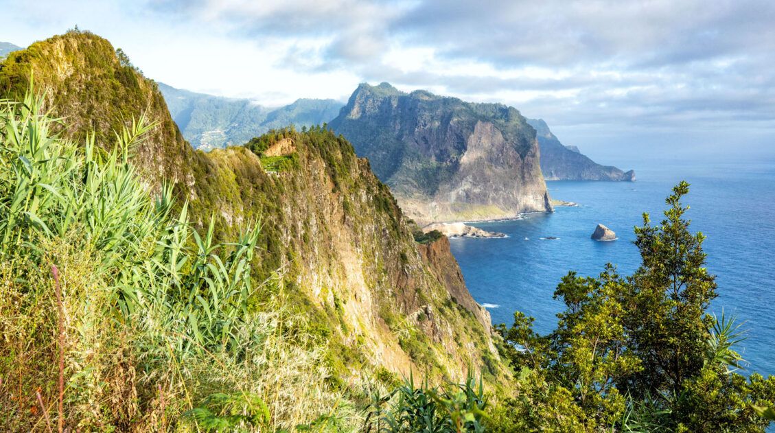
Looking for a beautiful hike and an escape from the crowds? This off-the-beaten-path hike follows along Madeira’s northeastern cliffside, offering views over the dramatic cliffs and the blue ocean far below. With a mostly flat and forested trail with hardly anyone in sight, Vereda do Larano is a serene escape from the island’s main tourist attractions.
This is similar to hiking the Path of the Gods on the Amalfi Coast in Italy, with its high mountain trail and coastal views. The Path of the Gods is more spectacular, in our opinion, but if you did that hike and enjoyed it, Vereda do Larano is a hike to add to your Madeira to-do list.
This guide covers hiking Vereda do Larano from the end of the paved road Caminho do Cabo de Larano and turning around at Boca do Risco.
For those who want to go farther, the hike can be extended in both directions. You can start in Porto da Cruz and hike up to the trailhead and you can hike beyond Boca do Risco.
Vereda do Larano Hiking Stats
The following Vereda do Larano hiking stats are for the out-and-back hike starting at the end of the paved road Caminho do Cabo de Larano and turning around at Boca do Risco.
Distance: 10.6 km (6.6 miles)
Difficulty: Easy
Total Ascent: 250 meters (820 feet)
Highest Elevation: 375 meters (1,230 feet)
Lowest Elevation: 260 meters (850 feet)
Time: 2.5 to 4 hours
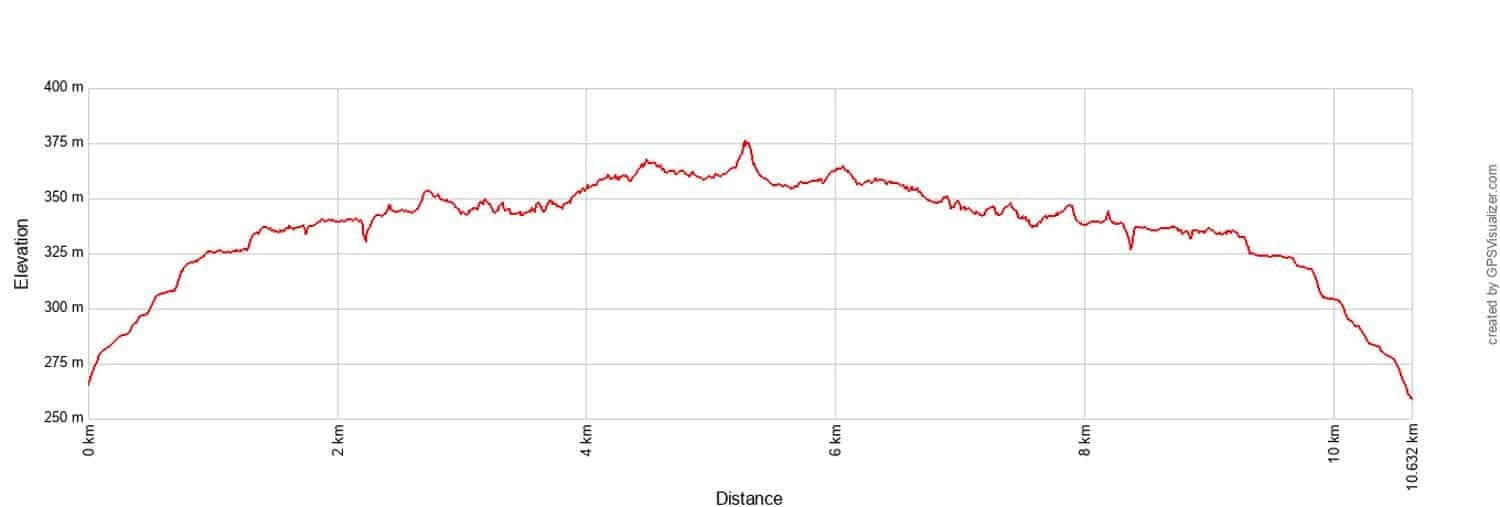
Vereda do Larano Elevation Profile
Please practice the seven principles of Leave No Trace: plan ahead, stay on the trail, pack out what you bring to the hiking trail, leave areas as you found them, minimize campfire impacts, be considerate of other hikers, and do not approach or feed wildlife.
How to Hike Vereda do Larano
Step-By-Step Trail Guide
From the end of the paved road, Caminho do Cabo de Larano, a narrow, concrete road continues uphill. Walk up this road and it is a 0.8 km (0.5 mile) walk to get to the hiking trail. You’ll cover most of the elevation gain on this short walk.
Just before you get to the dirt track, you will pass an old cable car station. From here, you get your first great view of the coast.
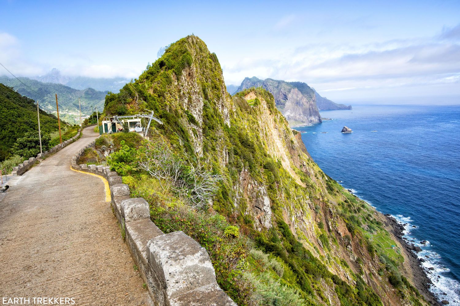
This is the view of the cable car station, the coast, and the view looking down the road towards the parking area.
The concrete path will now turn into a dirt track.
Once at the dirt track you will find trail signage. On the trail signage you will see that the Vereda do Larano hike can be a total of 10.5 km (6.5 miles) one way if you hike it from town to town. However, we recommend only hiking along the higher elevation portion of the trail, which is what we cover in this guide. This is the highlight of the full trail, offering beautiful cliffside views without any long strenuous climbs.
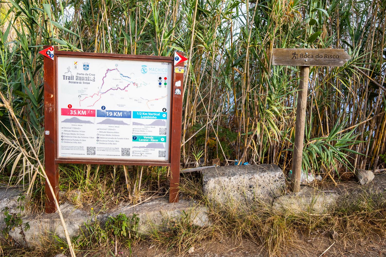
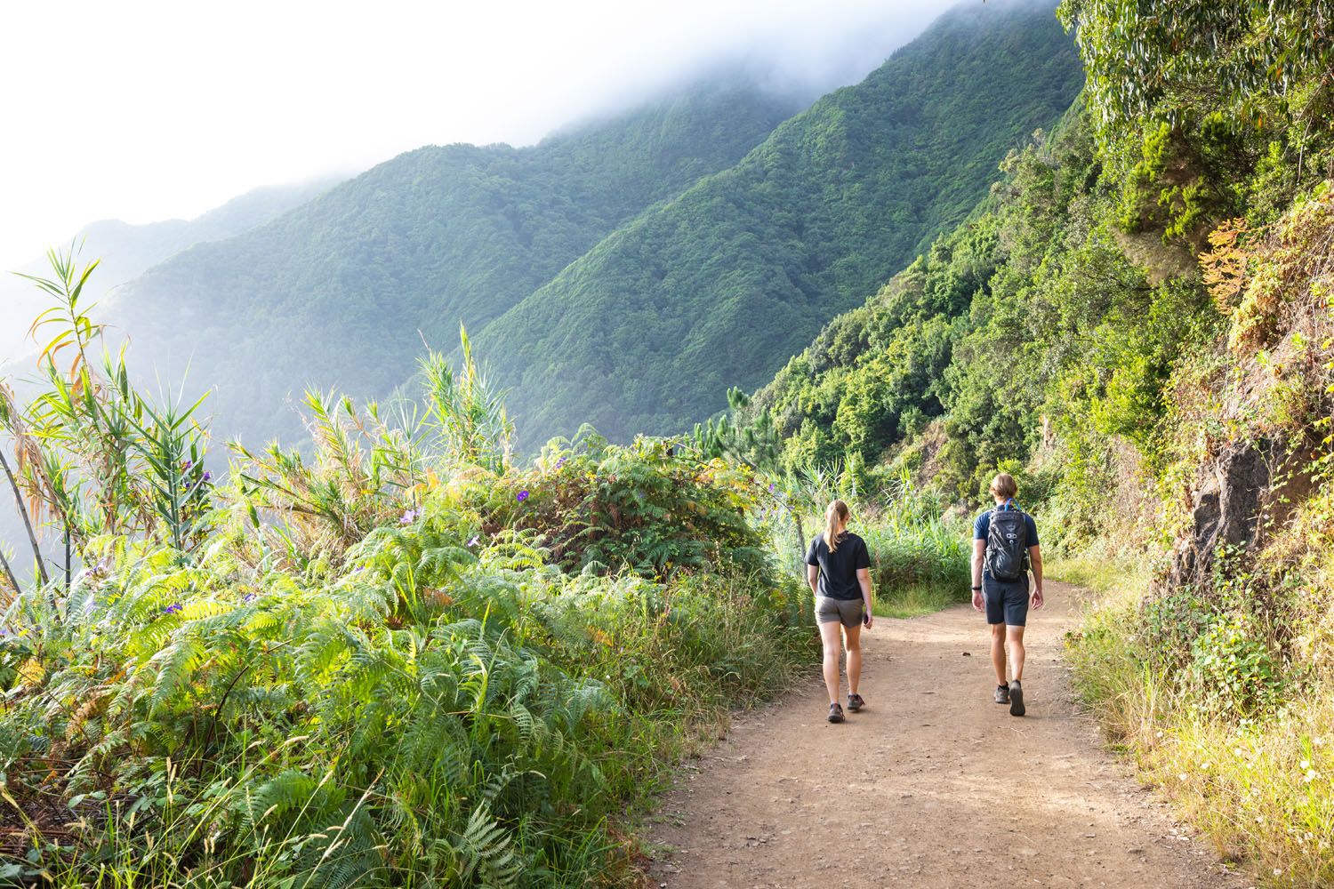
Follow the dirt track for about 0.4 km (0.25 miles) and it will turn into a trail.
The trail enters a forest where there are occasional breaks in the trees for the view looking back to Porto da Cruz. This is a stunning view, with a sheer cliff-face jutting into the sea, and distant mountains covered in morning fog.
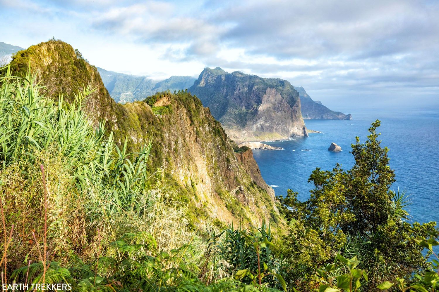
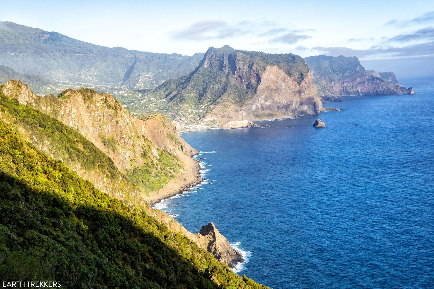
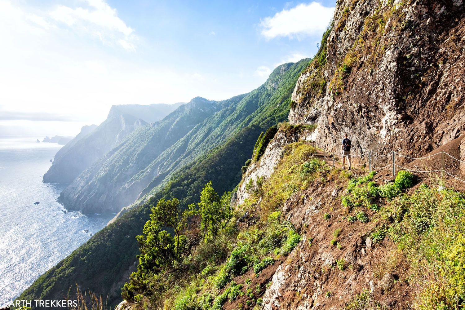
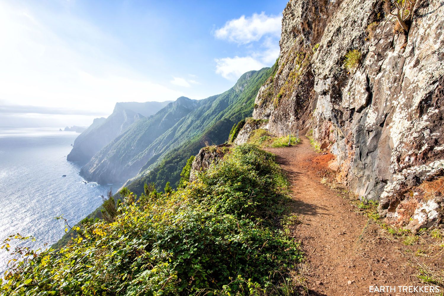
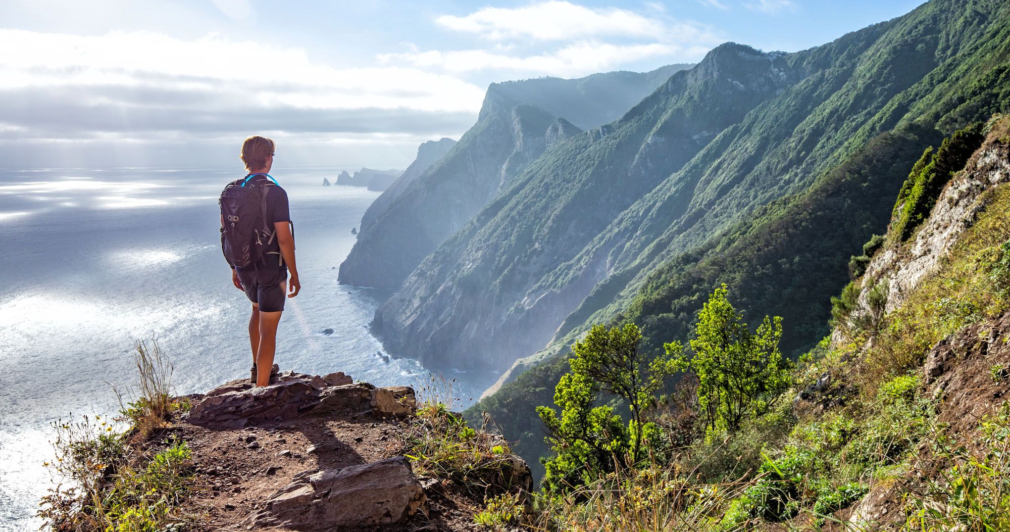
Eventually the views will open up in front of you. And for the next kilometer you will be hiking along the rocky cliffside, being treated to breathtaking views of the coastal mountains. In the far distance is São Lourenço peninsula, the location of another great hike in Madeira, Vereda da Ponta de São Lourenço (PR8).
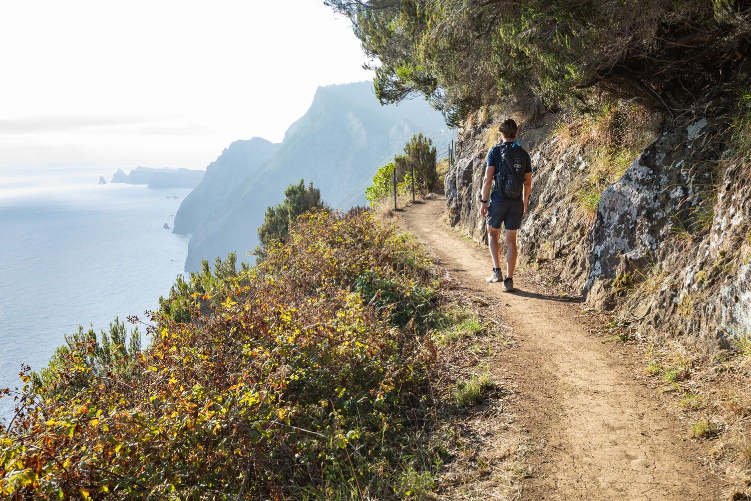
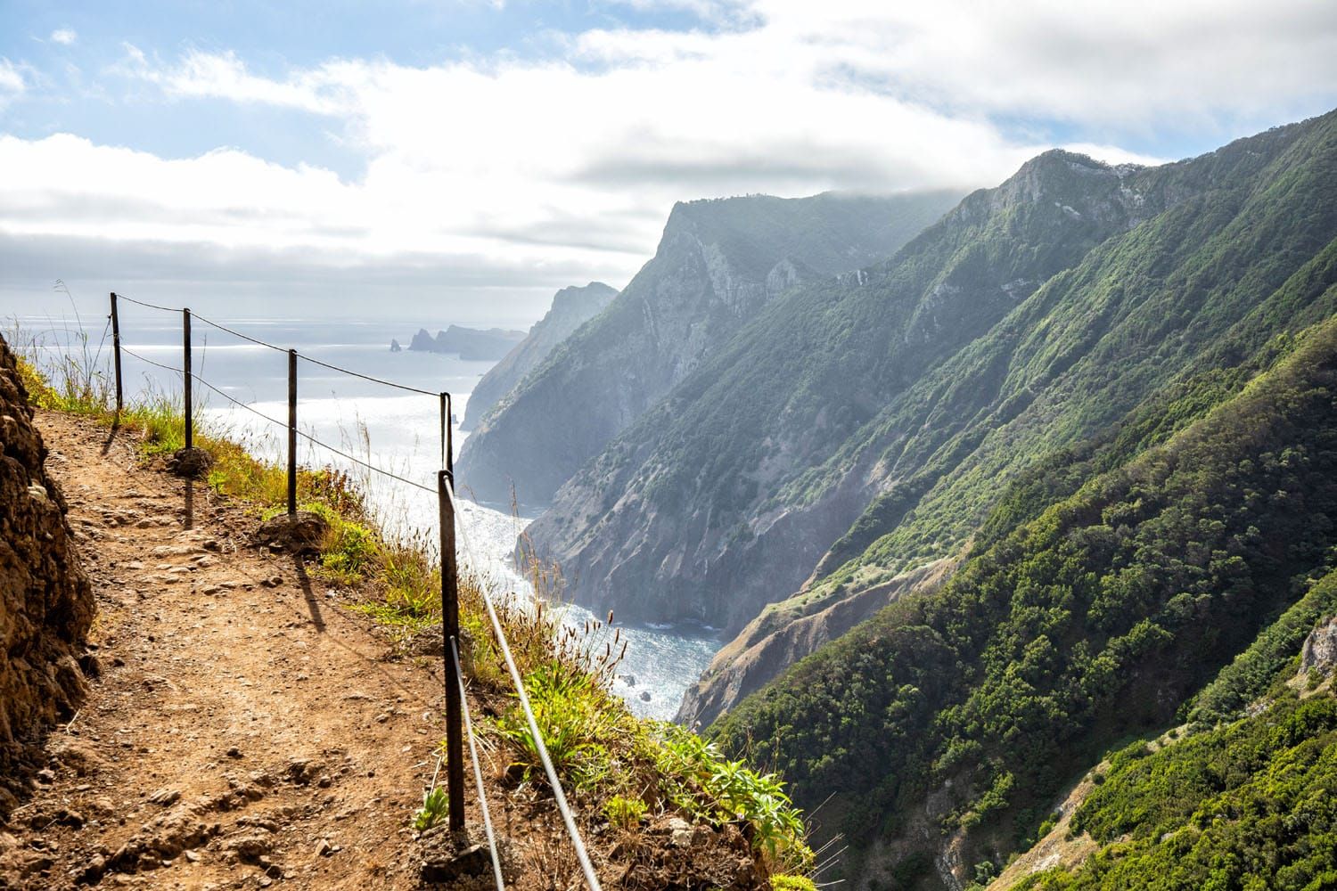
If you have a fear of heights, we recommend taking caution about doing this hike. In many sections there are no guardrails even as the trail winds right next to a sheer descent.
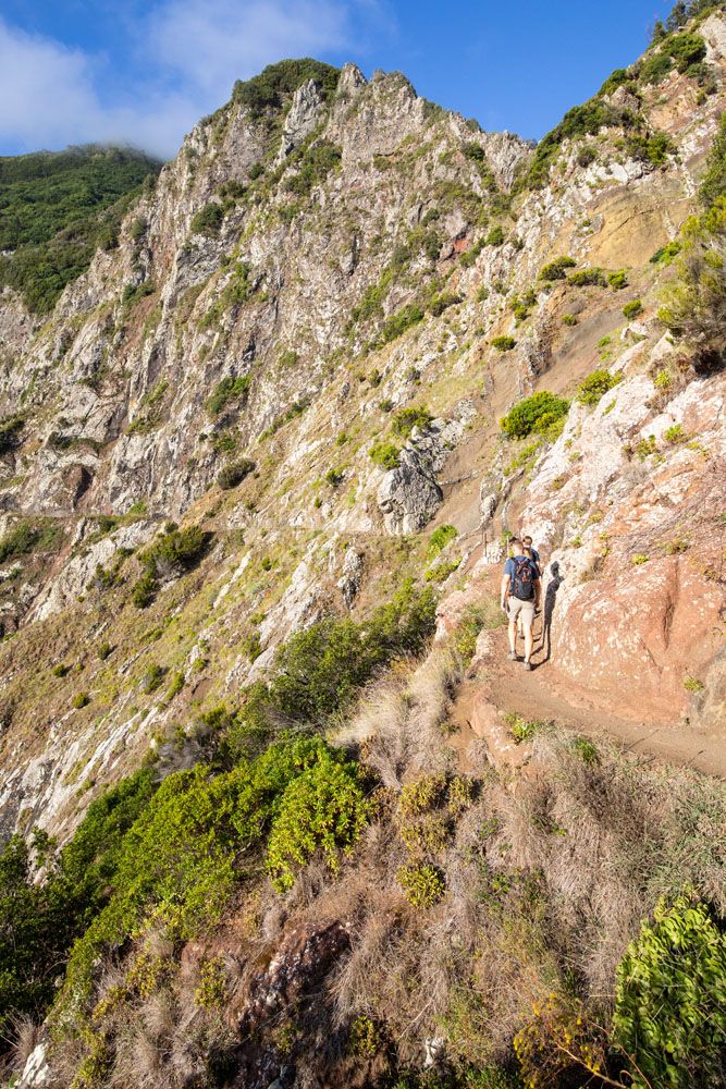
There are sections of the trail with a drop-off and no guardrail, like in the photo above.
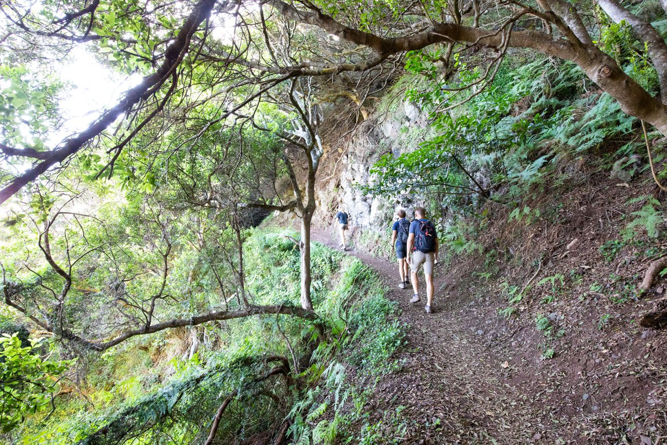
Towards the final third of the Vereda do Larano hike, you head back into the forest. You lose some of the wonderful views, but if it is a hot day, the shade will provide a nice break from the heat.
At 5.3 km (mile 3.3), you will reach an area of intersecting trails. This is Boca do Risco, the turn around point. From this spot, there is a very short, steep trail (about 20 meters) that leads up to grassy area and viewpoint. This is a nice place to take a break and have a snack before returning to your car.
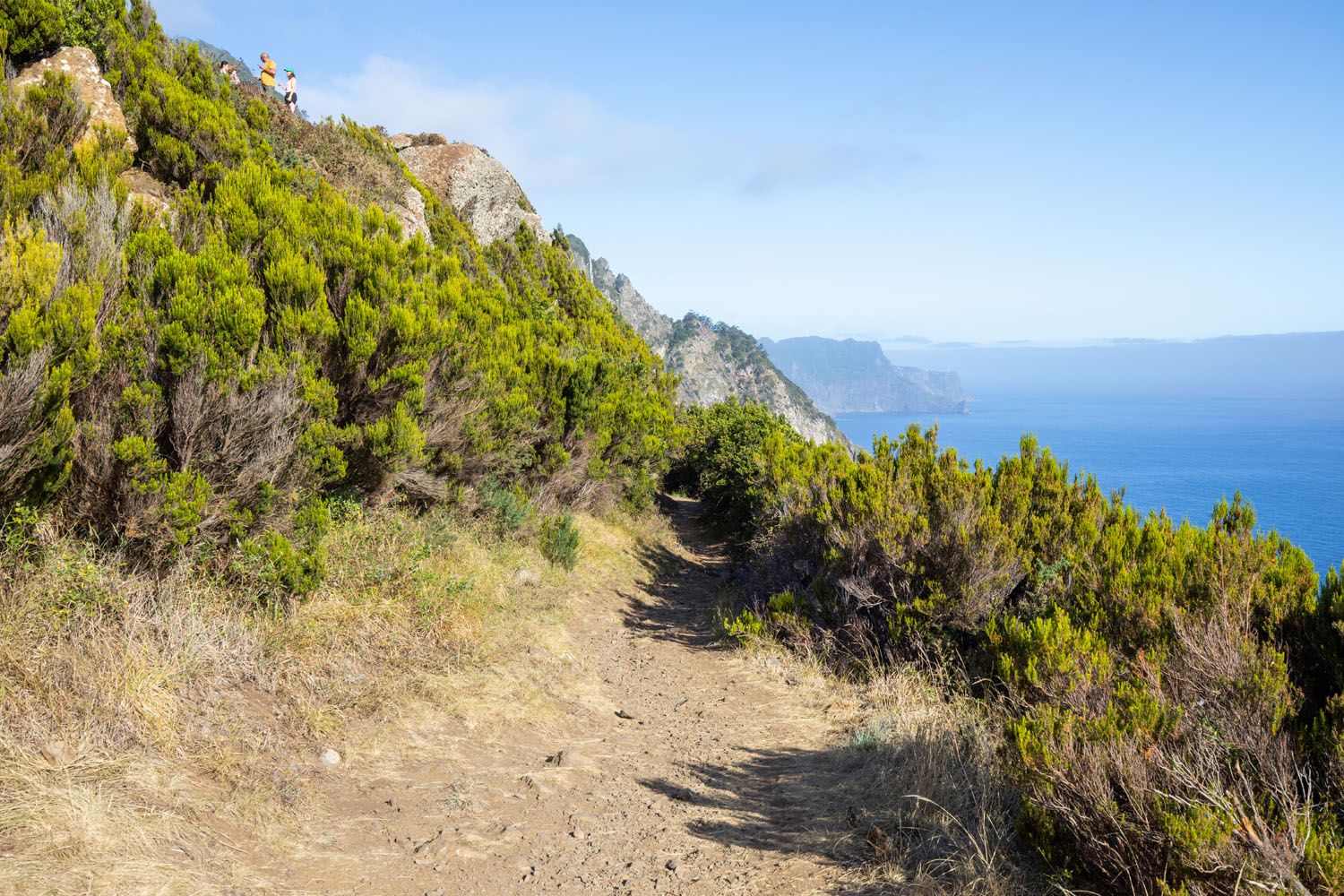
Boca do Risco. The people are standing at the higher viewpoint. There is a short, rugged trail that leads up this spot, just to the left of this photo.
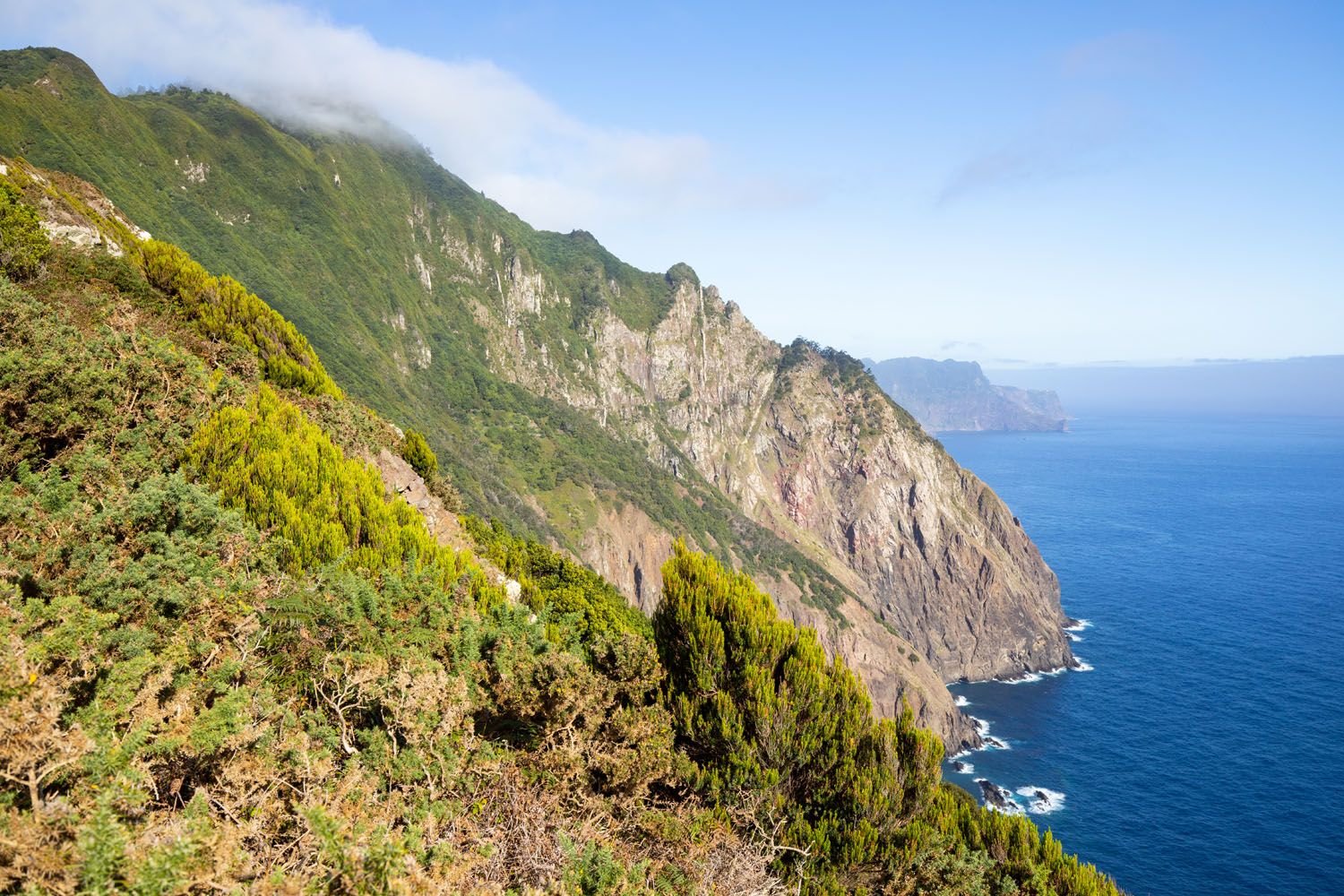
The view from the higher viewpoint at Boca do Risco.
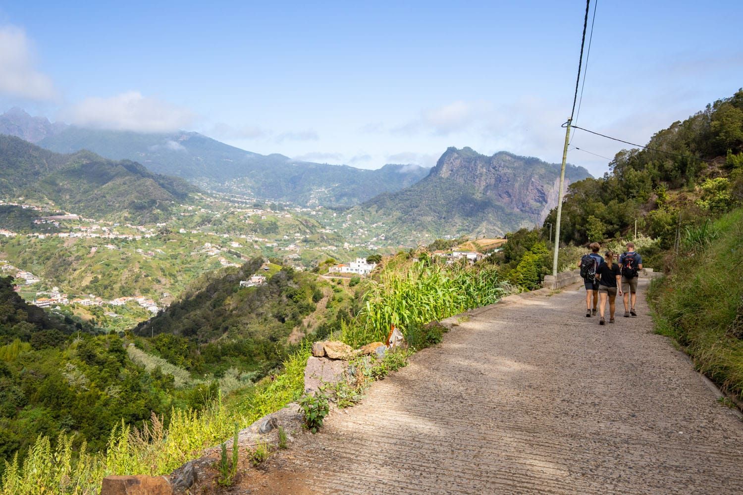
To complete the hike, hike back the same way you came. Here are a few photos taken on the return hike.
Hiking Vereda do Larano from Machico to Porto da Cruz
It is also possible to do this hike as a point-to-point hike from Machico to Porta da Cruz (or in the opposite direction). This becomes a much longer and difficult hike, as you have to climb up to the cliffside trail and later descend into town. This hike is roughly 13 km (8 miles) with 300 meters (1,000 feet) of elevation gain and rated as moderate.
How to Get to the Trail
The hike is located on the outskirts of Porto da Cruz. To get to the hike, drive up Caminho do Larano, which will turn into Caminho do Cabo de Larano as you keep ascending. At the end of this road you will come to a wider area that is sufficient for cars to turn around. For clarity, here are the GPS coordinates: 32°45’50.0″N 16°48’40.6″W
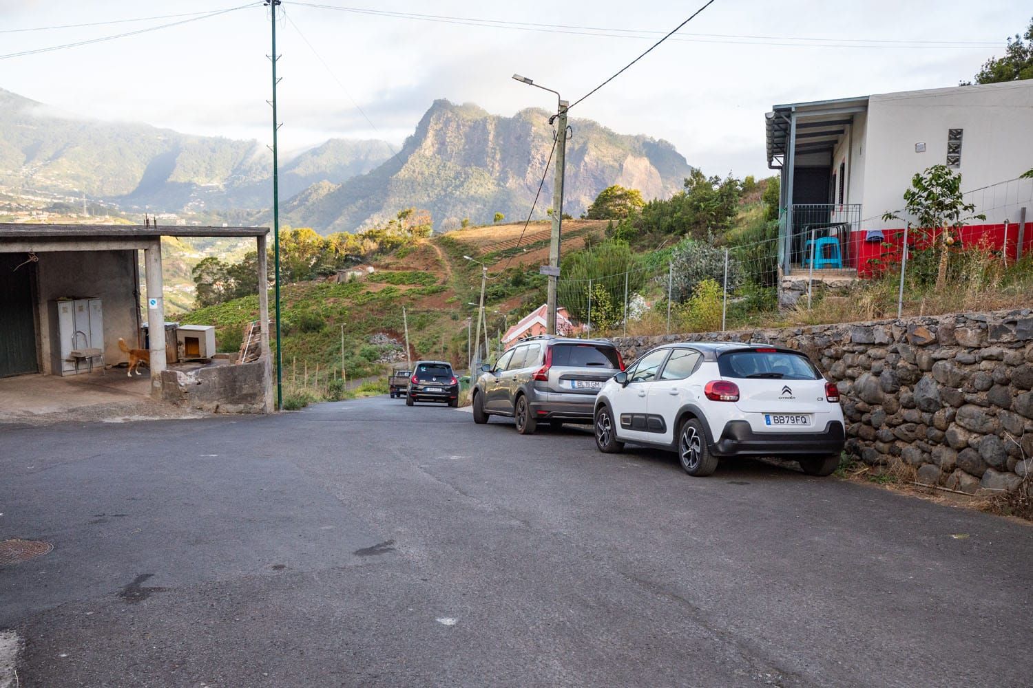
The tiny parking area at the end of Caminho do Cabo de Larano
Beyond this spot, the road continues but there is a posted sign stating vehicles should not continue farther:
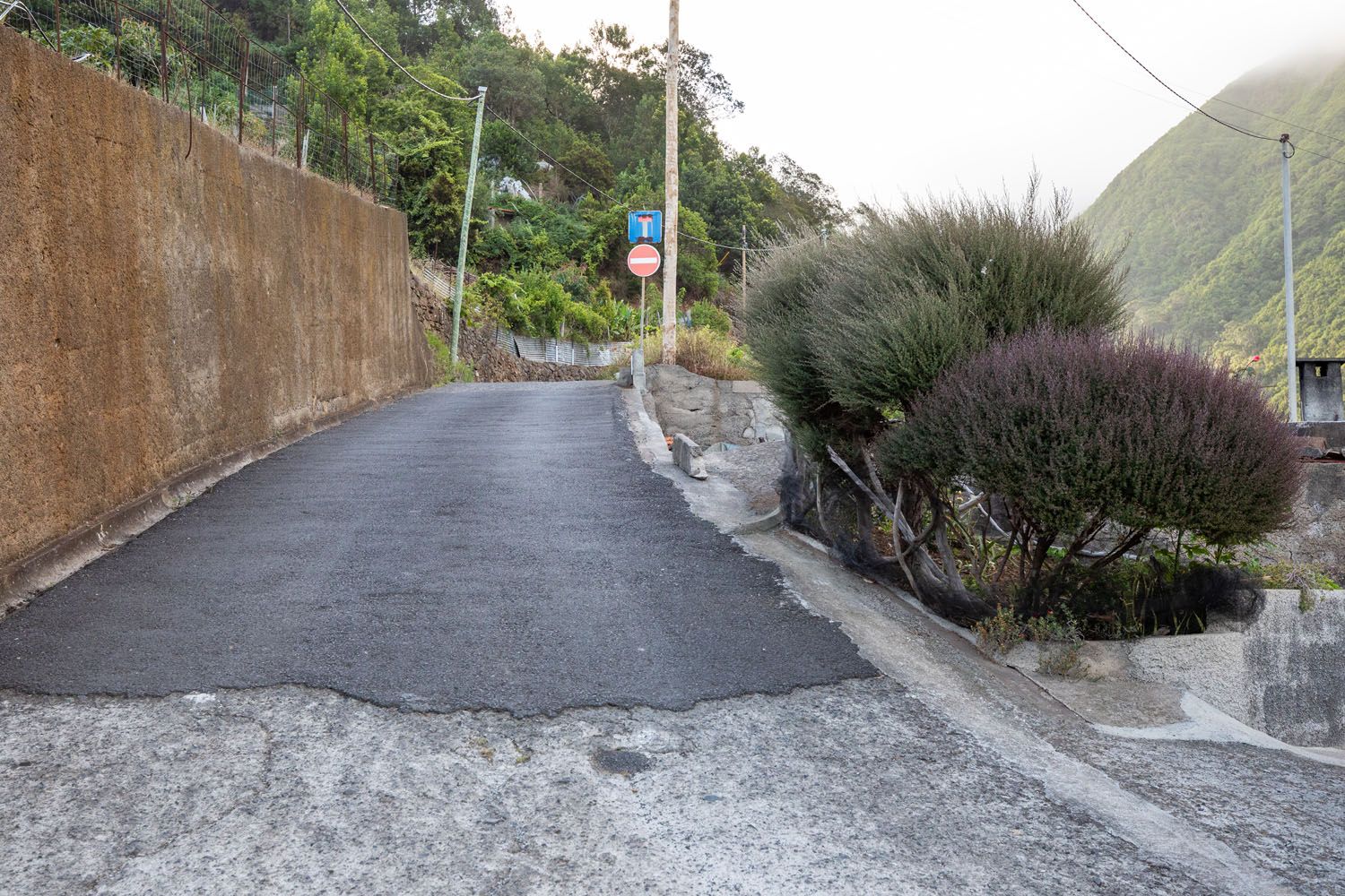
The wide, paved area at the turnaround of Caminho do Cabo de Larano is big enough to accommodate a few parked cars. Once this small area fills up, you’ll have to head back down the paved road and look for an appropriate place to park. This often involves parallel parking along the side of the steep road.
There are private residences along the paved road and at the turn around spot so please be mindful that you are not blocking access to their driveways and homes.
Once parked, follow the concrete path at the end of the paved road to begin the hike.
PRO TRAVEL TIP: Arrive early in order to be one of the few cars parked at the turn around spot at the end of the paved road. We arrived at 8:10 am and we were one of the first cars there. A few more cars arrived just after us. If you get here too late, you may have to park in town, which will add a lot of distance and elevation onto this hike.
Guided Tour of the Hike
Go on a guided hike of Vereda do Larano from Machico to Porto da Cruz. This will be a tougher, point-to-point version of the hike but it does cover your transportation and guide, which is a great option for those who want to do this hike but will not have a rental car while in Madeira.
What to Bring on the Hike
- Plenty of water (2 or more liters of water per person)
- Snacks
- Sunglasses. If you start in the morning, then you will likely be walking into the sun.
- Sunscreen
- Hiking shoes
Essential Hiking Gear: What Should You Bring on a Day Hike?
If you are new to hiking or are curious about what you should bring on a hike, check out our Hiking Gear Guide. Find out what we carry in our day packs and what we wear on the trails.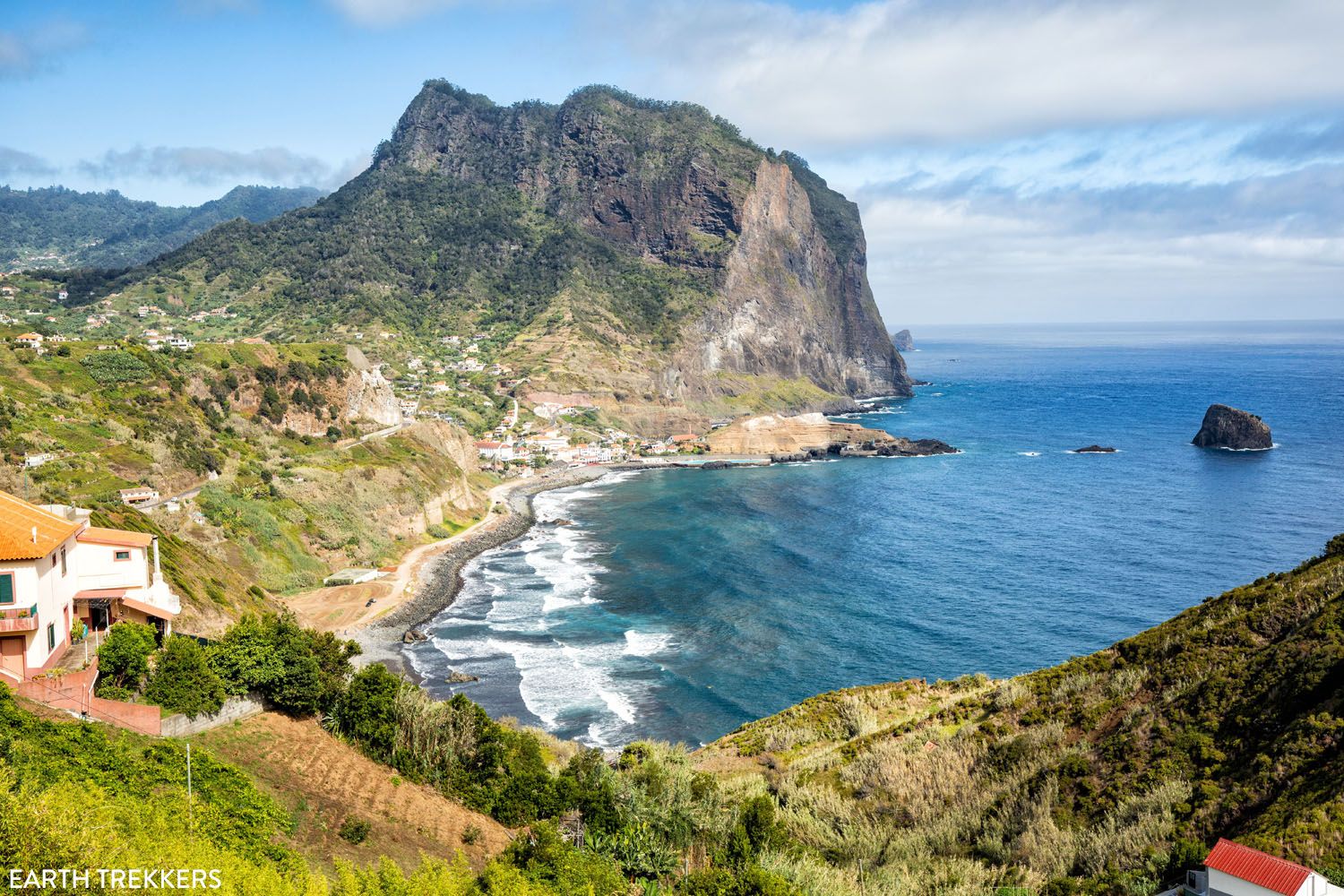
Porto da Cruz (you will get this view to and from the drive to the parking area on Caminho do Cabo de Larano).
Places to Go After the Hike
Some ideas of things to do after this hike:
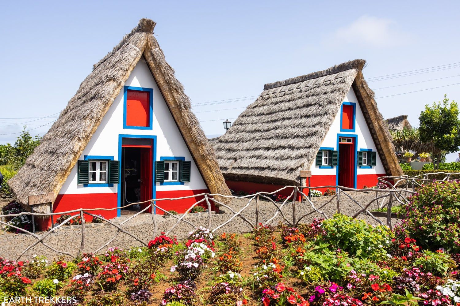
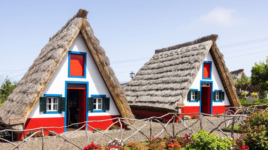
Casas Típicas de Santana. Visit the traditional Santana houses, just a 20 minute drive from the hike.
Restaurante O Recante. We thoroughly enjoyed our lunch at this restaurant after hiking Vereda da Ponta de São Lourenço (PR8). This restaurant is located in Caniçal, which is a 20-minute drive from the Vereda do Larano hike.
Frequently Asked Questions
When is the best time to hike Vereda do Larano?
Hiking in Madeira can be done year round. However, the best time is in the spring and fall when temperatures are a little cooler and crowds are thinner. The summer is also a fine time for this hike, as the Vereda do Larano route does not become overcrowded. Meanwhile, the winter offers cooler temperatures, but hiking is still possible if conditions are favorable.
Is the Vereda do Larano Hike Worth It?
If you have plenty of time in Madeira, enjoy hiking, and want to escape the crowds, then this hike is certainly worth it. We greatly enjoyed this easy venture and the cliffside views it offers. However, if you are short on time, we recommend you first hike the Vereda da Ponta de São Lourenço hike and the Pico do Arieiro hike, as these offer more spectacular views of Madeira.
How long does the Vereda do Larano hike take?
Estimate this hike to take between 2.5 to 4 hours. As the trail is mostly flat, it is easy to move along quickly.
Who can hike Vereda do Larano?
Anyone that is sure footed and capable of a 10.6 km (6.6 mile) hike will be able to complete this hike. With its mostly flat and shaded trails, this route only requires a basic level of fitness. Parents should reconsider taking children on this hike as the majority of the trail is narrow and there are long sections with cliffside drop-offs. Also, if you have a fear of heights, you may find this trail challenging.
Can people with a fear of heights hike this trail?
If you have a fear of heights, there are a few sections where the trail runs along the edge of a cliff without guardrails. If you are not comfortable with this then we do not recommend hiking this route.
If you have any questions about how to hike Vereda do Larano, let us know in the comment section below.
More Madeira & Portugal Travel Guides
We have TONS more information about Portugal in our Portugal Travel Guide, including Lisbon, Sintra, Porto, the Algarve, the Douro Valley, and Madeira.




Leave a Reply