This is a wonderful day hike to do in the Julian Alps of Slovenia. You start at the Vršič Pass, one of the highest roads in Slovenia, and hike to the summit of Slemenova Špica. Along the way, you get to walk through quiet, flower-filled valleys and enjoy spectacular views of the Julian Alps. On a clear day, you are also treated with views out to Italy and Austria. This is usually done as a point-to-point hike, but we found a detour that really keeps this hike interesting.
This hike is short, relatively easy, and filled with breathtaking views, so it’s perfect for active families and adventurous travelers. It’s a great way to get a taste of hiking in Triglav National Park without needing special equipment or doing a full day hike.
If you are visiting this part of Slovenia, you no doubt will be driving to the top of the Vršič Pass, so why not throw a short hike into the mix and turn a great day into a spectacular day?
Slemenova Špica Hiking Stats
Distance: 5.7 km (3.5 miles) round trip
Elevation Gain: 550 meters (1800 feet)
Difficulty: Easy to moderate
Length of Time: 3 to 4 hours
When to go: June through September
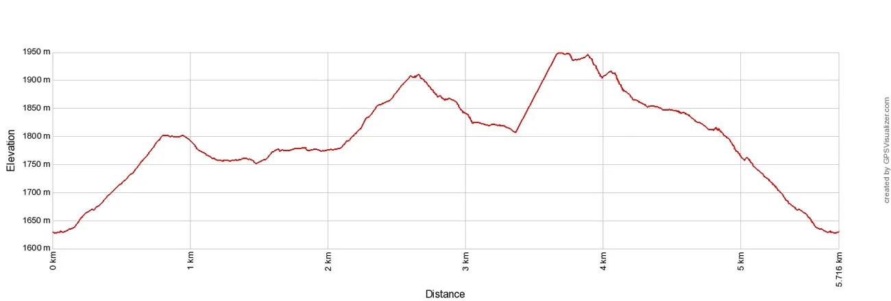
Sleme to Slemenova Špica Elevation profile
Please practice the seven principles of Leave No Trace: plan ahead, stay on the trail, pack out what you bring to the hiking trail, properly dispose of waste, leave areas as you found them, be considerate of other hikers, and do not approach or feed wildlife.
Hiking to Sleme and Slemenova Špica in the Julian Alps
Getting to the Trailhead
The trail starts at the top of the Vršič Pass. There are small parking lots at the pass but you will need to get here early in the morning in order to get a spot. If they are all taken, there is plenty of room to park on the shoulder of the road.
We arrived at the Vršič Pass at 8:30 am and all of the parking lots were filled. We parked along the shoulder about a quarter of a mile downhill from the Vršič Pass.
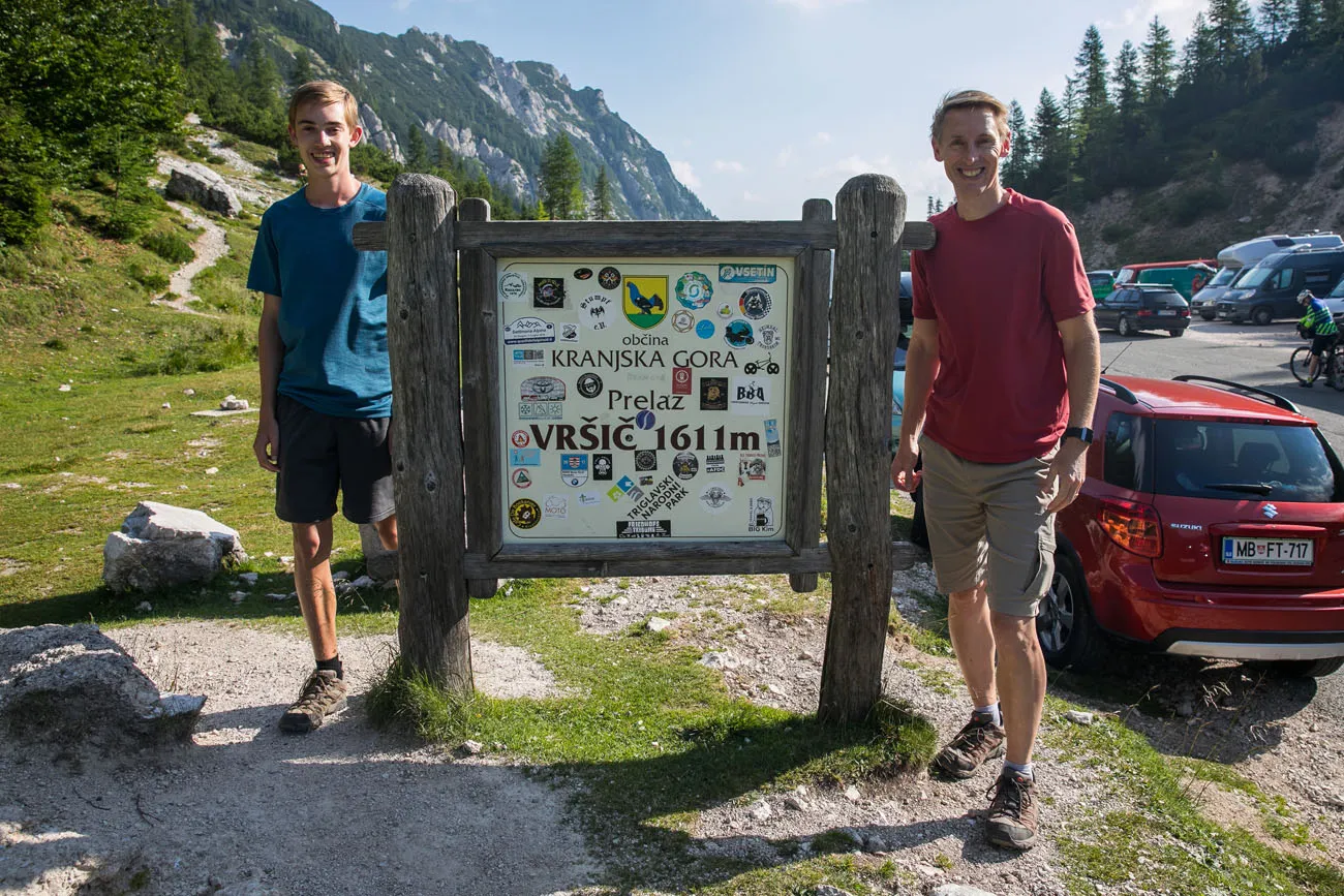
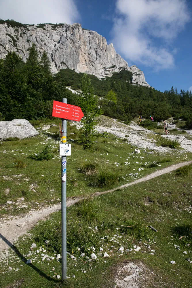
The trailhead is located at the top of the pass opposite the main parking lot. Look for the large Vršič Pass sign. Just a short distance away is the trailhead. Look for a red sign that points towards Slemenova Špica and Mala Mojstrovka and then follow the trail uphill through the low spruce forest.
Vratica Saddle
The trail steadily climbs up through a short, shrubby spruce forest. It’s a moderate climb and it takes 30 to 40 minutes to hike from the Vršič Pass to the Vratica Saddle. This is one of the most challenging (and boring) sections of the hike.
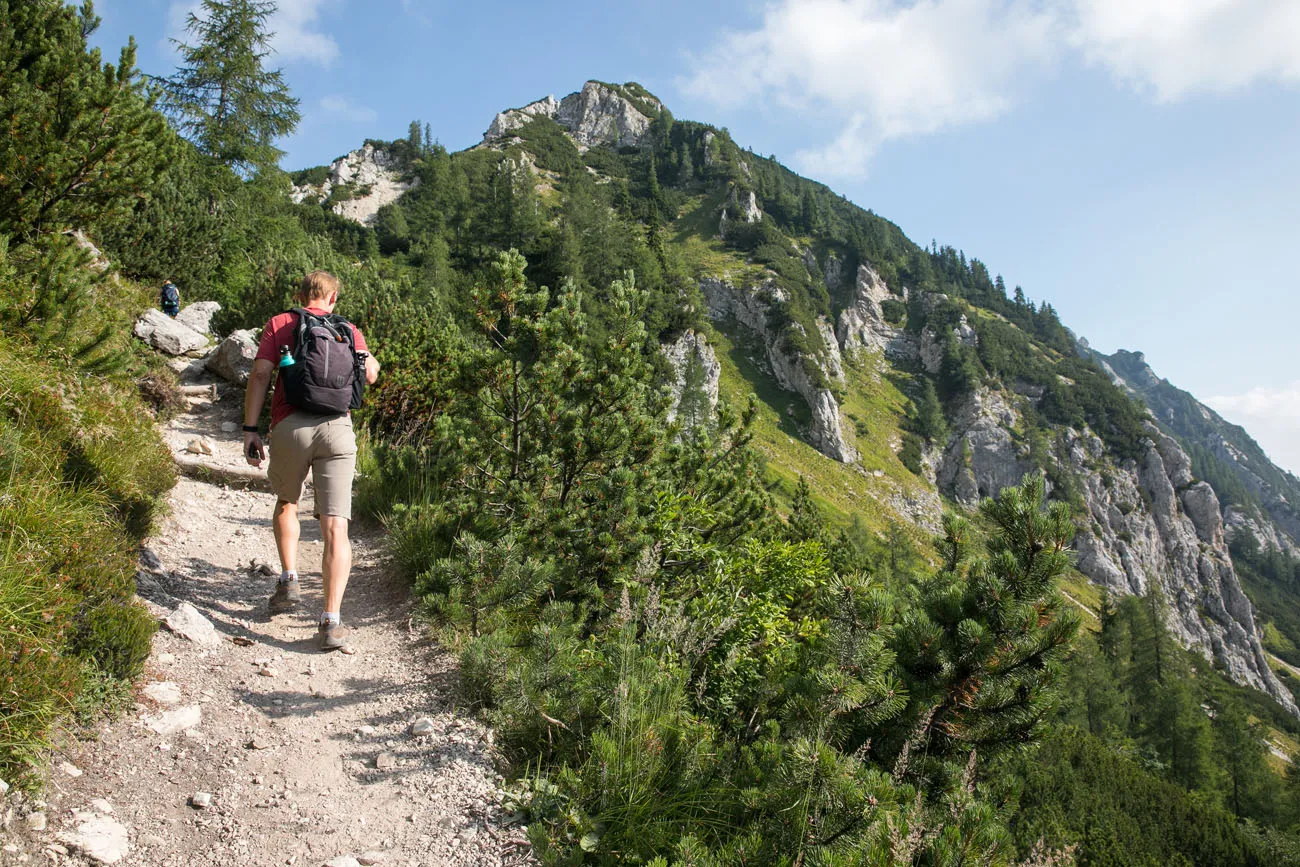
You may feel the effects of the altitude here. We felt a little more breathless than usual, but the elevation is not high enough to cause altitude sickness.
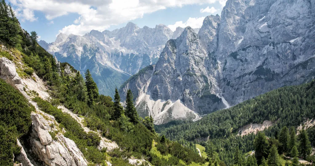
From the top of the saddle you get one of the best views of the hike.
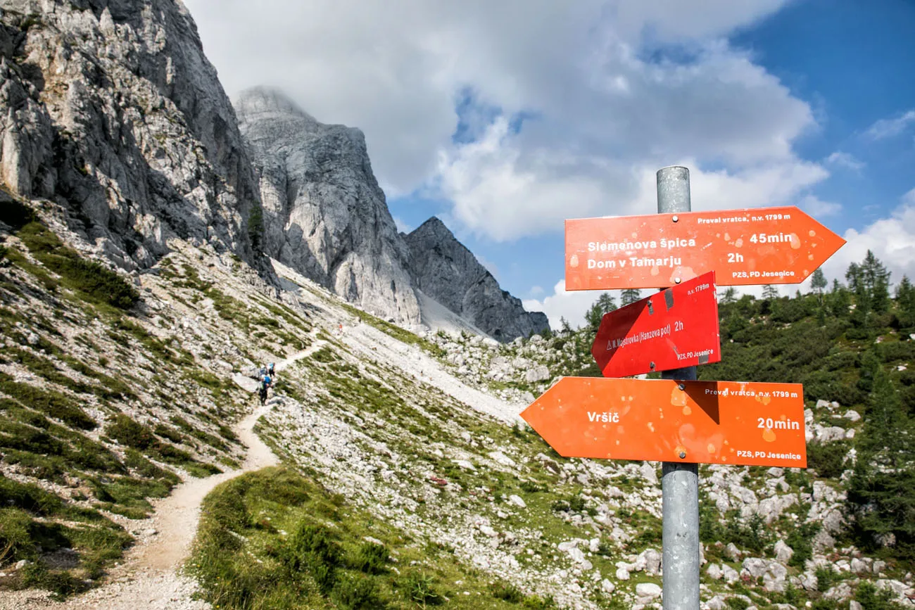
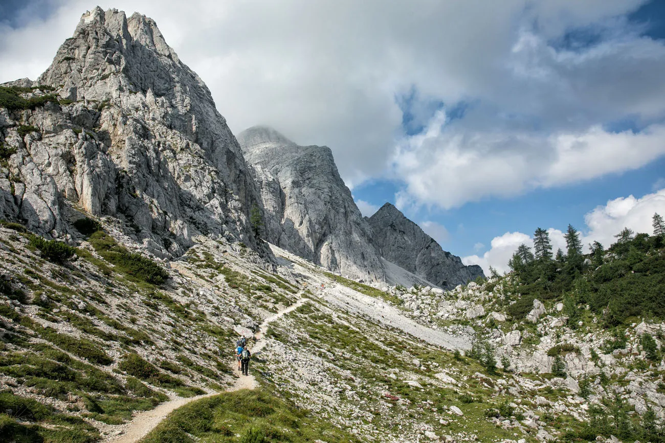
The hiking trail to Mala Mojstrovka. Don’t take this trail on the way out to Slemenova Špica; you will return on this trail at the end of the hike.
To continue out to Sleme and Slemenova Špica, take the trail to the right. Keep following the sign towards Slemenova Špica.
The trail to the left takes hikers up to Mala Mojstrovka. This hike ascends into the jagged peaks so you will need a harness and helmet if you go this way. However, this trail also connects to Sleme. If you follow this hike as we did it, you will come back on this trail, which is tons of fun, and you will bypass the climbing section that requires mountaineering equipment.
Slemenova Špica
From the trail junction at the Vratica Saddle, follow the trail to the right. Briefly, the path descends as you walk from one peak to another. It’s quiet and peaceful back in here and the changing views are one of the things that make this hike so enjoyable.
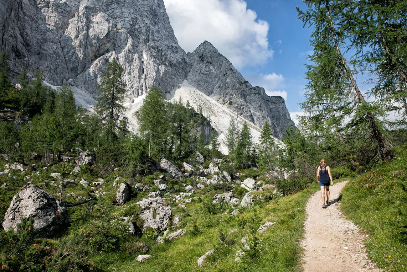
Then you arrive at a stunning viewpoint. From here, you can look out to Italy and Austria.
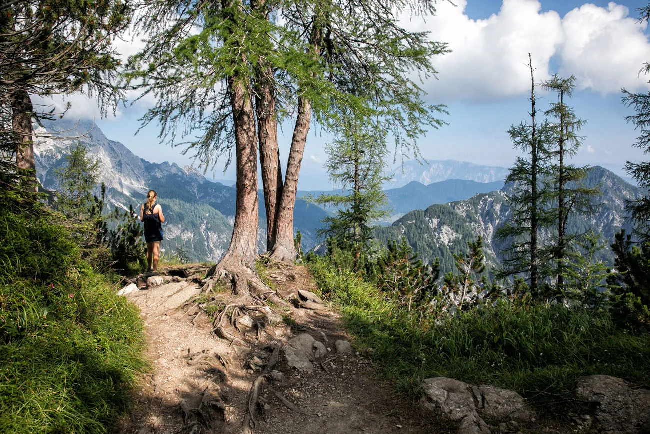
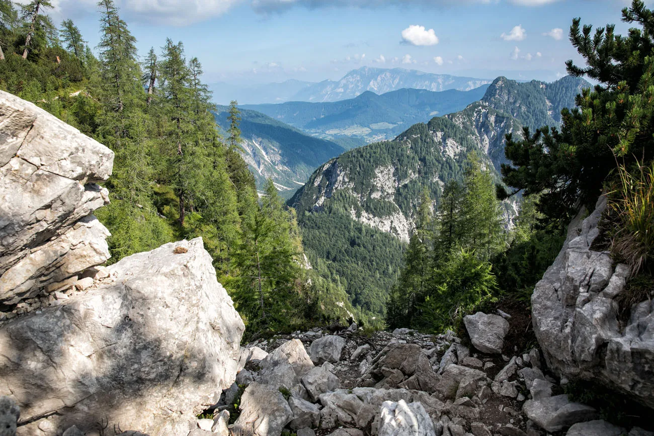
The trail climbs one more time to get to the top of Slemenova Špica. Near the summit, there is a small field that is a popular place to find some shade under a tree and have a picnic.
First, hike to the top of Slemenova Špica, enjoy the views, and take your photos. On your way back down, find a nice shady spot and have a picnic or a snack.
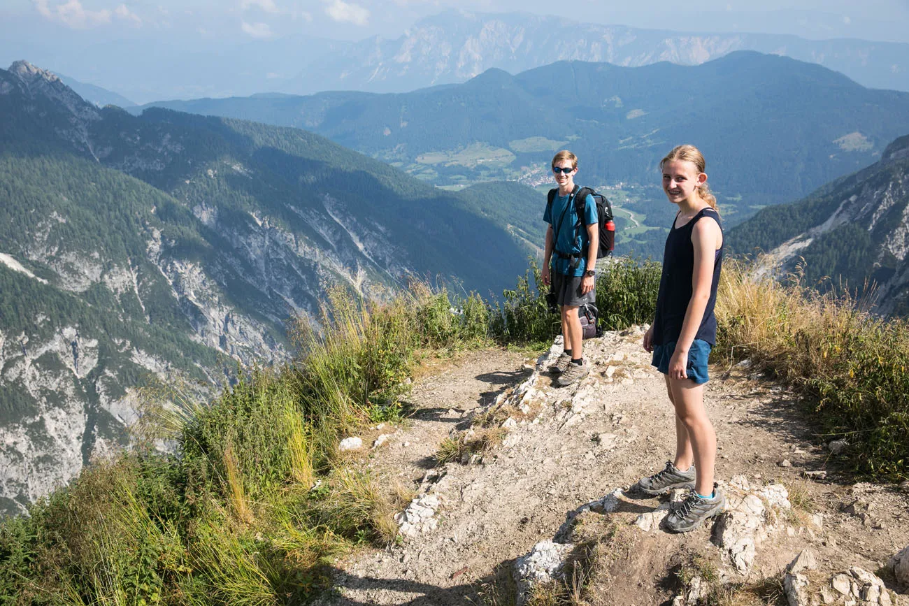
On the summit of Slemenova Špica.
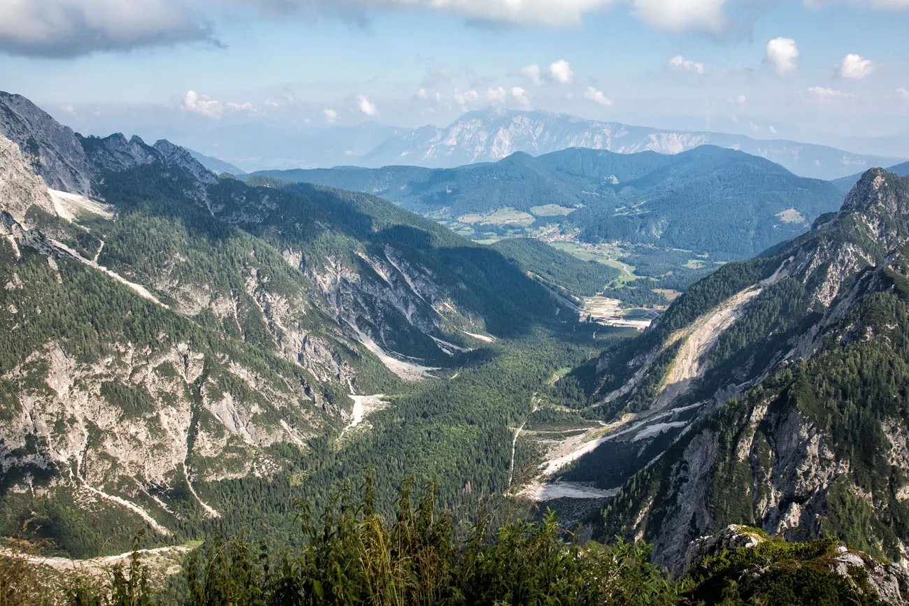
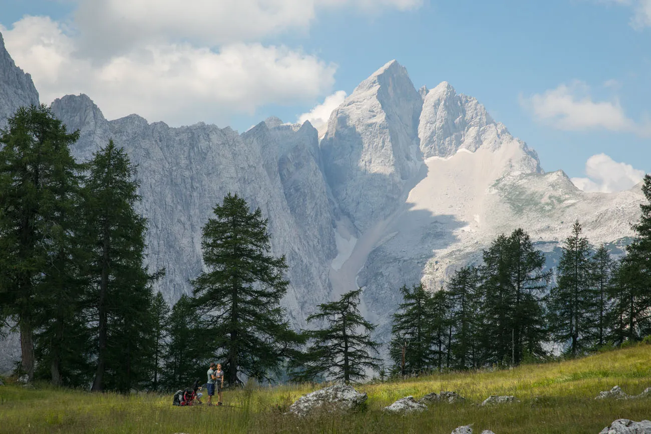
The valley below Slemenova Špica.
Optional Route via Mala Mojstrovka
From Slemenova Špica, you can hike back to the Vršič Pass the same way you came, making this an out-and-back hike. By doing it this way, it is a 5.5 km (3.4 miles) round trip hike and takes roughly 3 hours.
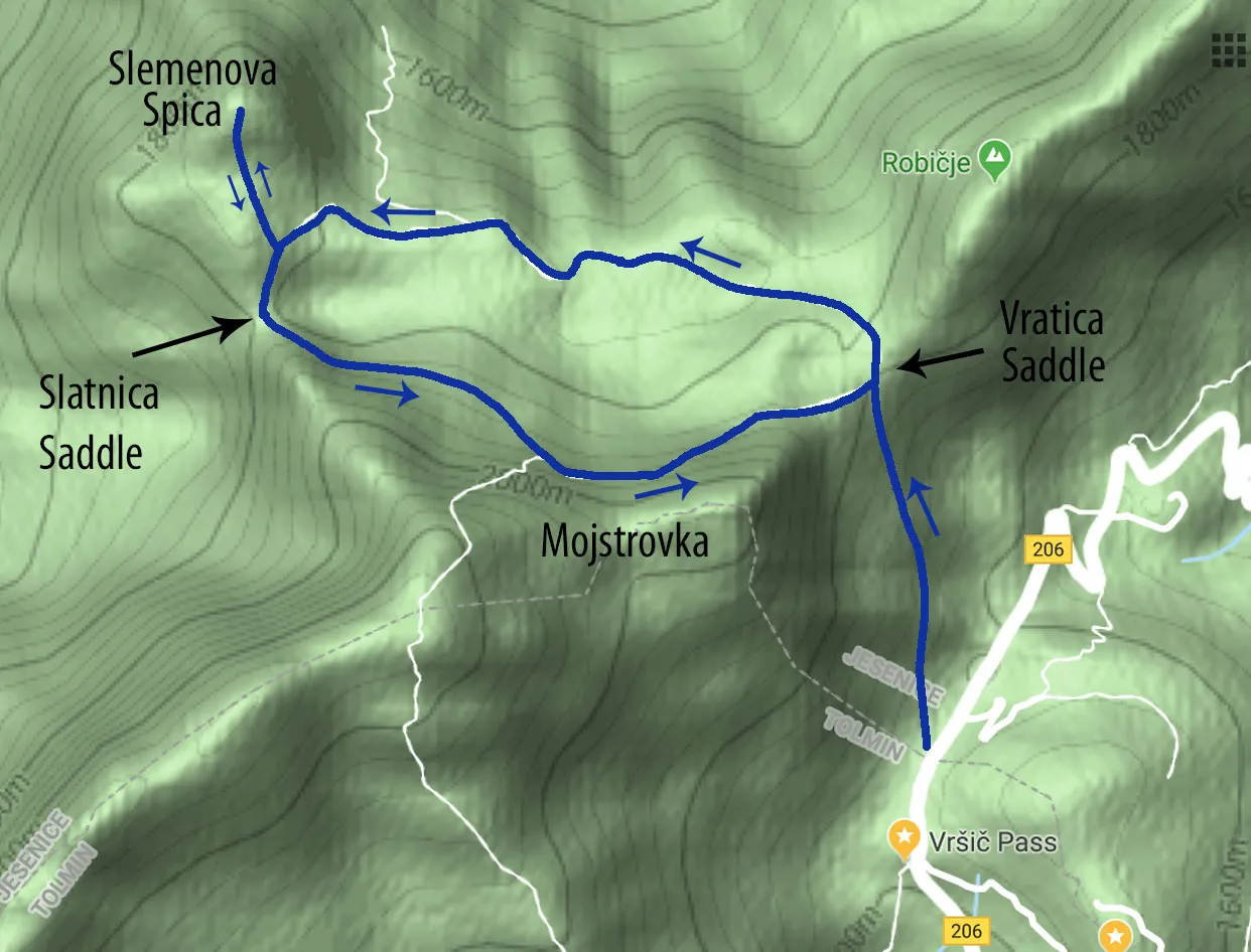
Or, you can do what we did and hike back via the Mala Mojstrovka trail. If you like the idea of having new views and hiking on a rocky trail with more exposure, follow our route back to the Vršič Pass. It adds a little more distance and elevation gain, but it’s worth it.
From the valley just below the Slemenova Špica peak, hike back down the first steep section of the trail. About 100 meters from the valley, at the bottom of the first steep decline, a trail leads off to the right. This trail is fainter, as it gets less traffic than the main trail to Slemenova Špica. This trail takes you to the Slatnica Saddle.
Slatnica Saddle
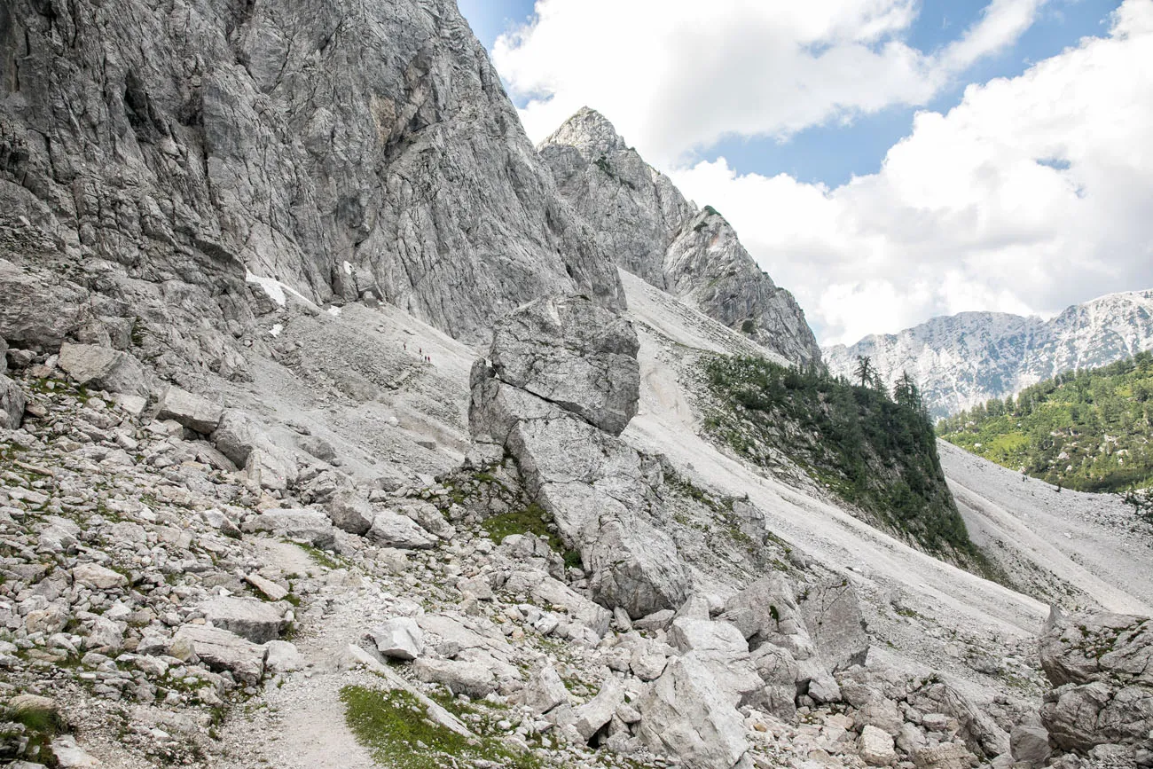
From the Slatnica Saddle, you have a great view back to Mala Mojstrovka. If you look closely, you can see a faint hiking trail leading through the scree at the base of Mala Mojstrovka. This is where you are heading next.
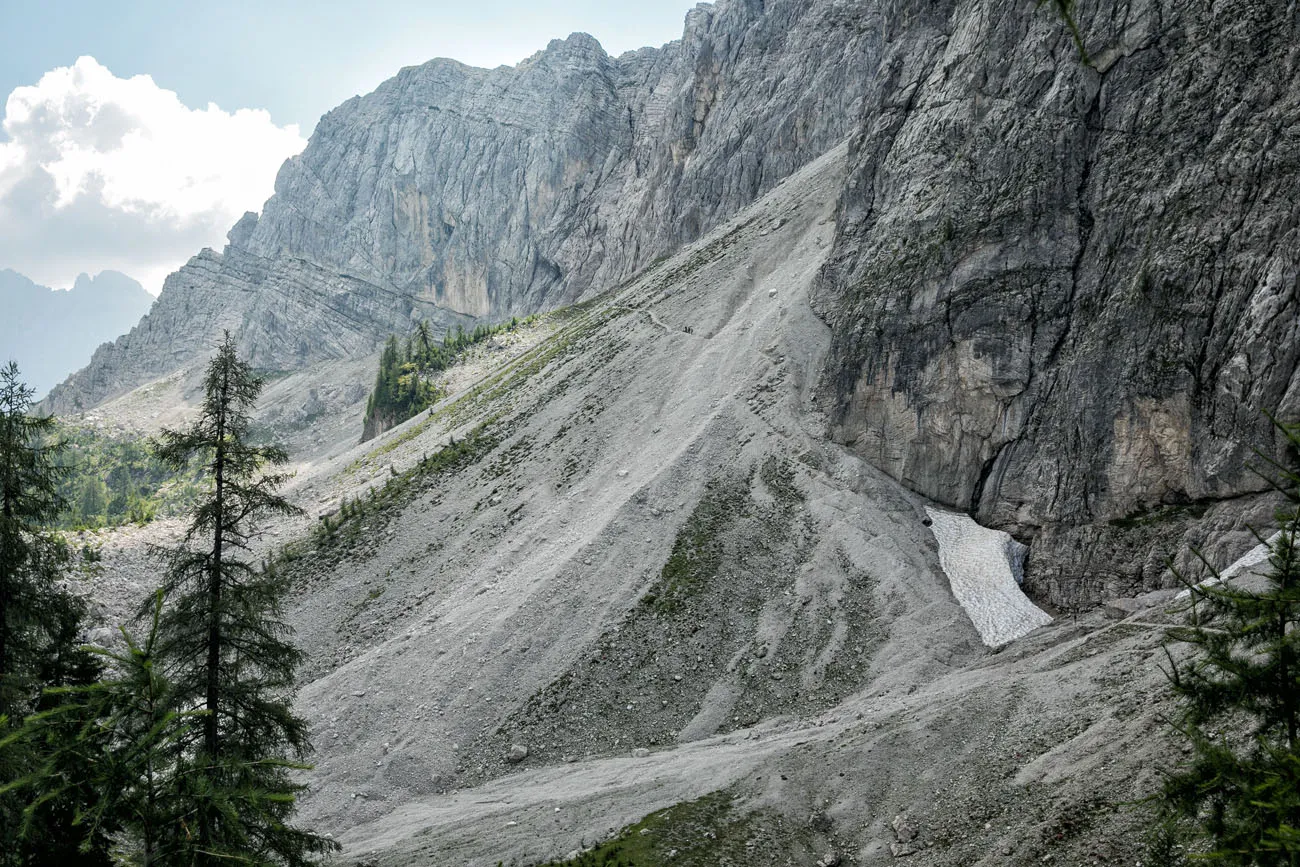
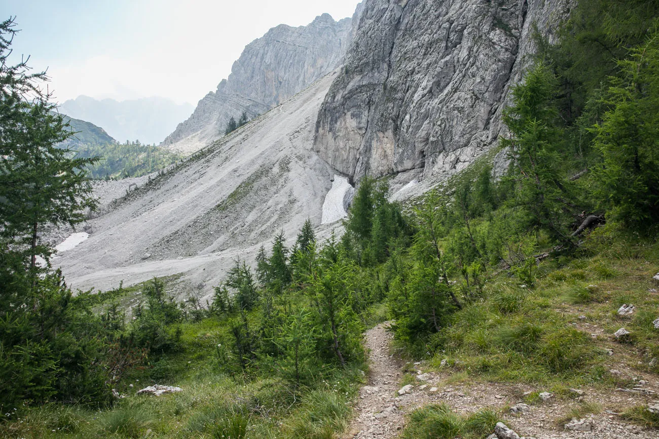
At the Slatnica Saddle the trail will fork again. Follow the trail to your left so that you are heading towards the gravelly slopes of Mala Mojstrovka. If you go to the right, you will hike downhill on a trail towards Tamar Crnez and Kranjska Gora (do not do this!).
The Trail along Mala Mojstrovka
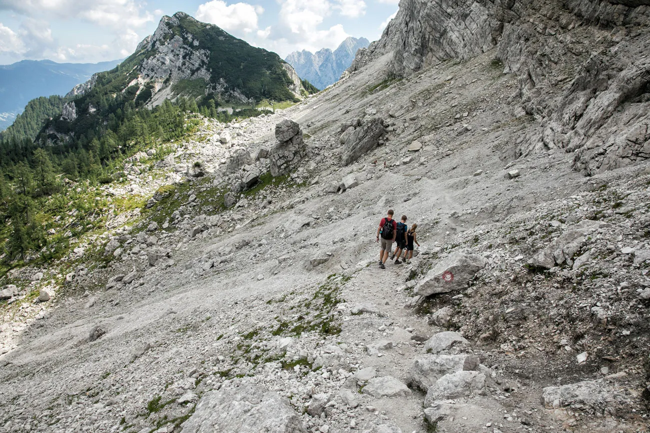
The trail descends a short distance and then climbs up the rocky slopes of Mala Mojstrovka. The trail switchbacks up and down through a field of scree, so it can be slippery and tiring. We even walked alongside a small patch of persistent snow, a pleasant surprise in August.
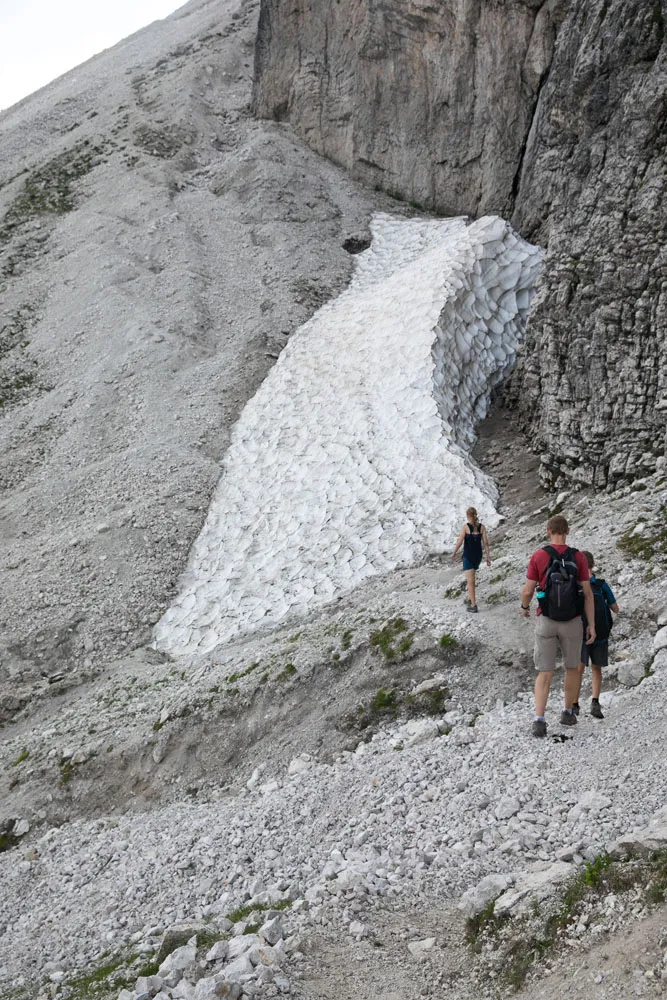
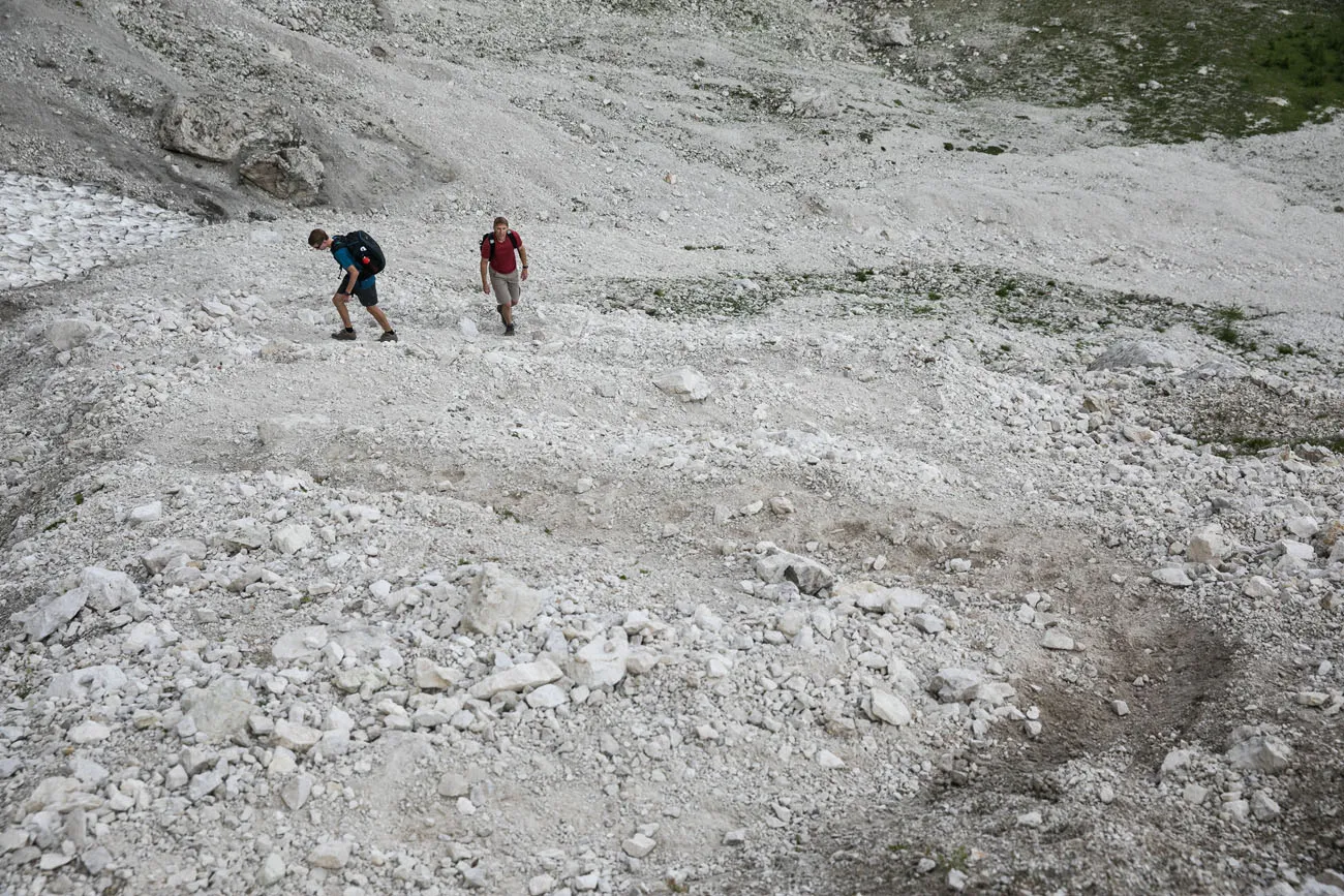
Once you climb up through the scree, the hardest part is over and you are back on solid trail again. To your right is the massive peak of Mala Mojstrovka and off in the distance you can see the Vratica Saddle.
As you keep walking, you will pass a trail that heads off to the right. This leads to the sheer face of Mala Mojstrovka. If you have a harness and helmet, you can take this trail. If you do not have gear, it is not safe to hike up Mala Mojstrovka.
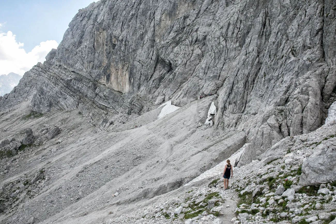
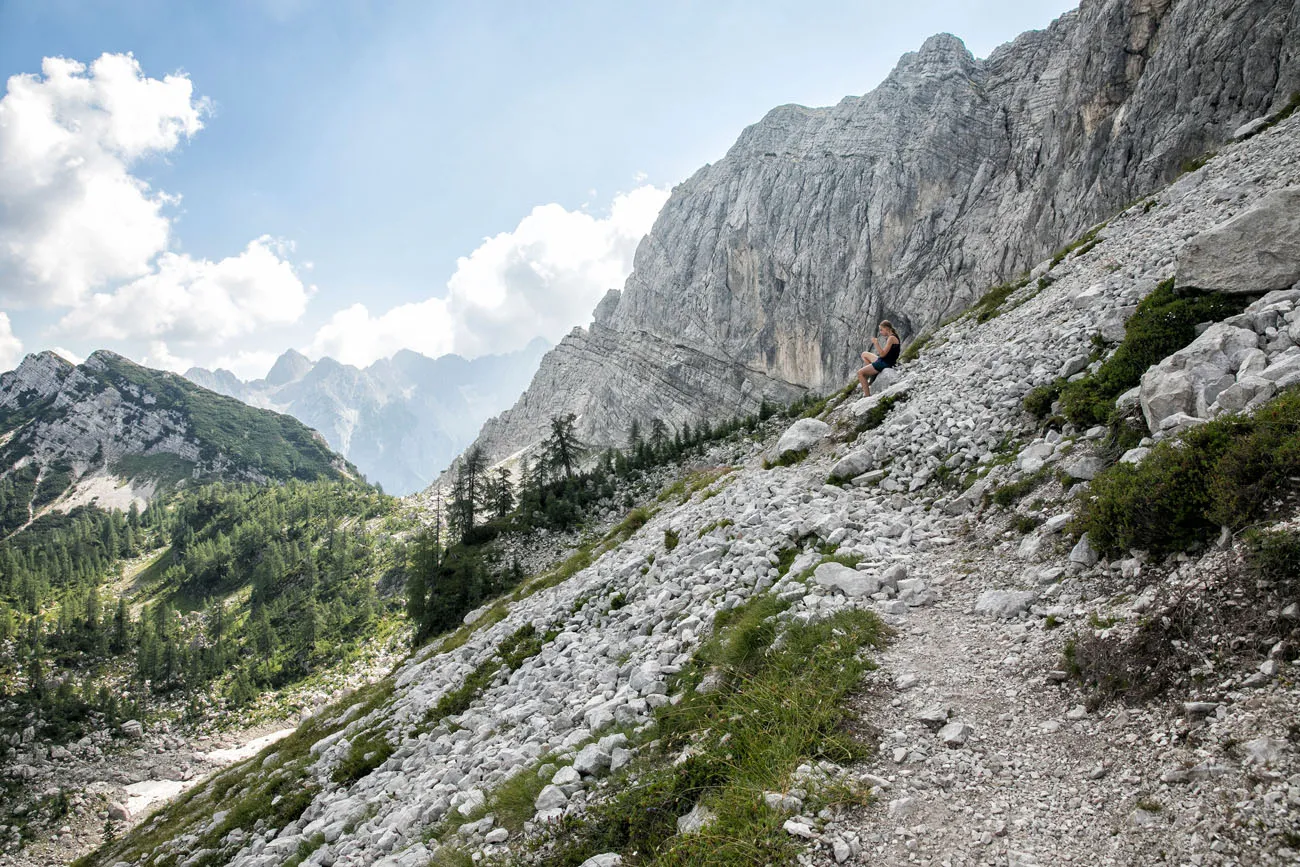
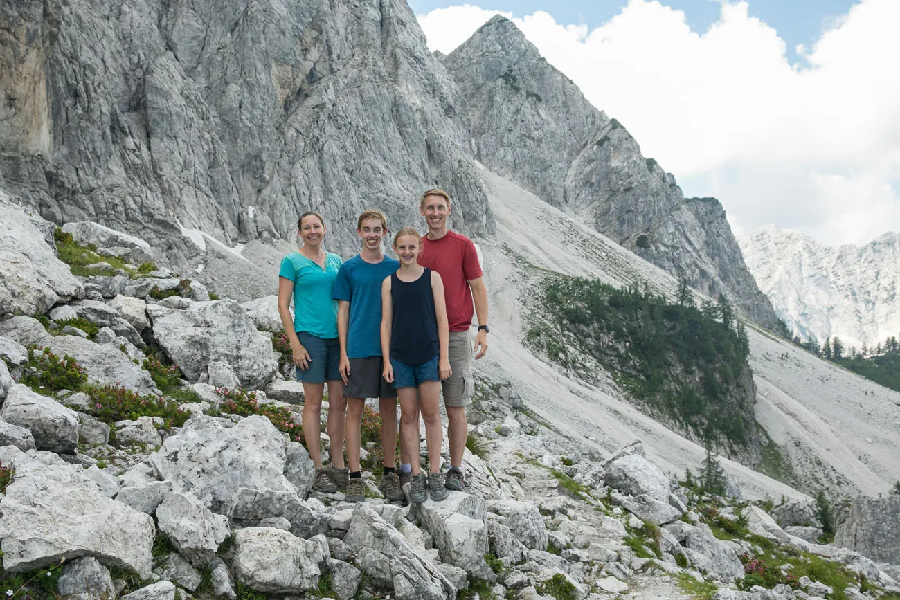
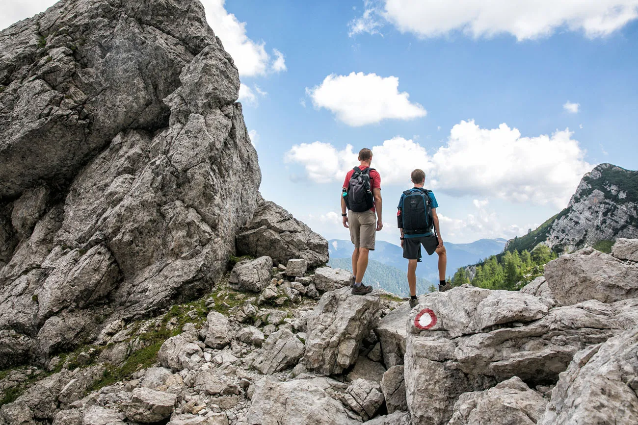
Enjoy the walk along the gravelly slopes. This was our favorite part of the hike and we were thrilled to have found that joining trail between Sleme and Mala Mojstrovka.
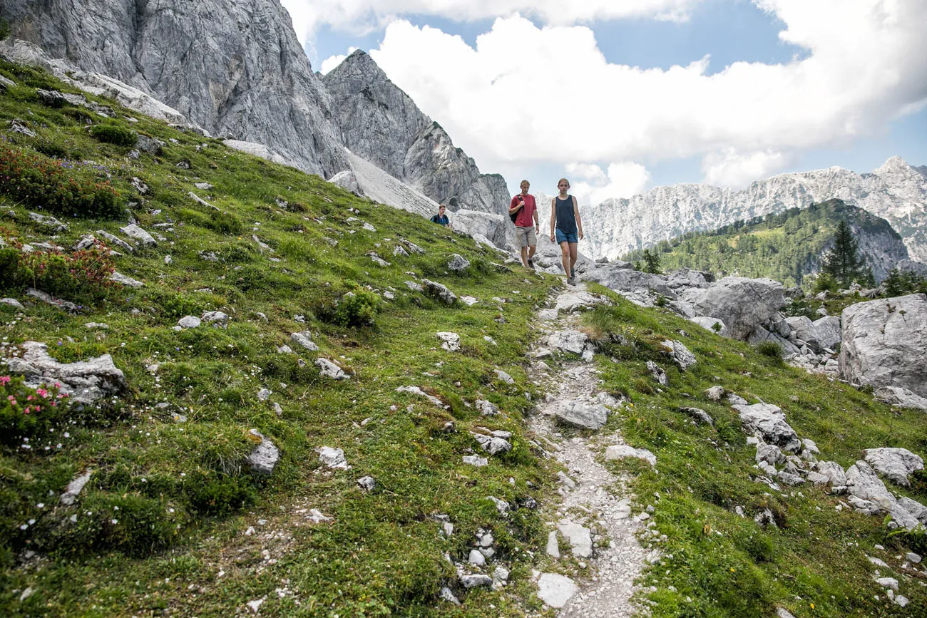
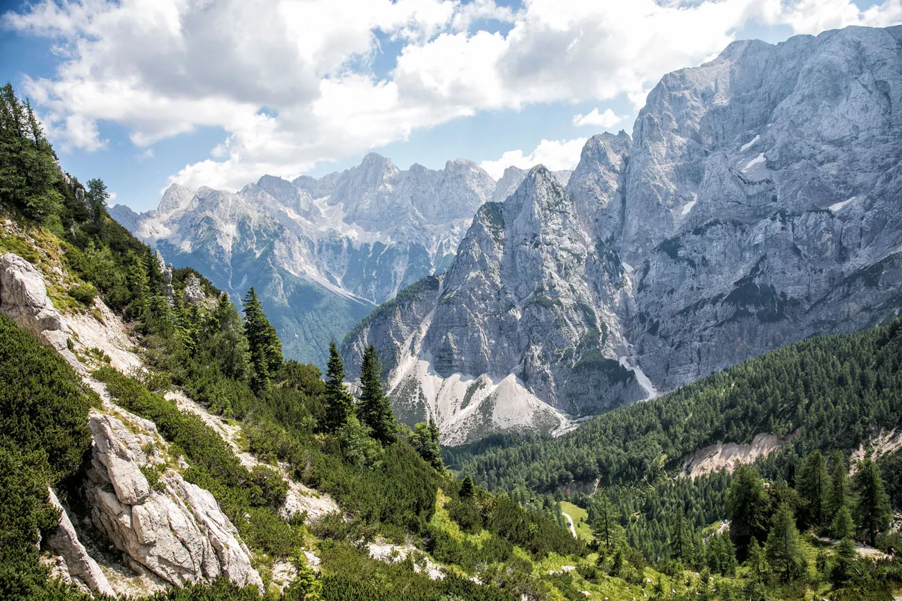
View across the Julian Alps from Vratica Saddle.
Hike to the Vratica Saddle and then back down to the Vršič Pass.
More Things to Do in the Area
The Vršič Pass is a paved road that was constructed by Russian POW’s during World War I. At 1611 meters, this is the highest mountain pass in the eastern Julian Alps. There are 50 hairpin turns along the road, 24 on the Kranjska Gora side and 26 on the Trenta side.
While you are here, there are a few more spots worth visiting.
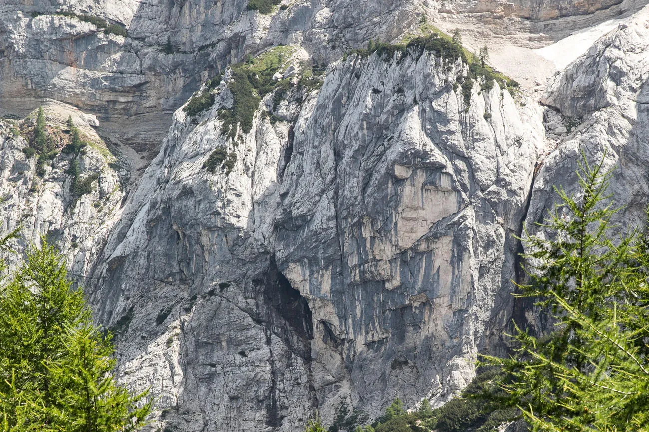
Ajdovska Deklica, aka the Face in the Stone. With a little bit of imagination, you can see a woman’s face on the side of Prisank Mountain. From the Vršič Pass, walk up the access road, go past Ticarjev dom, and continue until you see the sign marking Ajdovska Deklica. From here, you can see the face in the stone.
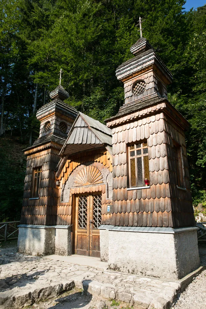
The Russian Chapel. The Russian Chapel was built in 1917 by Russian prisoners of war as a memorial to those who died while constructing the Vrsic Pass. It is located on the Kranjska Gora side of the pass.
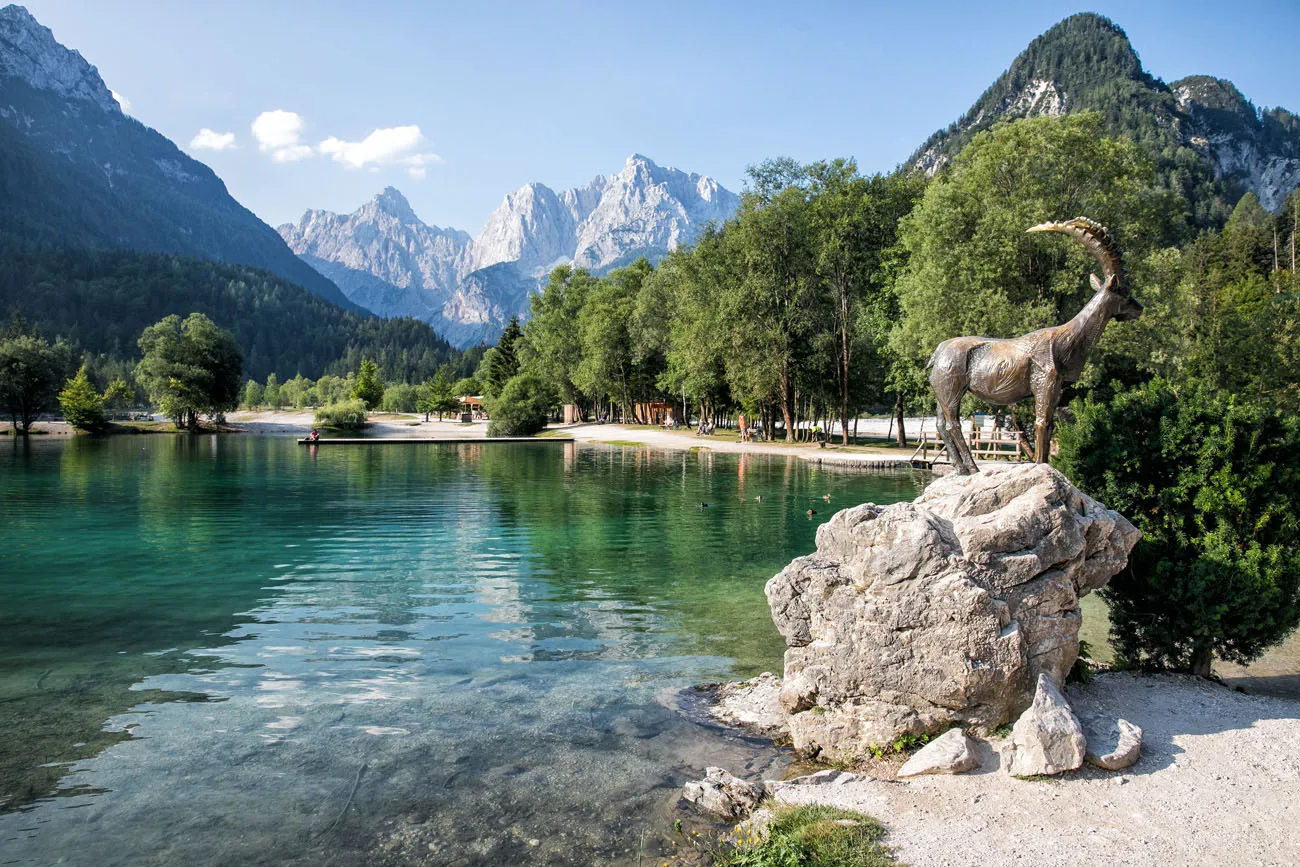
Lake Jasna. Located near Kranjska Gora, this artificial lake is a very busy spot during the hot summer months. People come here to swim and escape the summer heat. If you arrive in the morning, it is much more peaceful. Don’t miss the statue of Zlatorog, the golden-horned Ibex.
Where We Stayed
We stayed at the Apartment House Berghi in Kranjska Gora. We loved Kranjska Gora, but I can’t say that we loved our apartment at the Apartment House Berghi. We had a huge amount of space, with three bedrooms, three bathrooms, and a full kitchen. But the apartment is not soundproofed well (every night we could clearly hear our neighbors talking and moving around) and this wasn’t the cleanest place we have stayed in. But it did offer lots of space, fast wifi, and a great location. If we did it again, we would probably stay at Hotel Skipass in Kranjska Gora.
Kranjska Gora is a great place to make your home base for exploring Slovenia. This small town is filled with wonderful restaurants and is set with the backdrop of the jagged, rocky Julian Alps.
More Information about Hiking in Slovenia
To learn more about this hike, or if you want a great resource for hiking in Triglav National Park and the Julian Alps, check out Walking the Julian Alps of Slovenia by Roy Clark and Justi Carey. We referenced this book a lot for Lake Bled, Lake Bohinj, and the Julian Alps.
Does this hike look like something you would like to do? Comment below if you have any questions.
More Information about Slovenia
SLOVENIA: Discover the best of Slovenia in our Slovenia Bucket List. Plan a perfect 10 day road trip through Slovenia, visit Lake Bled and Lake Bohinj, learn about the best things to do in Ljubljana, road trip through the Soca River Valley, and spend some time in Piran.
GREAT HIKES FROM AROUND THE WORLD: For more great hikes, check out our article listing the 20 Best Day Hikes in the World. See our full list in our Hiking Guide.
EUROPE TRAVEL INSPIRATION: For more great ideas on where to go in Europe, check out our article 30 Beautiful Places to Visit in Europe. You can also get more travel ideas in our One Week in Europe itinerary guide, which has lots of sample itineraries for your next trip to Europe.
Planning a trip to Slovenia? Read all of our articles in our Slovenia Travel Guide.
Note: This post contains affiliate links. When you make a purchase using one of these affiliate links, we get paid a small commission at no extra cost to you.
All rights reserved © Earth Trekkers. Republishing this article and/or any of its contents (text, photography, etc.), in whole or in part, is strictly prohibited.
Comments 17