In some ways, the Black Canyon of the Gunnison is a smaller version of the Grand Canyon. You can visit both the North and South Rims, enjoy the views from the overlooks, and, for the ultimate adventure, hike below the rim to the Gunnison River. In this guide, learn how to visit Black Canyon of the Gunnison National Park.
Overview of Black Canyon of the Gunnison National Park
Black Canyon of the Gunnison is one of four national parks that are located in Colorado. In 2023, this park only received 360,000 visitors. Not only is it the least visited park in Colorado, it is also one of the least visited parks in the entire United States.
This national park is also small in size, putting it on the top 10 list for smallest US national parks. Black Canyon of the Gunnison’s small size and low crowd level makes this park a delight to visit. During our mid-summer visit, we had no issues finding parking at the overlooks and the park felt wonderfully quiet.
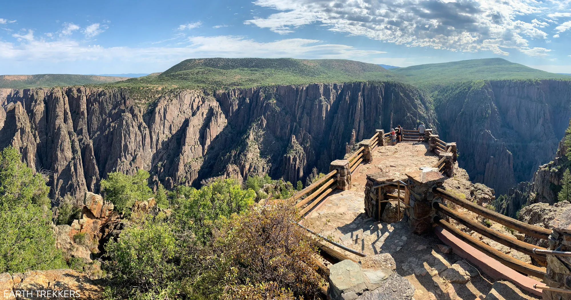
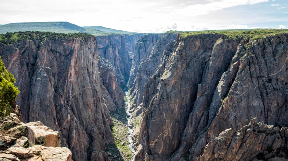
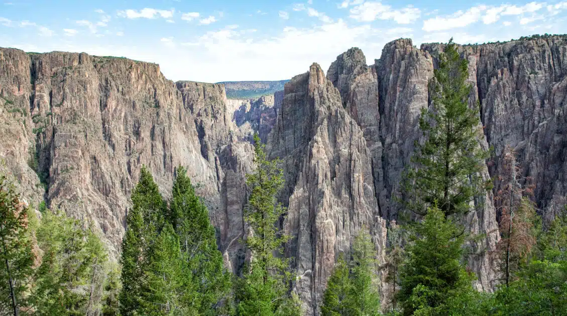
The park preserves the narrowest and deepest section of the Gunnison Gorge. It’s often described as being deep, steep and narrow. On the rim, the distance between the South Rim and the North Rim is only 1,100 feet in the narrowest section. From the rim, the walls of the canyon plunge 2,000 feet almost straight down to the Gunnison River. Down by the river, the canyon is only 40 feet at its narrowest spot.
Why is it called the Black Canyon? In some spots, the canyon is so narrow that there are sections that only get 33 minutes of sunlight per day.
Black Canyon of the Gunnison officially became a national park on October 21, 1999. The North Rim Road, which skirts along the edge of the rim to the overlooks, was built in the 1930’s by the Civilian Conservation Corps and is now listed on the US Register of Historic Places.
How to Get to the Black Canyon of the Gunnison National Park
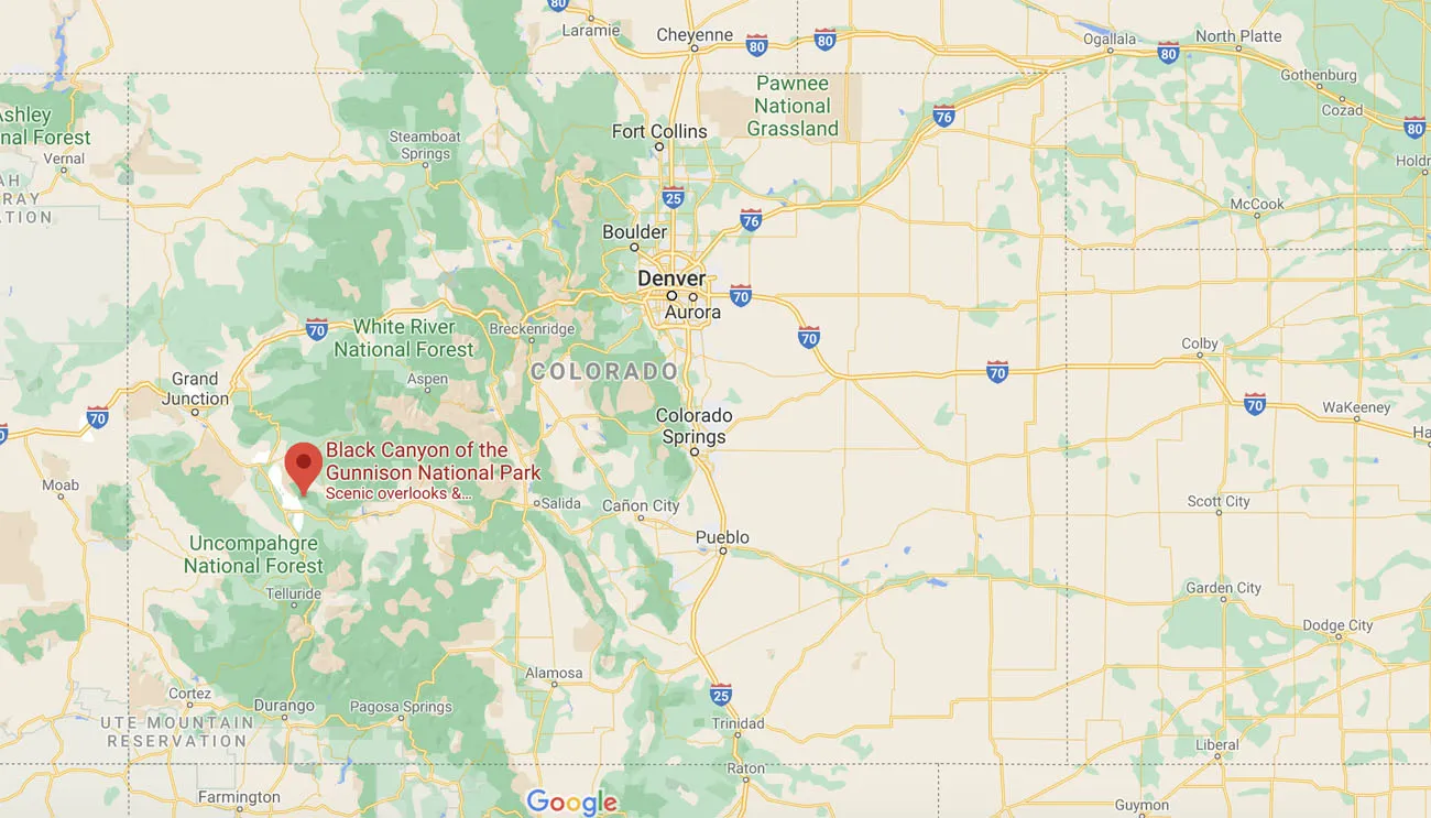
Black Canyon of the Gunnison National Park is located in the southwest quadrant of Colorado.
The closest major airport is in Grand Junction. From here, it takes just over an hour of driving to get to Montrose, the closest town to the South Rim.
Most people visit Black Canyon of the Gunnison National Park on a road trip through Colorado. If you have 10 days, you can do a loop around the state, stopping at the national parks along the way. With the multitude of scenic highways and by-ways, it is a beautiful road trip.
Driving Distances and Times from Nearby Locations:
These are the distances and times to Montrose, which is the best place to stay to visit the South Rim. The South Rim is the more popular rim to visit but I will talk about how to also visit the North Rim later in this post.
- Grand Junction: 60 miles, 1 hour
- Ouray: 36 miles, 45 minutes
- Mesa Verde National Park: 140 miles, 3 hours
- Durango: 110 miles, 2.5 hours
- Great Sand Dunes National Park and Preserve: 195 miles, 3.5 hours
- Aspen: 135 miles, 3 hours
- Denver: 300 miles, 5 hours
- Colorado Springs: 235 miles, 4.75 hours
How to Visit the South Rim of Black Canyon of the Gunnison
Most visitors spend their time on the South Rim. It’s easier to get to, it’s open all year, and there are more hotel, campsite, and restaurant options on this side of the park.
The best place to stay is Montrose. This small town has an abundance of hotels and restaurants. From Montrose, it takes 20 minutes to drive to the park entrance on the South Rim.
It takes between a half day and a full day to visit the South Rim. With a half day, you can drive South Rim Road and visit the overlooks. With more time, add in one or two short hikes and drive East Portal Road.
Best Things to Do on the South Rim
Below I list the best things to do on the South Rim. This is covered in much more detail in our Guide to the South Rim ↓
Drive South Rim Road
This road is 7 miles long and has 12 viewpoints. The scenic drive starts at Tomichi Point, just before you reach the visitor center, and ends at High Point. Some viewpoints are quick. You’ll walk just a few steps to the overlook. Other overlooks can sit a 1/3 of a mile from the road, so expect to do some walking.
Our favorite viewpoints are Gunnison Point, Pulpit Rock Overlook, Cross Fissures View, Chasm View, Painted Wall and Cedar Point Nature Trail.
We also have a detailed Guide to South Rim Road with photos from all of the overlooks.
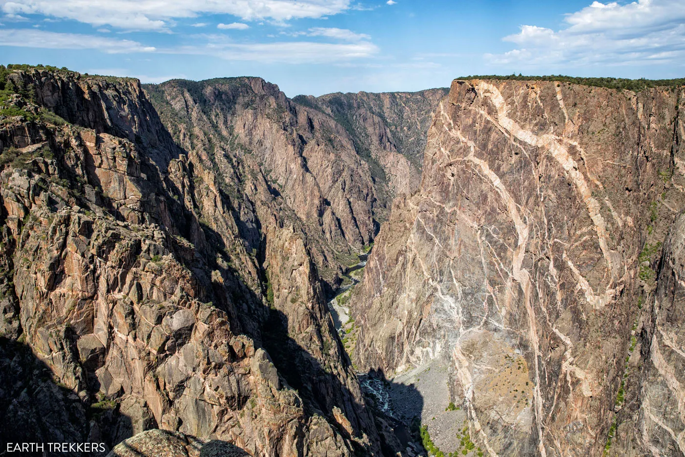
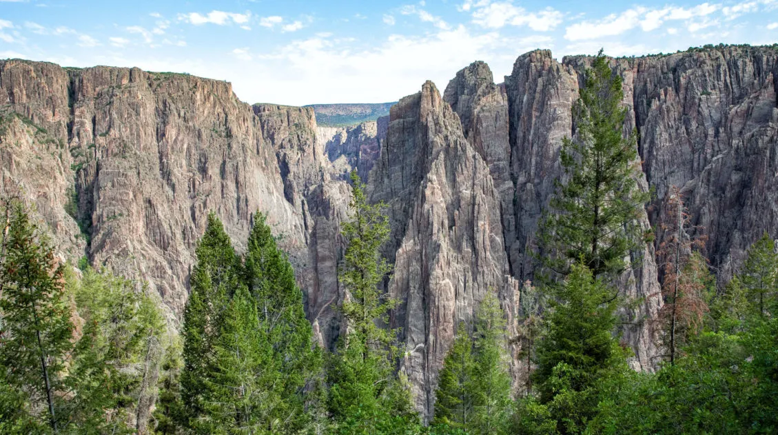
Painted Wall
Hike Along the Rim
There are several short hiking trails on the rim. These take a small amount of your time and offer better or more unique views than what you get from the overlooks.
The Warner Point Trail is 1.5 miles round trip, takes an hour, and you get to see views of the San Juan Mountain Range and Uncompahgre Valley.
The Oak Flat Loop Trail is 2 miles round-trip, takes one to two hours, and goes just below the rim, a little bit. If you want to go below the rim without doing a long, strenuous, inner canyon hike, put this trail on your to-do list.
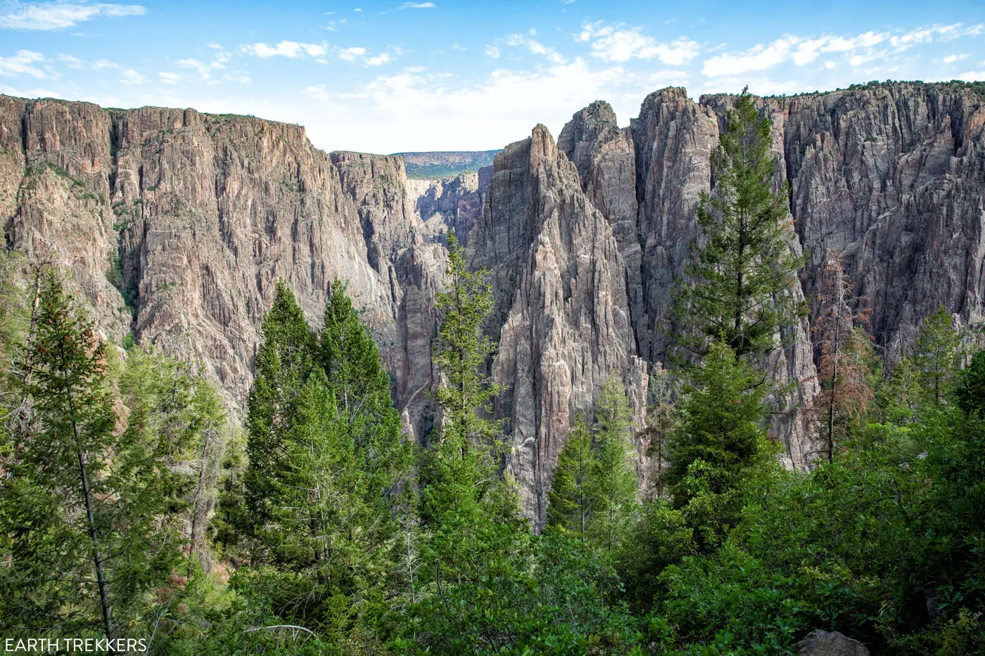
View from the Oak Flat Loop Trail
The Rim Rock Nature Trail is 1 mile round-trip and takes under an hour. It is a mostly flat trail along the rim with views looking east along the Black Canyon. Since it is a point-to-point hike, you need to have someone in your group drop you off and pick you up, or you can do this as an out-and-back hike.
If you only have the time and/or energy for one of these rim trails, I recommend the Warner Point Trail.
Hike an Inner Canyon Route
For the ultimate adventure in Black Canyon of the Gunnison National Park, hike below the rim to the Gunnison River.
On the South Rim, four trails lead from the rim to the Gunnison River. A Wilderness Use Permit is required for each of these hikes (you need to pick up your permit the day before your hike). There are no maintained trails into the inner canyon, so only those with prior hiking experience and a high level of fitness should attempt an inner canyon hike.
We hiked the Gunnison Route, which is the most popular inner canyon route on the South Rim. With a vertical drip of 1,800 feet in just over a mile, this is an extremely steep trail. We loved this hike and it was our favorite experience in Black Canyon of the Gunnison National Park.
For full details on the inner canyon routes, read our article about the best things to do on the South Rim. And if you want to learn more about the Gunnison Route, read our Guide to the Gunnison Route.
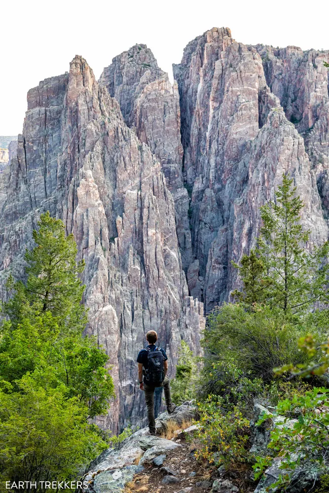
On the Gunnison Route
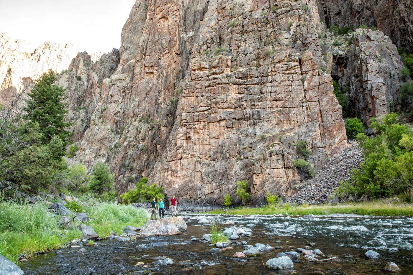
Gunnison River
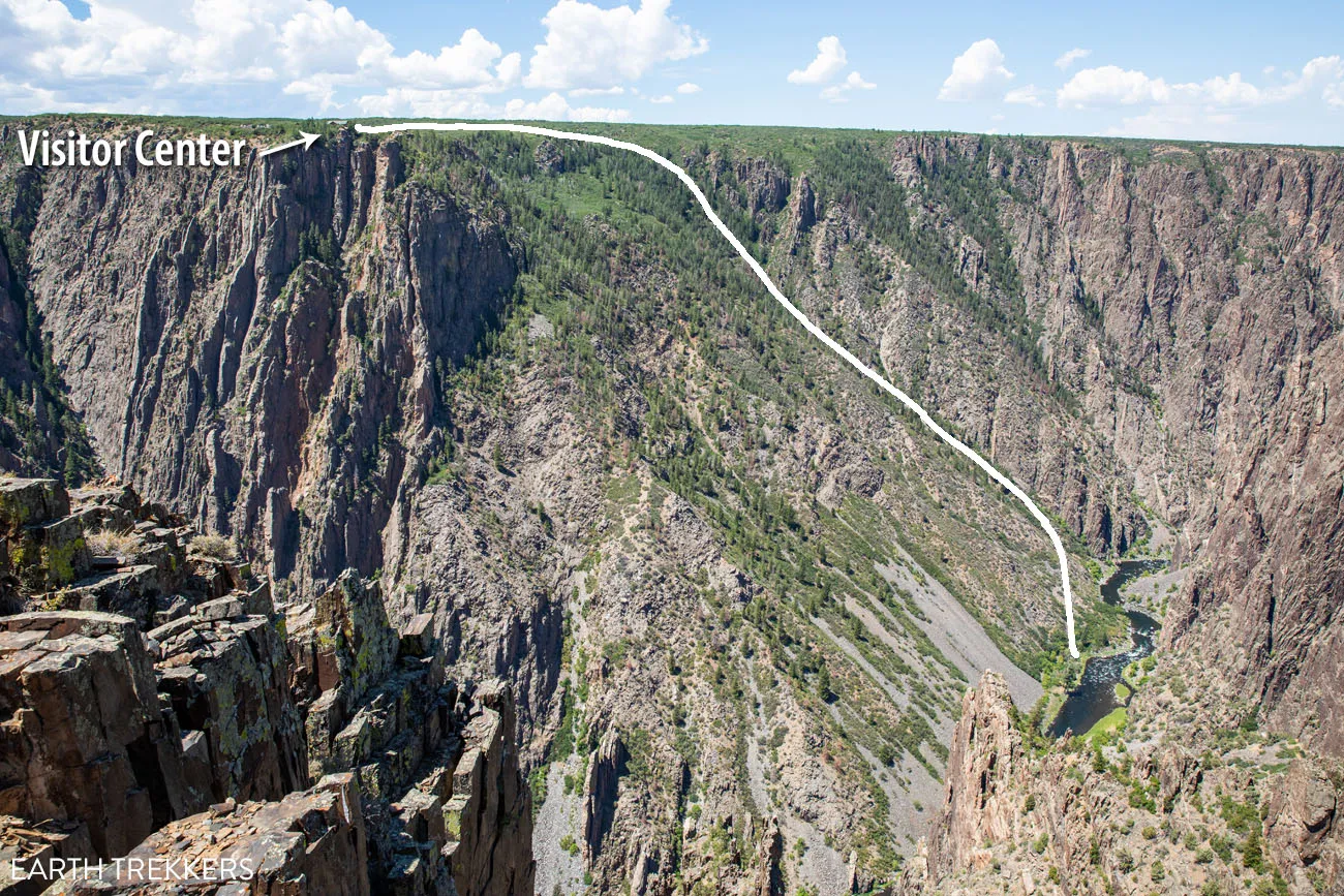
View of the Gunnison Route from the North Rim
Drive East Portal Road
If you like the idea of getting down to the Gunnison River without doing a massive, challenging hike, you can drive there. The East Portal Road is 7 miles long. It starts next to the park entrance station and ends at the Crystal Dam. With hairpin turns and 16% grades in some spots, the East Portal Road is extremely steep. Once down by the river, you can go fishing or have a picnic.
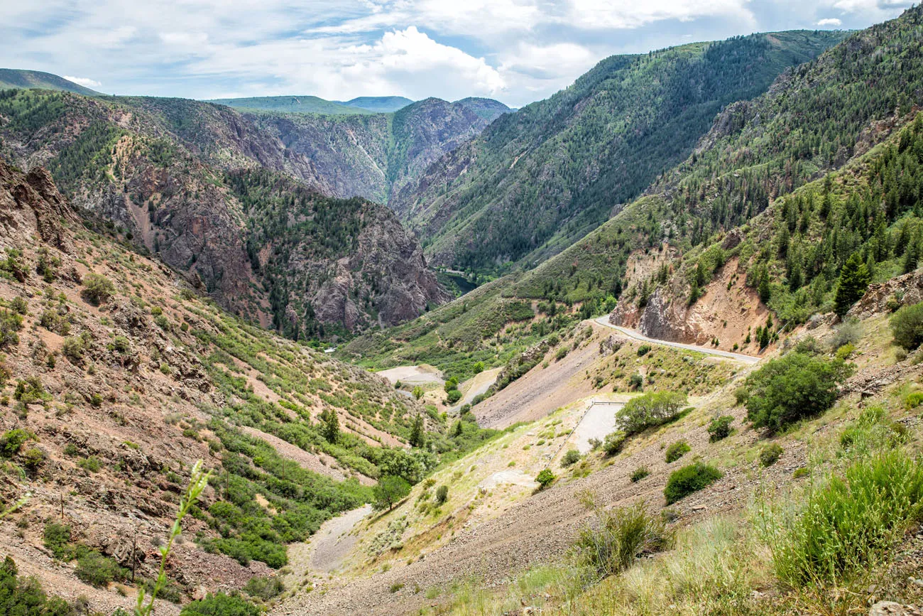
East Portal Road
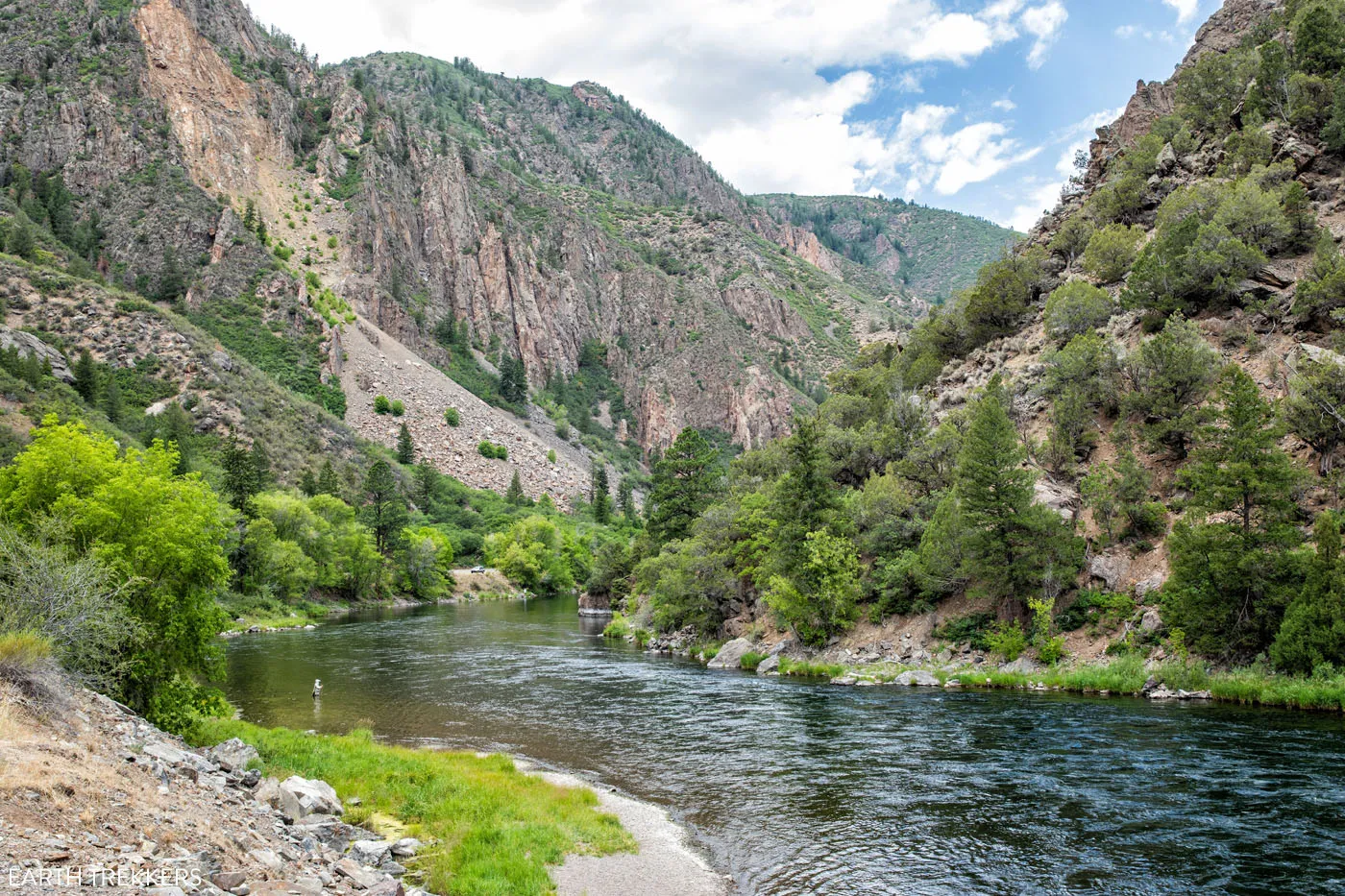
Gunnison River at the end of East Portal Road
See the Night Sky
In September 2015, Black Canyon of the Gunnison was designated as a Dark Sky Park by the International Dark-Sky Association. The best time to view the night sky is during the new moon phase or when the moon rises late in the night.
How to Visit the North Rim of Black Canyon of the Gunnison
Due to its remote location, the North Rim only gets a handful of visitors compared to the South Rim. Similar to the South Rim, you can drive the rim road, stopping at overlooks along the way. There are also several hiking trails to go deeper into the park, a handful of inner canyon experiences, and a jaw-dropping viewpoint that beats anything on the South Rim.
Even though the distance from the North Rim to the South Rim is measured in feet, it’s a relatively long drive from Montrose. There are no bridges that connect the North and South Rims. To get to the North Rim, you will loop through farms and tiny towns in Colorado.
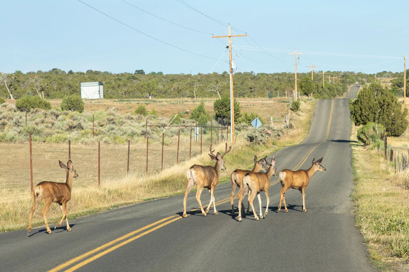
On the drive from Montrose to the North Rim
To get here from Montrose, it is a 63 mile drive that takes about an hour and a half.
Once here it takes several hours to visit the overlooks and hike one of the short trails. Unless you hike an inner canyon route or hike to the top of Green Mountain, you will only spend a few hours on the North Rim. This gives you enough time to move on to your next destination in Colorado.
Best Things to Do on the North Rim
Below I list the best things to do on the North Rim. This is covered in much more detail in our Guide to the North Rim ↓
Exclamation Point
In my opinion, this is the best viewpoint in Black Canyon of the Gunnison National Park. To get here, you will have to do some hiking.
This easy hike is 3 miles round-trip. Hike the North Vista Trail out to Exclamation Point. The view is extraordinary. From here, you have a straight shot looking down the Black Canyon of the Gunnison.
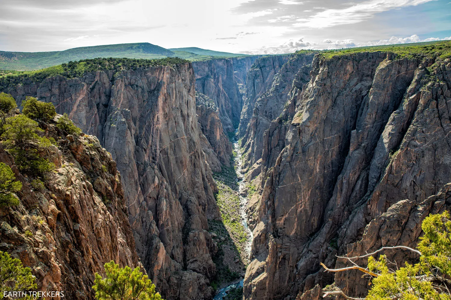
Exclamation Point
Drive North Rim Drive Road
This road is only four and a half miles long. It is an unpaved, gravel road but it is suitable for all vehicles. There are only five overlooks to visit. Unlike the overlooks on the South Rim, it is a very short walk from the parking area to each overlook, so these only takes a few minutes of your time.
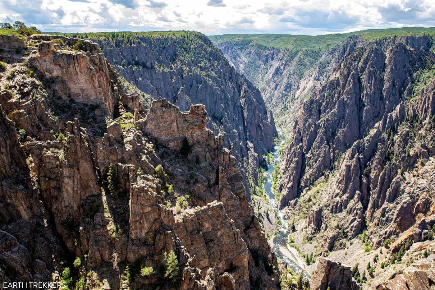
Walk the Chasm View Nature Trail
Only a third of a mile long, this easy trail loops around the North Rim Campground and offers stunning views of the Painted Wall. The Painted Wall is the tallest cliff in Colorado at 2,250 feet. If you look closely, you might be able to see people at the overlooks on the South Rim from here.
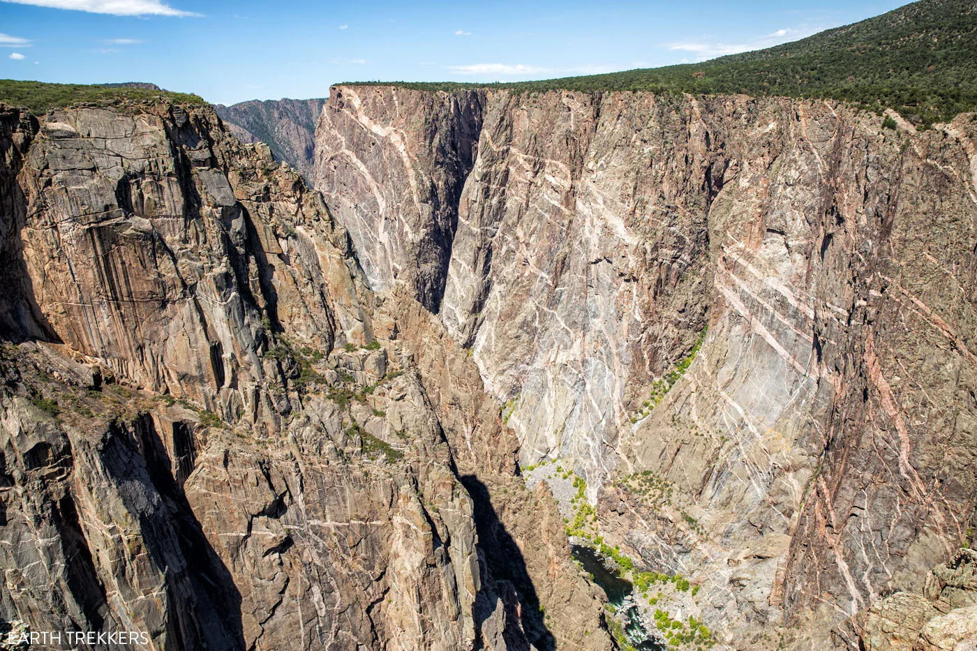
View of the Painted Wall from the Chasm View Nature Trail
Hike Green Mountain
Distance: 7 miles round-trip | Difficulty: Moderate | Total Ascent: 1,230 feet | Time: 3 to 4 hours
For panoramic views of Black Canyon of the Gunnison National Park, put this hike on your list.
This hike starts on the North Vista Trail, the same trail that leads to Exclamation Point. Once you get to Exclamation Point, the trail climbs up Green Mountain. It’s nothing too strenuous but the high elevation here can make you feel winded. This hike starts at an elevation of almost 8,000 feet. Once you reach the peak of Green Mountain, you’ll be standing at 8,546 feet with sweeping views over Colorado.
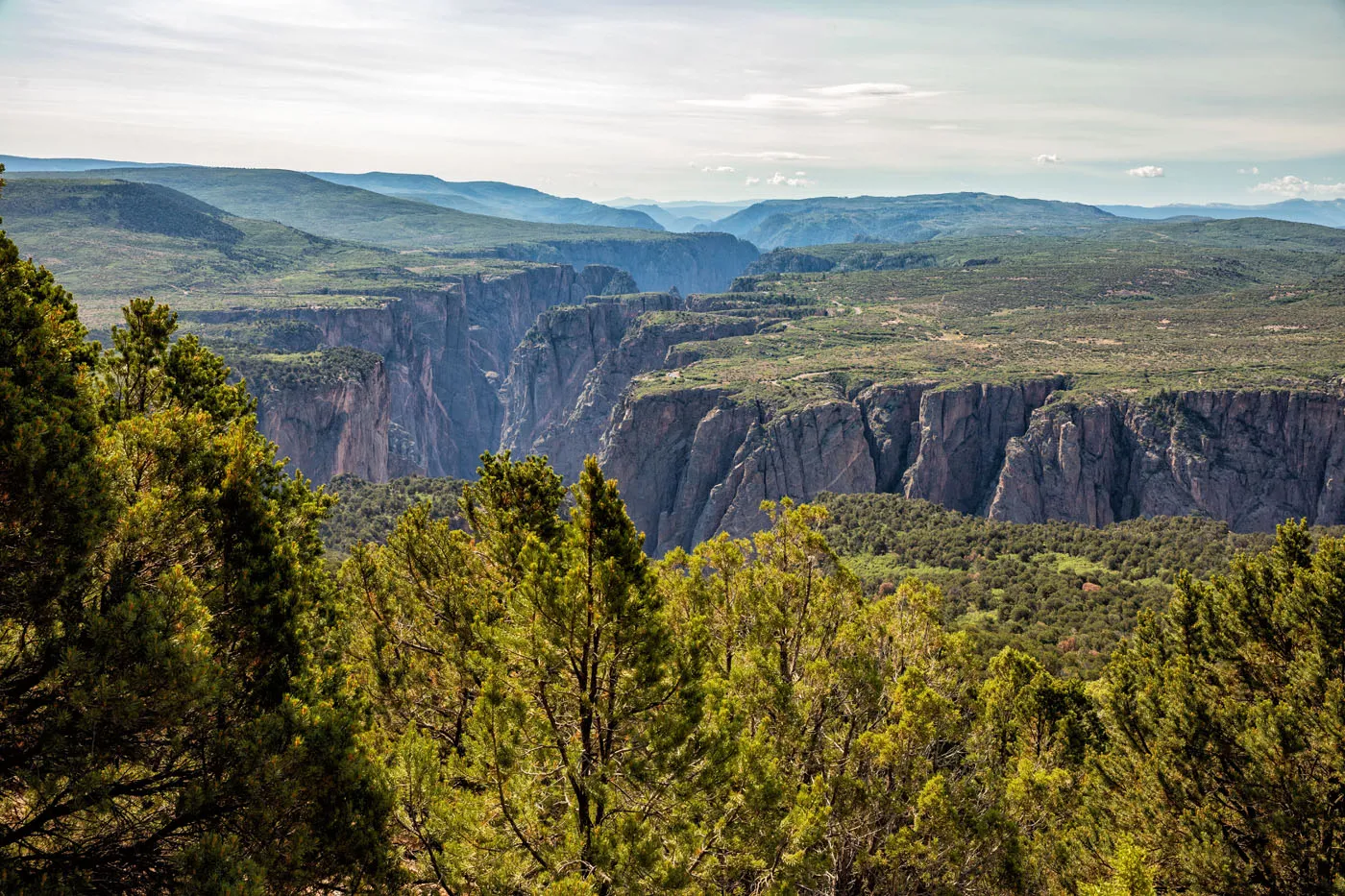
View from Green Mountain
Explore the Inner Canyon
There are three routes on the North Rim that enter the inner canyon. All of these require wilderness use permits which can be obtained at the Ranger Station on the North Rim. Excellent physical fitness and prior hiking experience are necessary to do these hikes. These hiking trails are infamous for the abundant poison ivy growing along the trail which can be 5 feet high in some spots.
The three routes are S.O.B. Draw, Long Draw, and Slide Draw.
How Many Days Do You Need in Black Canyon of the Gunnison National Park?
If you want to visit both the North and South Rims, you will need two days.
On the quickest of visits, you can visit the South Rim in about 4 to 5 hours, simply by driving South Rim Road.
With one full day, you have enough time to add in the drive on East Portal Road and hike on or two of the short trails on the rim.
If you want to hike an inner canyon route on the South Rim, you will need about two days. On day 1, attend the ranger talk and get your wilderness use permit. On day 2, hike the inner canyon route. For those who plan to camp next to the Gunnison River (which you can do with a backcountry permit to hike the inner canyon), you will need a total of three days.
Sample Itineraries for Black Canyon of the Gunnison National Park
One Day in Black Canyon of the Gunnison: South Rim
- Morning and midday: Drive South Rim Road and visit the Overlooks; hike one of the short trails on the rim
- Early afternoon: Drive East Portal Road to the Gunnison River
- Late afternoon: Return to Montrose or continue your Colorado road trip
Two Days in Black Canyon of the Gunnison
- Day 1: Follow the one day itinerary above
- Day 2: In the morning, drive to the North Rim (1.5 hours); hike to Exclamation Point and maybe continue up Green Mountain; visit the North Rim overlooks (this takes roughly 2 to 3 hours); continue to your next destination
Two Days with an Inner Canyon Route on the South Rim
- Day 1: Drive South Rim Road and visit the Overlooks; hike one of the short trails on the rim; in the afternoon, attend the ranger talk and get your wilderness use permit
- Day 2: Inner canyon hike
Two Days with an Inner Canyon Route on the North Rim
- Day 1: Visit the South Rim
- Day 2: Drive to the North Rim; get your wilderness use permit (no ranger talk necessary on the North Rim) and hike the inner canyon route; end your day by visiting the North Rim viewpoints
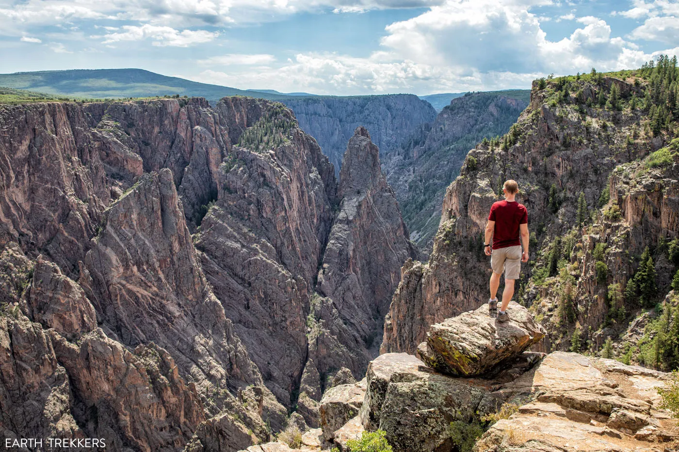
Cross Fissures View
Is Black Canyon of the Gunnison National Park Worth It?
Yes!! We loved this park. The South Rim is quick and easy to visit. The views are spectacular from both rims, especially Exclamation Point on the North Rim. To stand on top of the rim and gaze down into this long, jagged canyon is awesome. And to do this midday in the mid-summer with low crowds makes it even better.
If you are looking for an adventure, definitely consider doing one of the inner canyon hikes. It’s a very unique experience that you don’t get in the other national parks.
Best Time to Visit Black Canyon of the Gunnison
The best time to visit the South Rim is from April through early-November, when South Rim Road is open. May, September and October and great months to plan your visit, with pleasant weather and low crowds. During the summer months, expect warmer conditions. Average summer temperatures linger around the low 80’s (Fahrenheit) but it can occasionally hit the low to mid-90’s.
South Rim Road closes to cars in mid-November once the snow begins to fall. However, it remains open for cross-country skiing and snow shoeing.
The North Rim is closed during the winter months, from late November to mid-April.
If you want to visit both the North and South Rims, plan your visit from May through October.
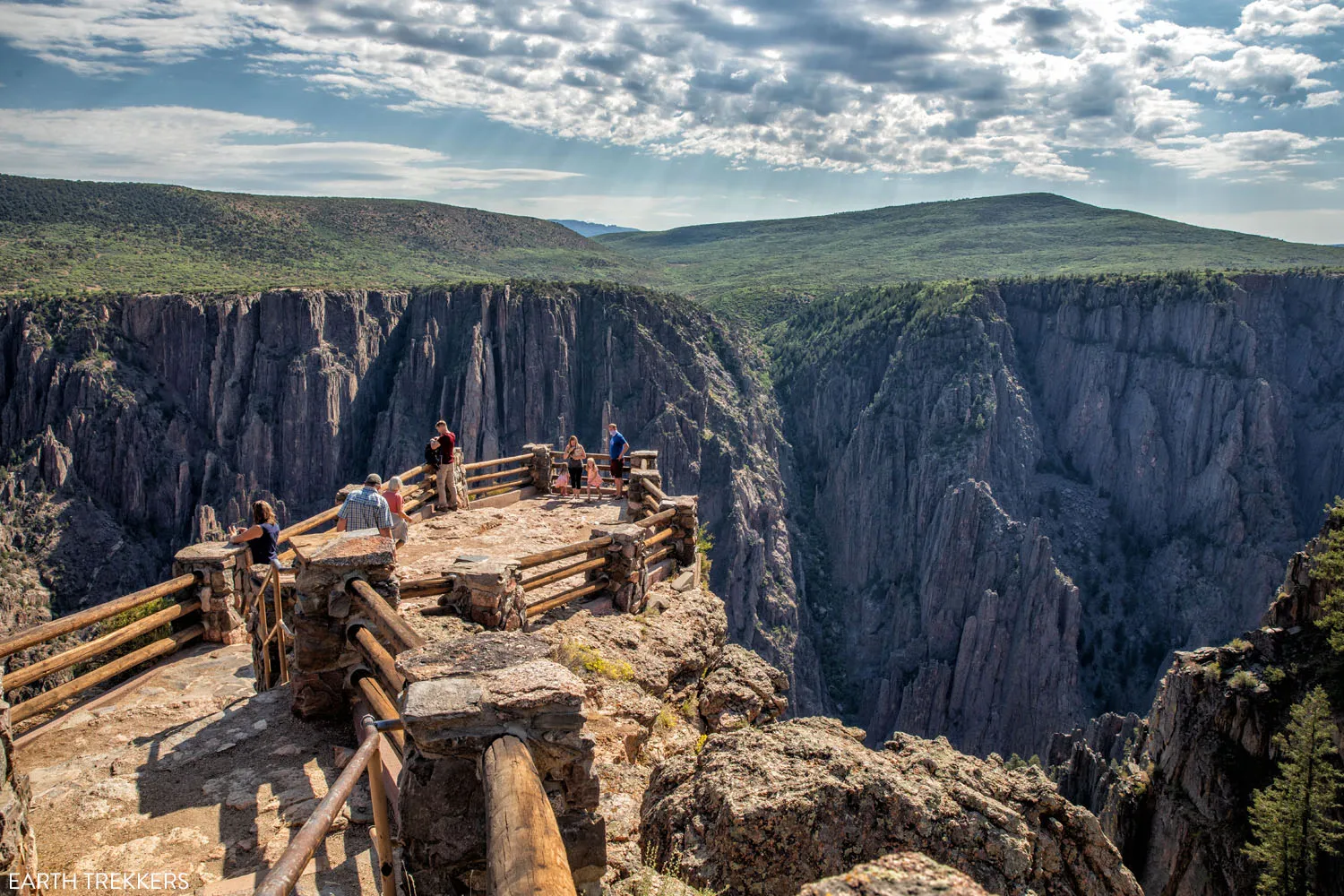
Gunnison Point
Where to Stay & Eat
The only lodging inside of the park are the South Rim Campground and the North Rim Campground. There are some sites that can accommodate RVs up to 55 feet in length. Learn more on the national park service website.
Montrose
Montrose is the closest town to the South Rim. The Double G Ranch & Guestlodge is the highest rated property in town. We stayed at the Holiday Inn Express and had a good experience. They offer suites so this is a hotel to consider if you are traveling as a family.
As far as where to eat, we had such a great meal at Camp Robber that we ate here twice. We also highly recommend The Stone House.
Practical Information
Park Entrance Fee: $30 per vehicle, valid for 7 days
The South Rim of Black Canyon of the Gunnison is open 365 days a year. South Rim Road is typically open from early April through mid-November. The remainder of the year it is closed to vehicles but you can go snowshoeing or cross-country skiing.
The North Rim is closed to vehicles in the winter. You can get updates about road conditions on the National Park Service website.
Get updates on park conditions on the National Park Service website.
Please practice the seven principles of Leave No Trace: plan ahead, stay on the trail, pack out what you bring to the hiking trail, leave areas as you found them, minimize campfire impacts, be considerate of other hikers, and do not approach or feed wildlife.
If you have any questions about how to visit Black Canyon of the Gunnison National Park, let us know in the comment section below.
More Information about Colorado
Comments 10