The Silver Falls Loop Trail is a wonderful short hike in Mount Rainier National Park. What it lacks in views of Mount Rainier it makes up for in its easy walkability and breathtaking views of Silver Falls.
This short, easy trail is perfect for all ages and ability levels. Less than 4 miles in length, with just a small amount of elevation gain, it’s a great hike for families and people of all ages.
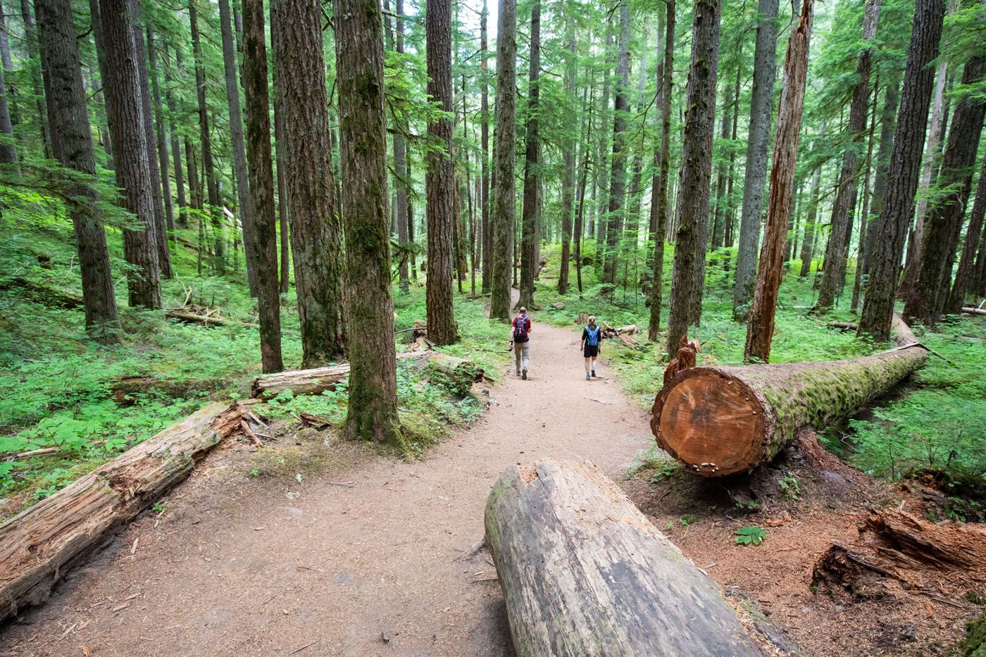
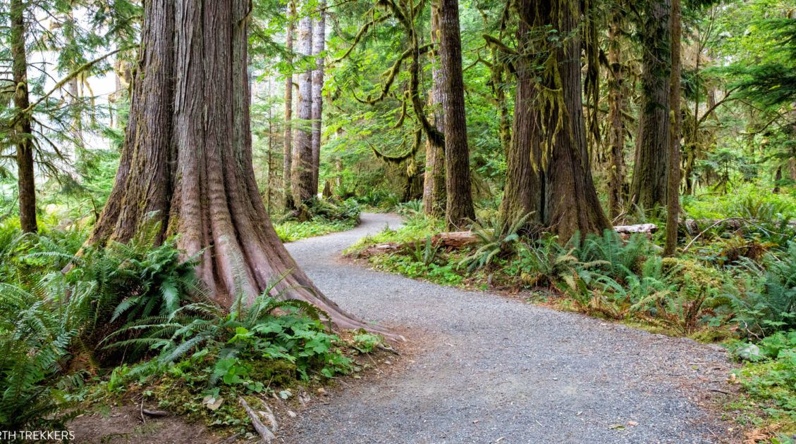
This hike beat all of our expectations. For the entire hike, you are in an old growth forest. The trail weaves between the old, giant trees but the highlight is the view of Silver Falls. From various overlooks and bridges, you are treated to views of the waterfall and the moss-covered rocks along the rivers edge.
If you are in Mount Rainier on a cloudy or rainy day, this is a great hike to put on your list.
Here’s how to do it.
In 2025, due to a construction project in the Ohanapecosh Campground, a portion of this trail is closed. Learn more on the National Park Service website.
Silver Falls Loop Hiking Stats
Distance: 3.4 miles
Difficulty: Easy
Total Ascent: 672 feet
Length of Time: 1.5 to 3 hours
When to Go: The best time to do this hike is from May to September, when the trail is free of snow.
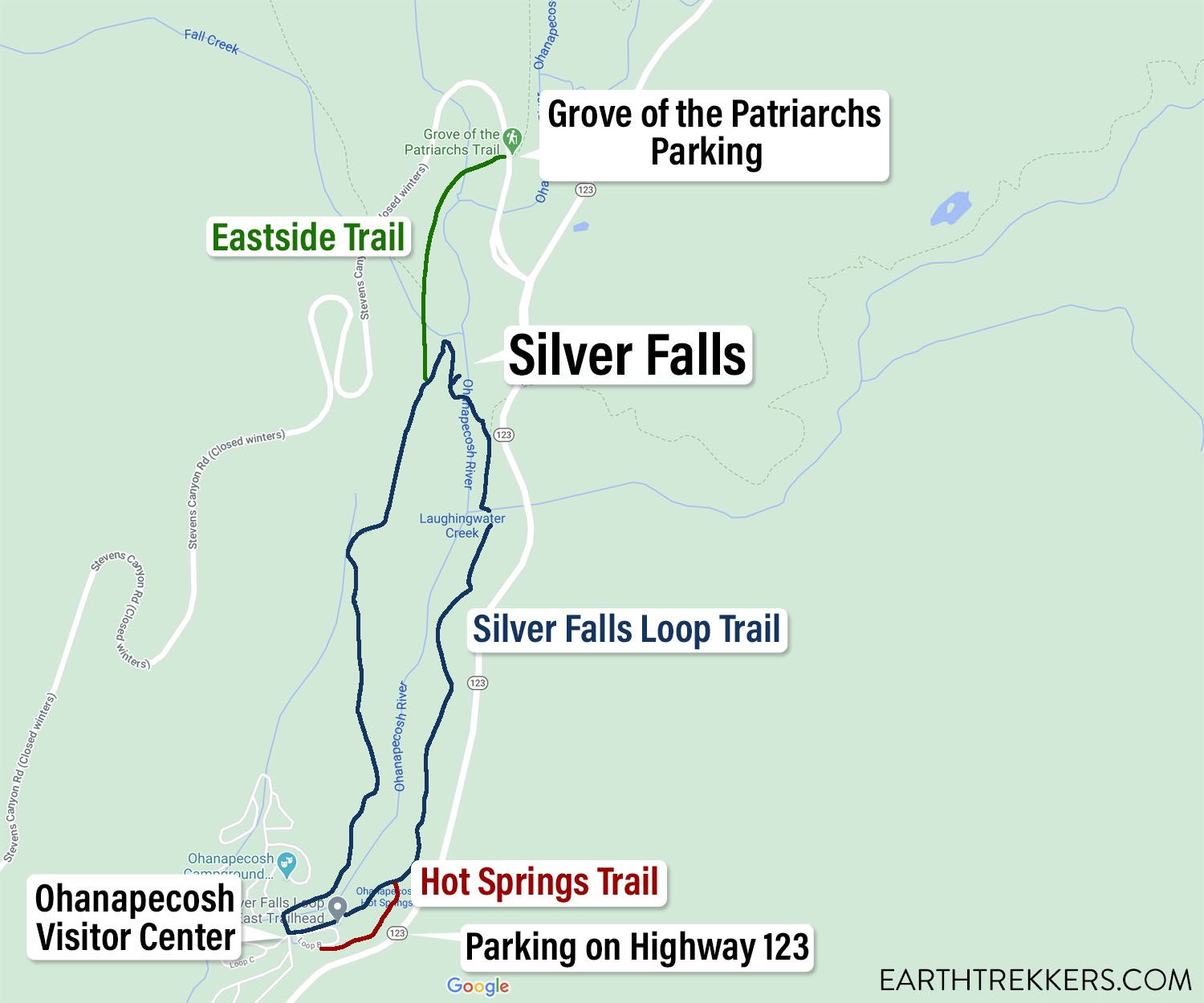
Please practice the seven principles of Leave No Trace: plan ahead, stay on the trail, pack out what you bring to the hiking trail, leave areas as you found them, minimize campfire impacts, be considerate of other hikers, and do not approach or feed wildlife.
Silver Falls Loop Hike
Step-By-Step Trail Guide
Getting to the Trailhead
Since this hike is a loop, there are several places that you can start the hike.
The most popular starting point is at Ohanapecosh Visitor Center. There is a day-use parking lot here (Loop B) that sits right next to the trail. This is the best place to start the hike, since it is located right along the trail and there are restrooms nearby. However, it can be difficult to get a parking spot midday.
The second place to start this hike is near the Grove of the Patriarchs Trail. This parking lot is also small and usually filled to capacity midday. But it you have plans to also visit the Grove of the Patriarchs, you can knock out both of these experiences from the same parking lot (unfortunately, the Grove of Patriarchs Trail is currently closed due to flood damage). To get on the Silver Falls Trail, cross Stevens Canyon Road and look for the trail heading into the forest (the Eastside Trail). You will walk .5 miles (one-way) to get onto the Silver Falls Loop.
The third place to park is on Highway 123. There is a small turnout along the side of the road. From here, you can take a short spur trail to the Hot Springs Trail. This short walk only adds about a tenth of a mile one-way onto the hike. The GPS coordinates for this turnout are 46°44’10.6″N 121°33’47.0″W and on Google Maps this spot is labeled as “Ohanapecosh Hot Springs.”
We parked on Highway 123, since this was the only place we could get a parking spot. Once on the trail, we hiked the Silver Falls Loop in a clockwise direction.
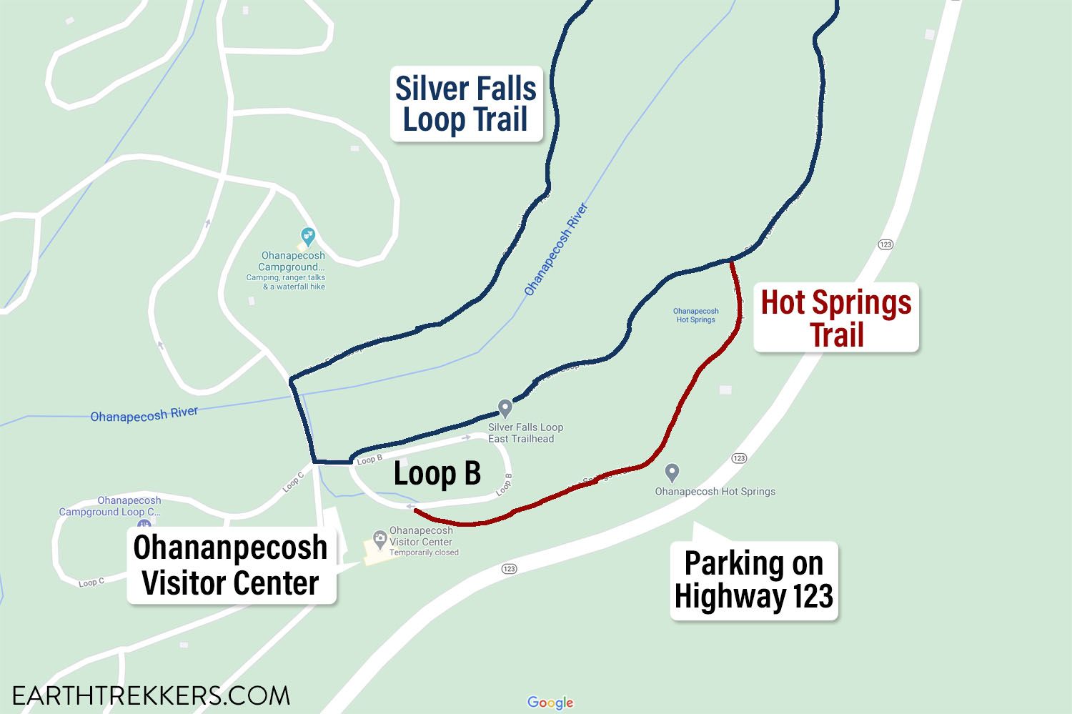
A close up view of the Ohanapecosh Visitor Center, with Loop B, the Hot Springs Trail, and the parking location on Highway 123.
On the Trail
This trail description starts and ends at the Ohanapecosh Visitor Center.
Starting at Loop B, head back out to the main road that runs through the campground. Cross the bridge over the Ohanapecosh River and turn right onto the Silver Falls Loop Trail.
This trail meanders through the forest until you get to the Silver Falls. It will be an uphill walk for the first half of the hike, until you get to the falls, but in general, it is not too strenuous.
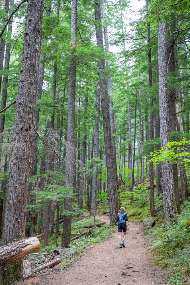
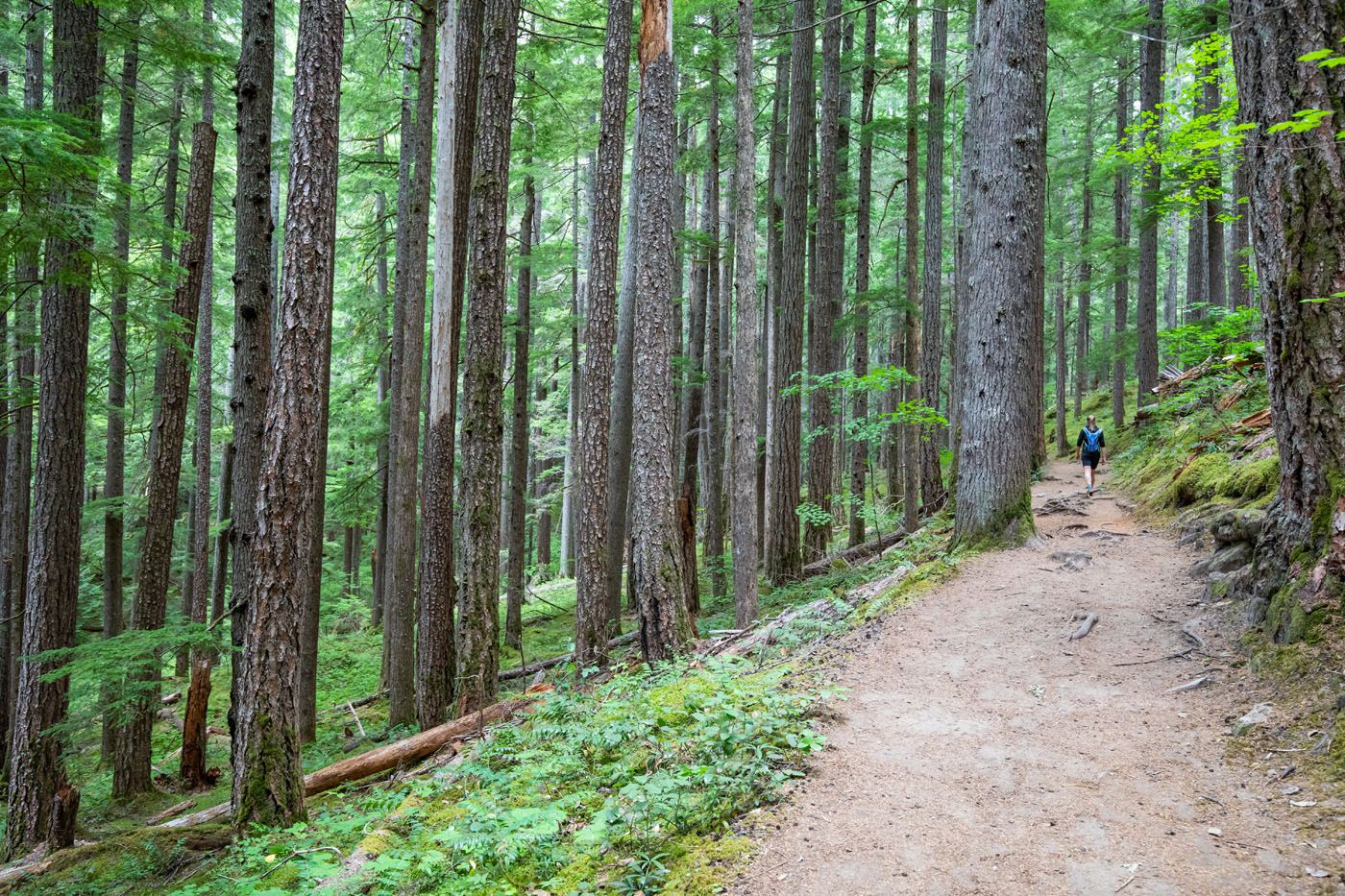
Along the trail, there will be short trails that lead out to the Ohanapecosh River. The views are amazing!
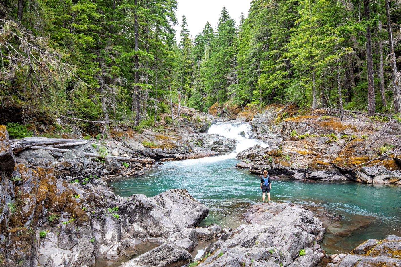
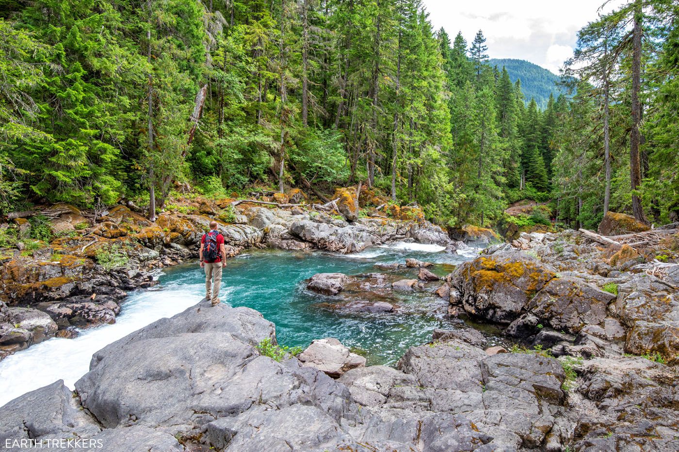
Just before you arrive at Silver Falls, the trail will fork. Stay to the right to continue to the waterfall. If you take the trail to the left, you will be on the Eastside Trail and heading towards Stevens Canyon Road.
Once you get near Silver Falls, there are short trails that lead out to overlooks along the river. Some of these overlooks require hiking out onto damp, slimy, slippery rocks, so if you are traveling with kids, I’d keep them on the trail. But you can get some very nice views of the waterfall if you are willing to step out onto these rocks. Just be careful. They are slippery so don’t get near the edge.
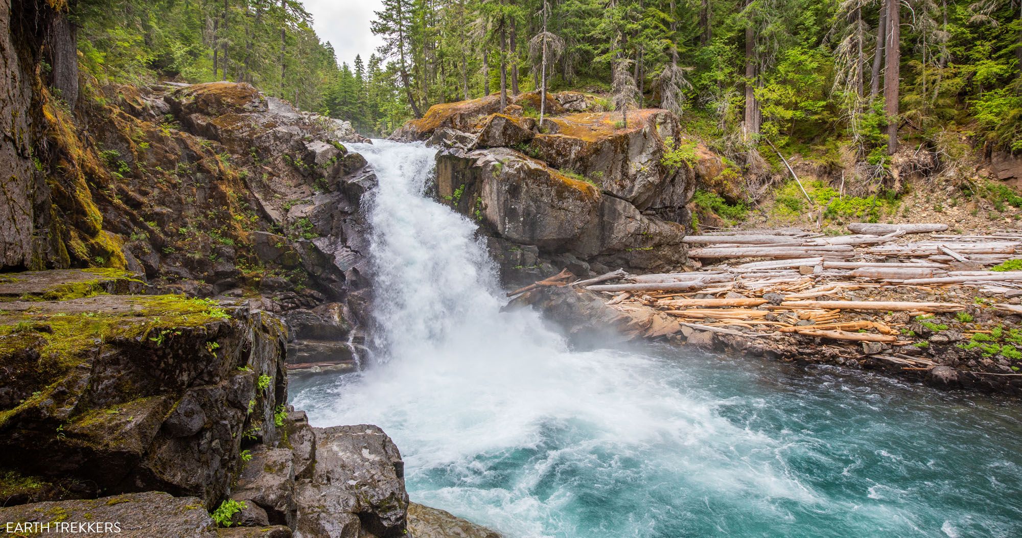
Here are the views of Silver Falls.
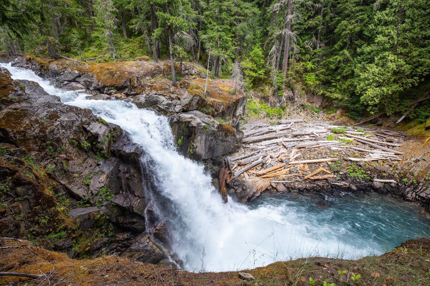
View of Silver Falls from the first overlook.
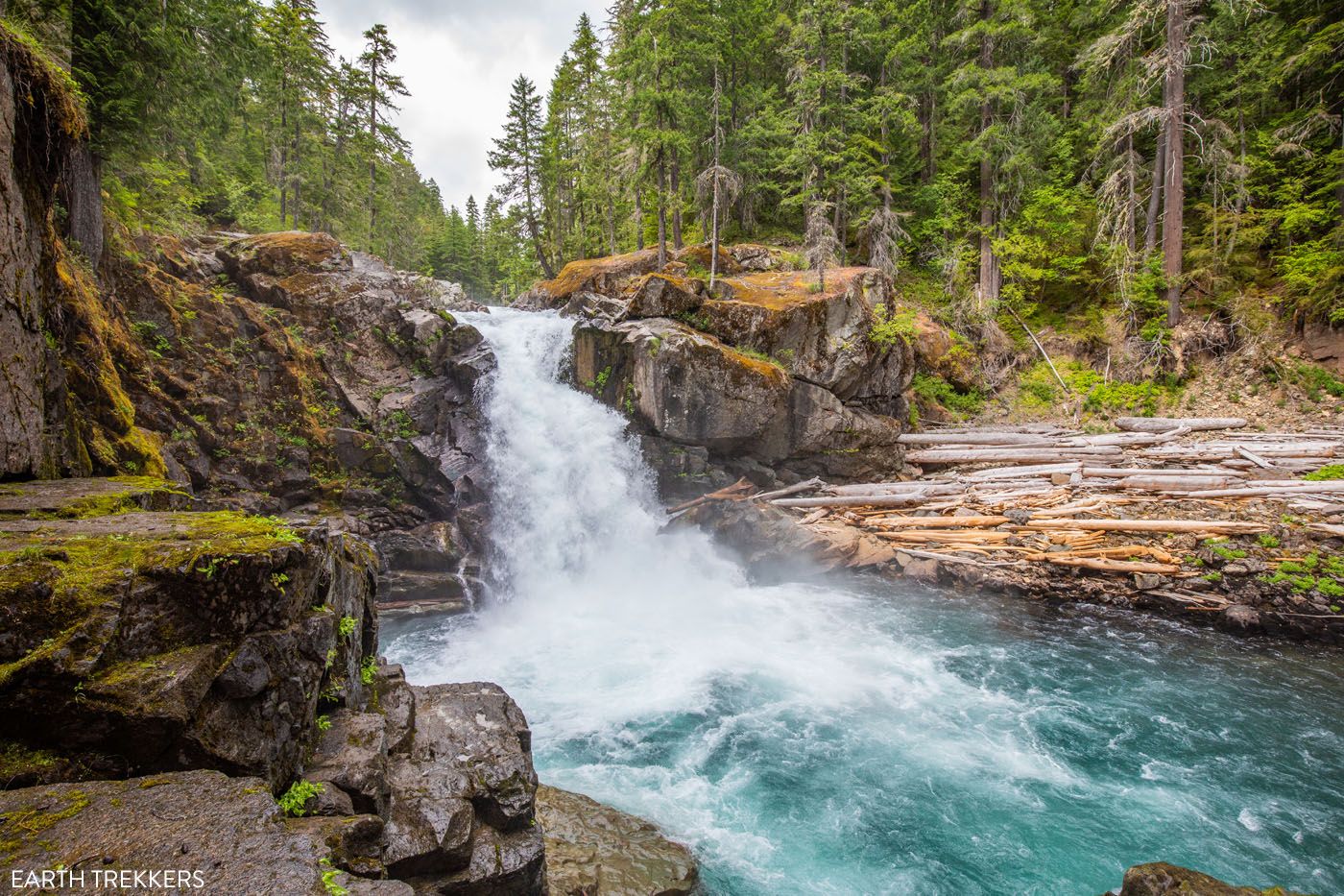
The view of Silver Falls from the rocks near the river’s edge.
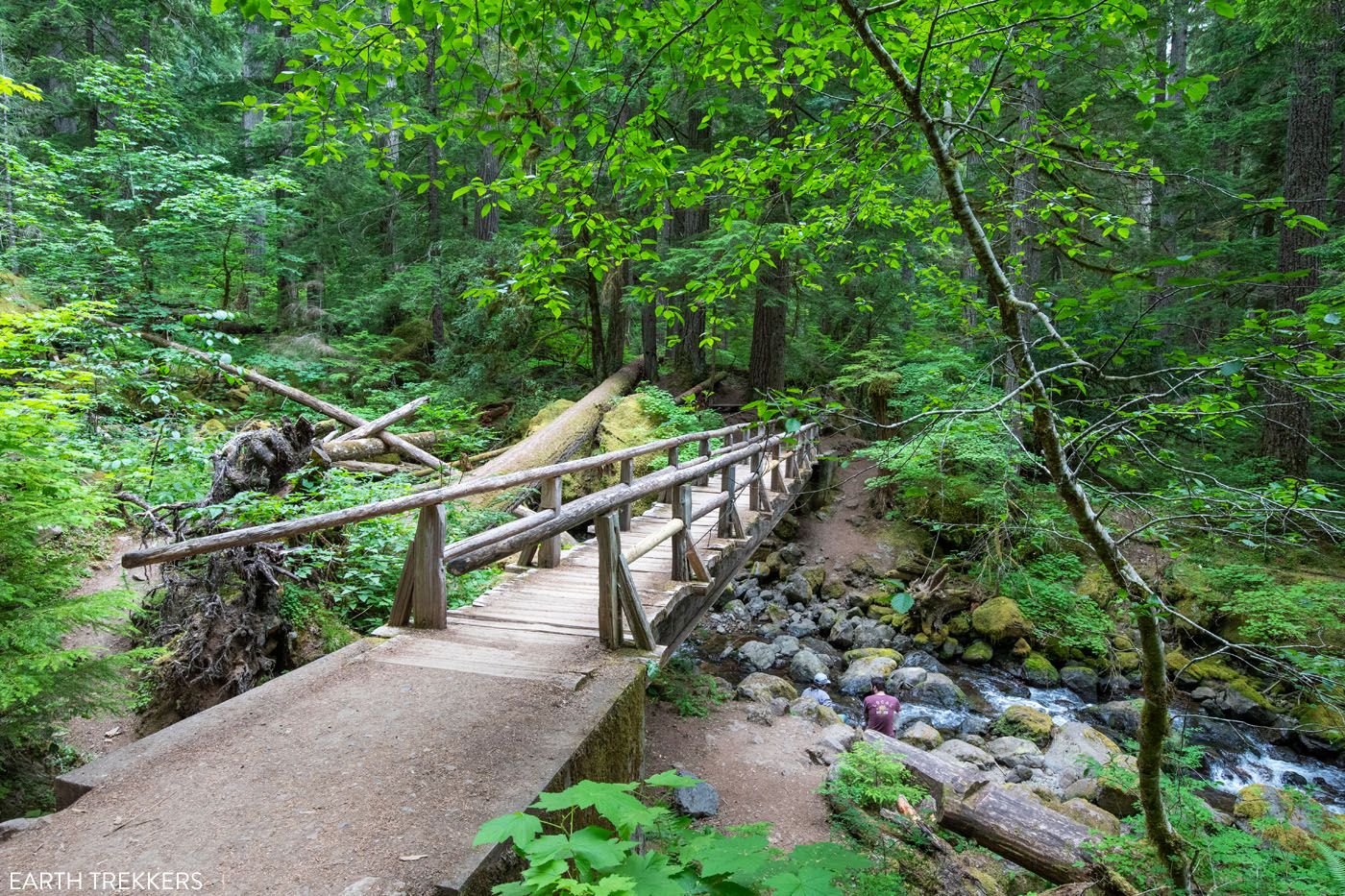
The view of the waterfall is great but our favorite view was of the wooden bridge over the gorge, with the moss-covered rocks and aquamarine river.
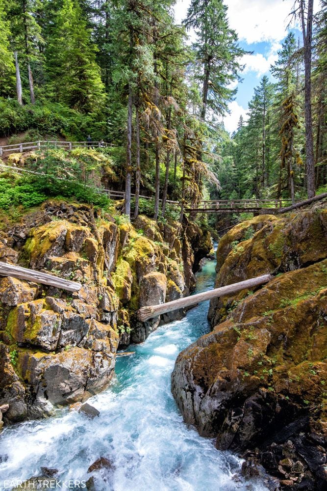
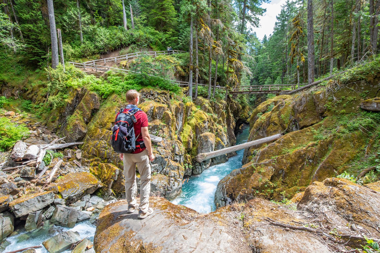
Cross the bridge to the opposite side of Ohanapecosh River and you will get to see more great views of Silver Falls.
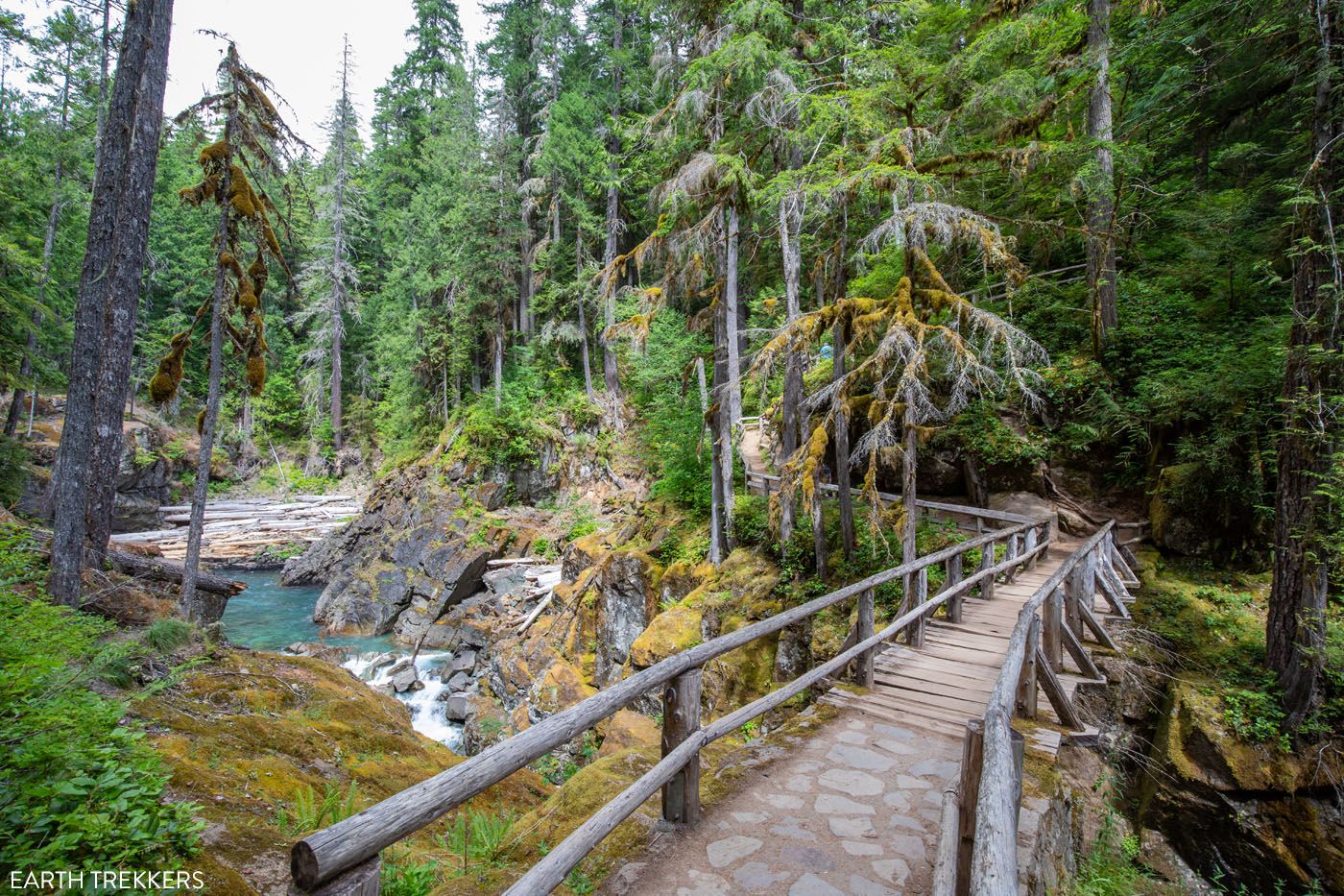
The bridge crossing the Ohanapecosh River.
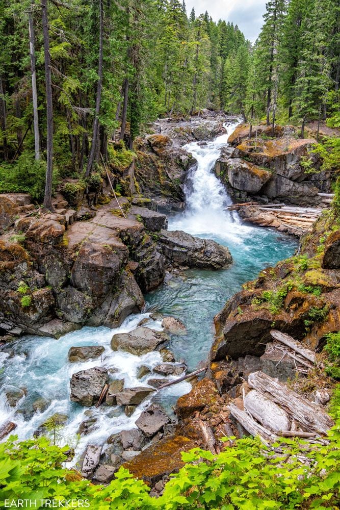
Silver Falls
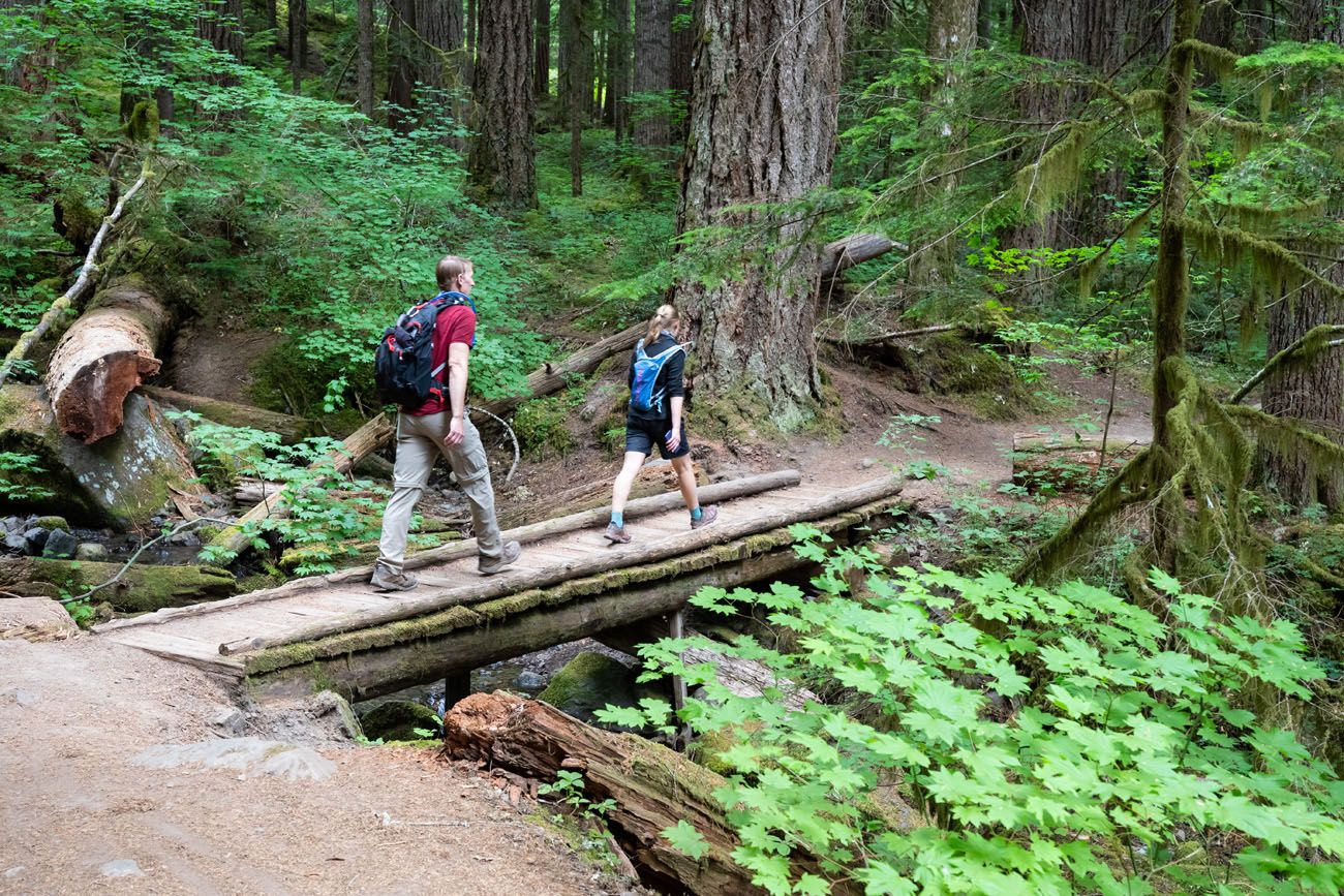
To complete the loop, it’s another 2 miles of walking through the forest. Now, it is mostly a downhill walk. You will cross several more wooden bridges with views of the forest and rushing creeks along the way.
NOTE: If you start at the parking lot for Grove of the Patriarchs, the Eastside Trail joins the Silver Falls Loop Trail very close to Silver Falls. If you are short on time, you can hike directly to the waterfall, visit the viewpoints, and hike back to your car, without doing the entire loop. Honestly, you don’t miss much by not hiking the loop, since most of the time you are in the forest. But it is a lovely walk and we really liked this hike, much more than we expected.
Tips to Have the Best Experience
Get updates about trail conditions and road closures as you plan your trip and just before your visit on the National Park Service website.
This is a good hike to do on a day with less-than-perfect weather. If you have a cloudy or rainy day in Mt. Rainier, we recommend doing this hike, and saving your crystal-clear days for the Skyline Loop or a visit to Sunrise.
For this hike, a good pair of walking shoes is sufficient. Since this trail is flat and well-graded, there is no need for hiking shoes.
Leave No Trace. When you are in the park, practice the seven principles of Leave No Trace. This includes packing out what you bring into the park, be considerate of other hikers, stay on the trail, and do not remove anything from the park.
If you are new to hiking or are curious about what you should bring on a hike, check out our Hiking Gear Guide. Find out what we carry in our day packs and what we wear on the trails.
If you have any questions about hiking the Silver Falls Loop Trail, let us know in the comment section below.
More Information for Your Trip to Washington
If this is part of a bigger road trip through the USA, visit our United States Travel Guide and our Washington Travel Guide for more inspiration and travel planning tips.


Comments 4