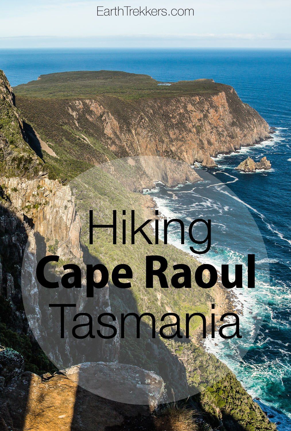
There are many famous viewpoints on the Tasman Peninsula…the Tassellated Pavement, the Tasman Arch, and Remarkable Cave, but none of them compare to Cape Raoul.
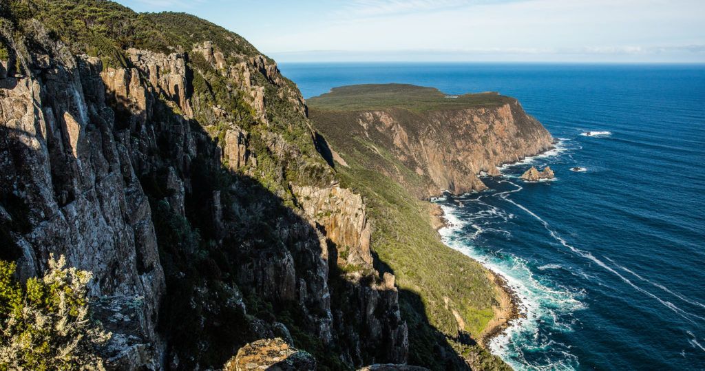
On the southern end of the Tasman Peninsula is a promontory called Cape Raoul. This can only be reached by hiking, as no roads go here. It is a 14 km round trip hike, most of it through forests but some of it along the coastal cliffs. Once out on Cape Raoul, enjoy the views of Cape Pillar and then west to Hobart and Bruny Island. This is a gorgeous hike and another great way to experience the Tasman Peninsula coastline.
Cape Raoul Hiking Stats
Distance: 14 km (8.7 miles) out-and-back
Difficulty: Moderate. This hike would be suitable for most people of average fitness levels. Some of the trail is located along the edge of the cliffs, so keep an eye on children.
Allow five hours for this hike.
Getting here: This hike is located on the Tasman Peninsula, a two hour drive from Hobart. The trailhead starts at Stormlea. Here are the coordinates for the trailhead and car park: -43.195411, 147.777166
Our Experience
We did this hike in May. During our week in Tasmania, most of the days were overcast and rainy. We saved this hike for the one brilliantly sunny day of the week.
From the trailhead, it is an almost totally uphill walk through a forest to the first viewpoint. It takes about half an hour to reach the first viewpoint. And that first view of the coastline is jaw-dropping! This is probably one of the best views of the entire hike.
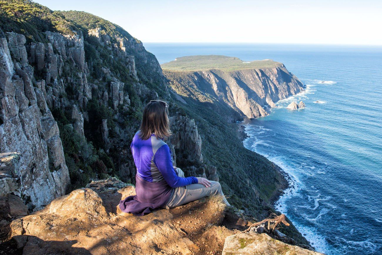
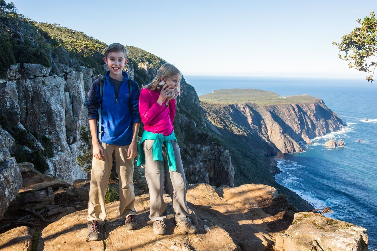
From this spot, is a mostly downhill hike out to Cape Raoul. The trail first takes you through a dense, dimly lit forest. Then you emerge back out onto the coastline for more amazing views.
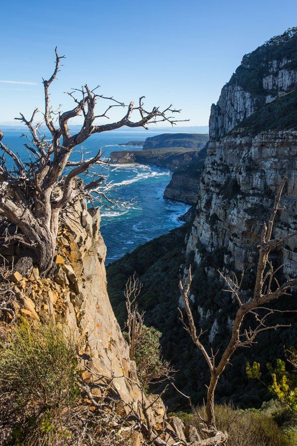
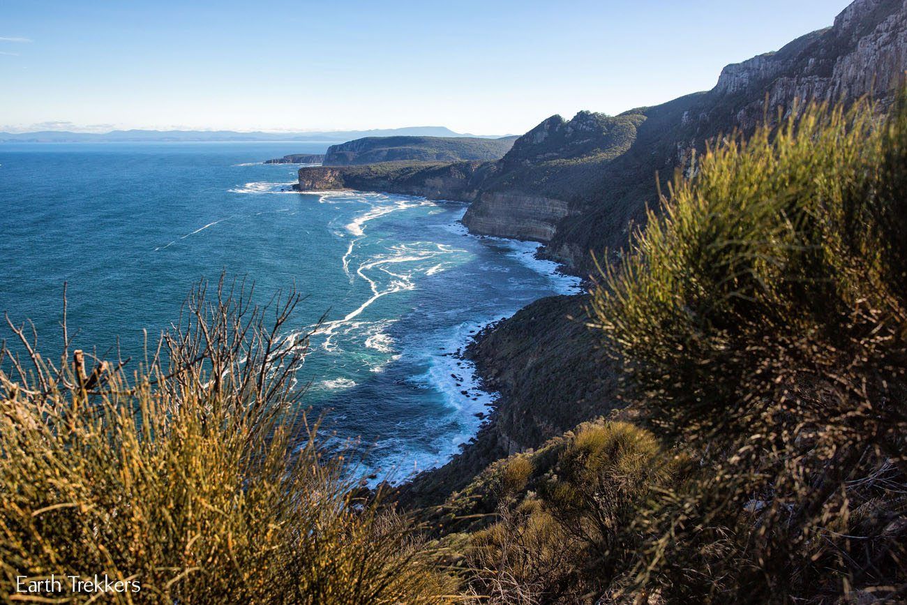
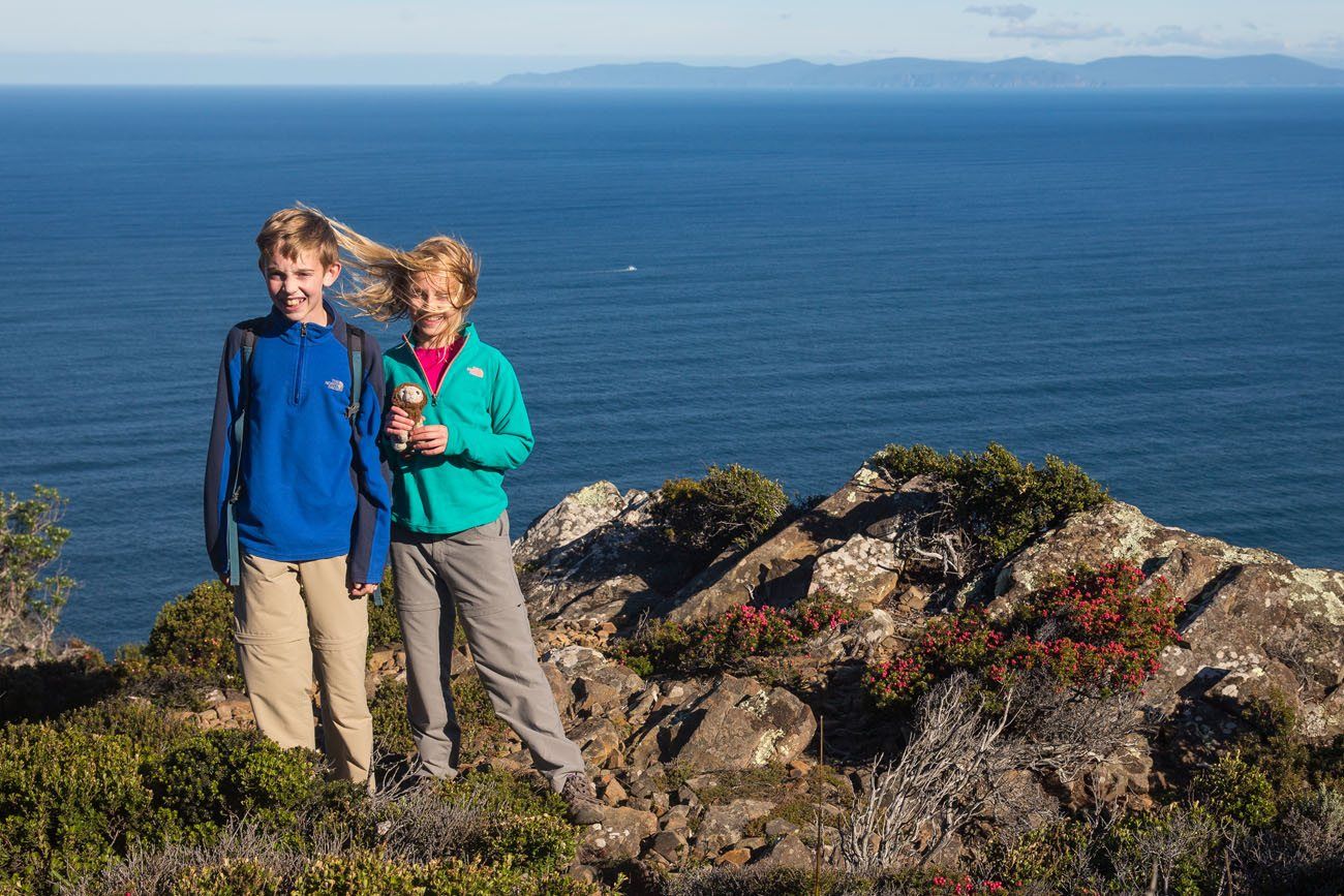
The next section of the walk out to Cape Raoul is flat and on a wide plateau. The trail is lined with shrubs and you have endless views of the coastline. To the east is Cape Pillar and to the west you can see Bruny Island and Mount Wellington.
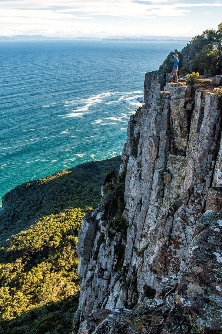
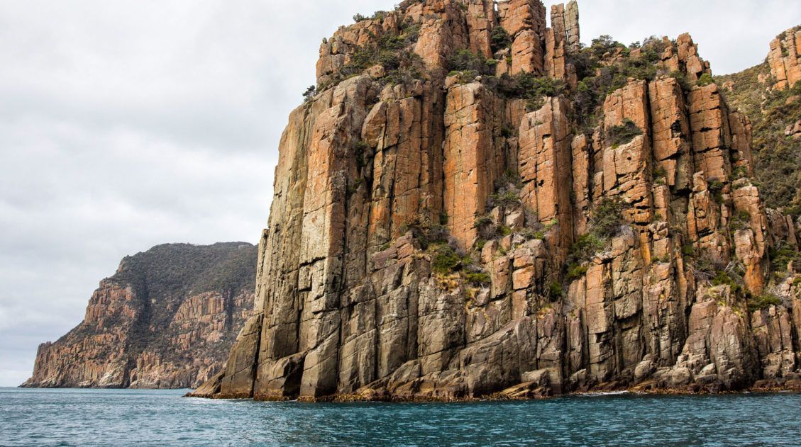
Once on this plateau, the trail becomes sketchy and difficult to follow (at least it was when we did this in 2015). The trail appeared to end, so we thought this was the end of the hike once we made it to this viewpoint. What we didn’t realize was that the trail continues out to the dolerite columns that you see in these photos.
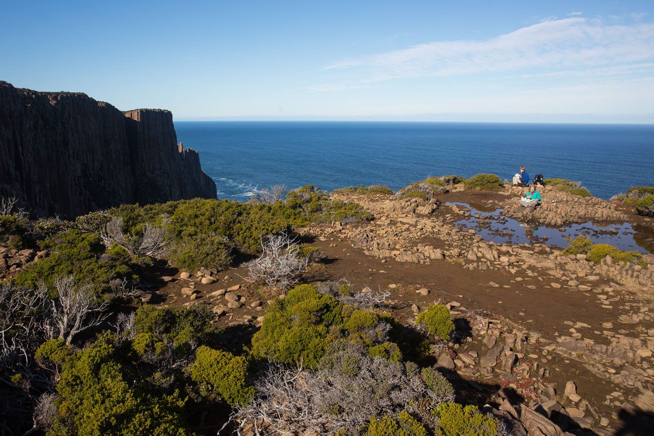
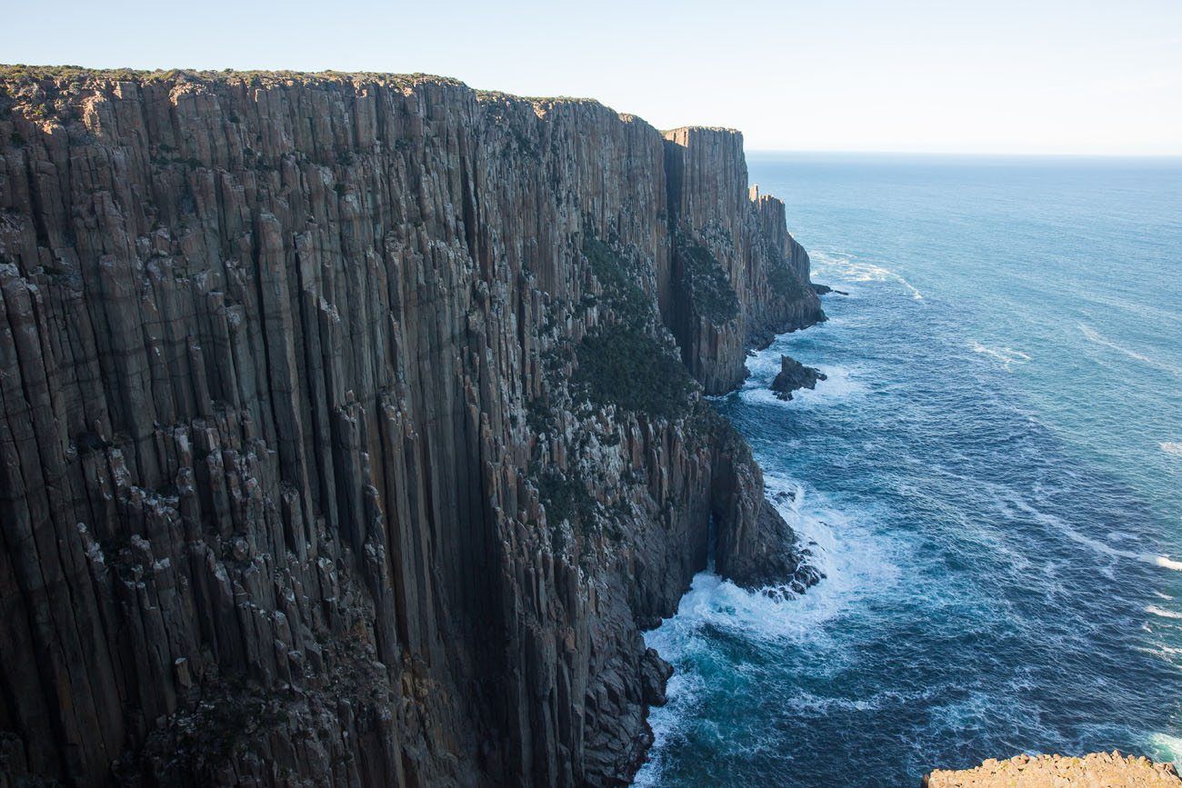
You can enjoy the view and turn around here, like we did, for a 12 km round trip hike. Or continue on for the full 14 km hike and stunning close up views of the columns. Hopefully the trail is better marked now.
For more information before you go, check out this post on Hikespeak.
More Information about Australia
Australia Travel Guide: How to Plan a Trip to Australia
Pinterest Facebook Flipboard Australia Travel Guide Australia, the land down under, beckons with its breathtaking beauty and unparalleled adventures. This is a country that has it all, with awe-inspiring wonders like the Great Barrier Reef and the uncharted lands of the Outback. Encounter wildlife that cannot be found anywhere else in the world on Australia’s […]
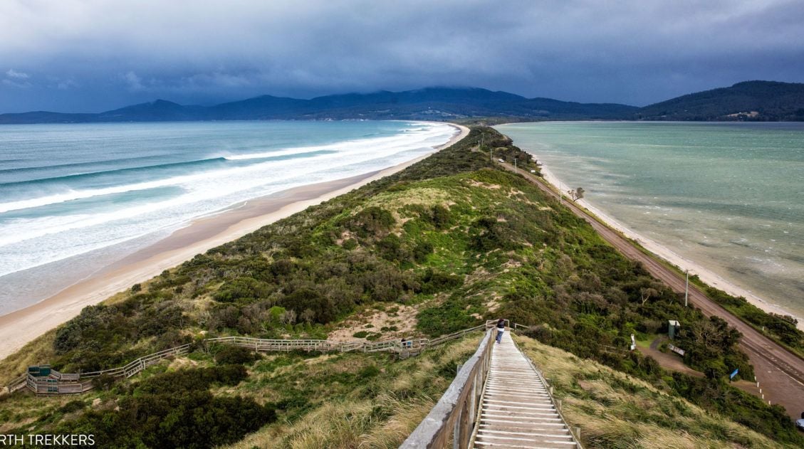
6 Must-Have Experiences on Bruny Island, Tasmania
Bruny Island is one of Tasmania’s southernmost islands. Covered in eucalyptus forests with long stretches of rocky coastlines and beaches, this island feels rugged and remote. But it is just a twenty minute ferry ride away from the mainland of Tasmania. Bruny Island is really two islands connected by a thin isthmus of sand. Approximately […]
The Tasman Island Cruise: One of the Best Ways to Experience Tasmania
Looking to add a little adventure to your trip to Tasmania? Then put the Tasman Island Cruise on your list. This was one of our favorite experiences in Tasmania and we highly recommend it. What is the Tasman Island Cruise? The Tasman Island Cruise is a scenic speedboat tour along the stunning coastline of the […]
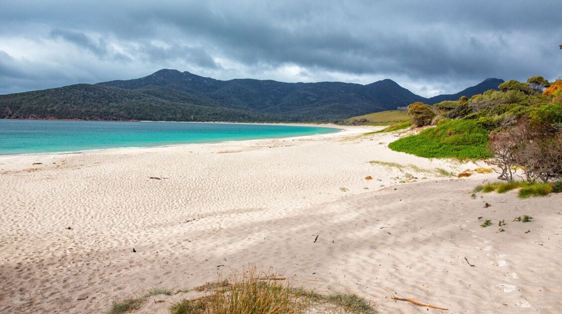
How to Hike the Wineglass Bay and Hazards Beach Circuit | Tasmania, Australia
In Norway and Italy we were hikers. In Nepal we were trekkers. In New Zealand we were trampers. Once we visited Australia and successfully hiked the Wineglass Bay Circuit, we can call ourselves bushwalkers. We had a week to spend in Tasmania, and like always, we were on the lookout for some of the best […]
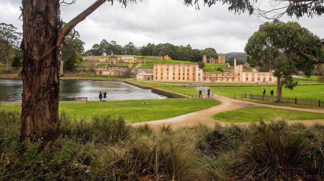
5 Amazing Things to Do on the Tasman Peninsula, Australia
The Tasman Peninsula may look small on a map, but there is a lot to do here. Speed boat cruises, ghost tours, hiking, touring one of Australia’s many penitentiaries, bird watching, whale watching, multi-day trekking…lots of great activities to choose from! The Tasman Peninsula is located one hour away from Tasmania’s capital city, Hobart. We used […]
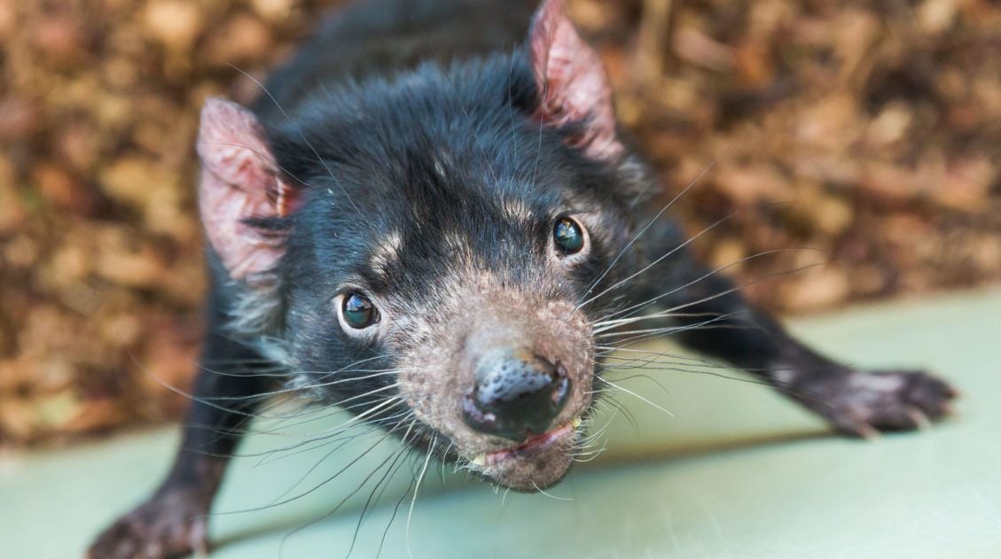
It’s A Feeding Frenzy at Bonorong Wildlife Sanctuary!
Kangaroos, wombats, and Tasmanian Devils, oh my! Time for another animal encounter, this time at Bonorong Wildlife Sanctuary in Tasmania, Australia. Tasmania, an island that sits off the southern coast of Australia, is home to some of the most unique wildlife in the world. Here, mothers raise their young in pouches, mammals lay eggs, and […]
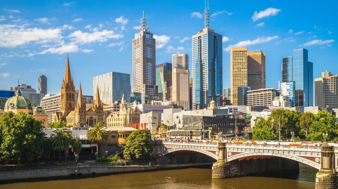
Best Things to Do in Melbourne, Australia: A First-Timer’s Guide
Melbourne blends world-class coffee, vibrant street art, and historic arcades into one of Australia’s most exciting cities. From sipping cappuccinos at legendary cafés to watching Aussie Rules football at the MCG, here are the best things to do in Melbourne. Melbourne is one of Australia’s most exciting cities, known for its world-class coffee culture, vibrant […]
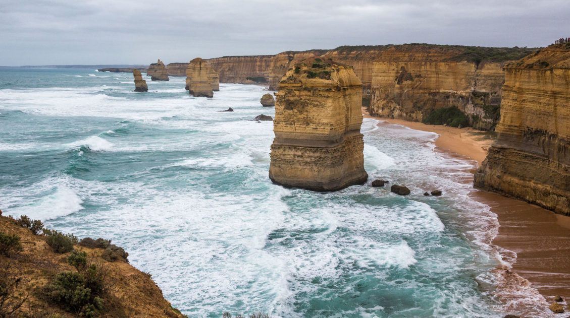
One Day Road Trip on the Great Ocean Road, Australia
The Great Ocean Road is one of Australia’s great drives. It is comparable to Big Sur in California with coastal views, winding roads, and many, many scenic viewpoints. For many people, the Great Ocean Road is a highlight when visiting Australia. There’s a lot to see and do along the way. In this post, we […]
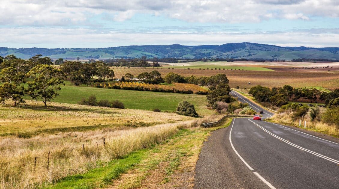
McLaren Vale Uncorked: A Guide to 18 Exceptional Wineries in the Region
McLaren Vale…welcome to one of our favorite places in Australia. The wine that is produced in this region is outstanding…big, bold Shirazes, fruity Cabernet Sauvignons, and full-bodied Chardonnays. We have traveled to wine regions throughout the world, including France, Italy, South Africa, Argentina, Chile, New Zealand, and the USA. South Australia is by far one […]
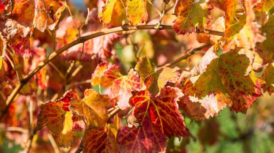
Wine Tasting in Barossa Valley: 13 Outstanding Wineries to Visit
Barossa Valley is one of Australia’s most famous wine regions. This globally renowned region is well known for its Shiraz, a big, bold red wine. It is also home to some of the most famous names in Australian wine, including Langmeil, Peter Lehmann, and Penfolds, as well as some smaller family run wineries. There is […]
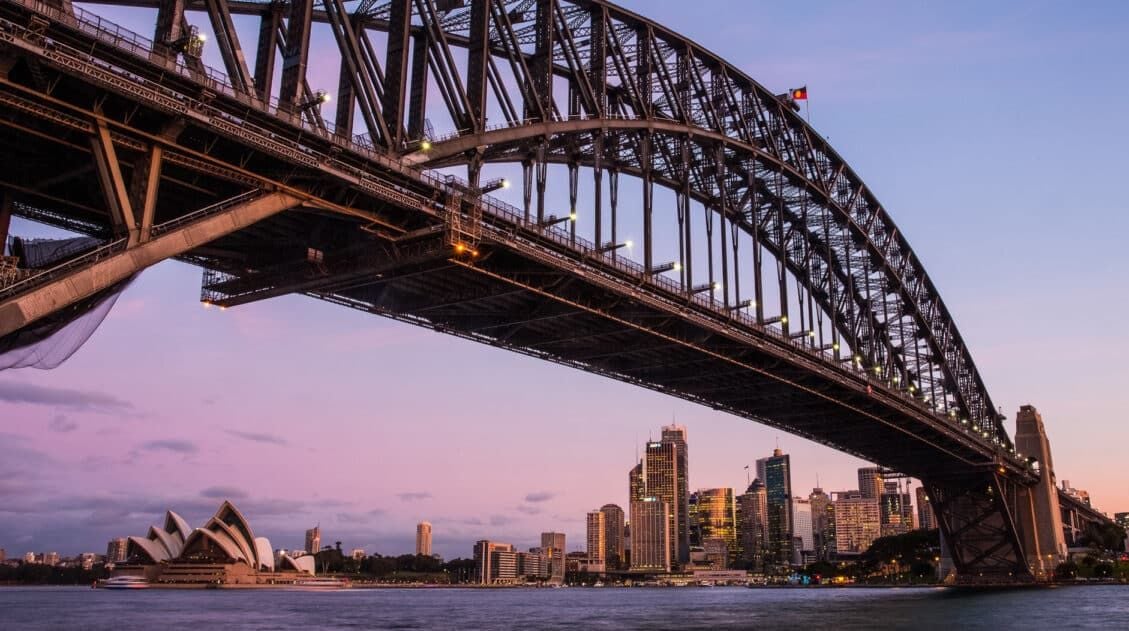
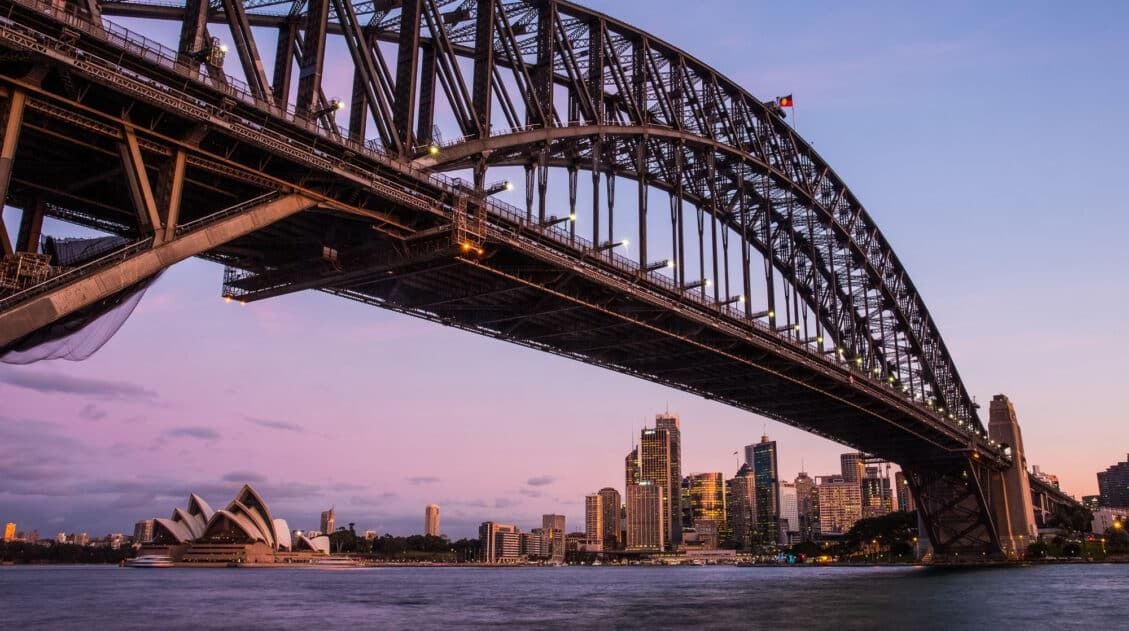
Sydney Bucket List: 40 Epic Things to Do in Sydney, Australia
Sydney is the largest city in Australia. It is world-renowned for its landmarks such as the Opera House and Sydney Harbour Bridge, its beautiful harbor, and its vast range of entertainment and fine dining. 40 things to do in Sydney sounds like a lot, and it is, but there are many more places we could […]
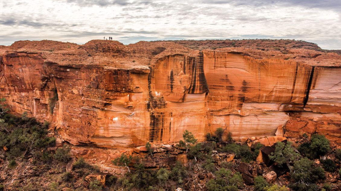
How to Hike the Rim Walk at Kings Canyon, Australia
Many people who travel to Australia visit Uluru. How can you miss seeing Australia’s most popular natural attraction? But there is a lot more out here than just a large, red rock plunked down in the outback. It can be hard to justify flying all the way to the Red Centre, only to spend a […]
Leave a Comment