
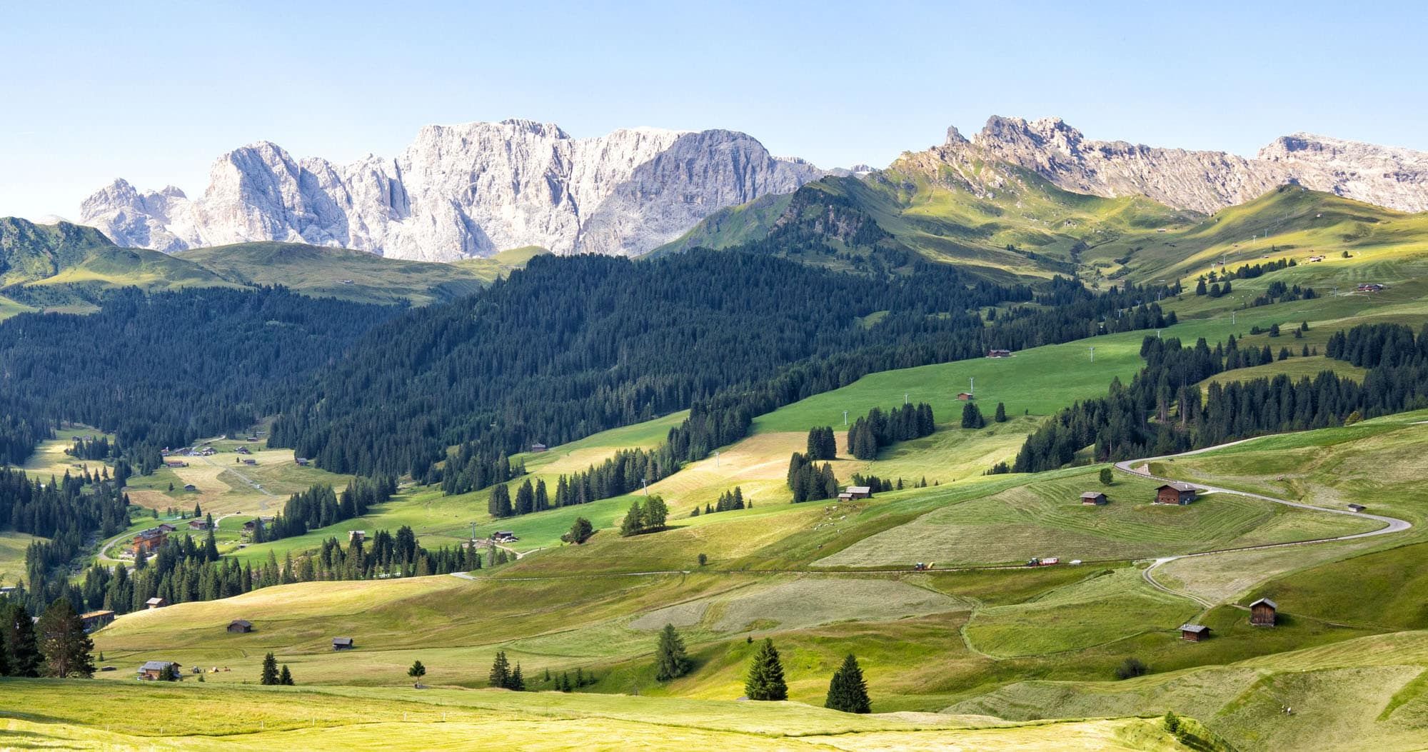
Alpe di Siusi (Seiser Alm in German) is the largest high alpine meadow in Europe. This lush, green meadow is located in the Dolomites of Italy. Cabins, rifugios, and hotels dot the landscape. Hiking trails and biking trails run along the hillsides, connecting the small villages. And Sassolungo, with its jagged, rocky peaks, looms over the area.
There are lots of different ways to plan your time in Alpe di Siusi during the summer months. In this guide, I will lay out what we did, what we learned, and what we would do differently on a return visit. If you’re just getting started planning your trip, read our Dolomites travel guide for tips on when to visit, how to get around, and where to stay.
August 2026 Update: Updated the new 2026 parking reservation system for Alpe di Siusi, plus current parking and lift prices and cable car operating hours.
What is Alpe di Siusi?
Alpe di Suisi is the largest high alpine meadow in Europe.
It can be visited all year long. In the warmer months, this is a popular hiking and biking destination in the Dolomites. In the winter, there are numerous slopes to go skiing or snowboarding.
Alpe di Siusi is a protected landscape area, so vehicle access is restricted. While the Seiser Alm cable car is operating, private vehicles can drive up to Alpe di Siusi before 9 am and after 5 pm. Driving back down is permitted at any time. If you plan to drive up, you now also need an advance parking reservation.
How to Get to Alpe di Siusi
If you look at a map, Alpe di Siusi isn’t far from Selva di Val Gardena or Ortisei. This alpine meadow sits on a mountaintop next to Ortisei. However, if you will be driving here, you will have to drive through Castelrotto, which makes it a longer drive than you might expect.
How to Use This Map: Click the tab in the top left corner of the map to see a list of the points of interest and to turn layers on/off. Click the icons on the map to get more information about each point of interest.
To take this map with you, click the star next to the title of the map which adds it to your Google account. Next, within your Google Maps app, select ‘Saved’ and then select ‘Maps’. This map title will now appear in your list.
Driving to Alpe di Siusi
If you have a car, you can drive to Alpe di Siusi before 9 am or after 5 pm while the Seiser Alm cable car is operating. The restriction applies to uphill traffic; you can drive back down from Alpe di Siusi at any time.
New for 2026: As of June 29, advance parking reservations are required for both parking areas on Alpe di Siusi. Reservations become available six days before your visit and can be made up until the morning of your visit, subject to availability.
To drive to Alpe di Siusi, take Via S. Valentino to the Tourist Information booth. This is where the driving restrictions are enforced. You will not be permitted past this point if it is between 9 am and 5 pm. If it is before 9 am or after 5 pm, continue up the road (it is now an unnamed road) until it ends in Compatsch/Seiser Arm.
Here are driving distances and times from nearby destinations:
- Selva di Val Gardena: 30 km, 45 minutes
- Ortisei: 23 km, 35 minutes
- Bolzano: 35 km, 45 minutes
- Cortina d’Ampezzo: 90 km, 2.25 hours
There are two parking lots:
- P2 Compatsch: €30 per day. This is the most convenient parking lot for the hike described in this guide because it is located directly in Compatsch.
- P1 Spitzbühl: €15 per day. This lot is located below Compatsch. From here, it is about a 30-minute uphill walk to Compatsch.
From July 25 through September 6, 2026, bus line 14 also connects P1 Spitzbühl with Compatsch.
PRO TRAVEL TIP: If you plan to follow our hike from Compatsch to Saltria, I recommend reserving P2 Compatsch. It puts you right at the starting point of the hike and eliminates the additional uphill walk or bus from P1.
Cable Car to Alpe di Siusi
Another option is to ride the Seiser Alm Aerial Cableway from Siusi (Seis) to Compatsch. This is the easiest option if you don’t want to drive up before 9 am or deal with the mountain parking reservation system. There is a large free outdoor parking lot at the lower cable car station.
In 2026, the Seiser Alm cable car operates from May 22 through November 2. It runs from 8 am to 7 pm during the main summer season, with an earlier 6 pm closing time in late spring and fall. A round-trip ticket costs €30 per adult and a family ticket costs €65.
Alternatively, you can also ride the Ortisei – Alpe di Siusi cable car. This cable car starts in Ortisei and ends in Alpe di Siusi, at Almgasthof Mont Seuc. This saves you a long drive to Compatsch but puts you at the eastern side of Alpe di Siusi, not in Compatsch.
Bus to Alpe di Siusi
It is also possible to get to Alpe di Siusi by bus. Get more information here.
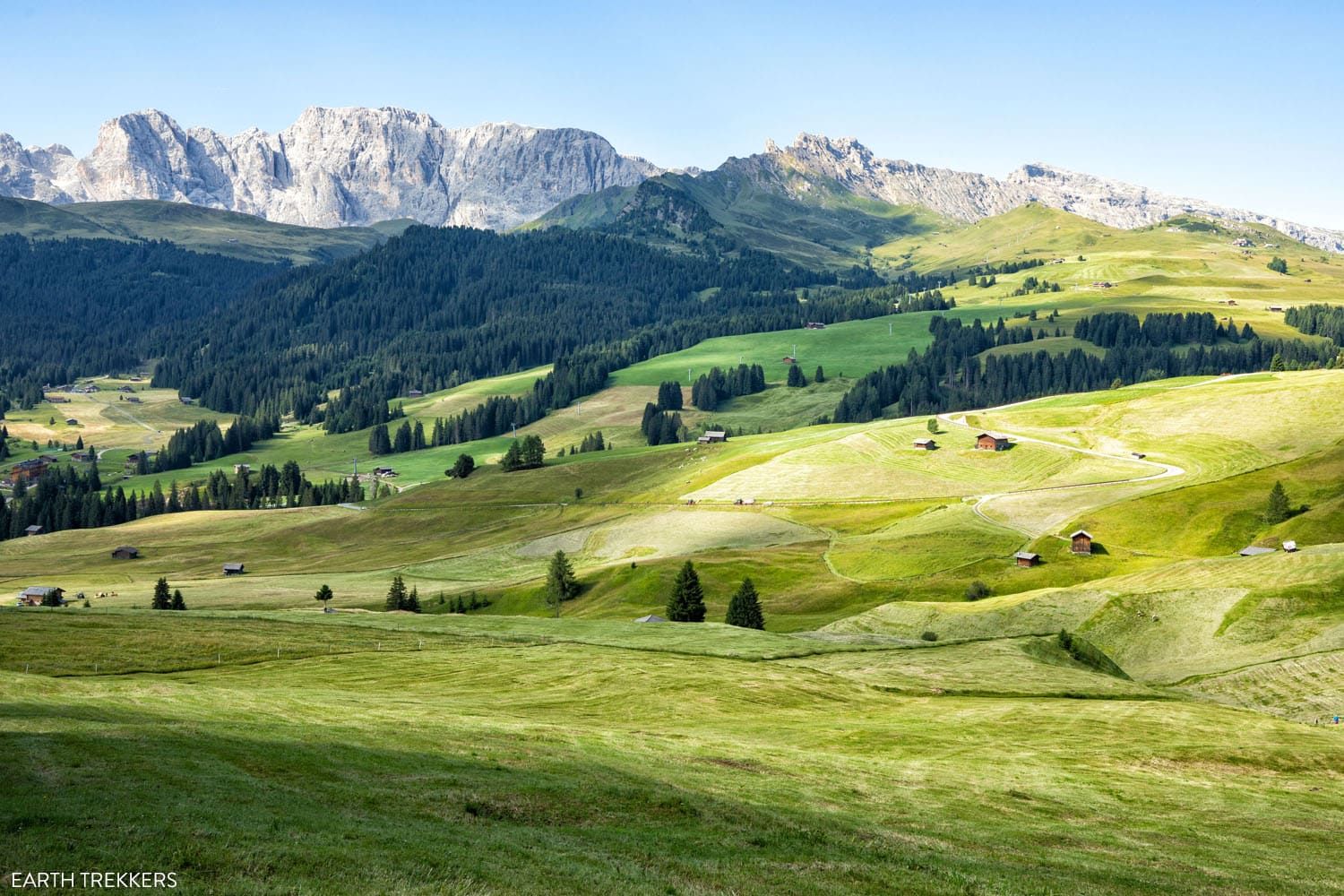
Alpe di Siusi (Seiser Alm) in July
Compatsch, Alpe di Siusi
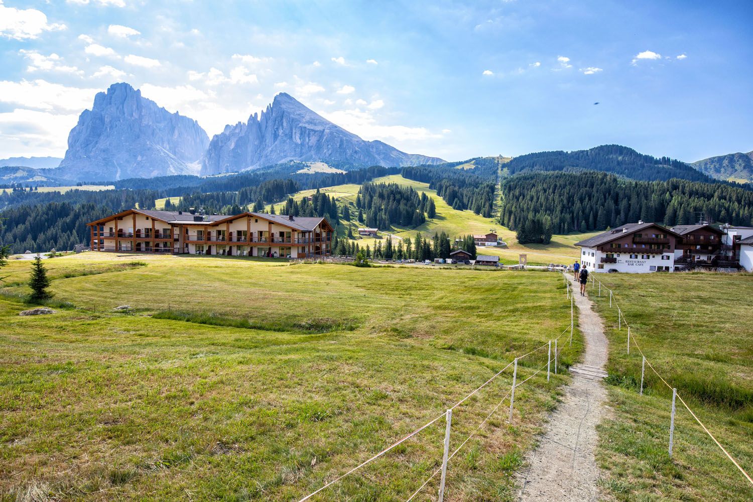
Compatsch (Compaccio) is located on the western side of Alpe di Siusi. In this very small town are hotels, restaurants, and rental shops. Right across the street from the main parking lot are bike rental shops. We ended up hiking around Alpe di Siusi, but in hindsight, we wish that we had rented bikes.
PRO TRAVEL TIP: Alpe di Siusi is hilly, so rent an E-Bike so you don’t have to do a lot of work cycling uphill. The transportation of bikes is not allowed on the shuttle buses and the Almbus.
In Compatsch, there is also a bus station. The Almbus (route 11) connects Compatsch with other places in Alpe di Siusi, such as Panorama, Rauch, and Saltria. Bus tickets can be purchased at the stations.
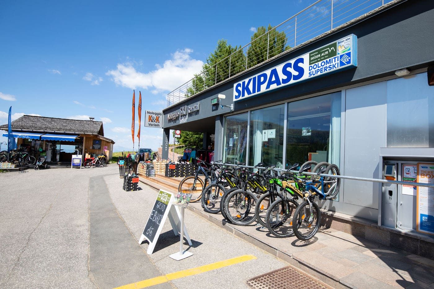
Bike rental shops in Compatsch
Hiking from Compatsch to Saltria
Compatsch sits high on the western end of Alpe di Siusi. Saltria is a tiny village that is nestled down in the central part of the area. To get here, you can hike (this is what we did), cycle, or take the bus.
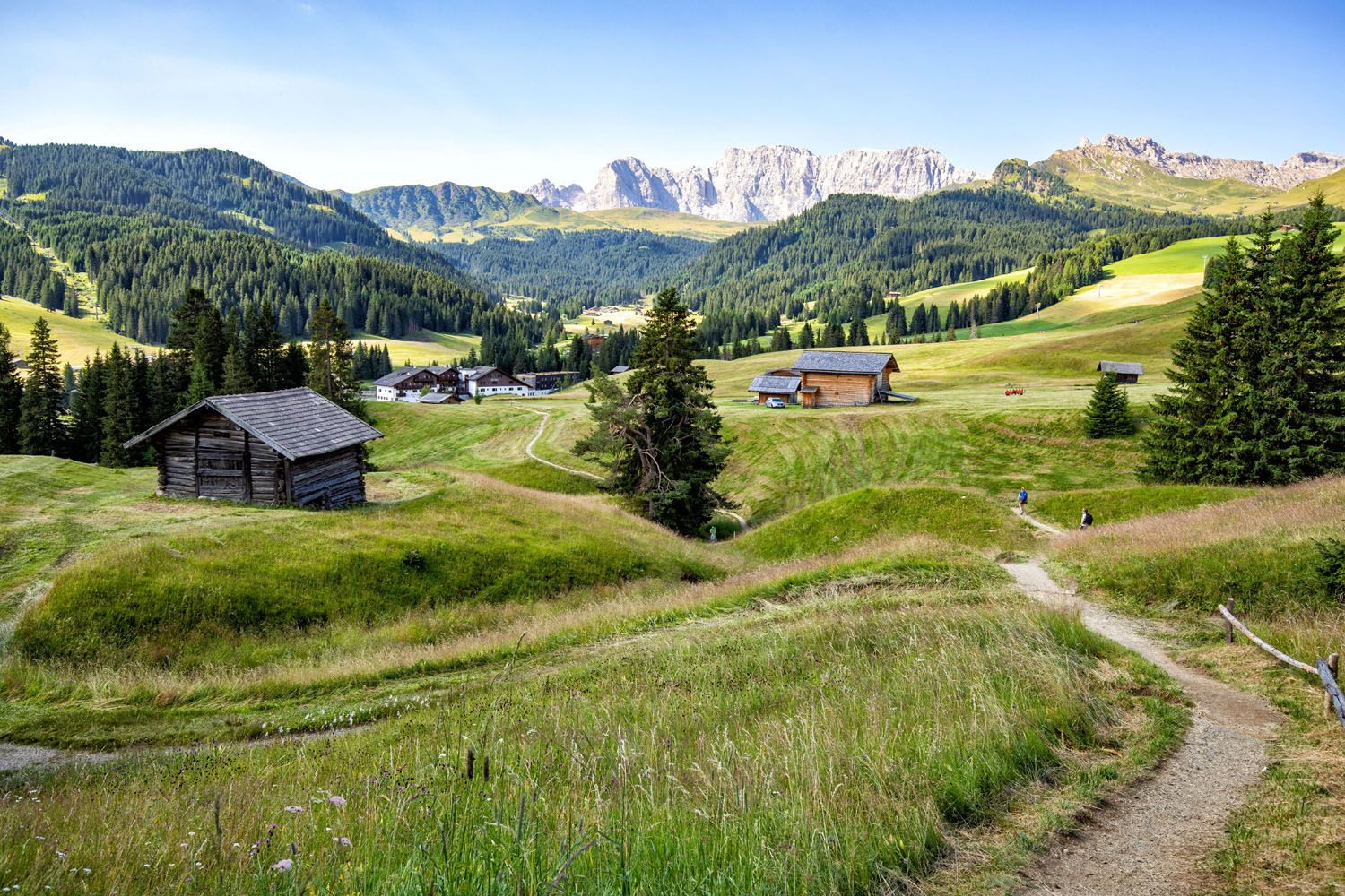
From Compatsch, we walked to several rifugios before entering Saltria. It is a very pretty walk, with wonderful views of Alpe di Siusi and Sassolungo.
We started this walk around 8:15 am (we arrived early because we chose to drive all of the way to Compatsch). Here is a description of the short hike we did in Alpe di Siusi.
Alpe di Siusi Hiking Stats
Starting Point: Compatsch
Ending Point: Saltria
Distance: 6.8 km (4.2 miles) point-to-point
Difficulty: Easy
Total Ascent: 105 meters (350 feet)
Total Descent: 260 meters (850 feet)
Lowest Elevation: 1,685 meters (5,530 feet)
Highest Elevation: 1,875 meters (6,150 feet)
Time: 2 hours
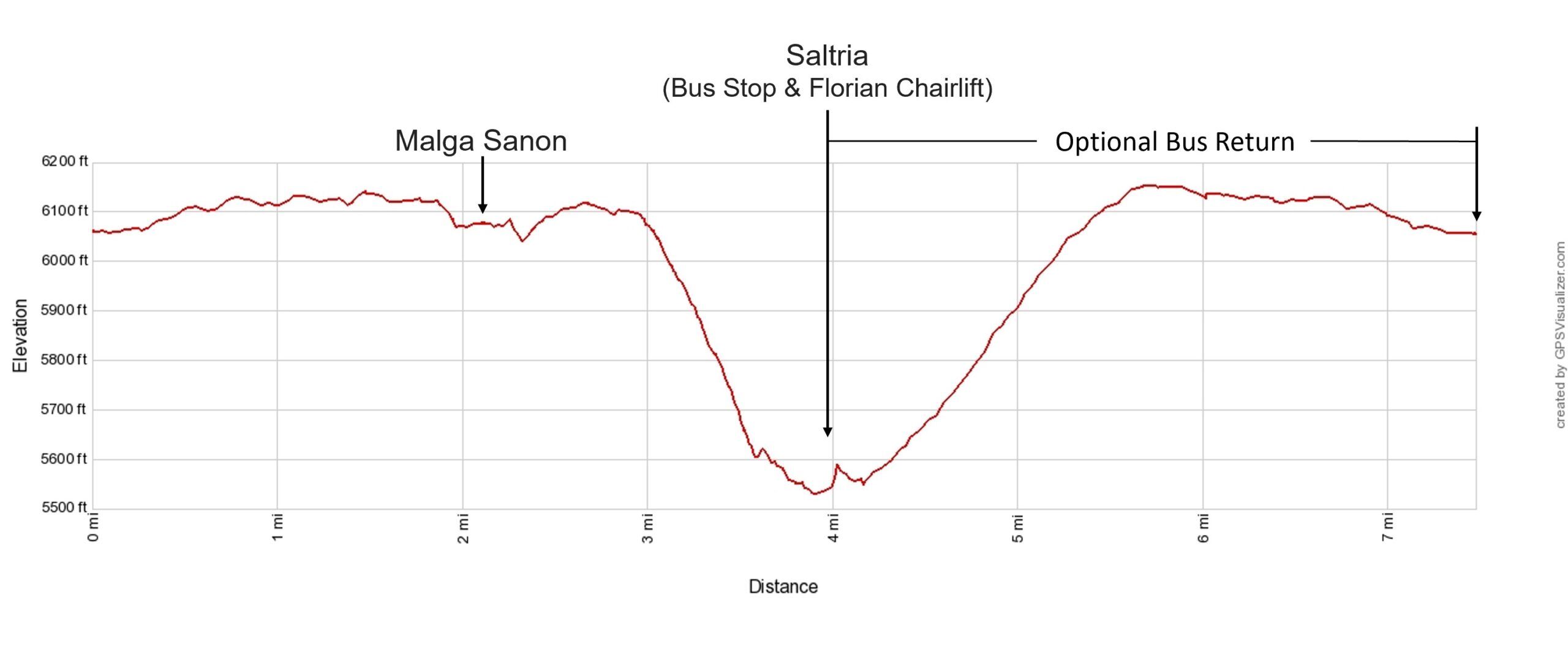
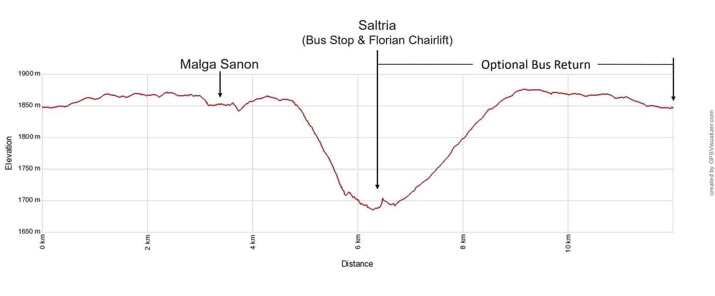
Elevation profile of the hike from Compatsch to Saltria. This includes the return to Compatsch, which you can do by bus (this is what we did) or walk back along the road.
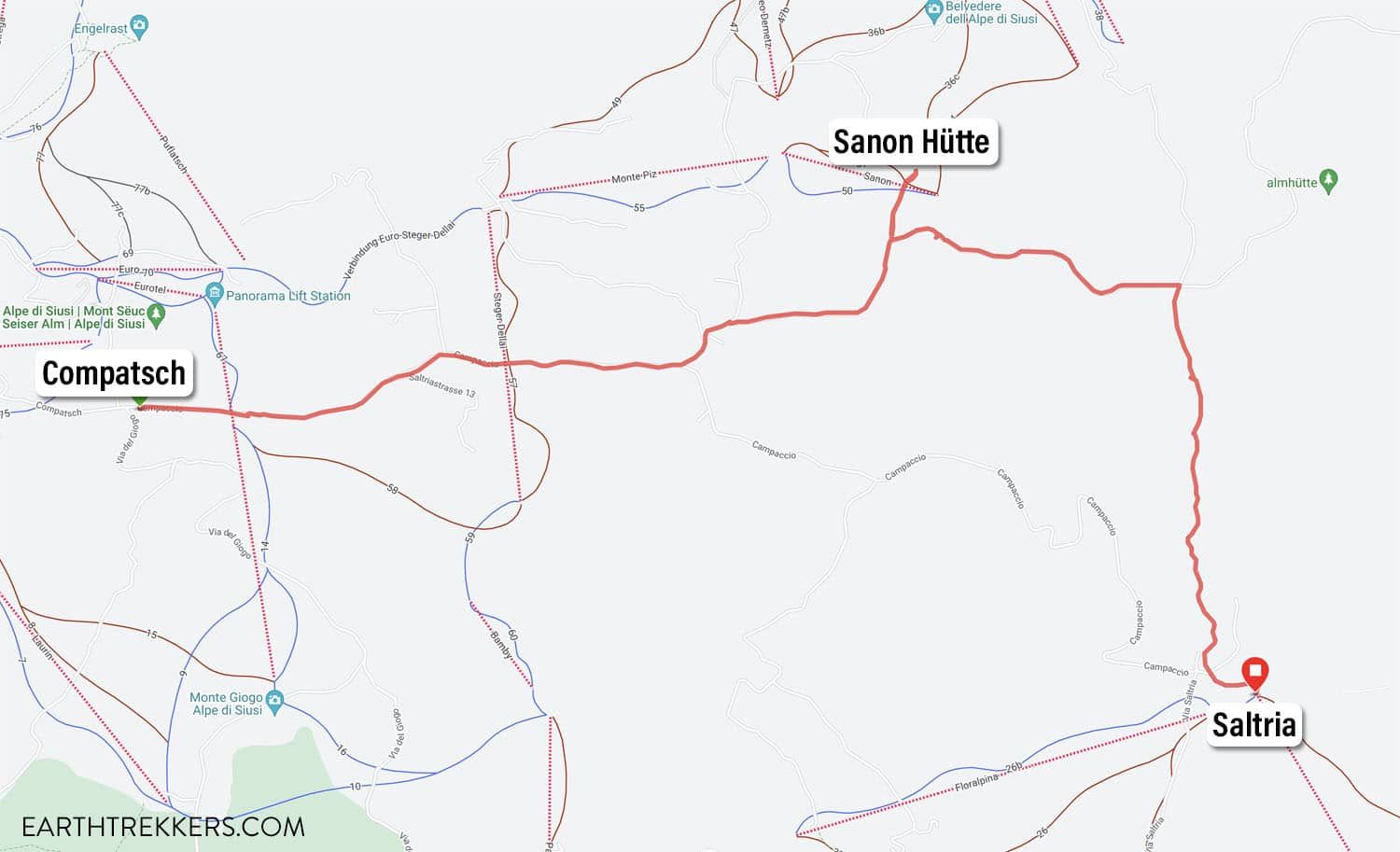
Map from Compatsch to Saltria
Compatsch to Sanon Hütte (Malga Sanon)
From the parking lot in Compatsch, walk to the east side of the parking lot, towards Via del Giogo. Look for a trail sign with a very long list of places to visit in Alpe di Siusi.
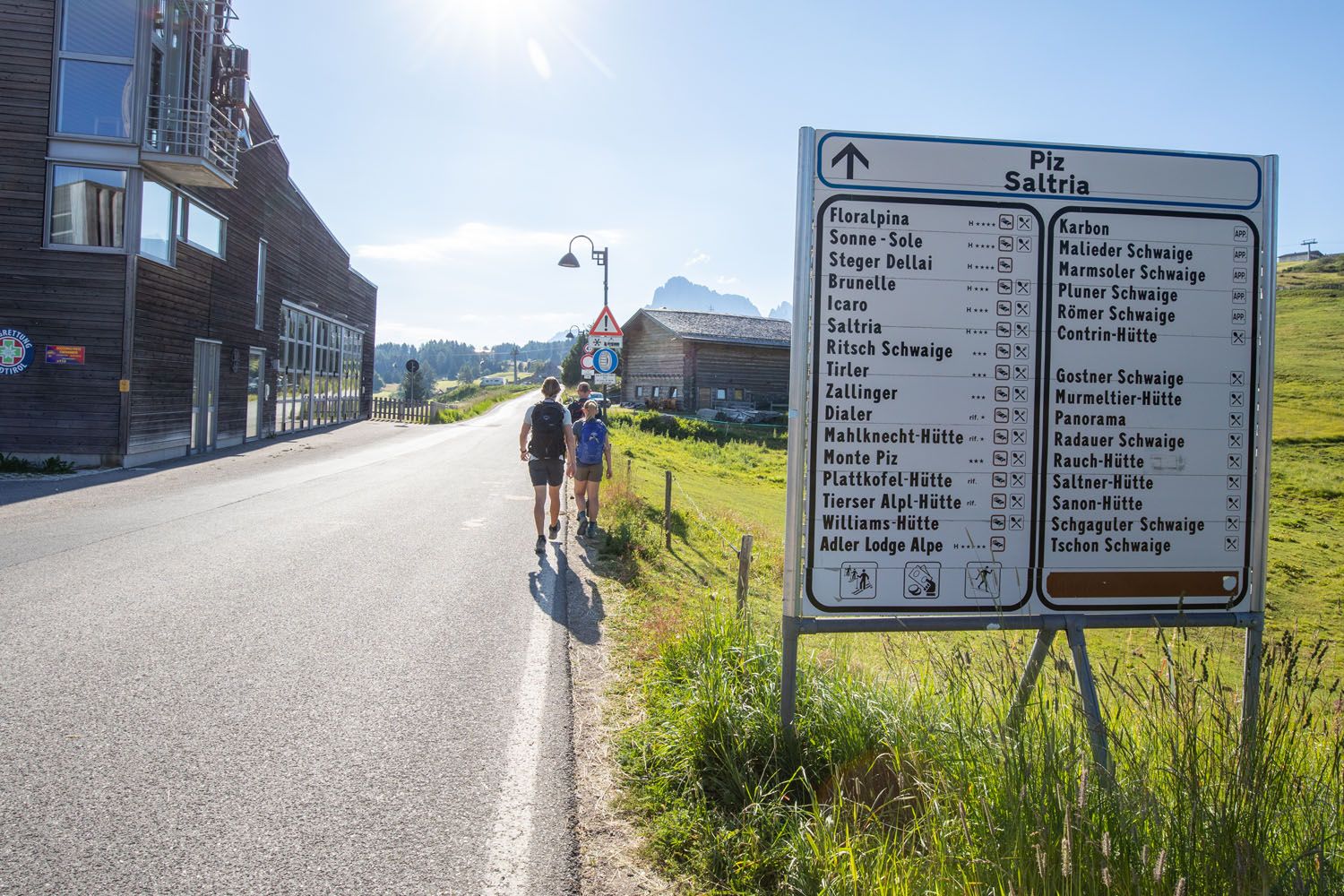
Hiking through Compatsch
On our point-to-point hike to Saltria, we first went to Sanon Hütte. From Compatsch, take trail #30. It is a 50-minute walk and for the most part, it is flat with some short downhill sections. The first part of the walk is the most boring, as you walk along paved streets in Compatsch, but once out of town, you enter the pasture and the views become much better.
Most of this walk is along some sort of road, either paved or gravel. There are several trail splits along the walk, but each junction is well marked with a trail sign.
The trail number changes several times between Compatsch and Sanon Hütte.
In Compatsch, take trail #30 to Sanon Hütte. Just outside of Compatsch this changes to trail #3 and then near Apartment Mooshütte it changes to trail #6. Just a minute or two beyond Mooshütte the trails fork again and now you will be walking on trail #6B to Sanon Hütte. Each junction lists Sanon Hütte, so it’s easy to keep things straight, despite the long list of trail number changes.
Here are the views in the early morning along this first part of the hike.
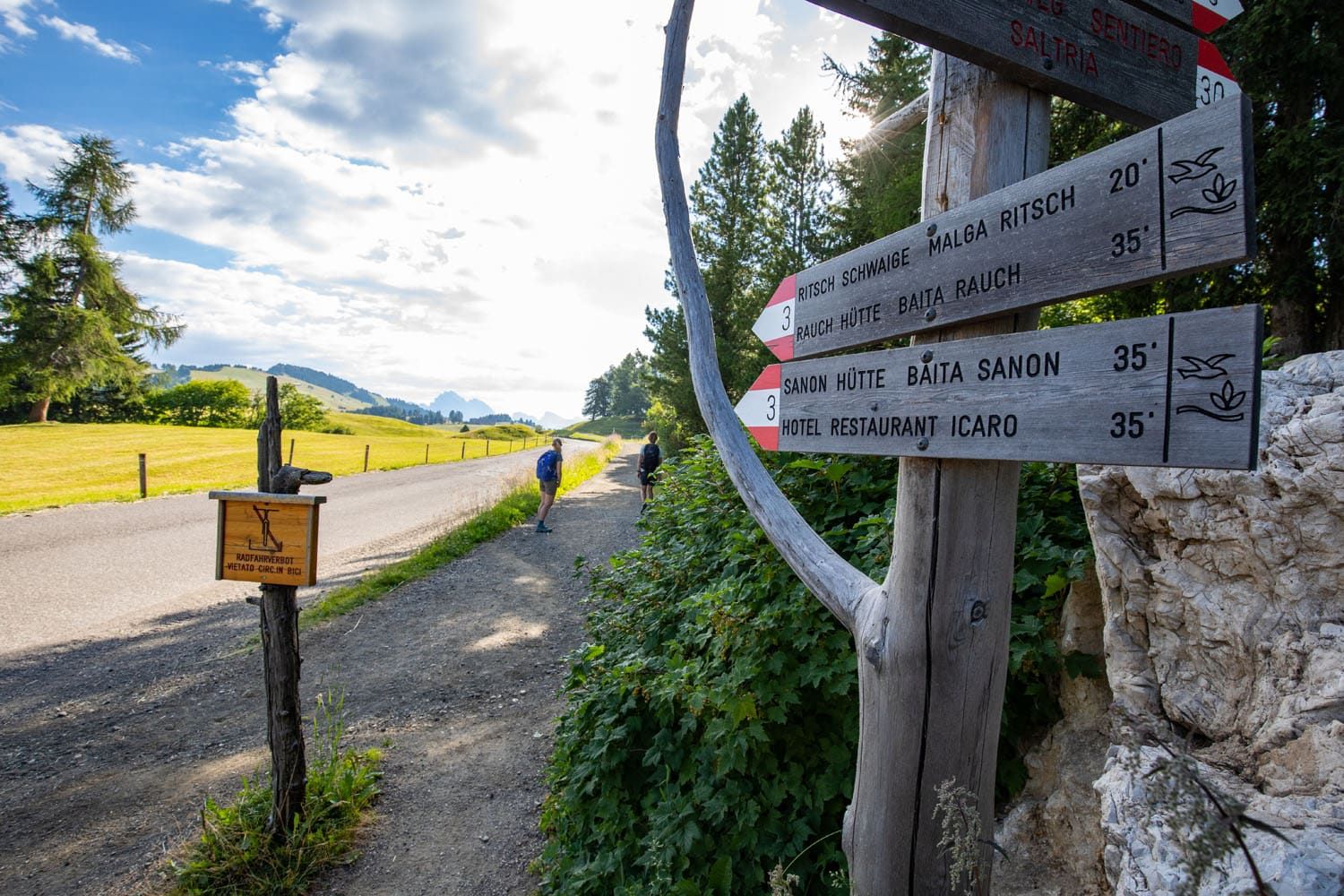
The hiking trail just outside of Compatsch
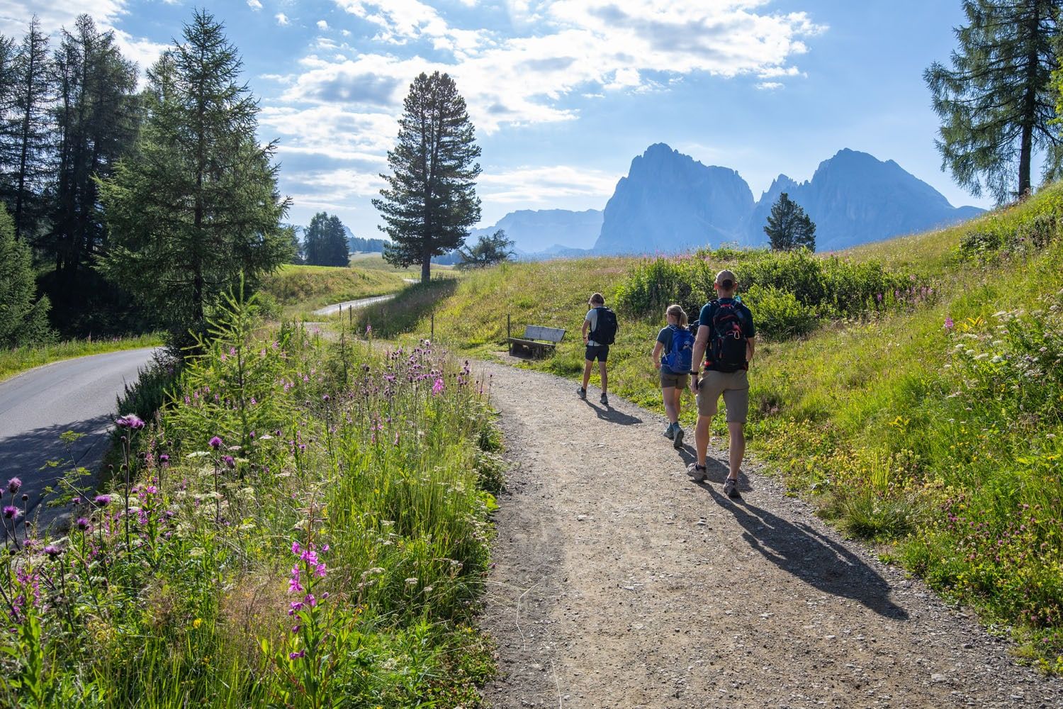
Sassolungo comes into view
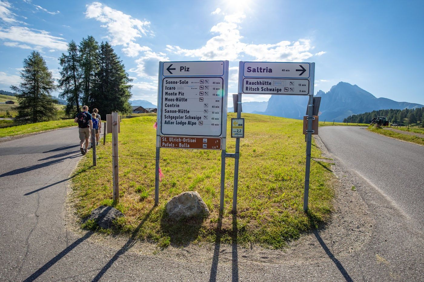
At this split, stay left to continue to Piz and Sanon Hütte (to follow what we did). If you prefer to go right to Saltria and Williamshütte, stay to the right.
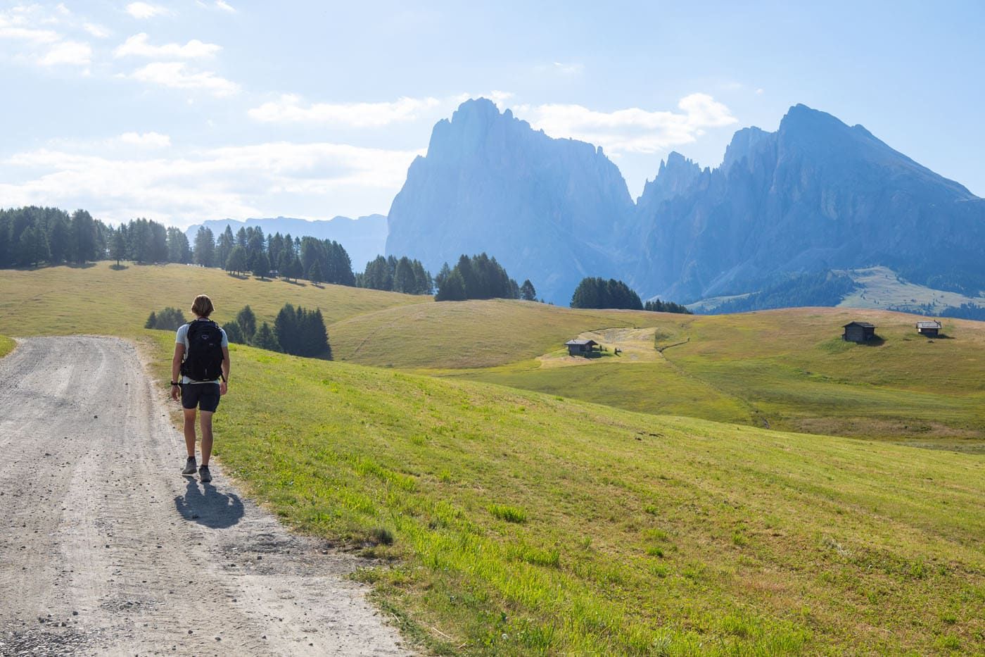
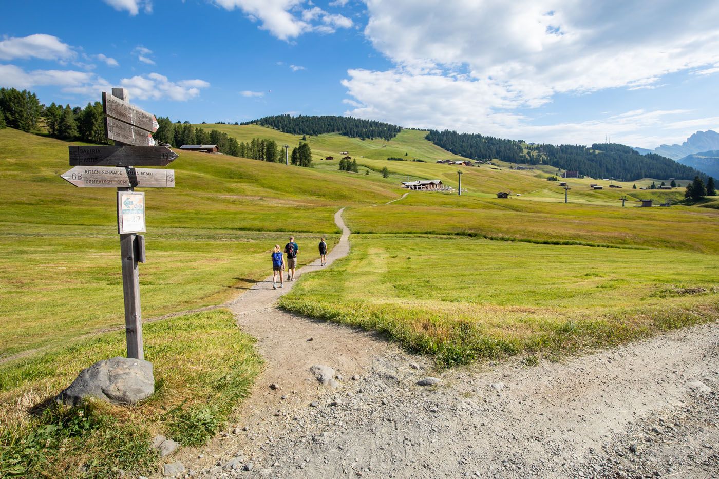
To go to Sanon Hütte, take the narrow trail seen here on the left.
Sanon Hütte
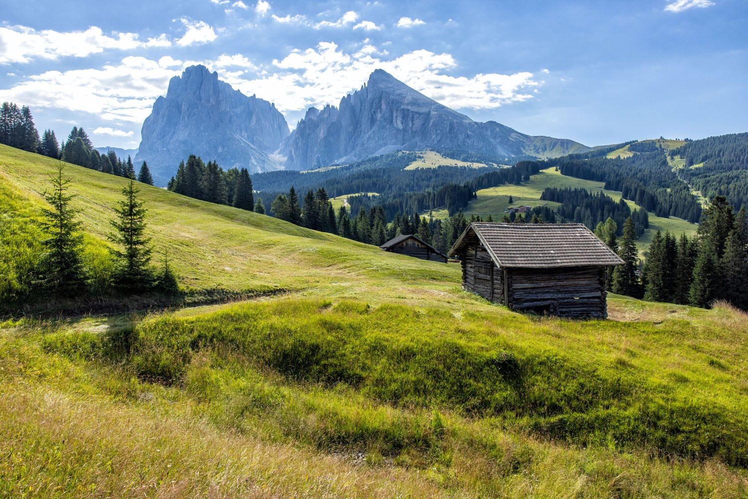
Since we started this hike so early, Sanon Hütte was not open during our visit, unfortunately. The view of Sassolungo and Alpe di Siusi is magnificent from here. I think this would be a great place for lunch, an afternoon snack, or a drink with a view.
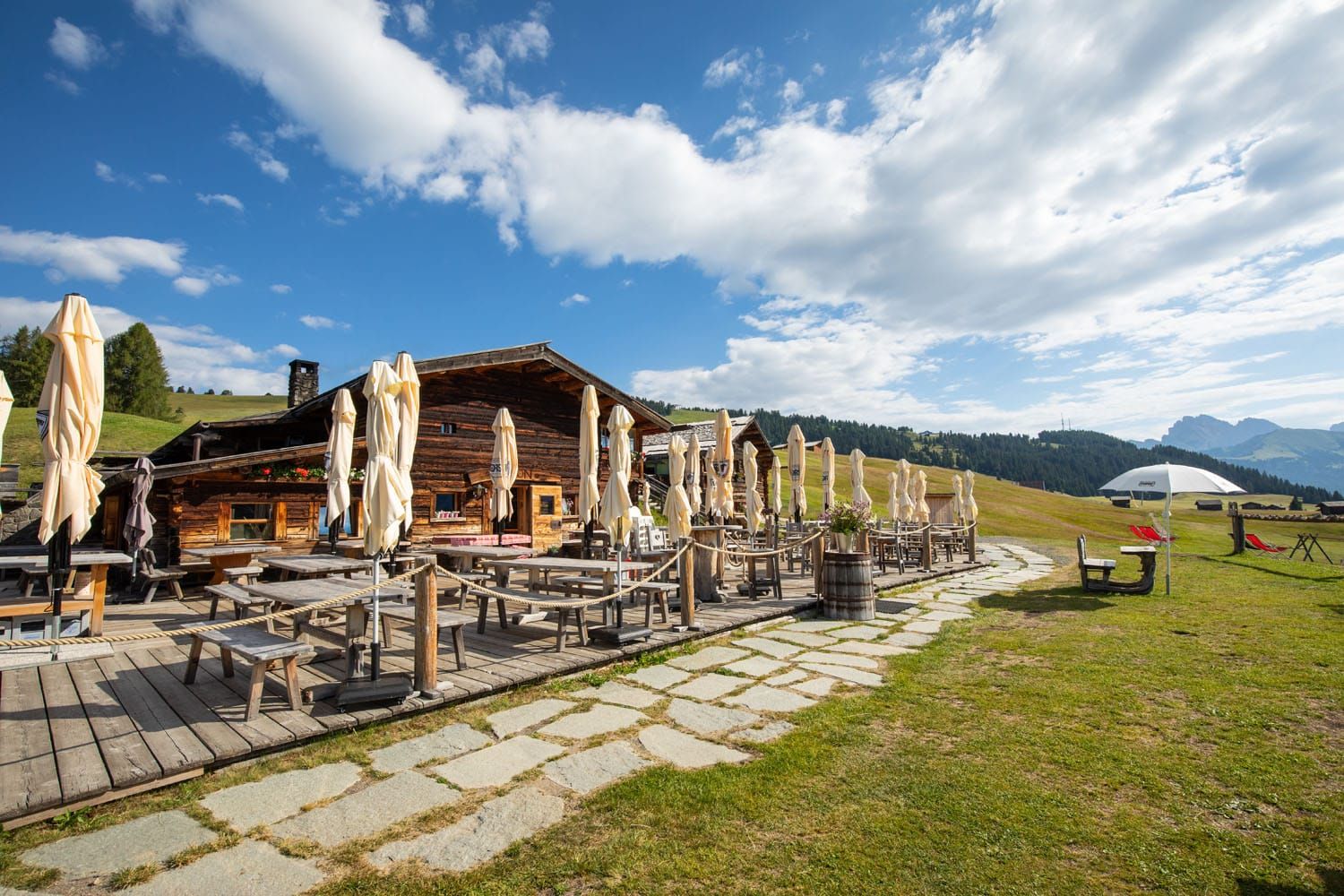
Sanon Hütte
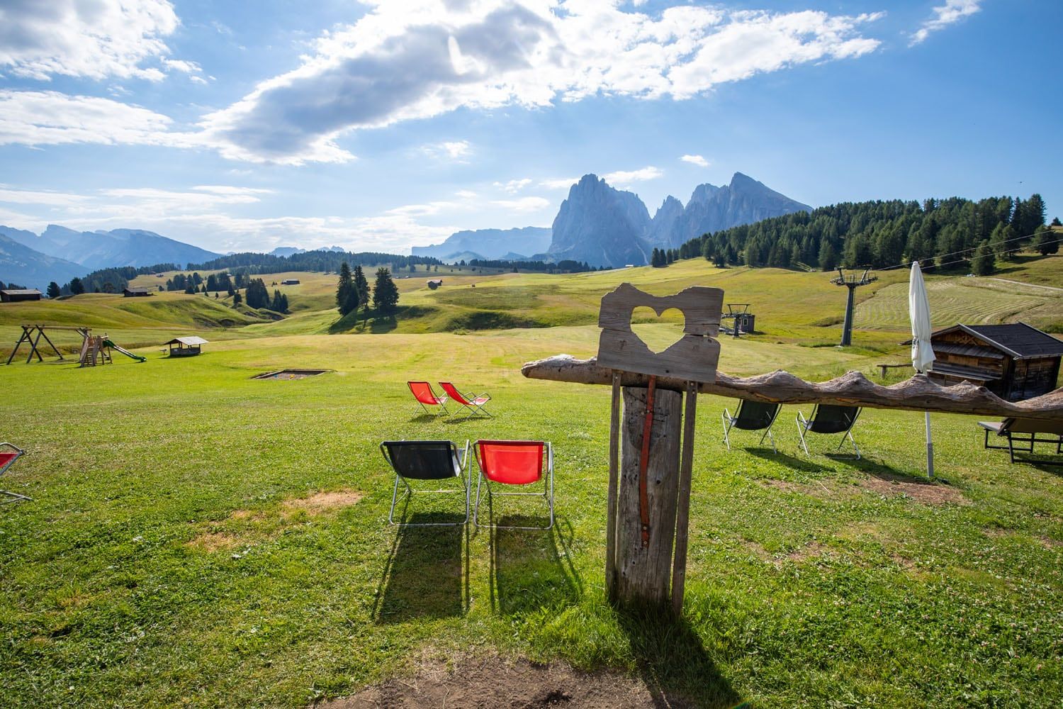
The view from Sanon Hütte
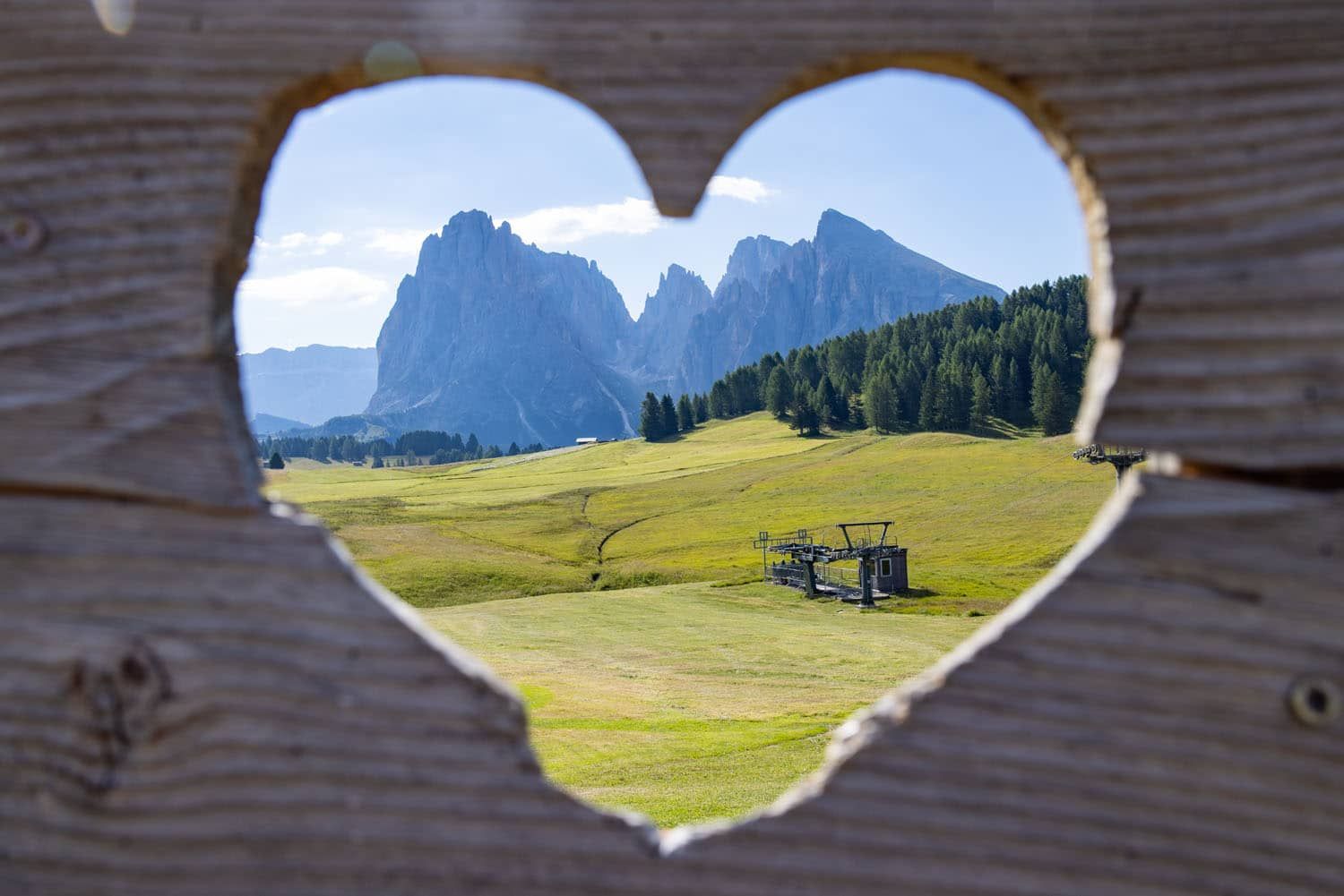
Sassolungo from Sanon Hütte
Sanon Hütte to Saltria
From Sanon Hütte, walk back out to the gravel road and then turn left. You are now on trail #19 to Saltria. Again, you are walking on a gravel road, passing through several farms.
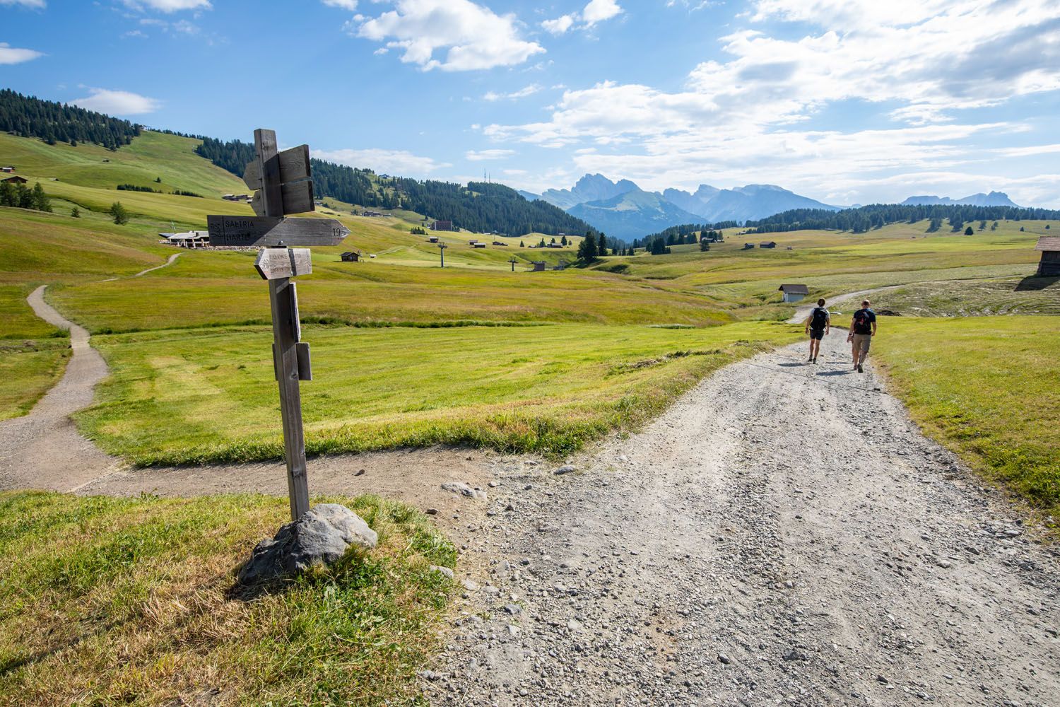
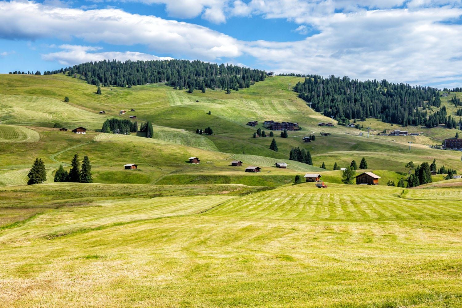
View of Alpe di Siusi from the trail.
From the wide gravel road, you will reach another trail junction. Take trail #9 to Saltria. It takes about 20 minutes to walk to Saltria from this point.
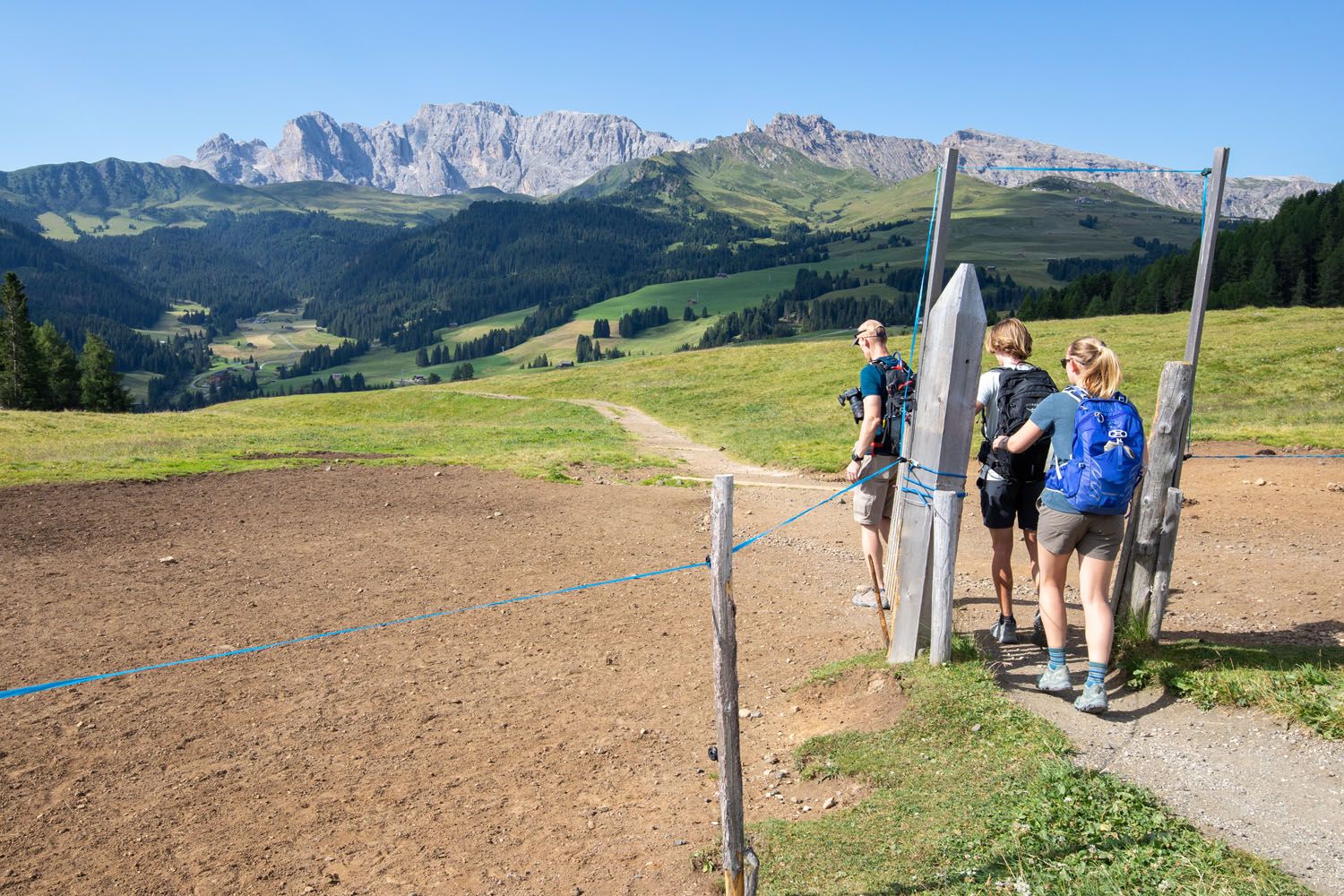
Pass through this gate and hike downhill to Saltria.
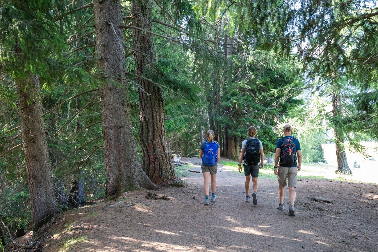
This, in my opinion, is the prettiest part of the hike. Now you are hiking downhill on a dirt trail. Sassolungo is just off to your left and the rolling hills of Alpe di Siusi are right in front of you. You will also hike through an evergreen forest and past a horse farm.
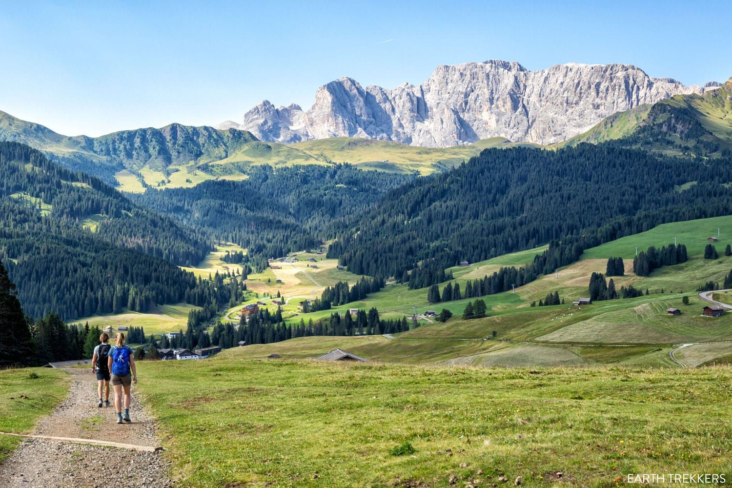
Entering Saltria
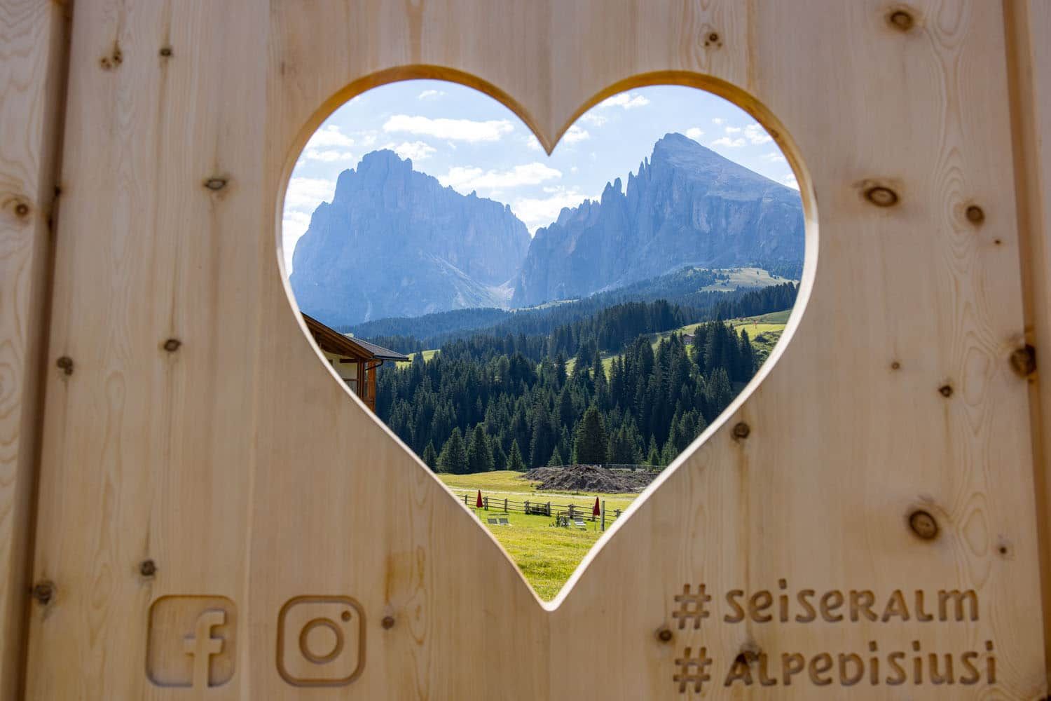
In Saltria, don’t miss another cool spot to take a photo of Sassolungo.
Once you arrive in Saltria, you can have lunch at one of the restaurants here, hike or ride the bus to Compatsch, or ride the Florian chairlift.
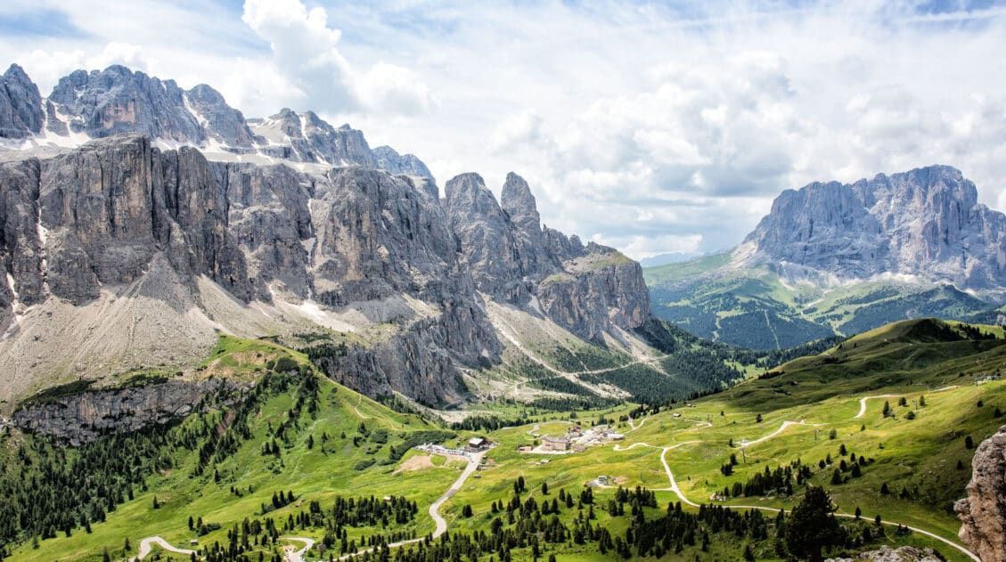
Florian Chairlift to Williamshütte
We knew nothing about the Florian chairlift before our visit, but it looked like a fun thing to do while in Saltria.
Tickets can be purchased at the station. In the summer, a round trip ticket costs €20.
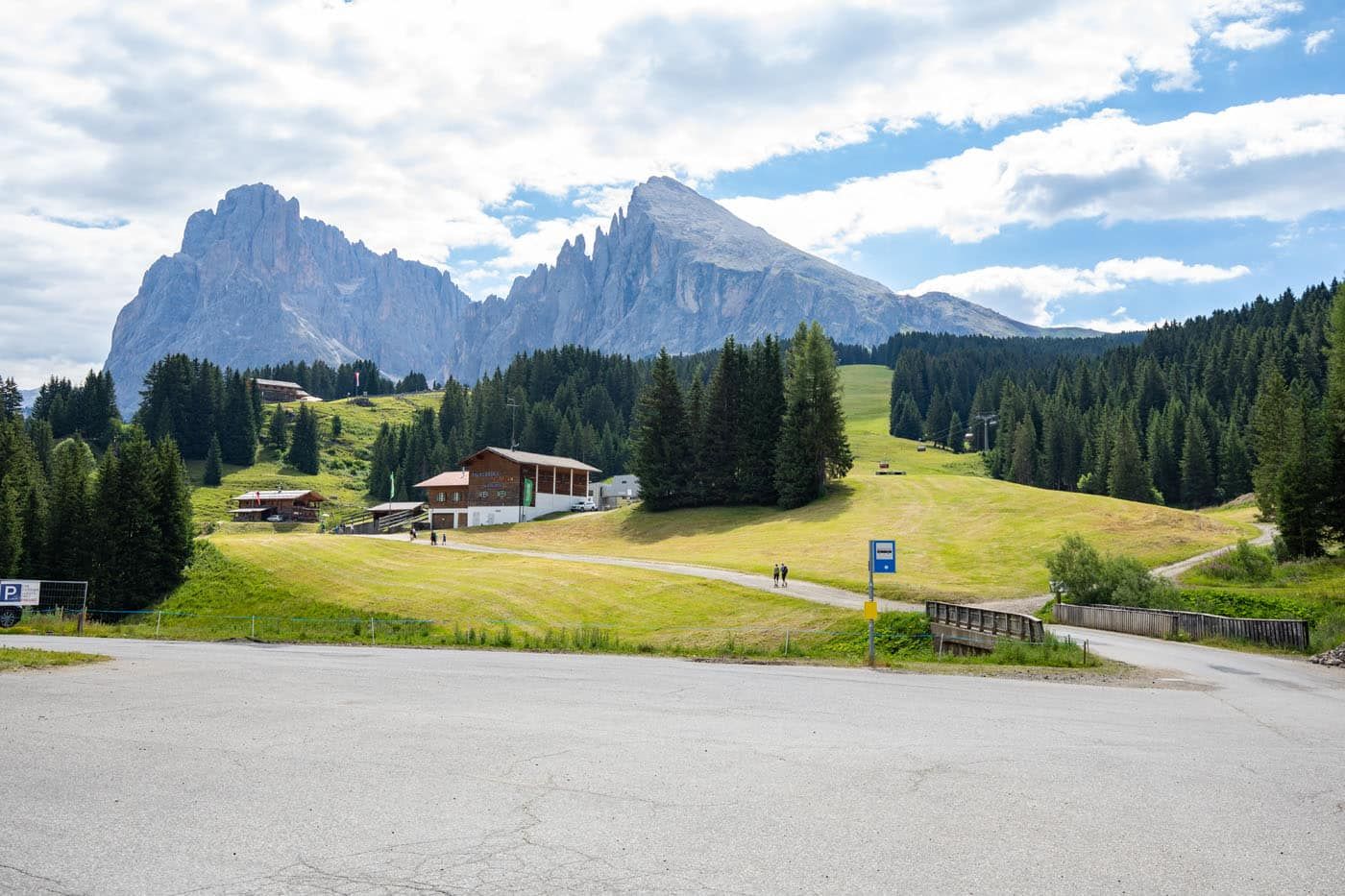
Bottom station of the Florian chair lift with Sassolungo in the background.
Williamshütte is a restaurant with outdoor terrace that has stunning views of Sassolungo. There is also a playground for kids and we had fun on the swing and zip line.
There is a hike that starts at Williamshütte and goes to Rifugio Sasso Piatto (Plattkofelhütte). And from this hut, you can hike another 2 hours up to Sasso Piatto (Plattkofel), on Sassolungo. Because of time constraints, we did not do this, but it looks like a great add on to the day, if you don’t mind the idea of a strenuous hike.
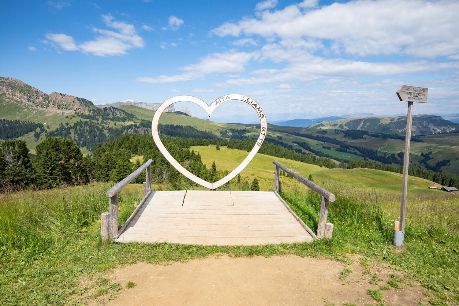
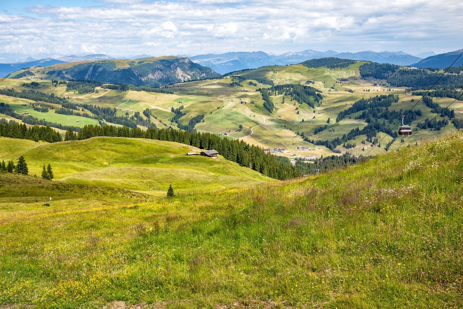
View from Williamshütte
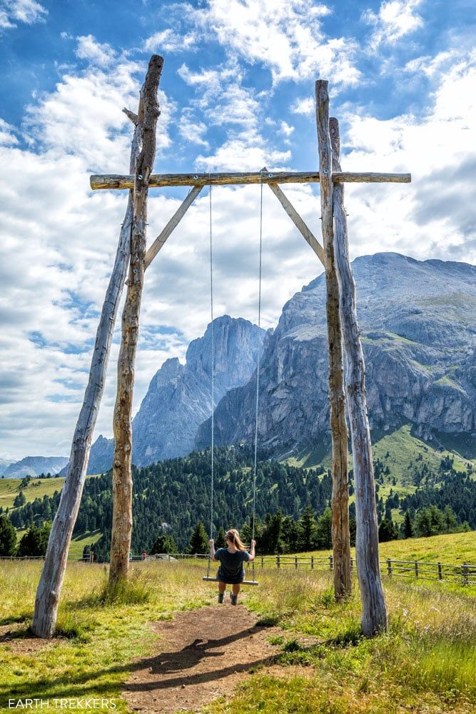
The swing at Williamshütte
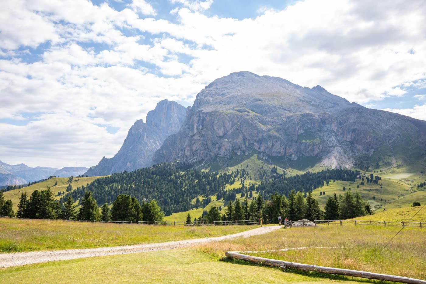
Hiking trail to Rifugio Sasso Piatto (Plattkofelhütte)
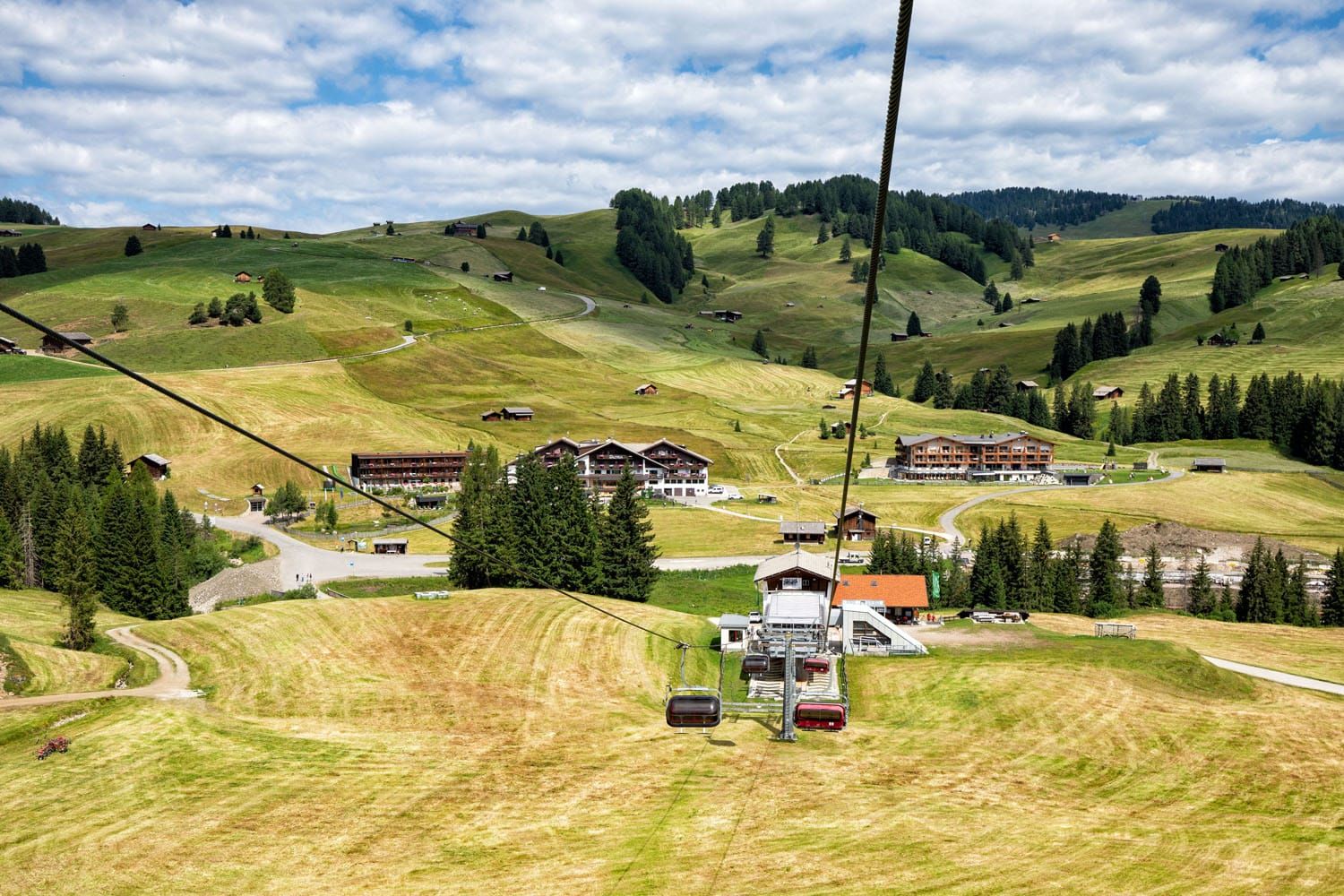
View of Saltria from the chairlift
Saltria to Compatsch
From Williamshütte, we rode the chairlift to Saltria and from Saltria, rode the bus to Compatsch. From Saltria, it is a mostly uphill hike to Compatsch. We bought our bus tickets at the automatic ticket machine at the Saltria bus stop.
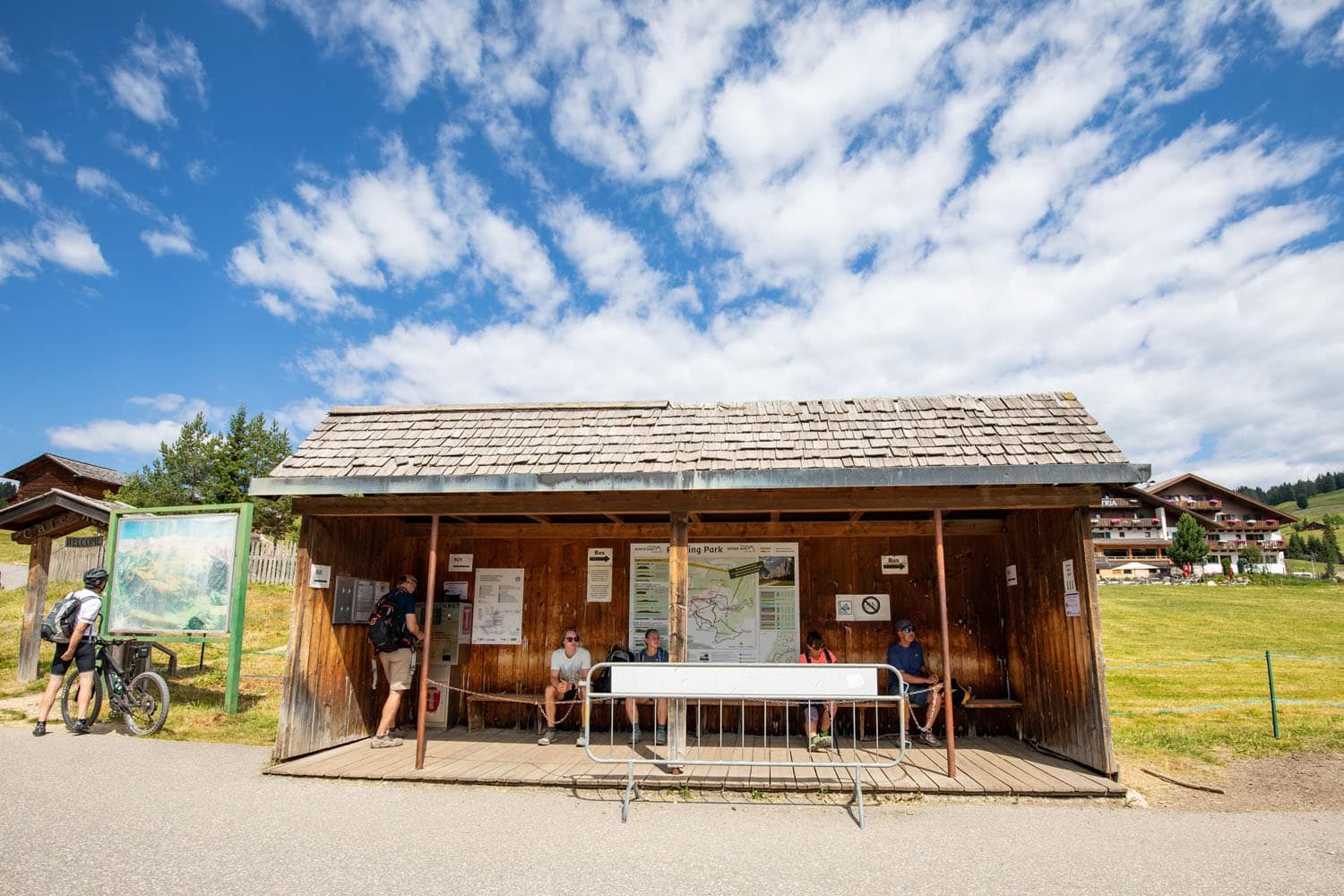
Saltria bus stop
What We Would Do Differently at Alpe di Siusi
We knew very little about what to do in Alpe di Suisi before our visit. For example, we knew nothing about the Florian chairlift until we saw it on our walk to Saltria.
Our experience, the easy walk to Saltria and visiting Williamshütte, was great, but if I did it again, I’d do a few things differently.
If I did the walk the same way, I’d start later in the day, ideally around lunchtime. That gives enough time for the rifugios to open and I think the lighting would be better for photos of Sassolungo. However, to arrive midday, you will have to ride the Seiser Alm Aerial Cableway from Seis/Suisi.
If you are an avid hiker, I’d recommend the hike up to Sasso Piatto rather than the easy stroll through Alpe di Siusi. From Compatsch, ride the bus to Saltria. From Saltria, ride the chairlift to Williamshütte and then hike to Sasso Piatto. Later in the day, you could have lunch or an early dinner at Williamshütte or in Saltria.
The Rauch Hütte also looks like an amazing place to have a meal and the views of Sassolungo from here are phenomenal.
If you have visited Alpe di Siusi and have an experience you would like to share, let us know in the comment section below.
Plan Your Trip to Italy
We have TONS more information about Italy in our Italy Travel Guide, including Rome, Florence, Venice, Tuscany, the Dolomites, the Amalfi Coast, the Cinque Terre, Sicily, and Puglia.
What We Wish We Knew Before Visiting the Dolomites
Pinterest Facebook Flipboard The Dolomites. This is where jagged pinnacles of rock soar into the sky, mountain huts and cabins dot the green, rolling hills, cable cars whisk hikers and skiers to the highest mountain peaks, and hiking trails connect small hamlets and towns. It’s easy to fall in love with the photos. Planning a […]
Exactly How to Visit Lago di Braies in 2026 (Photos & Helpful Tips)
Lago di Braies (Pragser Wildsee) is one of the most beautiful lakes in the Dolomites, but visiting it requires planning. In this guide, you’ll learn the best time to go, how parking and access restrictions work in 2026, how to avoid the worst crowds, and whether Lago di Braies is actually worth visiting. This crystal-clear […]
15 Best Hikes in the Dolomites (Easy to Challenging)
Jagged limestone peaks rise above green valleys, cable cars make it easy to reach the high mountains, and many trails lead to rifugios where you can stop for lunch with an incredible view. The Dolomites are one of the best hiking destinations in Europe, and this guide ranks the 15 best hikes in the Dolomites, […]
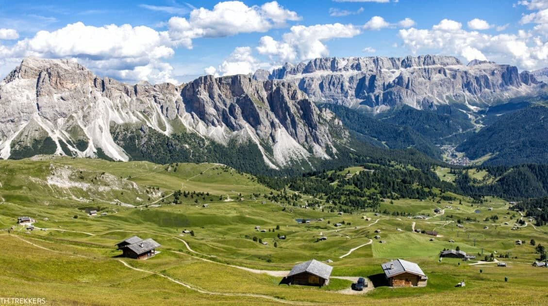
15 Surprising Things to Do in the Dolomites That Aren’t Hiking
We have traveled to the Dolomites twice, spending 12 days exploring alpine lakes, mountain passes, and hiking trails. This guide features the very best things to do in the Dolomites that require minimal or no hiking, based on our personal experiences. It’s no secret that the Dolomites are a great place to go hiking. But […]
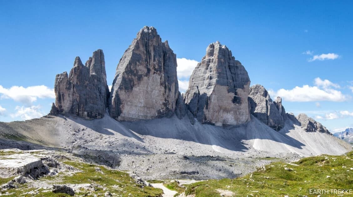
Tre Cime di Lavaredo Hike: Step-By-Step Trail Guide, Parking & Map
The Tre Cime di Lavaredo trail is one of the most iconic hikes in the Italian Dolomites, featuring a scenic loop trail that circles three dramatic limestone peaks. We’ve hiked Tre Cime on multiple trips to the Dolomites, including peak summer season when parking restrictions were in place. The first time we did this hike, […]
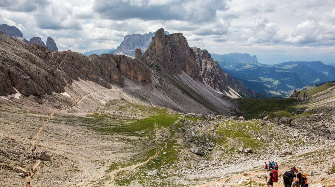
Hiking the Amazing Puez-Odle Altopiano in the Dolomites
The Puez-Odle Altopiano trail is a 17 km (10.6 mile) hike along some of the highest mountain peaks in the Dolomites. We hiked this lesser-known trail on our first trip to the Dolomites and it is a spectacular hike from start to finish. With jaw-dropping views of the Dolomites, fields of wildflowers, and endless alpine […]
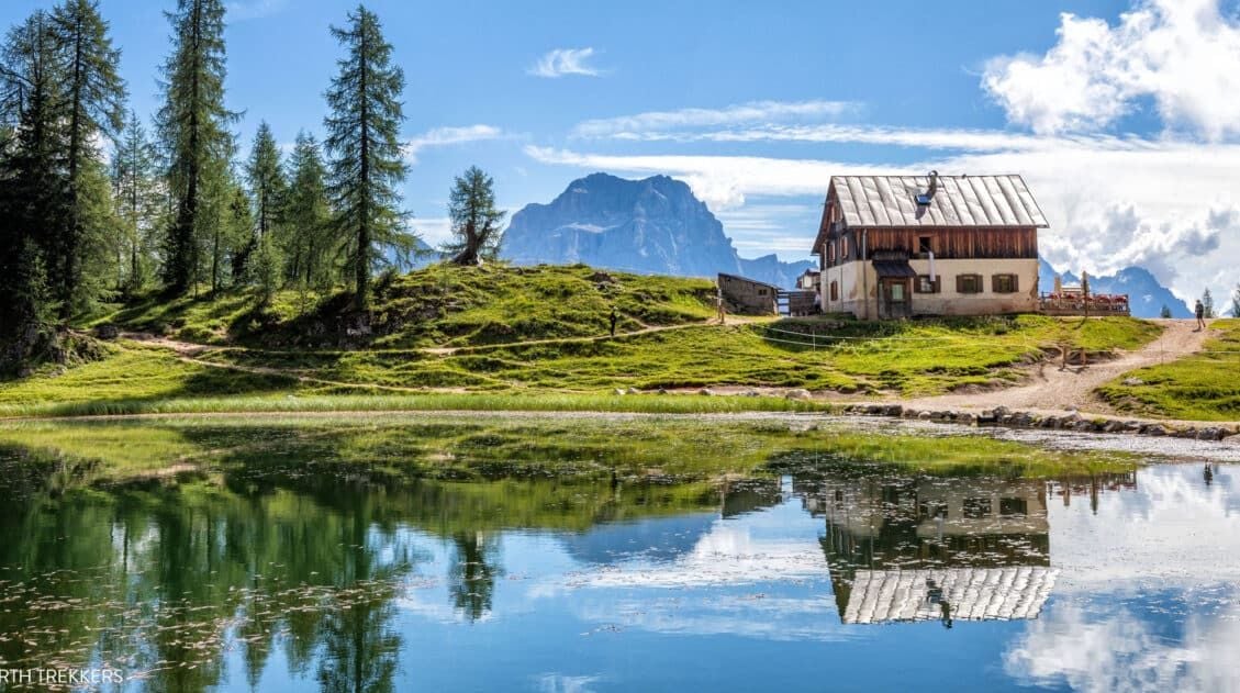
Croda da Lago Circuit Hike (+ Lago Federa & Forcella Ambrizzola)
The Croda da Lago Circuit is one of the most underrated hikes that we did in the Dolomites. We’ve explored this region on multiple trips and hiked many of its classic trails, and this loop still stands out for its variety: soaring limestone peaks, quiet alpine meadows, and the impossibly photogenic Lago Federa tucked beneath […]
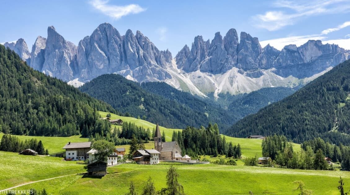
Dolomites Itinerary: Mix-and-Match Daily Plans for 3 to 10 Days
Planning a Dolomites itinerary can feel overwhelming. With its towering peaks, storybook alpine villages, epic hikes, and scenic drives around every corner, how do you decide what’s worth your time? In this guide, we make it simple. We break the Dolomites into easy, day-by-day itineraries that you can mix and match to build your perfect […]
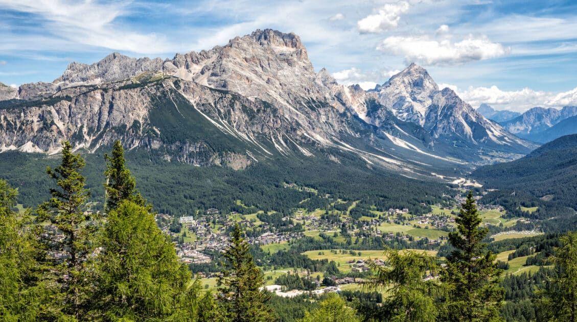
Where to Stay in the Dolomites (2026 Guide to the Best Towns & Hotels)
Wondering where to stay in the Dolomites? It’s one of the most important decisions you’ll make when planning your trip. This region may look small on a map, but winding alpine roads and high mountain passes mean travel times are longer than expected. Stay in the wrong town and you could spend hours driving instead […]
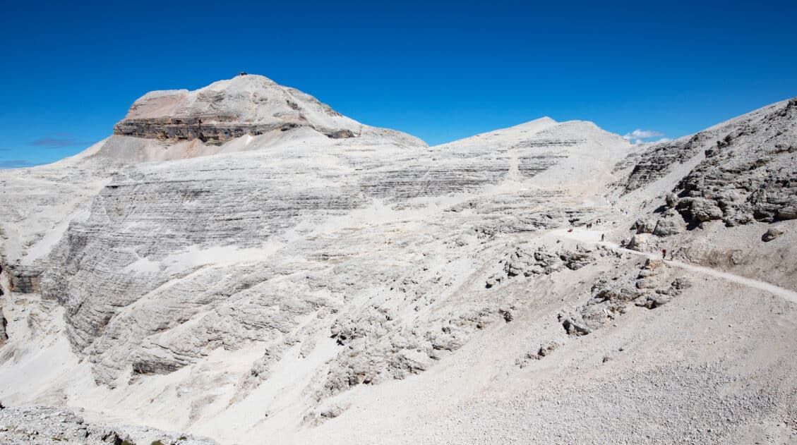
Piz Boè Hiking Guide: Map, Hiking Stats, Trail Guide & Photos
Piz Boè is considered to be one of the easiest summits over 3,000 meters (10,000 feet) in the Dolomites. This is largely because you have the option to take a cable car to skip the majority of the exhausting climb. We hiked Piz Boè on our second trip to the Dolomites. Our day started in […]
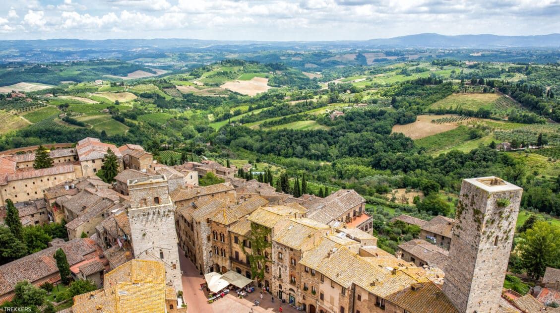
20 Gorgeous Views of Italy and Where to Photograph Them
Italy is one of the most photogenic countries in the world, and after six trips here, we’ve stood at a lot of viewpoints, from clifftop villages in Tuscany to the jagged peaks of the Dolomites to the canals of Venice at twilight. The views never get old. In this guide, we share 20 of our […]
One Day in Venice: 3 Different Ways to Plan Your Itinerary
One day in Venice itinerary: 3 different ways to plan your time, whether you want the top sights, the quiet canals, or a mix of both. If you are planning to spend one day in Venice, there are several ways to do it. Do you want to spend the day visiting the top sights in […]
Italy Travel Guide: How to Plan a Trip to Italy
Italy Travel Guide From the ruins of ancient Rome to the hiking trails of the Dolomites, the trulli of Puglia to the hilltop villages of Tuscany, Italy is a country that rewards every kind of traveler, and keeps pulling you back. We’ve traveled to Italy six times, exploring the country from the lakes and mountains […]


Comments 35