Piz Boè is considered to be one of the easiest summits over 3,000 meters (10,000 feet) in the Dolomites. This is largely because you have the option to take a cable car to skip the majority of the exhausting climb.
This hike starts at Passo Pordoi. From here, ride a cable car to Sass Pordoi and then it is a relatively short but strenuous hike to Piz Boè. Piz Boè is the highest peak in the Sella Group of the Italian Dolomites, and the panoramic views from this peak are breathtaking.
In this guide, we cover how to hike to Piz Boè and whether or not it is worth the effort.
Why Should You Hike to Piz Boè?
At 3,152 meters (10,341 feet), Piz Boè is the highest mountain of the Sella Group in the Dolomites. It is considered to be one of the easiest summits to hike to that is over 3,000 meters.
From the top of Piz Boè, you have 360° views of the Dolomites. It’s one of the best high alpine views we had in all of the Dolomites.
How to Get to the Trailhead
The hike to Piz Boè begins at Passo Pordoi, the highest pass in the Dolomites.
You can hike all the way to the top of Piz Boè from Passo Pordoi, but this would be a very challenging climb. Instead, we recommend you ride the cable car to the top of Sass Pordoi and then begin the hike from there. The cable car will take you past most of the ascent, but you will still have a fair climb to reach Piz Boè
Cable Car from Passo Pordoi to Sass Pordoi
There is a very large parking lot at Passo Pordoi. Despite its large size, finding a parking spot here midday can be a challenge, so if you are here at this time, have patience. The best time to hike to Piz Boè is early in the day when crowds are lower.
Walk across the street and at the bottom station of the cable car, purchase your tickets. When we did this in July 2022, we did not have to wait in line for tickets or to board the next cable car.
- Hours of Operation: During the summer season (late May through early November) the hours are operation are from 9:00 to 17:00.
- Cost: 28€ for a round trip ticket
- Get updated hours and pricing here (Passo Pordoi – Sass Pordoi n. 103 cable car)
One cable car connects Passo Pordoi to Sass Pordoi. Once on Sass Pordoi, you are standing on the “Terrace of the Dolomites.” At this point you are standing at 2,950 meters (9,700 feet).
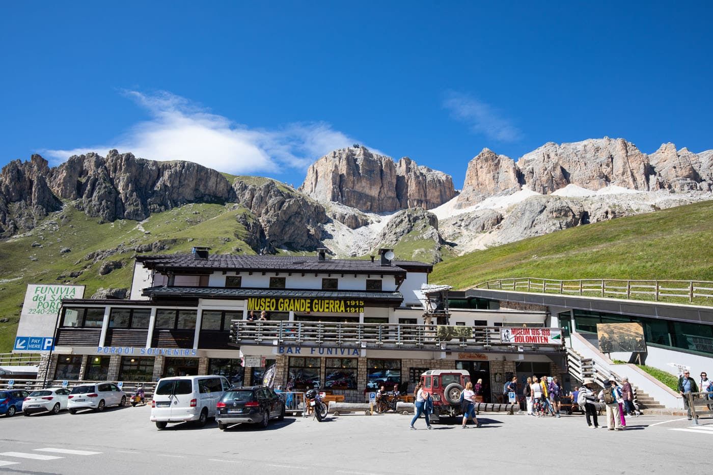
Passo Pordoi cable car station
Views from Sass Pordoi and the Upper Cable Car Station
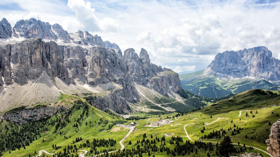
From the cable car station at Sass Pordoi, you already get a stunning view over this region of the Dolomites. You can look down on Passo Pordoi and the twisting road that you drove to reach the pass. Beyond, endless layers of massive mountains rise out of the ground.
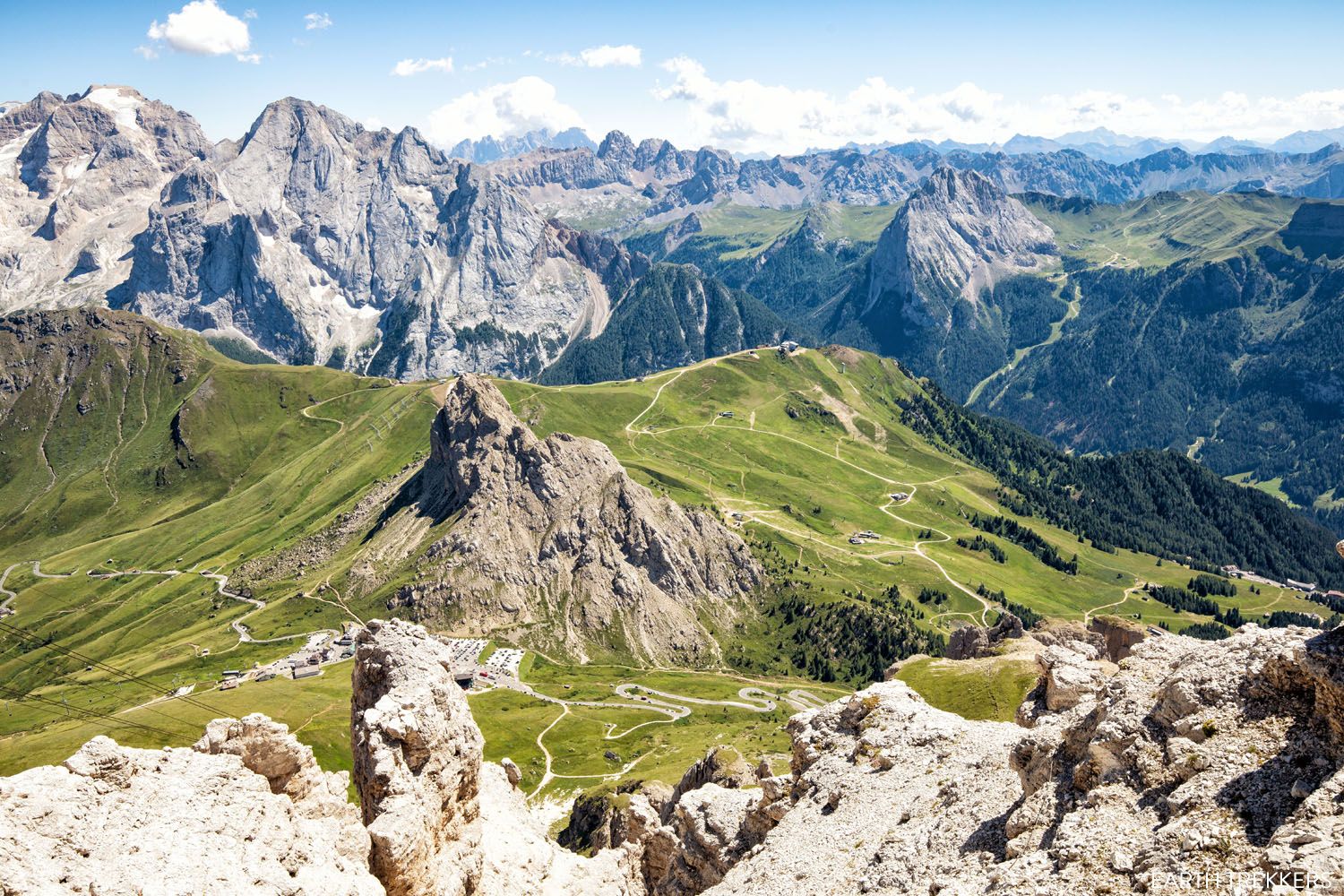
The view over Passo Pordoi and Val di Fassa from Sass Pordoi
From this point, you are looking out over Val di Fassa, a valley that runs between the Sassolungo, the Sella Massif, and Marmolada. When the skies are clear, you can even see the Swiss and Austrian Alps.
At the cable car station, you can order some food and drinks to enjoy as you admire the view. Or, you can begin the hike to Piz Boè.
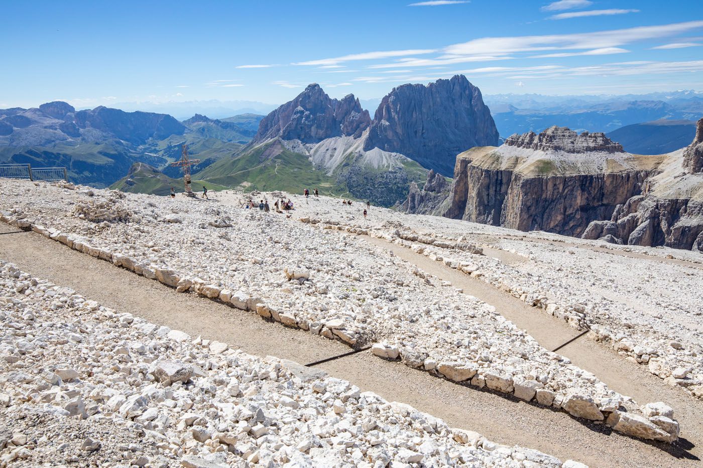
Near the cable car station are some gravel trails that lead out to views of Sassolungo.
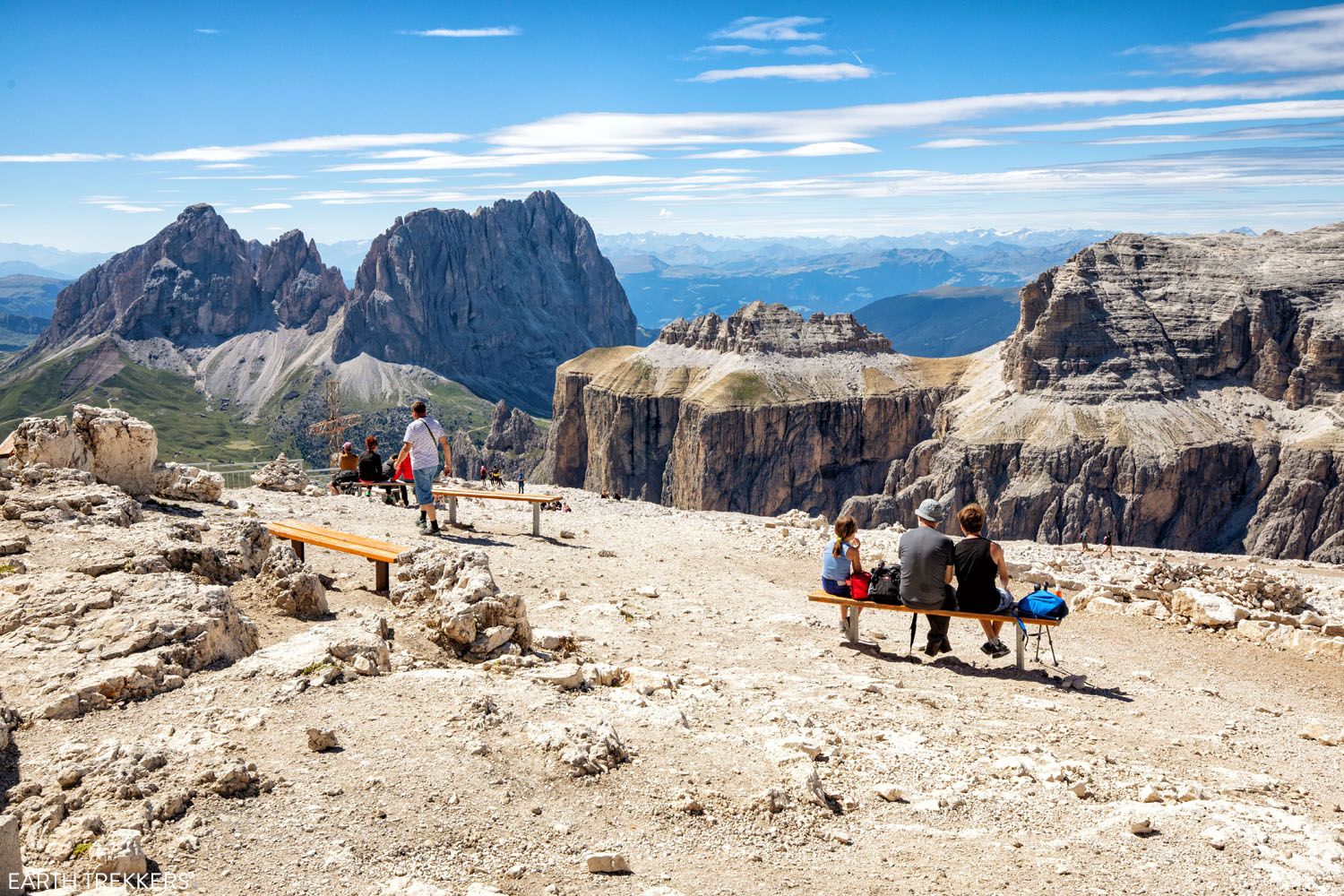
Here is the view.
From the terrace next to the cable car station, you can see Piz Boè. It is the rifugio at the top of the rocky slope off in the distance.
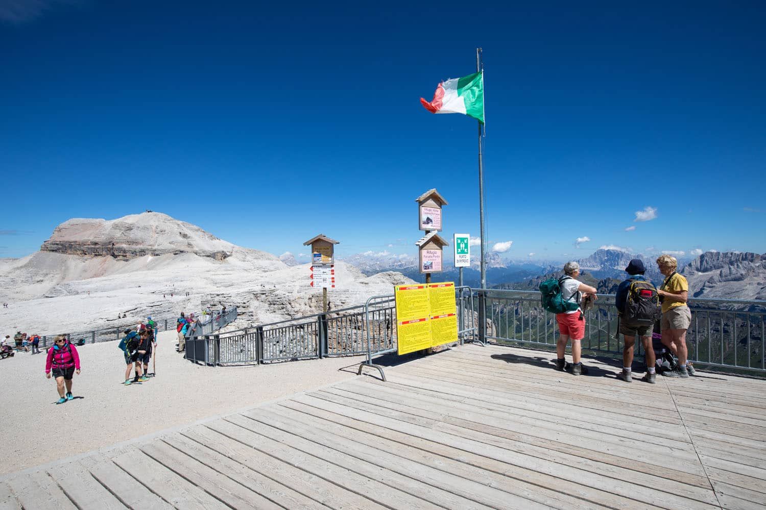
“Terrace of the Dolomites.” Piz Boè is the rocky mountain in the distance.
Piz Boè Hiking Stats
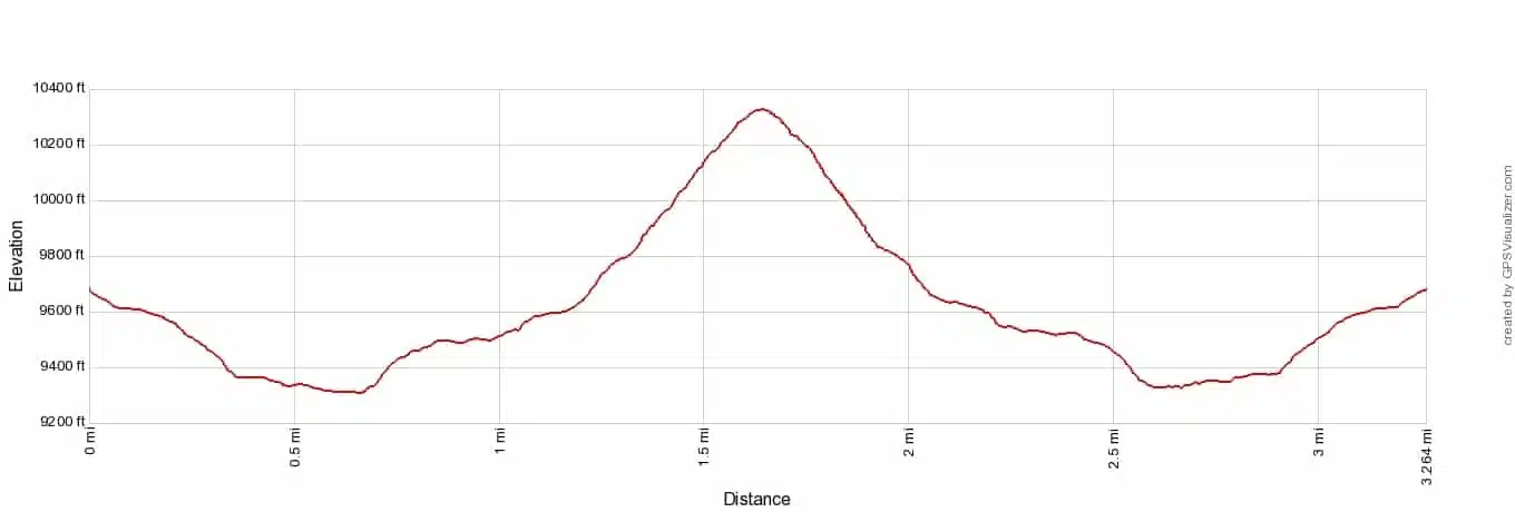
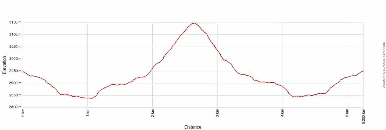
Distance: 5.3 km (3.3 miles) out-and-back
Difficulty: Moderate
Total Ascent: 430 meters (1,410 feet)
Lowest Elevation: 2,835 meters (9,300 feet)
Highest Elevation: 3,152 meters (10,335 feet)
Time: 2 to 3.5 hours
Piz Boè hike elevation profile
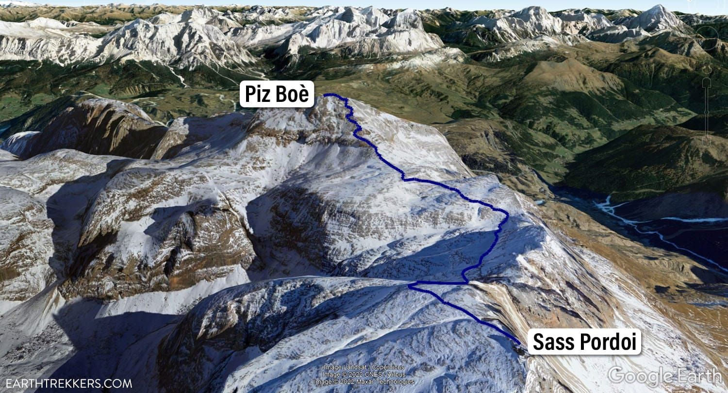
Piz Boè map
Please practice the seven principles of Leave No Trace: plan ahead, stay on the trail, pack out what you bring to the hiking trail, leave areas as you found them, minimize campfire impacts, be considerate of other hikers, and do not approach or feed wildlife.
How to Hike to Piz Boè
Step-By-Step Trail Guide
Piz Boè Trailhead
The trailhead for this hike is located next to the Sass Pordoi cable car station. Look for the hiking signs pointing towards Piz Boè. You will follow signs for trail #627A.
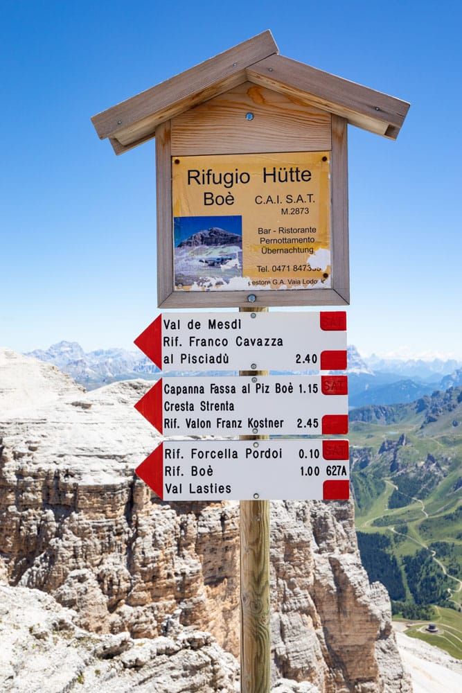
Trailhead to Rifugio Forcella Pordoi
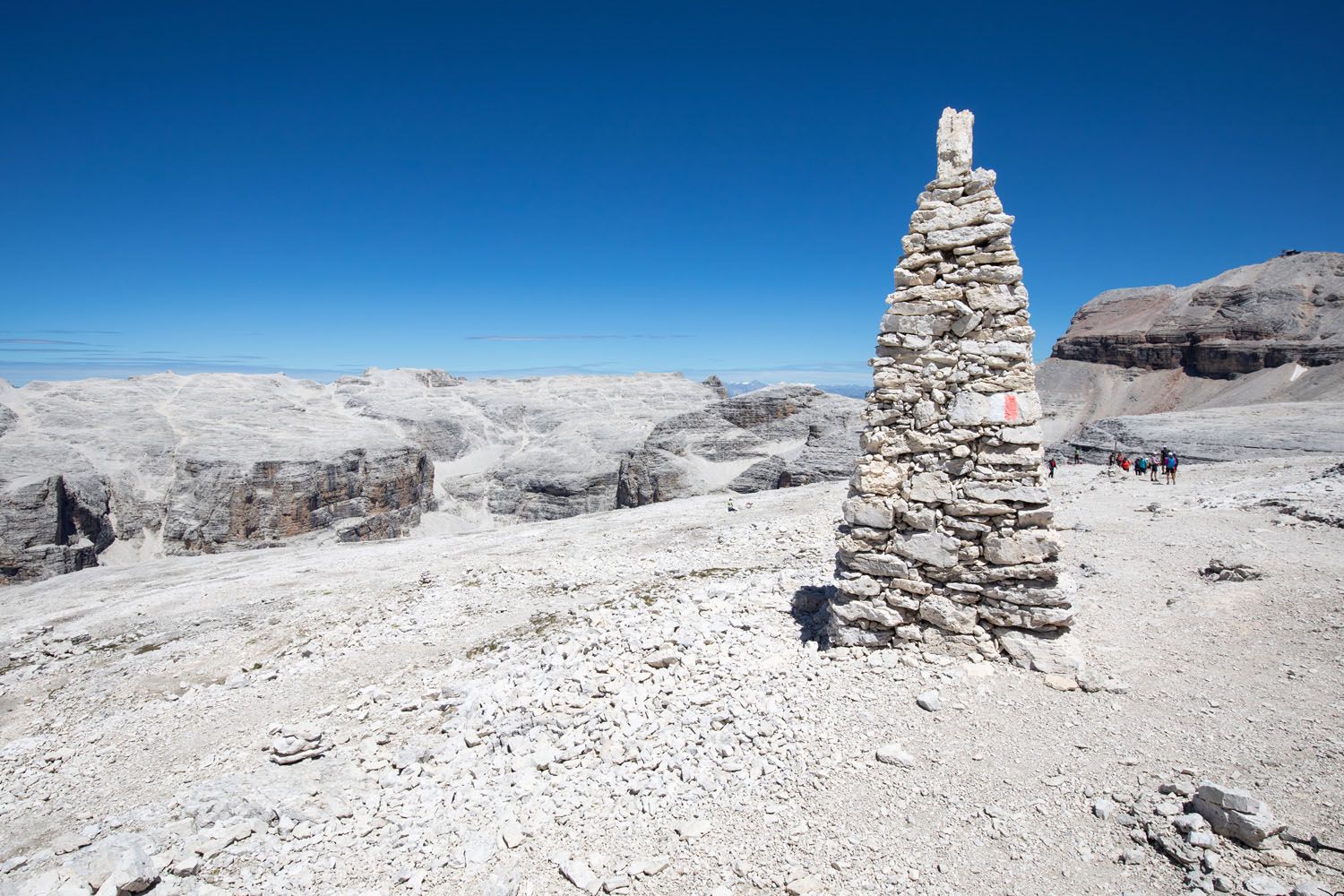
From the trailhead you will walk down a wide gravel path towards two large stone memorials. Once you have passed the two memorials, the trail will become much steeper. Carefully pick your way down the gravel trail.
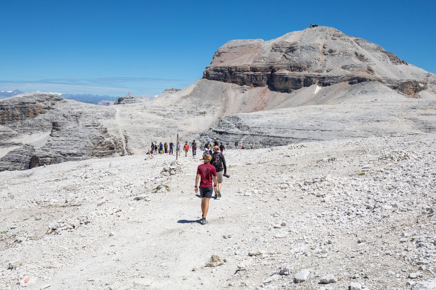
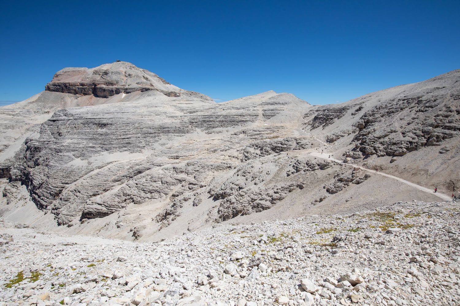
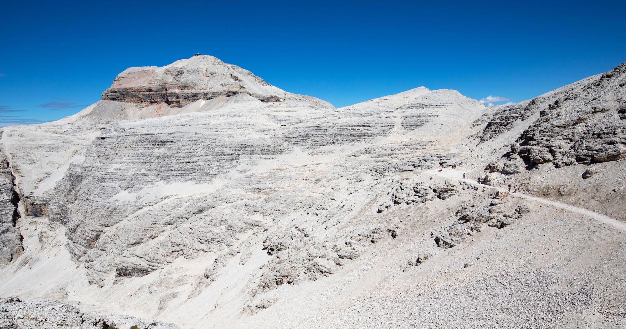
Piz Boè is the tallest peak in this photo and you can see the trail leading to it.
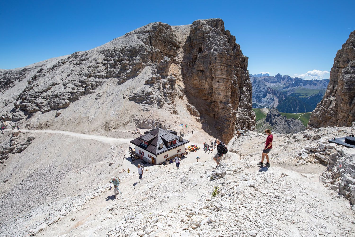
As you head downhill, you will lose sight of the views over neighboring mountains. It will remain this way for the majority of the hike.
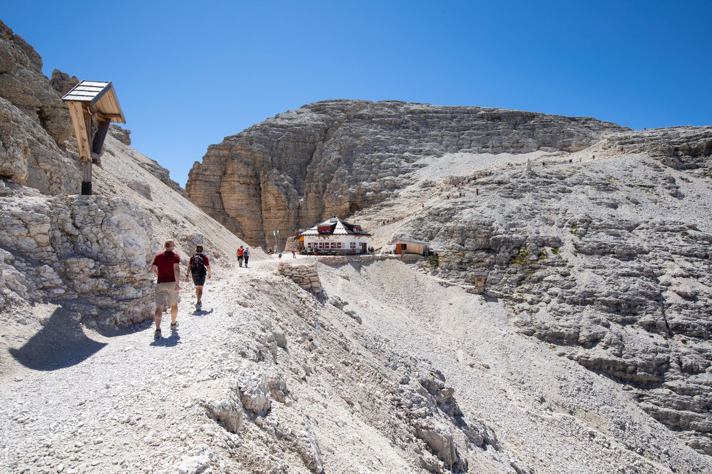
At the bottom of the descent is Rifugio Forcella Pordoi. This is a great spot to grab a bite to eat or drink before moving on. You can also look out between the notch in the mountain at the Pordoi Pass.
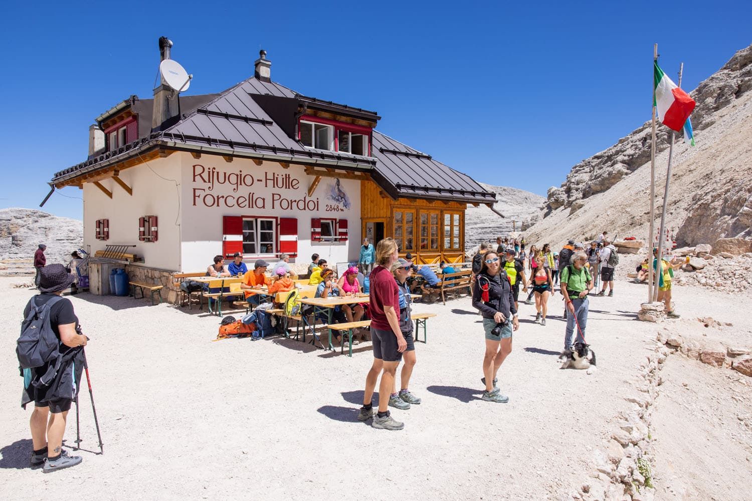
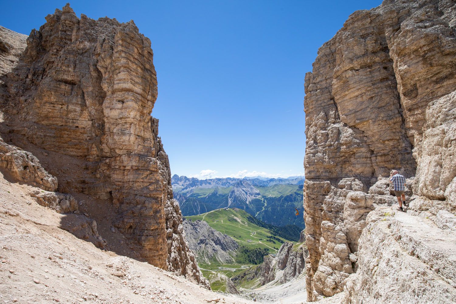
Rifugio Forcella Pordoi to Piz Boè
The trail continues past the rifugio along a flat and rocky terrain. Ahead, you can see the ascent to Piz Boè looming over you. All around, the landscape is a barren wasteland. It feels as though you are walking on the moon!
Just before the start of the ascent there is a trail sign. Follow the trail sign in the direction of Piz Boè. You will hike up a short, steep, gravelly hill and then the trail turns to the left towards Piz Boè.
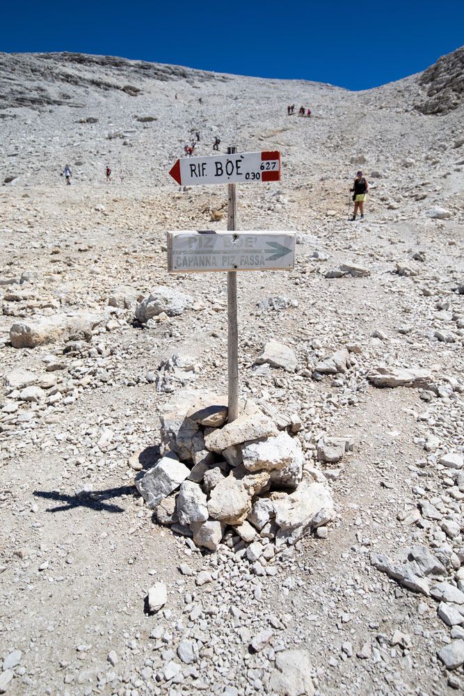
Follow the sign for trail 627 to Piz Boè (go left here).
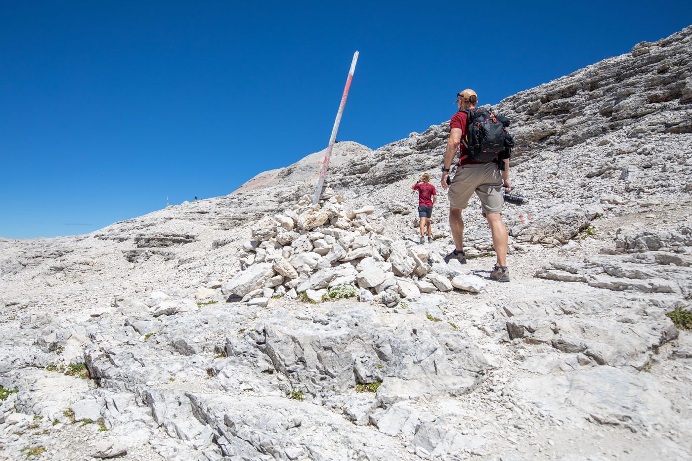
The trail is also marked with these painted posts and rock piles.
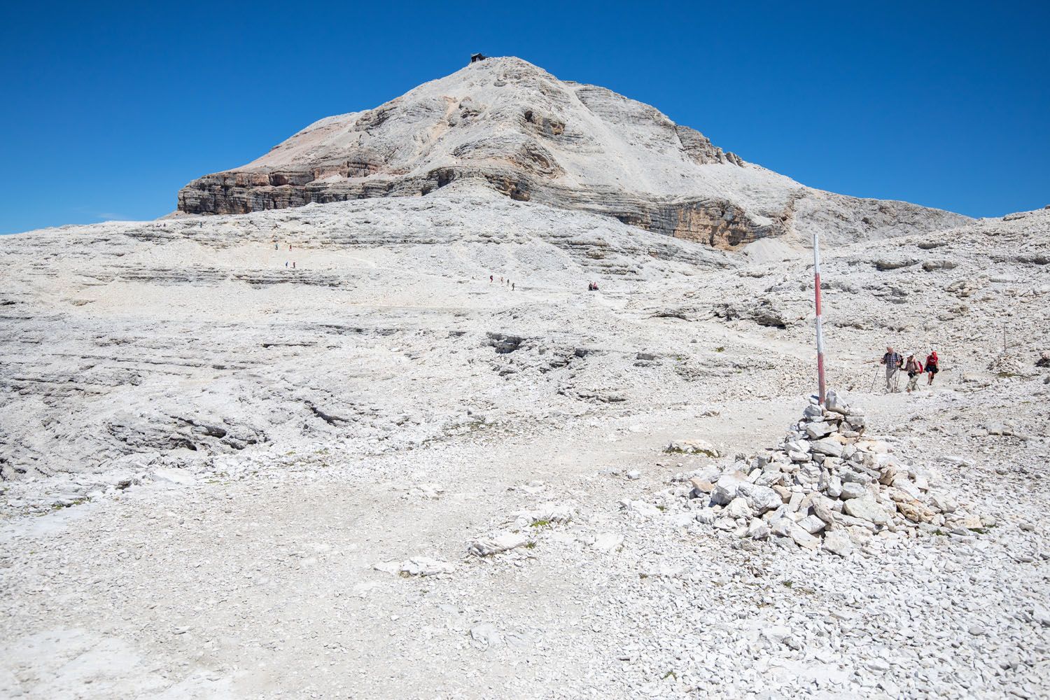
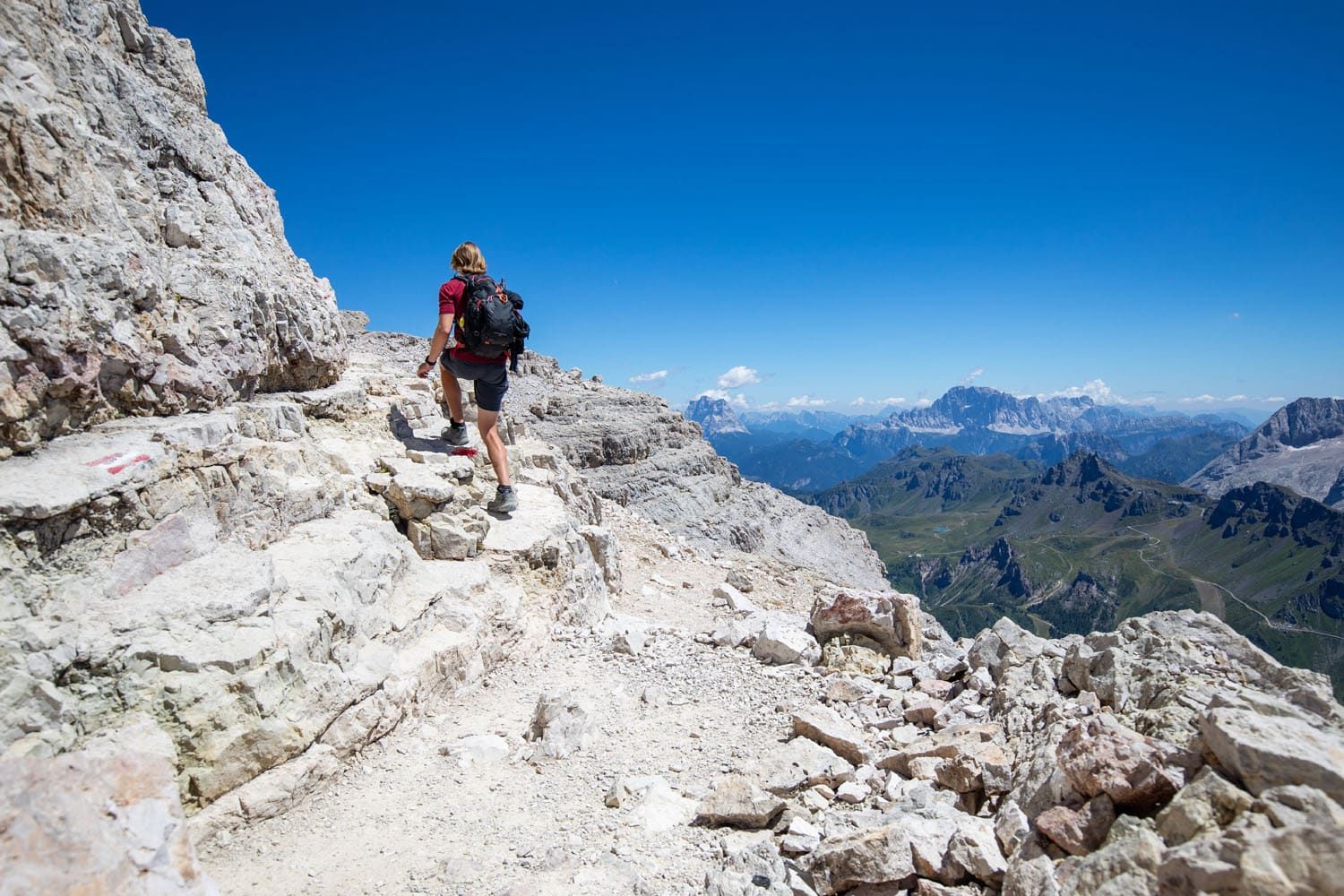
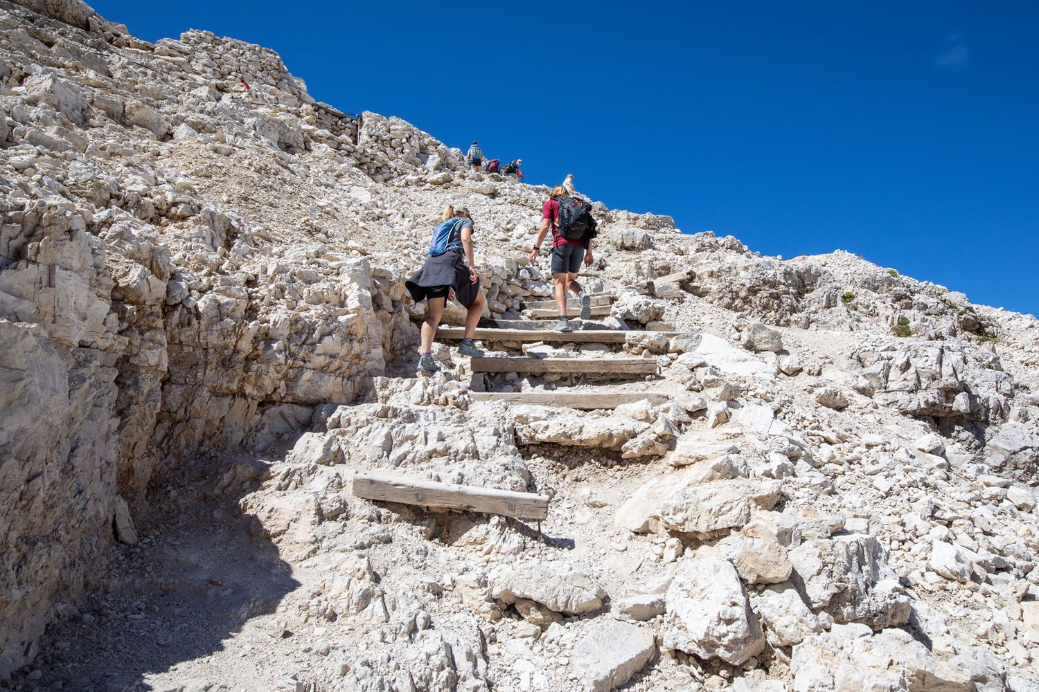
It is a constant uphill hike to Piz Boè. The final climb is the toughest, with rock scrambling, metal rungs, and chains to make your way safer.
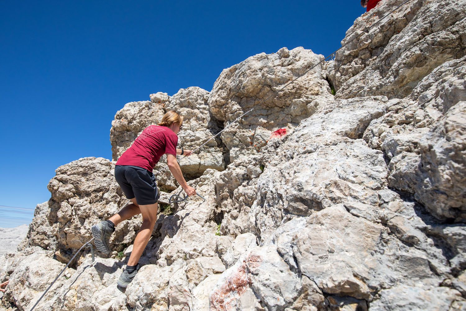
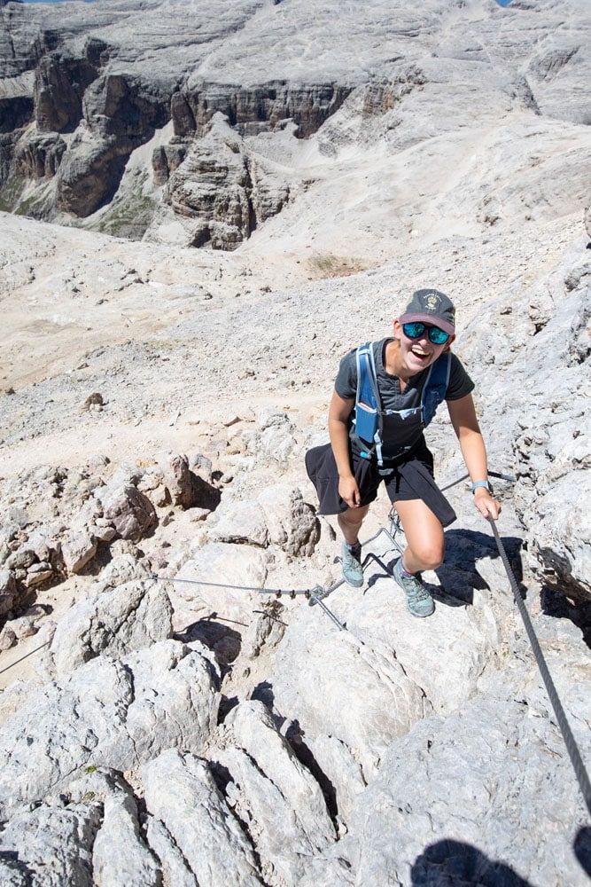
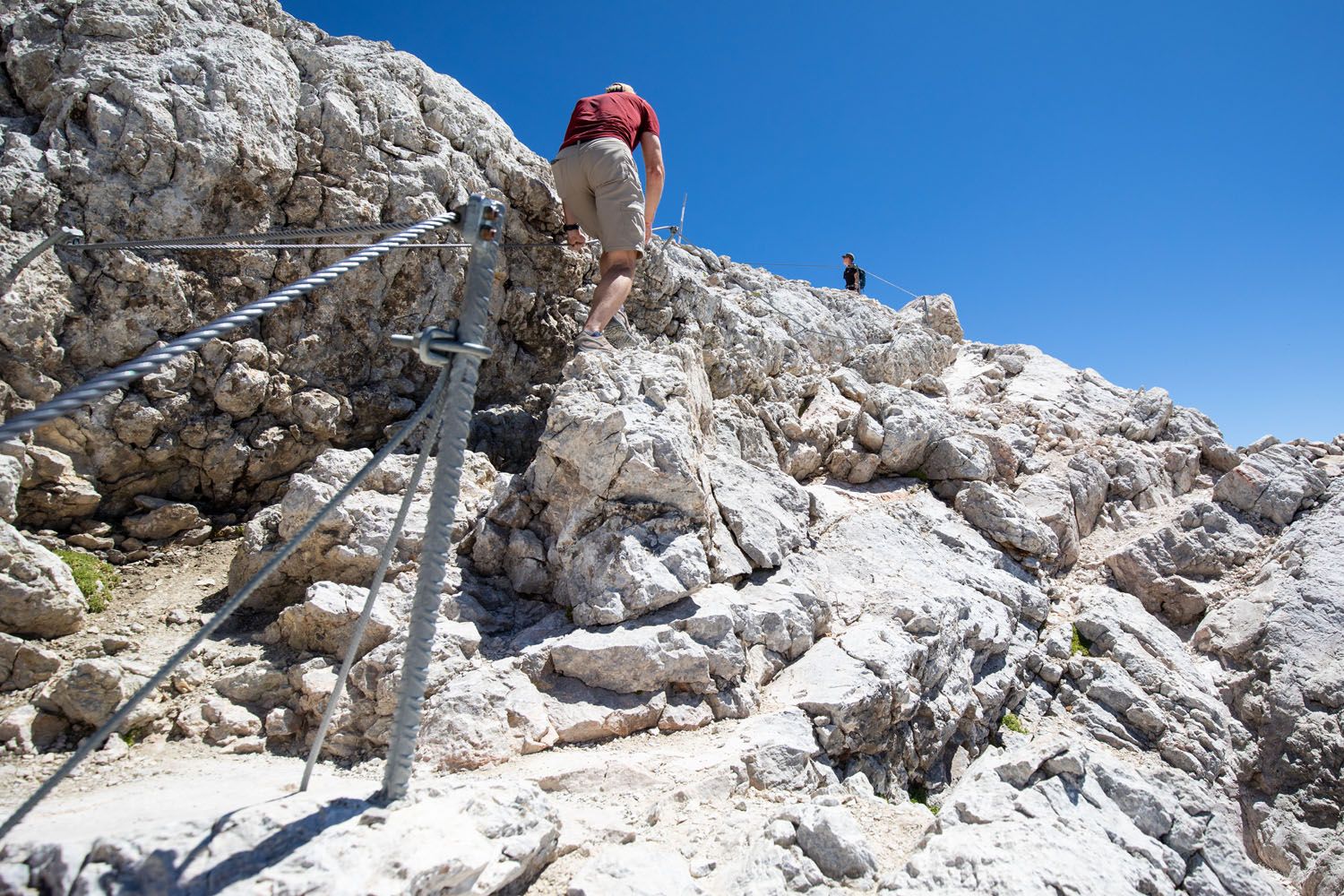
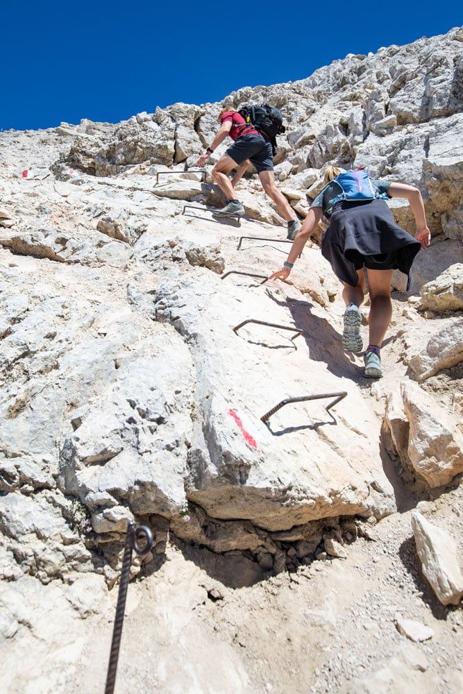
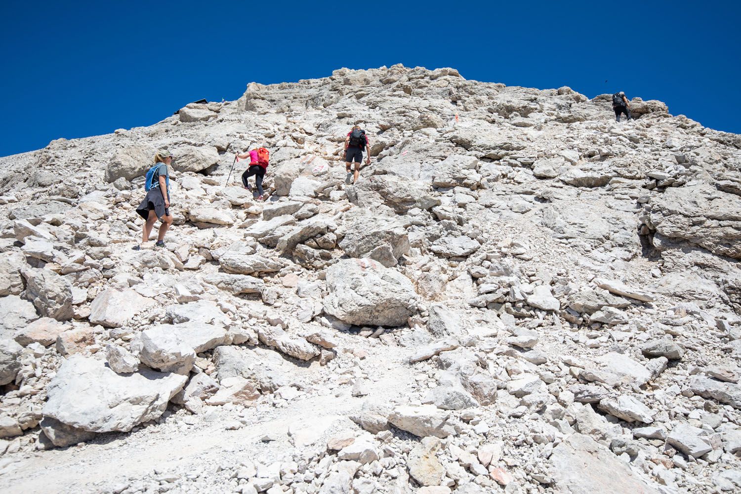
As you climb, the view over the surrounding mountains will open up again.
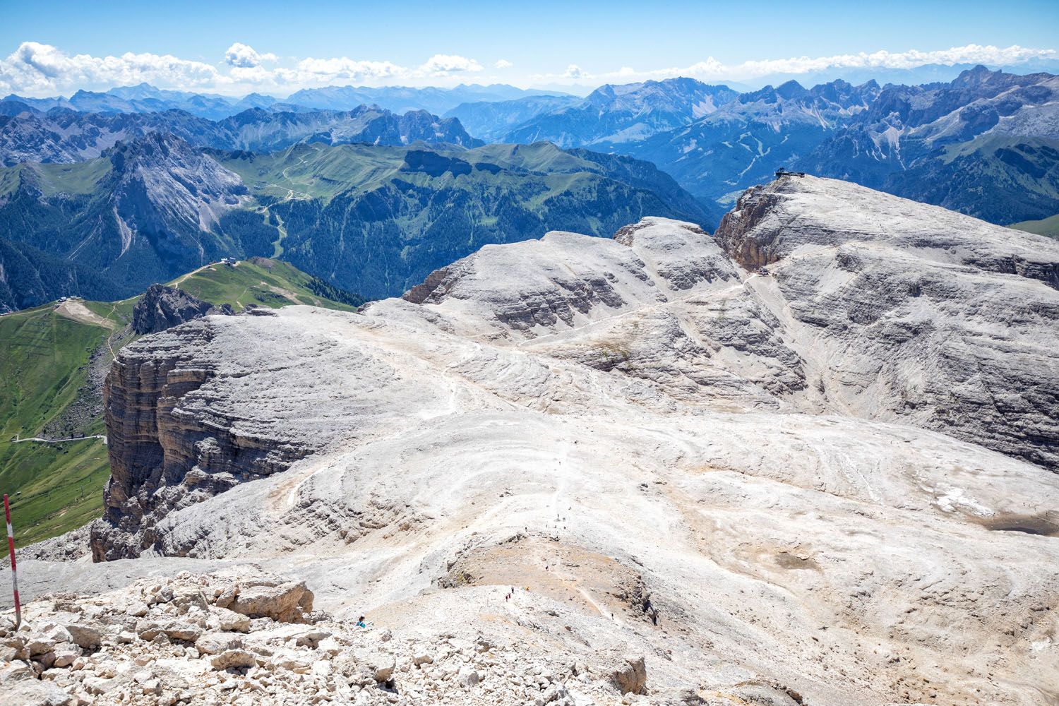
Looking back down at the trail and Sass Pordoi.
Piz Boè Summit
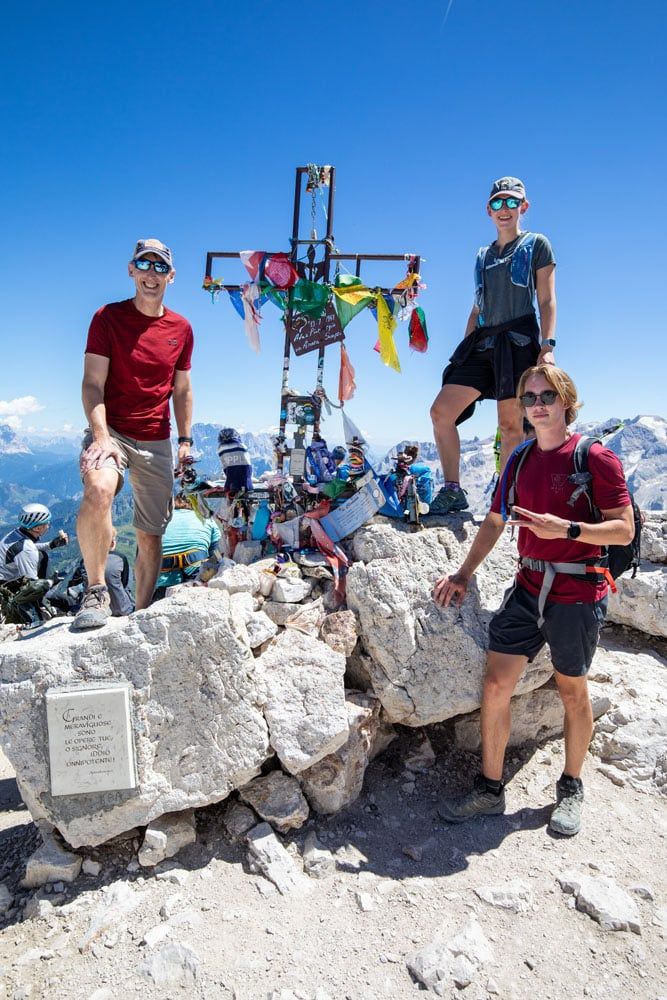
Once at the summit, there is a rifugio here which serves food and drinks. From the terrace, you get an awesome view of the area. You can even order a beer to celebrate your climb!
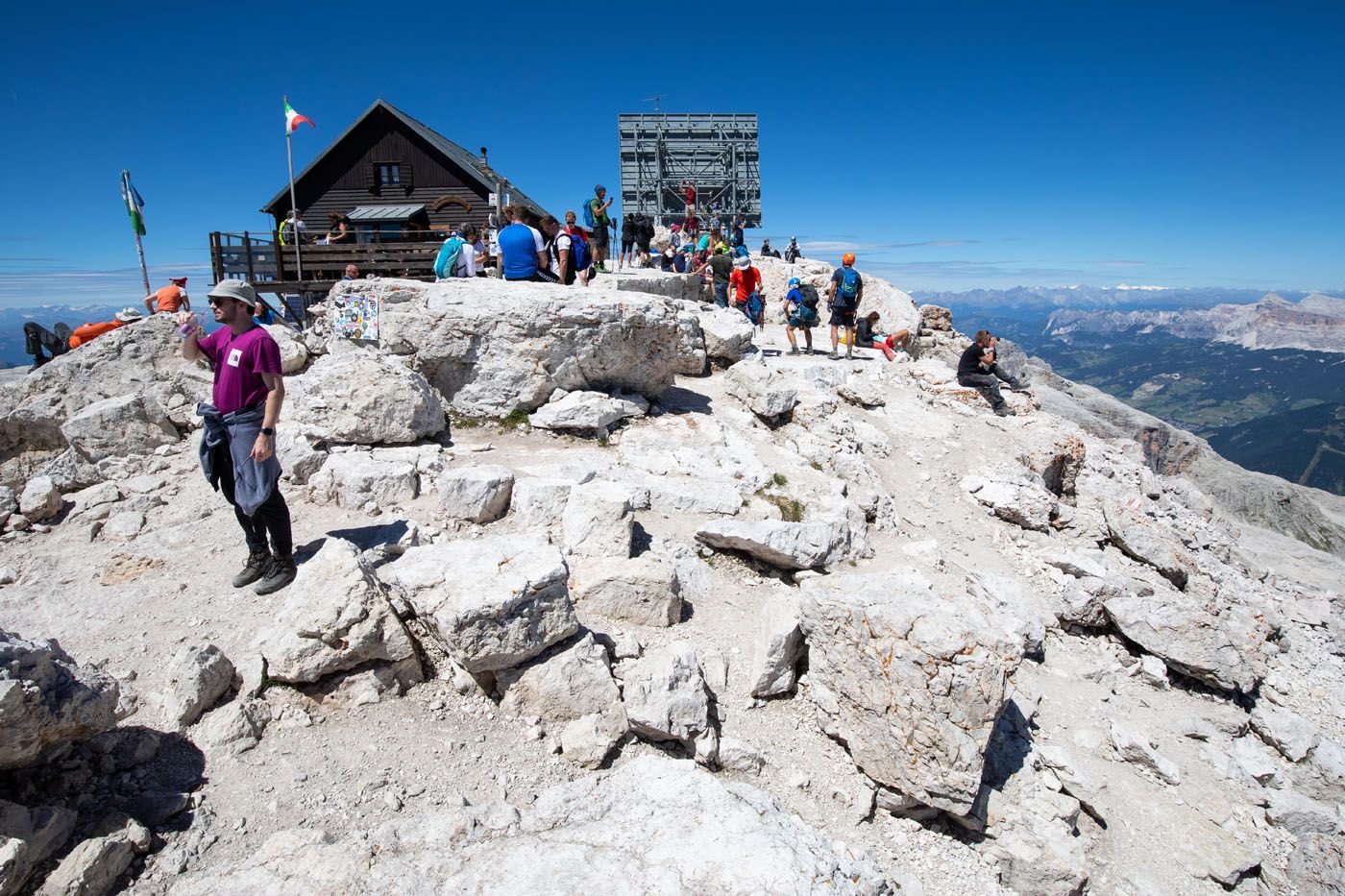
Piz Boè
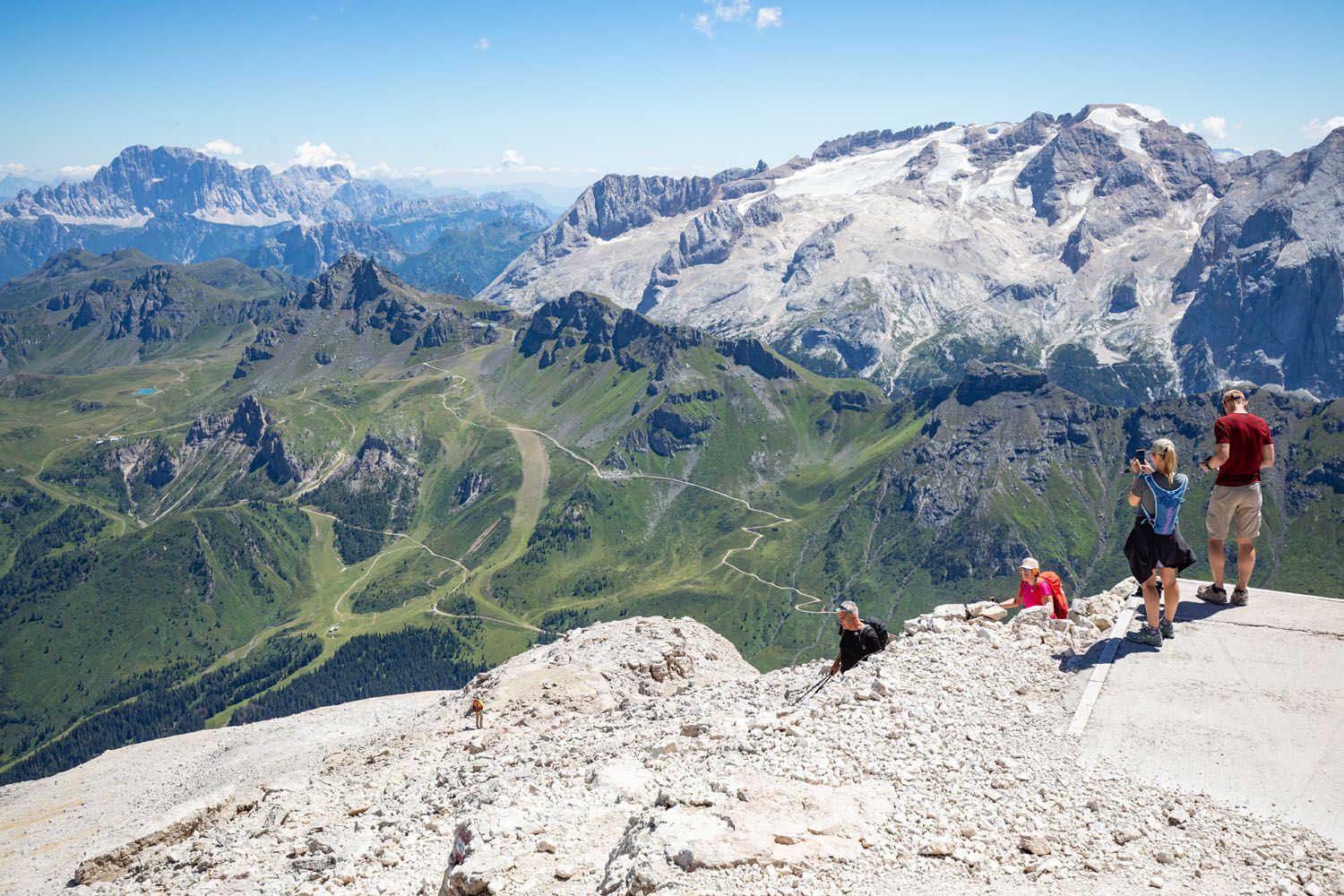
The view of Val di Fassa and Marmolada
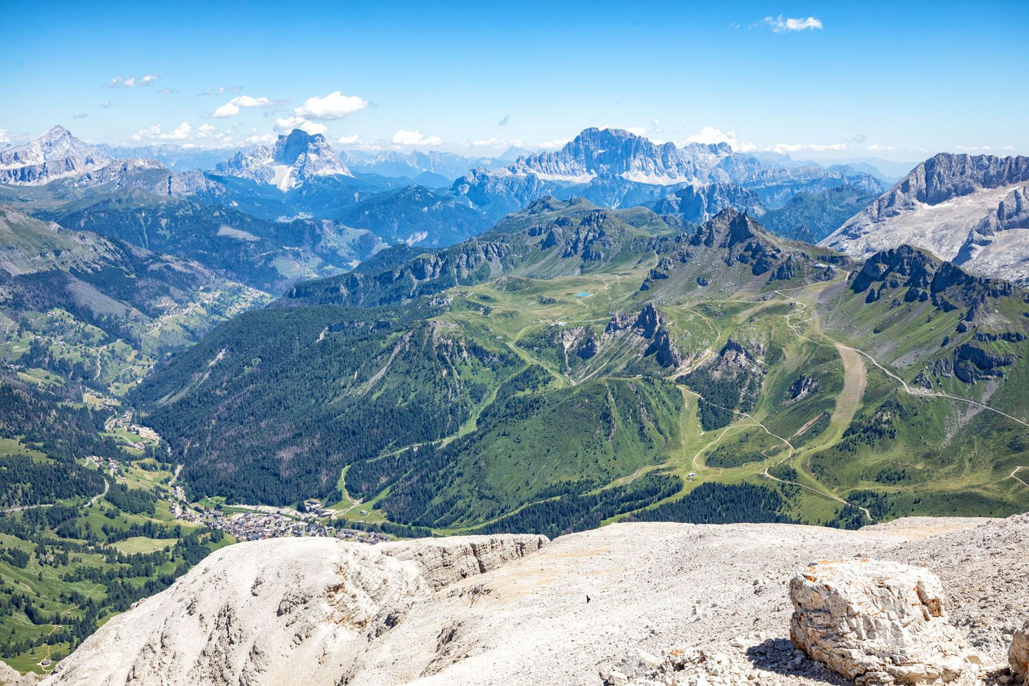
Another view from Piz Boè
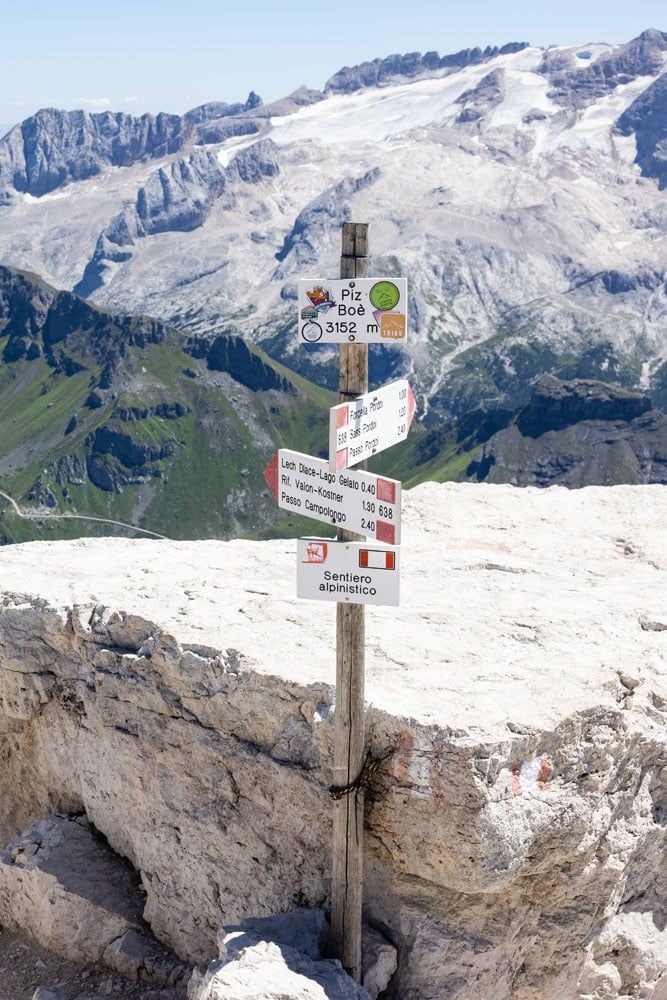
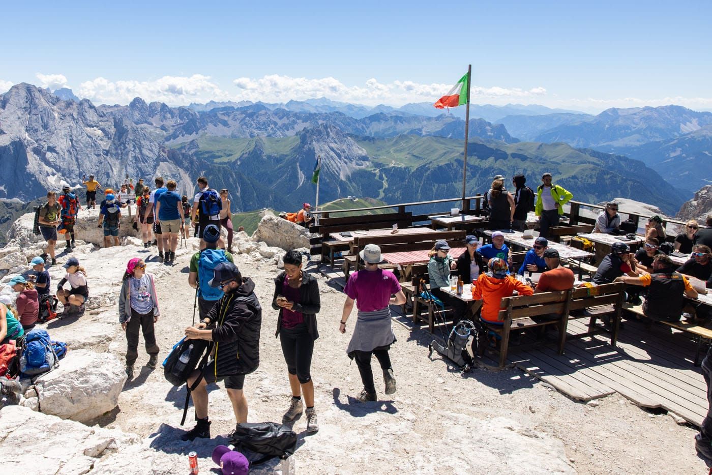
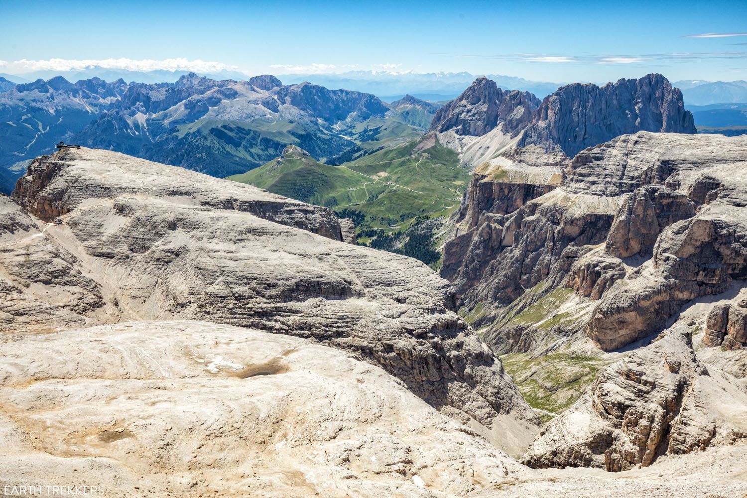
One more view from Piz Boè.
Piz Boè Back to Start
The trail to get back to the cable car is the same as the one taken to reach Piz Boè. Carefully backtrack down the steep mountain slope, to Rifugio Forcella Pordoi, and back up the trail to the cable car. The climb from Rifugio Forcella Pordoi to the cable car station is a long and tiring one, but it is not as steep as the climb up to Piz Boè.
Our Thoughts on the Piz Boè Hike
Piz Boè was a short and enjoyable hike for us, but it was not one of our favorite hikes in the Dolomites. If you are only going to be in the area for a short time, there were other hikes that we liked more this one (on the list are hiking Lagazuoi to Falzarego Pass, the Cadini di Misurina Viewpoint, and the combination of the Cinque Torri with Rifugio Averau and Rifugio Nuvolau).
Although, if you are eager to see the view but do not want to spend much time here, you could skip the hike to Piz Boè and ride the cable car to the top of Sass Pordoi. The view from the cable car station is very similar to the view from Piz Boè.
What to Bring on the Hike
Hiking shoes. You need to wear a pair of hiking shoes or boots for this trail. Parts of the trail run near the edge of a cliff, and with loose gravel and sections of rock scrambling, the trail can be slippery.
Water. I recommend bringing a liter of water per person. It’s not a long hike, but it can be warm in the summer, and it is nice to have some cool water to drink during the hike.
Sunscreen, hat, and sunglasses. The entire trail is fully exposed to the sun.
Essential Hiking Gear: What Should You Bring on a Day Hike?
If you are new to hiking or are curious about what you should bring on a hike, check out our Hiking Gear Guide. Find out what we carry in our day packs and what we wear on the trails.Things to Do Near the Piz Boè Hike
Ride the cable car to Marmolada for more 360° views of the Dolomites. Called the “Queen of the Dolomites,” this is the highest mountain, several hundred meters higher than Piz Boè.
If you like the idea of driving over more passes, near Passo Pordoi is the gorgeous Sella Pass and closer to Marmolada is the Fedaia Pass.
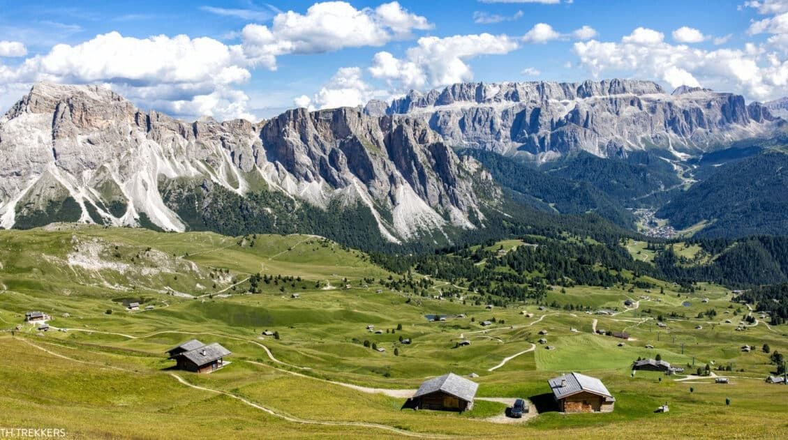
If you like the idea of riding a gondola to another gorgeous viewpoint, from Selva di Val Gardena, ride the Danterceppies gondola to the top. From here, it is a short walk to Rifugio Jimmi and one of our favorite views in the Dolomites (you will be looking at the Sella Group and Piz Boè). This is also the starting point for the Puez-Odle Altopiano hike, our favorite hike in the Dolomites.
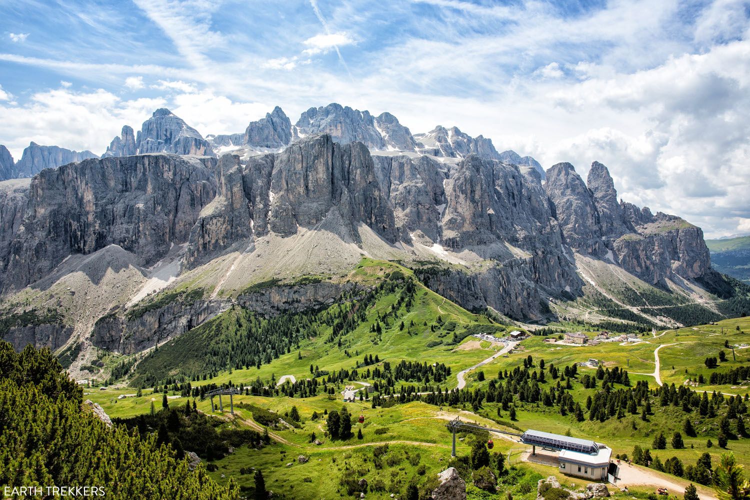
This is the view of the Sella Group (the location of Piz Boè) from the trail near Rifugio Jimmi.
If you have any questions about how to hike to Piz Boe, or if you want to share your experience, let us know in the comment section below.
More Information for Your Trip to Italy
We have TONS more information about Italy in our Italy Travel Guide, including Rome, Florence, Venice, Tuscany, the Dolomites, the Amalfi Coast, the Cinque Terre, Sicily, and Puglia.


Comments 3