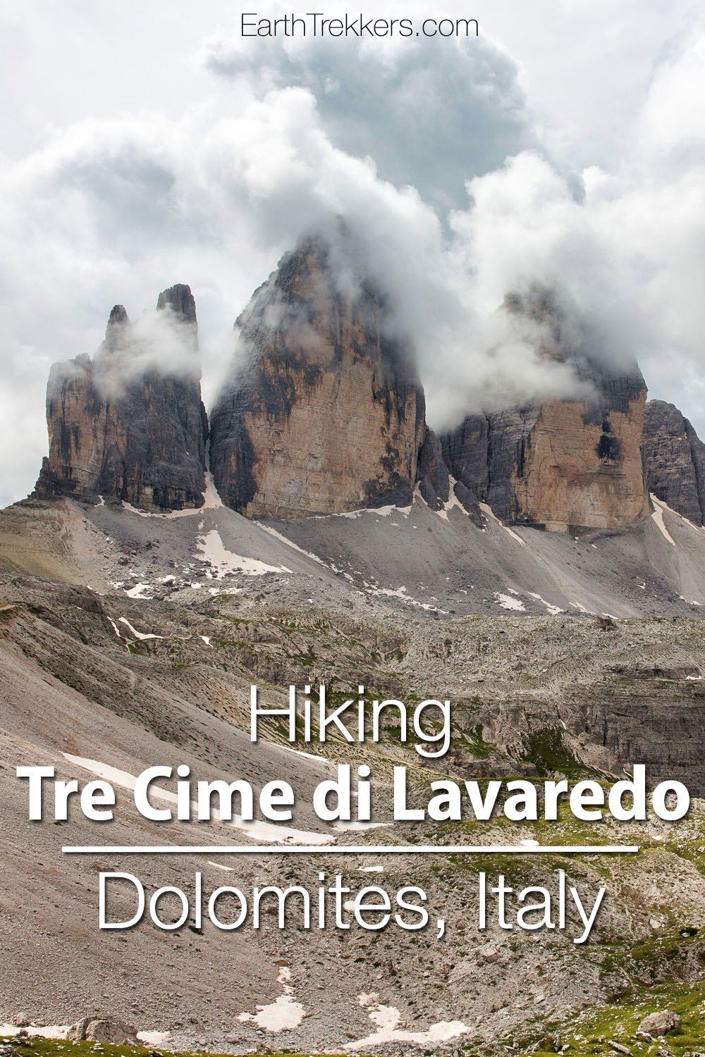
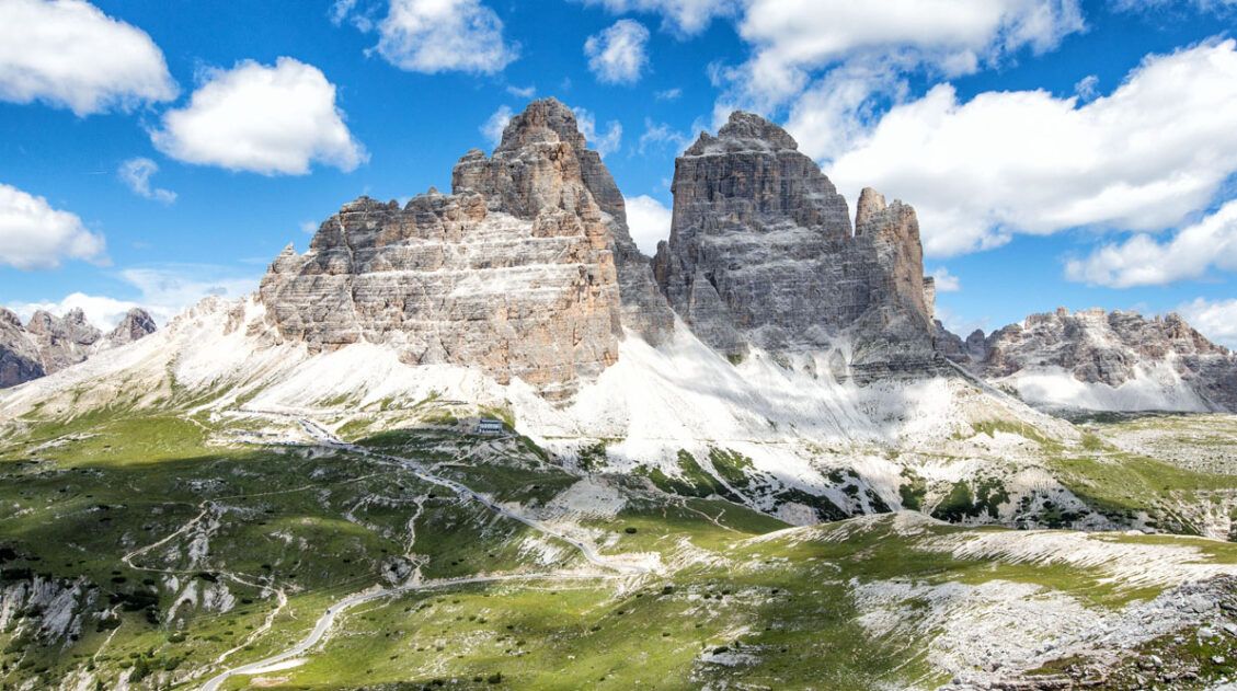
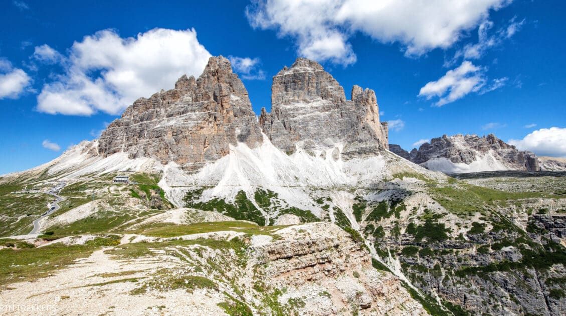
The Tre Cime di Lavaredo hike is one of the Dolomites’ iconic hikes. Three massive rocky prominences rise up from the rolling scenery of the Dolomites, surrounded by amazing views and, during the summer months, wildflowers. In this guide, we cover everything you need to know to hike Tre Cime di Lavaredo.
About Our Experience
We have done the Tre Cime di Lavaredo hike twice. The first time was in 2014, at the start of our around the world trip. On this day, we hiked Tre Cime under cloudy skies and had quite a bit of rain the final third of the hike.
We repeated the hike in July 2022. This time, the weather was much better…crystal clear skies and warm temperatures. It was also much more crowded. This is a popular hike, with a few new rules since our first visit here (there is now a limit on parking and the parking fee is quite expensive…that shows you just how popular this hike has become).
Why You Should Hike Tre Cime di Lavaredo
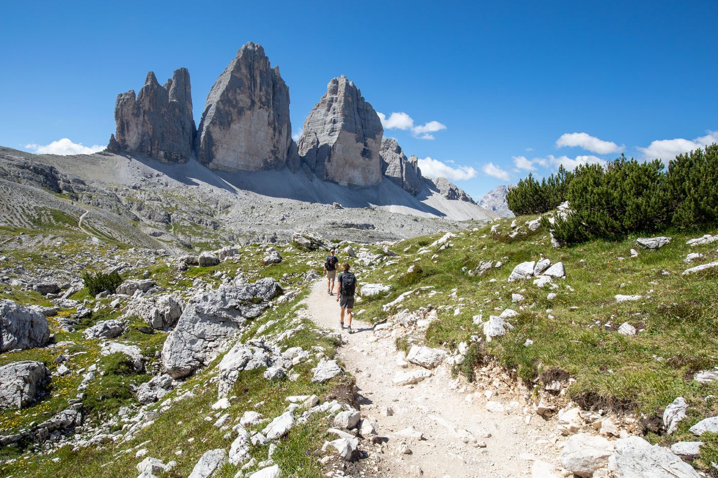
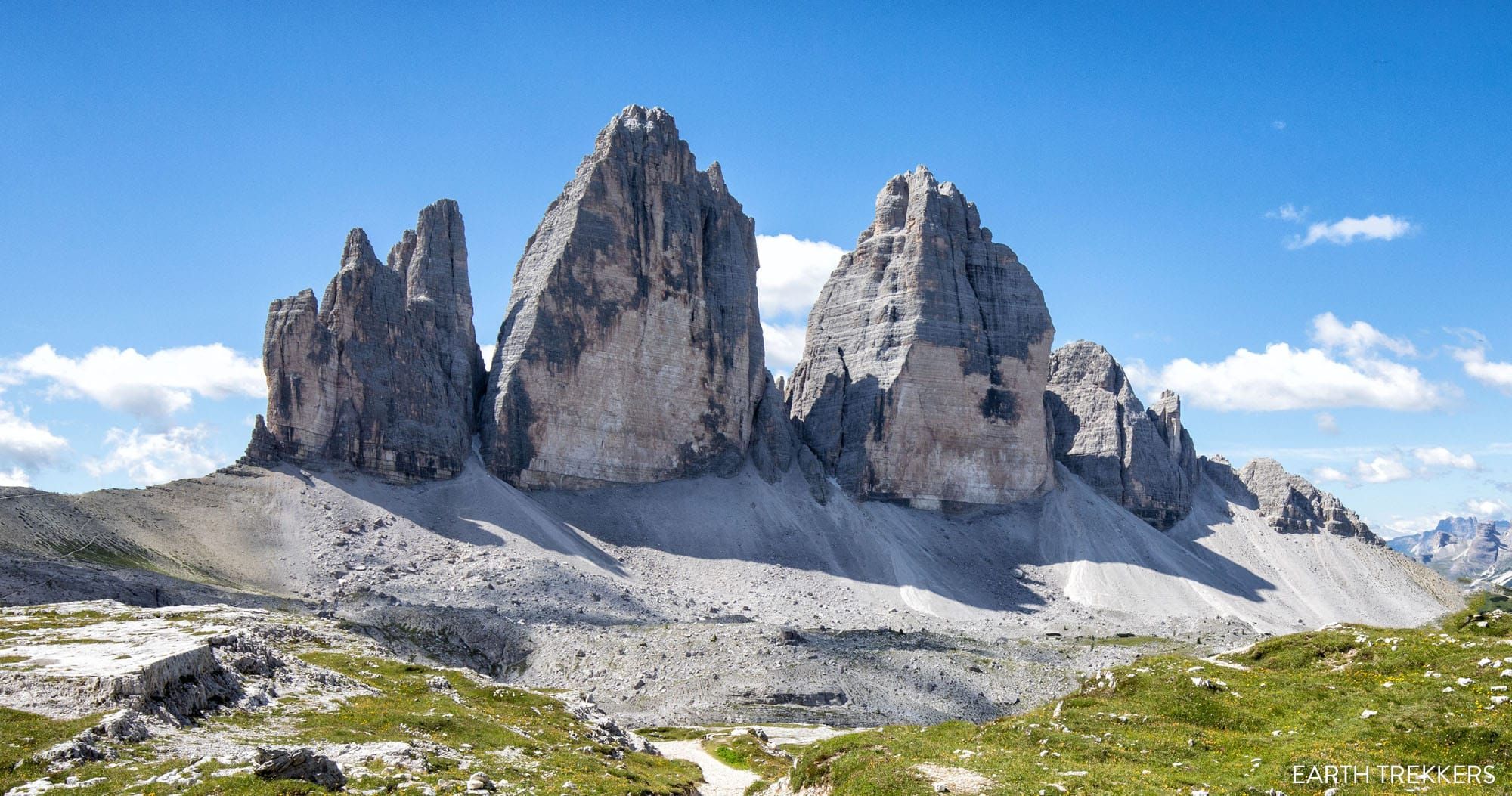
On the Tre Cime di Lavaredo hike, you get to circle around three enormous pillars of rock. Seeing Tre Cime is one of the Dolomite’s most famous views, and these three peaks are the symbol of this UNESCO World Heritage site. Since Tre Cime sits high up in the mountains, it can also be spotted from numerous other destinations in the Dolomites, such as the trail to Lago Sorapis, from Lago di Misurina, and even from Marmolada, but the only way to see the iconic north faces is from the hiking trail.
Along the entire hike, you are treated to amazing views of the Dolomites, plus you get to see Tre Cime from all angles. There are several detours that we will mention, if you want to extend the hike, for different viewpoints or to visit several alpine lakes.
Tre Cime di Lavaredo Hiking Stats
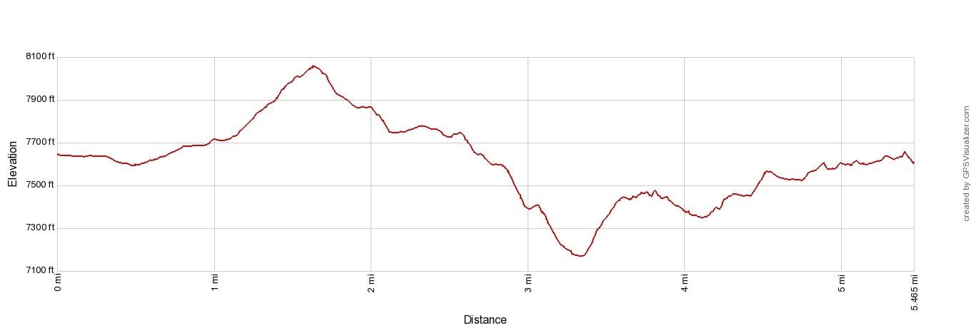
These are the hiking stats for the Tre Cime di Lavaredo loop. The detours that I list along the trail are not included in the stats below (including the loop around Rifugio Locatelli).
Distance: 8.8 km (5.5 miles) Loop
Total Ascent: 425 m (1,400 feet)
Difficulty: Moderate
Lowest Elevation: 2,185 m (7,170 feet)
Highest Elevation: 2,455 m (8,055 feet)
Time: 2.5 to 5 hours
When to Go: This hike is best during the summer months, when the wildflowers are in bloom. The road to Rifugio Auronzo typically opens in early June.
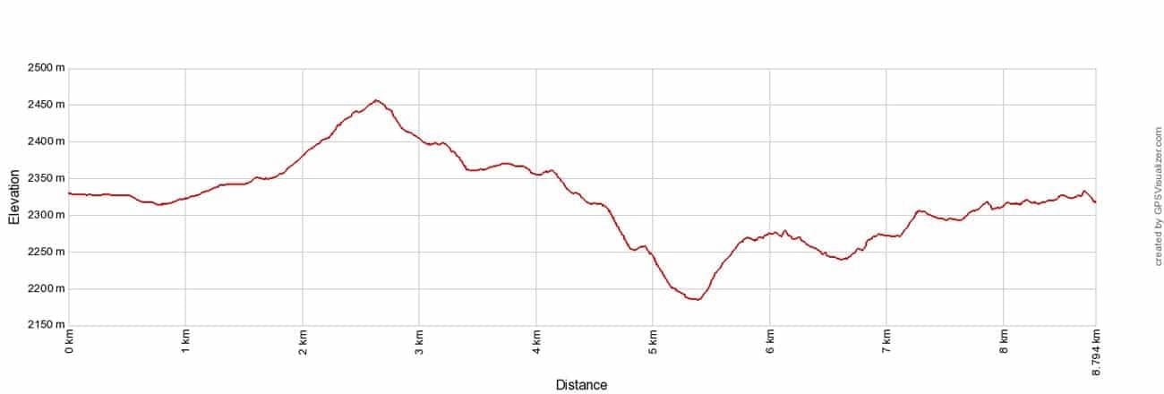
Tre Cime di Lavaredo hike Elevation Profile
Please practice the seven principles of Leave No Trace: plan ahead, stay on the trail, pack out what you bring to the hiking trail, leave areas as you found them, minimize campfire impacts, be considerate of other hikers, and do not approach or feed wildlife.
Map of the Tre Cime di Lavaredo Hike
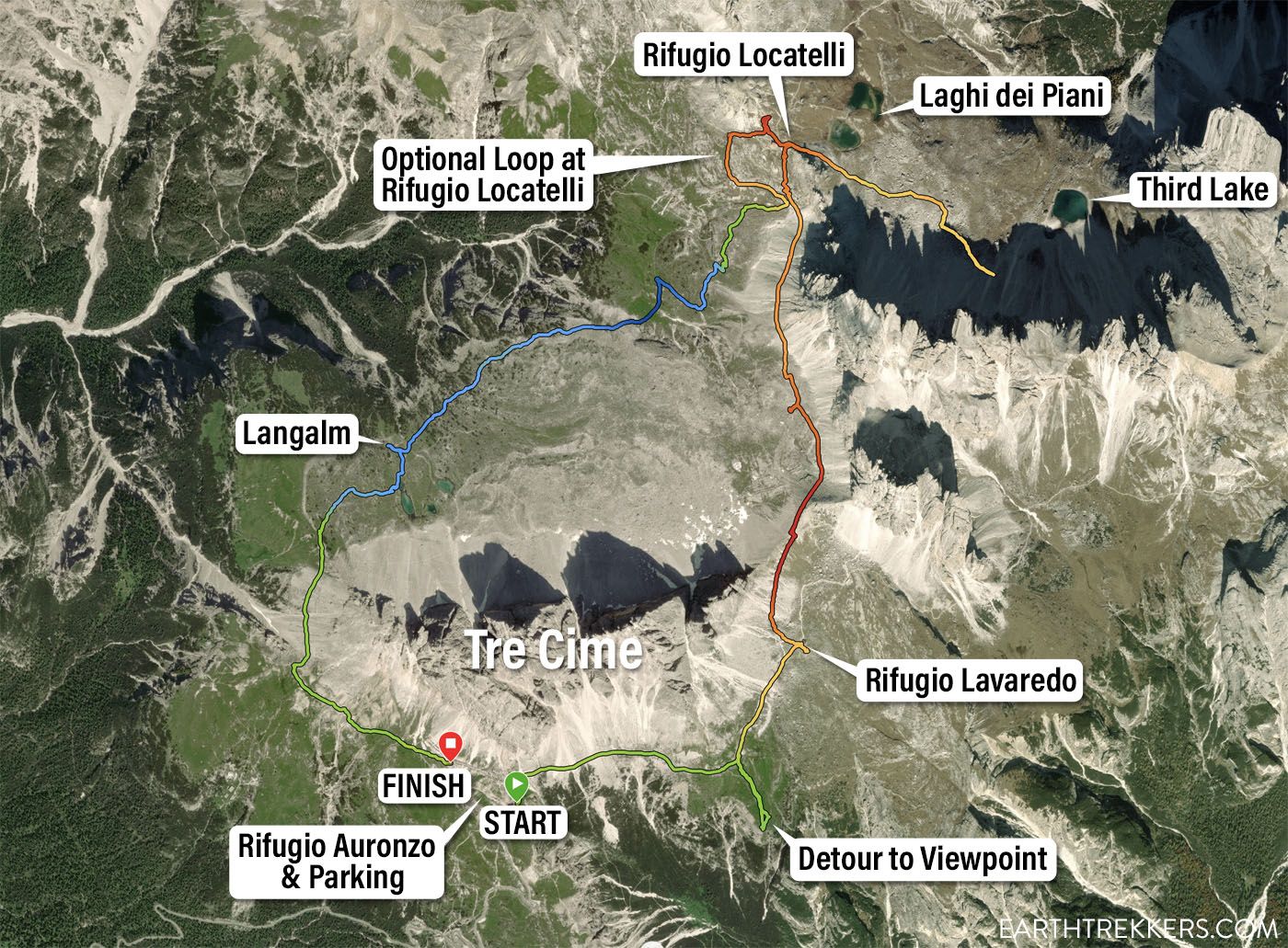
Tre Cime di Lavaredo Map. This map was generated from my Garmin Fenix watch. The red and orange colors are the highest elevations along the trail and the blue color is the lowest elevation along the trail.
Where to Park
The parking lot for Tre Cime di Lavaredo is located next to Rifugio Auronzo. This is a very large parking lot and it holds hundreds of vehicles. Despite its large size, it can fill by 9 to 9:30 am during the summer months.
To get to the parking lot, it is a 7 km drive on the road that connects the Rifugio Auronzo parking lot and SP49. This road starts just north of Lago Misurina.
There is now a limit to the number of vehicles that can drive up this road. Starting in 2025, an online reservation will be necessary to access this parking lot. Learn more about the reservation process here.
The parking fee is €40 per vehicle (€60 per campervan).
The road to the Rifugio Auronzo parking lot typically opens in early June and closes in early fall. Get updates on road conditions and pricing here.
You can also get to Rifugio Auronzo by taking the public bus. This is a good option if you can’t get a parking space.
Tre Cime di Lavaredo Hike
Step-By-Step Trail Guide
Direction
Since the Tre Cime di Lavaredo hike is done as a loop, it can be hiked in either direction. I recommend hiking it counterclockwise. The vast majority of hikers go in the counterclockwise direction, so you will be going with the flow of traffic. Plus, I like the way the views of Tre Cime open up when doing it in this direction.
Tre Cime di Lavaredo Trailhead
From the parking lot, walk to Rifugio Auronzo. This could be a short, quick, easy walk, or it could be a long, uphill walk, depending on where you were directed to park.
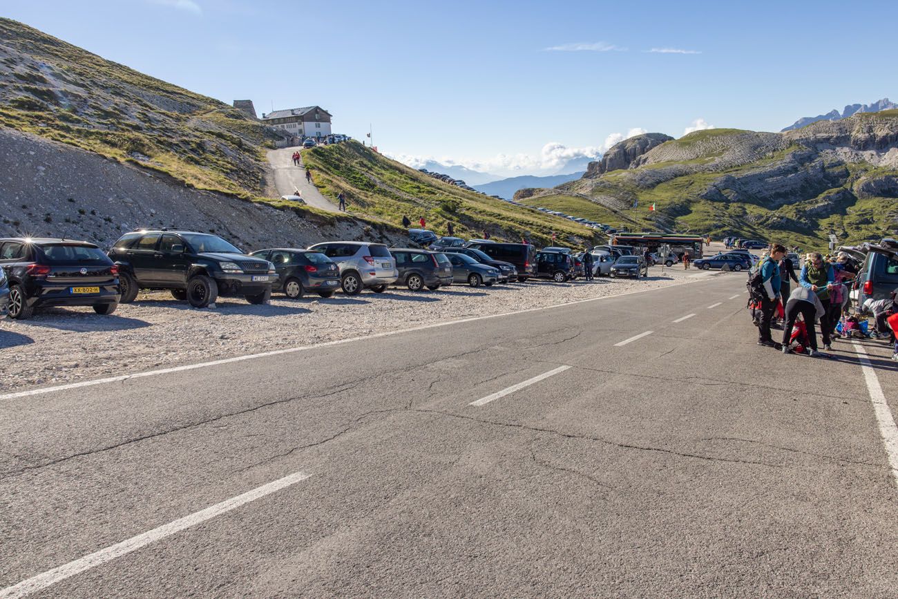
Parking lot for the Tre Cime di Lavaredo hike
PRO TRAVEL TIP: The hike starts at Rifugio Auronzo but it ends at the far end of the parking lot. So, if you get directed to park in the lot that’s farthest from Rifugio Auronzo, you will have a short walk to your car once finished the hike.
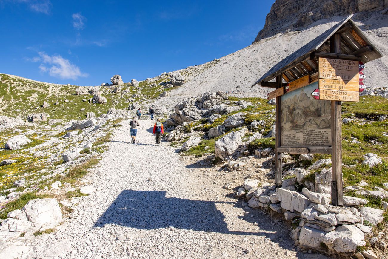
The trail starts next to Rifugio Auronzo. Walk the the front of Rifugio Auronzo. There is a wide terrace here with views of the valley. The trail starts on the left side of the terrace. There is a trail sign here marking the trailhead, but it’s very obvious where the trail is located once here…just look for the wide, gravel path with lots of hikers on it.
You will hike this trail, trail #101, towards Rifugio Lavaredo.
Rifugio Auronzo to Cappella degli Alpini
The first part of the hike is the easiest. A wide, gravel, mostly flat trail runs beside the southeast faces of Tre Cime. Off to your right, you can look down through the Auronzo valley and over to the Cadini di Misurina (the jagged, rocky peaks on the opposite side of the valley).
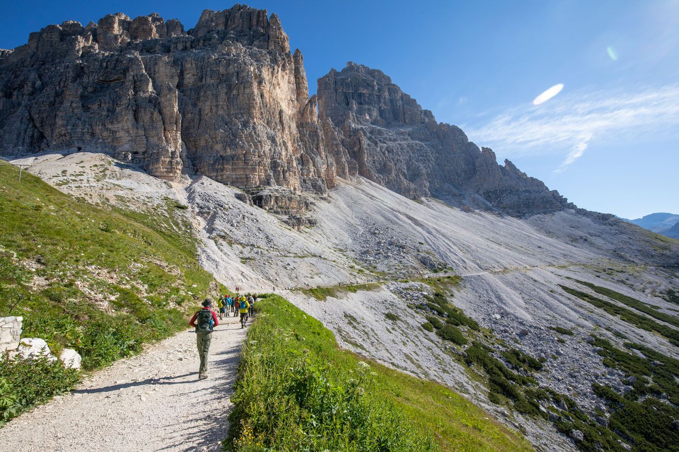
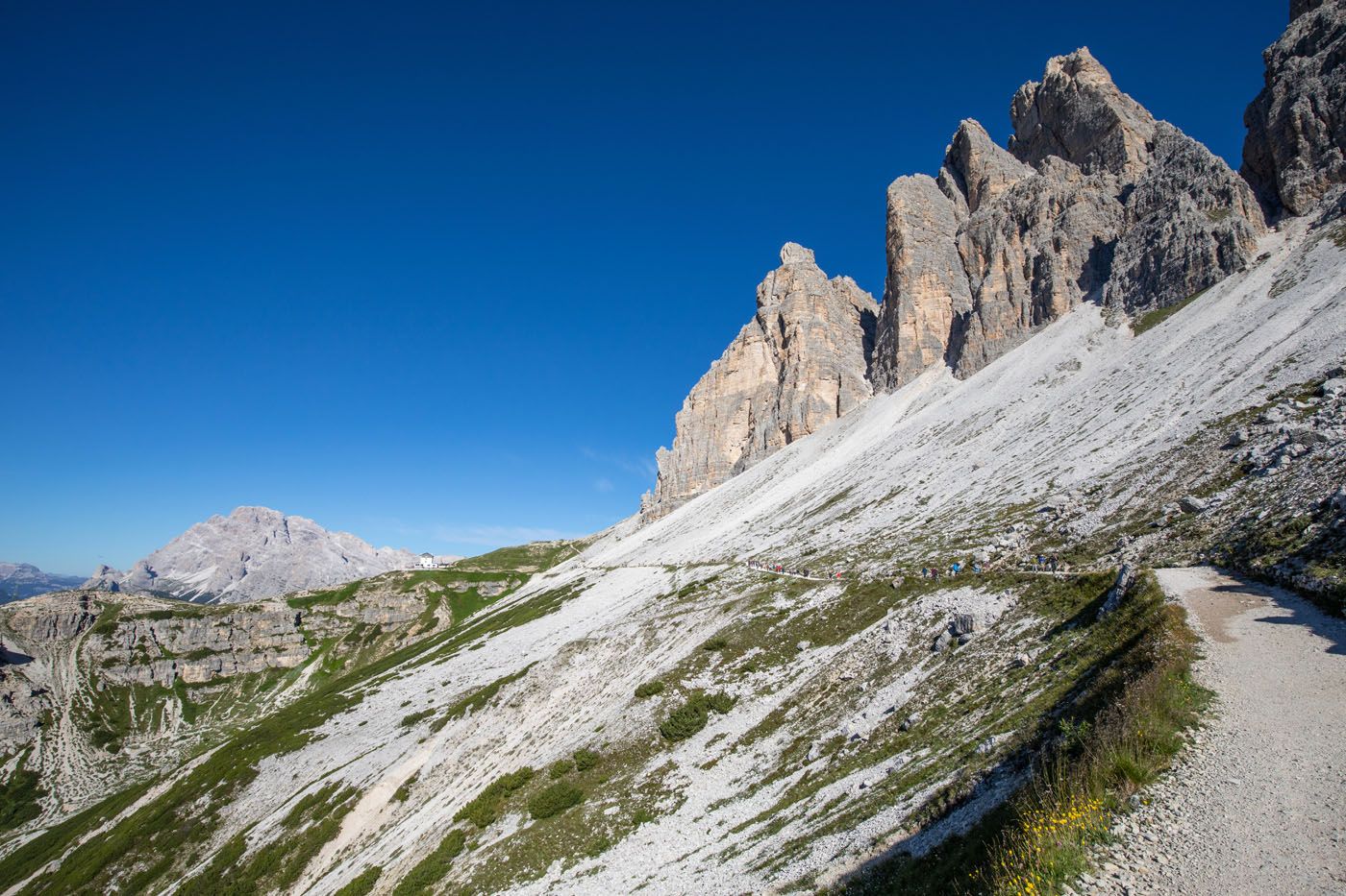
Looking back along the trail towards Rifugio Auronzo.
Once you reach Cappella degli Alpini, you have hiked about 1 km. At this point, you can continue along the official hiking trail or make the detour out to a beautiful viewpoint.
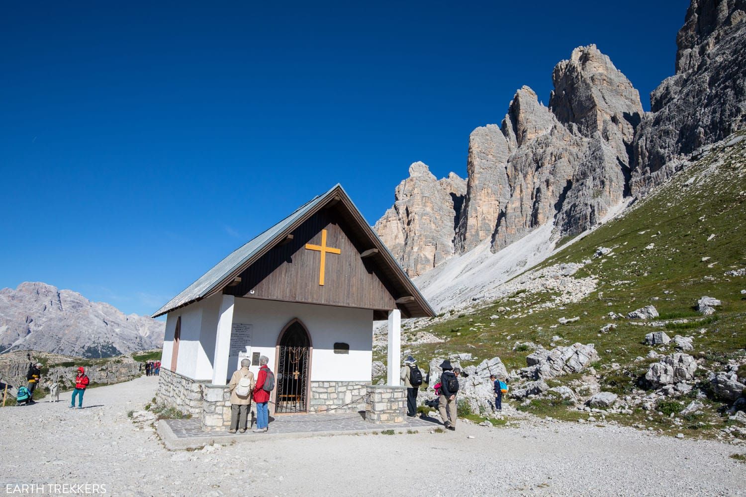
Cappella degli Alpini
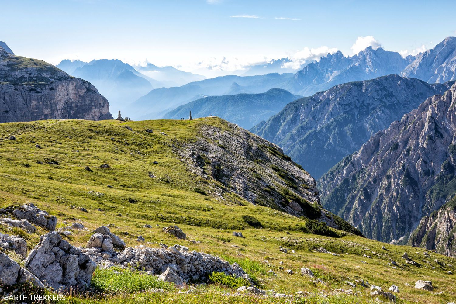
The view of Mirante do Vale dos Tres Picos de Lavaredo, an optional detour from the main trail.
Optional Detour: Mirante do Vale dos Tres Picos de Lavaredo
Distance: 0.65 km (0.4 miles) out-and-back
Total Ascent: 45 m (145 feet) all on the way back to the main trail
Time: 15 to 30 minutes
A few steps beyond the chapel is a trail that breaks off from the main trail, to a stunning view of Tre Cime. We did not do this on our first hike here, and even debated it on our second time around. However, I am so glad that we did. It’s a quick and easy add on…plus you get a unique view of Tre Cime.
To do this, look for a break in the fence and a trail sign indicating trail #101A. This trail leads downhill to the two monuments. From this spot, you get a great view of Tre Cime and you get a better view of the valley than you do from the main hiking trail.
To get back up to the main trail, retrace your footsteps. It will be an uphill walk the entire distance.
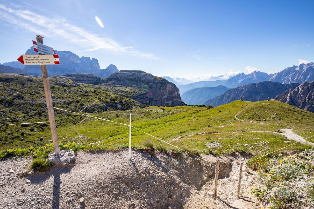
Trail to Mirante do Vale dos Tres Picos de Lavaredo
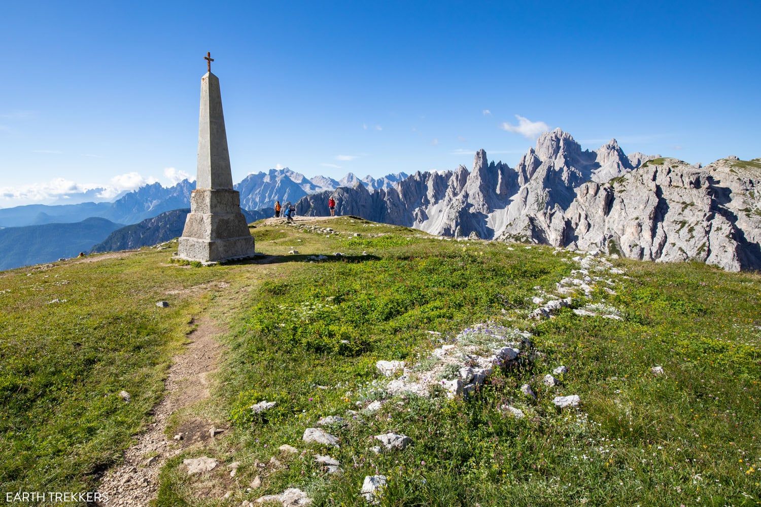
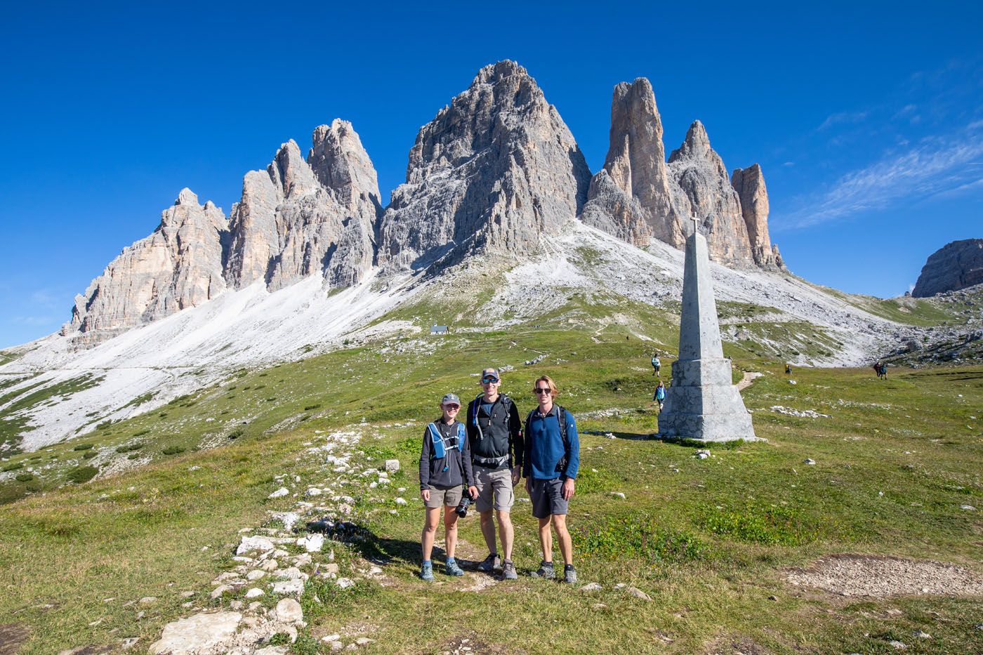
From Mirante do Vale dos Tres Picos de Lavaredo you have a unique view of Tre Cime (and it’s a great spot for a family photo).
From Cappella degli Alpini to Rifugio Lavaredo
From the chapel, it is an easy 10-minute walk to Rifugio Lavaredo. Here you can grab a bite to eat, use the bathroom, or refill your water.
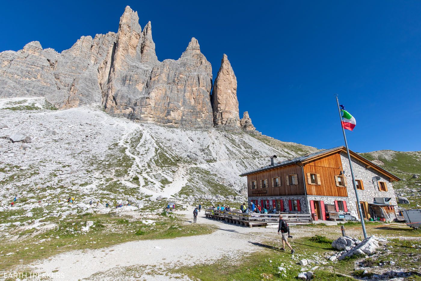
Rifugio Lavaredo
Rifugio Lavaredo to Forcella Lavaredo
From Rifugio Lavaredo, there are two different routes to hike up to Forcella Lavaredo, which is the fork in the trail on top of the hillside in front of you.
We split up and hiked both trails. One is shorter, steeper, and faster, and the other is longer, easier, and offers slightly better views of Tre Cime. Here are photos and a trail description of both.
Shorter Upper Trail
The trail to left of Rifugio Lavaredo (distance: 650 meters, 10 to 15 minute walk) starts off as a steep strenuous climb, then becomes more gradual for the rest of the walk to the forcella. This trail is shorter and more strenuous, but also faster. Along this trail, you get great panoramic views over Rifugio Lavaredo, but you don’t get a good view of Tre Cime since you are so close to it.
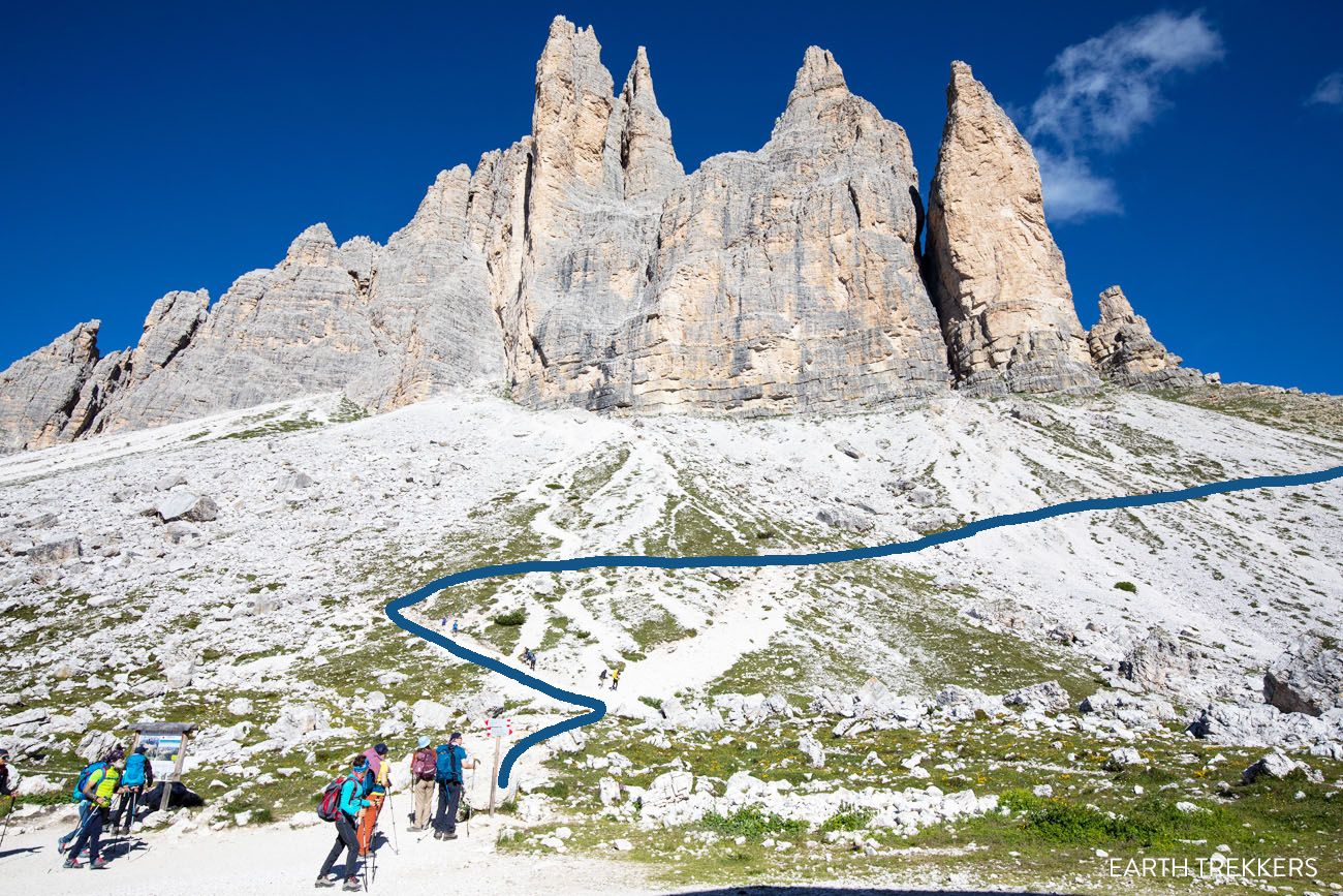
The upper trail is the blue line in the photo above. It starts off steep and then levels out.
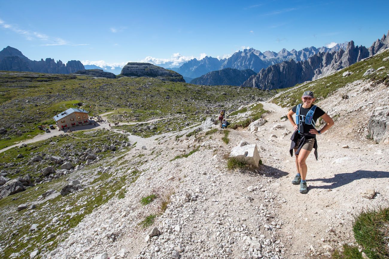
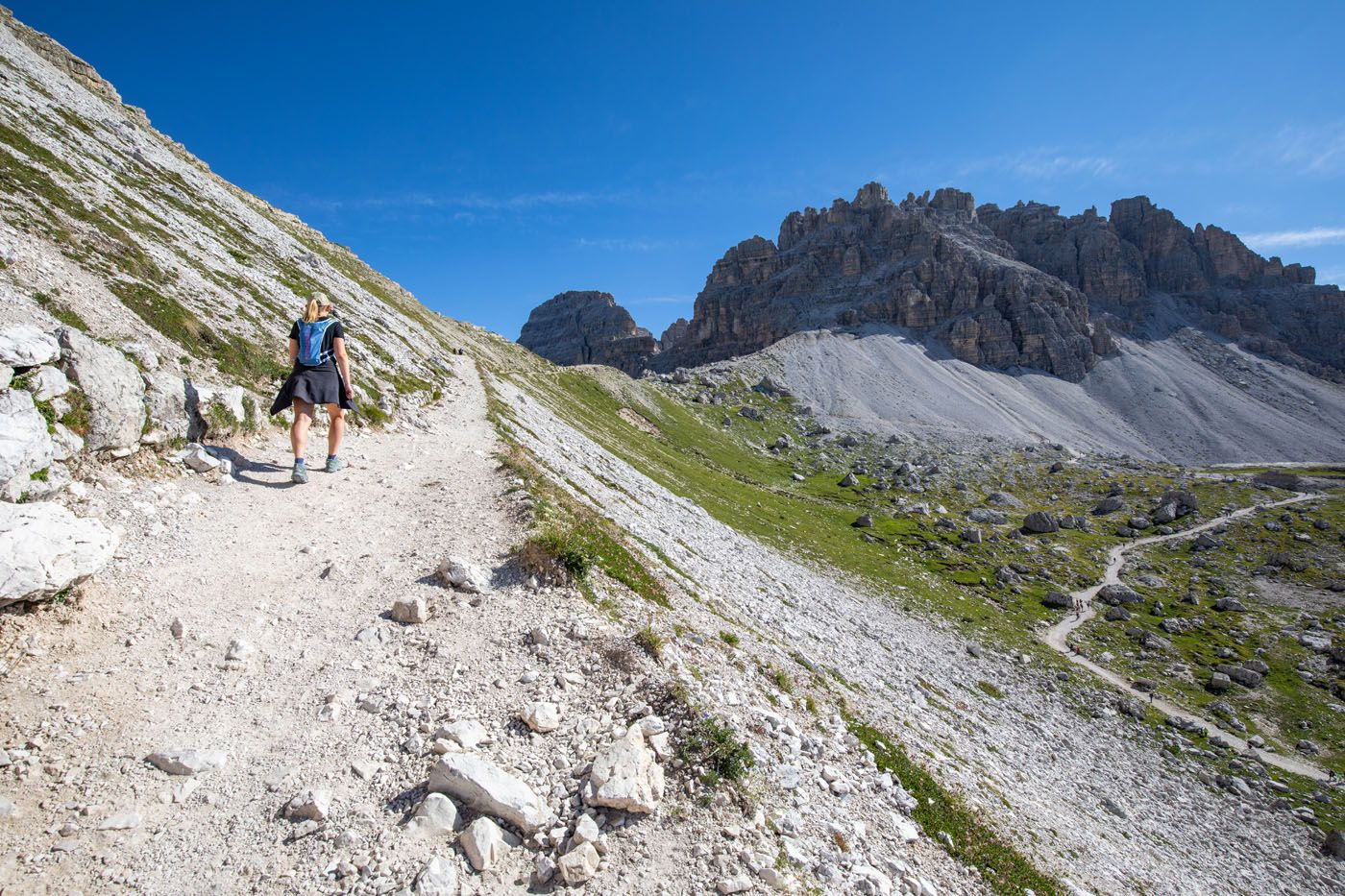
Upper trail to the forcella (trail junction).
Longer Lower Trail
The trail to the right (distance: 1 km, 15 to 20 minute walk) starts off flat. On the second half, it gradually climbs up to the forcella. From the second half of this walk, you get a very nice view of Rifugio Lavaredo and Tre Cime.
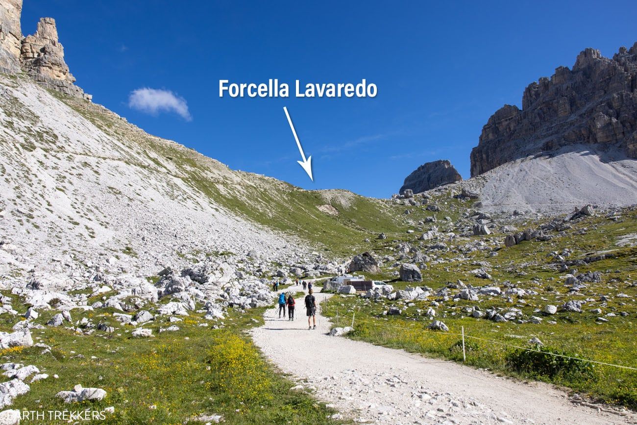
Lower trail to the forcella. It starts off flat, turns to the right, and then starts climbing up the hill.
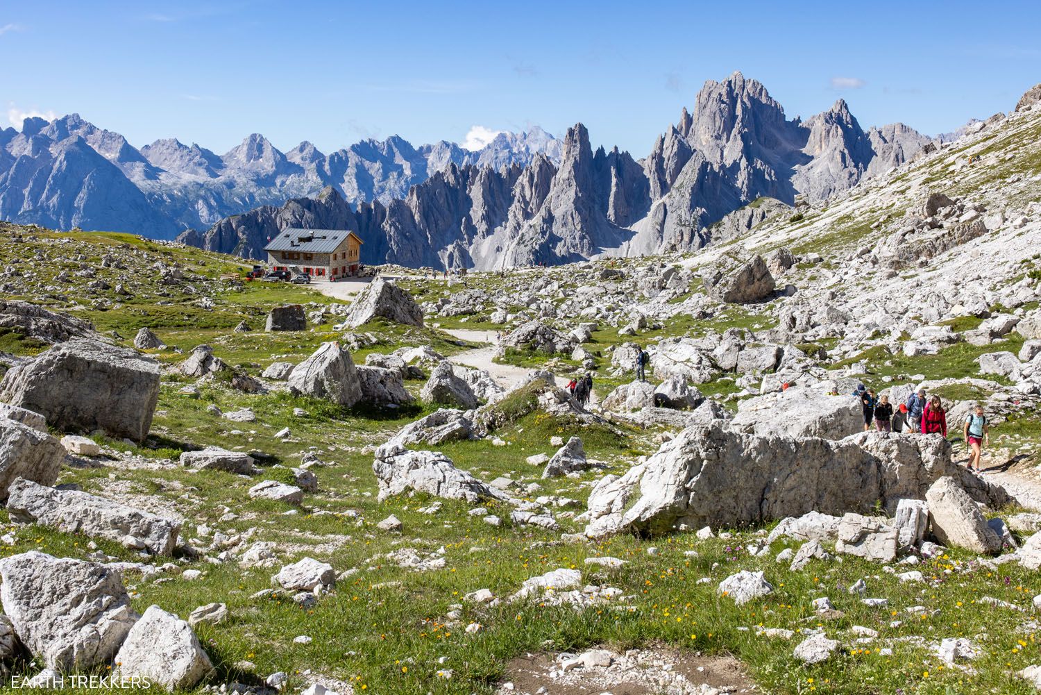
Rifugio Lavaredo and the Cadini di Misurina in the background.
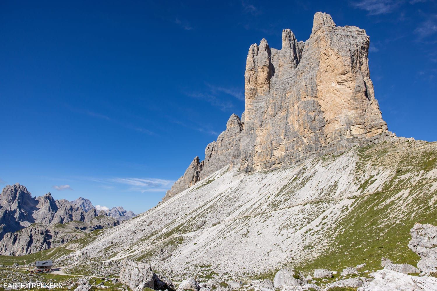
View of Tre Cime and Rifugio Lavaredo from the lower trail.
Forcella Lavaredo to Rifugio Locatelli
Once on top of the hill, your view changes dramatically. From here you can see the valley in front of Tre Cime, with the mountains of the Dolomites stretching off beyond. In the not too far off distance is Drei-Zinnen-Hutte (Rifugio Locatelli), your next destination.
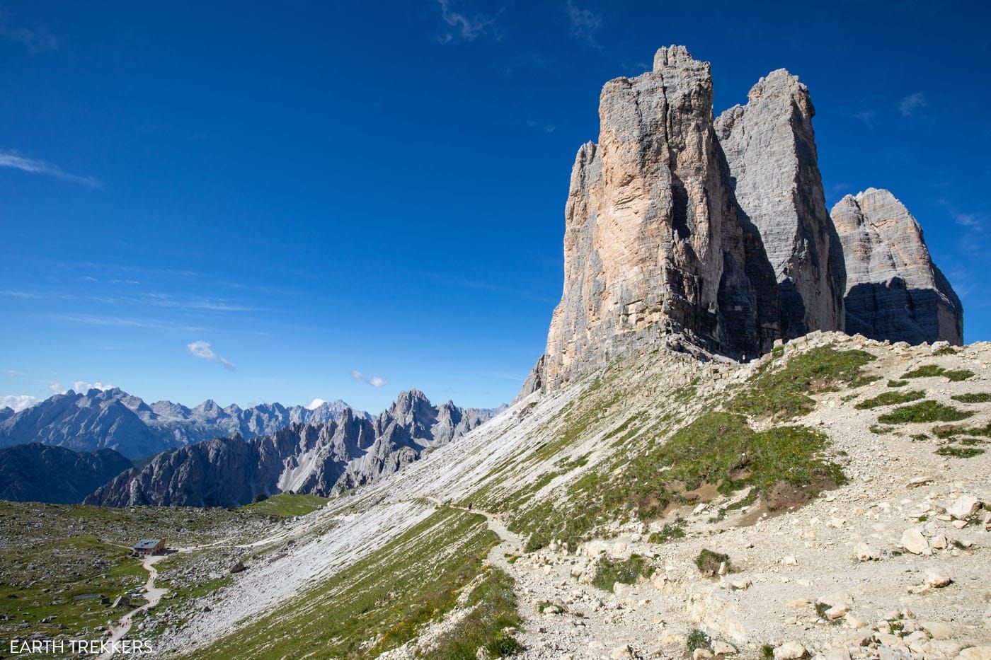
The view from Forcella Lavaredo (regardless of which route you choose).
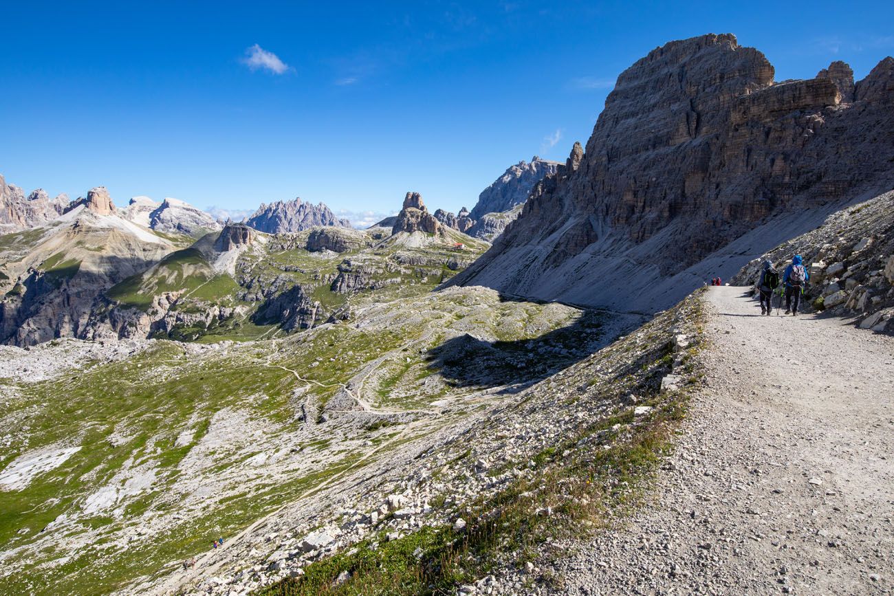
Trail to Rifugio Locatelli (Dreizinnenhutte).
It is roughly a 2 km walk to Rifugio Locatelli. Most of this walk is on a wide, gravel trail. Turn around periodically for views of Tre Cime.
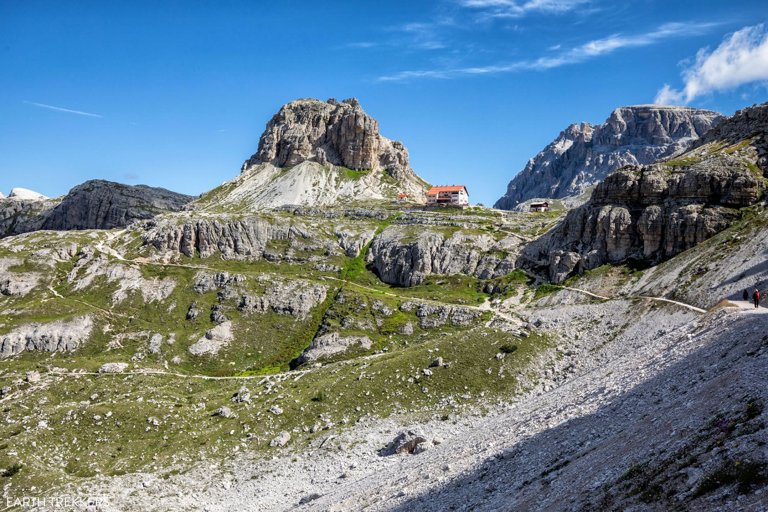
Approaching Rifugio Locatelli.
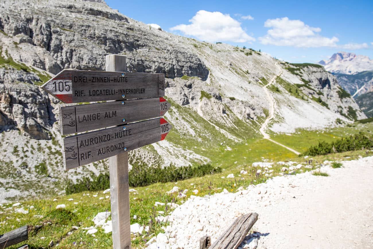
As you approach the next trail junction, you have a choice to make. Many people do not hike up to the rifugio. If you fall in this category, you can take trail #105 towards Langalm, skipping the rifugio and the upper viewpoints. But if you don’t mind adding on another short detour, you will be rewarded for your efforts.
Detour to Rifugio Locatelli
The hiking stats below include the hike up to Rifugio Locatelli, the viewpoint of Laghi dei Piani from near the rifugio, the view from Sasso di Sesto, and walking the loop trail back to the main Tre Cime Trail.
Distance: 1 km (0.6 miles) loop
Total Ascent: 60 m (200 feet)
Time: 30 minutes
To get to the rifugio, take the first trail to the right, which is the short, steep trail that has a few switchbacks as it climbs up to Rifugio Locatelli.
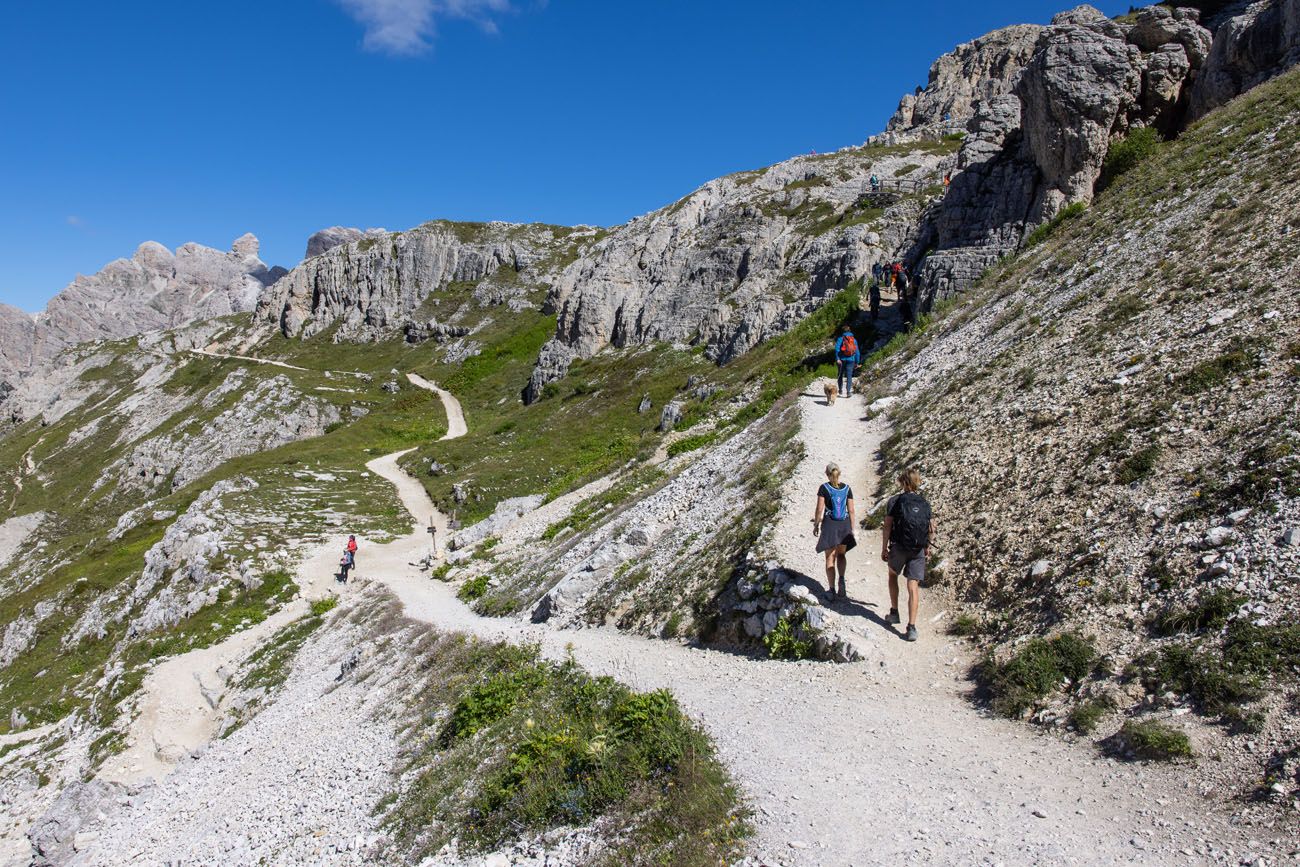
Tyler and Kara are on the short, steep trail to Rifugio Locatelli. If you go left, you skip Rifugio Locatelli and then hike trail #105 to Lange Alm.
As you hike up the short but steep view, you don’t have to go far for a great view of Tre Cime di Lavaredo.
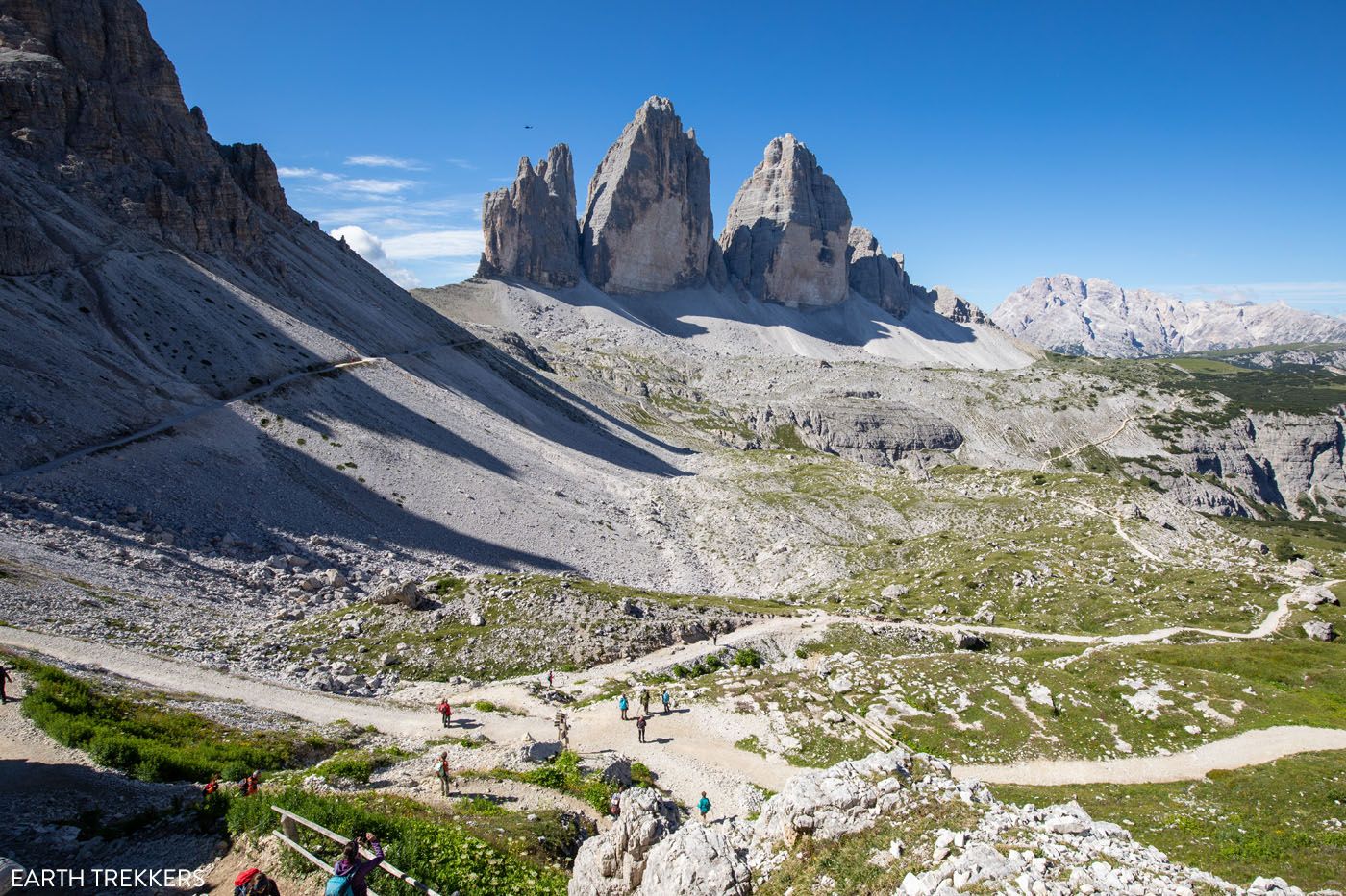
The view from the trail to Rifugio Locatelli. At the bottom of this photo is the junction with trail #105. At the end of this loop detour around Rifugio Locatelli, you will arrive back at that junction.
At the rifugio, you can grab a bite to eat or something to drink. The terrace has an excellent view of Tre Cime.
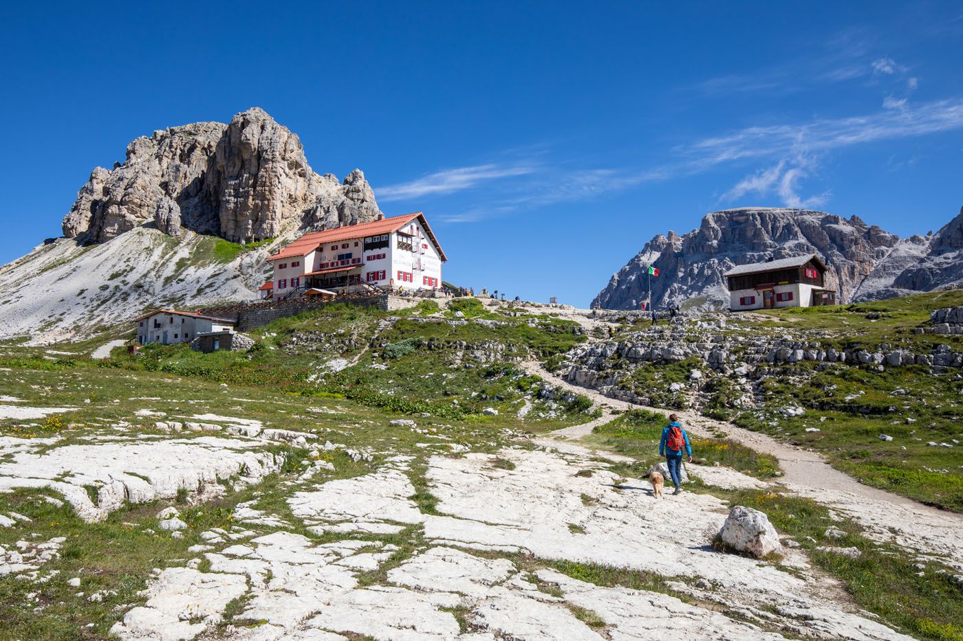
Rifugio Locatelli (Drei Zinnen Hutte)
Before continuing along the loop, walk a short distance past the rifugio for a view of two colorful alpine lake (Laghi dei Piani). You can explore this area farther, which I will go into detail next, as an optional detour.
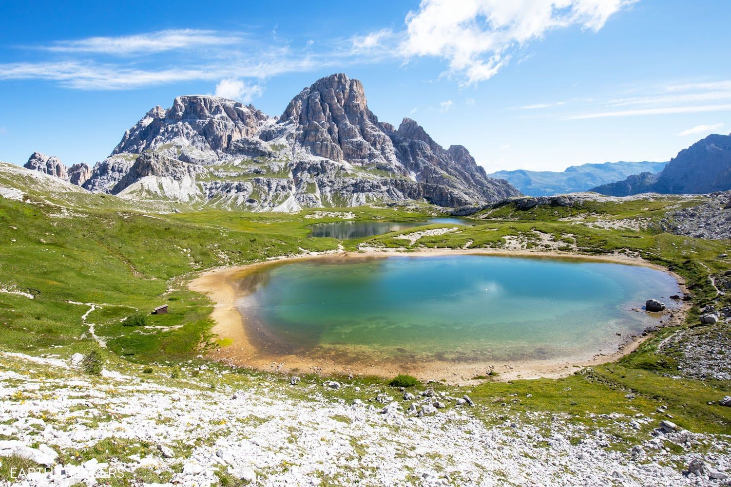
Laghi dei Piani
Optional Detour: Laghi dei Piani
Distance: 2 km (1.2 miles) out-and-back to the third lake
Total Ascent: 105 m (345 feet)
Our Time: 40 minutes
Behind Rifugio Locatelli, you can continue on trail #101. Beyond the hut, this trail leads past the alpine lakes and continues deeper into the park. Very few people venture out this way, so if you like the idea of leaving the crowds behind, this is a great add-on to the Tre Cime hike.
The terrain here looks much different from the first part of Tre Cime hike. To get to the lakes, it is a downhill walk through a boulder field and then on a trail that runs along a gravelly slope.
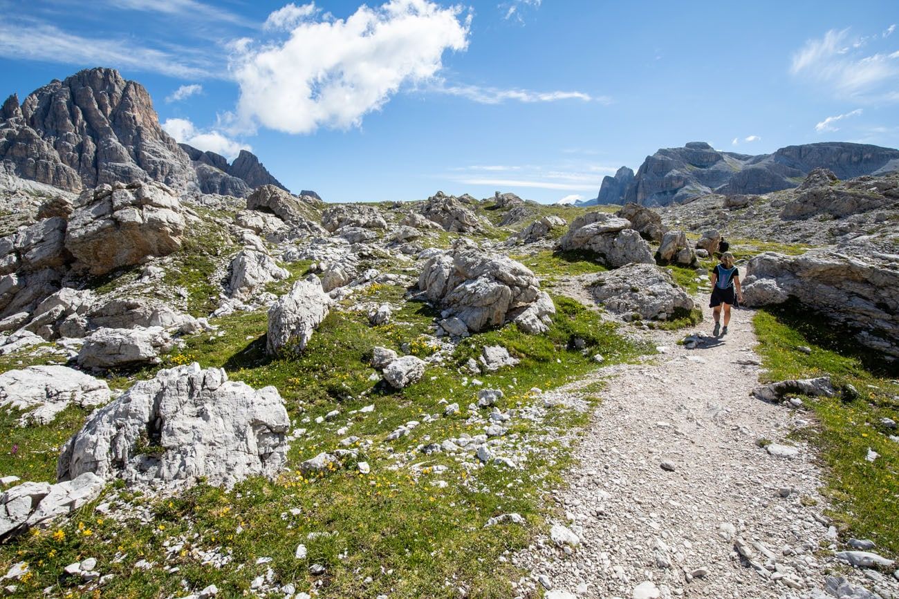
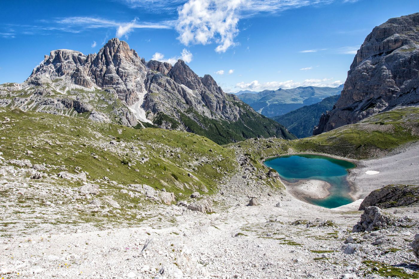
The third lake
We really liked this part of the hike, since the views are much different. However, it’s not for everyone, since it does add another 2 km onto the hike. Plus, it’s a strenuous hike back up to Rifugio Locatelli.
Rifugio Locatelli Viewpoints
Before leaving Rifugio Locatelli, I have two viewpoints to recommend.
The first is the church next to the hut (Chiesetta Alpina). You can get a great shot of the church and Tre Cime in the same photograph.
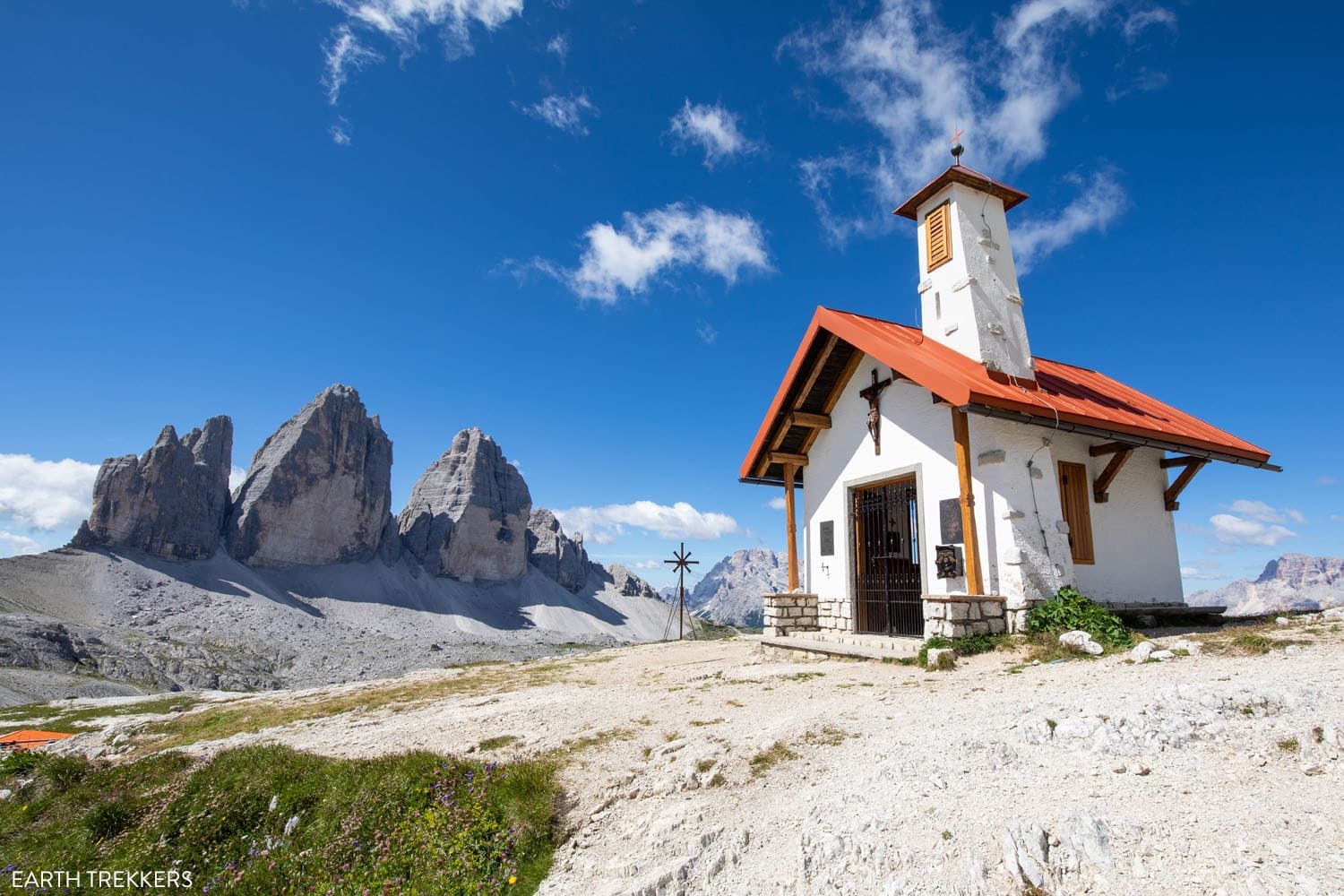
The second is Sasso di Sesto (Sextenstein). There is a steep, gravelly trail that leads up to a via ferrata route. About halfway up (about a 2-minute walk), you can look down on the entire area and see Tre Cime di Lavaredo, Rifugio Locatelli, and the colorful lakes.
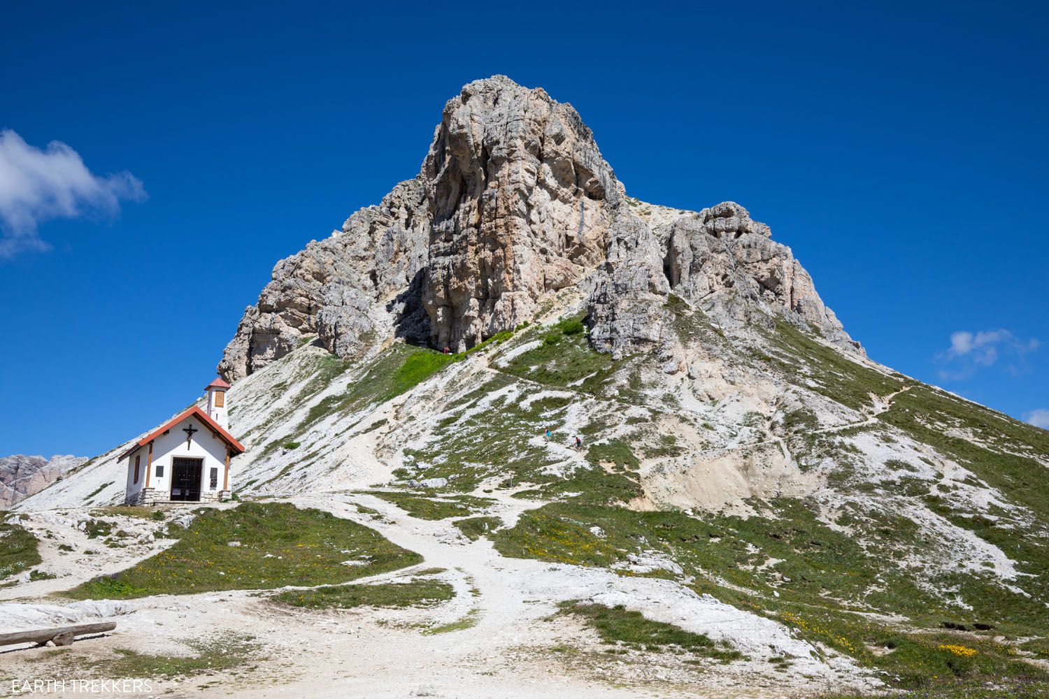
Sasso di Sesto is the mountain behind the chapel. If you hike just a short ways uphill you get one of the best views of the day.
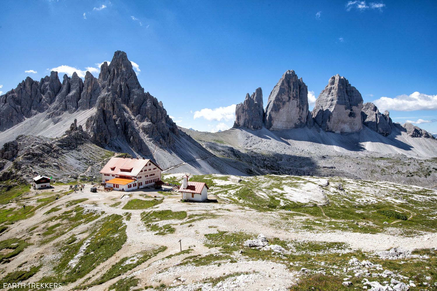
The view of Rifugio Locatelli and Tre Cime from Sasso di Sesto.
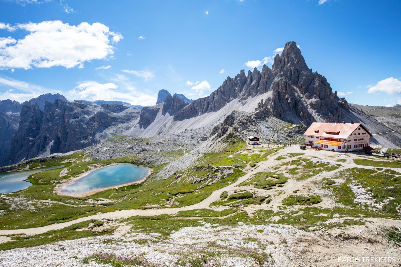
And this is the view from the same point overlooking Laghi dei Piani.
Rifugio Locatelli Back to the Main Trail
From Rifugio Locatelli, take trail #105 to Lange Alm. This trail starts next to the chapel and briefly heads downhill, away from the rifugio. The trail will loop back towards Rifugio Locatelli, although you will now be below it. From this loop trail, you get wonderful views of Tre Cime and this trail gets very few hikers, which is a nice bonus.
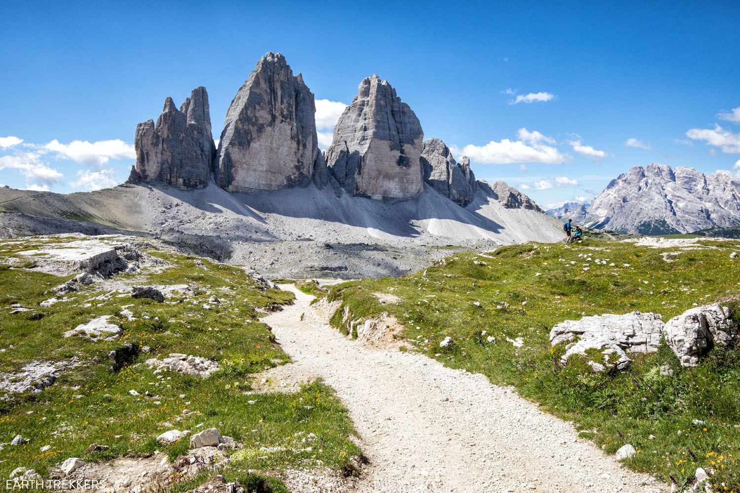
Great views of Tre Cime and just a few hikers…this detour around Rifugio Locatelli is full of wonderful surprises!
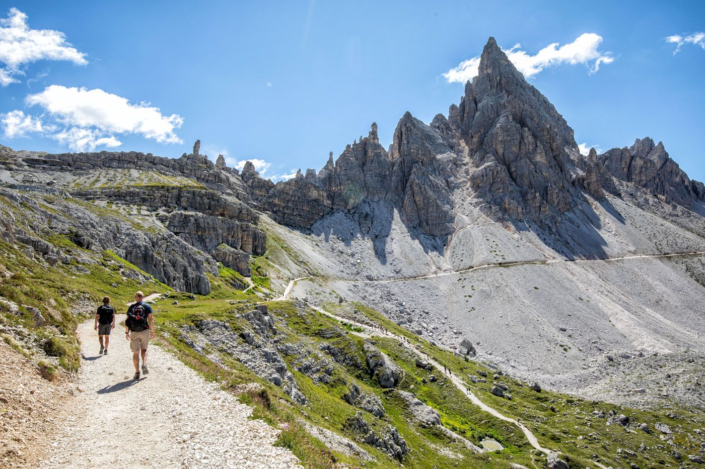
Approaching the end of the loop trail.
Once you get to the trail junction that sits at the bottom of Rifugio Locatelli, stay to the right to continue on trail #105. This is the end of the detour around Rifugio Locatelli.
Now, you hike towards Tre Cime and it is a gorgeous view.
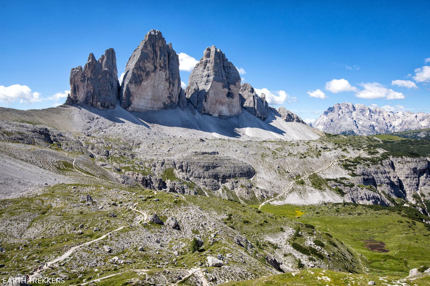
Trail #105 to Malga Langalm
As you near Tre Cime, the path narrows and then starts its massive descent. You now hike down into a valley, and to get here, you will hike down long series of steps and some steep slippery slopes.
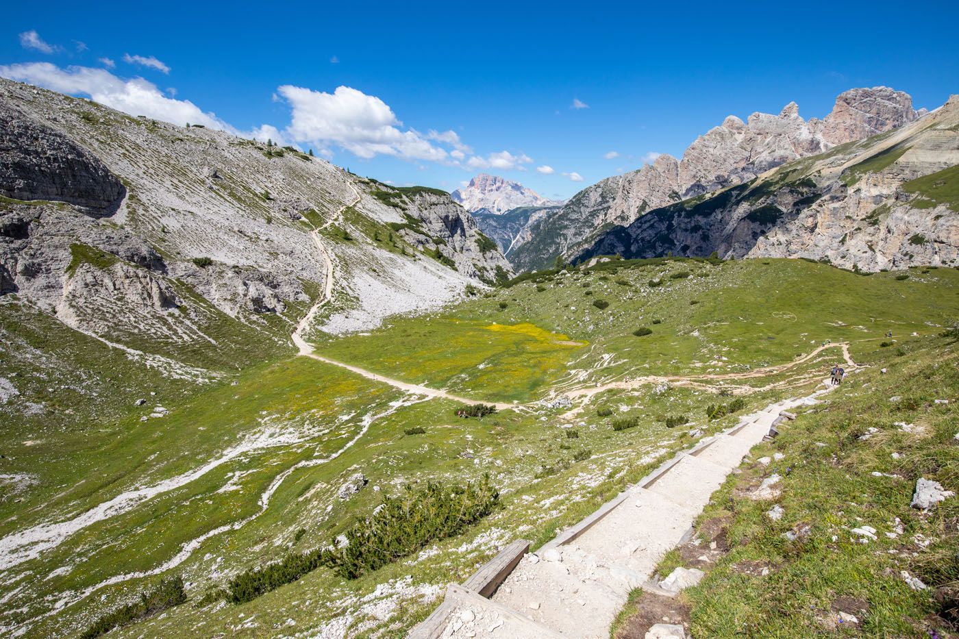
The trail that heads down into the valley.
Cross the valley, hike up the hill on the far side (this is the most challenging part of the hike), and once at the top, look back and enjoy the view.
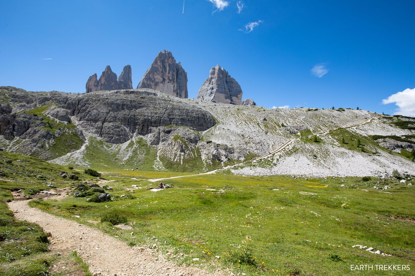
View of the uphill trail.
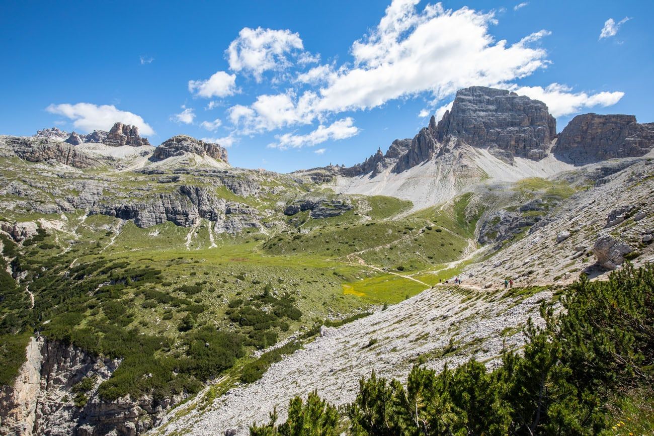
The view at the top of the climb.
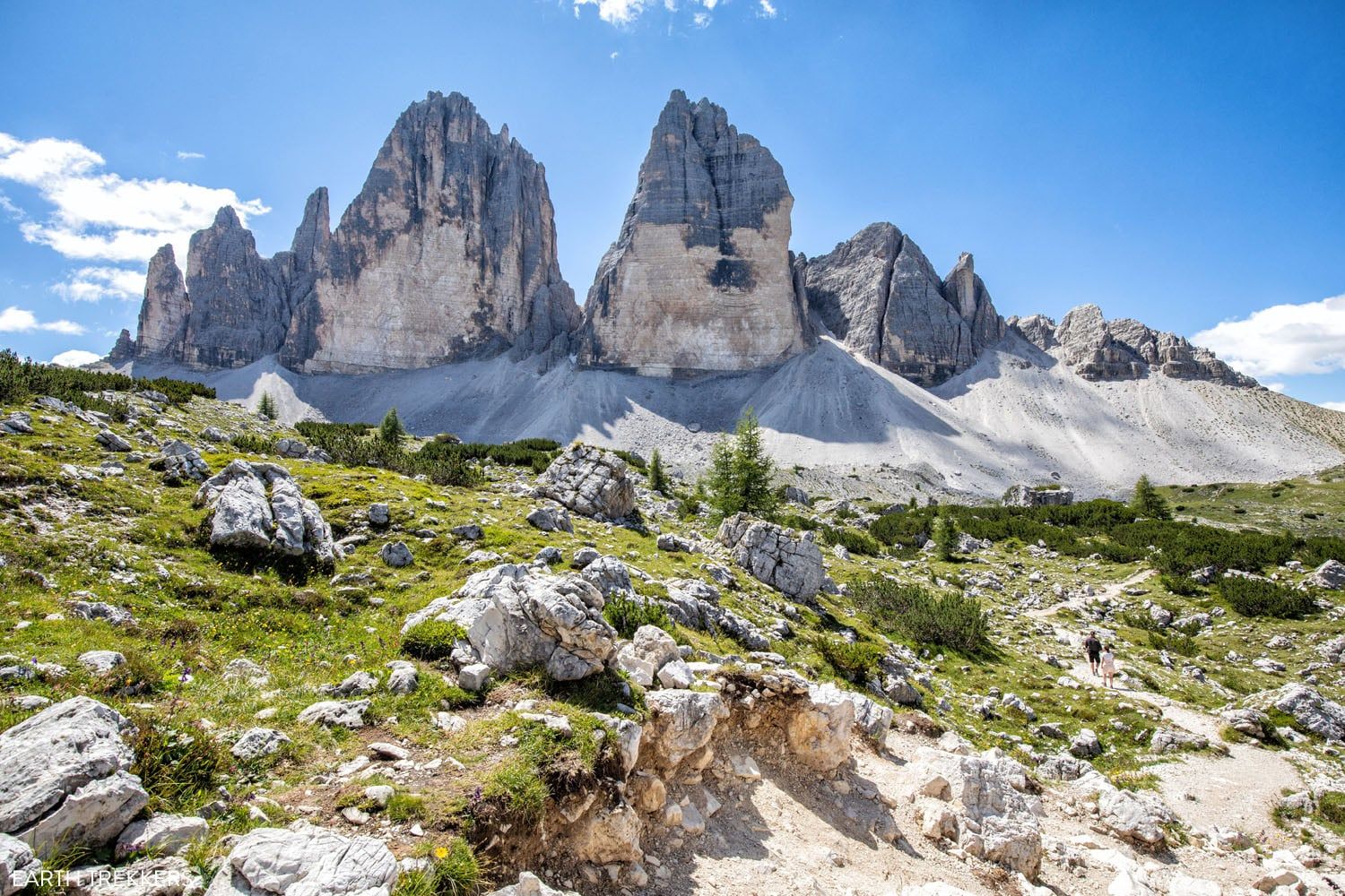
Now it’s a short walk to Lange Alm. There are a lot of ups and downs here, nothing too strenuous, but along the way you do have a nice of Tre Cime off to your left.
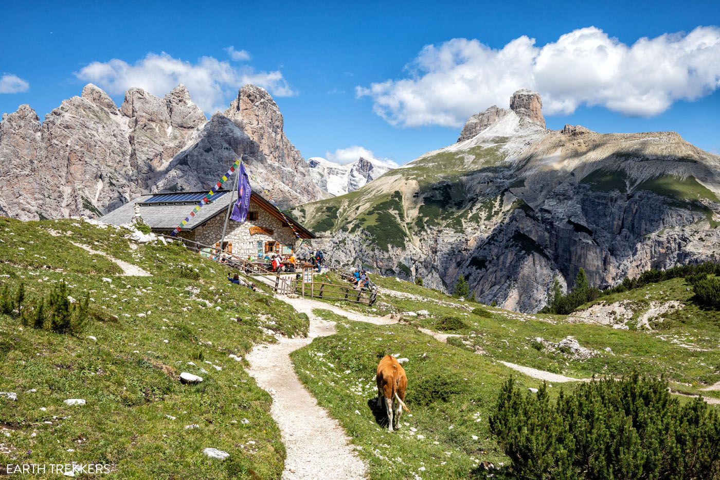
Malga Langalm is another spot to refuel, rest, and enjoy the view.
Langalm to the Parking Lot
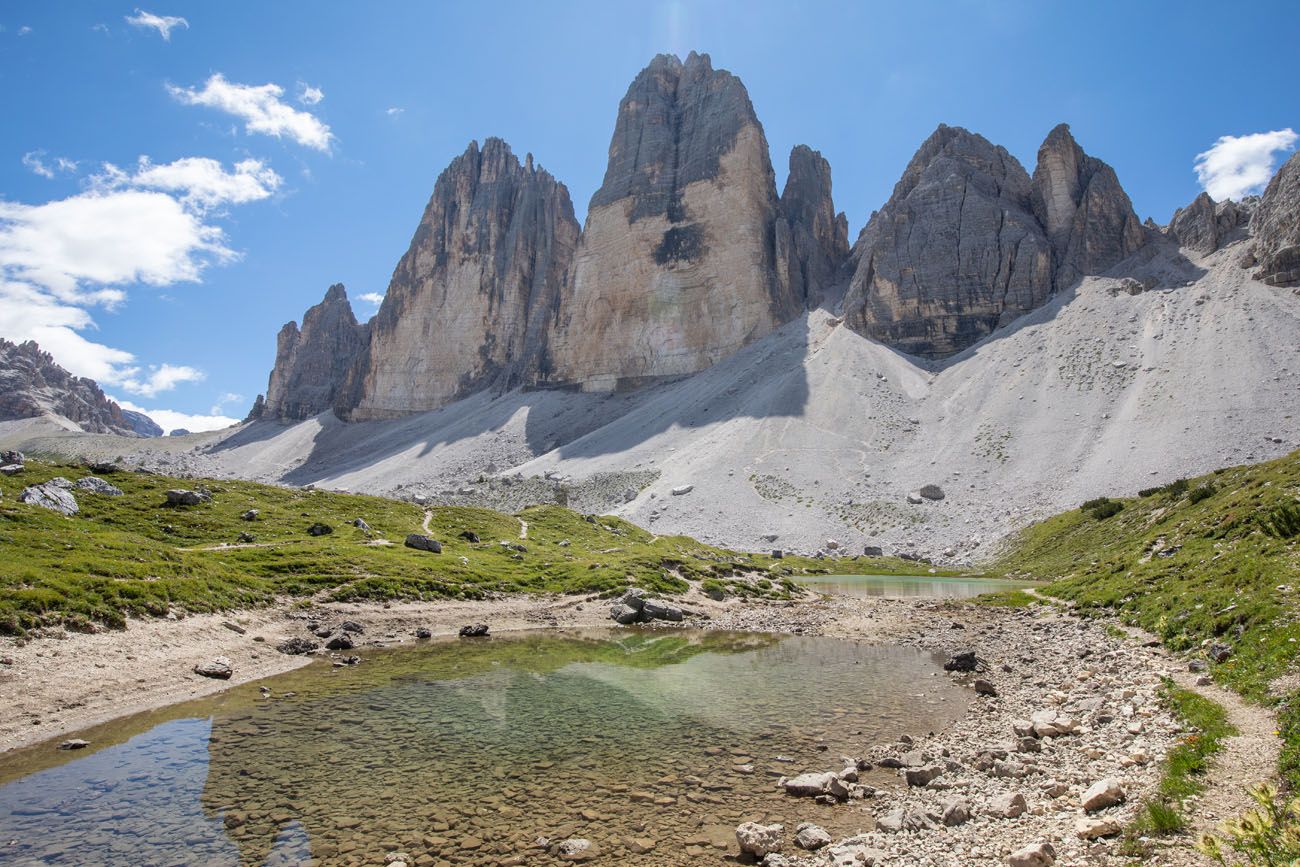
As you continue the hike, just a short distance past the Malga Langalm hut you will come to the reflecting pools. On a sunny, calm day, it’s possible to capture the reflection of the peaks in a photo of these lakes.
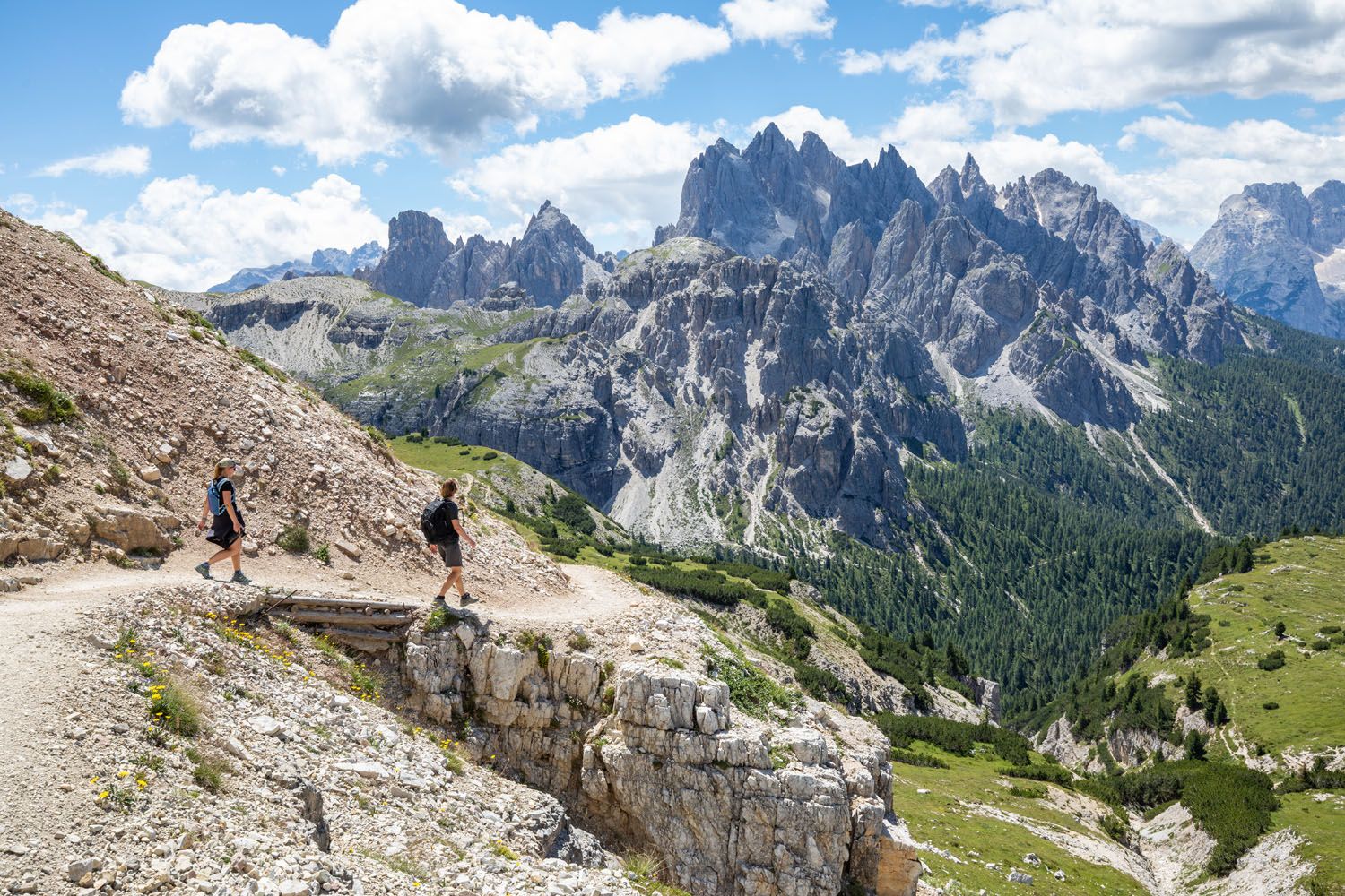
On this final section of trail, the views continue to change, with panoramic views of the Dolomites to the west. Just before reaching the parking lot, the rocky peaks of the Cadini di Misurina come into view.
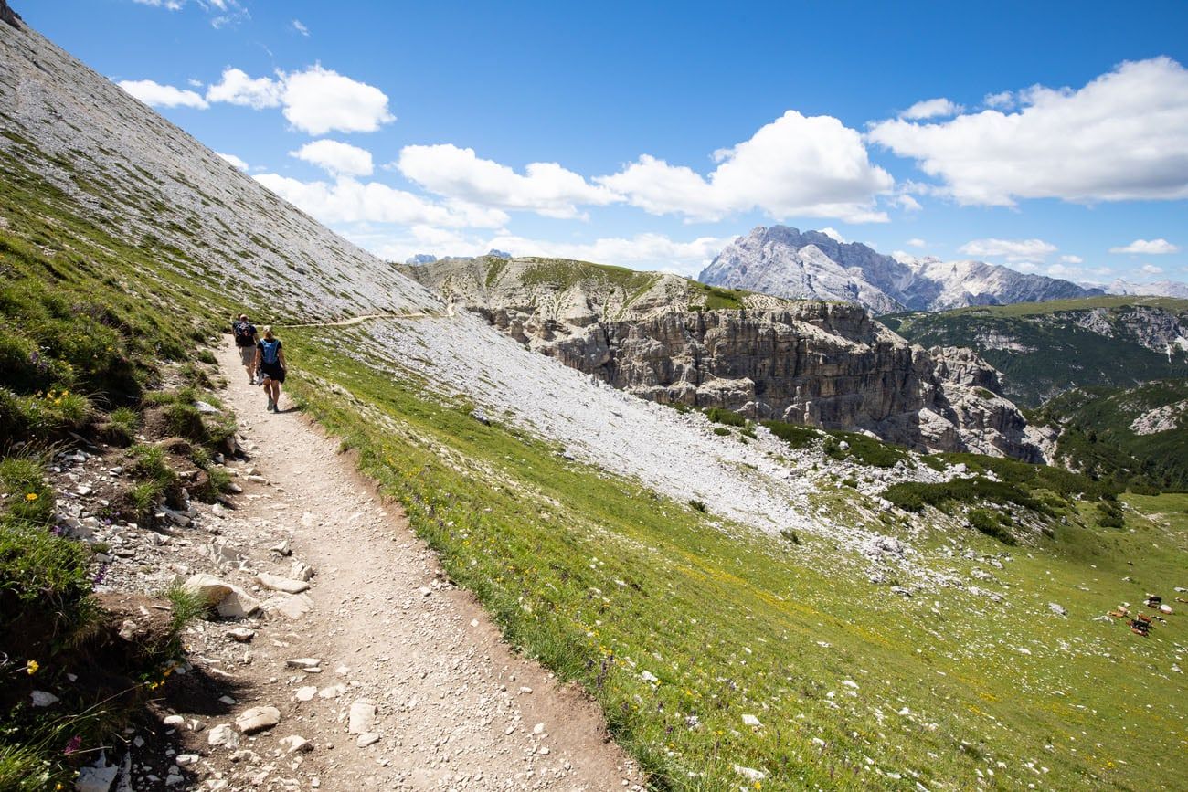
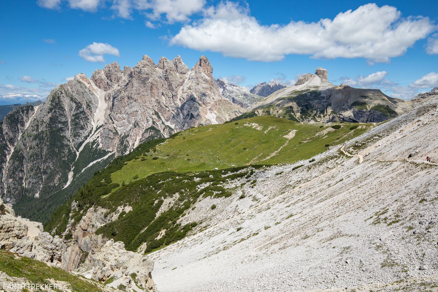
Looking back at the trail.
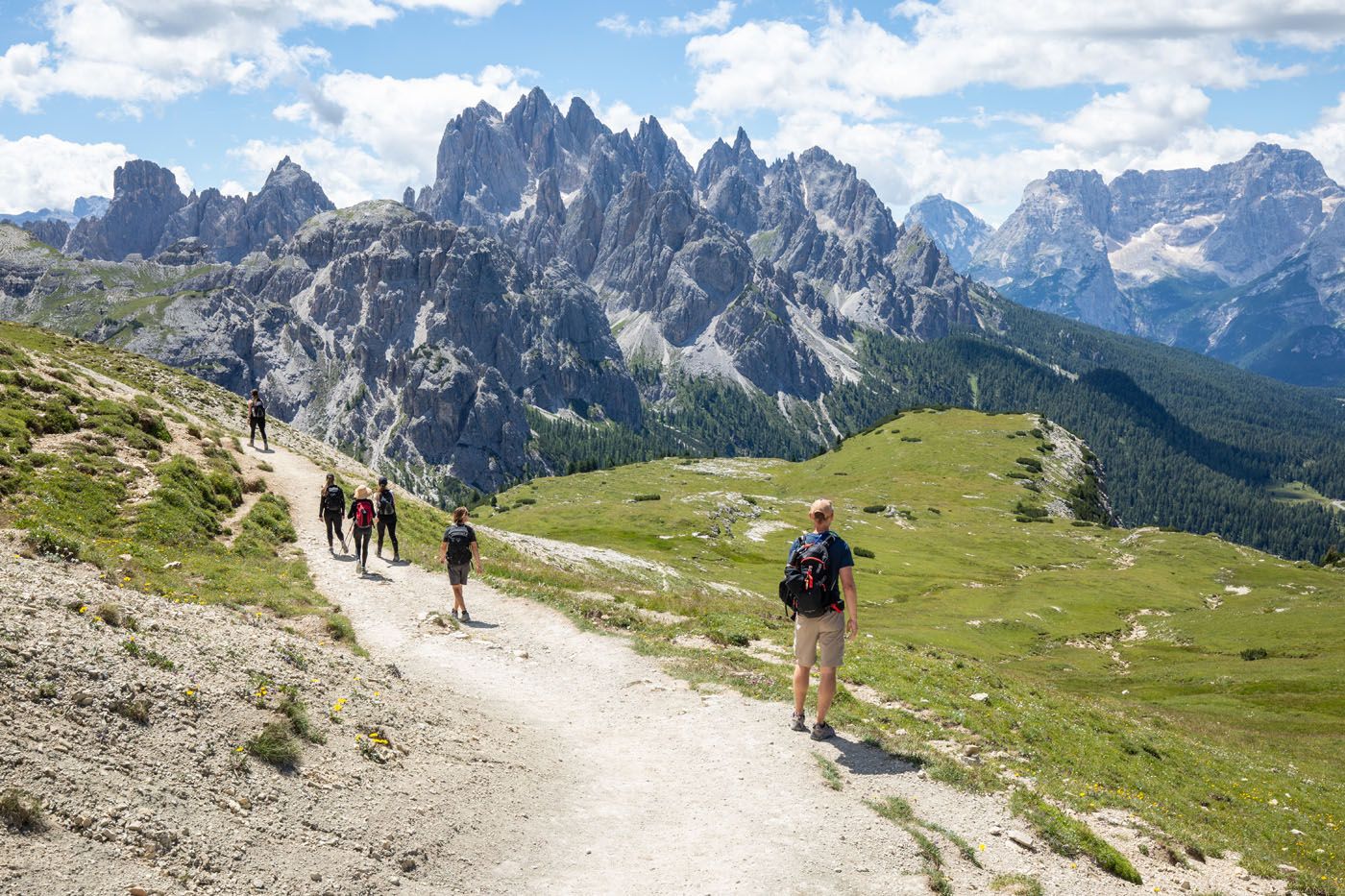
The Cadini di Misurina (the spiky pinnacles of rock) come into view.
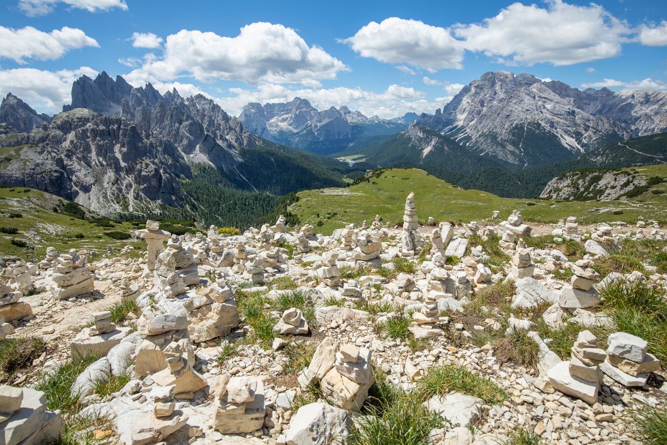
Once you get to these rock cairns you are almost finished the hike.
The trail ends at the Rifugio Auronzo parking lot. From here, you can go right to your car or you can walk to Rifugio Auronzo, should you need food or a bathroom, but it is a long walk across the parking lot.
And if you are looking for another great hike that starts from this same parking lot, check out the hike to the Cadini di Misurina viewpoint.
The Tre Cime di Lavaredo Hike in the Rain
The first time we did this hike, we had overcast skies and clouds hid the upper peaks of Tre Cime. The last third of the hike it rained.
Hiking Tre Cime with bright sunny skies is a more pleasant experience, but if you get a less than perfect weather day, the low-lying clouds add a mysterious effect to the landscape.
Here are a few photos of what to expect if you hike Tre Cime on a rainy day.
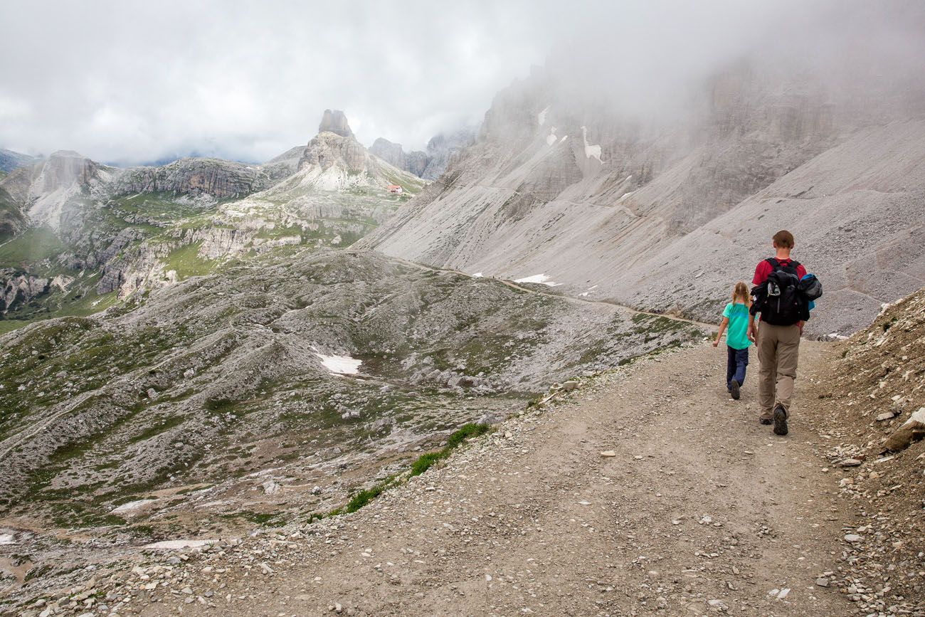

Rifugio Locatelli
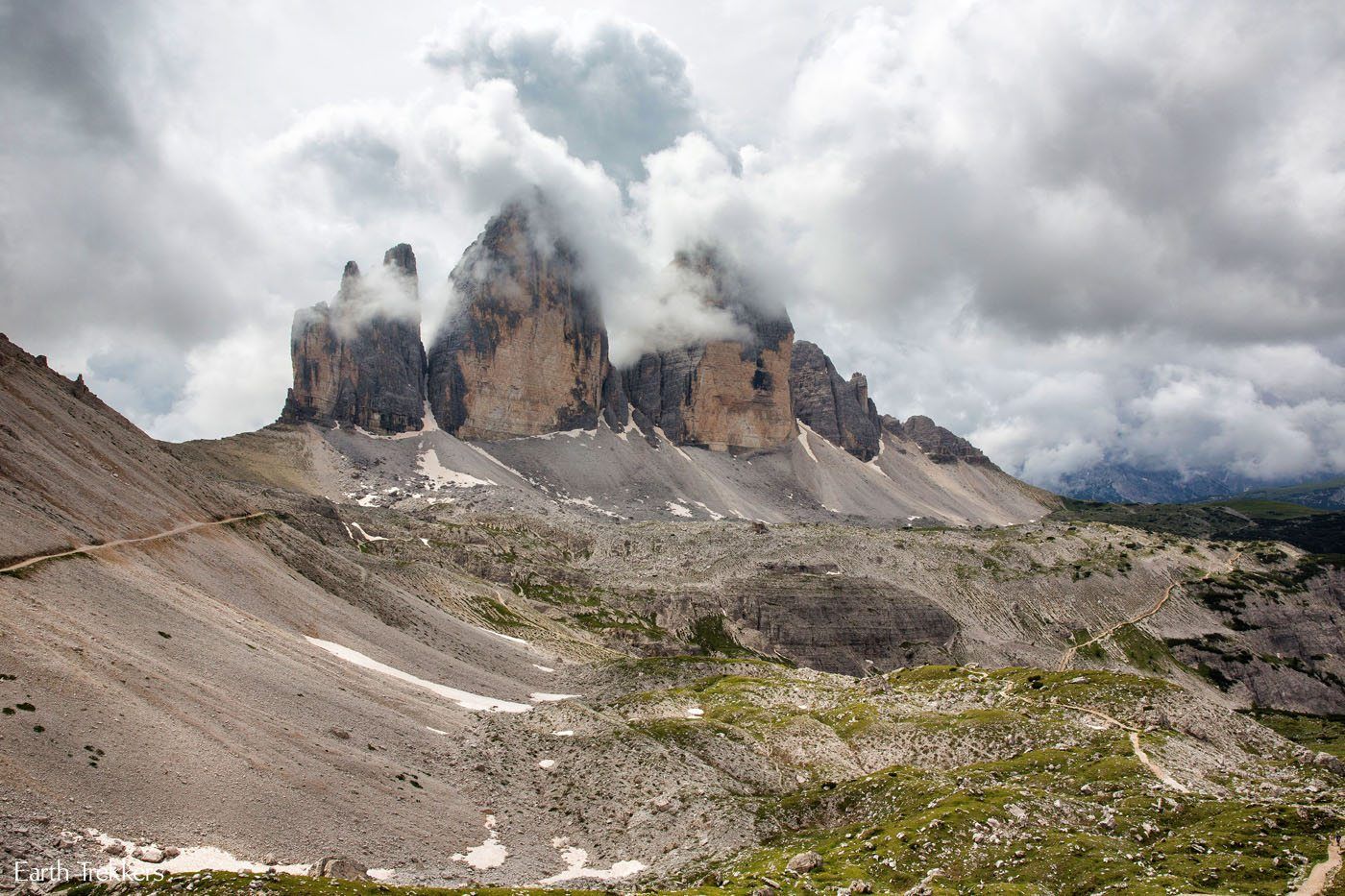
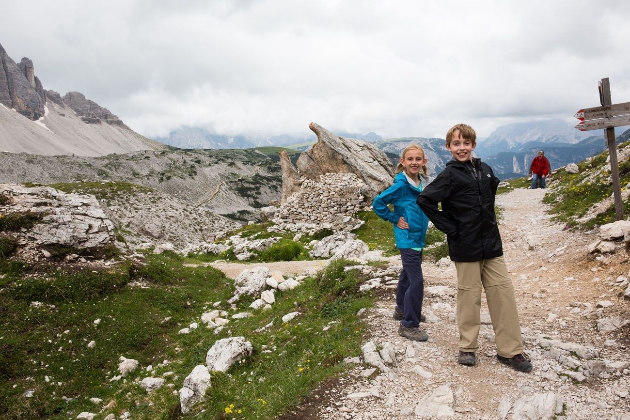
Tyler and Kara on the trail
What to Bring on the Hike
Hiking shoes. I recommend wearing hiking shoes. This will give you more traction on the trails, and parts of the trail are covered with loose gravel and scree, which can be slippery.
Water. I recommend bringing 1.5 liters of water per person. You can also refill your water, or refuel with food and drinks, at Rifugio Lavaredo, Rifugio Locatelli or Langalm.
Sunscreen, hat, and sunglasses. Most of the trail is fully exposed to the sun.
Essential Hiking Gear: What Should You Bring on a Day Hike?
If you are new to hiking or are curious about what you should bring on a hike, check out our Hiking Gear Guide. Find out what we carry in our day packs and what we wear on the trails.Frequently Asked Questions
Can you hike Tre Cime di Lavaredo with kids?
Yes, this is a great hike to do with kids. The first time we hiked this trail, Kara was 9 and Tyler was 11. They both thought this hike was relatively easy at the time (but they also hiked the Puez-Odle Altopiano the day before, which is a much more challenging hike). In my opinion, active, adventurous kids who are 6 years or older should be able to handle this hike.
When is the best time to hike Tre Cime di Lavaredo?
Mid to late-summer, when the wildflowers are blooming, is a beautiful time to do this hike.
Is the Tre Cime di Lavaredo hike worth it?
The Tre Cime di Lavaredo hike gets a lot of hype because it is the symbol of the Dolomites. However, if you are only going to be in the area for a few days, there are other hikes that we recommend over Tre Cime di Lavaredo. On this list are the Cinque Torri + Rifugio Nuvolau combination, the Puez-Odle Altopiano, or visit Lago di Braies in the morning and ride the Freccia nel Cielo cable car to Tofana di Mezzo for 360° views of the Dolomites.
Things to Do Near the Tre Cime di Lavaredo Hike
Hike to the Cadini di Misurina Viewpoint
This short hike also starts at Rifugio Auronzo. It’s much shorter (3.2km/2 miles) and takes about an hour and a half. This trail leads to a stunning viewpoint of the Cadini di Misurina, which are jagged pinnacles that look unlike many of the other mountains in the Dolomites.
This trail gets fewer visitors than the Tre Cime di Lavaredo hike, and if you like the idea of hiking to another amazing viewpoint, this hike is well worth the time, even if you might be feeling worn out from the Tre Cime di Lavaredo hike.
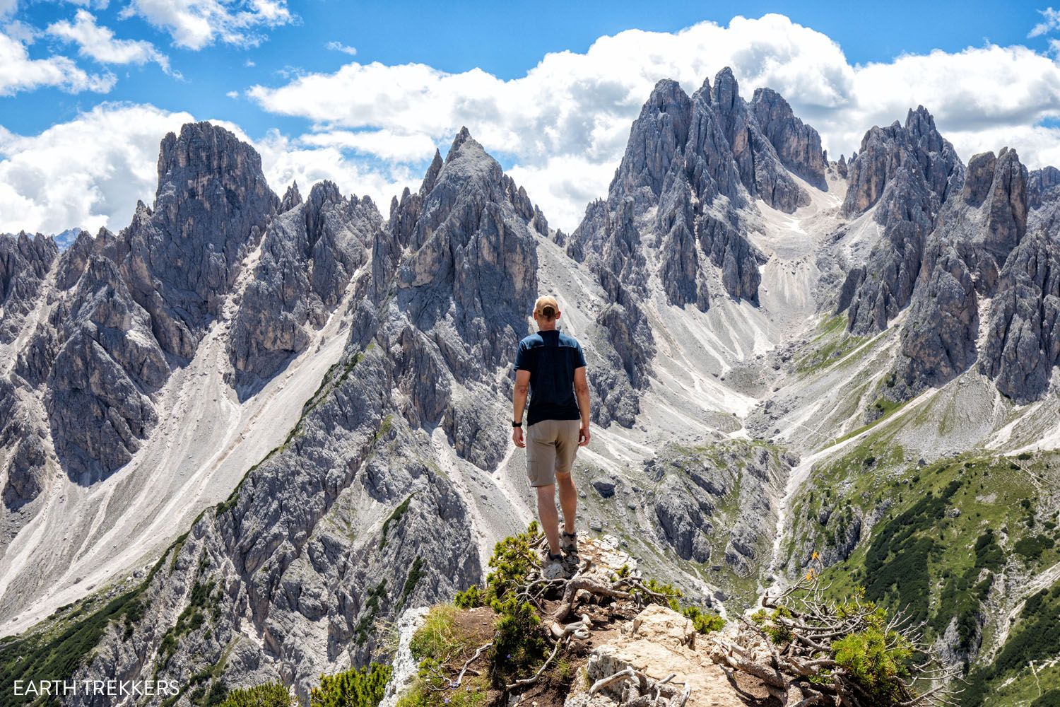
Cadini di Misurina viewpoint
Spend Some Time at Lago di Misurina
Lago di Misurina is a beautiful lake that is located less than 10 km from Rifugio Auronzo. You can go paddle boating, ride the chairlift, relax in the sun, or have lunch or dinner. We ate at Pizzeria Edelweiss and it was just what we needed after hours of hiking.
Visit Lago di Dobbiaco
This is another beautiful lake to visit. From Rifugio Auronzo it is a 30-minute drive to get here. You can have lunch or dinner at one of the restaurants next to the lake or take a stroll along the lakeshore.
If you have any questions about the Tre Cime di Lavaredo hike, or if you want to share your experience, let us know in the comment section below.
More Information about Italy
We have TONS more information about Italy in our Italy Travel Guide, including Rome, Florence, Venice, Tuscany, the Dolomites, the Amalfi Coast, the Cinque Terre, and Puglia.

Comments 95