The Matterhorn Glacier Trail is one of the easiest and most scenic hikes to do in Zermatt. This point-to-point trail weaves its way between alpine lakes and along the way you get up close views of the Matterhorn. Since it is done one-way and is a mostly downhill hike, this is a great trail for all ages and ability levels.
The Matterhorn Glacier Trail can easily be added onto a visit to Matterhorn Glacier Paradise and you can also add on the hike to Hörnlihütte. In this guide, we cover everything you need to know to do this hike and add on these other must-have experiences.
About Our Experience
I hiked the Matterhorn Glacier Trail solo while Tim, Tyler, and Kara climbed Breithorn. We only had a few days in Zermatt and wanted to cover as much as possible, so we split up for a few hours for these two different experiences.
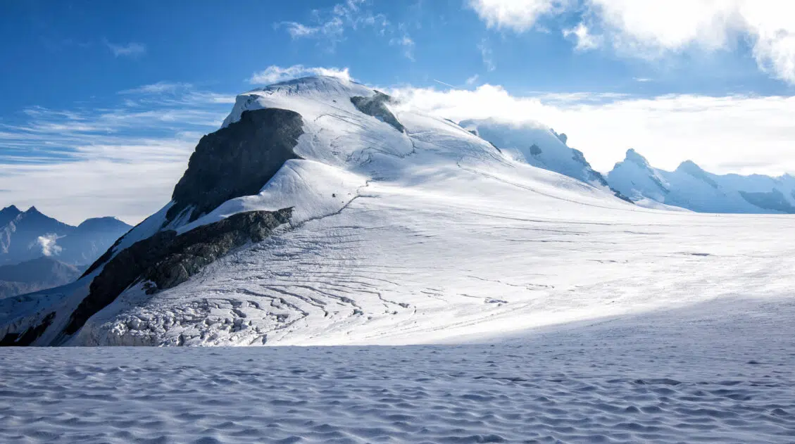
Breithorn is an awesome experience to add to your Zermatt to-do list, especially if you are looking to add a little adventure to your visit. Breithorn is one of the easiest 4,000+ meter summits in the Alps and the view from the top is incredible. To do this, you need special equipment and a guide, but mountaineering experience is not necessary…just a good level of physical fitness. Get the full details in our Guide to Breithorn.
Matterhorn Glacier Trail Hiking Statistics
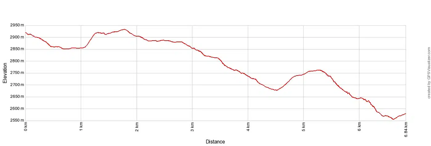
Distance: 6.8 km (4.25 miles) point-to-point
Difficulty: Easy
Total Ascent: 230 meters (750 feet)
Total Descent: 580 meters (1,900 feet)
Starting Elevation (Trockener Steg): 2,910 meters (9,543 feet)
Ending Elevation (Schwarzsee): 2,535 meters (8,318 feet)
Length of Time: 2 to 3 hours
When to Go: June through September
Best Time of Day: Morning, ideally starting by 9 am. The lighting on the Matterhorn is perfect, crowds are still low, and it’s best to finish the hike by 1 pm, when thunderstorm chances increase. Plus, from mid-morning to midday, it’s not uncommon for clouds to begin to form around the Matterhorn so if you want to see it cloud-free, early morning is the best time to do this hike.
Bathrooms: Trockener Steg station and the Schwarzsee station
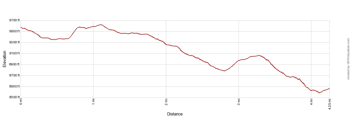
Matterhorn Glacier Trail Elevation Profile: Trockener Steg to Schwarzsee
Quick Overview of the Trail
The Matterhorn Glacier Trail is Trail #26. On hiking signs, it is labeled “Matterhorn Glacier Trail.”
This hike is done point-to-point. The trail starts at Trockener Steg and ends at the Schwarzsee station. By doing it in this direction, it is an overall downhill hike. You can do it in the opposite direction, but it becomes a moderately difficult trail that will take 3 to 4 hours.
I recommend hiking the Matterhorn Glacier Trail from Trockener Steg, not only because it’s much easier in this direction, but for most of the hike, the Matterhorn is right in front of you, and it is an awesome sight.
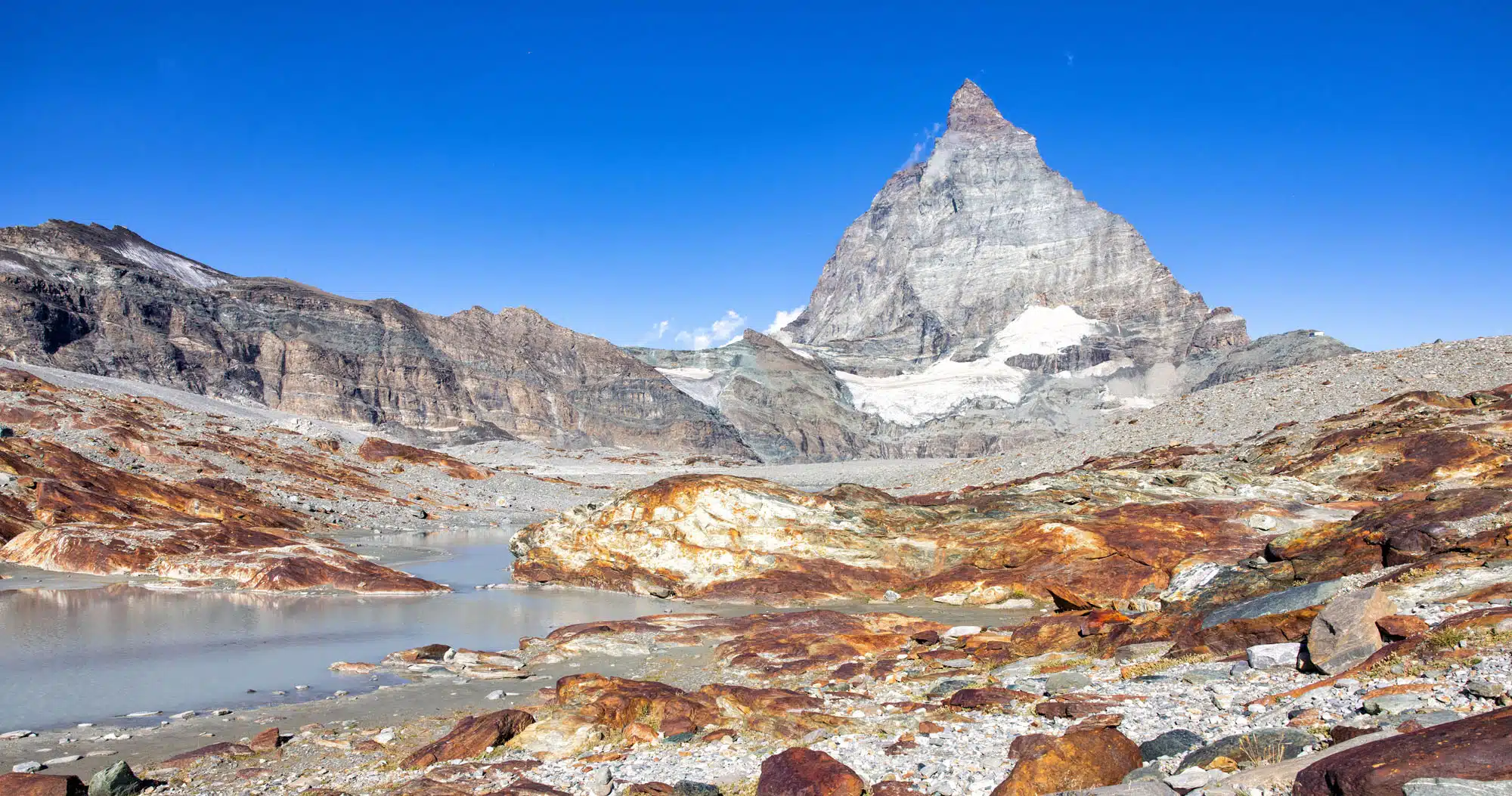
The Matterhorn Glacier Trail travels through a barren, rocky wilderness with very little signs of life. Since 1850, the Furgg and Theodul Glaciers have retreated, leaving behind this almost lunar landscape. As you hike the trail, information panels provide information about the glaciers’ retreat.
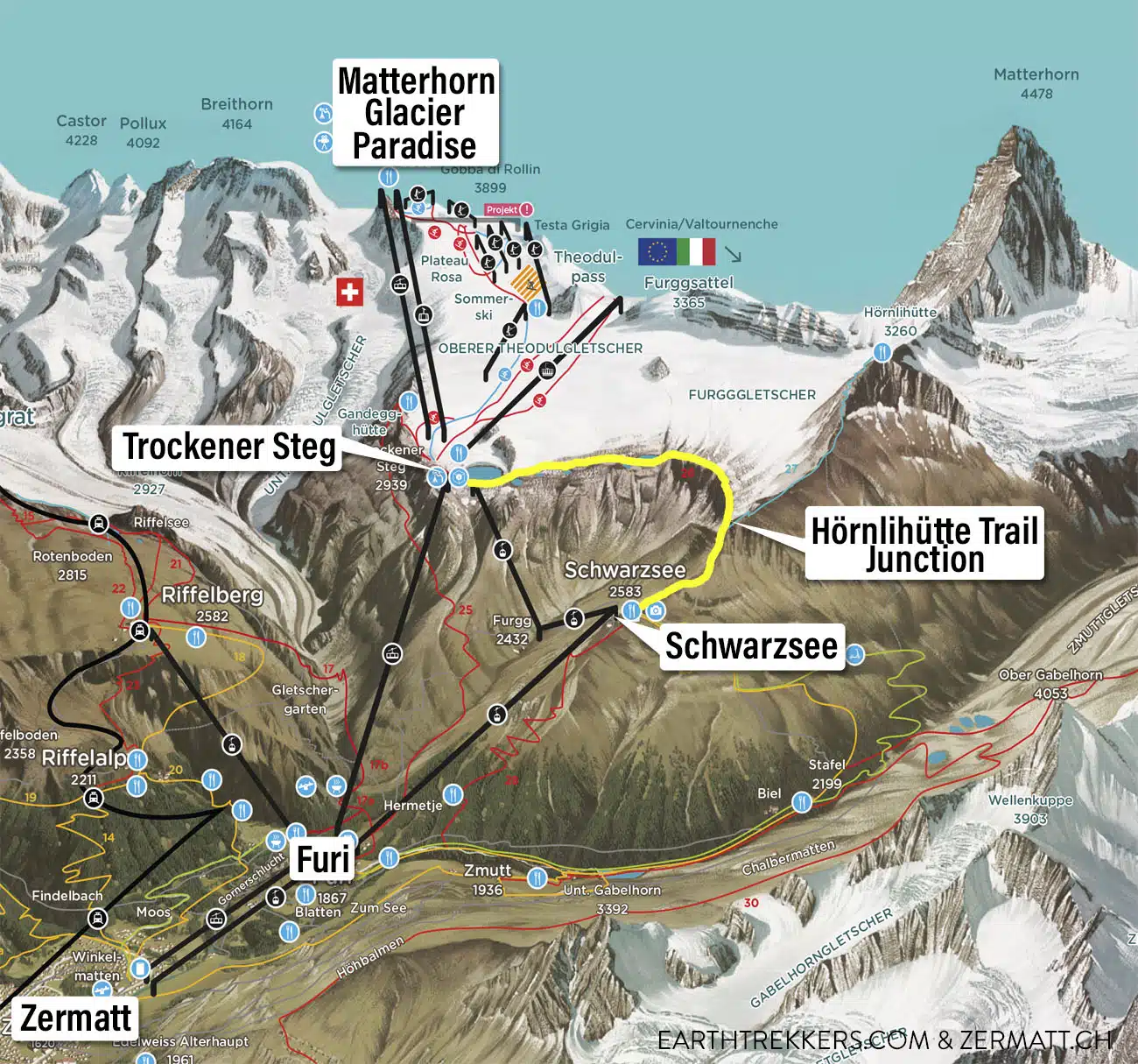
Matterhorn Glacier Trail Map (the trail is the bright yellow line) | source: www.zermatt.ch
How to Get to Trockener Steg
Trockener Steg is one of the cable car stations on the way to Matterhorn Glacier Paradise from Zermatt. To get here, there are two different routes.
Both routes start in Zermatt at the Zermatt Bergbahnen, which is on the south side of town. From the town center, it is a 10-to-15-minute walk to get here. These times listed below are for the summer (early July through late August). Hours change according to the time of year. Get the updated timetable here.
From 7:00 am to 8:00 am
If you are planning to travel to Trockener Steg and/or Matterhorn Glacier Paradise early in the morning, the first gondola leaves Zermatt Bergbahnen at 7:00 am. In Furi, you will take the Furi – Trockener Steg cable car (first ascent at 7:15 am) to Trockener Steg. From Trockener Steg, you can start hiking the Matterhorn Glacier Paradise trail or continue to Matterhorn Glacier Paradise.
From 8 am to 4:30 pm
If you start later in the morning, the route to Trockener Steg is different.
The Furi – Trockener Steg cable car only runs from 7:15 am to 8:00 am. After 8:00 am, from Furi, take the Furi – Schwarzsee gondola and continue to Trockener Steg. It passes through two stations, Schwarzsee and Furgg, but you do not have to get off and transfer at these stations. The gondola will take you all the way up to Trockener Steg.
If you only plan on doing the Matterhorn Glacier Trail (and not add on Matterhorn Glacier Paradise), purchasing a Kombi-Ticket is the most economical option. This ticket includes your transportation from Zermatt to Trockener Steg and Schwarzsee to Zermatt. You can purchase your ticket online or at the cable car station in Zermatt. Prices vary but expect to pay about 77 CHF (plus you get a discount with a Swiss Travel Pass). Get updated pricing here.
Adding on Matterhorn Glacier Paradise
Once at Trockener Steg, you have traveled most of the way to Matterhorn Glacier Paradise. In my opinion, it’s absolutely worth it to add Matterhorn Glacier Paradise to this hike.
At 3,883 meters (12,740 feet), Matterhorn Glacier Paradise is the highest cable car station in Europe. A visit here takes one to three hours. While here, enjoy 360° views from the viewing platform, visit the Glacier Palace, go skiing, and summit Breithorn (this adds on another 4 hours to the visit).
I recommend visiting Matterhorn Glacier Paradise first and then hike the Matterhorn Glacier Trail. From Matterhorn Glacier Paradise, ride the cable car to Trockener Steg and then hike to Schwarzsee.
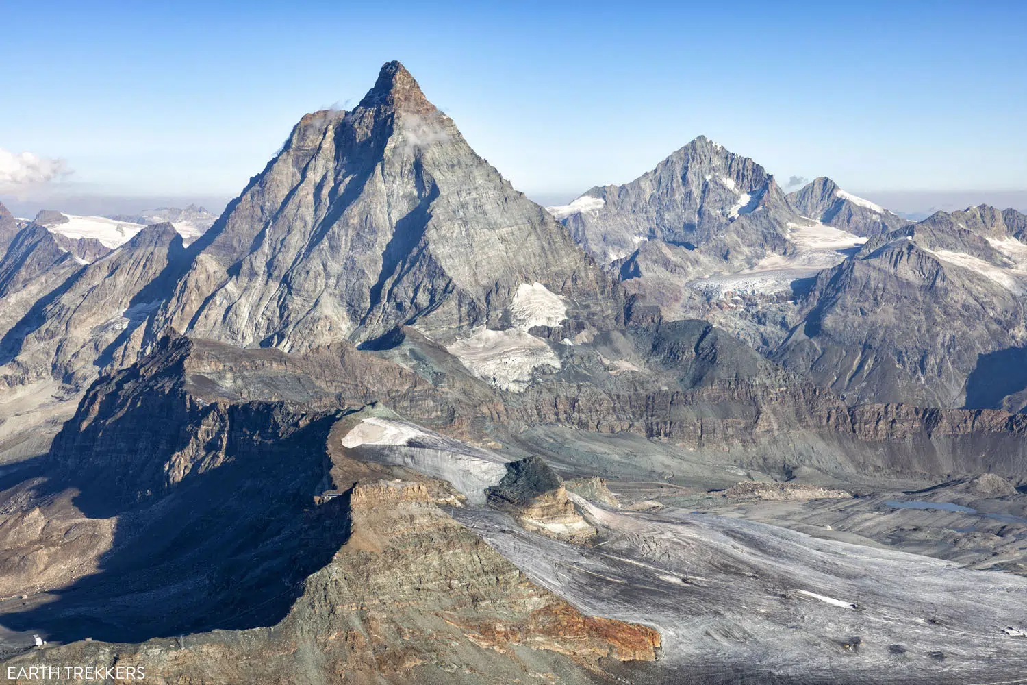
The view of the Matterhorn from Matterhorn Glacier Paradise.
How to Hike the Matterhorn Glacier Trail
Step-By-Step Trail Guide
Trockener Steg to Hirli
Exit the Trockener Steg station and head towards the Info Cube. If you want to learn more about the design and construction of the Matterhorn Glacier Express cable car, this very small museum only takes a few minutes of your time.
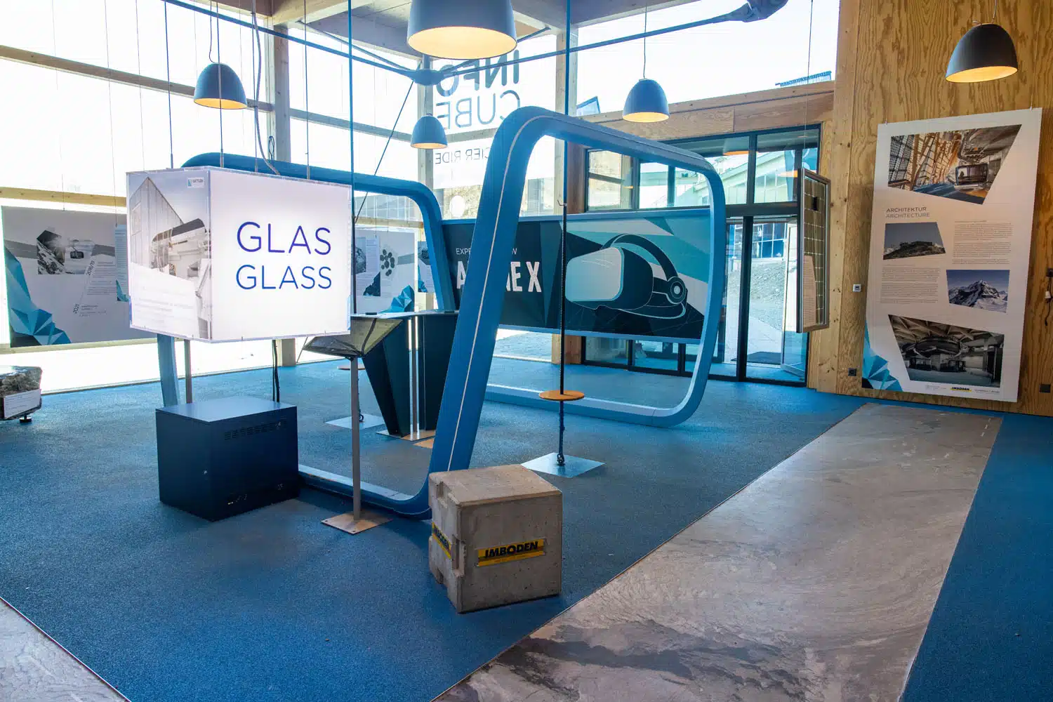
Inside the Info Cube
From the Info Cube, walk downhill in the direction of the gray lake and the Matterhorn. I did not see any trail signs here but once at the lake, you will be able to see the white and red painted lines on the rocks, marking the trail.
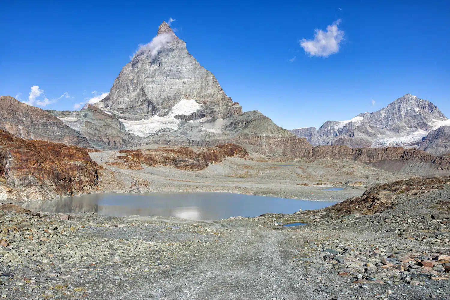
The view as you walk from the Info Cube towards the lake.
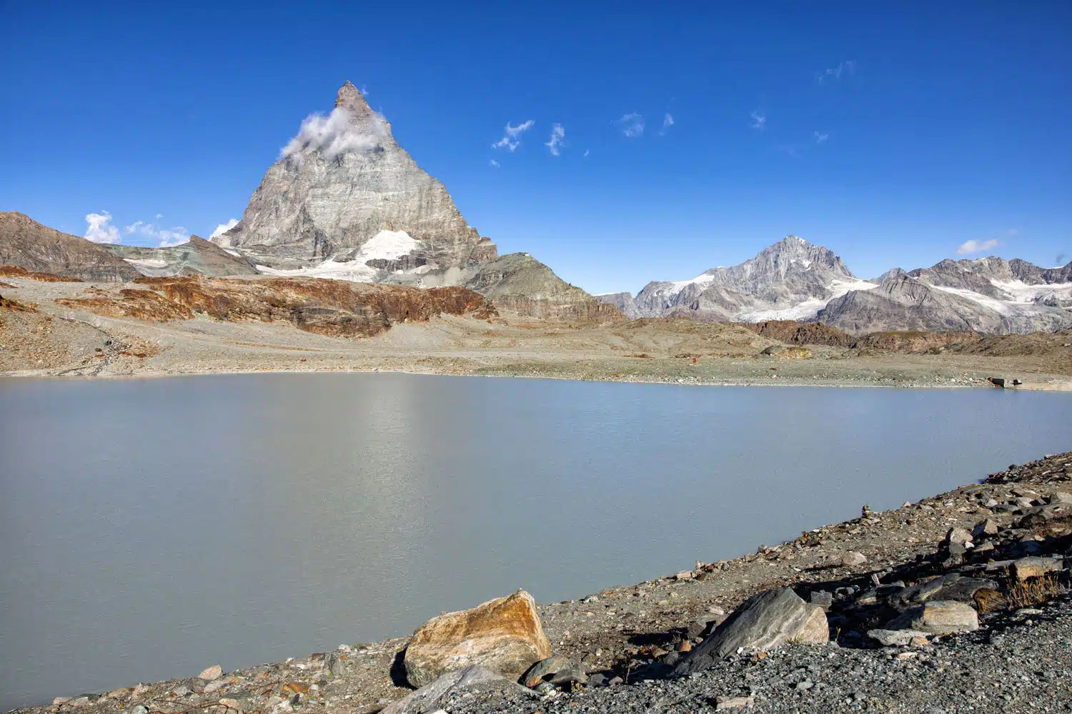
A view of the lake and the Matterhorn.
The trail loops around the north side of the lake, crosses a small stream, and then briefly heads uphill. Here are a few photos from the first section of the hike.
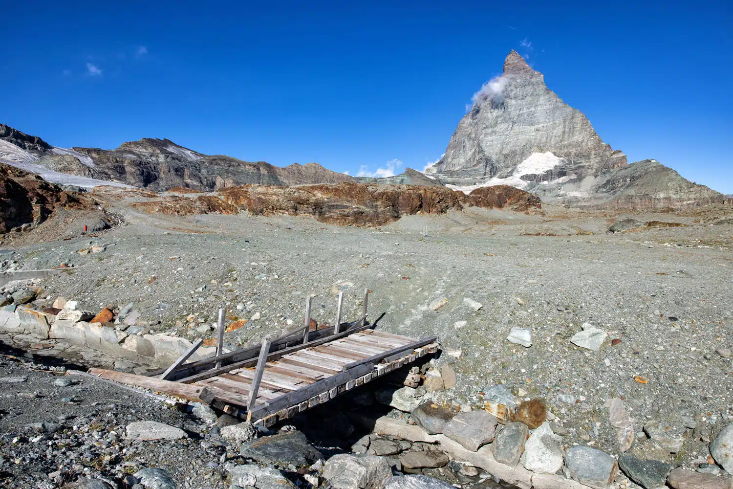
On the far side of the lake, you will cross this small bridge to continue on the trail.
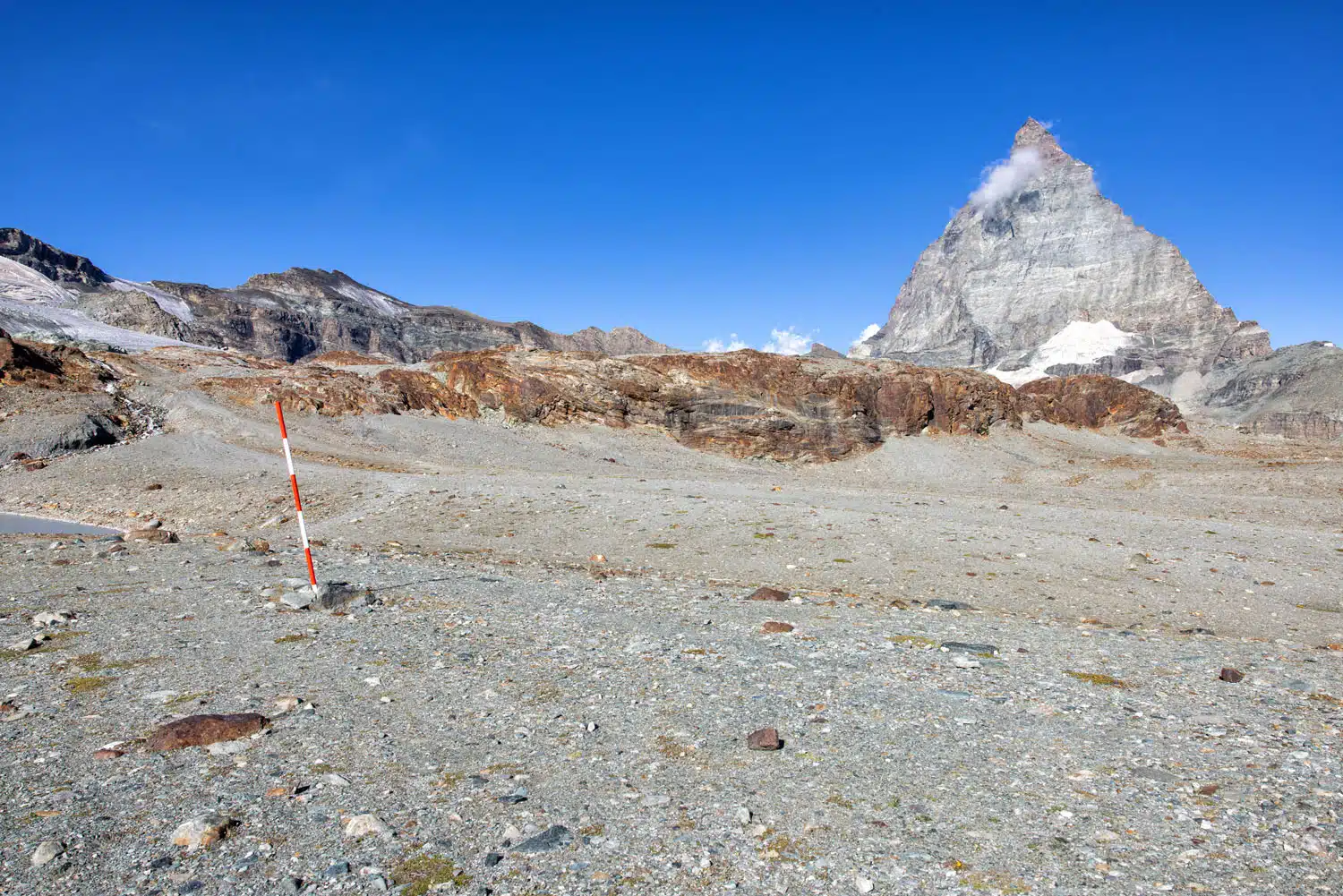
Follow the red and white trail markers around the lake and then up the small hill in the distance.
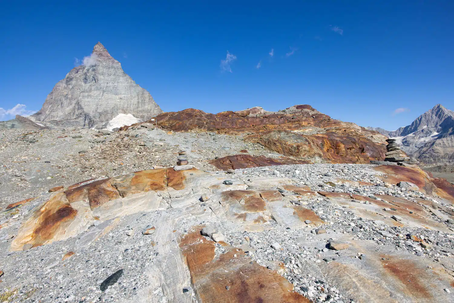
The trail leading up the small hill.
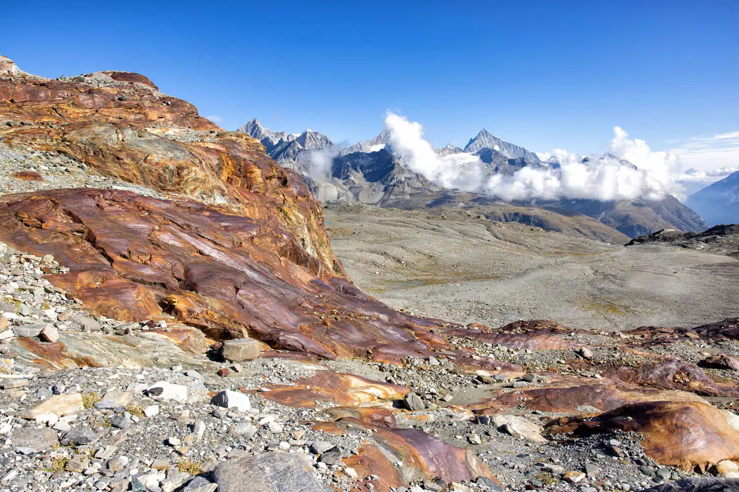
The view from the trail.
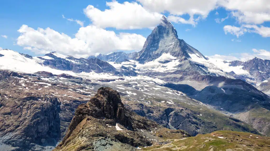
Once on top of this short climb, the view opens up more in all directions. In front of you is the Matterhorn and a cluster of small glacial lakes. Behind you is Klein Matterhorn (the location of Matterhorn Glacier Paradise) and Breithorn.
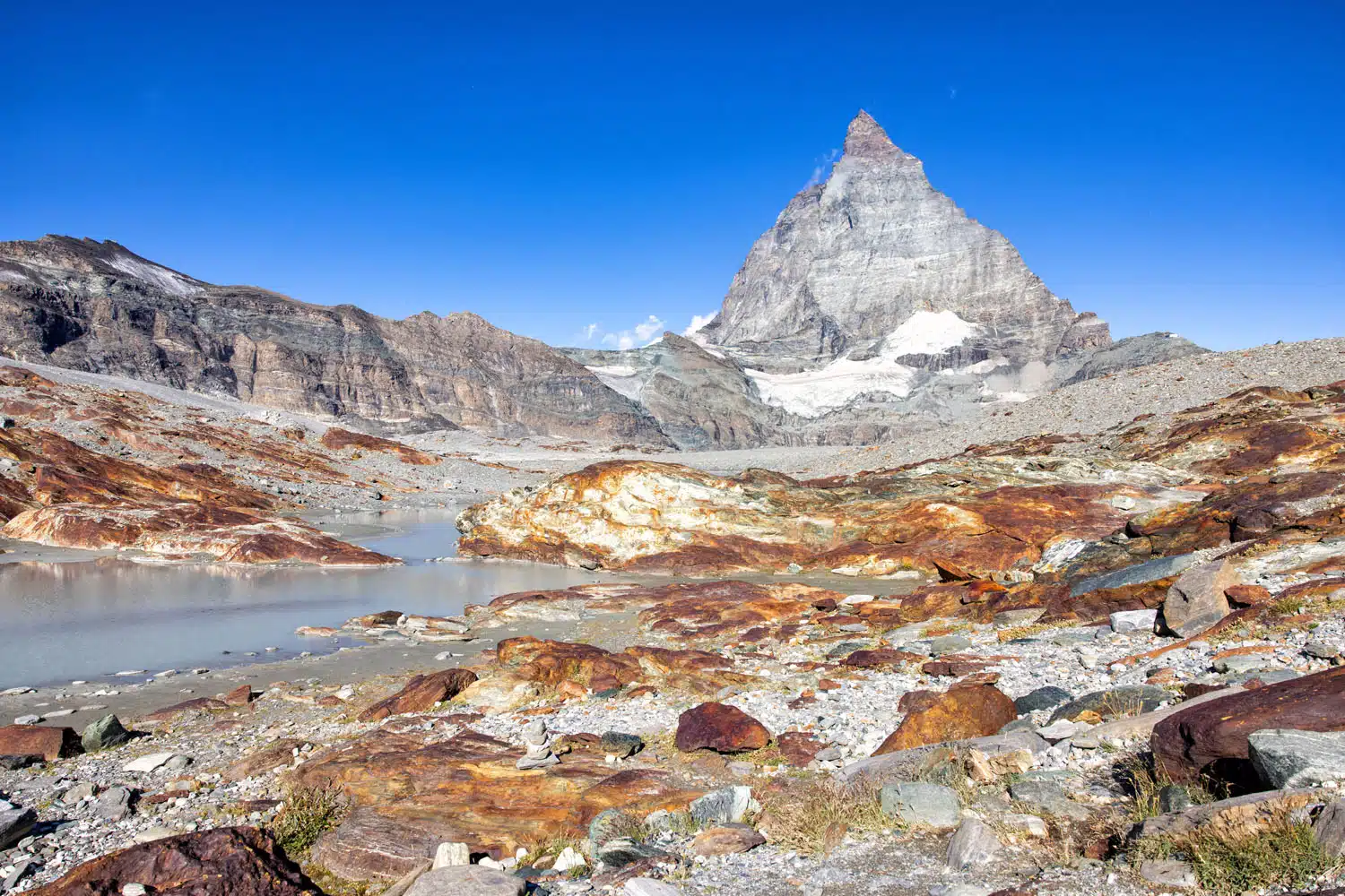
The view from the top of the hill.
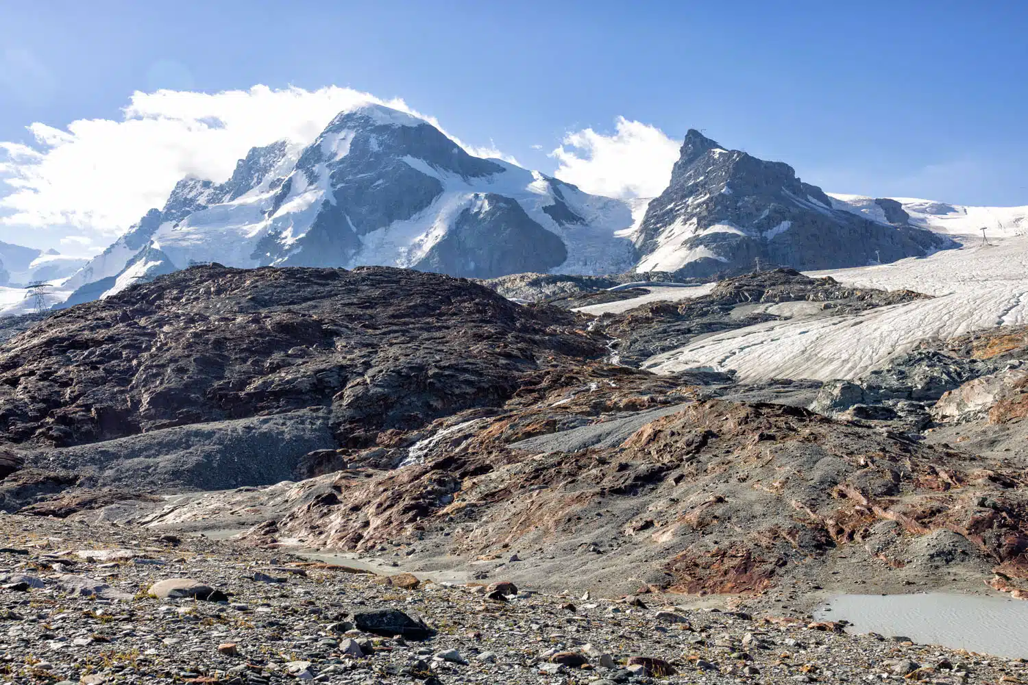
If you turn around you can see Breithorn (the snow-covered peak on the left) and Klein Matterhorn (the gray, rocky peak on the right).
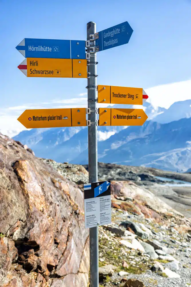
The trail is well marked with signs like this one, as well as red and white poles and rock cairns.
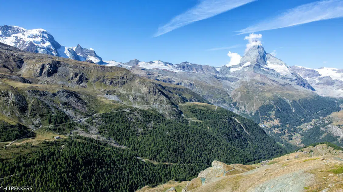
For the next 2 miles, the trail gradually descends. You will pass small lakes and have ever changing views of the mountains around you. You also get closer to Matterhorn.
I started the hike at 9 am (I rode up to Matterhorn Glacier Paradise to watch as Tim, Tyler, and Kara strapped on crampons and harnesses and began their hike to the summit of Breithorn). By 9:45 am, clouds began forming around Matterhorn. We spent four days in Zermatt in August 2022 and this trend of the Matterhorn clouding up mid-morning happened each day that we were here. Each day, we also had afternoon showers or thunderstorms.
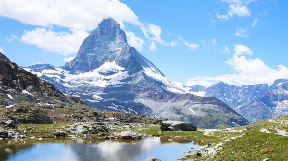
As you hike past the lakes, it’s possible to capture the reflection of the Matterhorn, as long as the winds are calm. I did this on a slightly breezy day, so I was not so lucky.
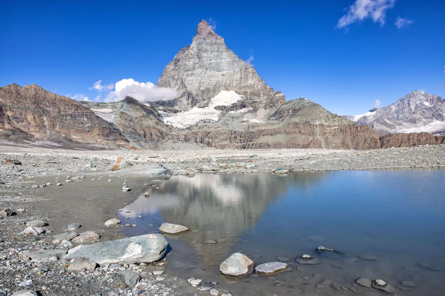
On a calm day, it is possible to capture the reflection of the Matterhorn in the lakes.
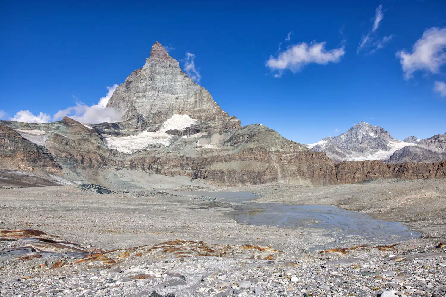
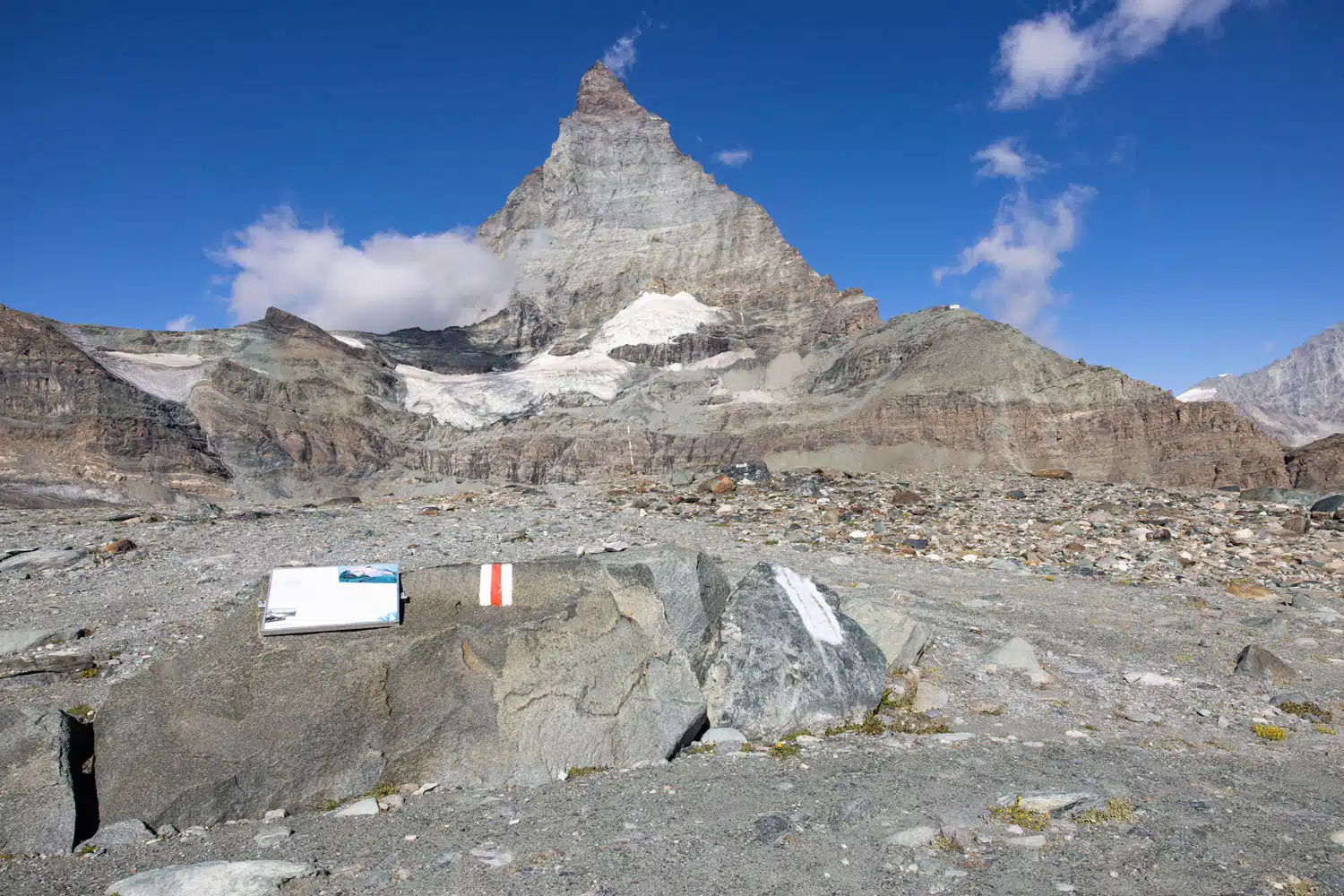
Along the trail, there are signs that explain the history of the trail and the receding glaciers.
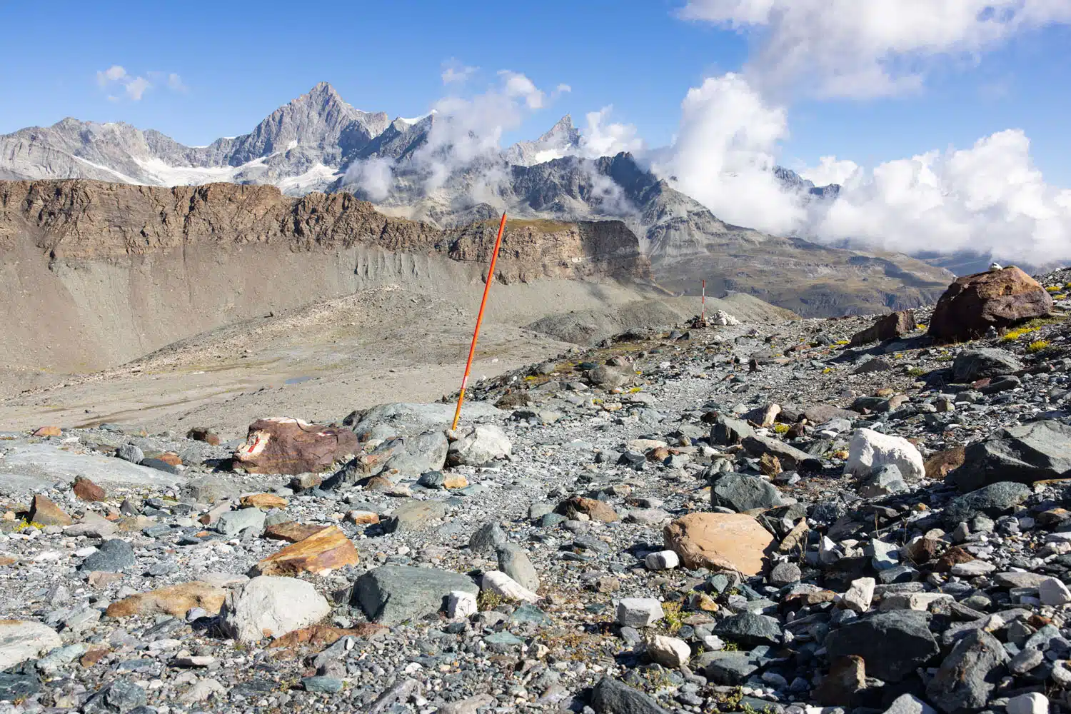
The trail before it descends into the gully.
The trail descends to a gully that sits below the Hörnlihütte. From here, you will cross a bridge and then have your biggest ascent of the hike. It takes about 10 minutes to hike to the top of this gravelly slope. Once here, the climbing is over and it is a downhill hike to Schwarzsee.
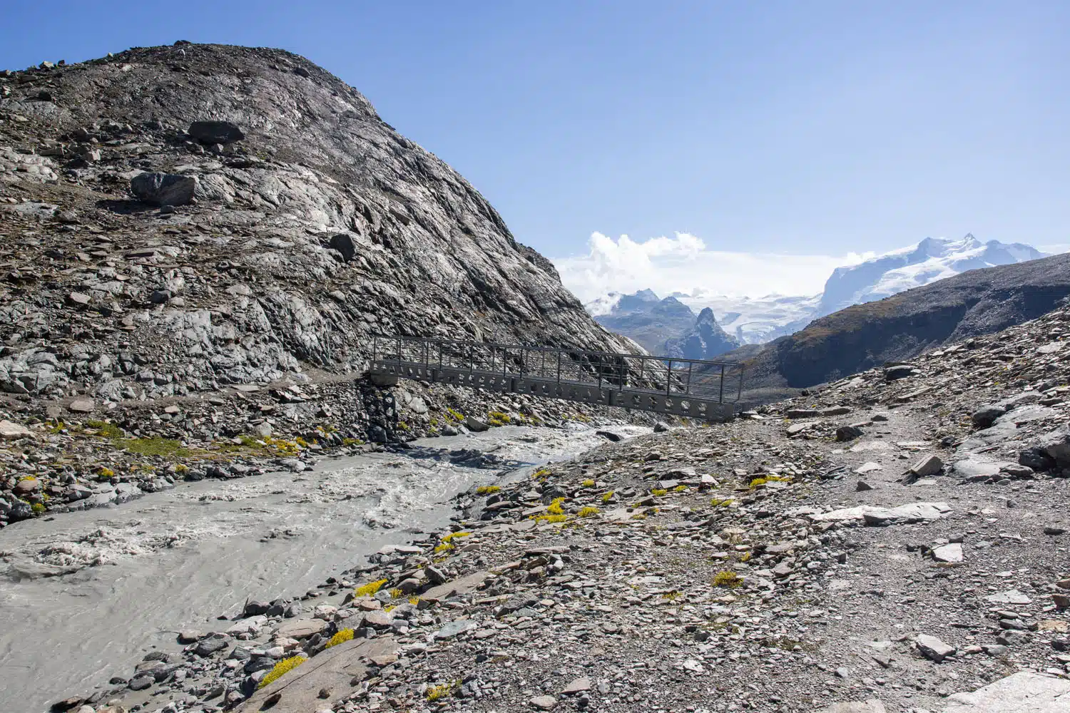
Cross this bridge and then it is a short hike up to Hirli.
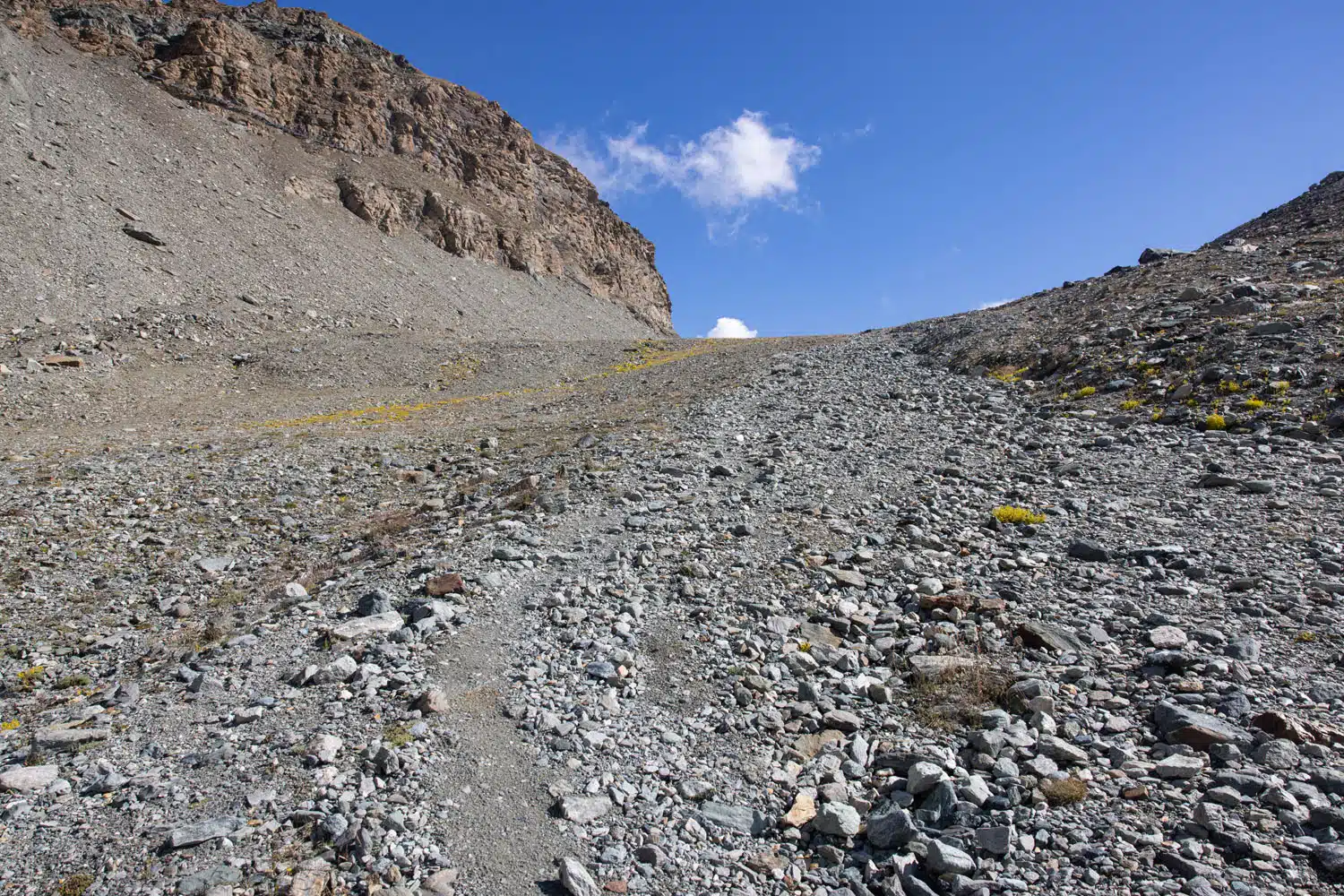
The hill climb.
At the top of the hill, you reach a trail junction. Turn left to hike the Hornliweg to the Hörnlihütte (for hiking details, read our Hörnlihütte Hiking Guide). Take the trail down to Schwarzsee to finish the Matterhorn Glacier Trail.
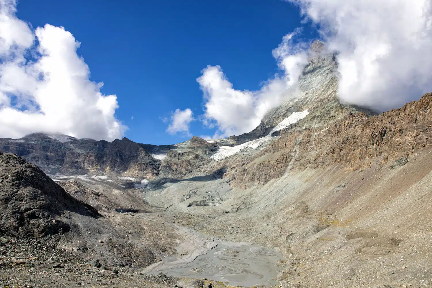
View from the top of the hill, looking back to the gully and where you came from. You can also see how quickly clouds form around the Matterhorn.
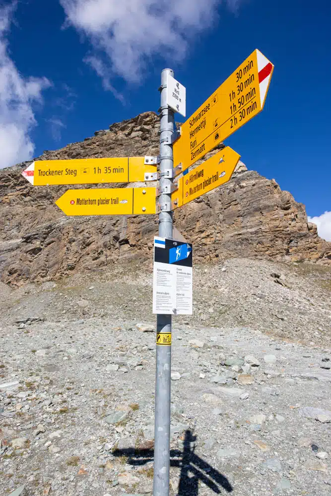
Hirli trail junction
Hirli to Schwarzsee
From the trail junction at Hirli, it is a 30-minute walk to Schwarzsee. This entire section is downhill, and even so, I think it’s the most strenuous part of the hike. At times the trail is very steep, with loose rock and slick rocks, so take your time here. Along the way, you have great views of Zermatt, Gornergrat, Monte Rosa, Breithorn, and Schwarzsee.
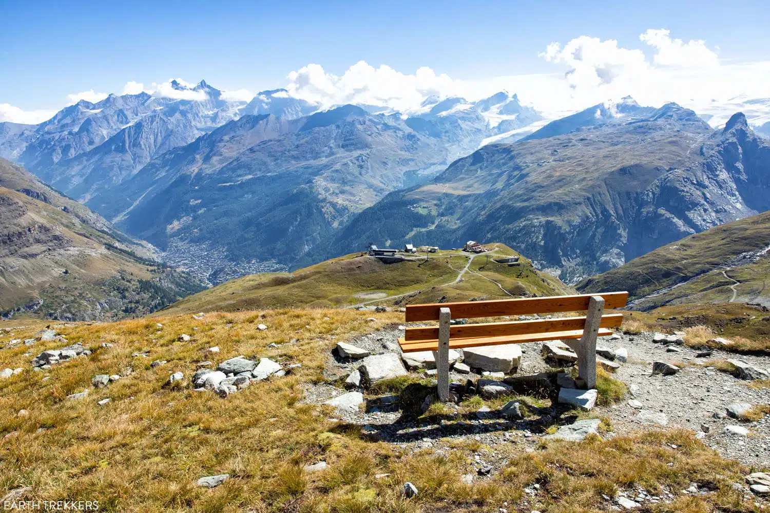
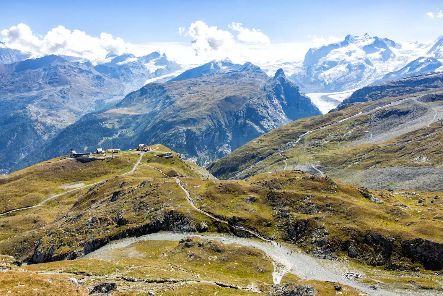
Overlooking Schwarzsee
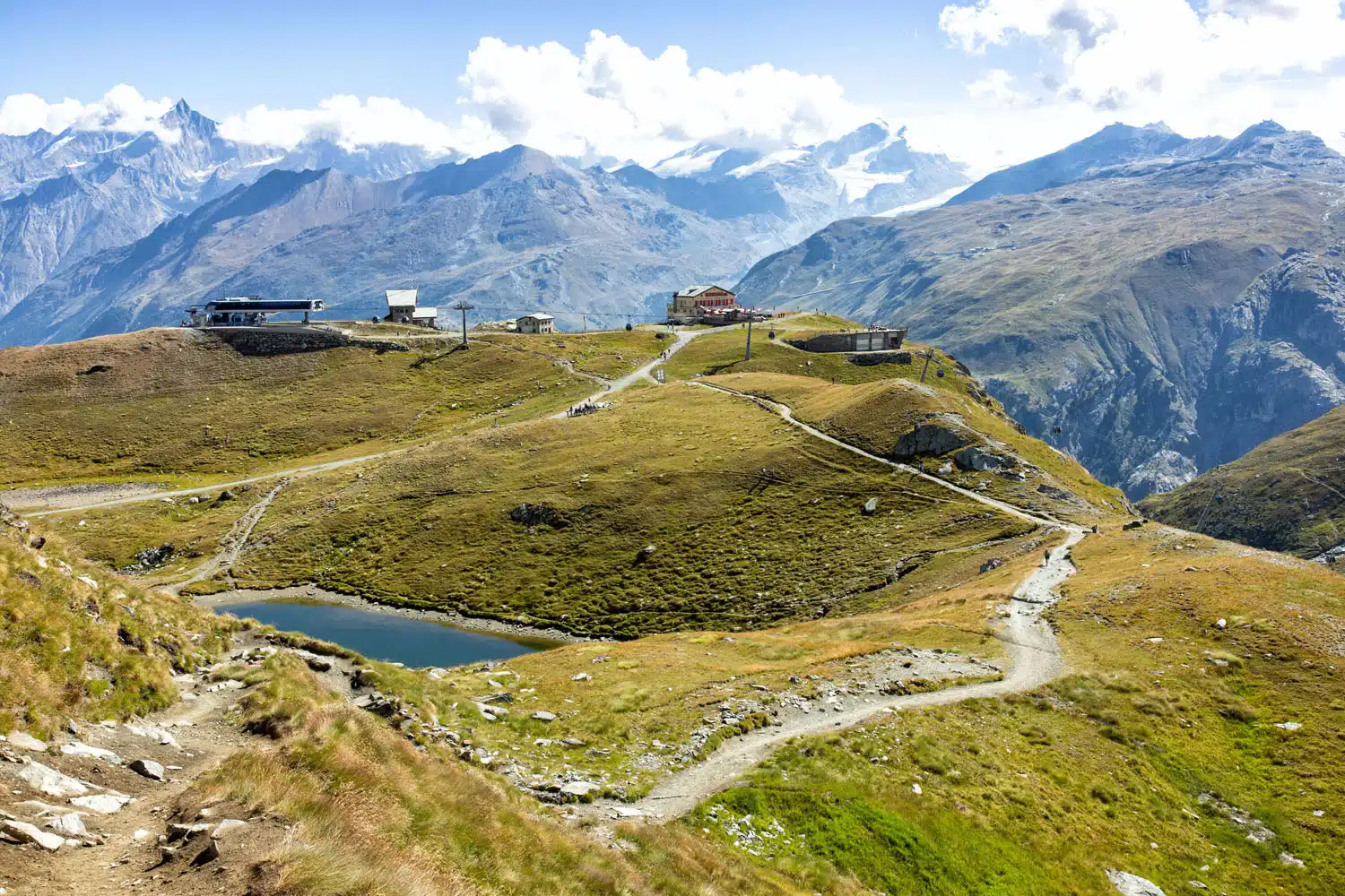
Schwarzsee station
As you approach the Schwarzsee station, you can hike down to Schwarzsee for closer views of the lake and take a photo with the Zermatt sign.
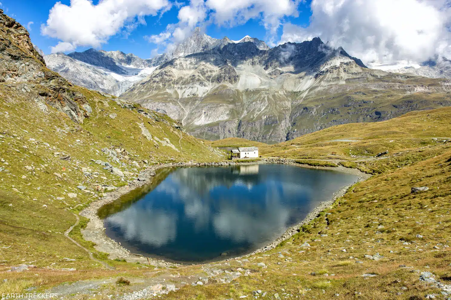
Schwarzsee
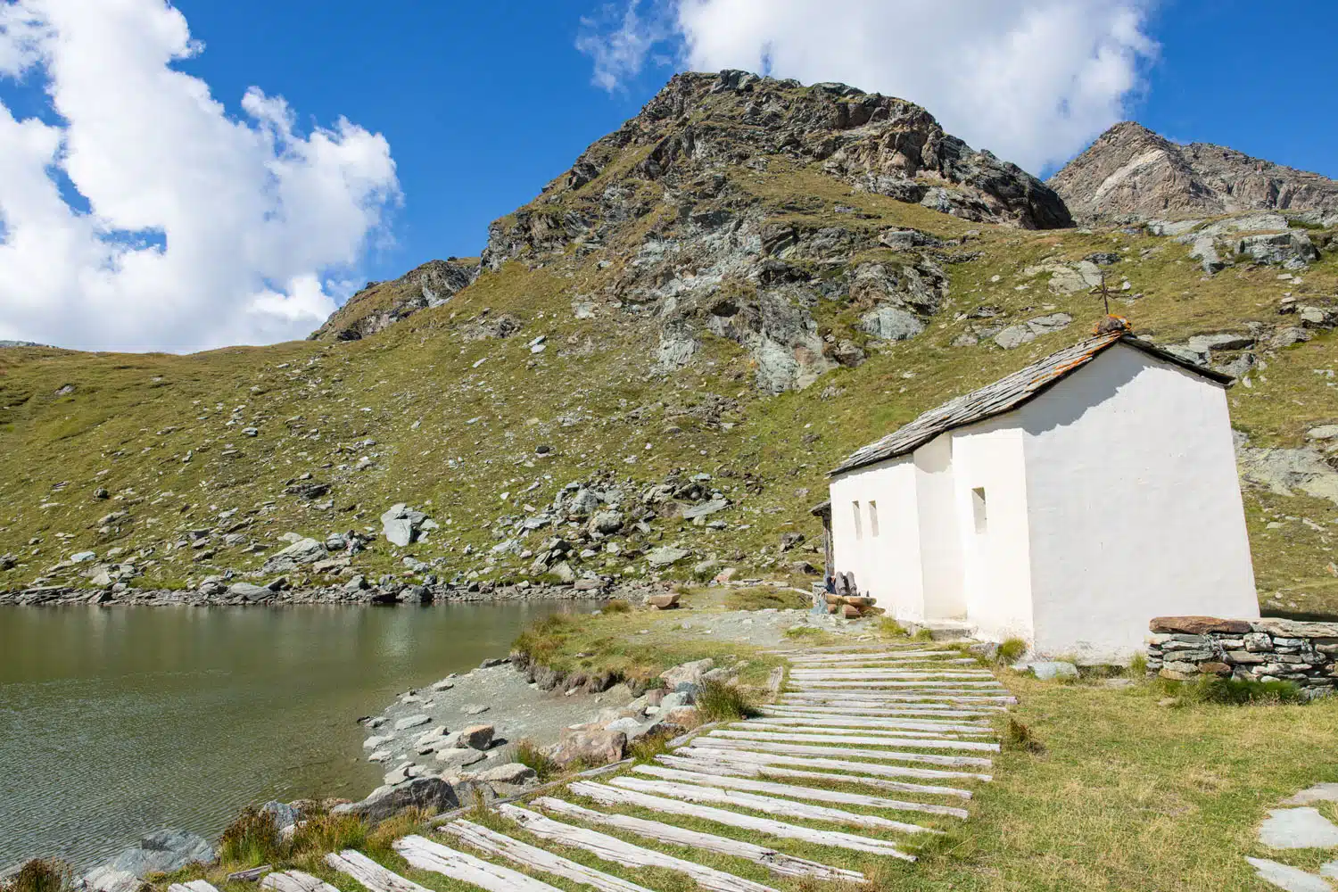
Maria zum Schnee (Mary of the Snow Chapel), the small church next to Schwarzsee.
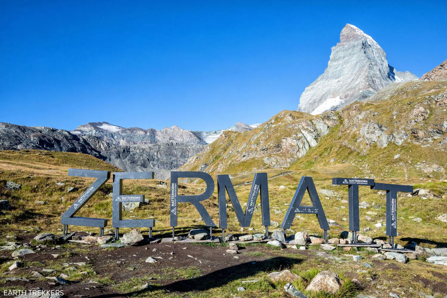
The Zermatt Sign (taken on a different day).
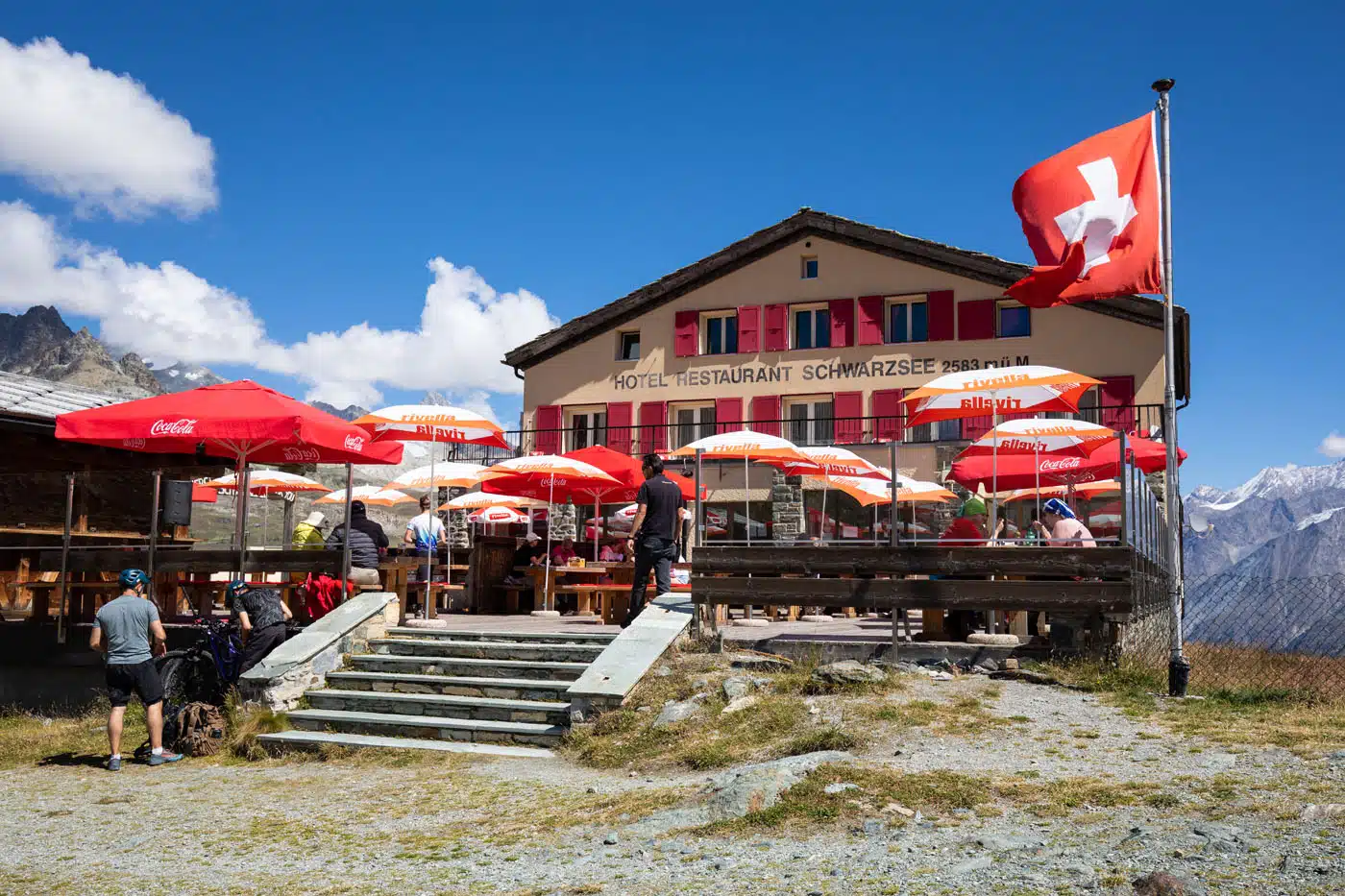
I had an early lunch at Hotel Restaurant Schwarzsee, the Valais strudel and a beer, as I waited for Tim, Tyler, and Kara to finish their Breithorn ascent. The food was good and the 360° views were very nice. I am aware that this restaurant gets bad reviews on Google but I had a very pleasant experience (fast service and friendly staff). However, later in the day, I met up with my family at Restaurant Furri in Furi and I recommend this restaurant more.
Schwarzsee to Zermatt
To return to Zermatt, ride the gondola to the Zermatt Bergbahnen station.
You also have the option to get off in Furi and have lunch at one of the restaurants here. I ended up meeting up with the rest of my family in Furi and we had a great meal (and a second lunch for me…good thing I’m hiking a lot!) at Restaurant Furri. The rosti is great, there was live music, and the ice cream sundaes were a big hit after a morning of hiking and mountain climbing.
In Furi, Aroleid gets great reviews, but they are not open 7 days a week (get hours on Google before you go).
How to Do Matterhorn Glacier Paradise, the Matterhorn Glacier Trail, and Hornlihutte in One Day
Start your day early (ideally at 7 am) to make the most of your time.
Take the series of gondolas and cable cars to Matterhorn Glacier Paradise (arriving around 8 am). Plan on spending 1 to 2 hours here.
At 10 am, ride the cable car to Trockener Steg and hike the Matterhorn Glacier Trail to Hirli. At Hirli (at roughly 12:00 pm), hike to Hörnlihütte. Have a late lunch at Hörnlihütte (at 2 pm).
At 3 pm, hike from Hörnlihütte to Schwarzsee and ride the gondola to Zermatt. The last descent is at 5 pm (double check this time here or at the cable car station) so keep this in mind when deciding how much time to spend at Hörnlihütte).
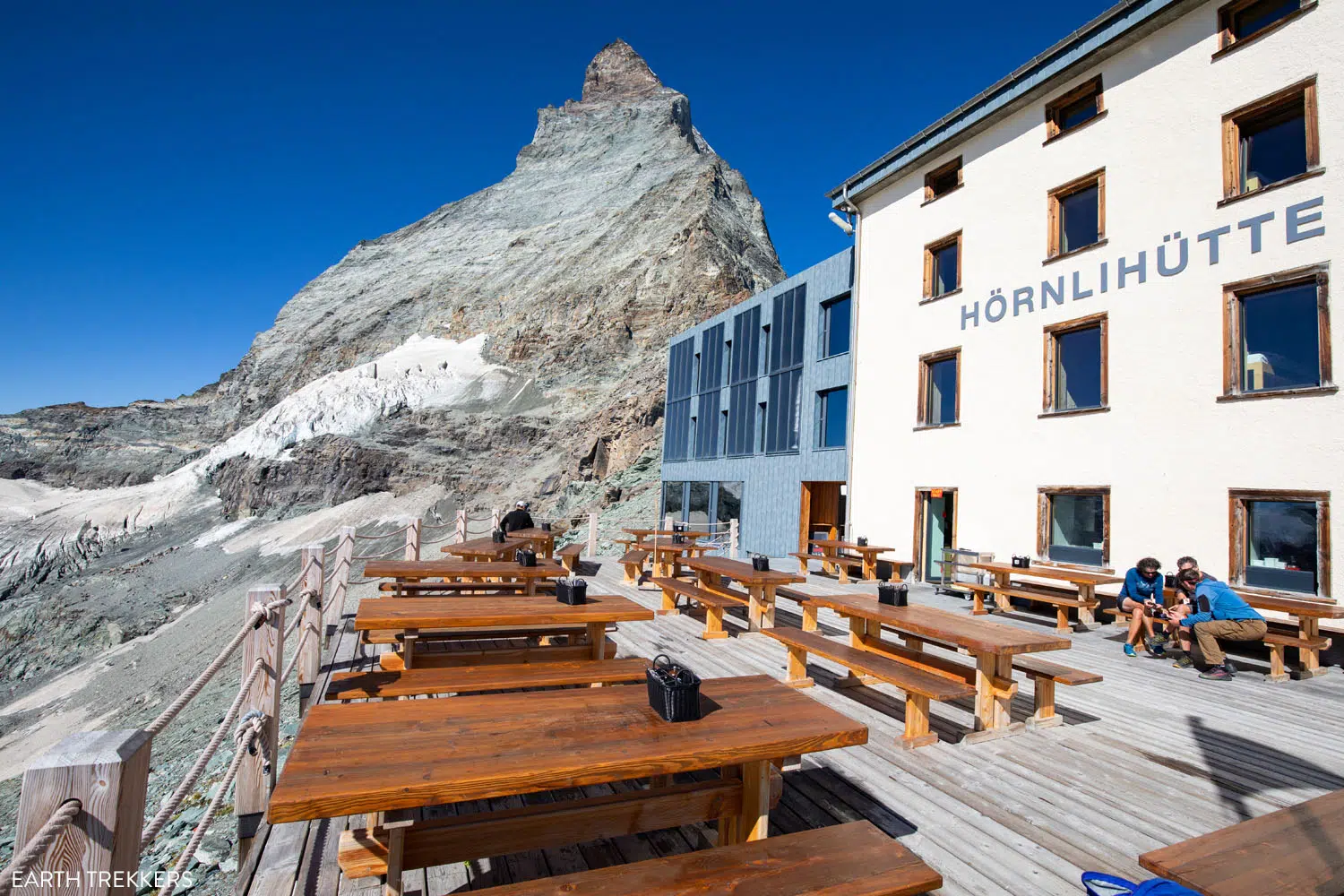
Hörnlihütte
What to Bring on the Hike
Hiking shoes. We recommend wearing hiking shoes for this hike. The trail is rough and uneven in a lot of places and you will occasionally hike on smooth rocks, which can be very slippery. The hiking shoes will give you added traction which will be very helpful on this hike.
Water. Bring at least 1 liters of water per person.
Sunscreen, hat, and sunglasses. This hiking trail is completely exposed to the sun. There is no shade along the trail.
Essential Hiking Gear: What Should You Bring on a Day Hike?
If you are new to hiking or are curious about what you should bring on a hike, check out our Hiking Gear Guide. Find out what we carry in our day packs and what we wear on the trails.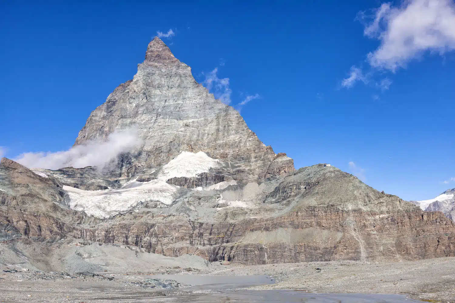
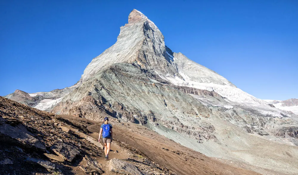
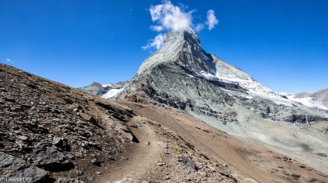
A view of the Matterhorn from the Matterhorn Glacier Trail. If you look closely, you can also see the Hörnlihütte.
Frequently Asked Questions
What time of year can you hike the Matterhorn Glacier Trail?
The official Zermatt website lists the hiking season from June through September. During this time, the summer cable cars are operating and the trail is free of snow.
Is the Matterhorn Glacier Trail worth it?
Yes, it is absolutely worth it. This hike is relatively short and easy. Since it is done point-to-point, it is a mostly downhill walk and the views are constantly changing. Plus, you get one of the best up-close views of the Matterhorn.
If you have any questions about how to hike the Matterhorn Glacier Trail, or if you want to share your experience, let us know in the comment section below.
More Information for Your Trip to Zermatt & Switzerland
We have TONS more information about Switzerland in our Switzerland Travel Guide, including Zürich, Lucerne, the Bernese Oberland, Zermatt, Lugano, and Lausanne.
Comments 19