The Southern Scenic Route is a 600+ kilometer driving route that connects Dunedin, Invercargill, Te Anau, and Queenstown, New Zealand. It is a gorgeous drive, and along the way you are treated to some of the most spectacular scenery in the country.
On this drive, you will visit quaint coastal towns, deserted beaches, waterfalls, fiords, and a long list of viewpoints that will take your breath away. Cruise the Milford Sound, go hiking, venture into a coastal cave at low tide, and keep a lookout for little blue penguins and yellow eyed penguins.
In this guide, we cover what you need to know to drive the Southern Scenic Route, with a map, things to do, and advice on how to plan your time.
Overview of the Southern Scenic Route
Distance: 610 km (380 miles)
Length of Time: 4+ days
Route: You can do this drive in either direction. In this guide, we list the route starting in Dunedin and ending in Queenstown, since that is the direction that we drove the Southern Scenic Route.
Type of Vehicle: A standard car is fine for this drive. In a few places, you may drive on a gravel road, but these are suitable for standard vehicles.
Website: On the official website for the Southern Scenic Route, you can learn more about the driving route, including information about freedom camping, fishing regulations, and safety tips.
How to Use This Map: Click the tab in the top left corner of the map to see a list of the points of interest and to turn layers on/off. Click the icons on the map to get more information about each point of interest.
To take this map with you, click the star next to the title of the map which adds it to your Google account. Next, within your Google Maps app, select ‘Saved’ and then select ‘Maps’. This map title will now appear in your list.
Things to Do on the Southern Scenic Route
This list of things to do on the Southern Scenic Route is in order, starting in Dunedin and ending in Queenstown.
Dunedin
Dunedin is the second largest city on the South Island after Christchurch. Sitting next to Dunedin is the Otago Peninsula, a small peninsula filled with scenic overlooks, deserted beaches, and several places to see little blue penguins and yellow eyed penguins.
Here is a list of the top experiences in Dunedin. To see and do everything on this list, it will take one busy day. Learn more in our guide to Dunedin and the Otago Peninsula.
- Baldwin Street (the steepest street in the world)
- Tuhura Otago Museum (don’t miss the butterfly room)
- Olveston Historic Home
- Dunedin Railway Station
- Toitu Otago Settlers Museum
- The Octagon
- Larnach Castle
- The Penguin Place
- Royal Albatross Center
- Tunnel Beach
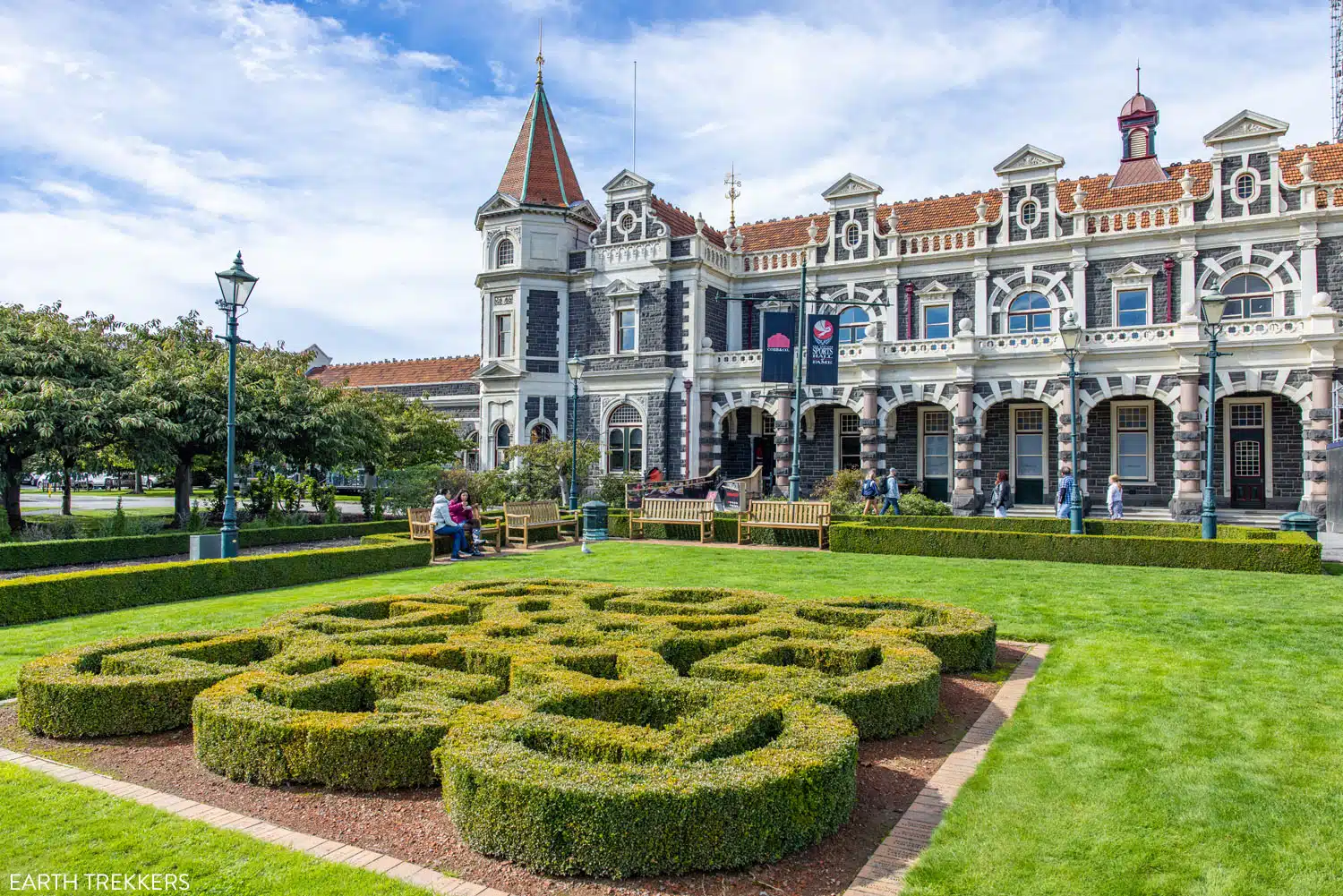
Dunedin Railway Station

Yellow eyed penguins at the Penguin Place
Tunnel Beach sits to the south of Dunedin. We visited Tunnel Beach as our first stop on the Southern Scenic Route. To get to Tunnel Beach, it is a steep, downhill, 0.8 km (0.5 mile) walk to the beach. Once at the beach, you can descend farther in the tunnel for a different view of the coastline. Then, it is a steep, tiring, uphill walk (145 meters/470 feet of ascent) to get back to your car. A visit here lasts about an hour.
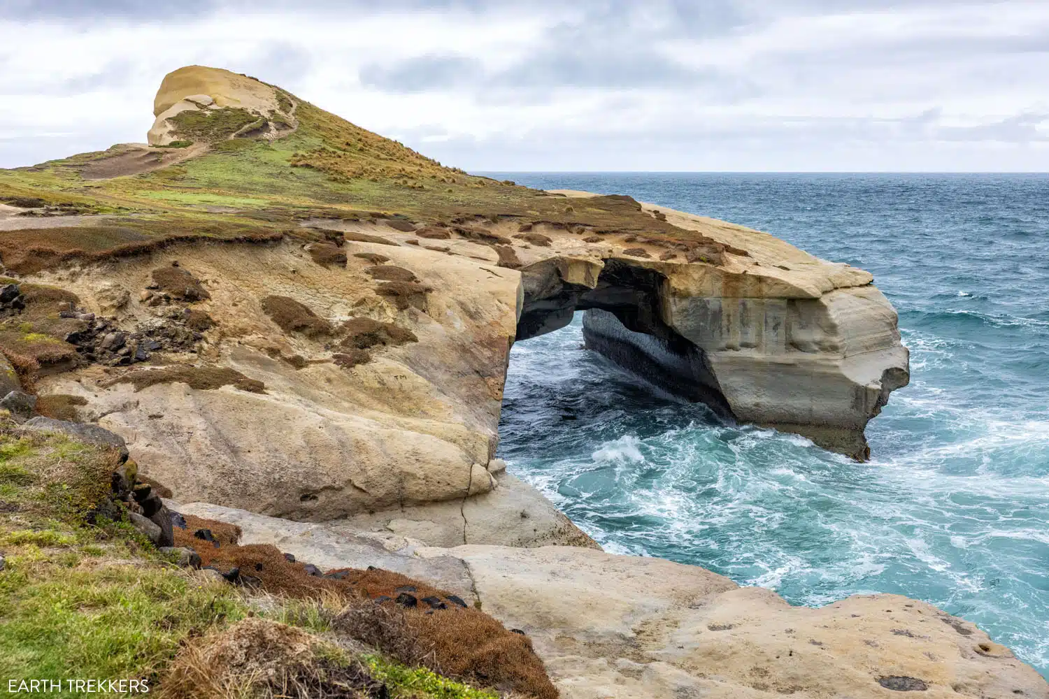
Tunnel Beach
Kaka Point
Kaka Point is a tiny coastal town that is located on the southeastern coast of the South Island. You’ll drive through this town, and the winding roads along the coastline, to get to one of our favorite stops on the Southern Scenic Route, Nugget Point Lighthouse. From Ahuriri Flat, it is a 20-minute drive to get to Kaka Point and Nugget Point.
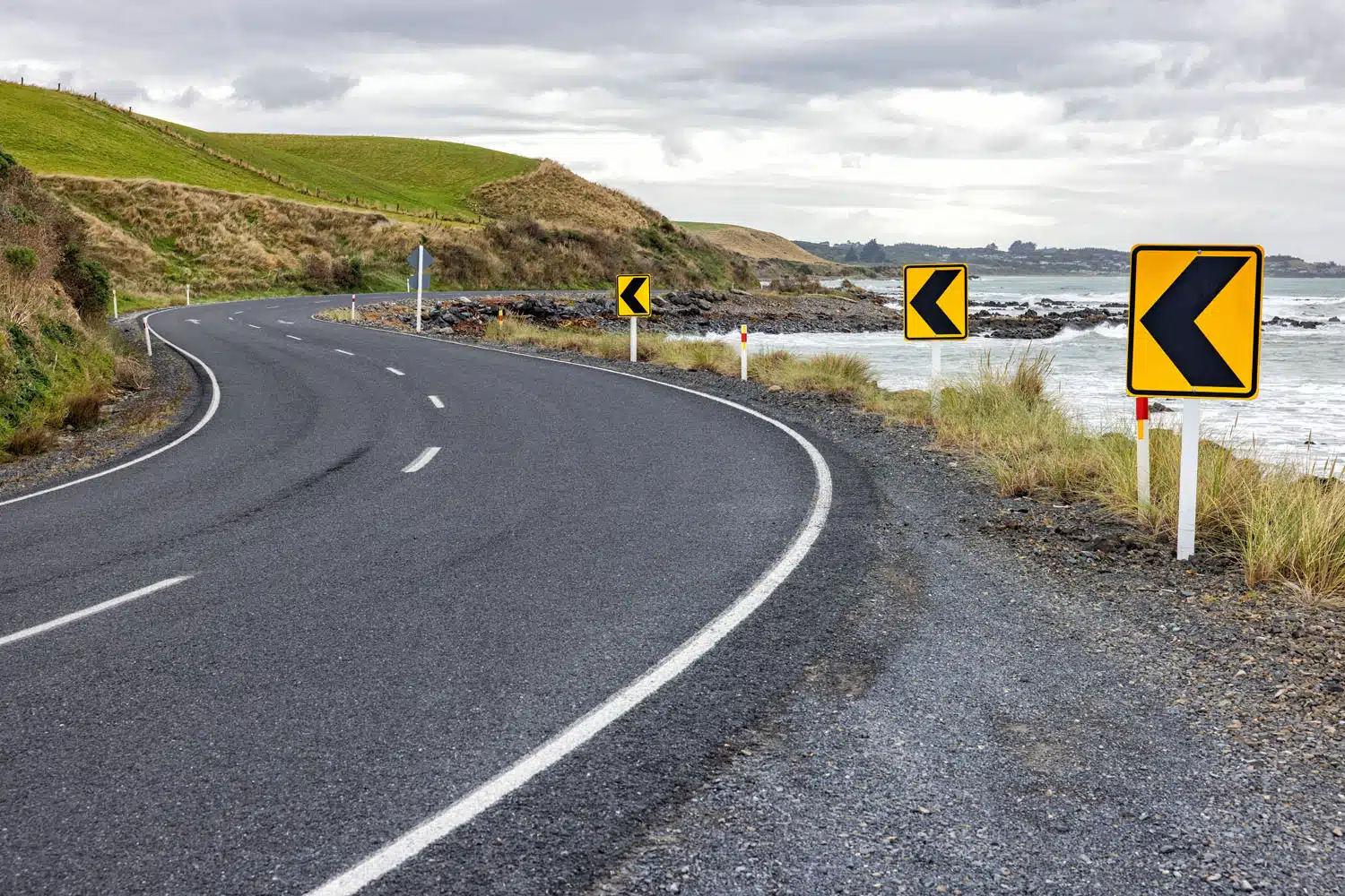
The coastal road near Kaka Point.
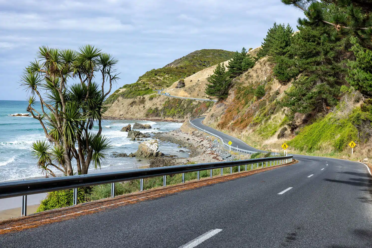
The drive from Kaka Point to Nugget Point Lighthouse
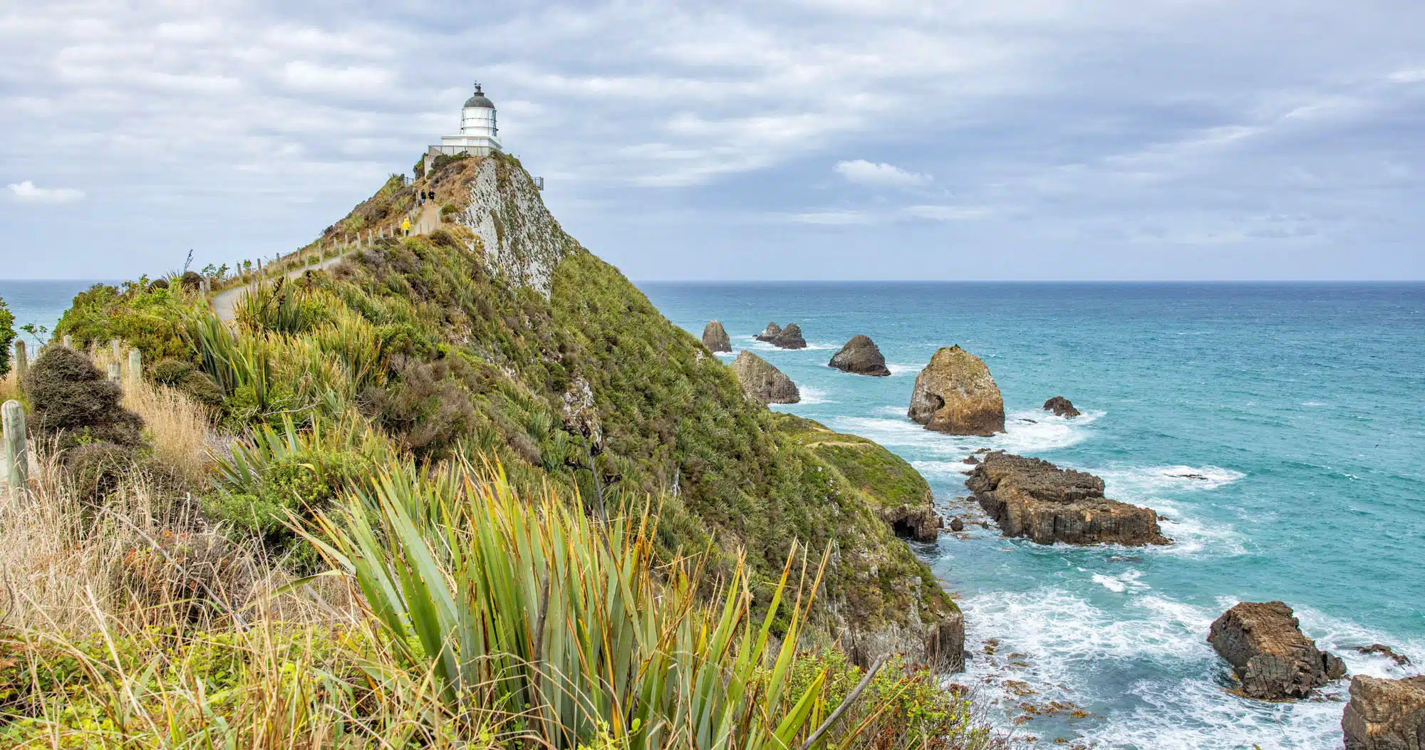
Nugget Point Lighthouse
The drive onto the Nugget Point peninsula is on a very narrow, winding road (The Nuggets Road). In some spots it is only wide enough for one car so take your time here.
On this drive, you will pass a parking lot for the Roaring Bay Penguins and Seals Observatory. It is a short walk out to this viewpoint. We didn’t see any seals or penguins during our visit but maybe you will have better luck. Here’s the view.
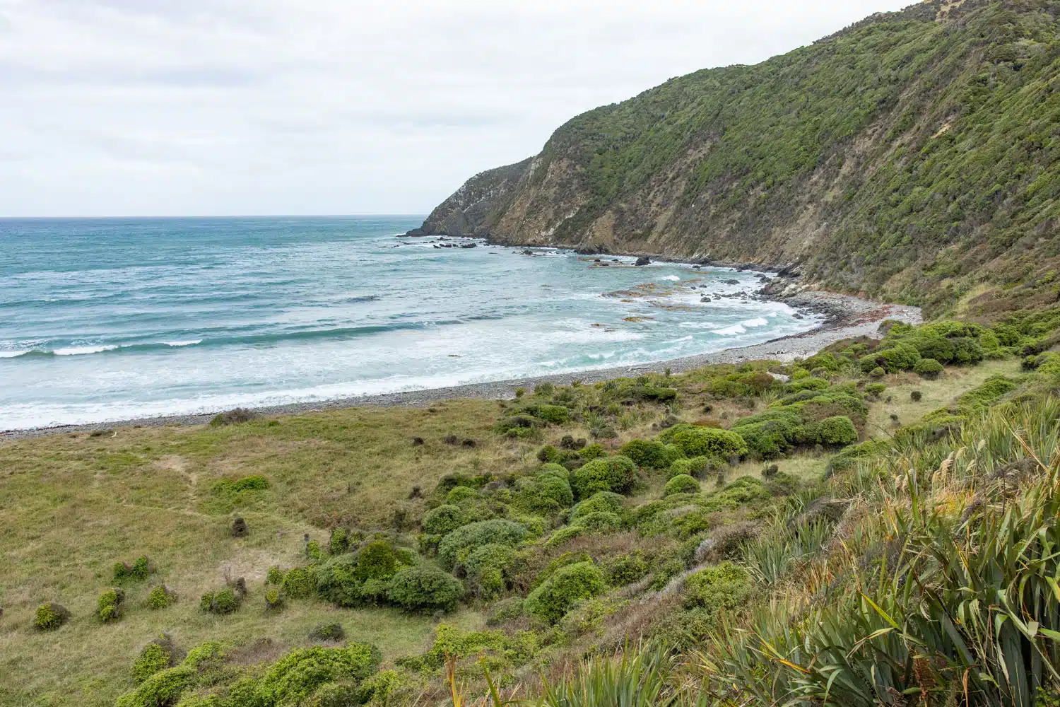
Roaring Bay Penguins and Seals Observatory
Continue the drive to the end of the road. From the car park, it is a 0.8 km/0.5 mile walk (about 15 minutes) to get to the lighthouse. It is worth going all the way out to the lighthouse in order to see the archipelago that it overlooks.
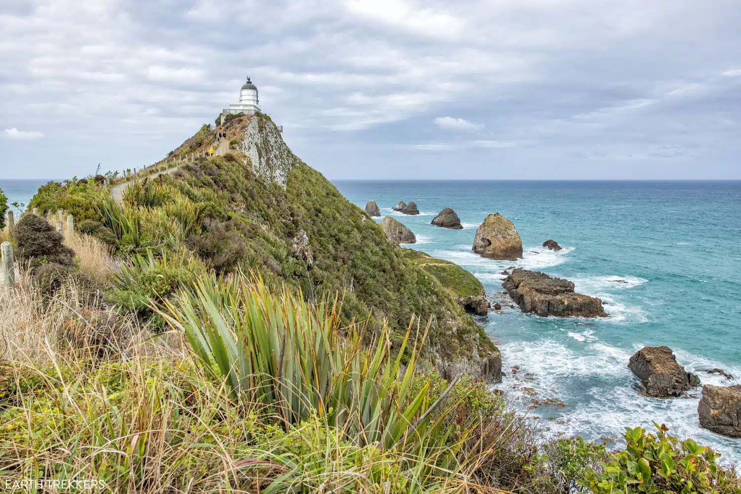
Nugget Point Lighthouse
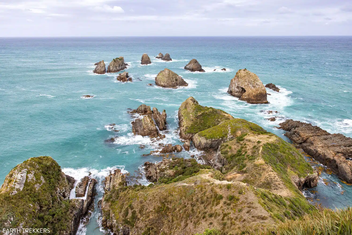
The view from Nugget Point Lighthouse
PLANNING YOUR TIME: It takes 30 to 45 minutes to walk out and back to the Nugget Point Lighthouse.
Surat Bay
This is optional. To get here, you will drive on a gravel road and it is a bit out of the way, as it is another detour on the Southern Scenic Route. Plus, I don’t think Surat Bay is as interesting as the other places we have listed in this guide, but I’m including it just so you know more about it.
Surat Bay is a good place to see sea lions, but again, we weren’t so lucky.
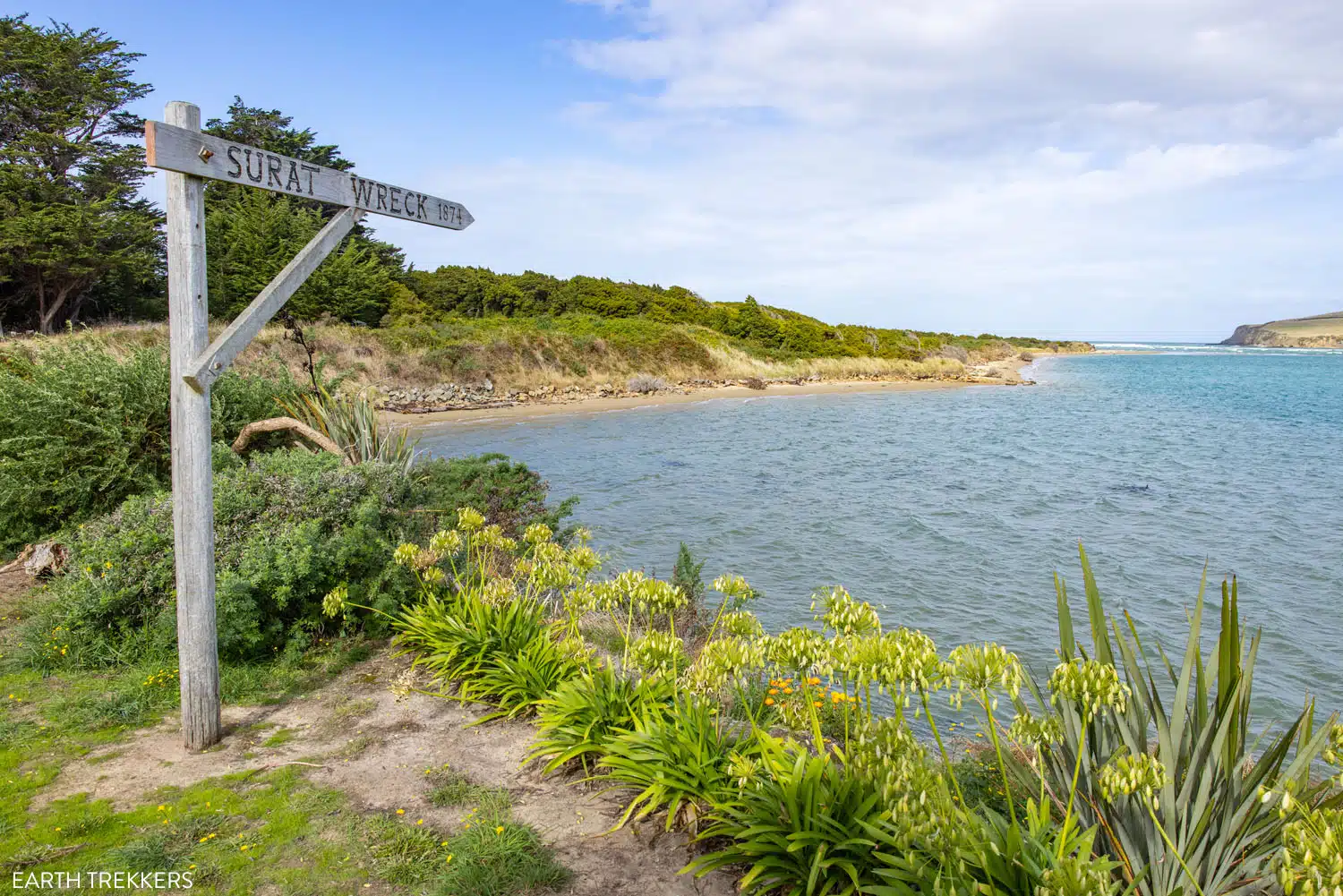
Surat Bay
Purakaunui Falls
Purakaunui Falls is a beautiful, multi-tiered waterfall. To get here, you’ll have to do a little bit of hiking. It takes 10 minutes to walk to the waterfall and this entire hike is through a dense forest. The total distance for this walk is 0.6 km.0.4 miles round trip with 30 meters/100 feet of total ascent.
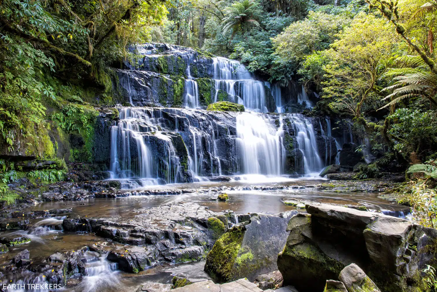
Purakaunui Falls
PLANNING YOUR TIME: A visit to Purakaunui Falls takes 30 minutes, with time for walking and taking photos.
Florence Hill Lookout
For a sweeping view of Tautuku Beach, it’s worth the quick stop at Florence Hill Lookout. Here’s the view:
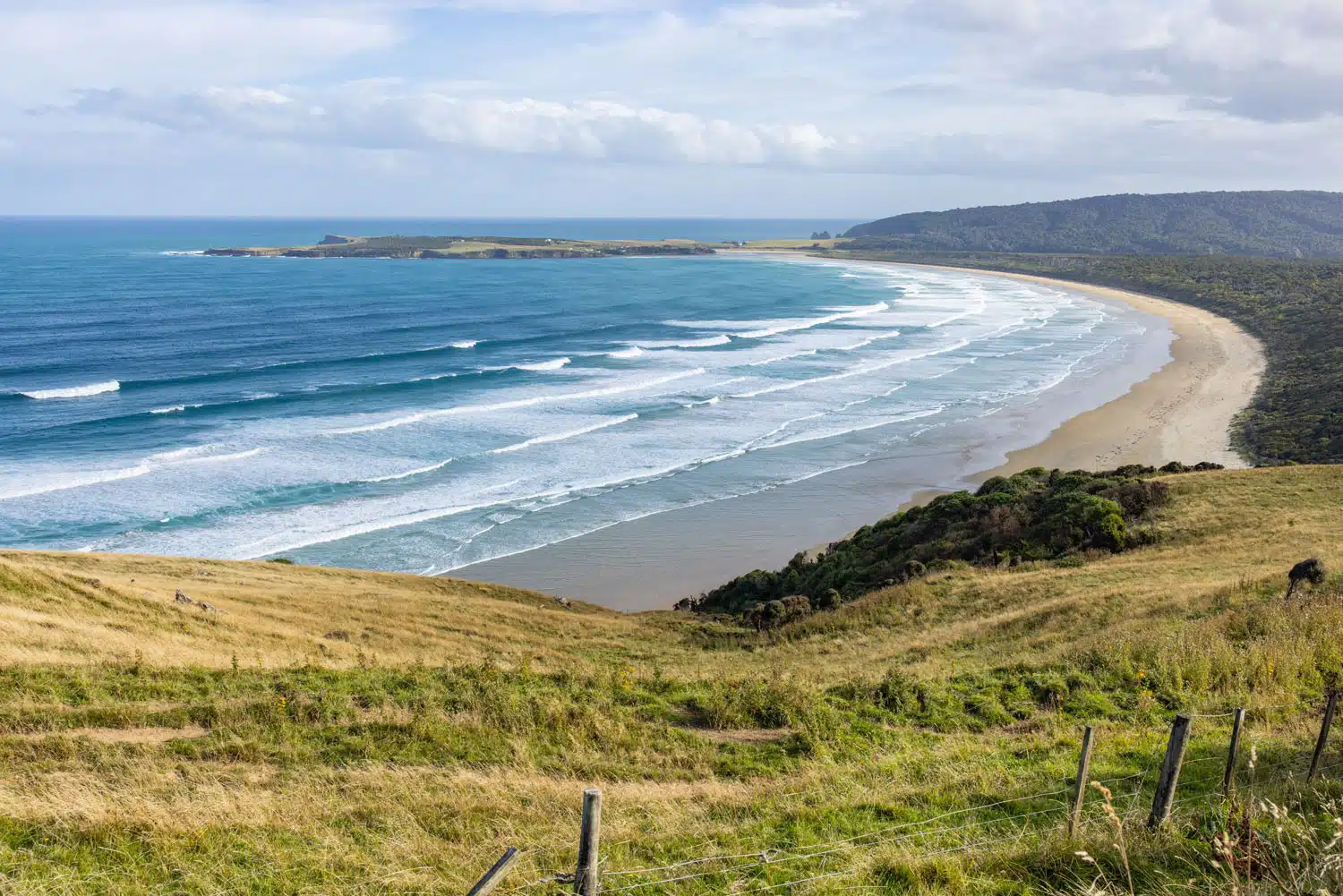
Florence Hill Lookout
Cathedral Caves
Cathedral Caves is one of the best things to do on the Southern Scenic Route. But getting this to work with your itinerary can be tricky.
Cathedral Caves is only open a few hours of the day, around low tide, when it is the safest to enter the caves. These caves sit on the beach and they are a dangerous place to visit for most of the day.
The timing of low tide changes day to day, so you will have to check the official website for the opening times, and then plan out your schedule for the day. When we did this, Cathedral Caves opened at 4:15 pm and we got here right when it opened.
From the parking area, it is a 20-minute downhill walk through a forest followed by a 10-minute walk on the beach to get to the caves. Overall, the walk out and back to Cathedral Caves is 2.6 km/1.6 miles with 110 meters/360 feet of total ascent. The walk through the forest is amazing and Tim and I thought that the forest was just as interesting as the cave. The forests in New Zealand are unlike anything we have on the east coast of the USA.
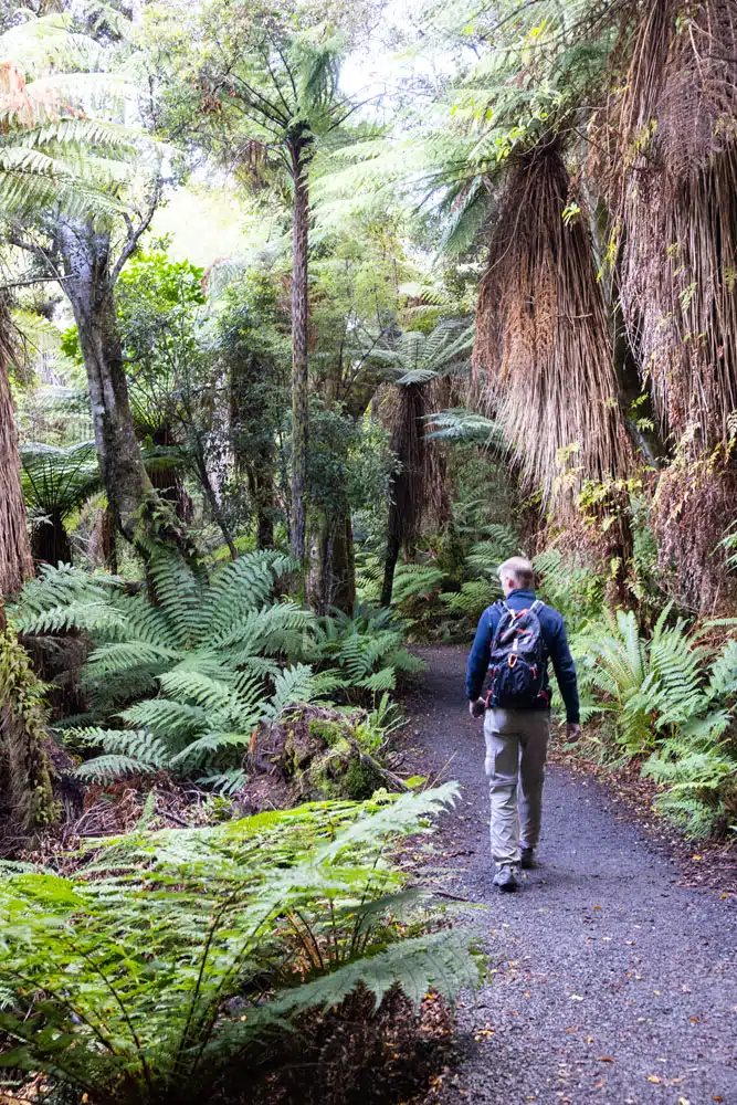
The walk to Cathedral Caves
There are two caves on the beach. They sit side-by-side, just 40 meters apart, but since it was not low tide yet, only the closer of the two caves was accessible during our visit.
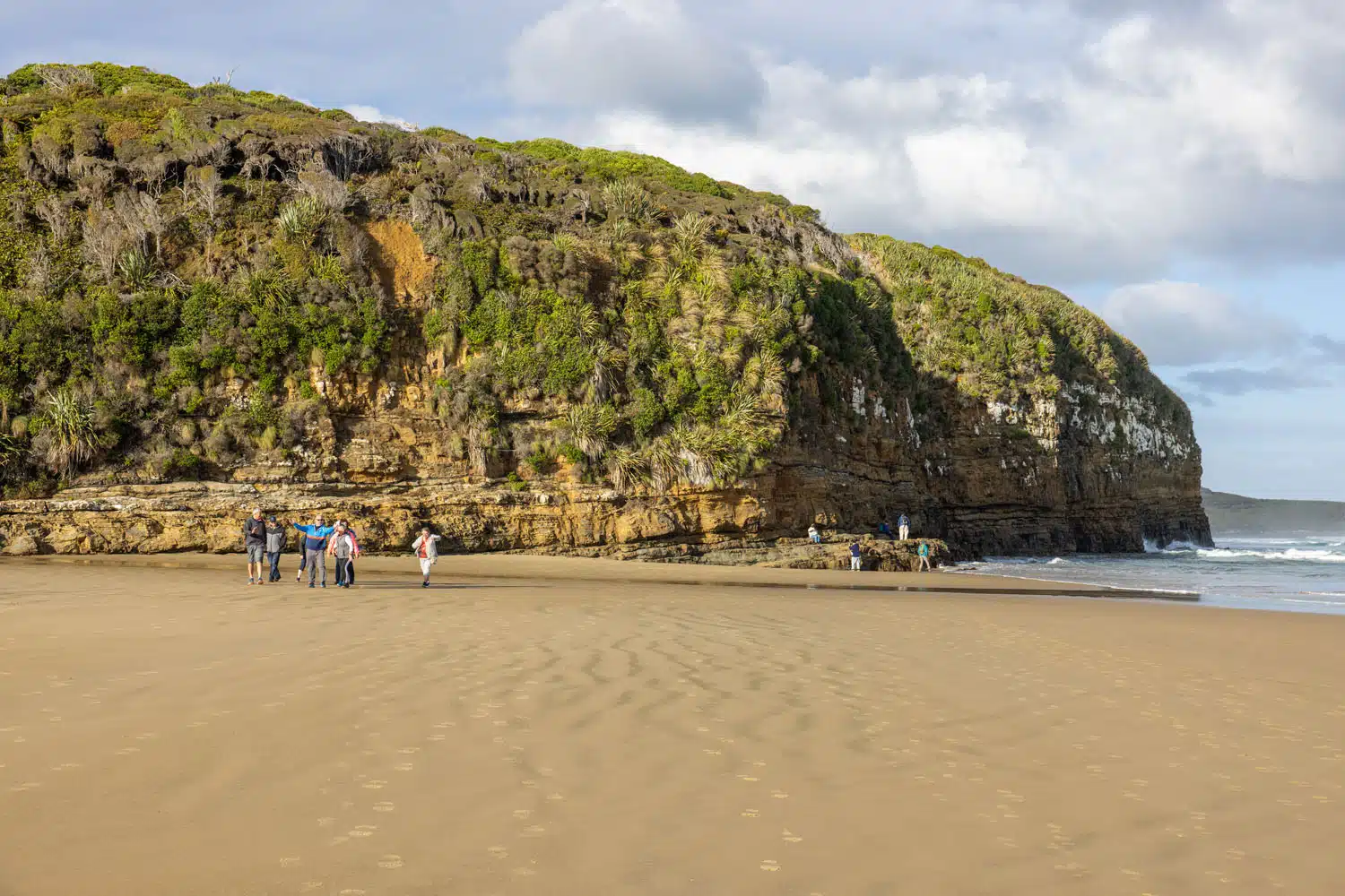
Approaching Cathedral Caves
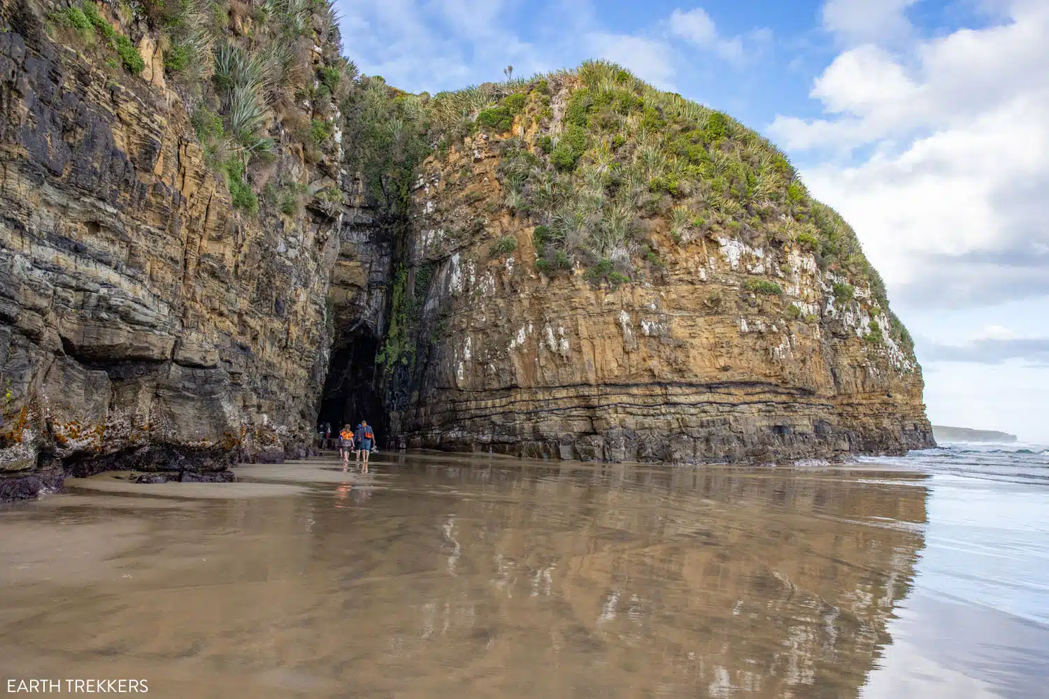
The entrance into one of the caves
Before rushing right into the cave, watch the waves for a few minutes. We were warned not to get hit by a wave because they are surprisingly powerful and can knock you off of your feet or slam you into the rocks.
The floor of the cave slopes upward, so once inside of the cave, the farther to the back you go, the easier it is to keep your feet dry.
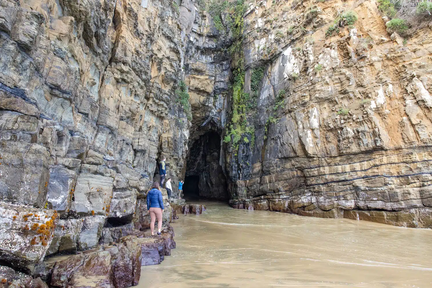
Entering the cave. You can walk on the rocks to the left to help keep your feet dry but be careful because the rocks are very slippery.
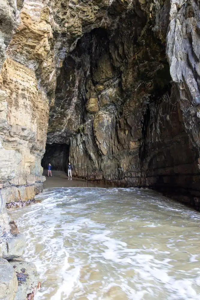
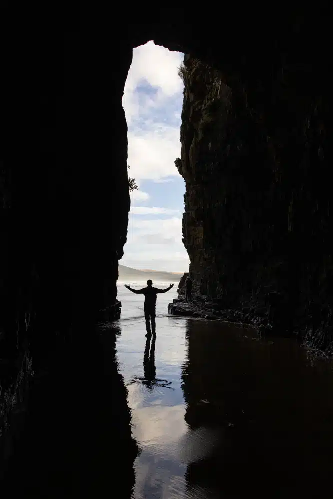
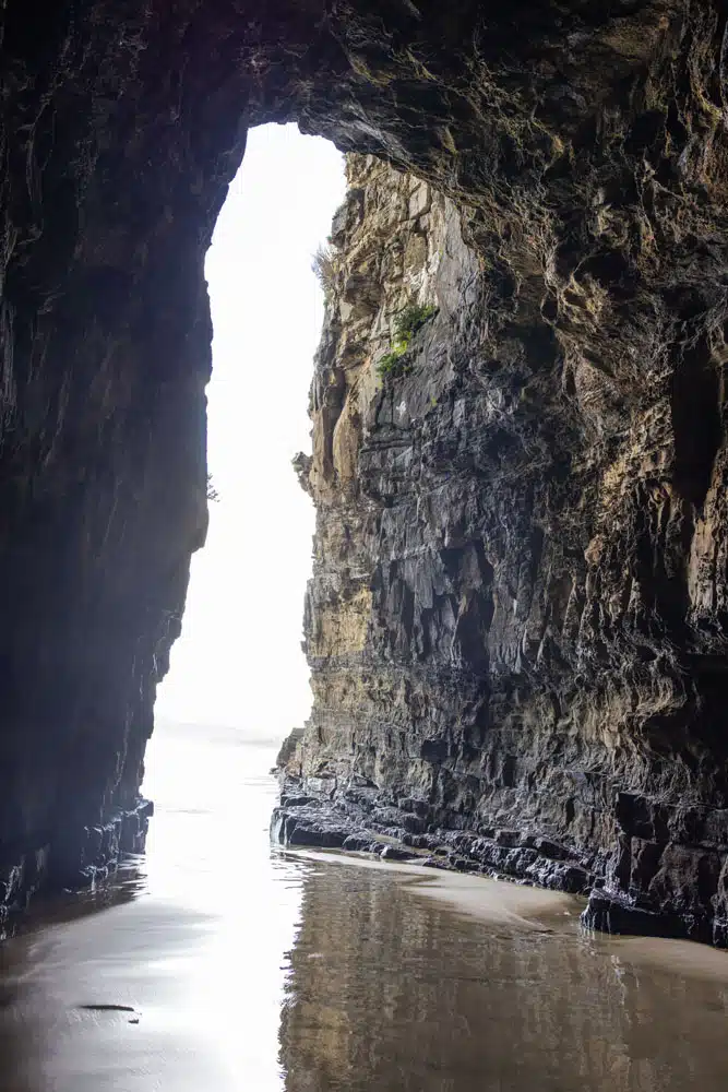
PLANNING YOUR VISIT: Get tide times, opening times, and pricing on the official website. A visit here lasts 1 to 2 hours, depending on how long you stay in the caves.
McLean Falls
This waterfall is located very close to Cathedral Caves. This was something we planned to do but with the day getting late, we had to skip this waterfall. To get here, it is a 2.1 km walk that takes about 40 minutes out-and-back. Learn more here.
Waikawa
Waikawa is another tiny town on the Southern Scenic Route. The small church is very photogenic as are the roads that head away from town.
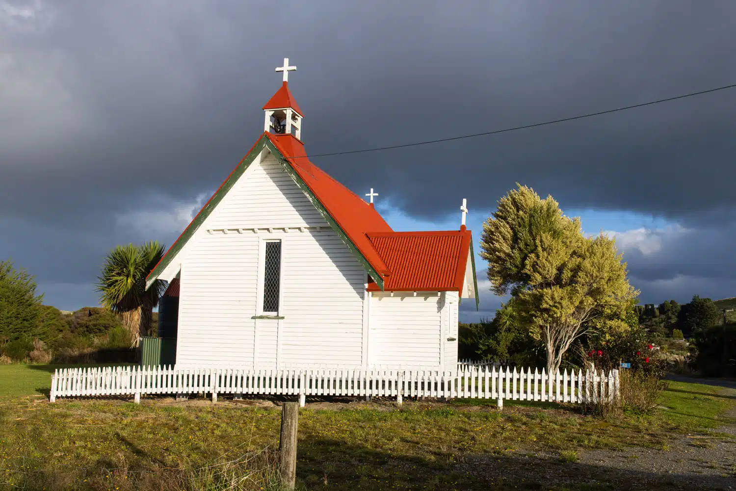
Church in Waikawa
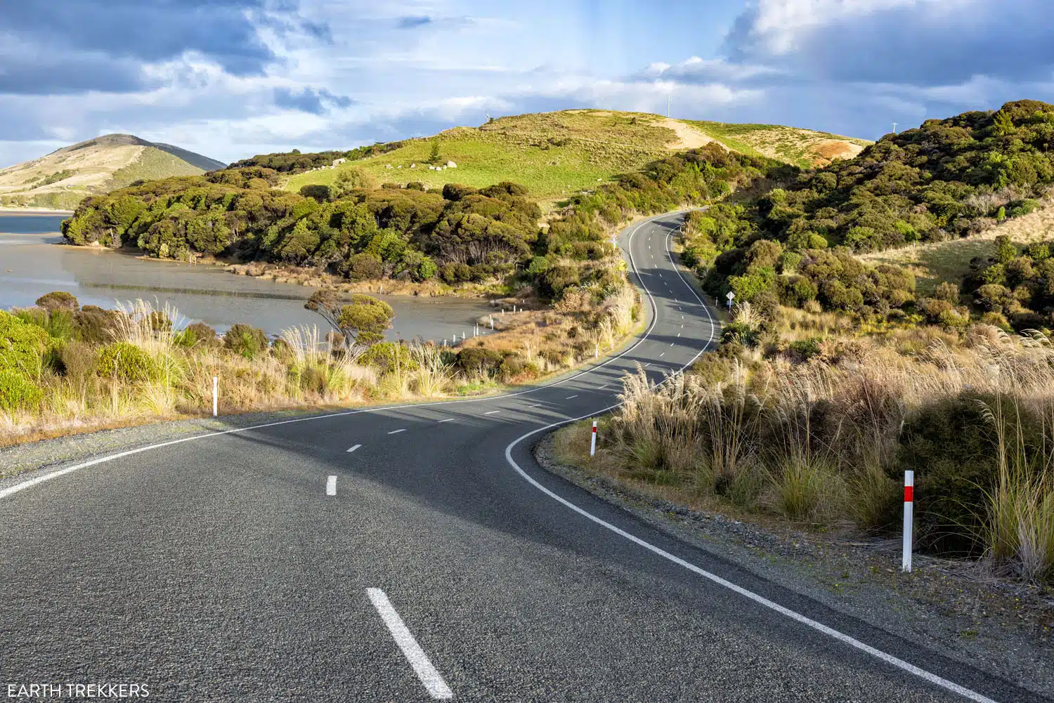
Views on the drive just outside of Waikawa
Curio Bay
At Curio Bay, there are a few things to see and do.
From The Headland, you get panoramic views along the coastline.
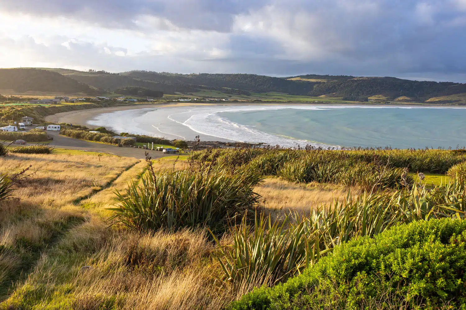
Curio Bay
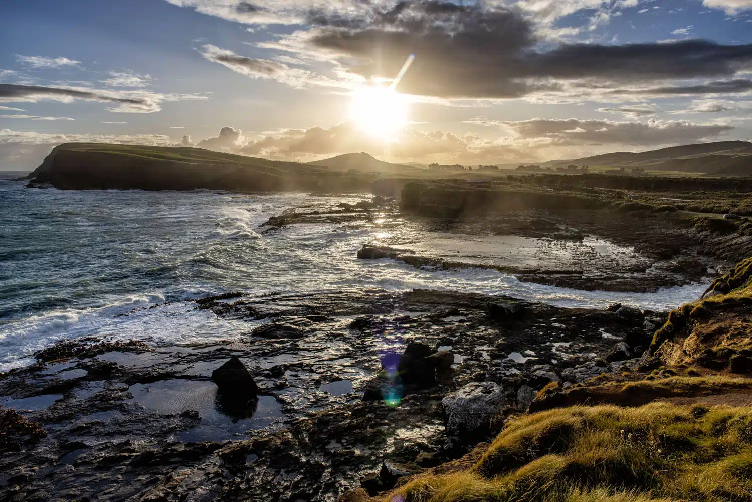
Sunset view from The Headland
From the Petrified Forest overlook, you can look out over the beach and the petrified remains of a forest from the Jurassic period. It’s also possible to see yellow eyed penguins on this beach.
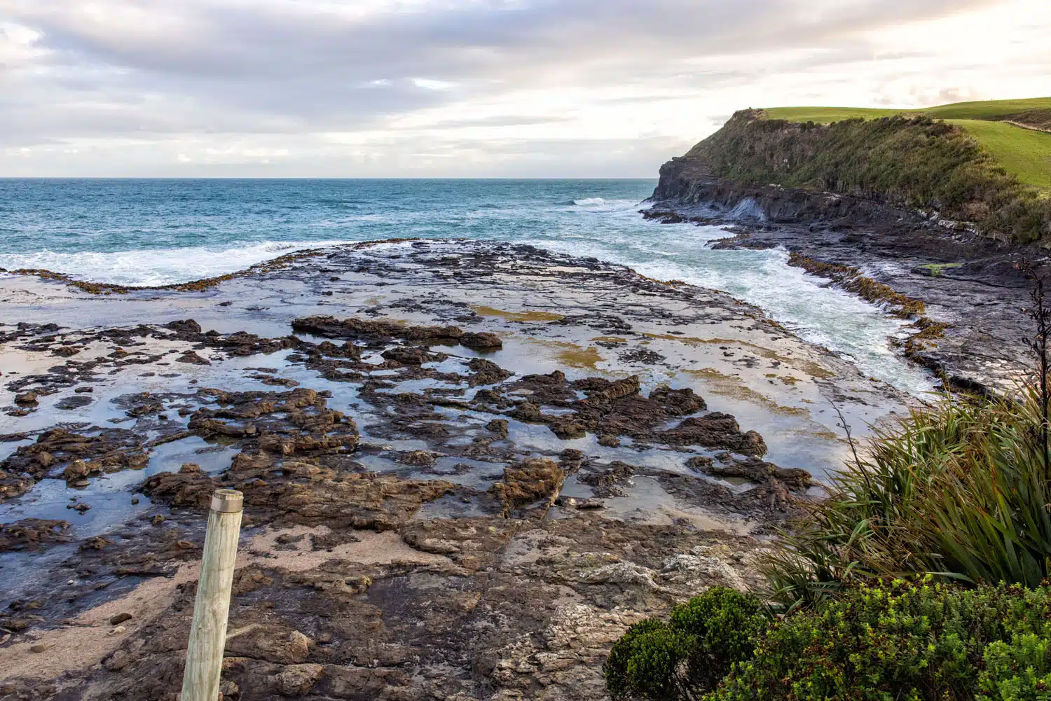
Petrified Forest Overlook
PRO TRAVEL TIP: If you see penguins or seals on the beach, do not enter the beach. Many beaches on the south coast of the South Island are protected beaches, as safe habitats for the little blue penguins and yellow eyed penguins. Many beaches also have signs stating that they are closed from 3 pm and later, remaining open only for the penguins who use these beaches to come ashore and nest.
Across the street from the Petrified Forest overlook is the Living Forest Walkway, a forest of matai and totara trees. The Catlins were once covered by a forest like this one, but settlers in the late 1800’s used the trees for timber. These forests are nesting grounds for penguins, and efforts are being made to reestablish these forests along the southern part of the South Island.
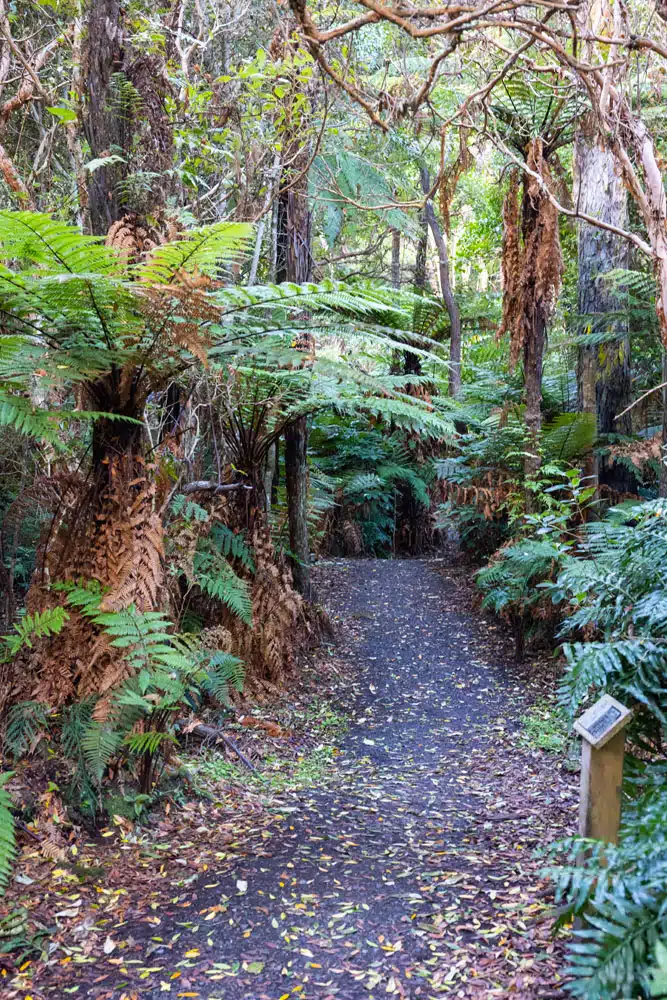
Living Forest Walkway
Slope Point
Slope Point is the southernmost point of the South Island of New Zealand.
To get to Slope Point from the car park, it is a 1.8 km (1.1 mile) out-and-back walk with 100 meters (325 feet) of total ascent. Plan on spending about 30 to 45 minutes here, which gives you enough time to do the walk and take photos.
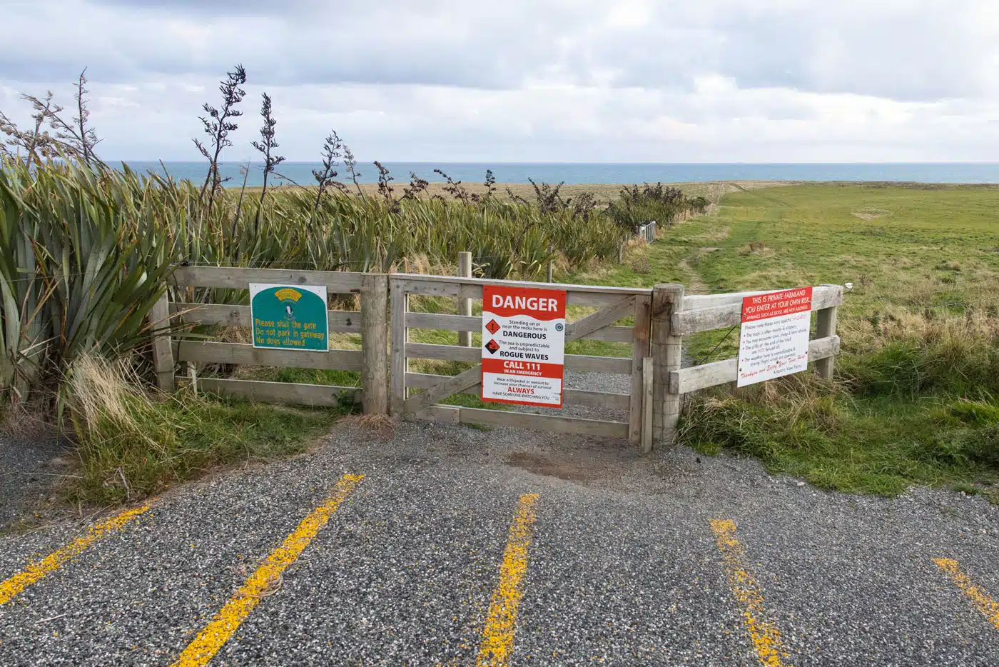
Slope Point Trailhead
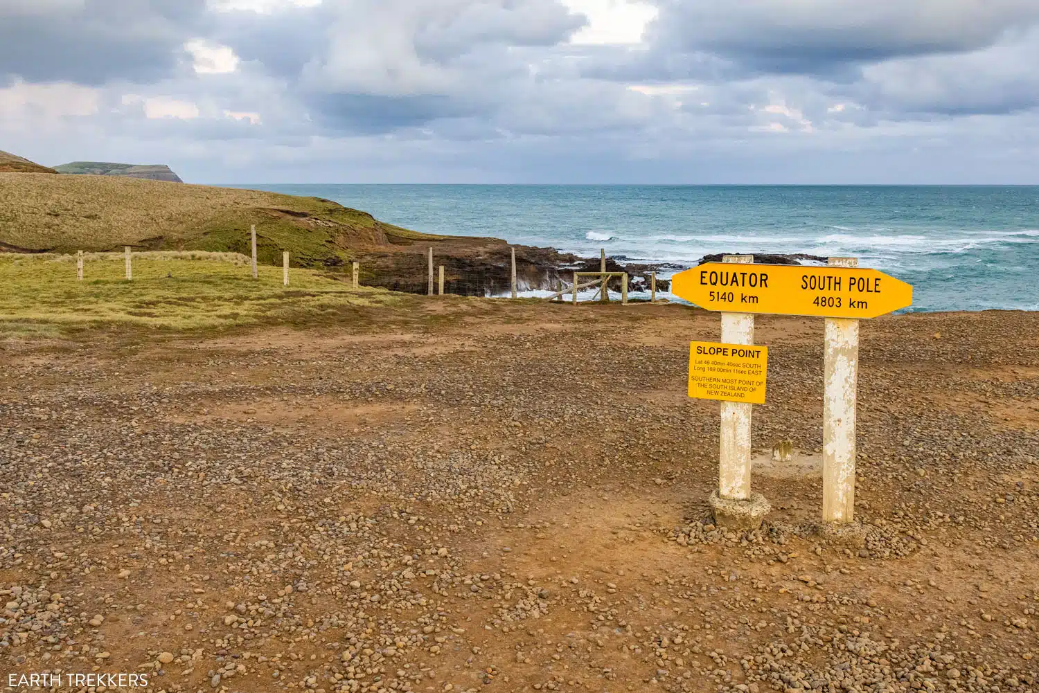
Southernmost point of the South Island of New Zealand
Invercargill
Invercargill is a city that sits on the south coast of the South Island. We spent the night here before traveling on to Te Anau.
We stayed at the The Lodges at Transport World. This place is wonderful! There are several one and two bedroom apartments to choose from. The units are clean, quiet, and very comfortable.
While in Invercargill, here are a few things to see and do:
- Bill Richardson Transport World
- Invercargill Water Tower
- Queen’s Garden
- Bluff Point

Bill Richardson Transport World
Bluff Point Overlook sits to the south of Invercargill. From Bluff Hill Lookout you get 360° views of the south coast of the South Island and can see Stewart Island.
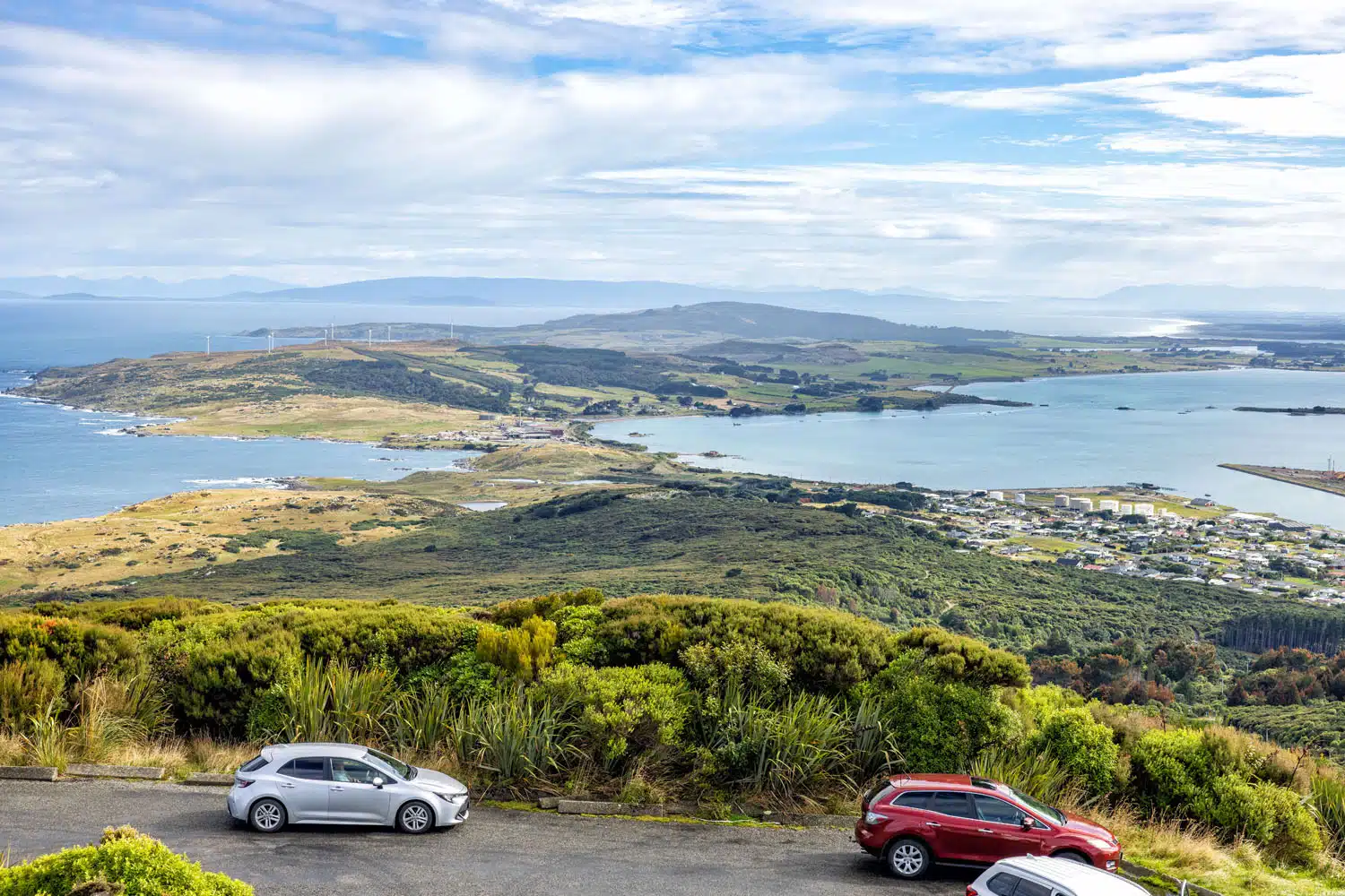
Bluff Point Overlook
From Stirling Point, you can simply enjoy the view or walk the coastal track for more great views of the coastline.
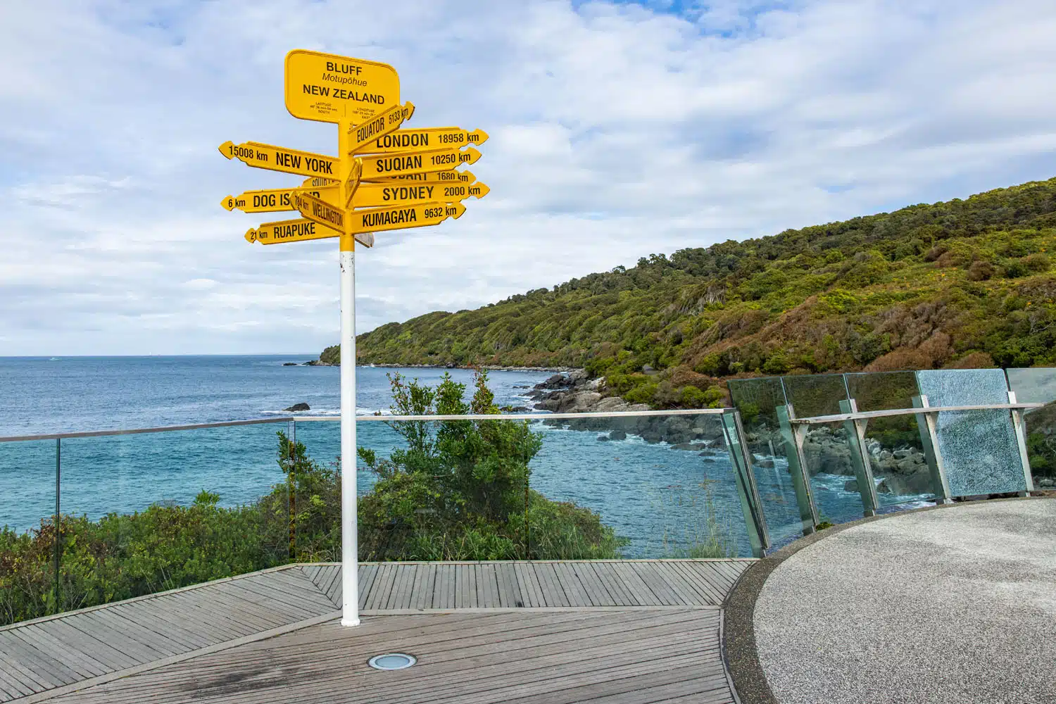
Stirling Point
Cosy Nook
Cosy Nook is a tiny cove that contains a few small fishing boats and cabins. It is a quiet, scenic, secluded spot that gets just a handful of visitors each day.
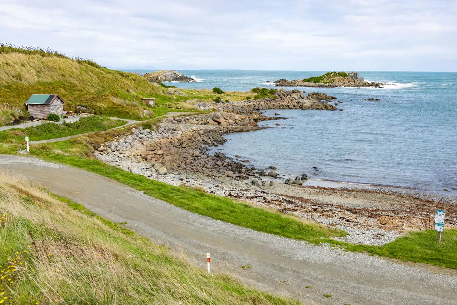
Cosy Nook
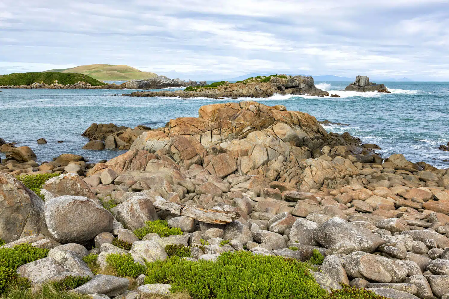
Cosy Nook
Gemstone Beach
This wide beach is good spot to look for semi-precious gems such as jasper, garnet, nephrite, and quartz. It’s also a good spot to go surfing.
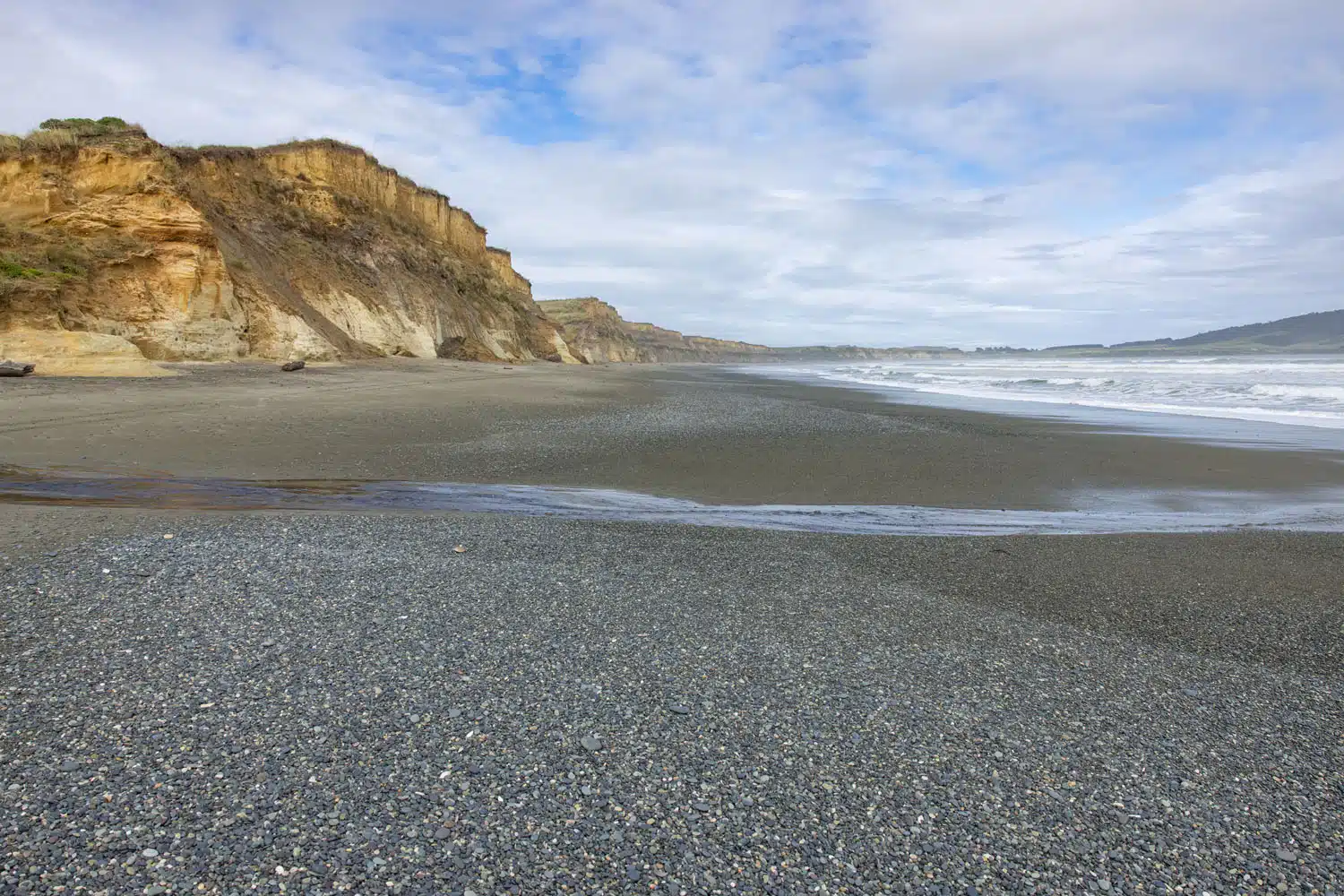
Gemstone Beach
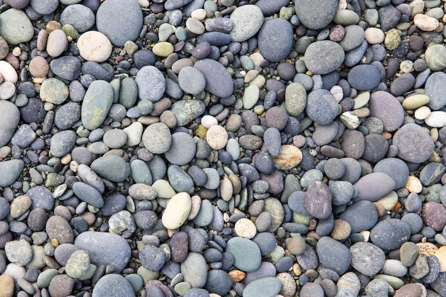
Pebbles on Gemstone Beach
McCracken’s Rest
McCracken’s Rest marks the spot where you will say goodbye to the coastline and begin heading inland towards Te Anau. From the viewing area at McCracken’s Rest, you overlook Te Waewae Bay.
From here, the scenery will dramatically change. Gone are the beaches and coastal overlooks. Now you start to have views of the mighty mountains of Fiordland National Park.
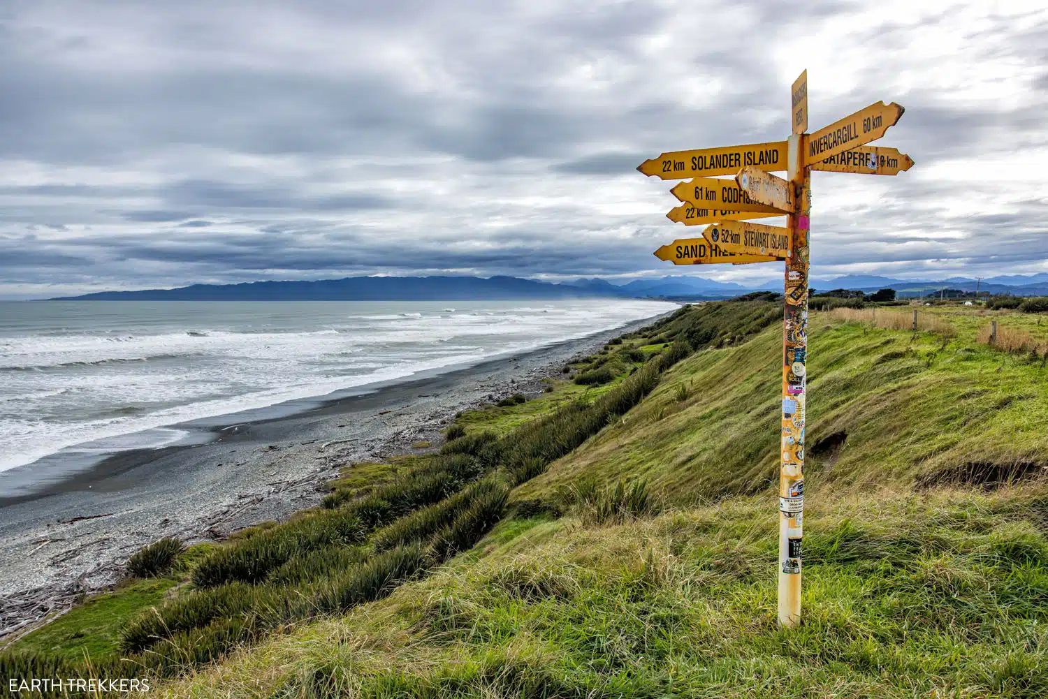
McCracken’s Rest
Te Anau
The small town of Te Anau is nestled in one of the most beautiful areas of New Zealand. Sitting just outside of Fiordland National Park, Te Anau is the gateway to the Milford Sound, Doubtful Sound, and some of the most beautiful walks in New Zealand.
In Te Anau, we stayed at Annies on Milford, one of the highest rated properties in town. Rooms range from studio suites to two bedroom apartments.
Here are the top experiences in Te Anau, plus popular day trips from this town:
- Te Anau Glowworm Caves
- Cruise on Lake Te Anau
- Visit the Milford Sound
- Cruise Doubtful Sound
- Key Summit Hike
- Watch the Ata Whenua – Shadowland film
- Hike the Milford Track, Kepler Track, or Routeburn Track
If you plan to do several things in the list above, plan on spending a few days in Te Anau. The Doubtful Sound cruise takes one full day. Milford Sound can be paired with the Key Summit Hike and the Shadowland film or the Glowworm Caves. If you want to hike one of the longer tracks (Milford, Kepler, or Routeburn), these typically take multiple days.
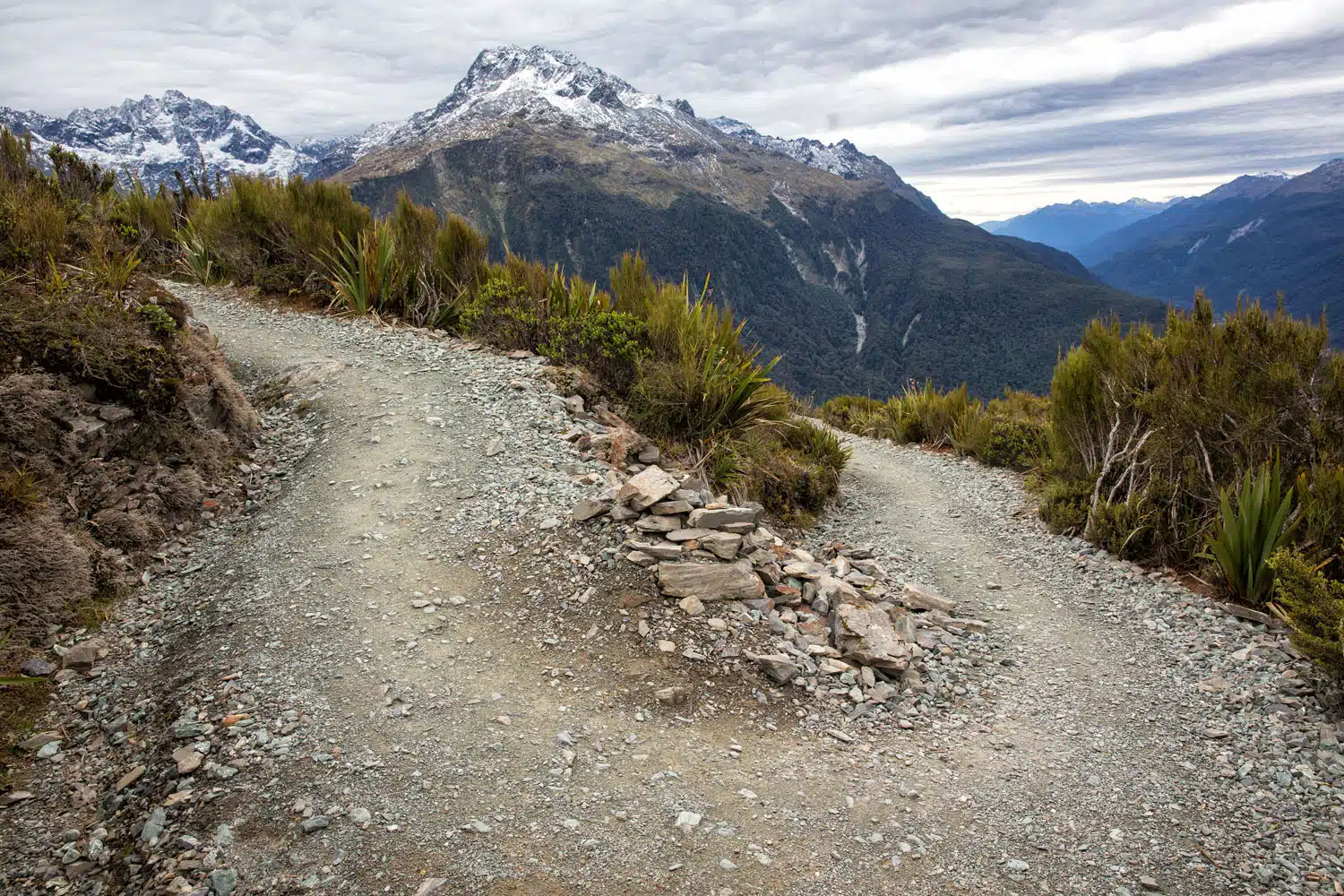
Key Summit Hike
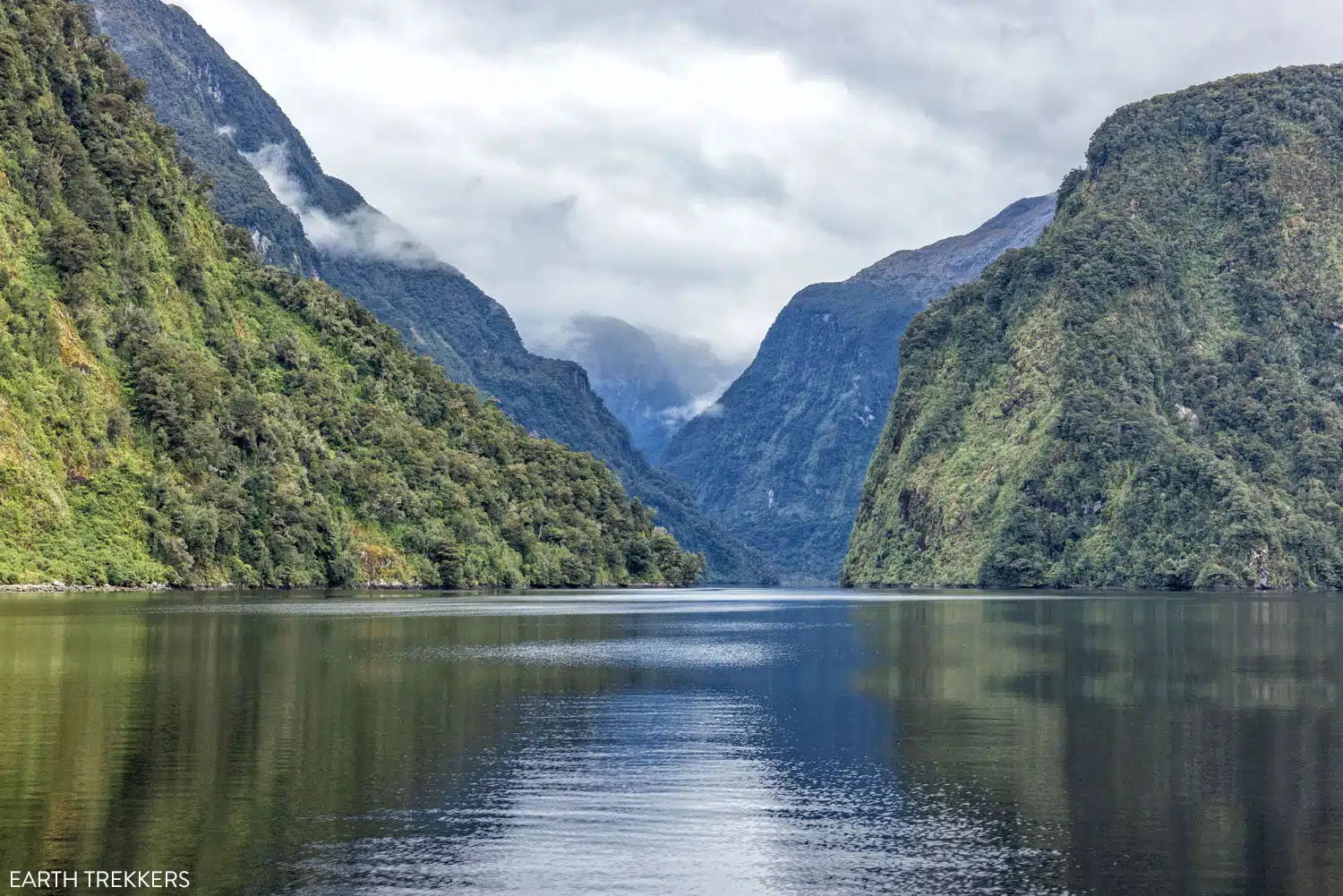
Doubtful Sound
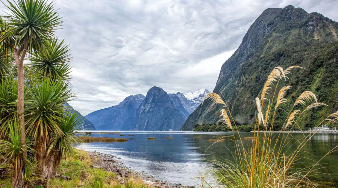
The Milford Sound
The Milford Sound is such a popular thing to do, not only along the Southern Scenic Route, but in all of New Zealand, that it deserves its own mention here.
The Milford Sound is frequently labeled as one of the most beautiful places in the world, making it one of the best places to visit in New Zealand. Many visitors to New Zealand day trip to the Milford Sound from Queenstown or Te Anau.
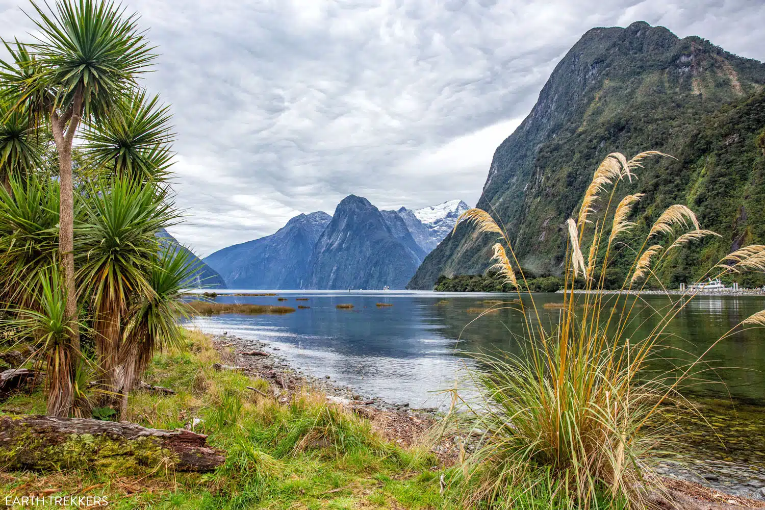
Milford Sound
Te Anau is the most convenient place to stay in order to visit the Milford Sound. From Te Anau, it takes about 2 hours to drive to the Milford Sound. Much of this drive is on winding, narrow roads, so driving speeds are low. You’ll also pass through the Homer Tunnel, a 1.2 km (0.75 mile) tunnel with one lane of traffic.
It’s possible to day trip to the Milford Sound from Queenstown, but this is a very long day, with over 8 hours spent on a van.
Once at the Milford Sound, the most popular way to see it is on a cruise, which typically lasts 1 hour and 45 minutes to 3 hours. On this cruise, you get up close with waterfalls, can visit the underwater observatory, and cruise out to the Tasman Sea.
If you are staying in Te Anau, it’s possible to add on the hike to Key Summit, which is a hiking trail that shares the same starting point as the world famous Routeburn Track and is located on the drive between the Milford Sound and Te Anau. Learn more in our guide to the Milford Sound and Key Summit.
Te Anau to Queenstown
The drive from Te Anau to Queenstown is a gorgeous drive. This drive takes about two and a half hours, covering a distance of 170 km (105 miles).
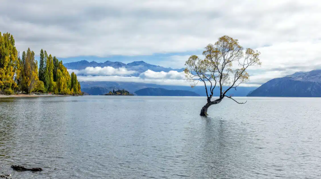
Having done it several times, my favorite part is the drive along Lake Wakatipu. State Highway 6 winds along the shore of the lake, with stunning views of the lake, the mountains, and Queenstown.
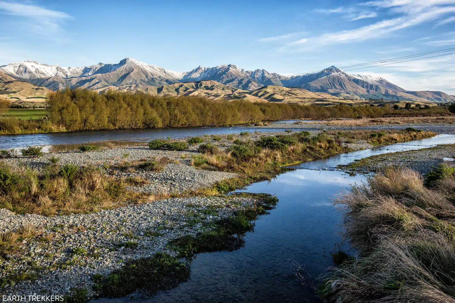
Scenery on the drive between Te Anau and Queenstown
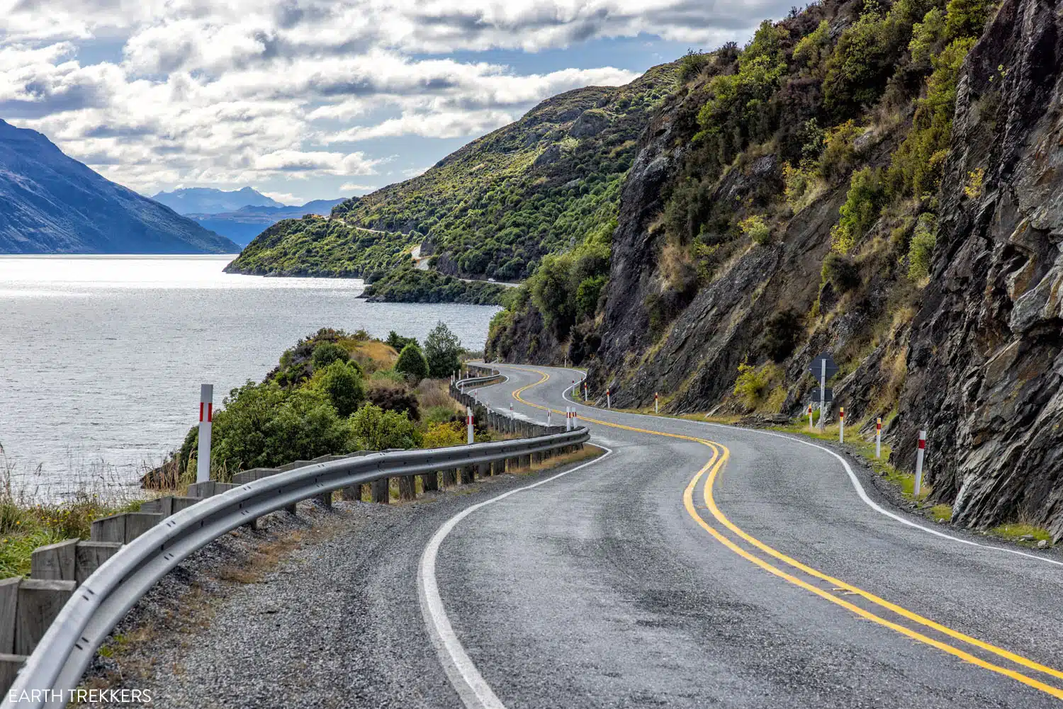
Driving along Lake Wakatipu
Queenstown
Queenstown marks the end of the Southern Scenic Route. This is New Zealand’s adventure capital, with bungy jumping, jet boat rides, paragliding, ziplining, hiking, mountain biking, and skiing topping the to do list here.
Queenstown is our favorite city in all of New Zealand. This place is pure fun but it’s also filled with a long list of great hotels for all budgets and some wonderful restaurants. Queenstown also makes a great home base for exploring some nearby spots, such as Glenorchy, Arrowtown, Cromwell, and Wanaka.
When designing your itinerary, plan to spend at least 2 to 3 days in Queenstown, to give yourself enough time for a few adrenaline filled activities, plus some chill time over a nice dinner, in a hot spring, or on another scenic drive.
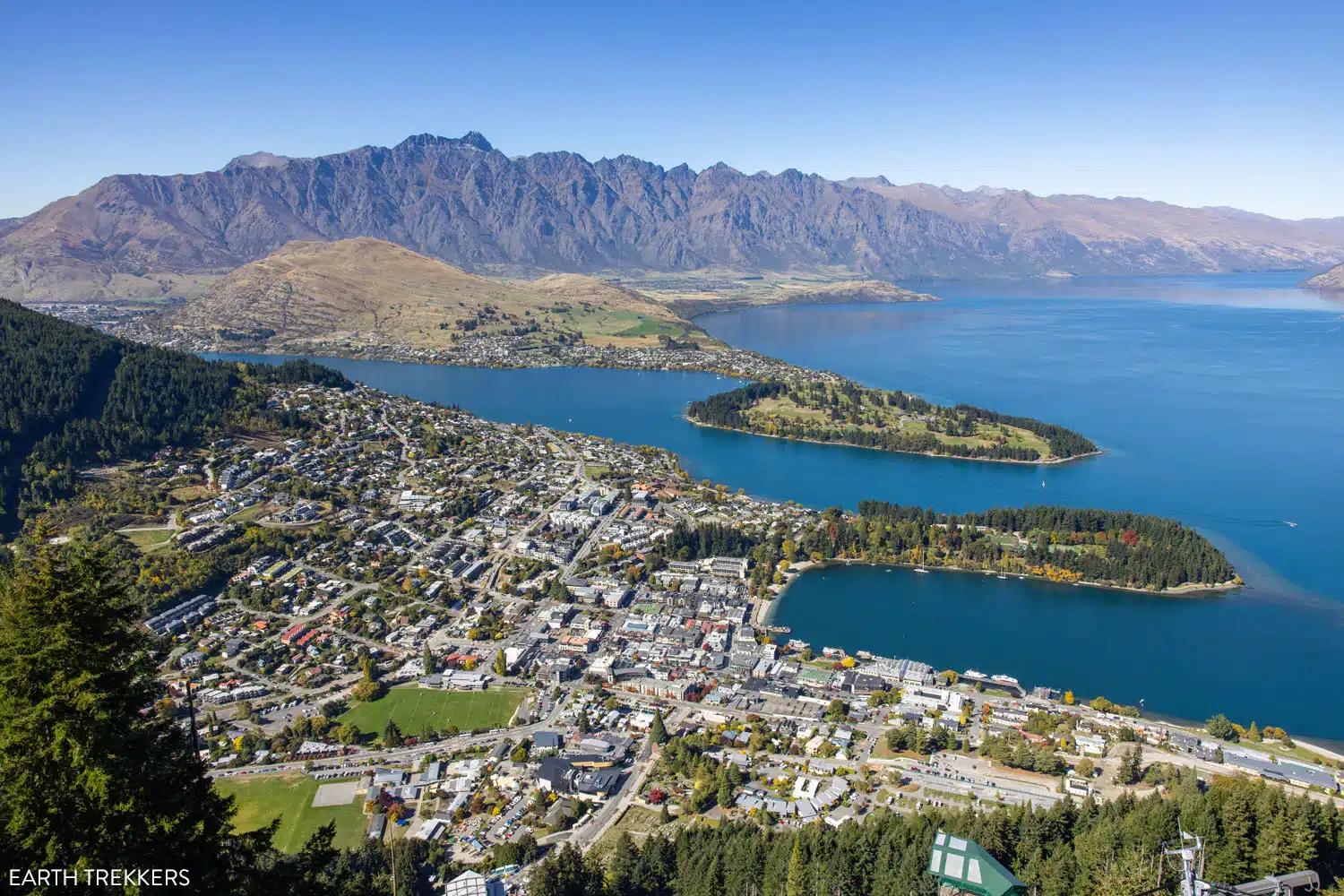
Queenstown
Southern Scenic Route Itinerary
To drive the full Southern Scenic Route, which includes the detour to the Milford Sound, you will need a minimum of four days.
Day 1: Dunedin to Invercargill
Day 2: Invercargill to Te Anau
Day 3: Milford Sound day trip from Te Anau (plus Key Summit hike)
Day 4: Te Anau to Queenstown
With a full week, you can spend more time in Te Anau or Dunedin.
Day 1: Dunedin + Otago Peninsula
Day 2: Dunedin to Invercargill
Day 3: Invercargill to Te Anau
Day 4: Milford Sound day trip from Te Anau
Day 5: Doubtful Sound day trip from Te Anau
Day 6: Te Anau lake cruise + Te Anau Glowworm Caves
Day 7: Te Anau to Queenstown
And once in Queenstown, make sure you spend a few days here for jet boat rides, bungy jumping, hiking, biking, and more!
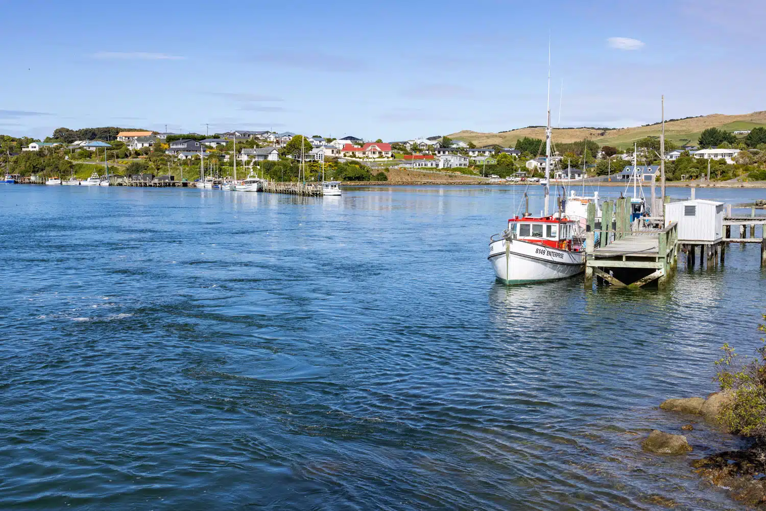
Riverton (Aparima), which is located between Invercargill and Cosy Nook
Frequently Asked Questions
Is there cellular service along the drive?
Around towns and small cities, there is decent cellular service. Once you get to more remote locations (Nugget Point, Cathedral Caves, and some beaches and waterfalls) we did not have any cellular service.
What are the top experiences on the Southern Scenic Route?
Things not to miss along the Southern Scenic Route are the Nugget Point lighthouse, Cathedral Caves, the Milford Sound, Purakaunui Falls, Te Anau, and Queenstown.
How long does it take to drive the Southern Scenic Route?
The Southern Scenic Route is a 610 km (380 miles) driving route that connects Dunedin to Invercargill, Te Anau, and Queenstown. At a minimum, it takes 4 days to drive this route, but more time is better, to include places like Doubtful Sound and Milford Sound along the drive.
Is the Southern Scenic Route worth it?
Absolutely! The Southern Scenic Route is one of the most beautiful drives in New Zealand. Along this drive, you can see little blue penguins and yellow eyed penguins, cruise the Milford Sound, visit remote beaches and sea caves, dine on fresh fish and seafood, visit Fiordland National Park, and see some of the most dramatic coastal scenery in New Zealand.
If you have any questions about driving the Southern Scenic Route, let us know in the comment section below.
More New Zealand Travel Guides
We have TONS more information about New Zealand in our New Zealand Travel Guide, including Auckland, Queenstown, Wanaka, Aoraki/Mount Cook, Franz Josef, Christchurch, Wellington, Taupō, and the Milford Sound.



Comments 5