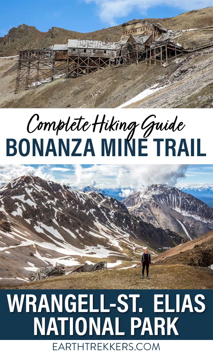
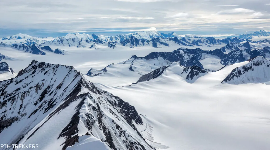
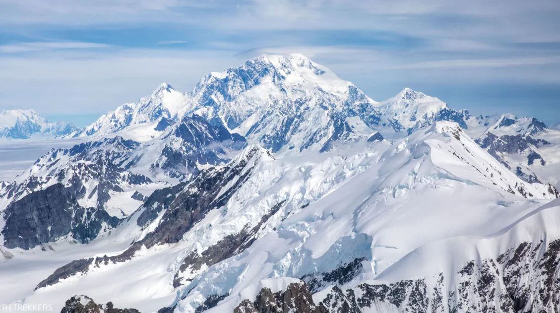
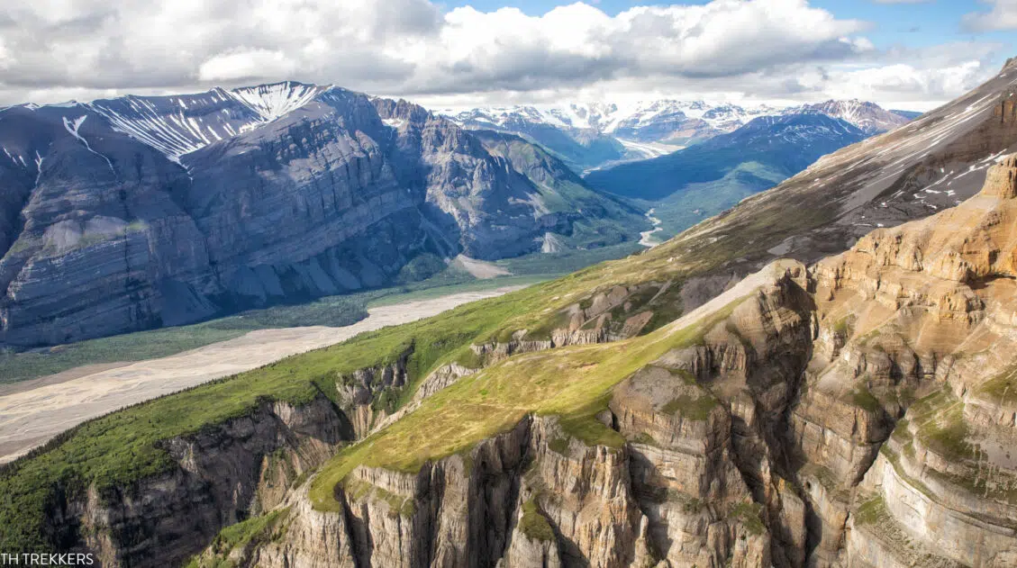
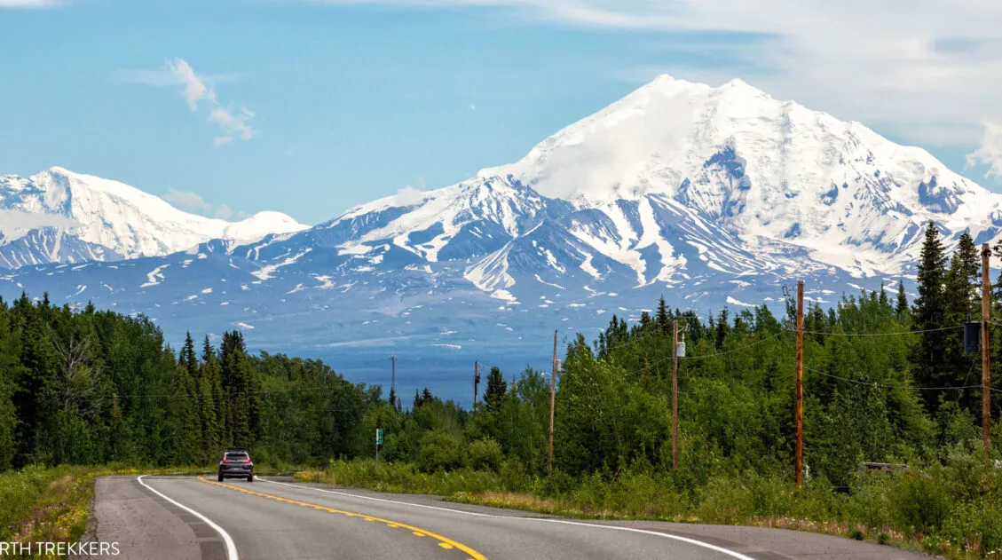
The Bonanza Mine Trail is a tough hike that features panoramic views over the Kennicott and Root Glaciers. It’s not the most thrilling hike at first but once above the tree line the views really open up. The pay-off comes at the end…the chance to see the abandoned Bonanza Mine and sweeping views across Wrangell – St. Elias National Park & Preserve.
The views from Bonanza Mine and the hills behind it are truly spectacular. It is a challenging hike but absolutely worth it for those who like hiking high into the mountains for epic views.
Bonanza Mine Hiking Stats
Distance: 8.25 (13.25 km) miles round trip
Difficulty: Strenuous
Total Ascent: 3,900 feet (1,190 m)
Starting Elevation: 2,030 feet (619 m)
Highest Elevation (Bonanza Mine): 5,865 feet (1,788 m)
Length of Time: 4 to 6 hours
Once at Bonanza Mine, you can hike up the hill behind the mine for even better views. When we did this, it added 0.25 miles (0.4 km) and 140 feet (43 m) of total ascent.
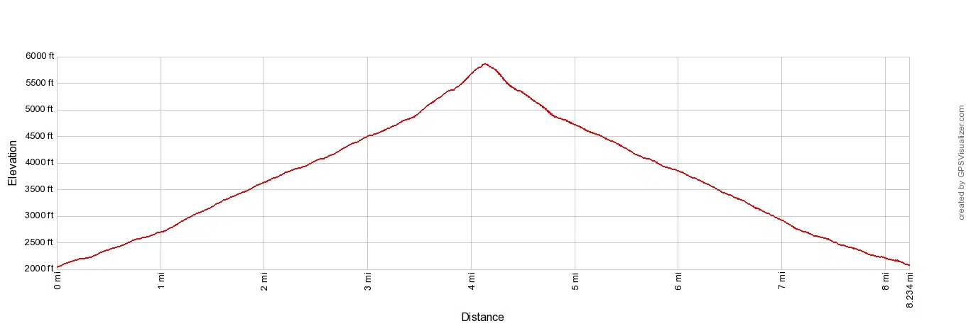
Elevation profile
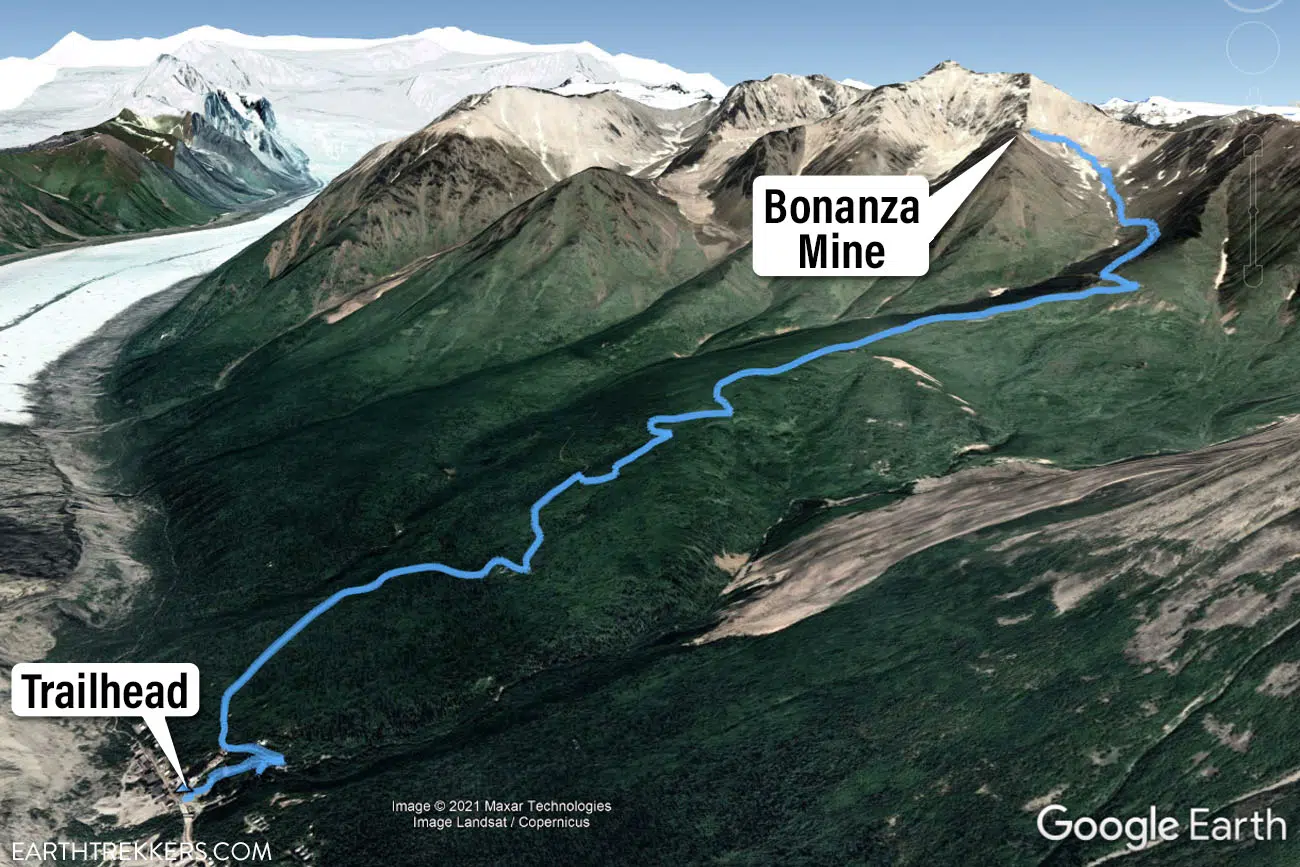
Map of the hiking trail
Please practice the seven principles of Leave No Trace: plan ahead, stay on the trail, pack out what you bring to the hiking trail, leave areas as you found them, minimize campfire impacts, be considerate of other hikers, and do not approach or feed wildlife.
How to Hike the Bonanza Mine Trail
Step-By-Step Trail Guide
Getting to the Trailhead
There are two places to start this hike.
Next to the Kennecott Mill
For the shortest route, take the trail the starts next to the Kennecott Mines National Historic Landmark.
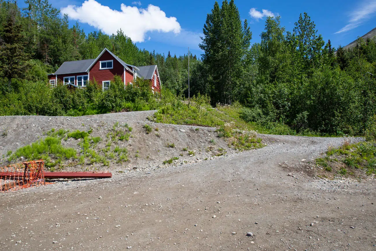
The start of the trail next to the Kennecott Mill.
To get here, cross the large wooden bridge. Just before you get to the mill, look for a trail that leads up into the mountains. There was no sign here marking the trailhead when we did this. Just keep an eye out for a dirt and gravel trail that switchbacks up into the forest. If you already did the Kennecott mill tour, this is the same short trail that you hike at the start of the tour.
Here are the GPS coordinates of the trailhead: 61°29’04.8″N 142°53’17.0″W
Root Glacier Trail
The second trailhead is located 0.5 miles past the Kennecott Mill.
To get here, cross the bridge, walk past the mill, and keep walking for about another 0.5 miles on the Root Glacier Trail. There will be a sign here marking the trailhead for Bonanza Mine. Go right to hike the Bonanza Mine Trail. Go left to hike to the Root Glacier.
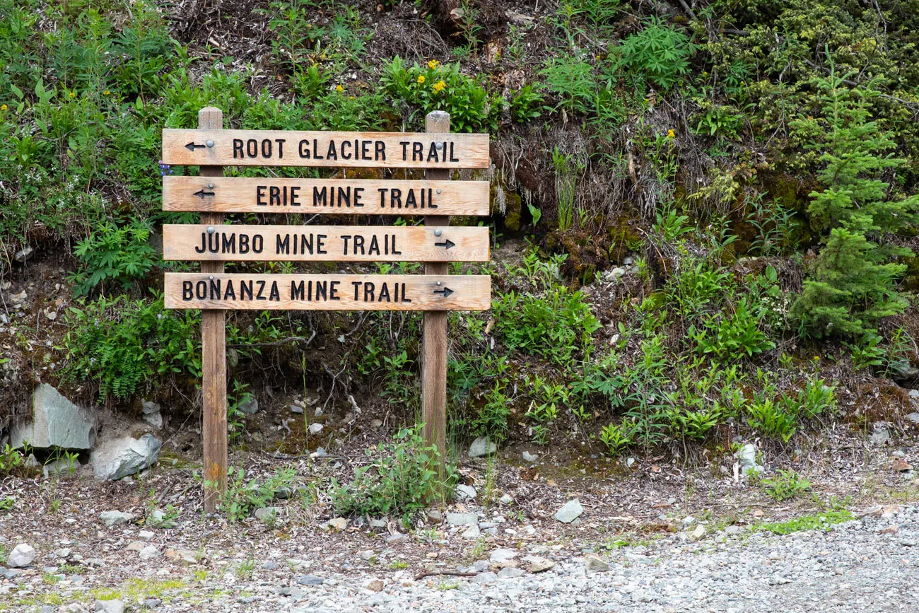
If you hike the Bonanza Mine Trail round trip from here, add on another 1 mile to the hiking stats listed above.
We started at the trailhead next to the Kennecott Mill.
On the Trail to Bonanza Mine
From the Kennecott Mill, the trail makes a few switchbacks in the forest before emerging at the top of the mill. About 50 meters past the mill there is a split. Go right to continue on the Bonanza Mine Trail. This is the junction where the trails from the two trailheads come together.
The first 2 miles of the hike are the least interesting. It’s a constant uphill walk on a dirt road through a forest. There’s not a whole lot to look at, other than trees and the road, and the mosquitoes are terrible here. One of the most important things to bring on the hike is insect repellent because the mosquitoes will feast on you during this part of the hike.
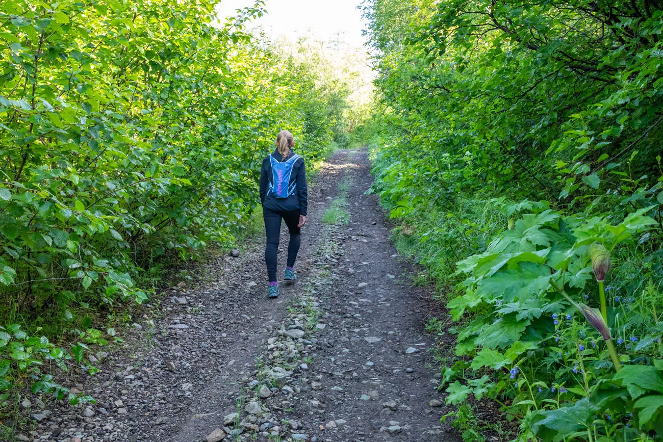
The first 2 miles are also the easiest of the Bonanza Mine Trail. It’s all uphill, and it can be tiring, but the incline is still rather gentle at this point. The top half of the trail is much steeper.
Note: It is possible to drive the first 2.5 miles of the trail if you have a 4WD or an ATV. The road is about 3 miles long and shaves off a nice portion of the hike, if you have a vehicle.
At the 2 mile mark, you get your first view of Mount Blackburn.
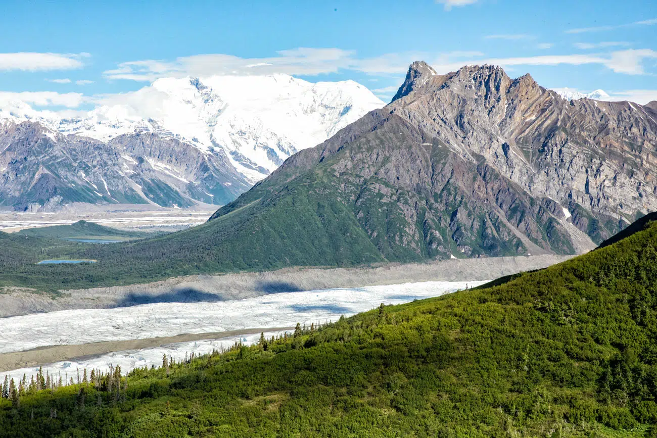
Mount Blackburn (the snow-capped mountain)
At 2.5 miles, the trees begin to thin out and you start to have better views of the Root Glacier and McCarthy. This is also the point where the trail gets steeper and more challenging.
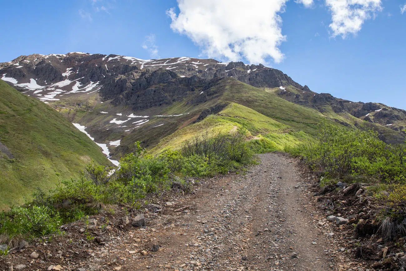
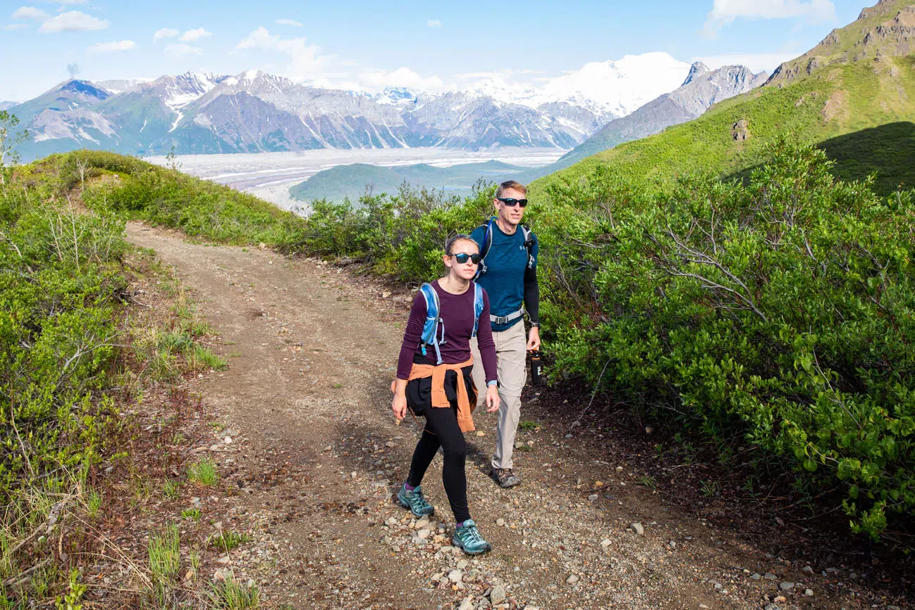
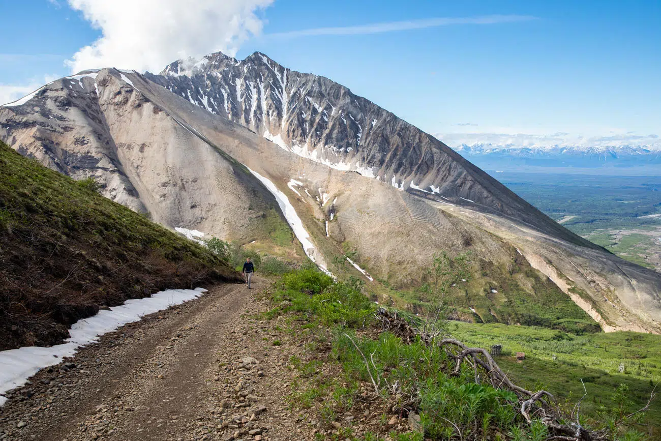
At 3.1 miles, you reach an old mining building. This is the end of the historic wagon road and the trail narrows at this point. Follow the trail up with your eyes and you can see Bonanza Mine off in the distance. The views over the area are nice from here but they are about to get a whole lot better.
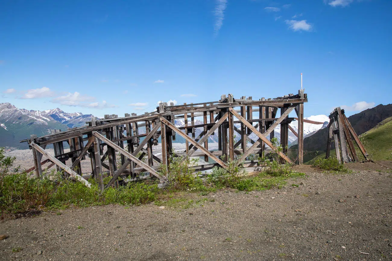
Old mining building
Steep Hike to the Bonanza Mine
We did this hike at the end of June. When we did this, there was still some snow on the trail which was about 200 meters long. We were able to pick our way on a secondary trail through the brush to get around the deepest sections of snow.
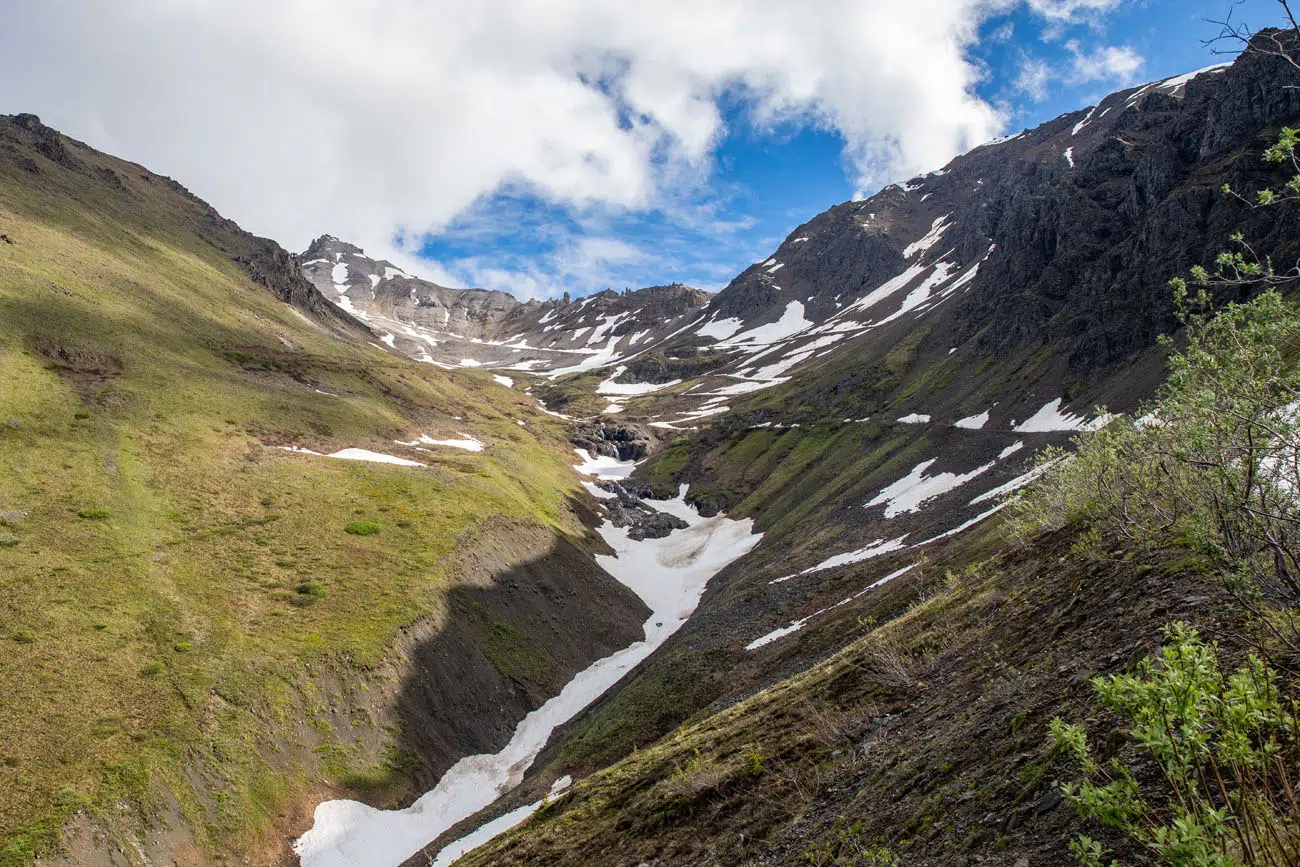
The trail goes through this valley and then makes numerous switchbacks on the way up to Bonanza Mine.
The trail somehow gets steeper at this point, but fortunately, the mosquitoes are no longer a nuisance. We loved this part of the hike, hiking up the rocky trail to the mine. It’s tough but it’s very unique, with waterfalls, views of the mountains, and an abandoned mine off in the distance.
This part of the trail is so steep that most likely you will need to pause to catch your breath and rest your legs multiple times. Our thighs and calves were screaming at us at this point.
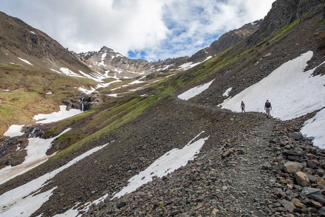
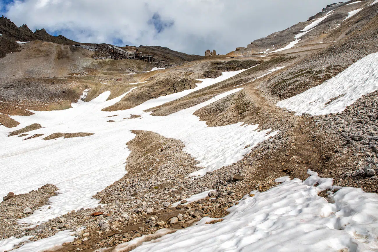
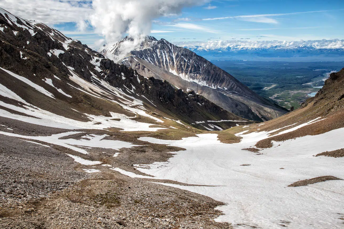
Looking back down the trail towards Kennicott
The trail leads right to the Bonanza Mine. Once you get to the mine, there is a wooden platform that makes a great place to sit, take a break, and enjoy the view.
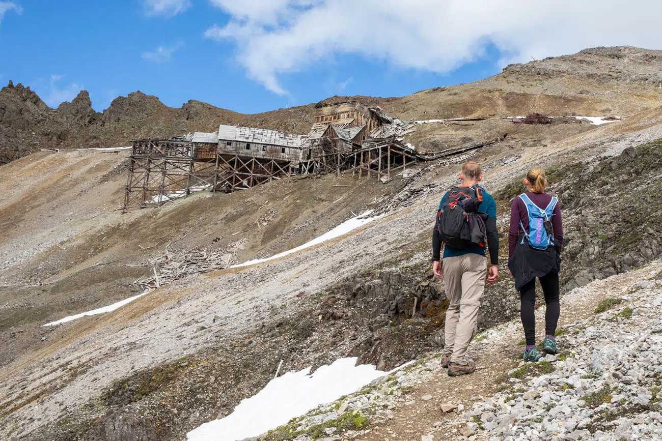
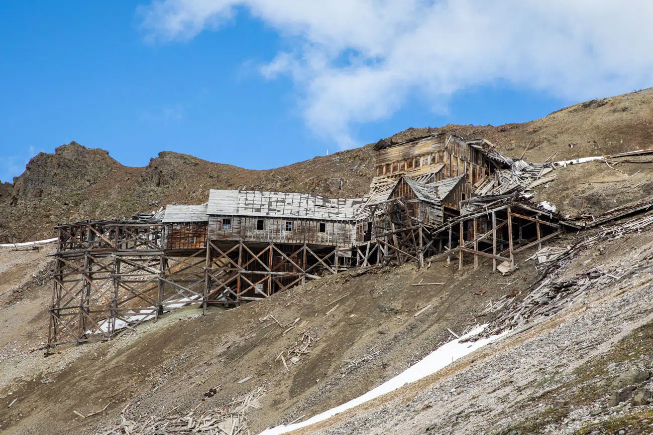
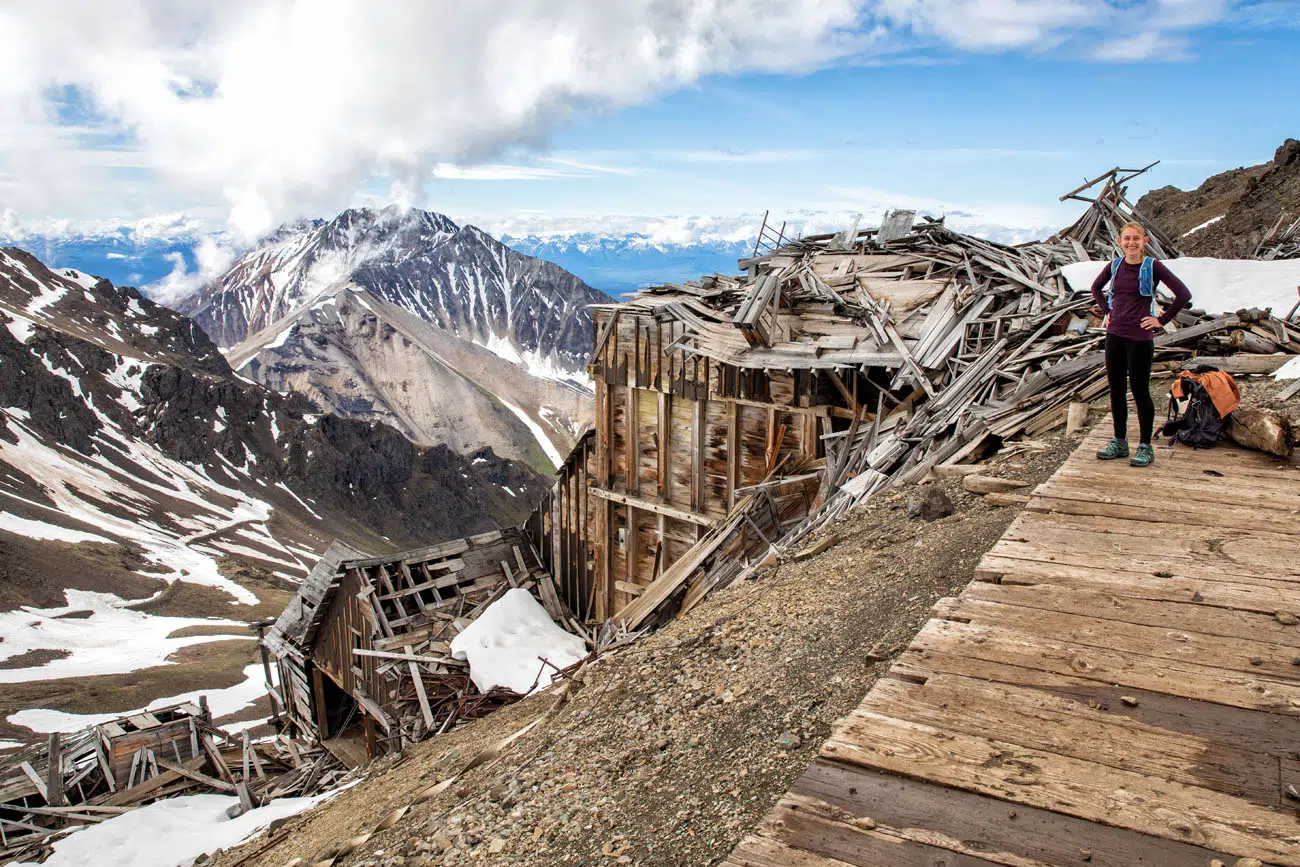
The Bonanza Mine
This crumbling, decrepit mine was built in the early 1900’s. Part of the building has collapsed in on itself, with boards lying on the ground below the mine. Old rusted chains, beams, and mining artifacts lie scattered on the ground around the mine.
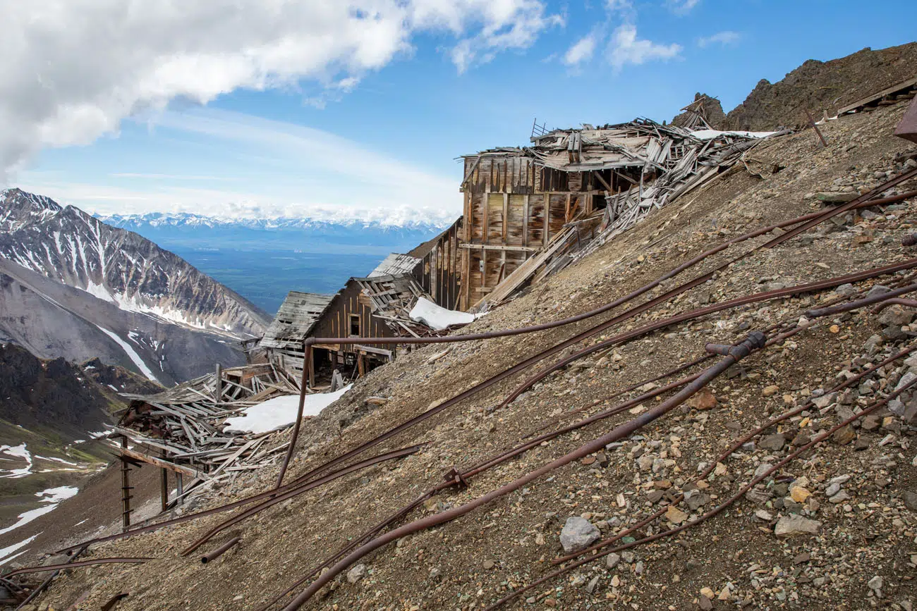
The steep pitch of the mountainside and the rusty metal artifacts make walking around here a bit dangerous, so watch your step. According to the National Park Service website, abandoned explosives have been removed from the area, although it is possible that a few still remain. If you see one, report it to the National Park Service.
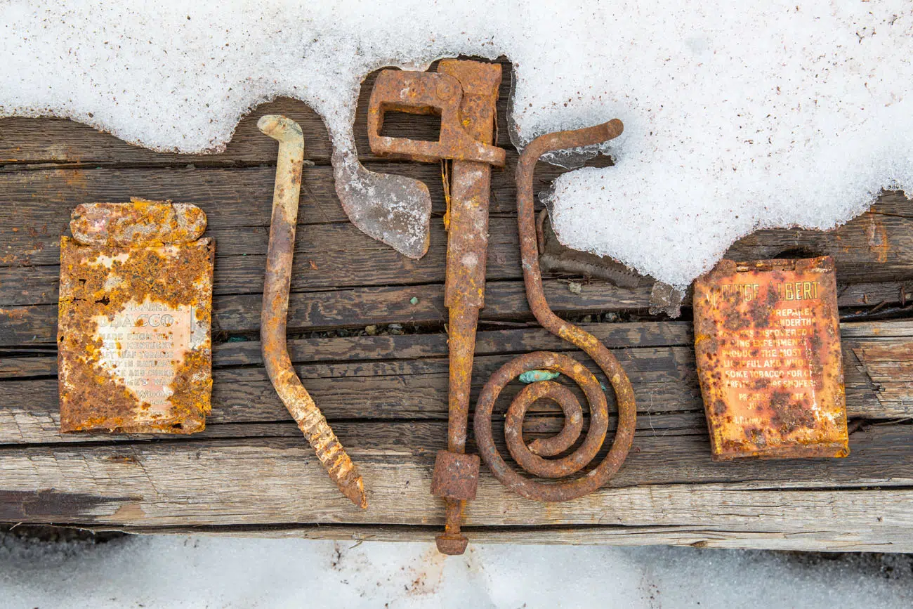
I have heard reports of people going inside the building to look around, but the National Park Service does not allow this. Prior hikers set out artifacts on the wooden platform for others to look at but please leave these here, and any other artifacts, as part of Leave No Trace.
For a Better View
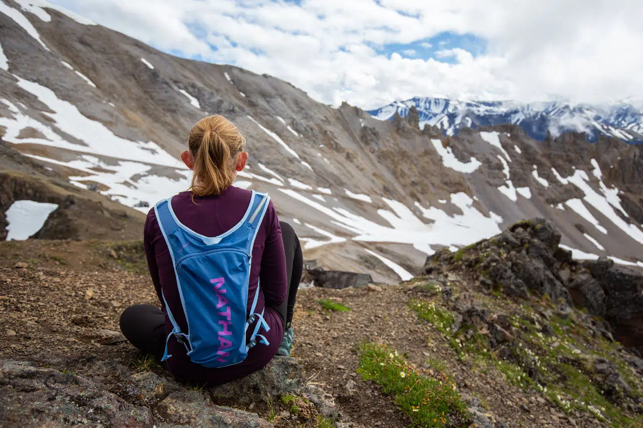
If you want a better view, you can hike up on the ridge just behind the mine. It’s very steep and there is no maintained trail, but there were faint, sketchy footprints through the scree that you can follow. Beware of rusty metal scraps lying on the ground. It takes just 5 minutes to get on top of the hill and from here you can wander around to the different viewpoints.
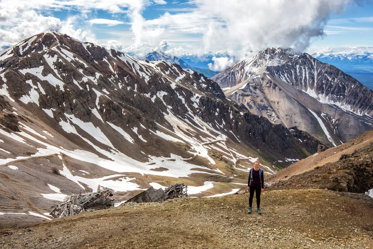
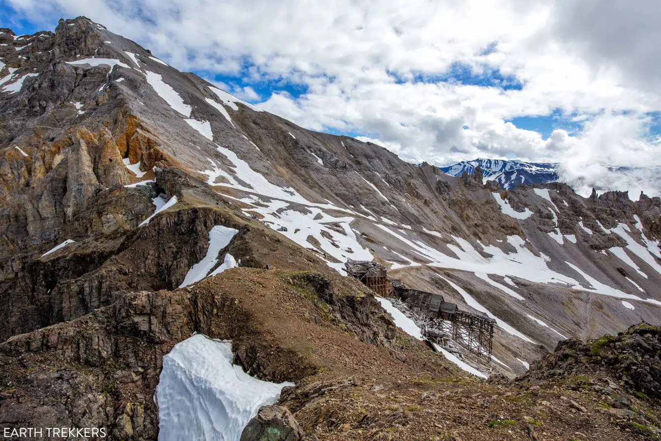
Bonanza Mine. Bonanza Peak is the gray peak at the top of this photo.
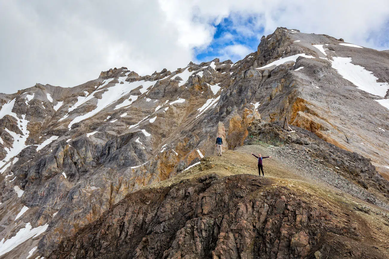
Bonanza Peak
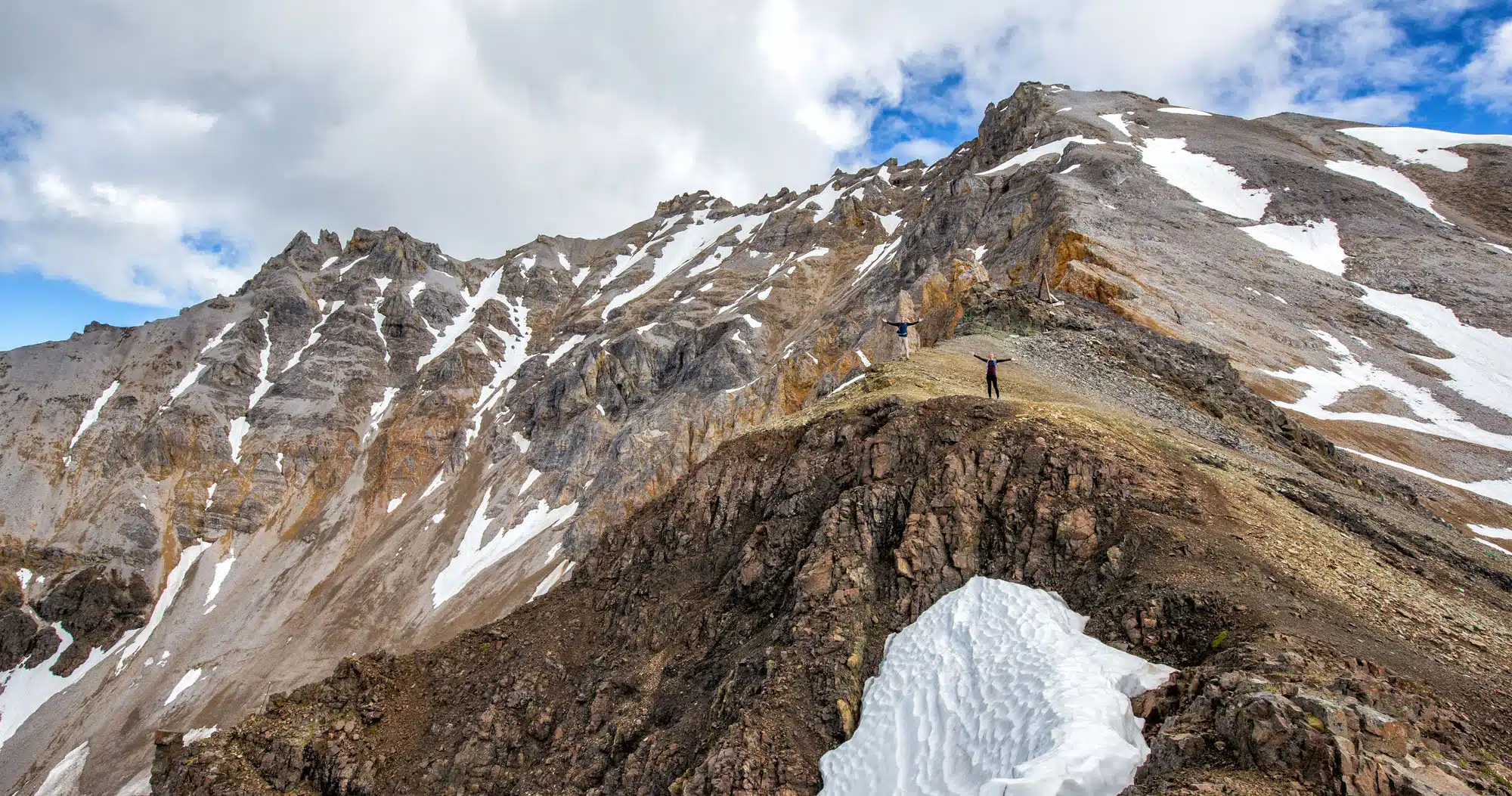
Bonanza Peak is the gray, rocky peak that looms over the mine. To get to the summit, it is a very challenging, massively steep and slippery ascent to get there. There is no maintained trail, just a faint line through the scree and loose rock.
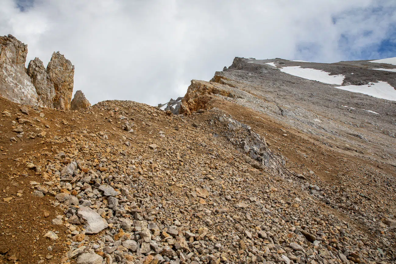
Looking up at Bonanza Peak. You can just barely see a sketchy trail leading up the mountain through the loose rock.
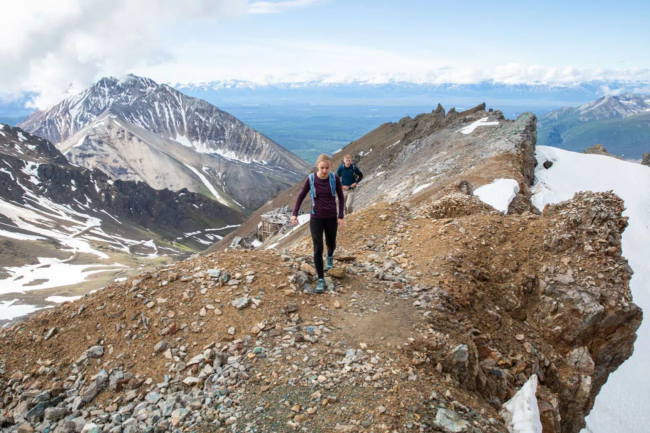
Hiking a short distance up Bonanza Peak. This is a dangerous hike, with loose rock and drop-offs, like the one on the side of this photo.
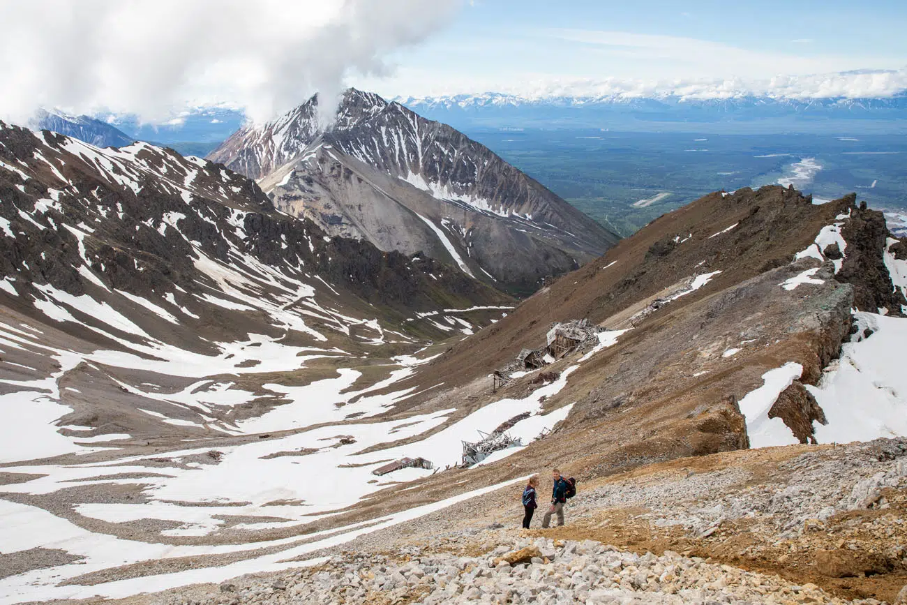
I went a little higher and took this view looking back down. This was as far as we went, both because of timing and safety reasons.
To get to the peak, you will have to pick a path through the loose rock. It’s incredibly steep, even at the bottom, and from what we saw, it gets even steeper the higher you go. We hiked up about 50 feet and quickly realized that this was going to take a lot of time and effort, not only going up, but also coming back down.
We chose to turn around, both for safety reasons and timing (we had a flight seeing tour a few hours later to get to).
This is extremely strenuous and dangerous, so only those with lots of hiking experience, and some rock climbing experience, should attempt this.
Later in the day, our flightseeing pilot, who also works as a hiking guide, told us that we did the right thing turning around. He told us that people get up to the peak but have trouble coming back down and sometimes need to be rescued. Our pilot recommended having lots of rock climbing experience and to bring a rope if you want to hike to Bonanza Peak.
The Return Hike
Retrace your steps back down the mountain. It’s easier and faster going back down, but it’s still a great thigh workout. By the time we got to the bottom, our legs were a bit wobbly.
If you’re hungry, make your way to the Meatza Wagon for a late lunch.
Tips to Have the Best Experience
Bring insect repellent. The mosquitoes can be ferocious on the bottom half of the trail.
Bring sunblock. You will be exposed to the sun for much of the hike.
Bring bear spray. You are in bear country and there’s the chance you could be sharing the trail with a bear. Talk to your hiking companions (or yourself), make noise, and keep an eye out for bear. The Kennicott Glacier Lodge will loan bear spray to hotel guests or you can purchase it from the small gift shop near the lodge.
Let someone know where you are going before you start this hike. It can be a family member, a friend, or even hotel staff. When we did this, we only saw a few people on the trail so it’s good to let someone know where you are going and when they should expect you to return.
If it’s a very cloudy or rainy day with low cloud cover, save this hike for another day if you can. The views from the top of the trail are awesome but low cloud cover can sock in the mountains and hide that awesome view you worked so hard for.
There is water along the trail. On the second half of the trail there is a small creek where you can refill your water bottle. Make sure you bring a water filtration device.
Before you go, get updates on trail conditions. The National Park Service has a small office near the Kennicott Glacier Lodge where you can get trail updates from a park ranger.
Leave No Trace. Practice the seven principles of Leave No Trace. This includes packing out what you bring to the hiking trail, be considerate of other hikers, and leaving archaeological artifacts as you found them.
If you have any questions, or if you want to share your experience, let us know in the comment section below. Also, if you have hiked to the top of Bonanza Peak and want to share that experience, we would love to hear about it, and I’m sure our readers would too.
More Information about Alaska
Read all of our articles about Alaska in our Alaska Travel Guide and the United States in our United States Travel Guide.
Comments 4