Summiting Mt. LeConte is one of the Smoky Mountains great hikes. It is a long way to the top but it’s an interesting experience, hiking through caves and along trails that, at times, cling to the side of the mountain. On a clear day, the view from the top of Mt. LeConte can be magnificent.
There are several ways to reach the summit of Mt. LeConte. We hiked up via the Alum Cave Trail, which is the focus of this post. However, you can also summit Mt. LeConte via the Boulevard Trail and Rainbow Falls.
Mt LeConte Hiking Stats (via Alum Cave Trail)
Distance: 11 miles round trip
Elevation Gain: 2800 feet
Difficulty: Strenuous
Length of Time: 6 – 8 hours
When to go: Any time of year. The best time to go is during the late spring and early summer months (catch the rhododendrons in bloom) or in autumn (see the Great Smoky Mountains ablaze in yellow, orange, and red).

Mount LeConte Elevation Profile
Please practice the seven principles of Leave No Trace: plan ahead, stay on the trail, pack out what you bring to the hiking trail, leave areas as you found them, minimize campfire impacts, be considerate of other hikers, and do not approach or feed wildlife.
Hiking Mt. LeConte
Getting to the Trailhead
The Alum Cave Trail starts at the Alum Cave Bluffs Trailhead parking lot, located right on US-441 in Great Smoky Mountains National Park. From Gatlinburg, it is a 13-mile drive (30 minutes).
There are several parking lots here. Even so, during the midday, overflow parking spills out on the shoulder lining US-441.
This trail attracts a lot of hikers, but not all have plans to hike all of the way to the summit. Most people turn around at Alum Cave, a much shorter day out on the trail.
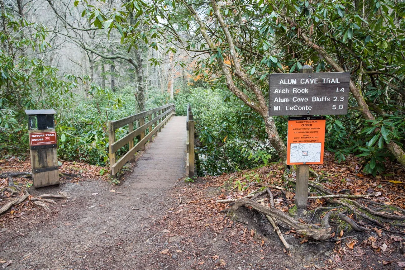
The Start of the Hike
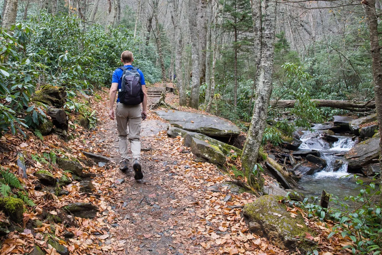
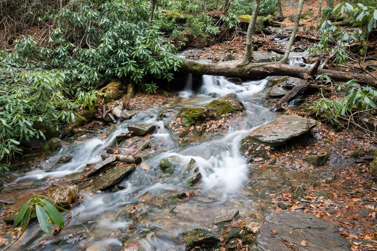
The first part of the trail is beautiful, as you hike along Alum Cave Creek. There are a crazy number of rhododendrons lining the Alum Cave Creek and this must look spectacular when they are blooming in June and July.
During this first part of the hike, the trail climbs slowly and steadily but it is not overly strenuous.
Arch Rock
1.4 miles into the hike you will reach Arch Rock. Here, you will climb up through a staircase carved from the mountain, while walking underneath a huge arch of rock.
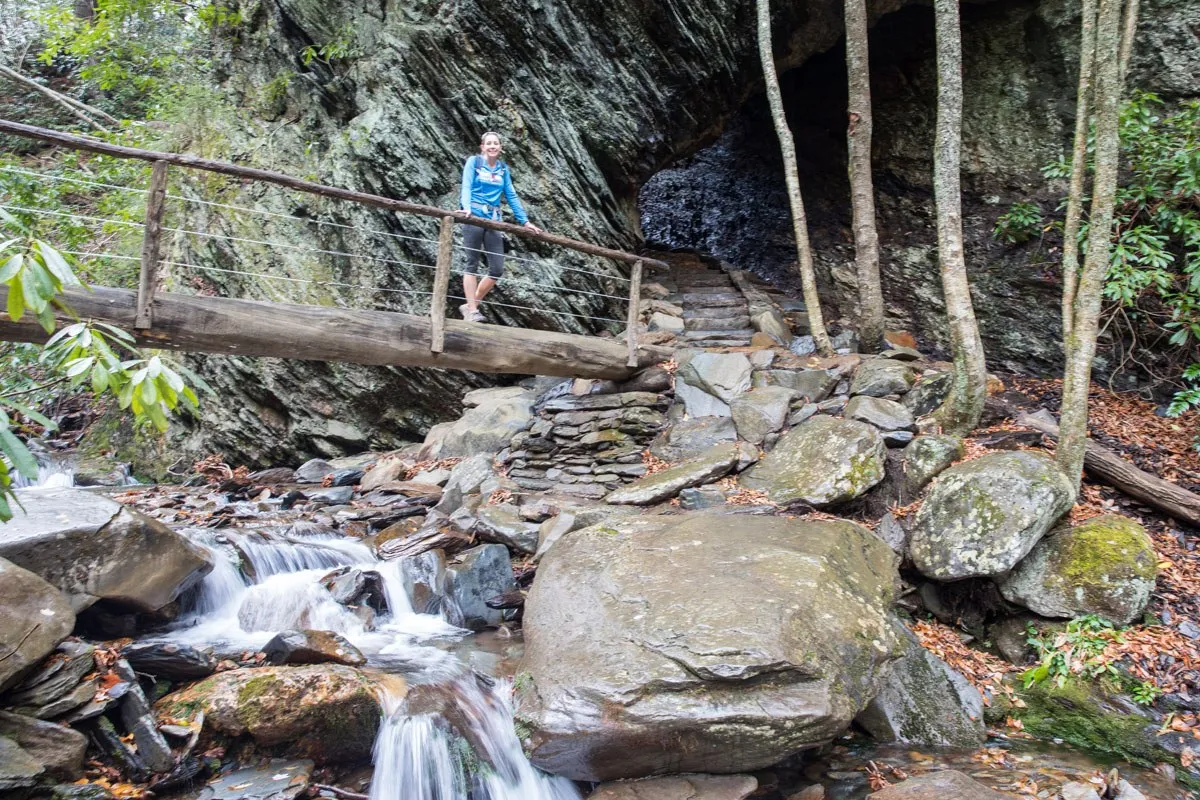
Alum Cave
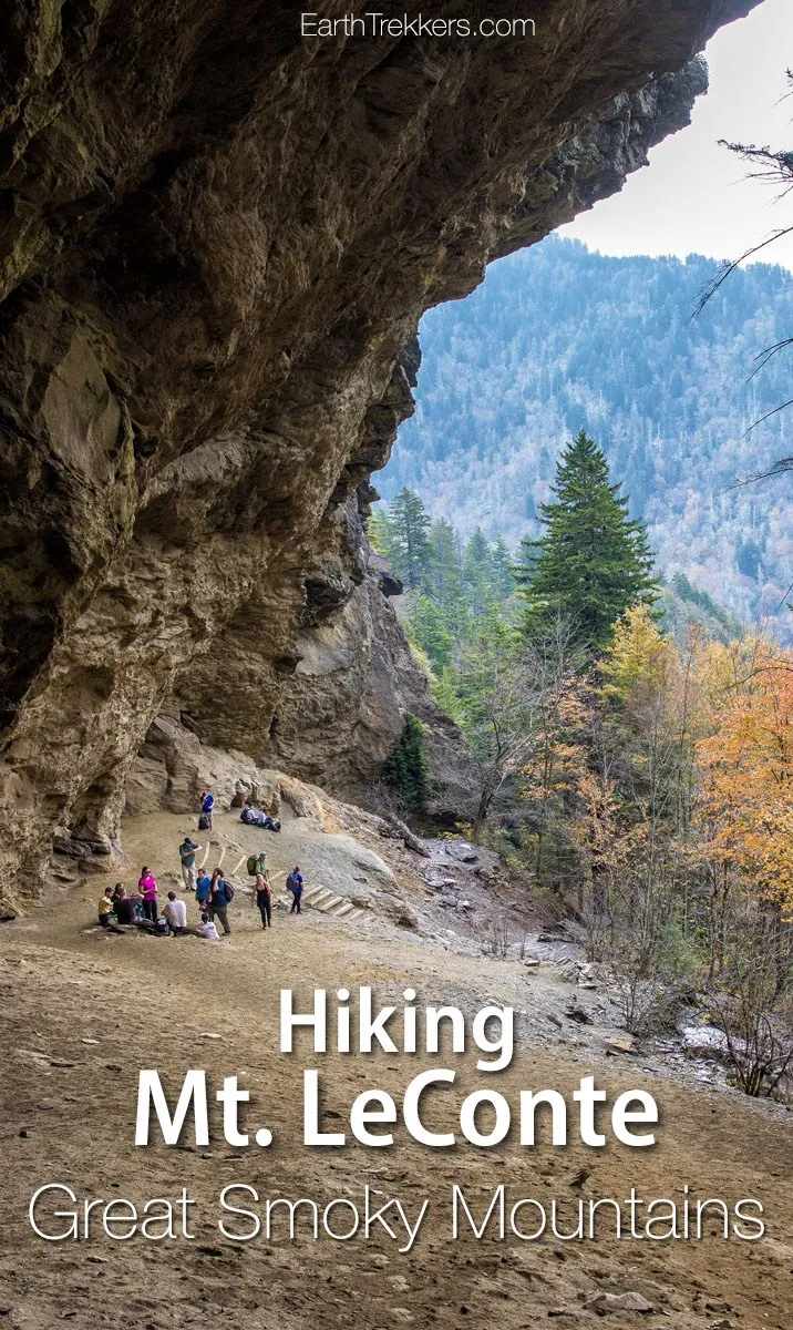
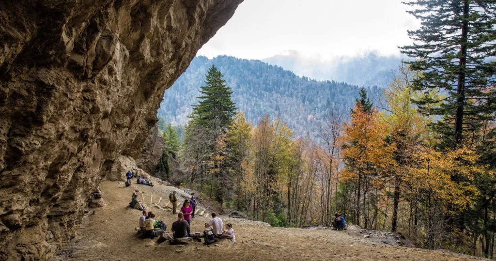
At 2.3 miles into the hike, you will reach Alum Cave. This is an enormous but shallow cave that overlooks the valley. Alum Cave is a great spot to take a break, catch your breath, and enjoy the view. It can be a crowded spot and for many people, this is the turnaround point of the day.
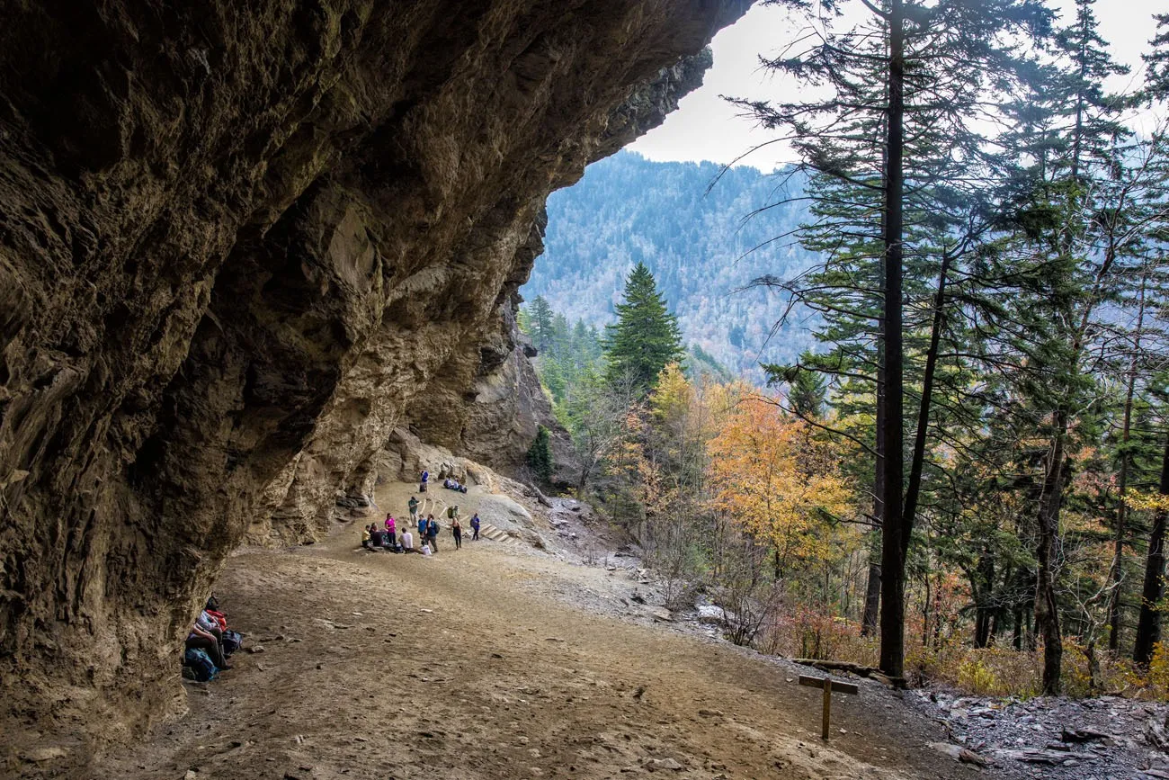
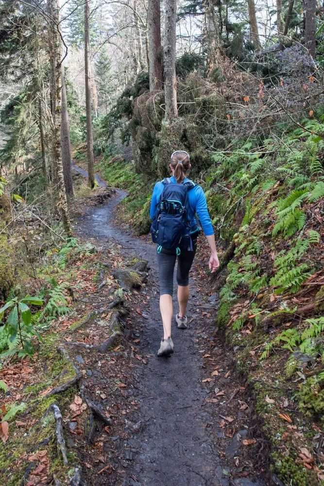
A short distance past Alum Cave the trail descends, just for a little bit. Enjoy it. It doesn’t take long for the trail to start climbing again, and now it feels steeper (or maybe that is because fatigue is starting to set in).
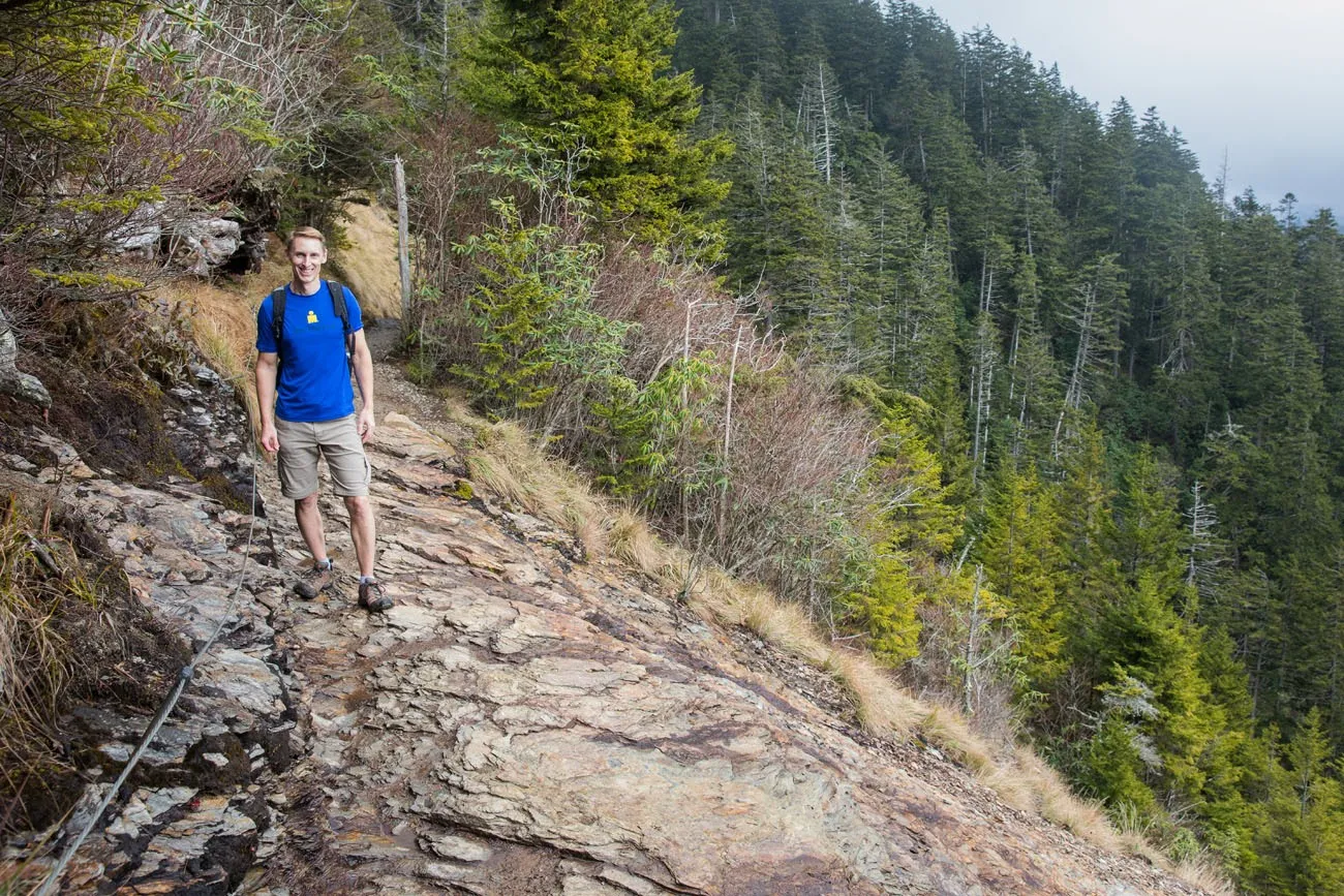
Between Alum Cave and the summit, the trail gets to be more exposed. There are sections where the trail is literally carved into the rocky cliffs on the mountain. At these points, cables are attached to the mountain to help you keep your balance. Take care here. There are several short sections where the trail drops off the side of the mountain.
Near the top, the trail levels off and heads through a forest of evergreen trees. It’s quiet and very peaceful here.
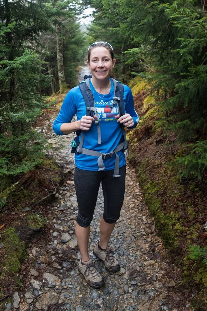
Just past the forest, the Alum Cave Trail joins the Rainbow Falls trail. Turn right here to continue on the Rainbow Falls Trail and to the LeConte Lodge and the summit.
LeConte Lodge
After just a few more minutes of hiking you will reach LeConte Lodge.
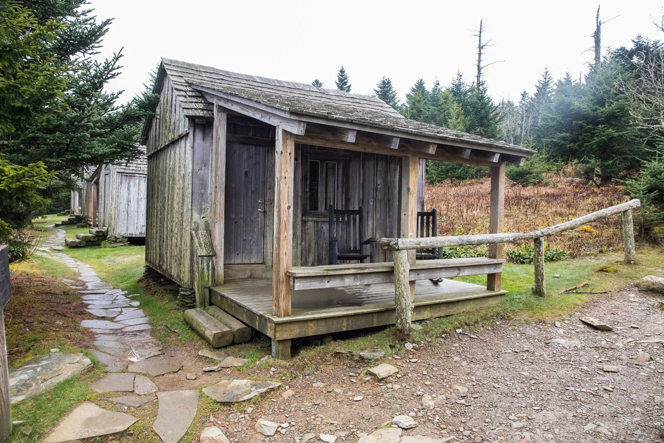
You can turn this one-day hike into a two-day trip by staying overnight in one of the cabins. Dinner, breakfast, and your cabin are included in the cost.
For full details about LeConte Lodge, click here.
Summit of Mt. LeConte
From the LeConte Lodge, it takes about ten to fifteen minutes of hiking (about .5 miles) to reach the true summit of Mt. LeConte.
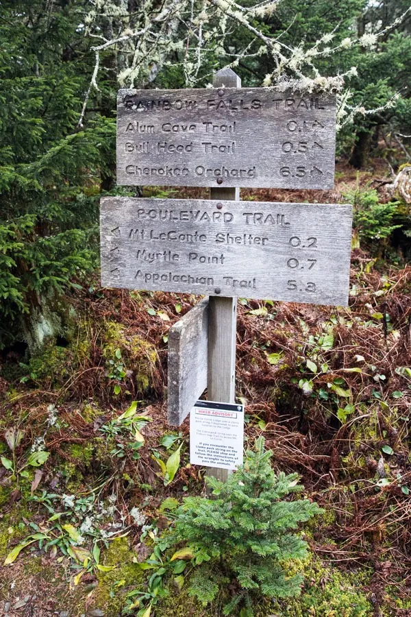
To get here, continue up the Rainbow Falls Trail (if you are standing with your back to the lodge, take a left).
Just past the lodge, the Rainbow Falls Trail ends. Stay to the right to continue on the Boulevard Trail to the LeConte summit (follow the signs to the LeConte Shelter).
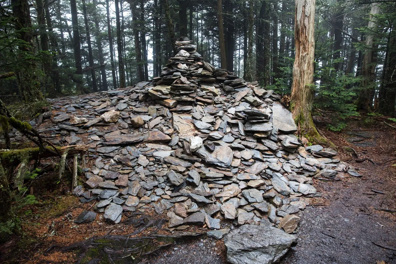
You know you have reached the summit of Mt. LeConte when you reach this giant rock cairn (located several more minutes past the LeConte shelter). At this point, you have hiked 5.5 miles from the trailhead.
Two Viewpoints to Consider
From the rock cairn, you can turn around and retrace your steps back down the mountain. Or, you have the option to take a quick walk to two different viewpoints. This is absolutely worth it on a clear day.
Myrtle Point
From the rock cairn, continue on the Boulevard Trail for another .4 miles until you reach Myrtle Point.
Cliff Top
Cliff Top looks like the better of the two viewpoints on Mt. LeConte. To get to Cliff Top, the trail starts directly across from the LeConte Lodge on the other side of the Rainbow Falls trail. It’s about .5 miles round trip to the viewpoint from LeConte Lodge.
Tim and I hiked to Cliff Top and all we could see was white mist, since the mountaintop was stuck in the clouds on our less than ideal day for our visit here. But this spot has some serious potential to provide breathtaking views on a clear day.
About Our Experience
Tim and I hiked Mt. LeConte at the very beginning of November. Most of the leaves were gone, especially at higher elevations. Two weeks earlier (the middle to the end of October) would be a great time to do this hike if you want to see the Smoky Mountains at peak colors.
We also did this on a cloudy, rainy day. From the top of Mt. LeConte, we had zero visibility. It was a big disappointment to miss out on seeing those sweeping views of the Smoky Mountains, but sometimes that’s just the way it goes. It rained during our descent back down the mountain, leaving us wet and a bit chilly once we got back to our car.
What to Bring on the Hike
Hiking Shoes. I highly recommend hiking shoes, not walking or running shoes. Sections of the trail are carved out of the rocky cliffs along the mountain. These surfaces are uneven and can be slippery, especially if it is wet. Hiking shoes will give you better traction.
Water. Bring plenty of water, especially if you will be hiking midday or during the warmer months.
Hiking poles (optional). Hiking poles are my new favorite hiking gadgets and I highly recommend them. They take about 30% of the weight off of your legs as you descend, easing knee pain and other symptoms. I use Black Diamond Distance Z poles and love them. They easily collapse down to fit in your luggage and hiking backpack, plus they are extremely lightweight. The poles come in several sizes, so make sure you pick the right length based on your height.
Essential Hiking Gear: What Should You Bring on a Day Hike?
If you are new to hiking or are curious about what you should bring on a hike, check out our Hiking Gear Guide. Find out what we carry in our day packs and what we wear on the trails.Where We Stayed
We stayed at the Holiday Inn Express in Gatlinburg. It is relatively new with an excellent location in Gatlinburg, in walking distance of the center of town.
Have you been to the Great Smoky Mountains? What is your favorite hike? Comment below!
More Information for Your Trip to the Smoky Mountains





Comments 14