Hiking the McKittrick Canyon Trail to Pratt Cabin, the Grotto, and the Notch is one of the most popular hikes in Guadalupe Mountains National Park. This hike starts off relatively easy, as it is a mostly flat walk through the canyon to get to the first two sights, the Pratt Cabin and the Grotto. Beyond the Grotto, the trail gets rocky and rapidly climbs higher to the Notch, but the reward is a great view of McKittrick Canyon.
In this guide, we cover the full hike on the McKittrick Canyon Trail to the Notch, with information on the shorter versions to Pratt Cabin and the Grotto, if you don’t plan to go the full distance.
McKittrick Canyon Trail Hiking Stats
Hiking Stats to Pratt Cabin
Distance: 4.75 miles (7.6 km) round trip (out-and-back)
Difficulty: Easy
Total Ascent: 525 feet (160 m)
Starting Elevation: 5,000 feet (1,524 m)
Elevation at Pratt Cabin: 5,220 feet (1,591 m)
Time: 1.5 to 3 hours
Hiking Stats to Pratt Cabin & the Grotto
Distance: 7.25 miles (11.7 km) round trip (out-and-back)
Difficulty: Easy to moderate
Total Ascent: 820 feet (250 m)
Starting Elevation: 5,000 feet (1,524 m)
Elevation at the Grotto: 5,350 feet (1,630 m)
Time: 2 to 4 hours
Hiking Stats to Pratt Cabin, the Grotto & the Notch
Distance: 9.8 miles (15.7 km) round trip (out-and-back)
Difficulty: Moderate to strenuous
Total Ascent: 1,675 feet (510 m)
Starting Elevation: 5,000 feet (1,524 m)
Highest Elevation (the Notch): 6,100 feet (1,859 m)
Time: 4 to 6 hours
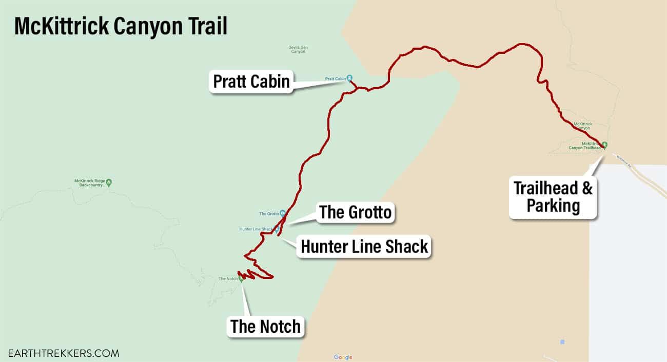
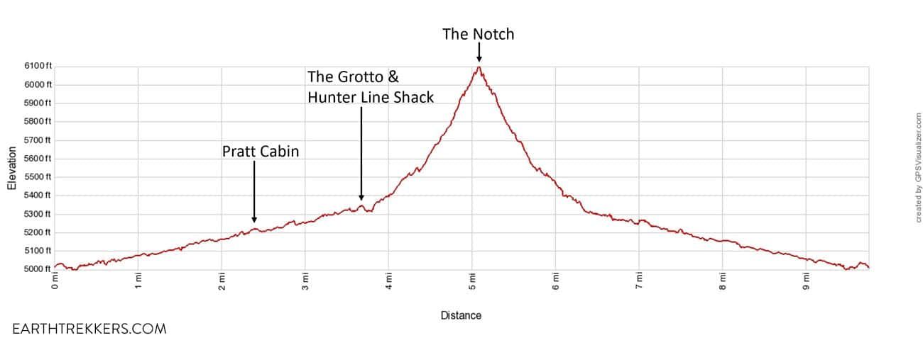
McKittrick Canyon Trail elevation profile
Please practice the seven principles of Leave No Trace: plan ahead, stay on the trail, pack out what you bring to the hiking trail, leave areas as you found them, minimize campfire impacts, be considerate of other hikers, and do not approach or feed wildlife.
How to Hike McKittrick Canyon
McKittrick Canyon Trailhead
The trailhead is located in the McKittrick area of Guadalupe Mountains National Park. From US Highway 62/180, turn onto McKittrick Road and drive to the very end. There is a large parking lot here as well as a ranger station and restrooms. The restrooms have toilets and sinks (they are not vault toilets).
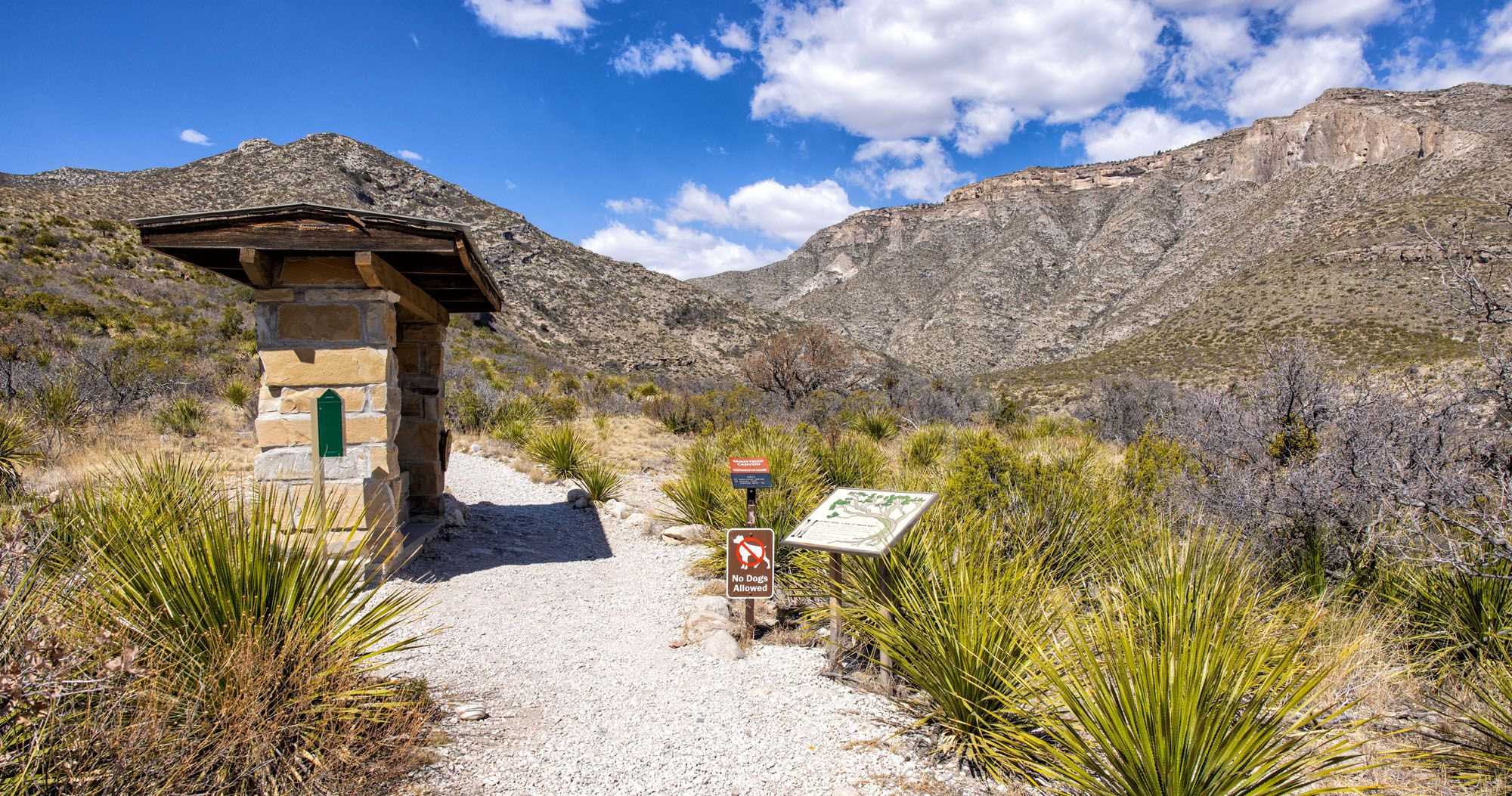
To get to the trailhead, walk through the building to the other side. The trail starts here (just look for the large sign).
Three trails start right at this point. The McKittrick Canyon Trail is the middle of these three trails. It is the wider of the three trails and covered with bright white gravel. The Permian Reef Trail heads off to the right and the McKittrick Nature Trail heads off to the left.
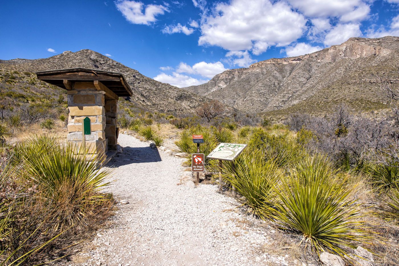
McKittrick Canyon Trailhead
Hiking to Pratt Cabin
To hike to Pratt Cabin, it is a 2.4-mile hike one-way. This is the easiest part of the hike to the Notch.
From the trailhead, you enter McKittrick Canyon. Off to the right, Wilderness Ridge looms over the canyon.
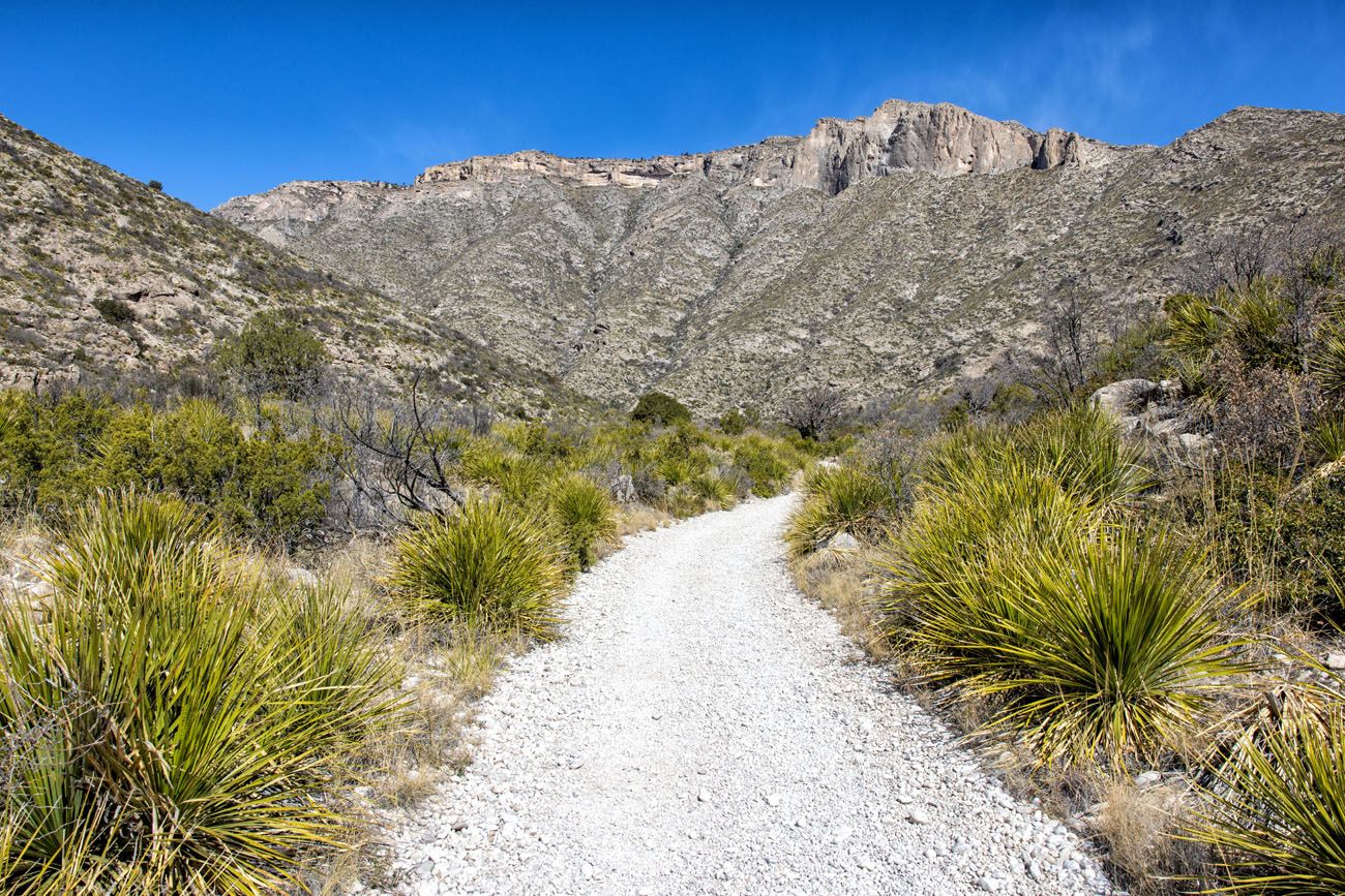
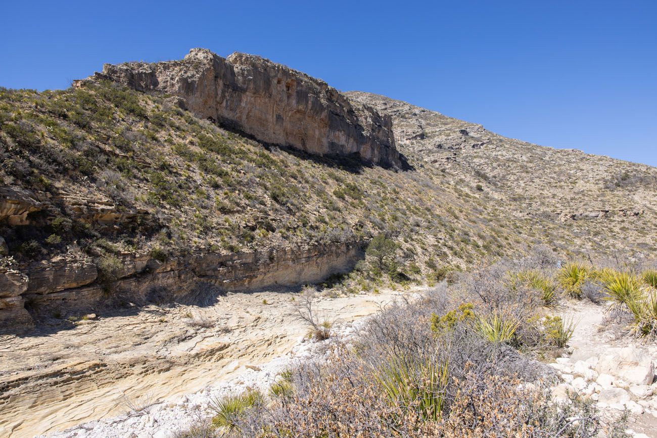
View from the McKittrick Canyon Trail
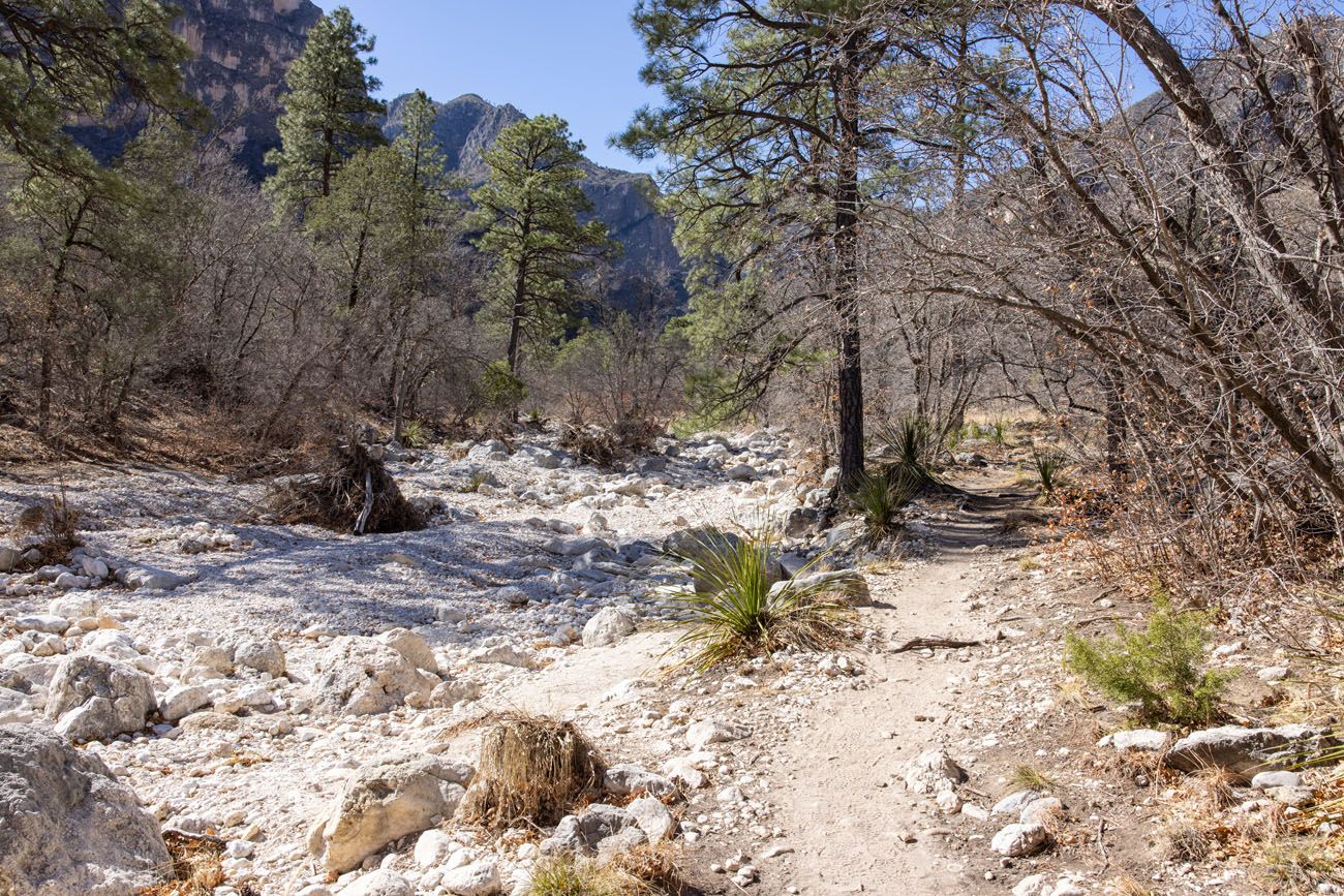
As the trail heads deeper into McKittrick Canyon, it crosses a dry wash several times and there will be one to two creek crossings (the creek may be dry depending on recent rainfall). The surface of the trail is gravel and easy to walk. It slowly climbs uphill, but the ascent is so gradual that you may not even notice that you are walking uphill.
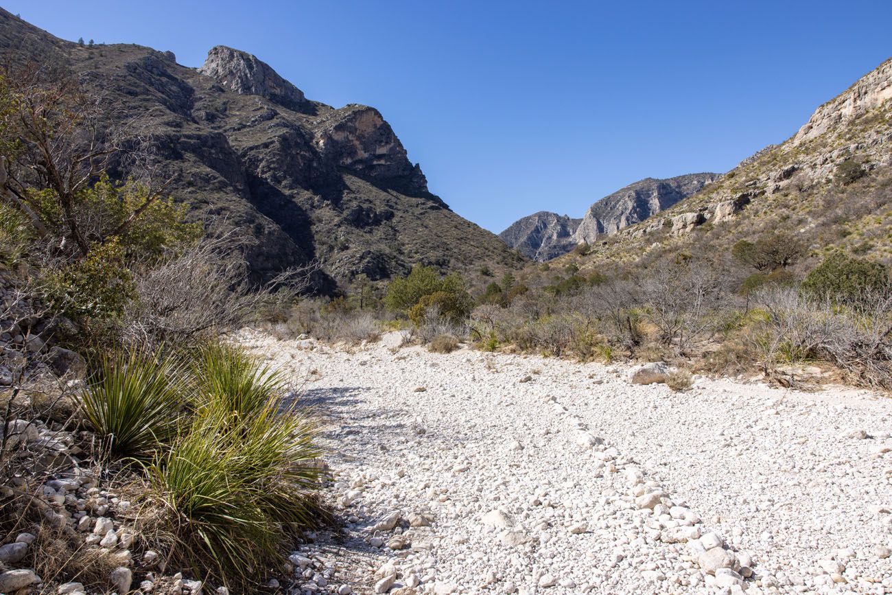
For this part of the hike, you have wide open views of McKittrick Canyon and Wilderness Ridge. With just a few trees here and there, most of this trail is exposed to the sun.
Once you get to the 2-mile point of the hike, keep an eye out for the detour to Pratt Cabin. It is marked with a small metal sign and the trail to Pratt Cabin leads off to the right.
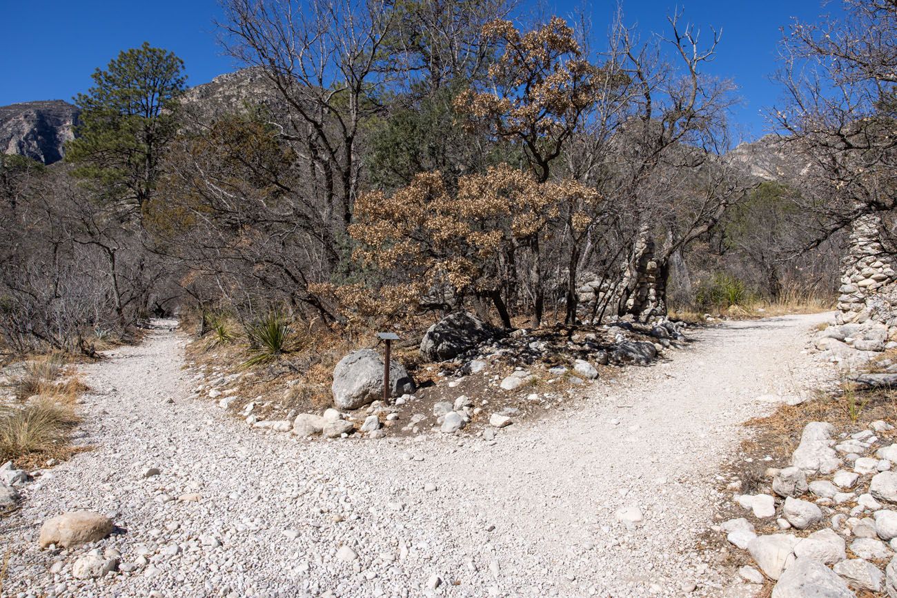
Trail Junction: Pratt Cabin is to the right and the McKittrick Canyon Trail continues to the left.
From the trail junction, it only takes about 2 minutes to walk to Pratt Cabin. There are picnic tables here. If the cabin is open, you can take a look inside. There are no restrooms or running water here.
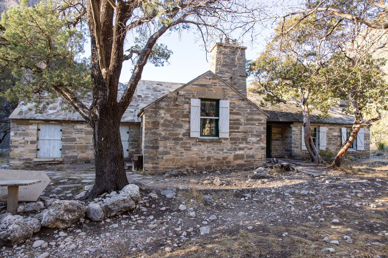
Pratt Cabin
Continuing to the Grotto
From Pratt Cabin, it is just under a 1.5 mile walk to get to the next optional (but worthwhile!) detour, the Grotto.
Beyond Pratt Cabin, the trail narrows, the gravel disappears, and now you are walking on a dirt singletrack trail. It is rocky in some places. Again, the trail steadily and almost imperceptibly heads uphill. There will be a few more places where you cross the wash.
This part of the trail looks a lot different than the first section of the hike. Now, you are deeper in the canyon and there are a lot more trees and shade here. The trail feels more sheltered and it’s a little easier to walk, now that you aren’t hiking on loose gravel.
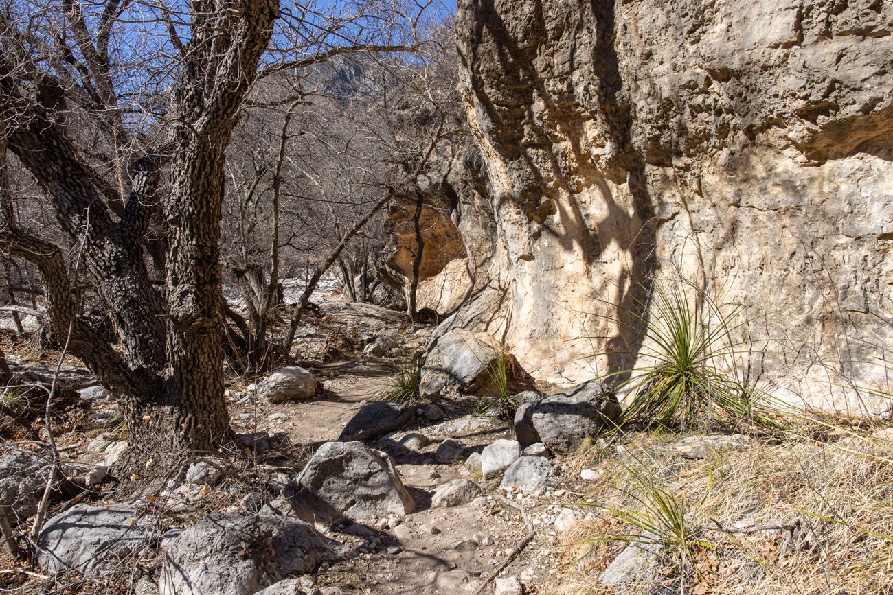
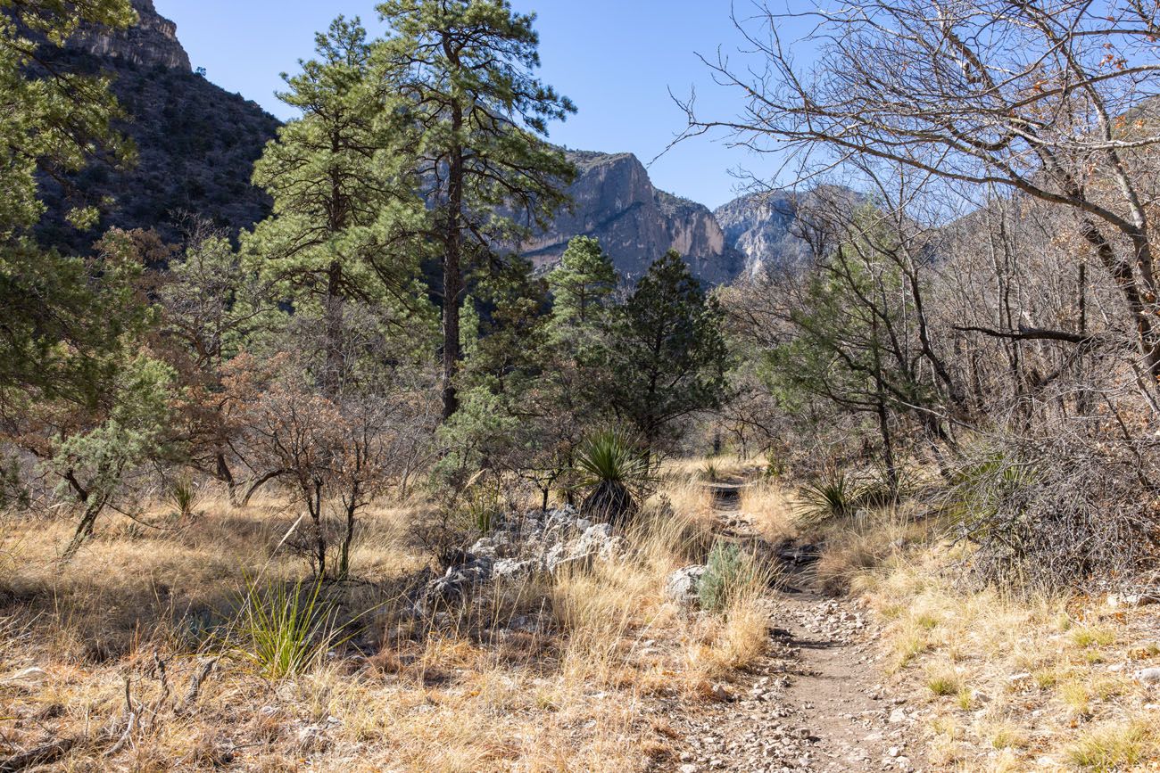
The detour to the Grotto is marked with a metal trail sign. The trail to the Grotto leads off to the left and heads downhill on a very rocky trail. It takes about 2 to 3 minutes to get to the Grotto.
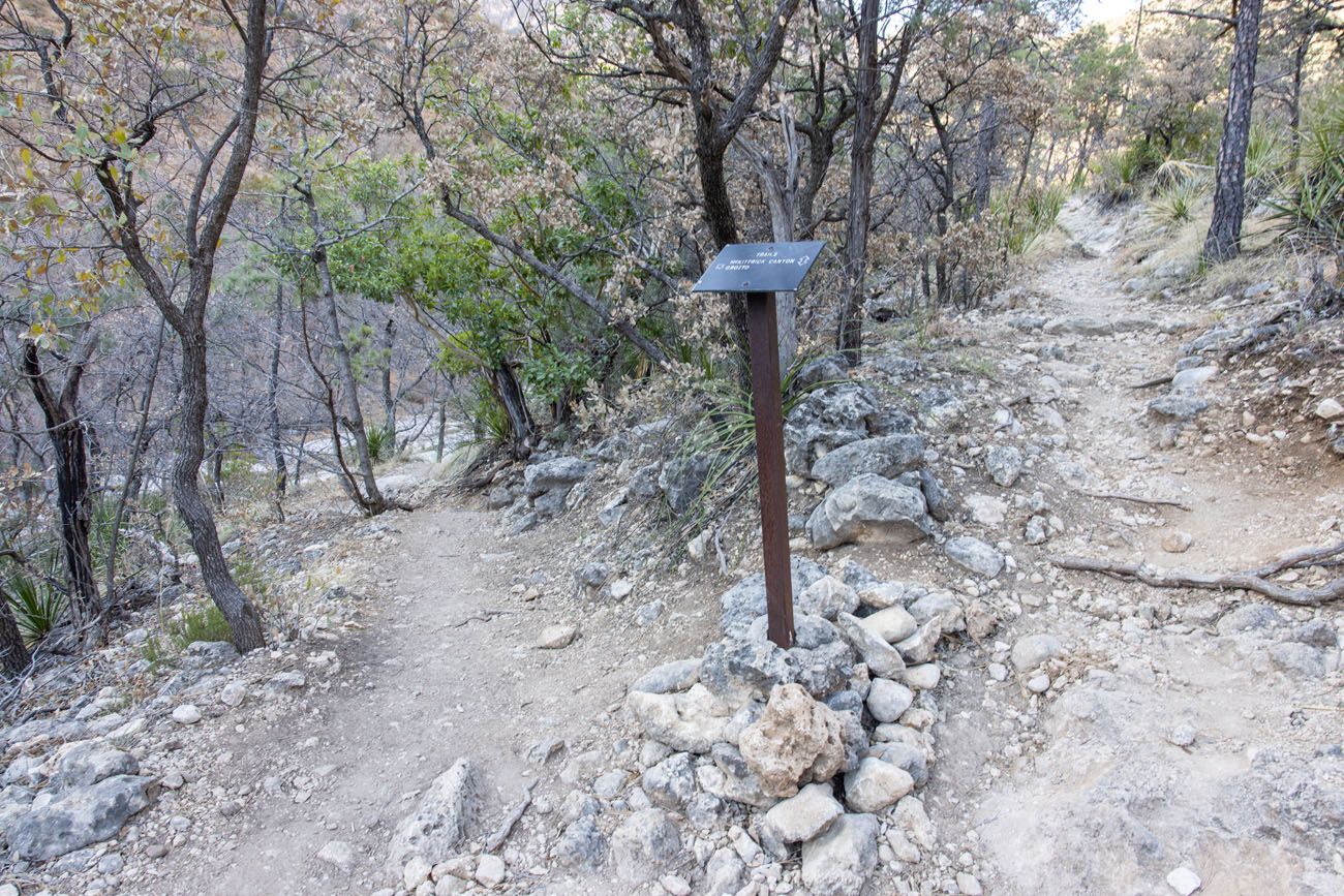
Trail Junction: The trail to the Grotto is on the left and the McKittrick Canyon Trail continues on the right.
The Grotto is a small cave with formations that resemble stalactites and stalagmites, with a little bit of imagination. Just beyond the Grotto is a cluster of picnic tables.
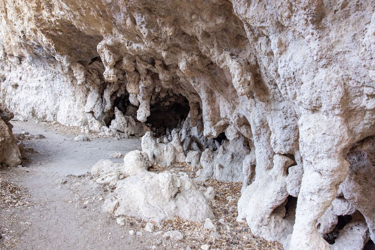
The Grotto
You also have the option to continue on to the Hunter Line Shack and it takes about 4 to 5 minutes to walk here from the Grotto.
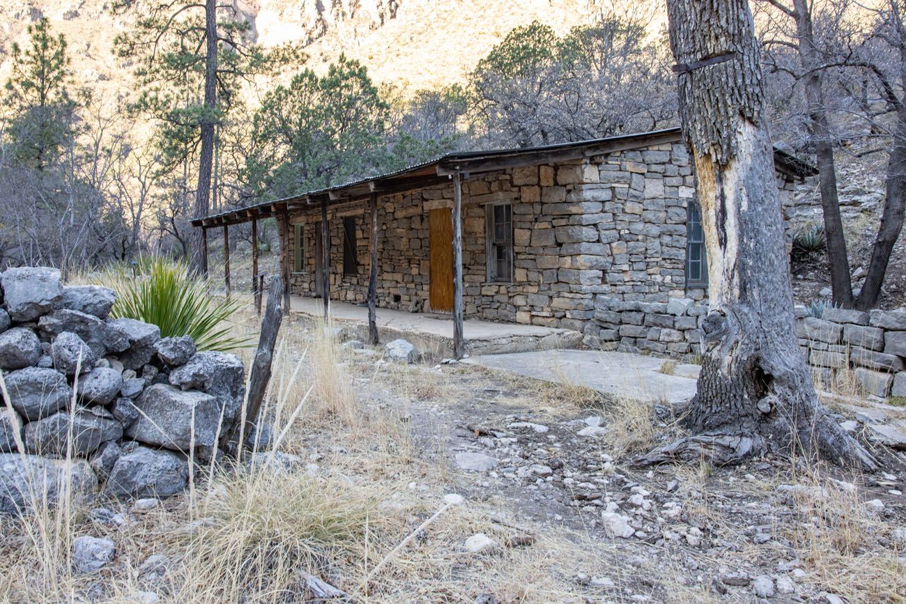
Hunter Line Shack
Hiking to the Notch
The hike is lot more difficult beyond the Grotto.
From the Grotto, retrace your steps back to the McKittrick Canyon Trail and turn left to continue to the Notch. The trail gets noticeably steeper and much rockier.
As the trail switchbacks up the McKittrick Ridge, it can be quite steep at times, with large boulders to climb up and in some cases, long series of steep, somewhat uneven steps. Don’t underestimate this part of the hike…it is challenging.
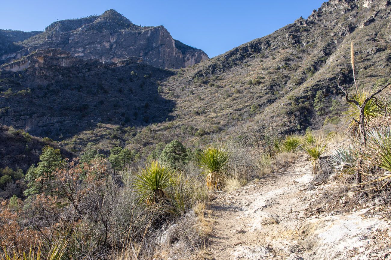
Beyond the Grotto, the trail gets steeper and if you look closely, you can see the trail as it switchbacks up the mountain.
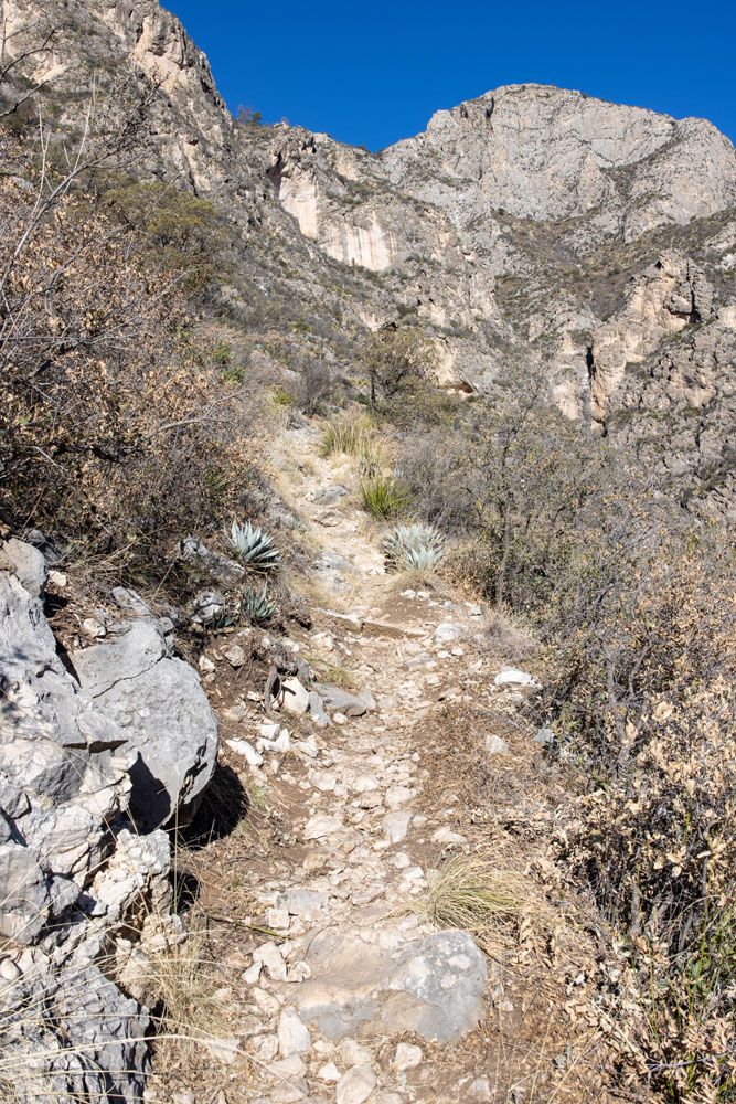
View of the trail.
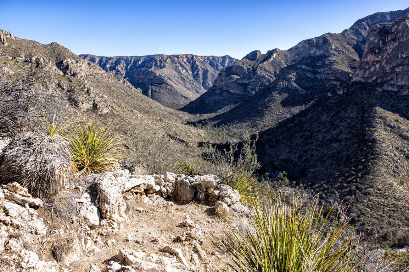
View of McKittrick Canyon from the trail.
The final 0.25 miles up to the Notch is the most difficult. This is the steepest, narrowest, and rockiest part of the trail. But your reward, once you get to the Notch, are awesome views of McKittrick Canyon in both directions.
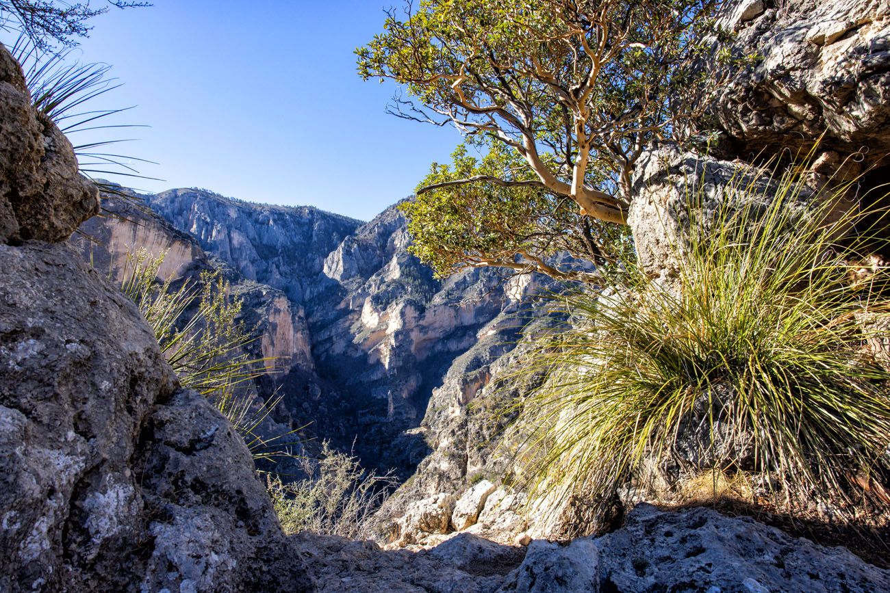
The Notch
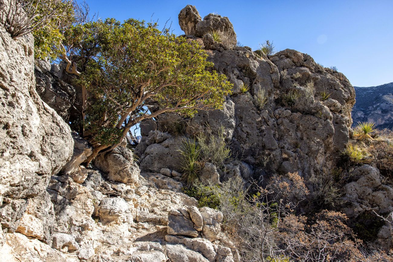
Another view of the Notch
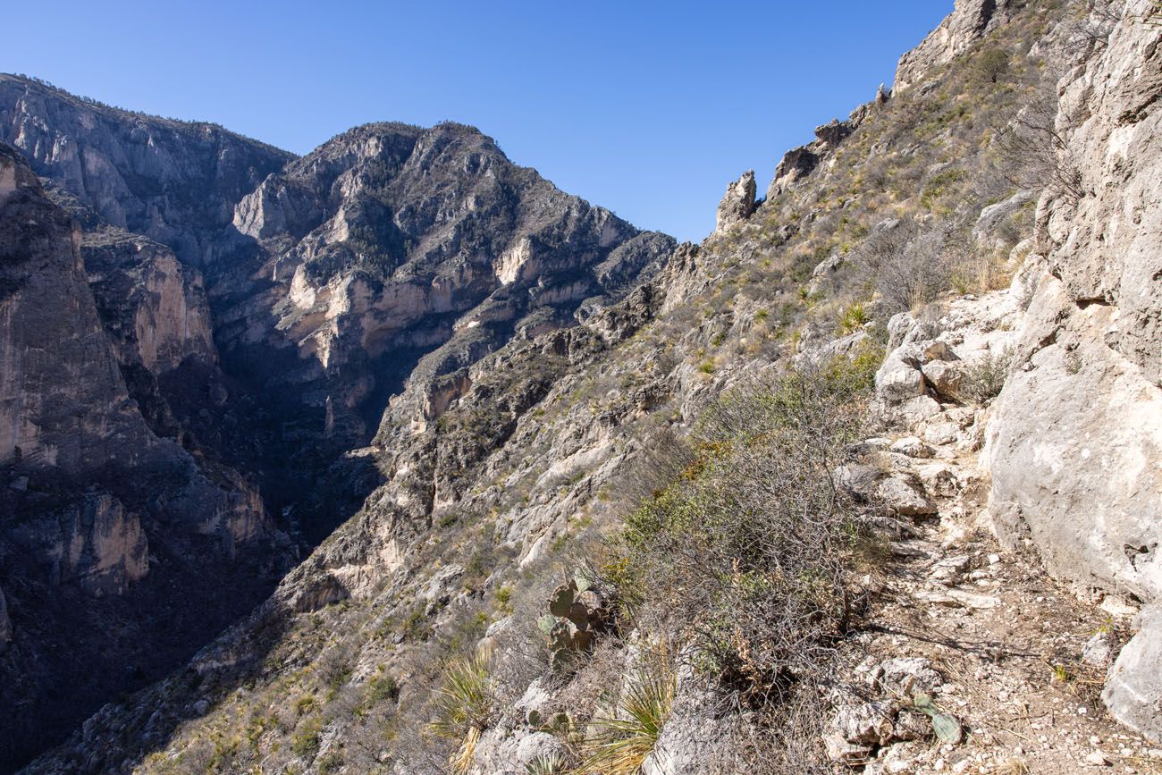
McKittrick Canyon Trail beyond the Notch
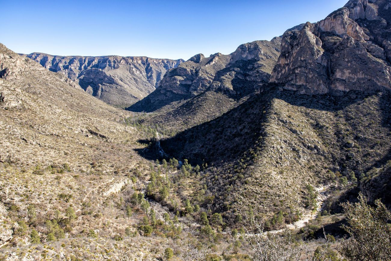
McKittrick Canyon from a viewpoint near the Notch.
Beyond the Notch, the trail continues is climb up to the McKittrick Ridge Backcountry Campground. You have the option to go farther or turn around and hike back to the parking lot.
Is Hiking to the Notch Worth It?
Hiking the McKittrick Canyon Trail to the Notch and the other detours along the way is one of the most popular hikes in Guadalupe Mountains National Park. When I did this, I started relatively early in the morning (about 8 am) and was the first person to the Notch. For the entire first half of the hike, I had the trail to myself, other than passing two backpackers on the trail.
On the return hike, I passed literally hundreds of other hikers on the trail (we visited Guadalupe Mountains during spring break in March, one of the busiest weeks to be in the park).
The views from the trail and the detours to the cabin and Grotto are just OK…nothing all that spectacular…which had me wondering why was this hike so popular?
We only had enough time to do one hike in the McKittrick area of the park, so Tim and I split up. While I hiked the McKittrick Canyon Trail, Tim hiked the Permian Reef Trail.
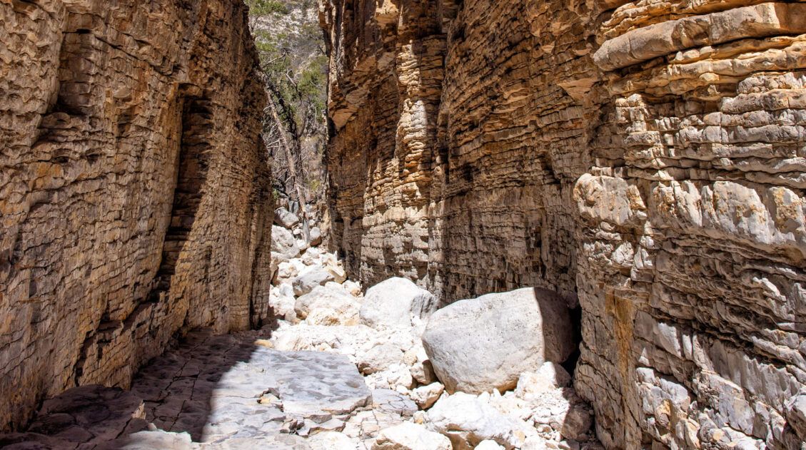
When we rejoined at the trailhead, Tim had a huge smile on his face. The first thing he said was “that was a great hike!” He loved the trail, the short but fun walk through a slot canyon, and the best part, the views from the top of the ridge.
The Permian Reef Trail is slightly shorter than hiking to the Notch, but there is 1,000 feet more elevation gain, so overall it is a tougher hike. But your reward is better views, an overall more interesting hiking trail, and just a fraction of the number of people that the McKittrick Canyon Trail. Tim saw just 2 other people on his hike, and that was right before he got back to the trailhead. He hiked roughly 9 miles without seeing another person.
So, is the McKittrick Canyon Trail worth it?
It’s nice, but there are a bunch of hikes that we liked a lot more. I recommend doing these first and if you still have time, then hike the McKittrick Canyon Trail.
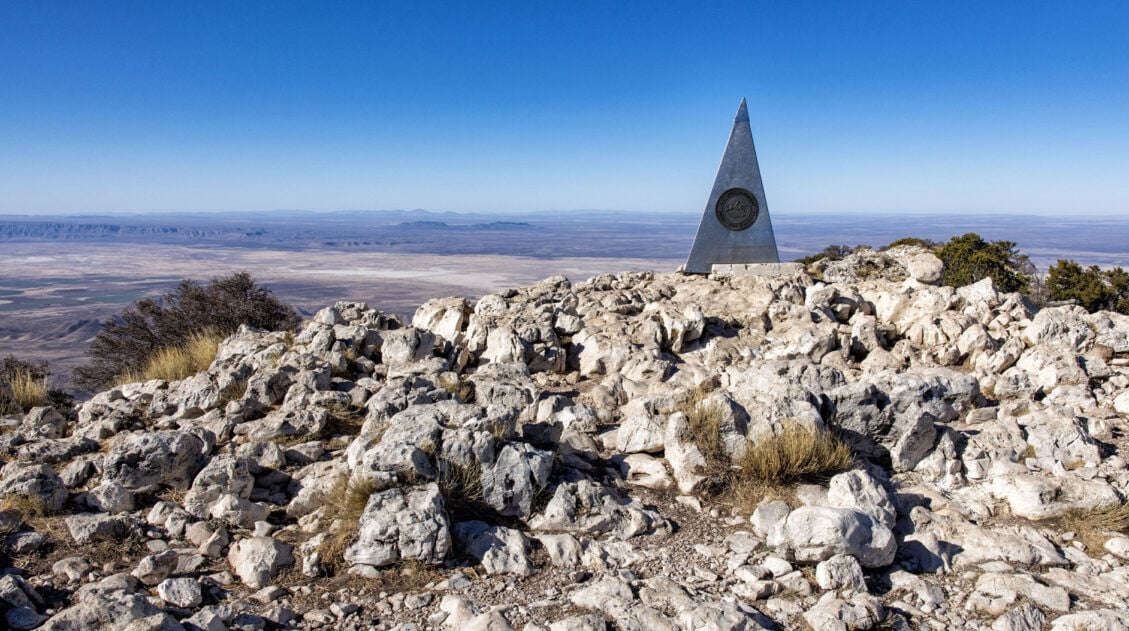
In this area of the park, the Permian Reef Trail is the best hike to do, in our opinion. Devil’s Hall, which is in Pine Springs, is shorter and more fun than the McKittrick Canyon Trail, and it leads to a cool looking slot canyon. In Pine Springs, you can also hike to the highest point in Texas by standing on Guadalupe Peak. And finally, I liked the Lost Peak Trail more than the McKittrick Canyon Trail, but this one is in Dog Canyon, a remote area of the park (but that’s one of the reasons I liked it more…I liked the solitude and low crowds in Dog Canyon).
The advantage of the McKittrick Canyon Trail is that it’s great for all ages and ability levels. Avid hikers can go all of the way to the Notch while kids and those whom aren’t a big fan of hiking can hike to Pratt Cabin or the Grotto.
Tips to Have the Best Experience
Start the hike early, ideally by 8 am (but even better is early). By starting early, you can get one of the parking spaces in the trailhead parking lot. You will also get ahead of the crowds and hike in the cooler part of the day.
Cellular Service. I had no cellular service on this trail. Do not expect to be able to call, text, email, or access the internet while in the McKittrick area of Guadalupe Mountains National Park.
What to Bring on the Hike
Hiking shoes. You can get by with a good pair of walking shoes or running shoes for this hike if you only plan to go to Pratt Cabin or the Grotto. However, if you plan to hike to the Notch, I recommend wearing hiking shoes. The extra traction on hiking shoes will make it easier and safer to hike the rocky trail to the Notch.
Water and snacks. Bring at least 3 liters of water per person in the summer if you plan to hike to the Notch.
Sunscreen, hat, and sunglasses. A small portion of the trail is shaded (between Pratt Cabin and the Grotto), but you will be exposed to the sun on the remainder of the trail.
Camera. Even a smartphone will do.
Essential Hiking Gear: What Should You Bring on a Day Hike?
If you are new to hiking or are curious about what you should bring on a hike, check out our Hiking Gear Guide. Find out what we carry in our day packs and what we wear on the trails.If you have any questions about hiking the McKittrick Canyon Trail to the Notch, let us know in the comment section below.
Where Are You Going Next?
If this is part of a bigger road trip to Texas and New Mexico, here is more information to help you plan your trip.
Comments 4