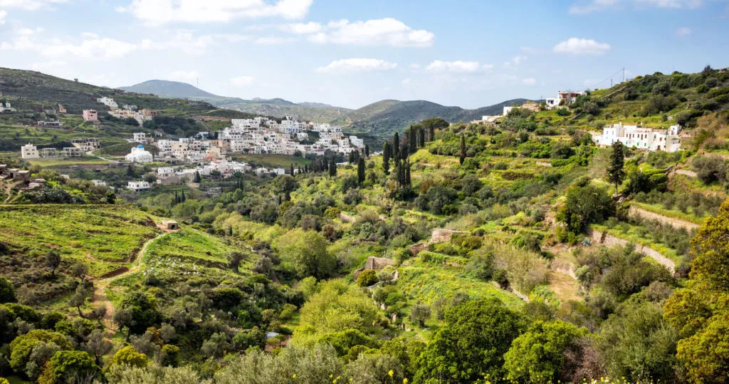

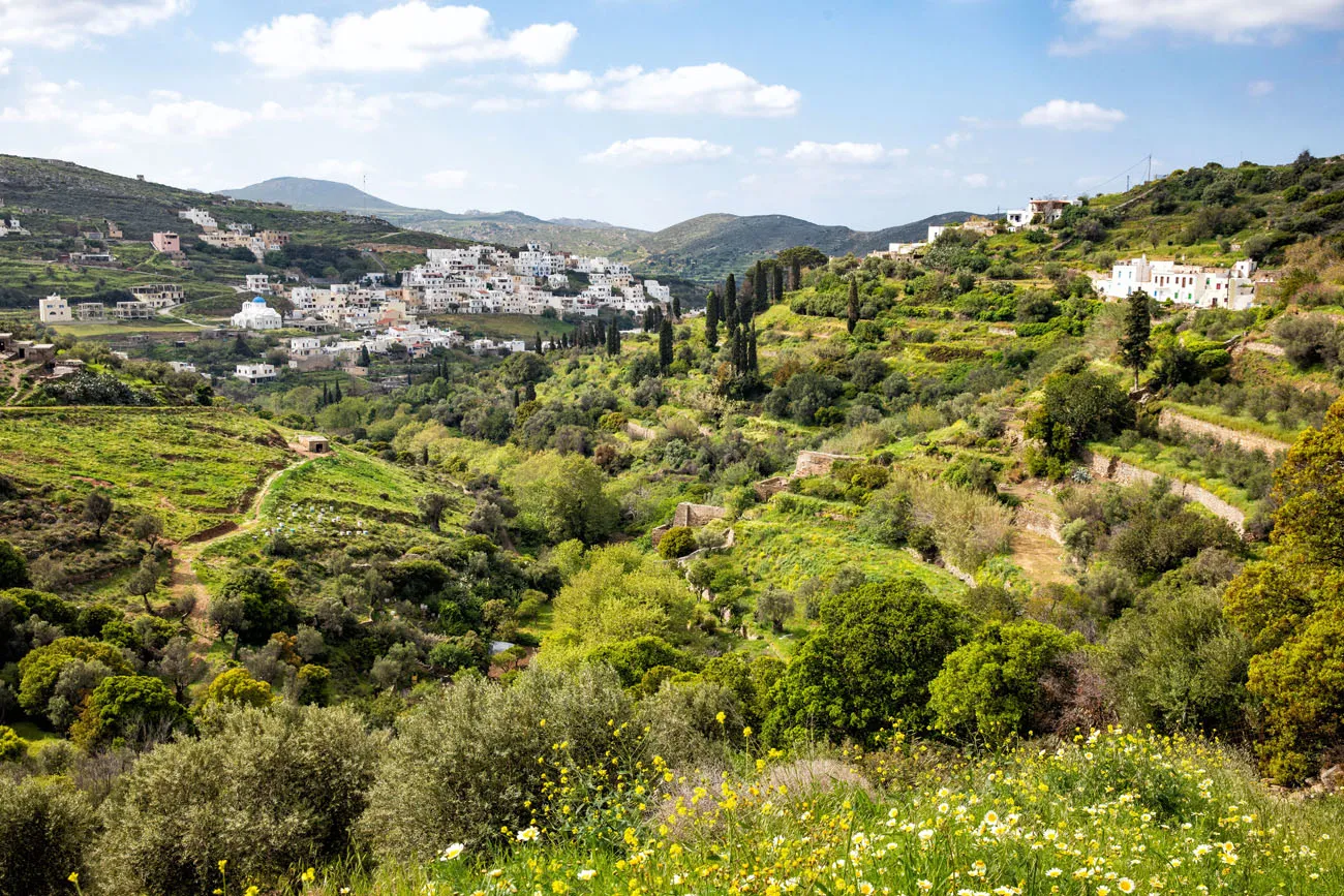
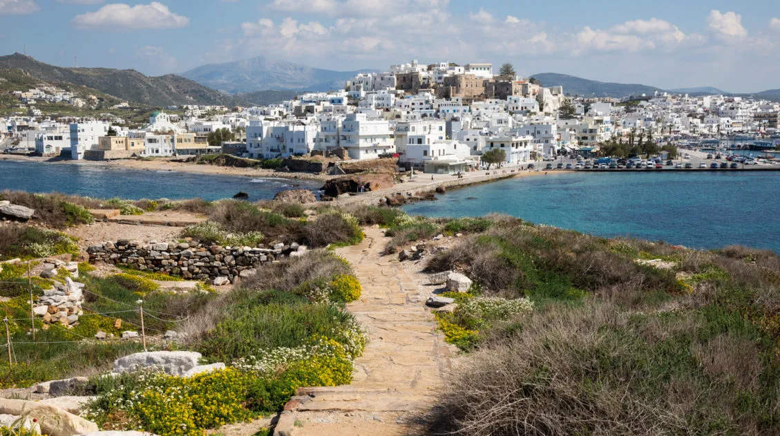
The center of Naxos is mountainous and dotted with small, picturesque villages. It is a beautiful area and it looks remotely different from the landscapes we saw on Mykonos and Santorini. Naxos is green, forested, idyllic, and much quieter than the other islands.
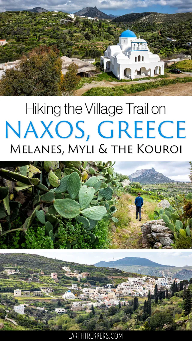
If you are looking for a very nice, easy walk that takes you through several villages and to one historical site, this is perfect for you. Start and end in the town of Melanes, walk on ancient marble paths, visit the Kouroi of Flerio, and enjoy the views along the way. This wonderful walk only takes a few hours of your time and it is a great way to explore this part of Naxos.
Walking the Naxos Village Trail
Quick Facts about the Walk
For most of the time you will be on marble walking paths and dirt roads. Occasionally, you will walk on dirt trails and through grassy fields. A pair of good walking shoes is ideal but I did this walk in a pair of sandals.
Distance: 6.1 km (3.8 miles) loop
Total Ascent: 300 meters (1000 feet)
Difficulty: Easy
Length of Time: 2 to 3 hours
Getting Here
This walk starts and ends in Melanes. From Naxos City, it takes 15 minutes to drive here. There is a very small parking lot in town (GPS coordinates: 37°05’26.9″N 25°26’14.7″E) and this is where we parked. Parking here is free.
This parking lot is located on the top of the hill in Melanes. The trail starts at the bottom of town. It’s a downhill walk to get to the trailhead (GPS coordinates: 37°5’24.473″ N 25°26’20.771″ E).
Getting to the trailhead can be a little tricky. The roads in Melanes are unnamed and staircases connect the roads as they switchback through the town. You can wander through town until you get down to the lowest road or walk along the roads from the parking lot to the trailhead as I marked them on this map.
Map of Melanes, Myli, and the Kouroi. The route from Melanes to Myli and the detour to Flerio Kouros is not included on the route because Google does not yet have the data for these two walking trails. However, we have lots of photos from these trails so you know what to expect.
How to Use This Map: Click the tab in the top left corner of the map to see a list of the points of interest and to turn layers on/off. Click the icons on the map to get more information about each point of interest.
To take this map with you, click the star next to the title of the map which adds it to your Google account. Next, within your Google Maps app, select ‘Saved’ and then select ‘Maps’. This map title will now appear in your list.
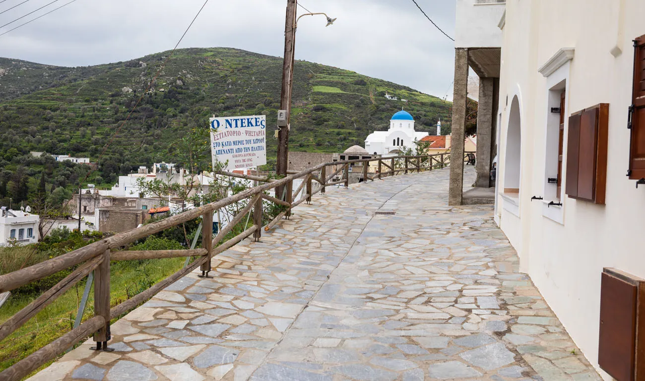
Walking through Melanes
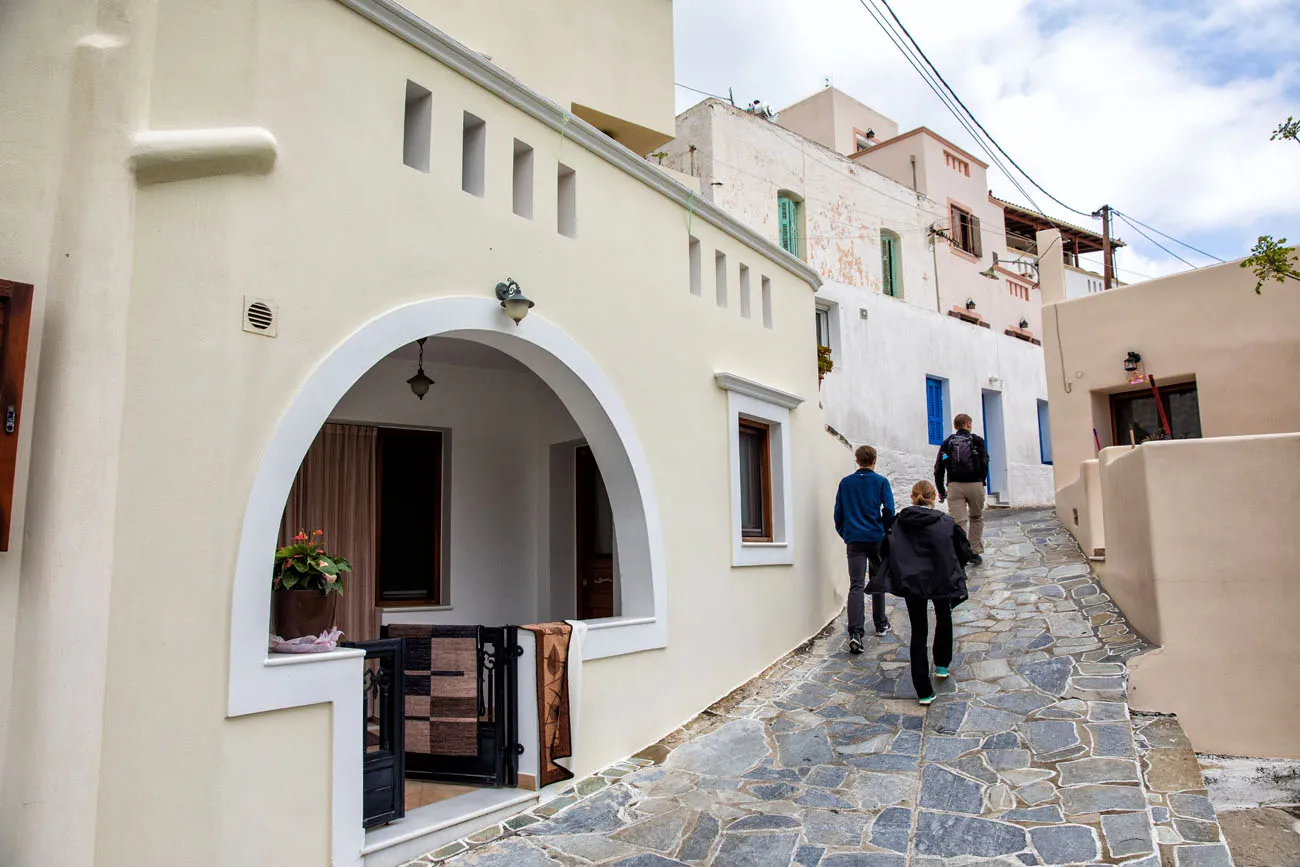
In Melanes
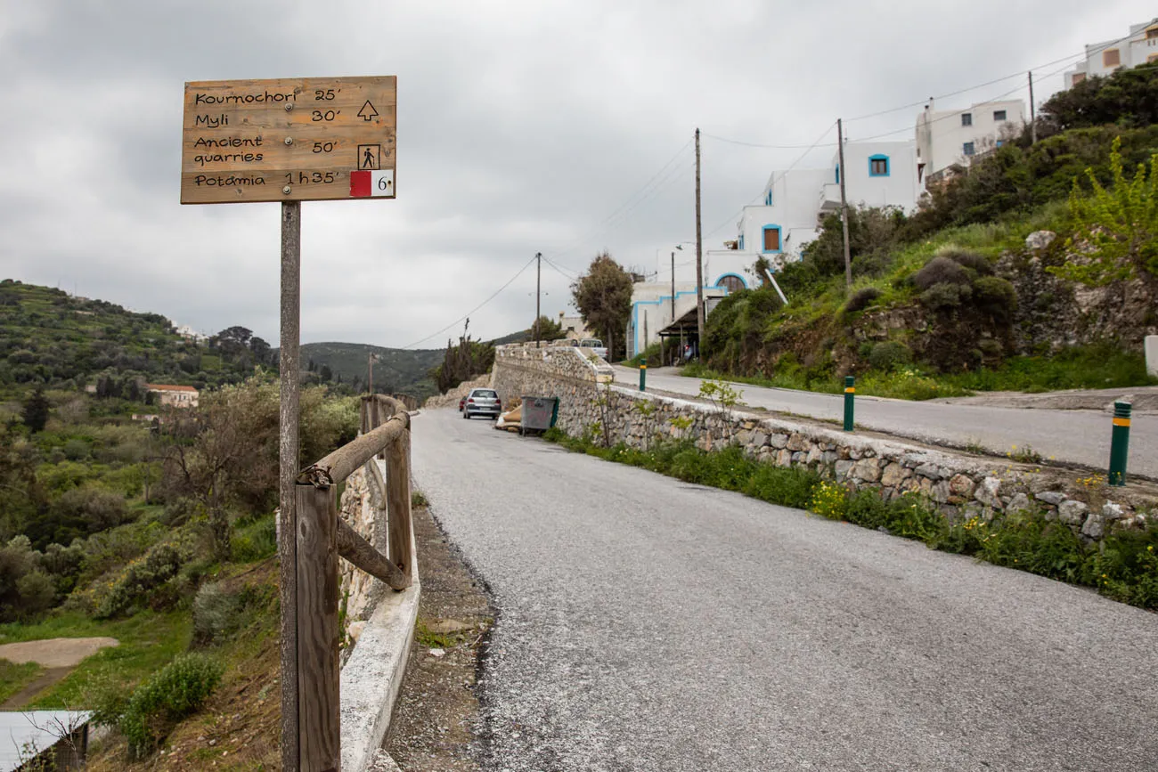
Trail marker on the edge of town. To get to the trailhead, continue on this lower road until you get to the trail marker in the next photo.
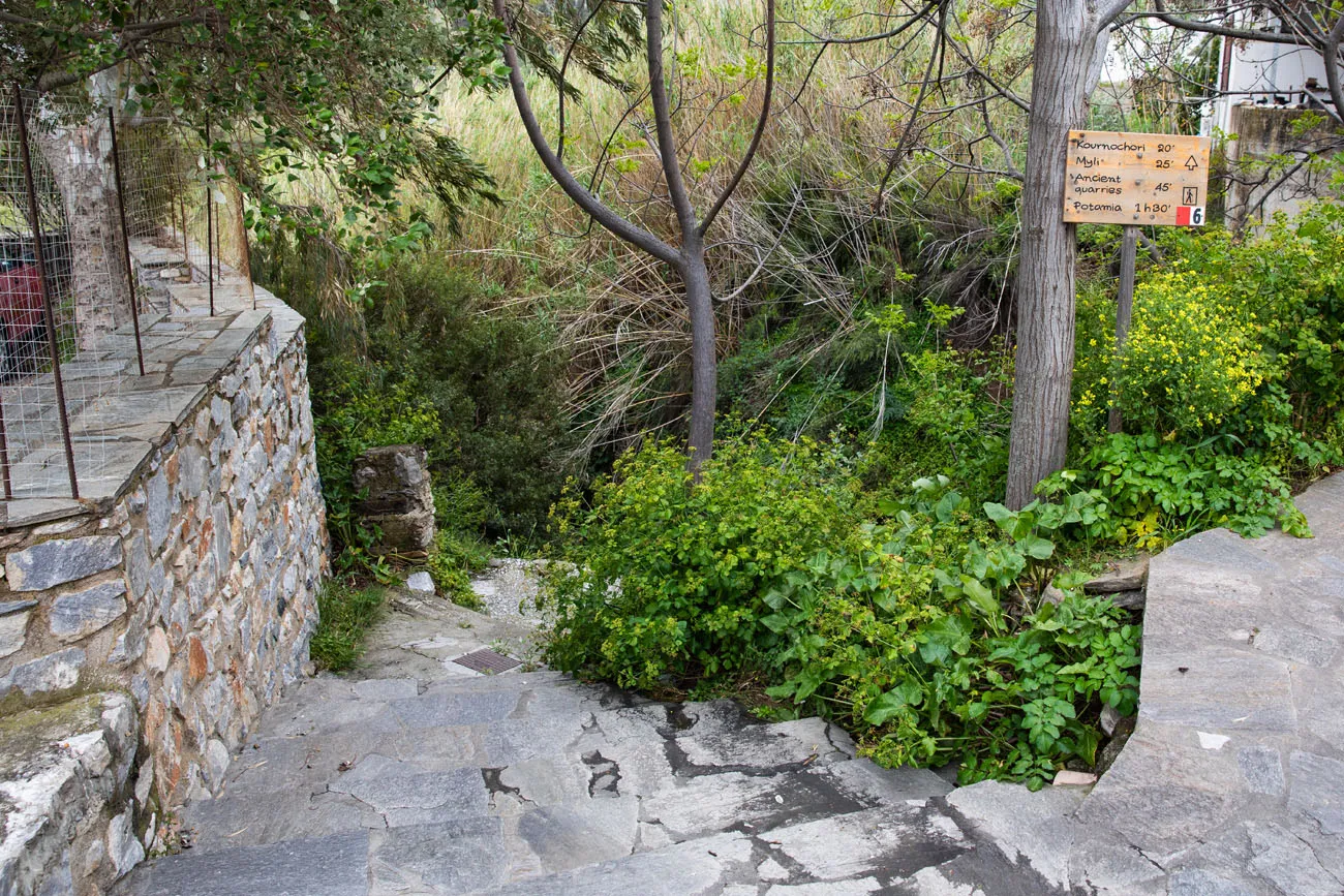
Start of the trail in Melanes
Walking to Myli
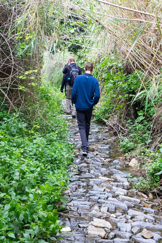
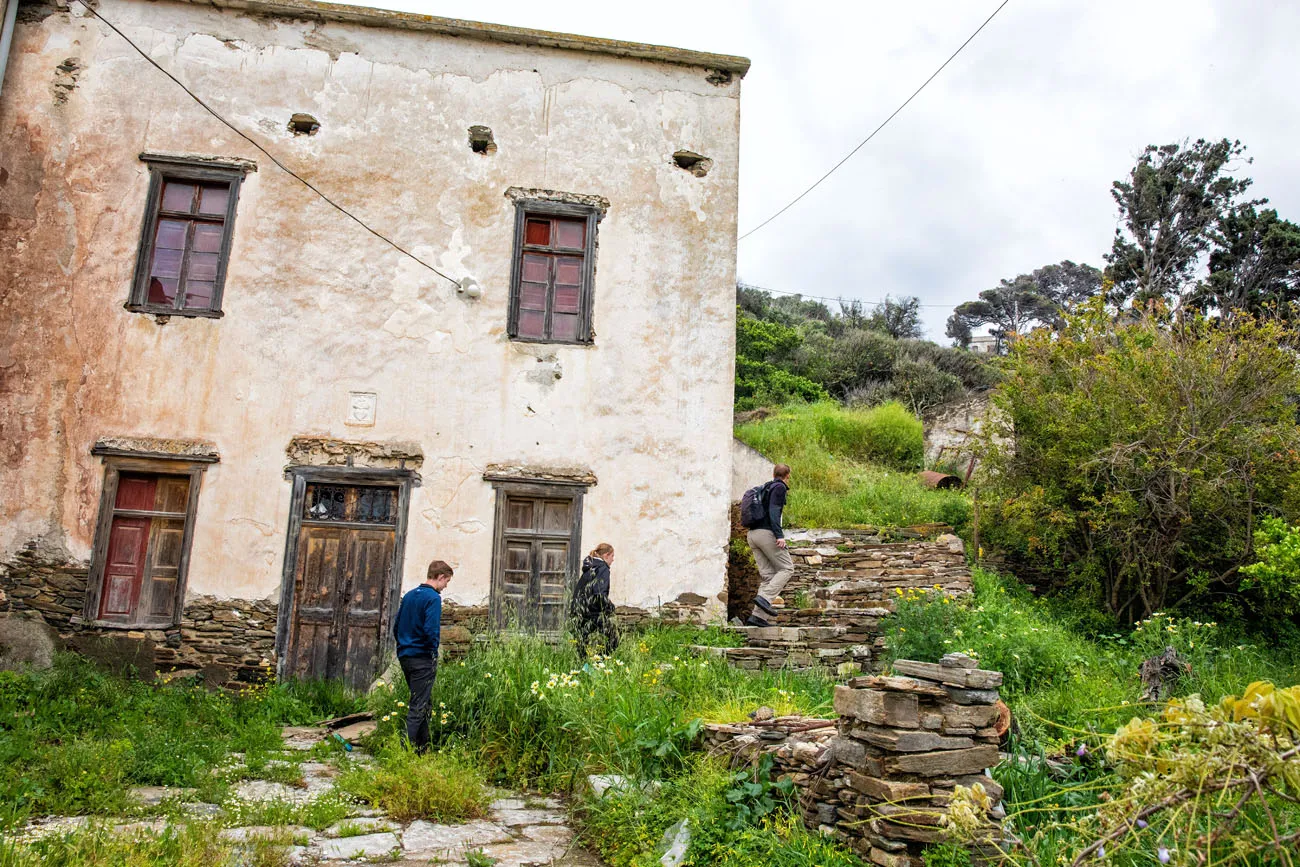
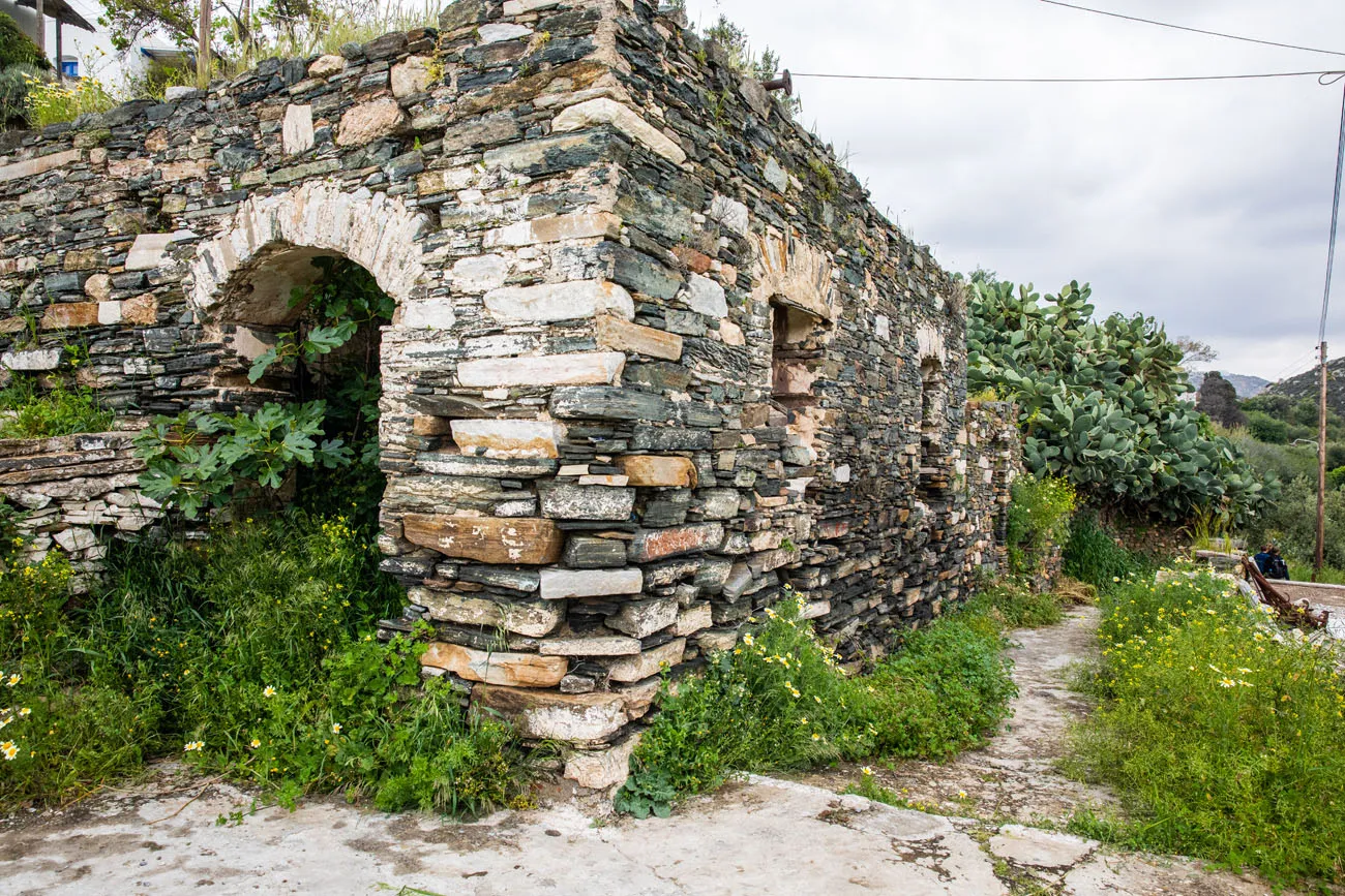
From the trailhead, continue the walk downhill on the stone path. You will walk through a dense grove of bamboo, past old stone walls and the small yards and farms of the people who live here, and past old, crumbling buildings.
The path changes from an easy-to-follow stone path to faint, dirt trails that wander through fields of wildflowers and grassy fields. At several spots, a faint trail will break off from the “main” trail. These forks in the trail are unmarked, which had us questioning which way to go. We always stayed on the more distinct trail and this got us to Myli. If you take one of these detours, it might lead you to Kourounochori, another town that can be included in the villages walk.
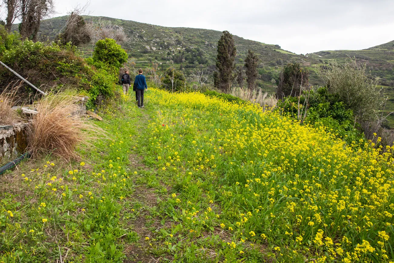
The trail can be very faint in some spots.
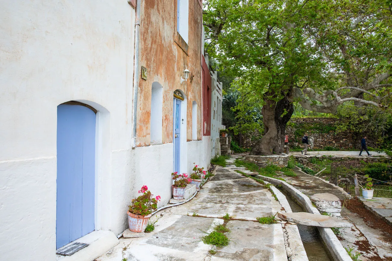
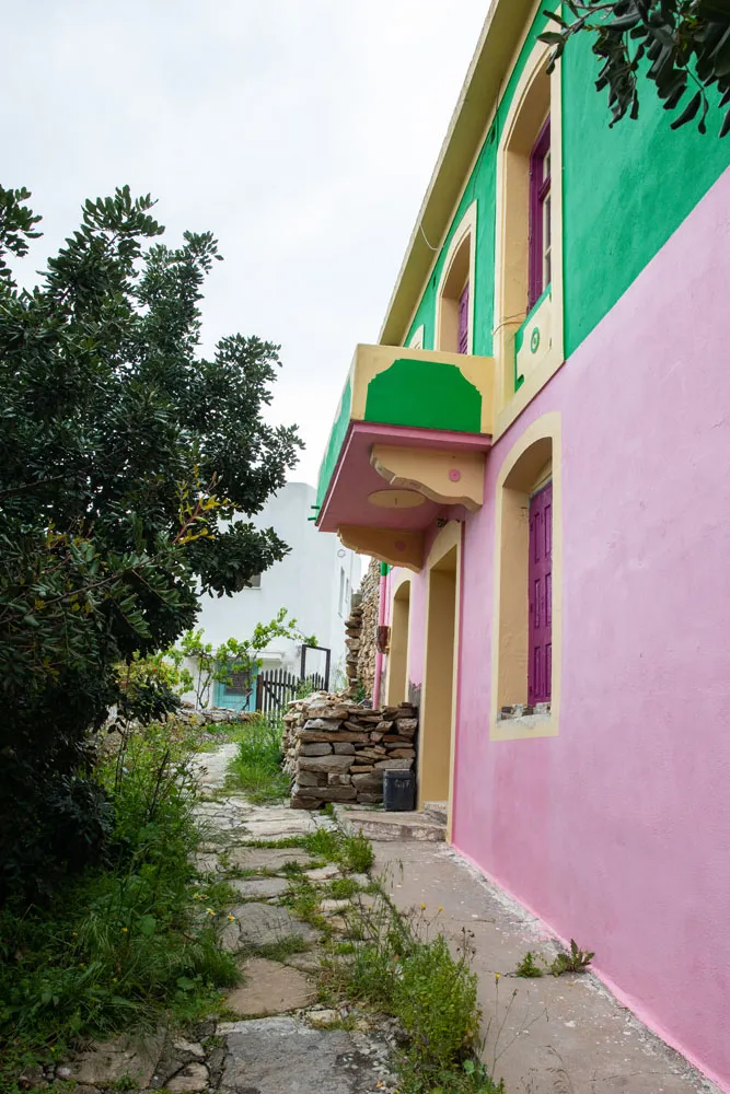
When you reach this pink and green building you made it to Myli.
Once in Myli, I made a quick detour into the town but didn’t see much that was interesting. Feel free to detour if you are curious…it won’t take long because Myli is tiny!
Myli to the Kouroi
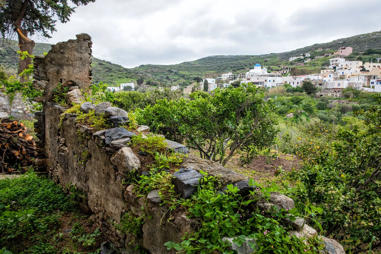
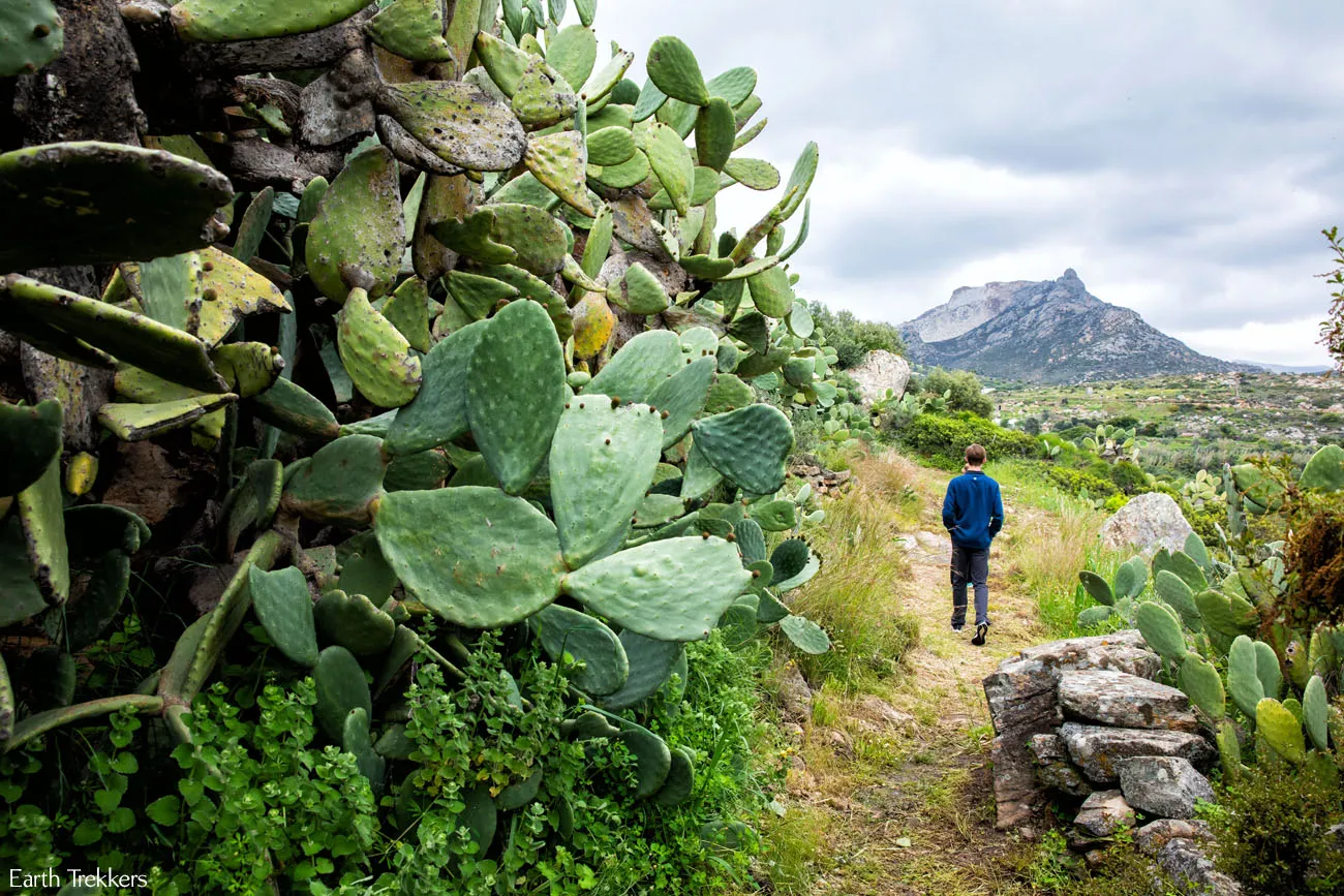
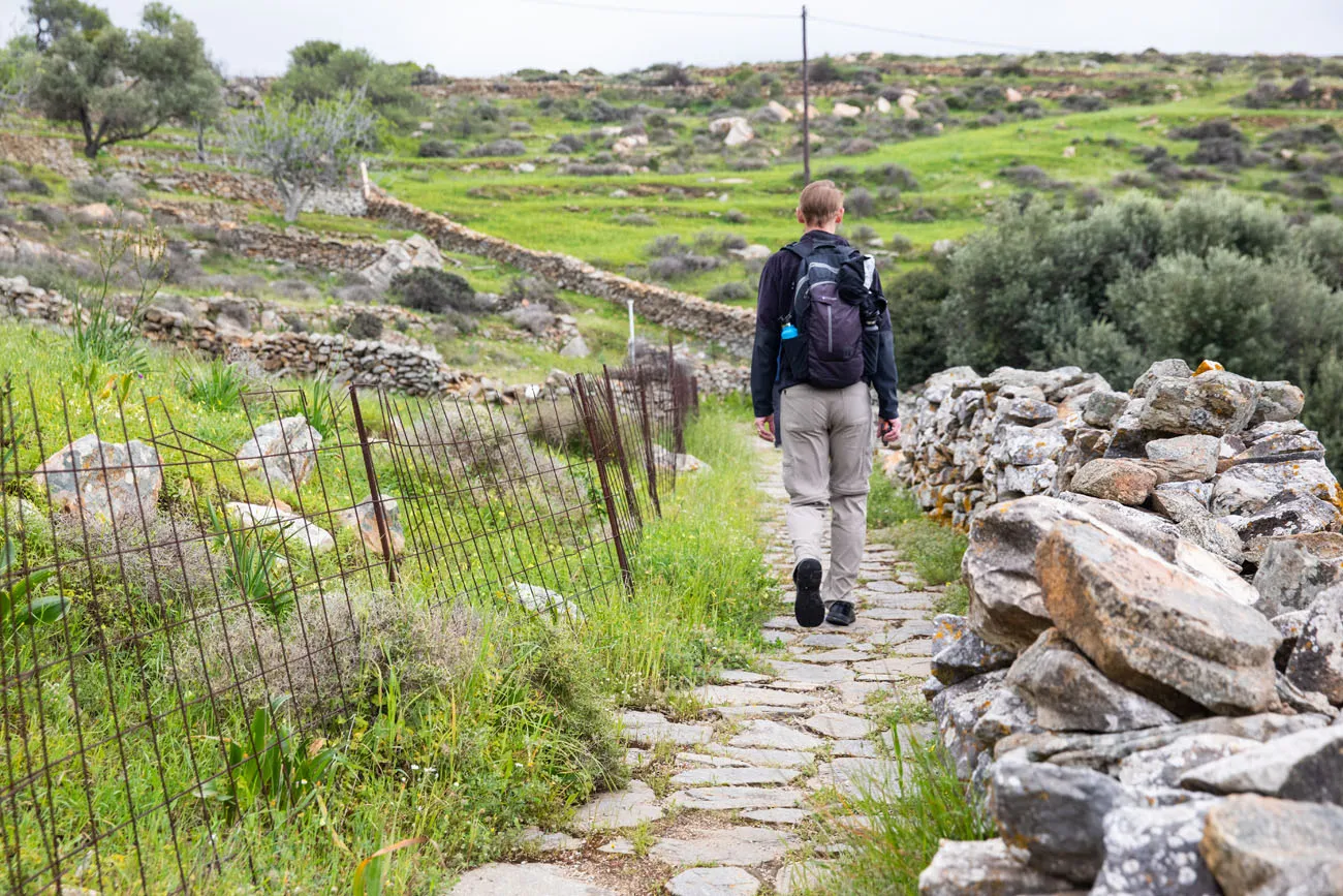
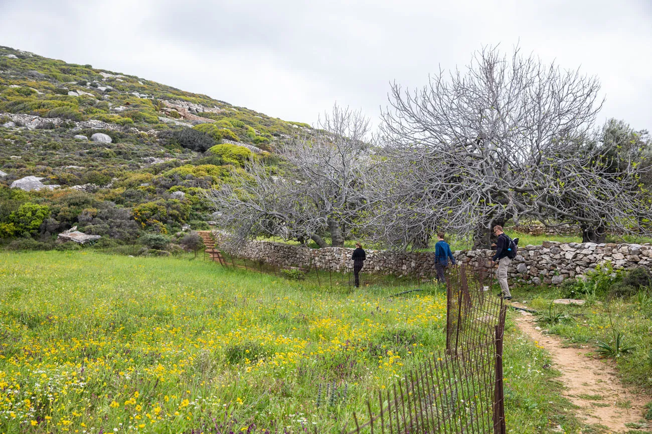
Once past Myli, the views open up a little bit more. You trade the forests and bamboo for olive groves, giant clusters of cacti, and views of the rolling hills.
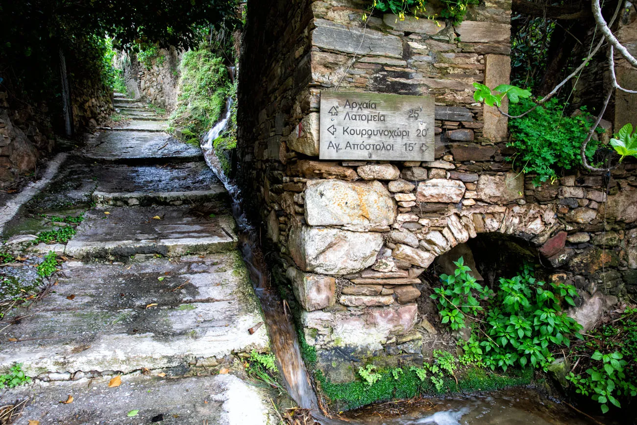
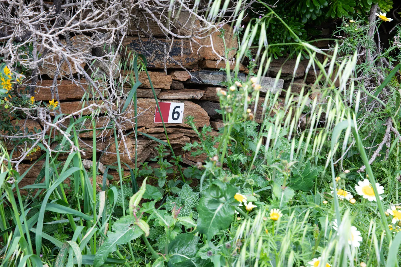
The path is much easier to follow here. For most of the time, you are on a stone path and you walk along stone walls. Occasionally, a sign labeled “6” marks the trail.
The Kouroi
The trail ends at a small parking lot. This is the lot where people park to visit the Kouroi, if they are not touring the area on their own two feet. Follow the signs to Kouros.
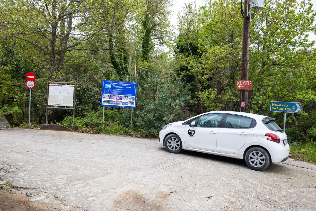
At first, you will walk on a wide, concrete road. Take a right turn and follow the signs to Kouros of Flerio.
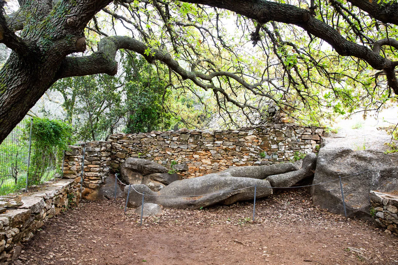
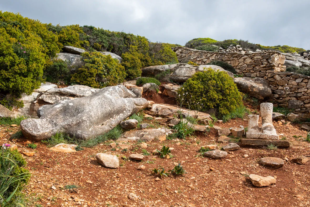
In this area of Naxos, craftsmen in the 6th and 7th centuries BC quarried rock and sculpted statues. The statue that is lying on the ground here dates back to 570 BC.
Walk back to the wide concrete path and turn right to continue to the second statue. Near the end of the path, you will turn right to walk on a dirt path. The path is very easy to follow and ends roughly 200 meters later at the second statue. It’s easier to spot the two feet than the giant statue lying on the ground, since it blends in with the surrounding rock.
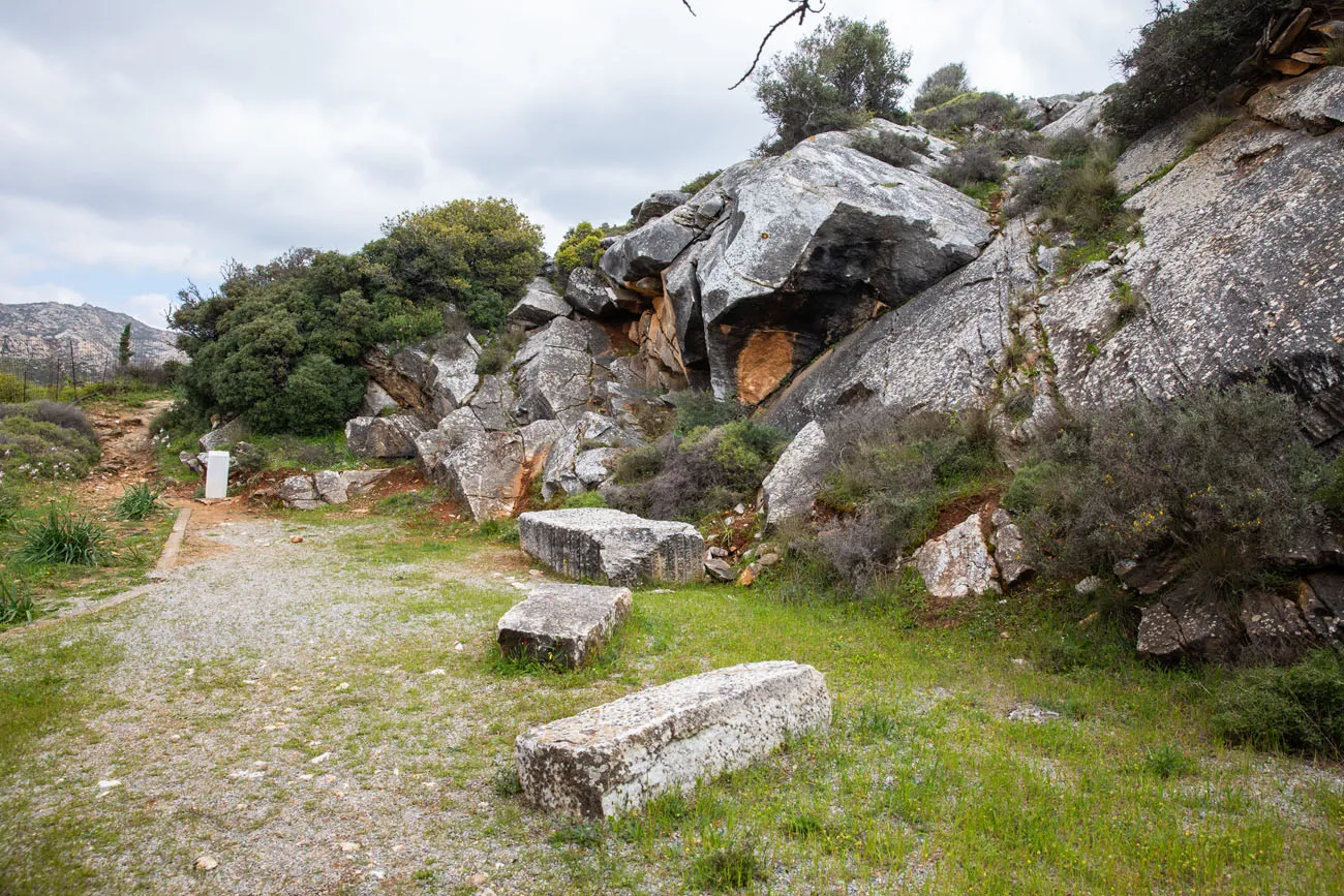
The second Kouros
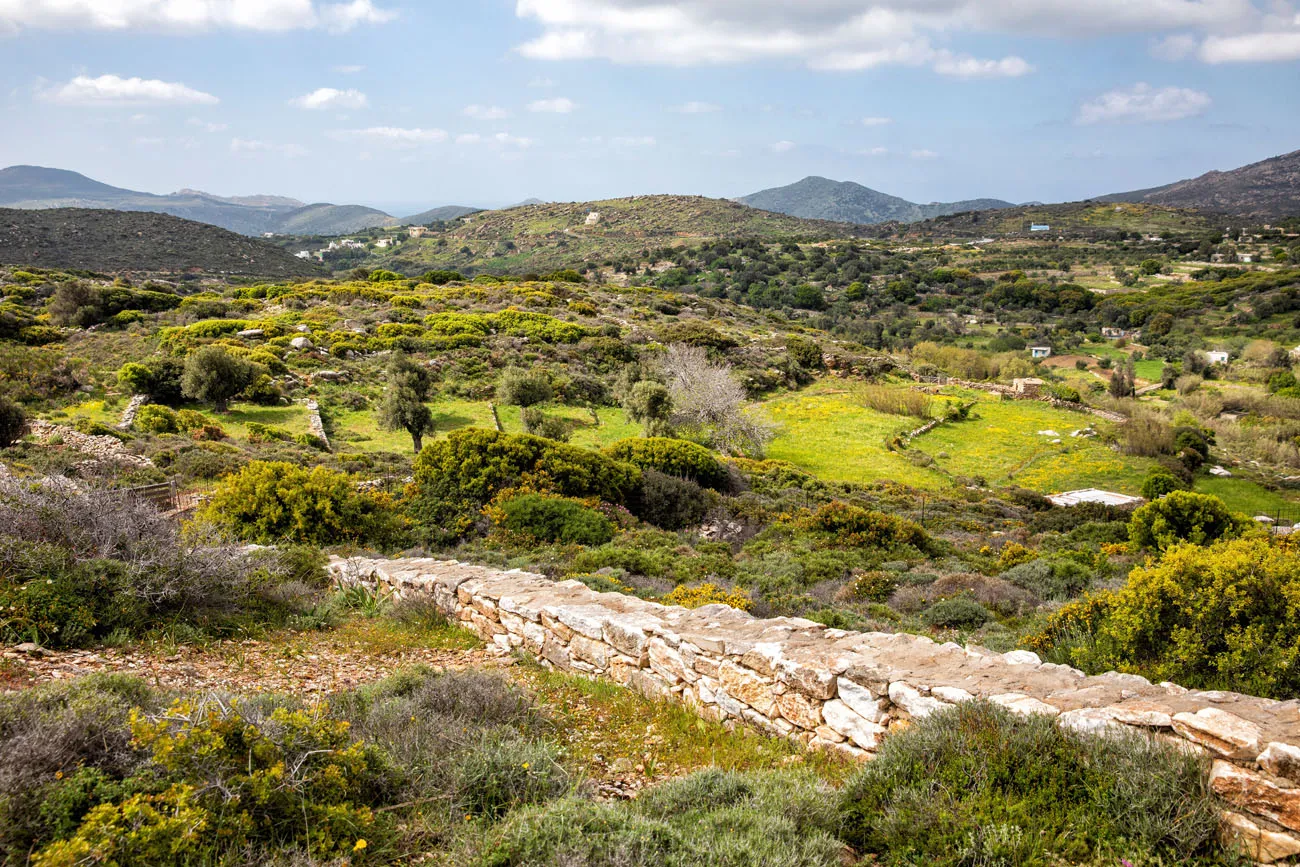
The view from the second Kouros.
Return to the parking lot.
Return to Melanes
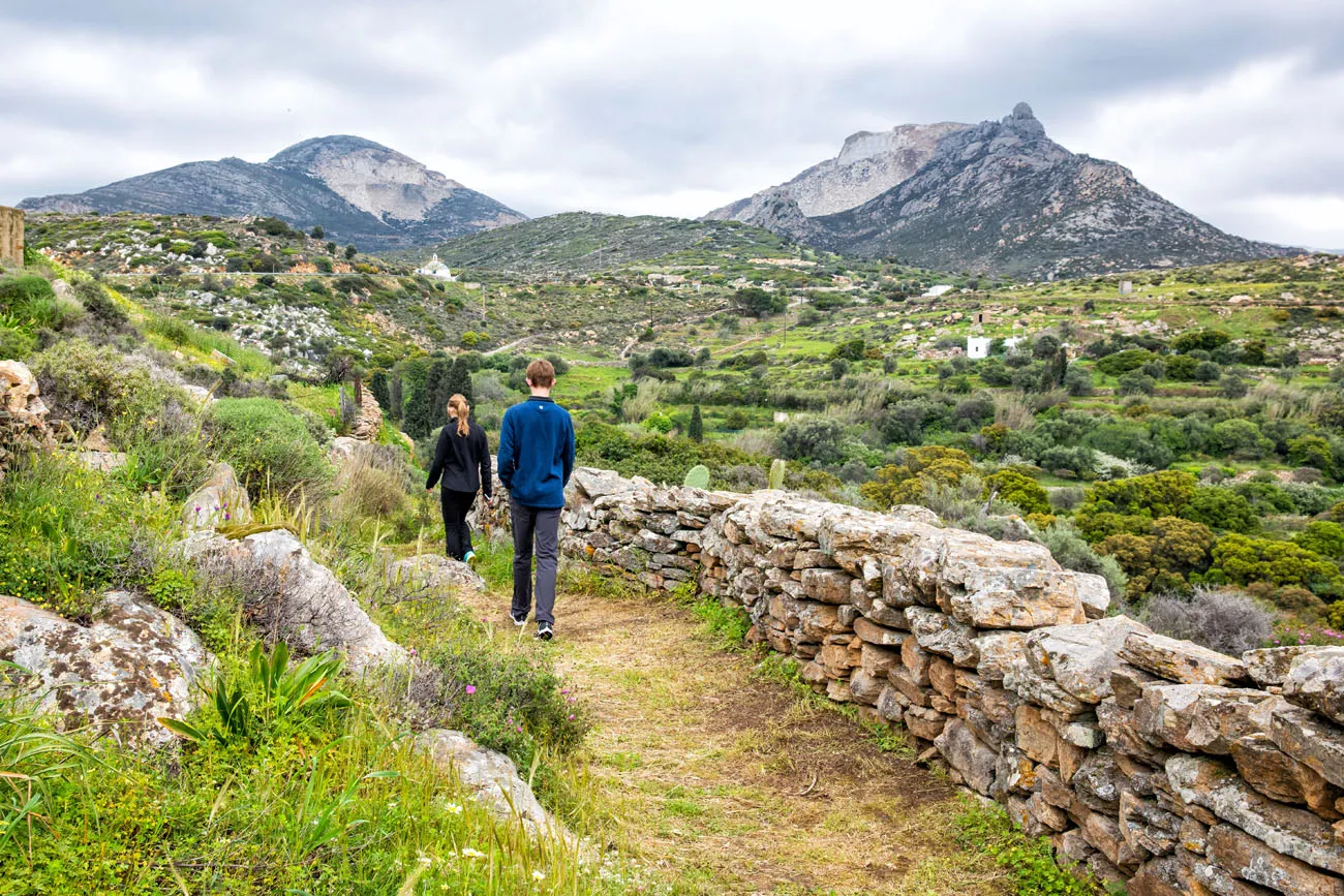
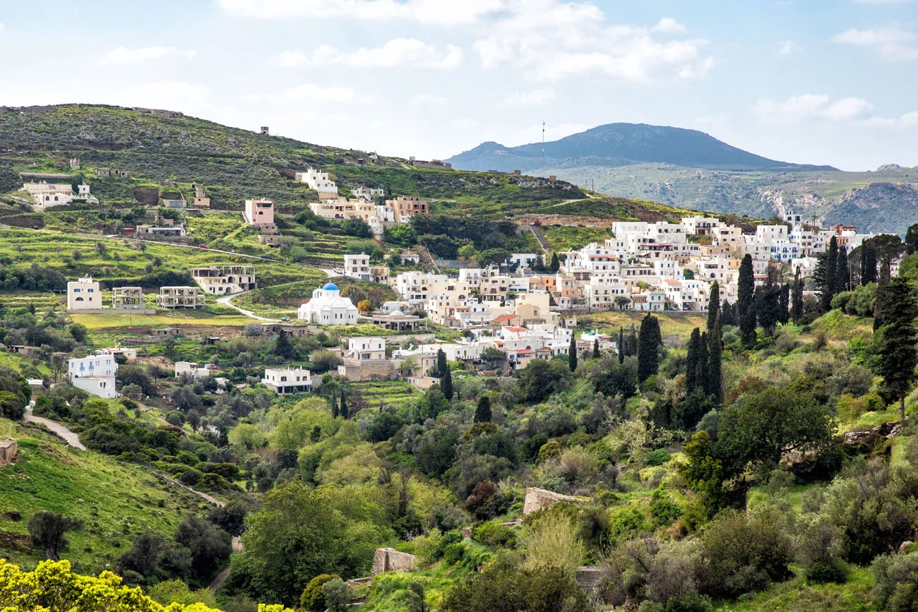
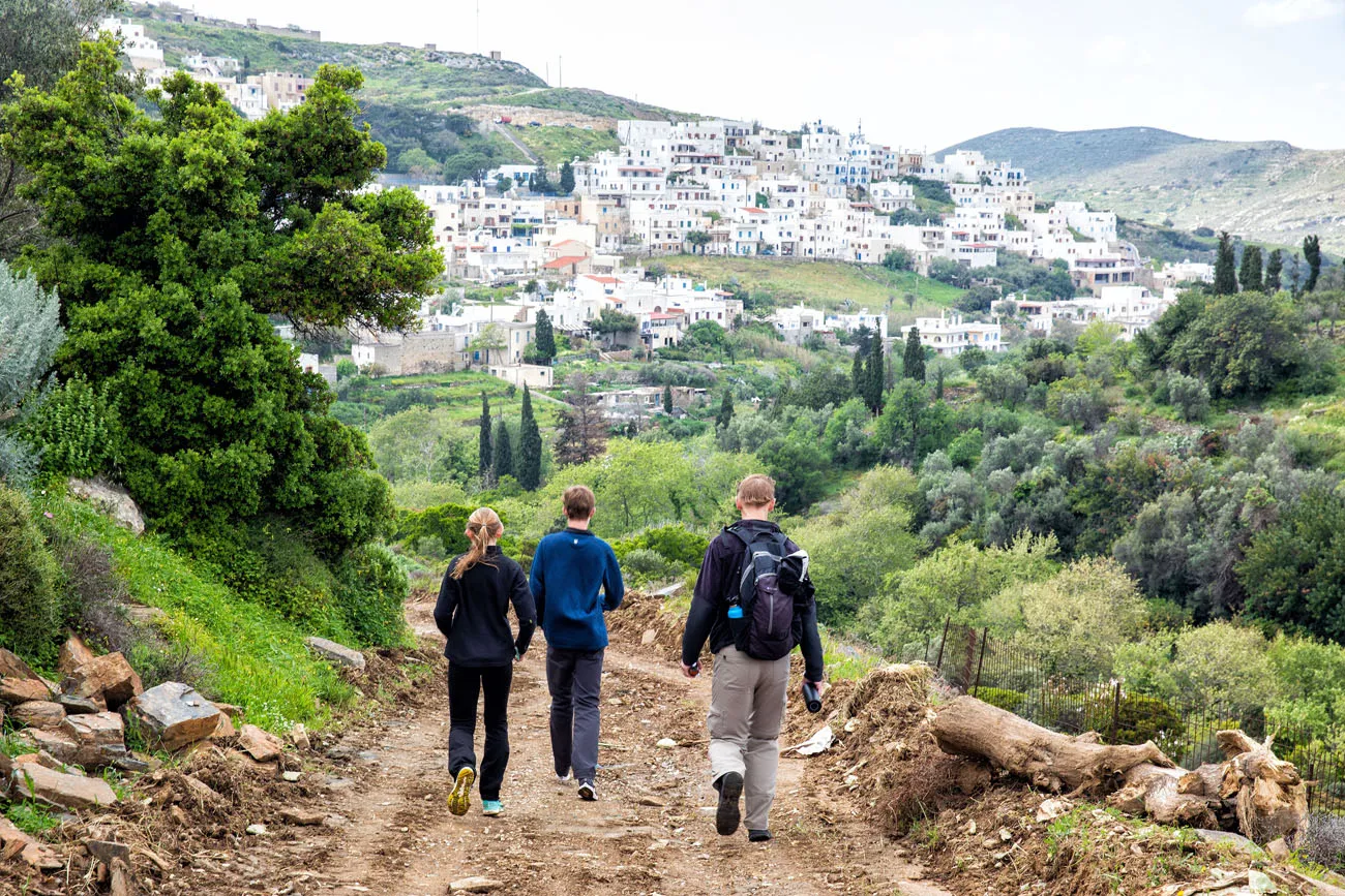
Once at the parking lot, follow the signs for Melanes. This final leg of the walk is on a rocky, dirt road. It’s a very nice walk and the best part is the view across the rolling hills and the view of Myli and Melanes.
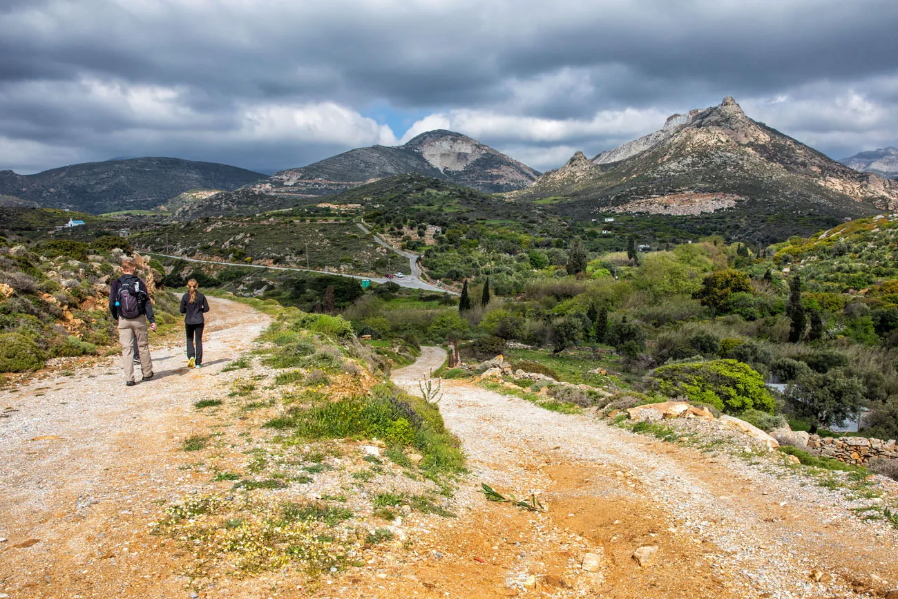
Melanes is the small village in the distance.
Melanes
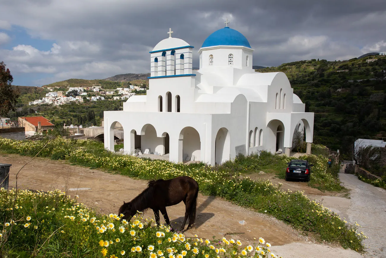
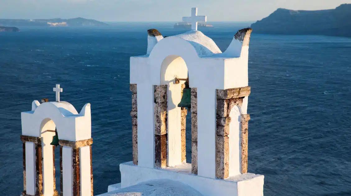
Blue dome church and a horse on the loose in Melanes.
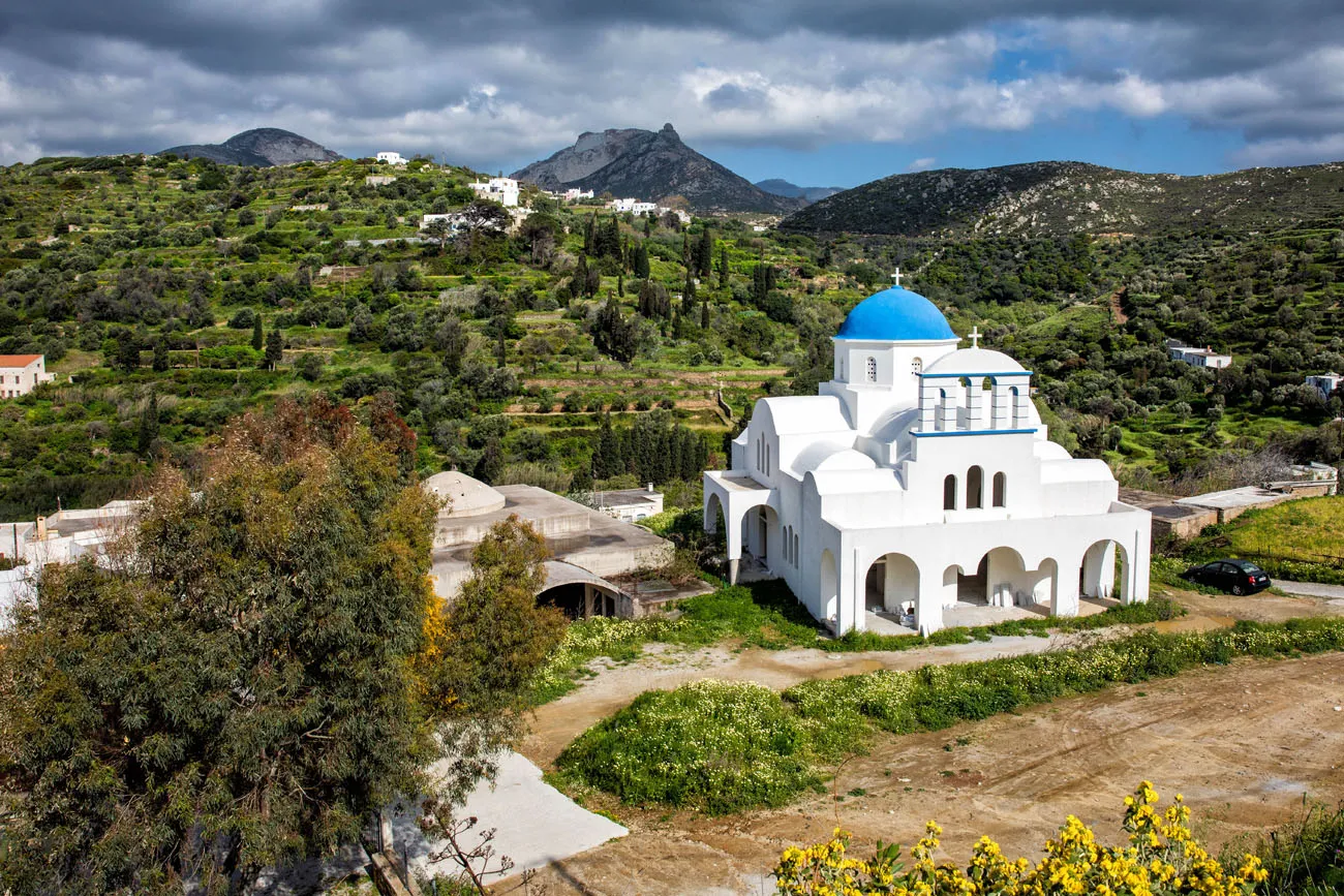
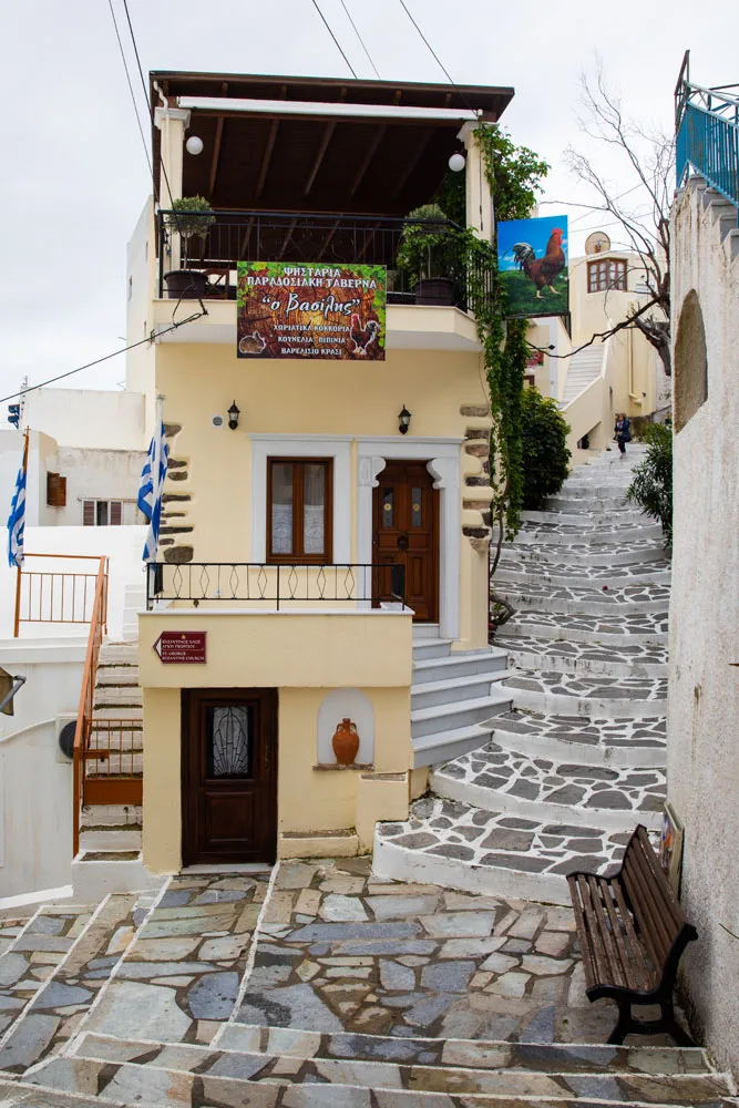
Restaurant Recommendation: O Vasilis is a great traditional Greek restaurant in Melanes. We ate lunch here before starting the walk.
Have More Time?
The walk I just described is part of a bigger loop through the area. You can also walk to Ano Potamia and Kato Potamia before returning to Melanes. Since we did not do this, I do not know how difficult it is to follow the trail between these towns.
We ended up driving to Ano Potamia and then hiking to Apano Kastro, the ruins of an ancient castle. It was wonderful, maybe even better than this walk through the villages.
If you like the idea of doing this hike, or something longer, and prefer to have a guide, check out NaxosHiking.com.
When We Did This
We did this walk in mid-April. It was a very windy day and temperatures hovered around 15°C (60°F). We saw one other group of people on the trail and several families at the Kouros.
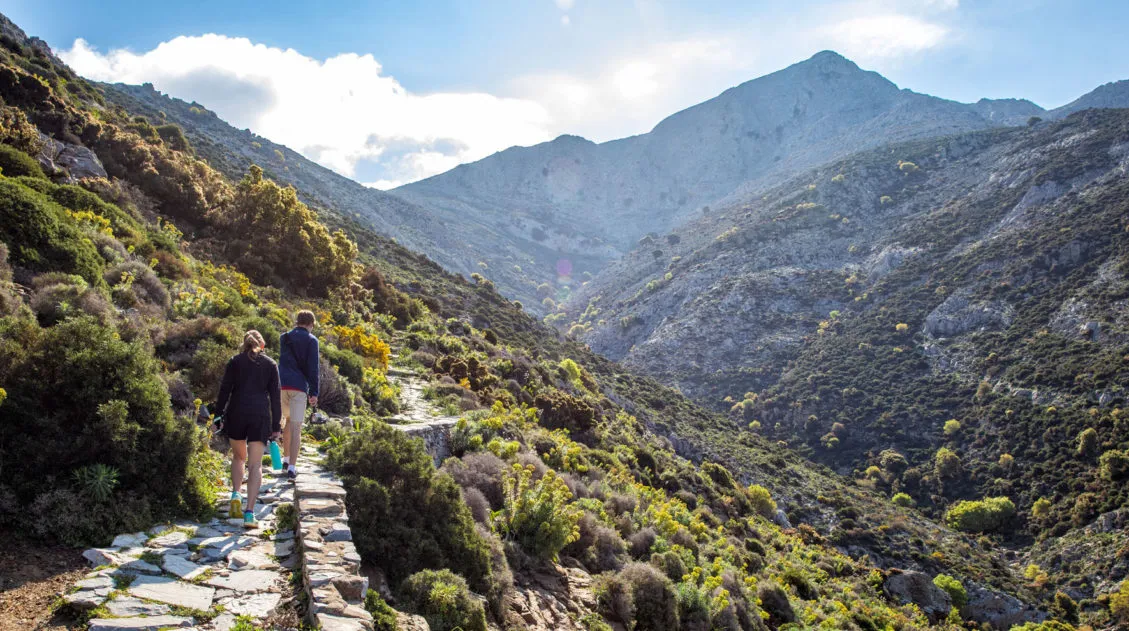
Hiking on Naxos
A hike not to be missed on Naxos is the hike to Mount Zas (Mount Zeus). This is a true hike with a hefty amount of elevation gain on rocky trails. Along the way, visit the cave where Zeus was raised. Once at the top of Mount Zas, enjoy the view and get bragging rights that you hiked to the highest point in the Cyclades.
Are you planning a visit to Naxos? If you have any questions about this walk or if you want to share your experience, comment below!
Plan Your Trip to Greece
15 Wonderful Things to Do in Naxos, Greece
Pinterest Facebook Flipboard Naxos is the largest and greenest island in the Cyclades. Lounge on the white, sandy beaches, visit ancient temples, hike to the summit of Mount Zas, go windsurfing, and explore the charming villages…these all make the list of the best things to do in Naxos. On our trip to Greece, we hopped […]
Hiking Mount Zas on the Island of Naxos
There are two reasons to hike Mount Zas…to stand on the highest point in the Cyclades and to summit the mountain where Zeus was born and raised. According to Greek mythology, Mount Zas, also called Mount Zeus, is the place where Zeus spent his childhood. Tucked away on the slopes of the mountain is a […]
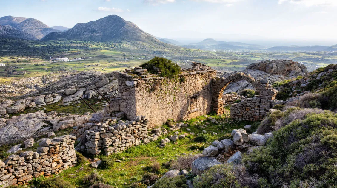
How to Hike to Apano Kastro in Naxos, Greece
Hiking to Apano Kastro was our favorite “unexpected” surprise in Naxos. This is a wonderful short hike to the ruins of ancient Venetian citadel. Explore the ancient ruins and get one of the best views over the island of Naxos. When researching things to do on Naxos, photos of Apano Kastro caught my eye. However, […]
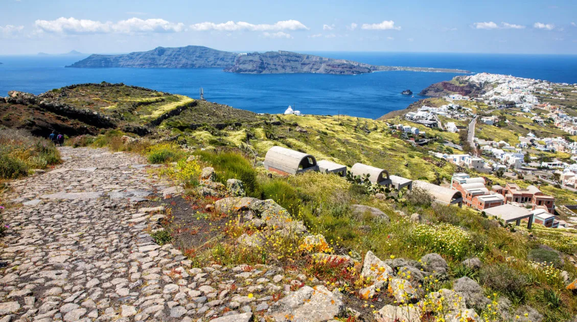
Exactly How to Hike from Fira to Oia on Santorini
Walking from Fira to Oia is one of Santorini’s top experiences. Hike along the rim of a caldera, explore the towns of Oia, Imerovigli, Firostefani, and Fira, and enjoy some of the most beautiful views of the islands. If you go the entire distance, you will walk just over 10 km (about 6 miles). The […]
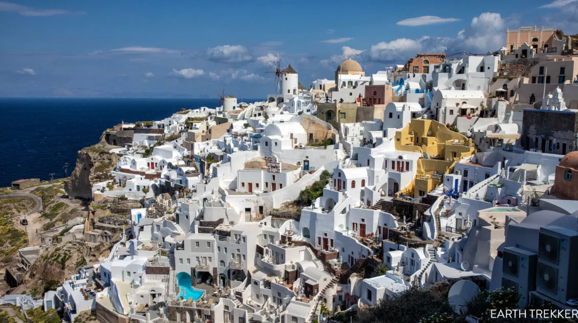
20 Amazing Things to Do in Santorini, Greece
Discover the best things to do in Santorini, Greece. Lounge on its colorful beaches, take a boat tour of the caldera, watch the sunset in Oia, walk from Fira to Oia, and explore its villages and archaeological sites. Plan on spending 2 to 3 days in Santorini. Santorini is a windswept, volcanic island in the […]
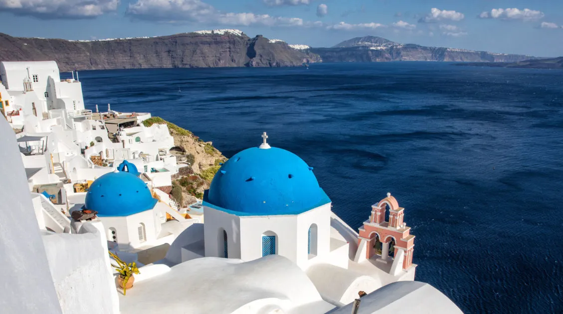
Santorini Itinerary: How to Spend 1, 2, or 3 Days in Santorini
Santorini is a popular destination on many traveler’s wish lists, for good reason. The beaches, the photogenic villages, and the breathtaking sunsets in Oia attract a lot of visitors to this tiny island. If you are planning your Santorini itinerary, we have some suggestions for you. Whether you have 1, 2, or 3 days in […]
Greece Travel Tips: Things to Know Before You Go to Greece
Planning a trip to Greece can be very exciting. This country offers a wonderful mix of ancient, historical sites, breathtaking scenery, and of course, those amazing Greek islands. While you are in the planning phase, there are some things you should know before you go. Here are our Greece travel tips, tips to help you […]

Greece Travel Guide: How to Plan a Trip to Greece
Greece Travel Guide Greece is the home of ancient ruins, volcanic islands, incredible beaches, and beautiful sunsets. Come to visit the Acropolis, see the sun set over Santorini’s whitewashed buildings, and hike to the summit where Zeus was born! Greece is a perfect destination whether you prefer to spend your time exploring Greece’s historic cities, […]
2 Days in Athens: The Perfect Itinerary (+ 2026 Rules)
With this 2 day Athens itinerary, explore ancient Greek and Roman ruins, enjoy the view from a rooftop restaurant, go shopping, get a history lesson at one of several world-class museums, and of course, visit the amazing Acropolis. This itinerary strikes a nice balance between visiting Athen’s historical sites and immersing yourself in the culture […]
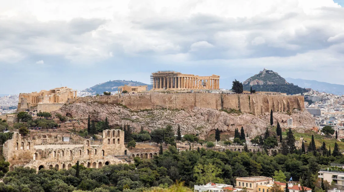
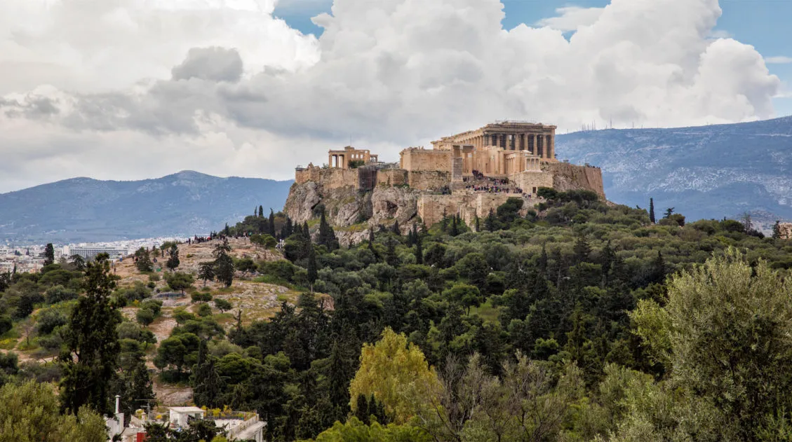
Best Views of Athens and the Acropolis: 9 Great Spots to Try
Rising up from the center of Athens is the Acropolis, a giant chunk of rock topped with the Parthenon and several other historical monuments. This is ancient, iconic Greece, the place where philosophers questioned the universe, democracy and freedom of speech were born, and temples were built to honor the gods. The Acropolis can be […]
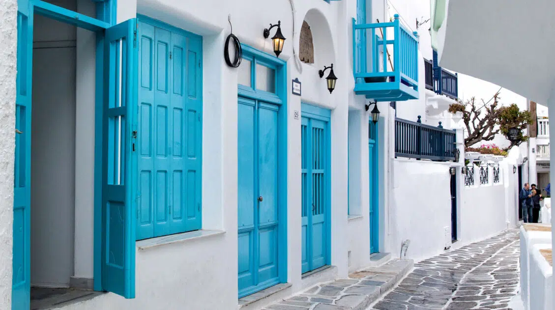
9 Great Things to Do in Mykonos, Greece
Mykonos is one of the most popular islands to visit in Greece. This island is famous for shopping, beach parties, and the very photogenic Mykonos town. Whether you visit Mykonos to party, to go shopping, or just to see what this island is all about, here are the best things to do in Mykonos, with […]

Where to Stay in Santorini – A Complete Guide for First Timers
If you are making a decision about where to stay in Santorini, you have a lot of options. Do you want a villa with a private pool or hot tub? What about a room where you can have spectacular sunset views of the caldera? If you are traveling as a family or a small group, […]
Best Hikes in Europe: 25 Incredible Hikes for Every Level
From the dramatic cliffs of Norway to the jagged peaks of the Dolomites and the volcanic landscapes of Iceland, Europe is packed with some of the most unforgettable hikes in the world. In this guide, we share our favorite hikes in Europe, trails that stand out for their scenery, uniqueness, and overall experience from start […]

Comments 10