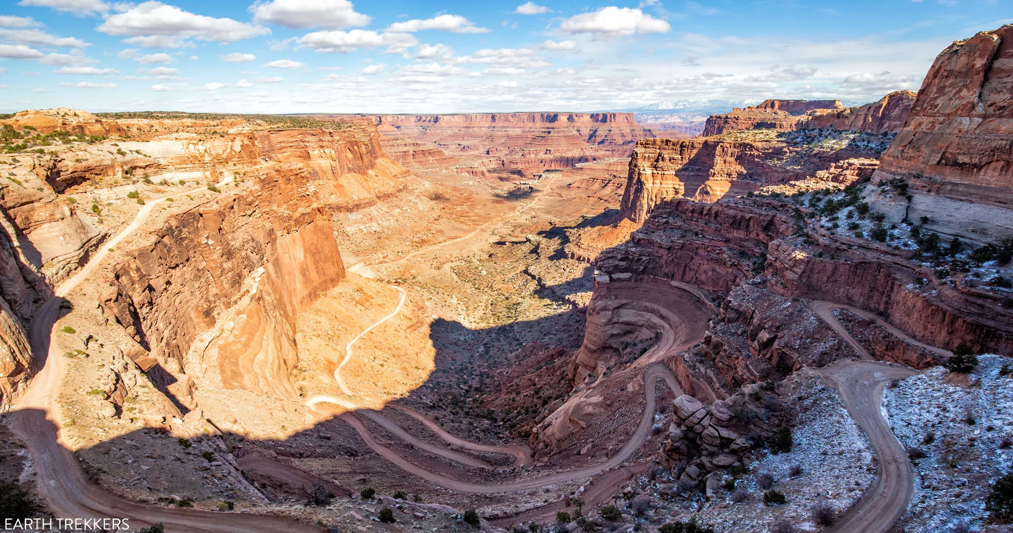
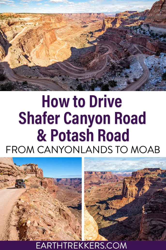
Have you seen photos of the Shafer Canyon switchbacks and said to yourself, wow, I’d really love to drive on that road? Do you like the idea of venturing away from the crowds and driving through some truly dramatic landscapes? Or, do you want to get a unique perspective of Canyonlands National Park and Dead Horse Point State Park that most visitors don’t even know is possible?
If you answered yes to any of these questions, then you will love driving Shafer Canyon Road and Potash Road.
Shafer Canyon Road and Potash Road are two dirt roads that connect Canyonlands National Park with Moab. On this route, you will drive the legendary Shafer Canyon switchbacks, pass below Dead Horse Point, get a close-up view of the Colorado River, and see a famous movie filming location, Thelma and Louise point.
We did this drive, adding it on to the spectacular White Rim Road. In this guide, we will share our experience, along with maps, photos, and essential information to help you plan your trip.
We’ve inspired other travelers to do this drive, like Cat, who left this comment: “I found your website while researching Canyonlands, and this page inspired me to do the drive on Shafer road to Moab after visiting the park. I came here to thank you for all the info. My Mom and I had an epic time on that drive, and that was her favorite part of our trip through Southern Utah. Thank you so much!”
Overview of the Route
How to Use This Map: Click the tab in the top left corner of the map to see a list of the points of interest and to turn layers on/off. Click the icons on the map to get more information about each point of interest.
To take this map with you, click the star next to the title of the map which adds it to your Google account. Next, within your Google Maps app, select ‘Saved’ and then select ‘Maps’. This map title will now appear in your list.
Driving Stats
Total Distance: 39 miles
Length of Time: 2 hours
This drive can be done in either direction. Most people start in Canyonlands and end in Moab. If you do the drive in this direction, it is a great way to end your visit to the Island in the Sky District.
Shafer Canyon Road starts near the visitor center of Canyonlands National Park. The first part of the drive, as you weave your way down the Shafer Canyon switchbacks, is the most hair-raising and thrilling part of the drive. Once you get below the rim, you will take Potash Road to Moab. This road circles under Dead Horse Point, along the Colorado River, and past the potash evaporation ponds. Once you get past the ponds, it is a paved road to Moab.
The entire drive, from Canyonlands National Park to Moab, is just under 40 miles. It takes roughly 2 hours to do this drive. It may take longer depending on how frequently you stop for photos.
17 miles of this road is unpaved. This is the stretch of road starting at the Shafer Canyon switchbacks and ending just past the Potash evaporation ponds. Once you reach Utah-279, the road is paved and feels delightfully smooth.
What Kind of Vehicle Do You Need?
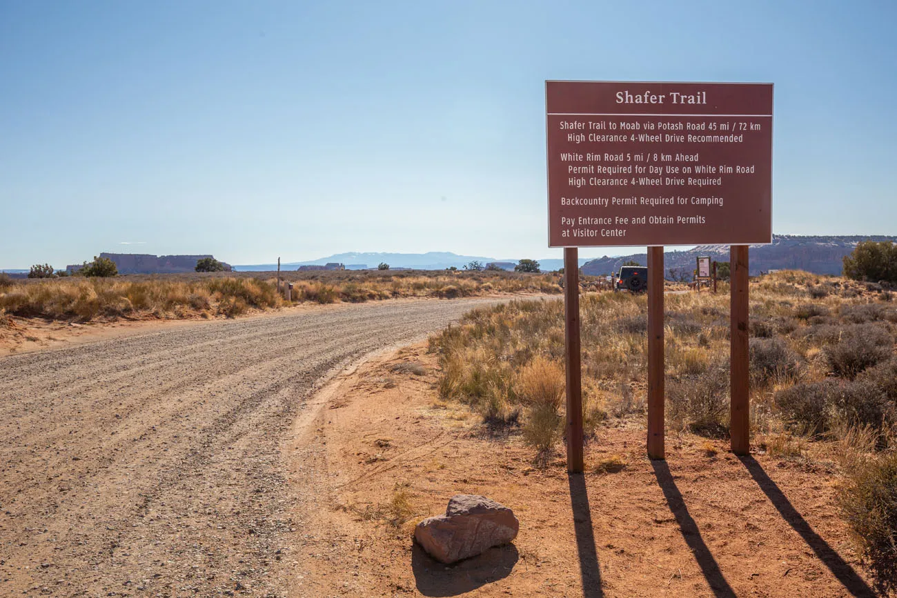
The National Park Service recommends that you drive a high-clearance 4WD vehicle on Shafer Canyon Road.
Shafer Canyon Road is a well-maintained gravel road. Most AWD SUV’s will do just fine on this road, as long as it is not wet or snow-covered.
A high-clearance vehicle with 4WD is also recommended for Potash Road. However, like Shafer Canyon Road, a high-clearance AWD SUV should be sufficient.
Potash Road is extremely rough. For sections of this road, the surface is a rough, worn slickrock and when you drive over it, your entire vehicle will vibrate and rattle like crazy. I would not want to drive my own vehicle on this road and put this kind of wear and tear on it. I recommend renting a vehicle for this drive.
In Moab, there are numerous companies that will rent 4WD vehicles. We used Canyonlands Jeep Rentals and had an awesome experience.
ATV’s and UTV’s are permitted on Potash Road but they are not allowed on National Park Service lands, so you cannot drive one of these vehicles on Shafer Canyon Road.
About Our Experience
This drive on Shafer Canyon Road and Potash Road was the grand finale to our two days on the White Rim Road.
We drove the White Rim Road in the counter-clockwise direction, starting on Mineral Bottom Road. On our first day, we covered 70 miles of the road, camping at the Airport Campground. On day 2, we finished the loop, ending with the drive up the Shafer Canyon switchbacks.
However, we were really interested in driving Potash Road back to Moab. So, we drove back down the switchbacks and took Potash Road to Moab.
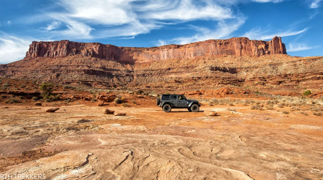
For this drive, we had a Jeep Rubicon that we rented from Jeep Canyonlands Rentals in Moab. Shafer Canyon Road and Potash Road are much wider and in much better condition than the White Rim Road. We never needed to put our vehicle in 4WD for these two roads. If you have a high-clearance SUV you should be fine for this drive, just as long as it is not wet or snow-covered.
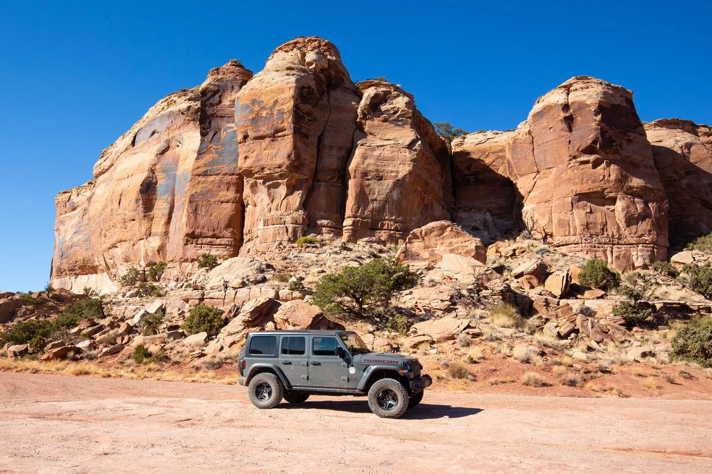
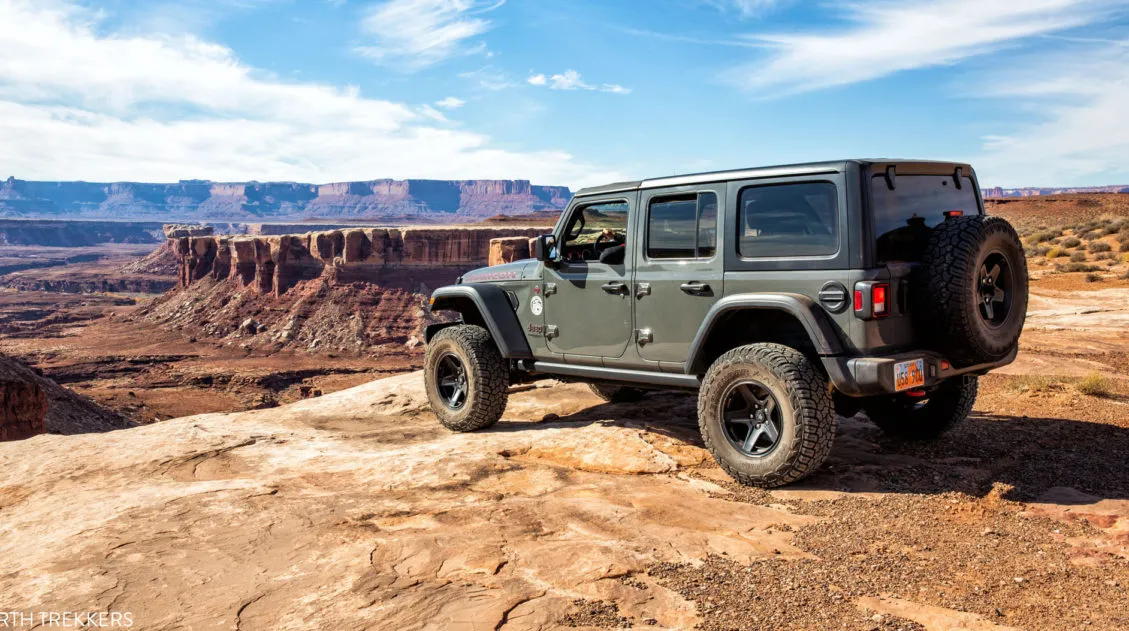
Our Jeep. This photo was taken at the top of Shafer Canyon Road, about one mile before starting down the Shafer Trail switchbacks.
Shafer Canyon Road and Potash Road: Driving Route
Here is the Shafer Canyon Road and Potash Road driving route in detail. This route starts in Canyonlands and ends in Moab.
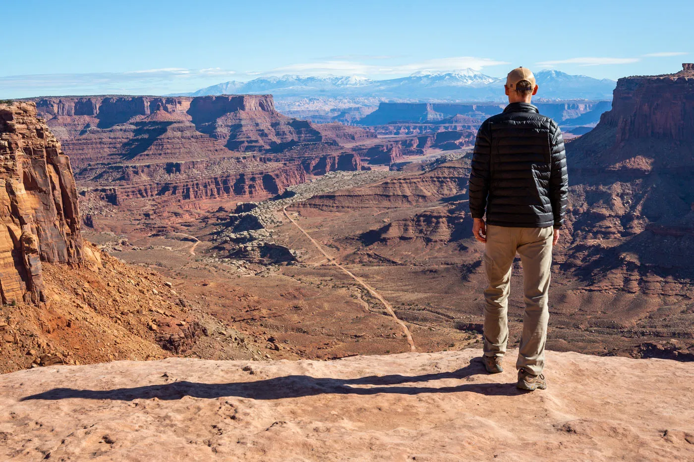
Start: Shafer Canyon Overlook
I recommend visiting the Shafer Canyon Overlook before starting your drive. From here, you look out over the Shafer Canyon switchbacks and Dead Horse Point State Park. The Shafer Trail Viewpoint, located a little farther down the road, is spectacular, too.
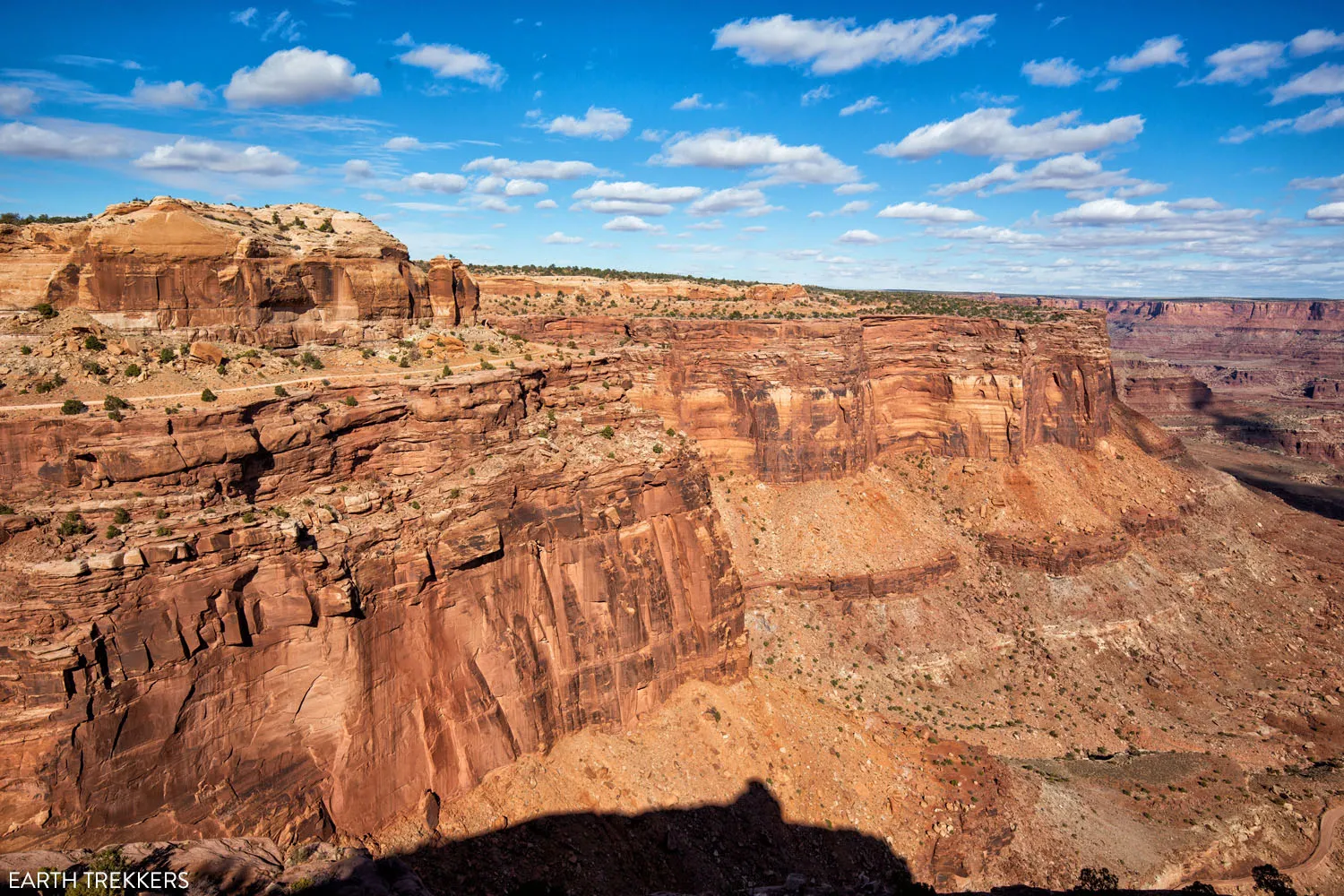
View from Shafer Canyon Overlook. You can see the first part of Shafer Canyon Road on top of the rim, just before the switchbacks.
View of the Shafer Canyon Switchbacks from Shafer Trail Viewpoint.
Shafer Trail or Shafer Canyon Road? Depending on the source, you will see this road referred to by two different names. “Shafer Trail” was originally used by Native Americans. In 1917, Sog Shafer widened the trail and used it to move cattle through the Island in the Sky area. The trail was later widened when prospectors began mining the area for uranium. Once the mining came to an end and tourism picked up, the road was further widened and maintained, and then became known as Shafer Canyon Road.
Shafer Canyon Road
Shafer Canyon Road starts one mile north of the Canyonlands Visitor Center on Island in the Sky Road. Turn right onto the gravel road.
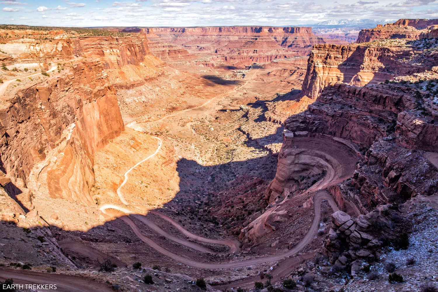
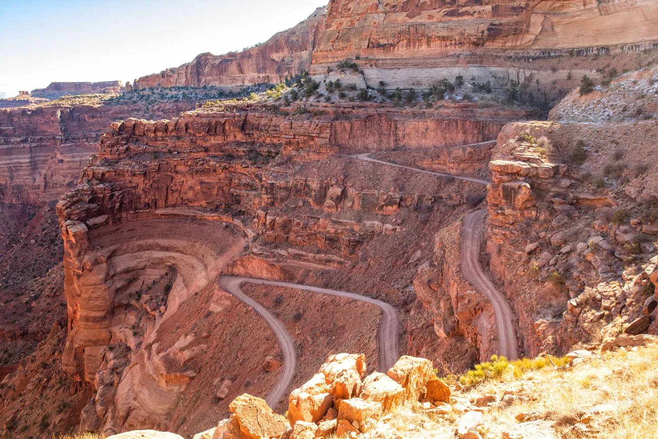
Shafer Canyon Switchbacks
Here it is. The most thrilling part of the drive.
I think that the Shafer Canyon switchbacks look a lot more dangerous from the viewpoints than when you are actually driving on them.
This part of the road is relatively smooth and very well maintained. It is also quite wide, at least compared to the White Rim Road. There are many places to pull over and allow oncoming traffic to pass.
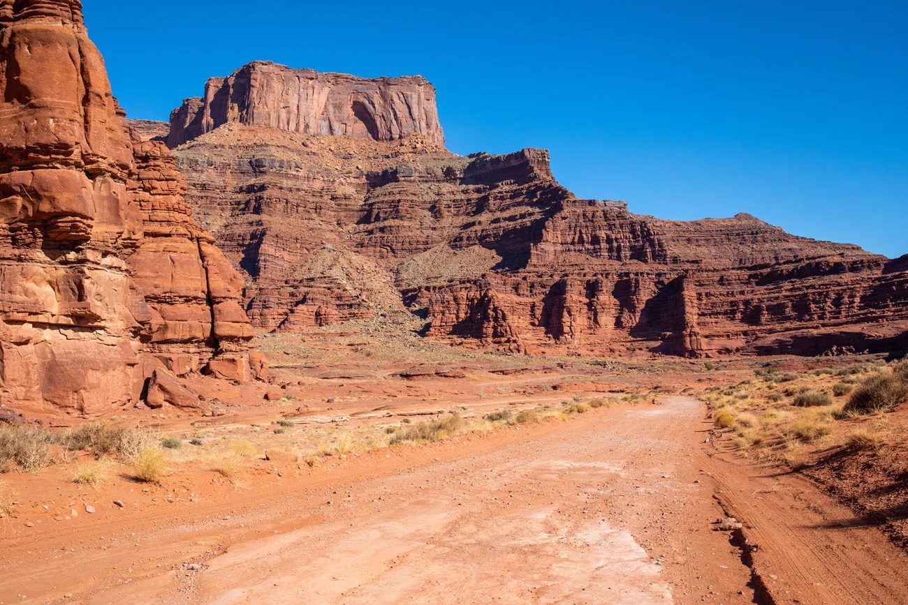
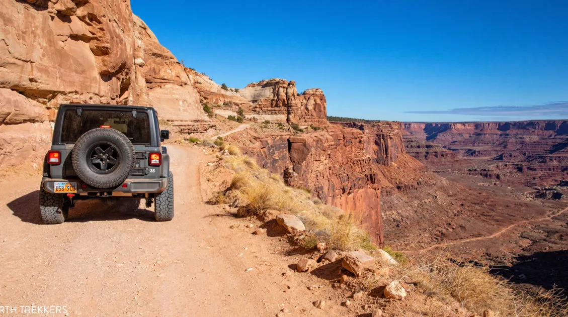
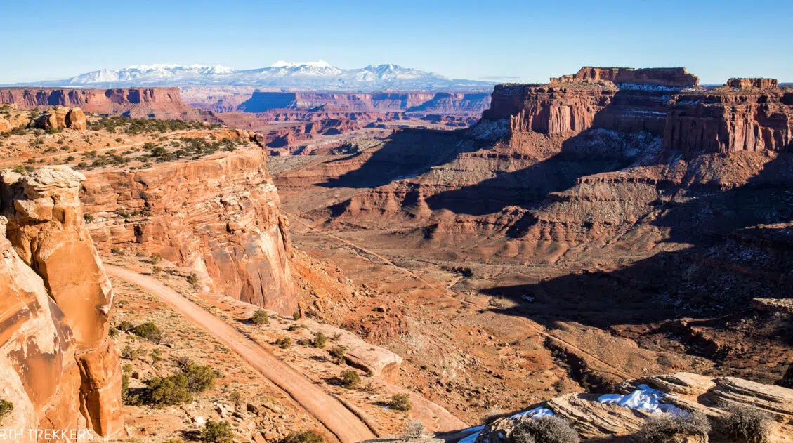
For the first 2.5 miles, you drive just below the rim. There are several viewpoints along this part of the road for jaw-dropping views. From here, you can see Shafer Canyon Road, the White Rim Road, Potash Road, and Dead Horse Point State Park.
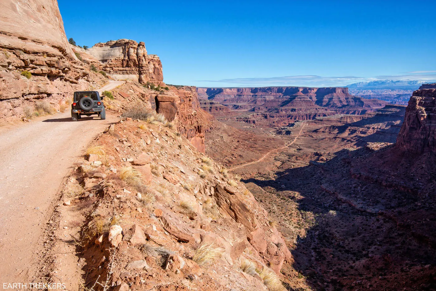
Shafer Canyon Road as it runs just under the rim.
First view of the Shafer Canyon switchbacks.
You will circle under Shafer Canyon Overlook (wave to the people taking your photos!) and then start the descent down the switchbacks. Take your time here and scan the road for oncoming cars. Cars driving uphill have the right of way. If you see an approaching car, pull over and allow them to pass.
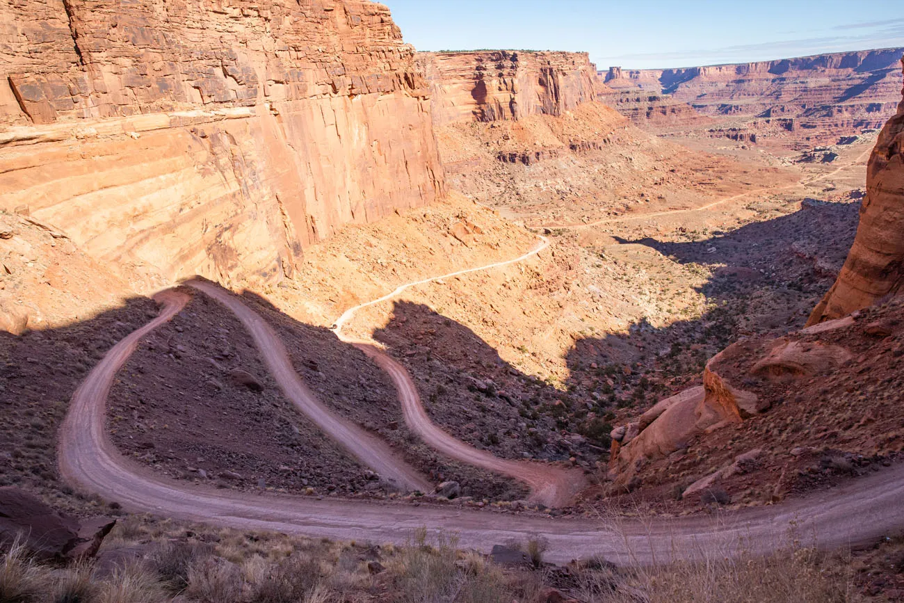
Once past the Shafer Canyon switchbacks, the road levels out. Now, you are below the rim but the views are still pretty awesome. For a cool view, turn around and look up at the rim. Even though you just did it, it is still somehow unbelievable that you just drove down that seemingly unsurmountable canyon wall.
View out towards Dead Horse Point State Park after the switchbacks.
The view back up Shafer Canyon and the rim of the Island in the Sky mesa.
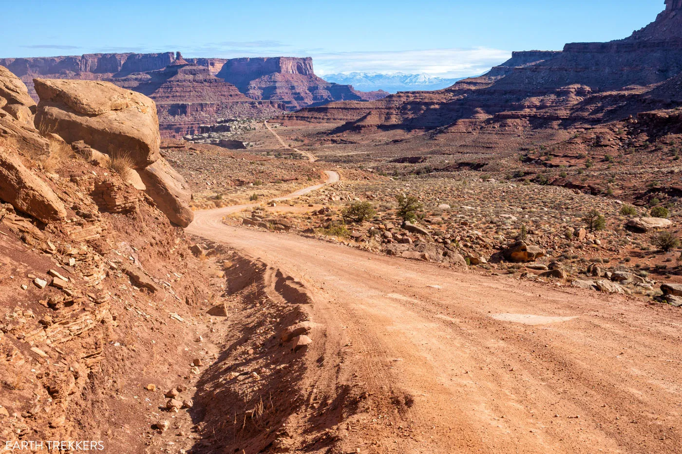
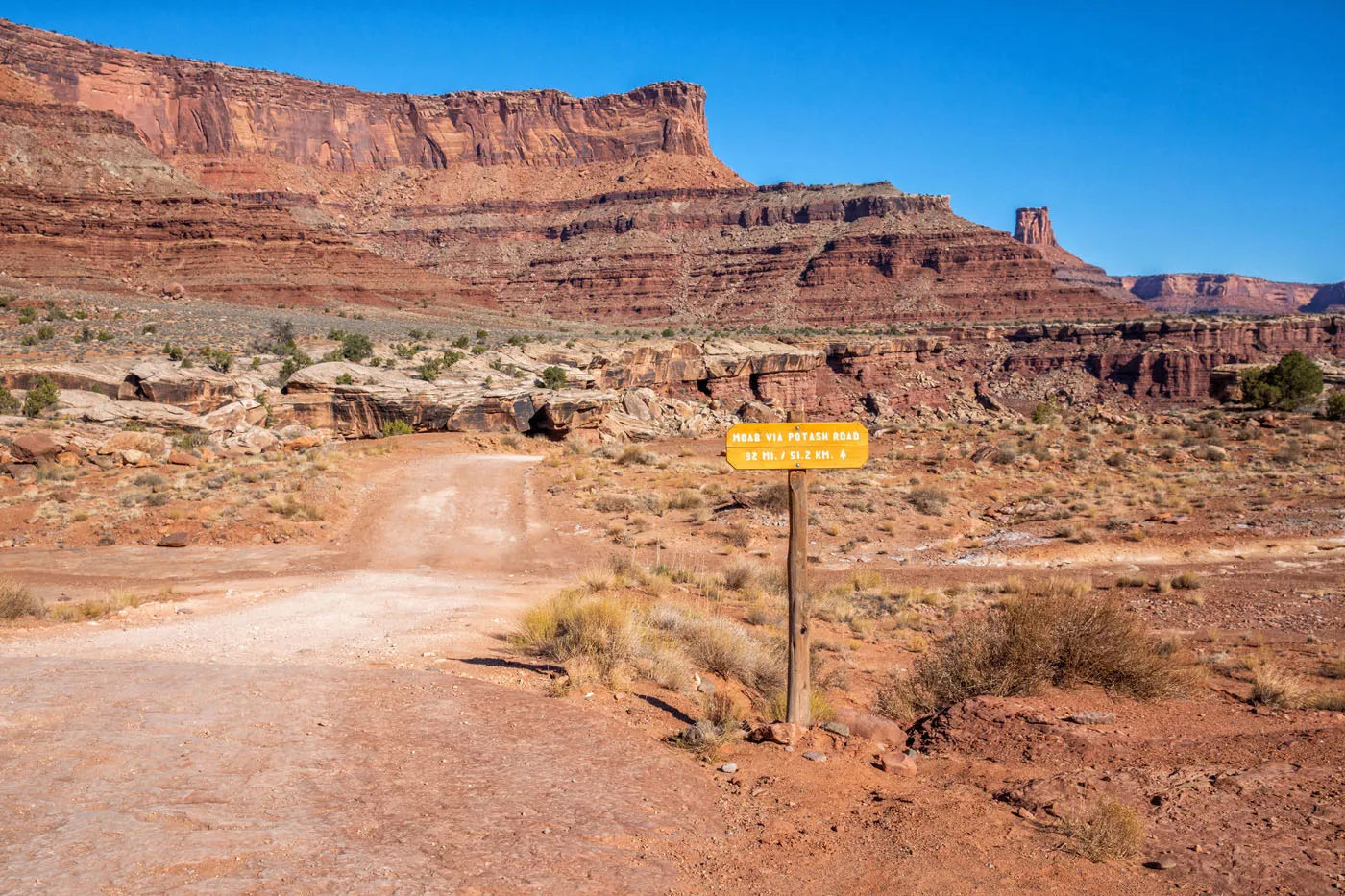
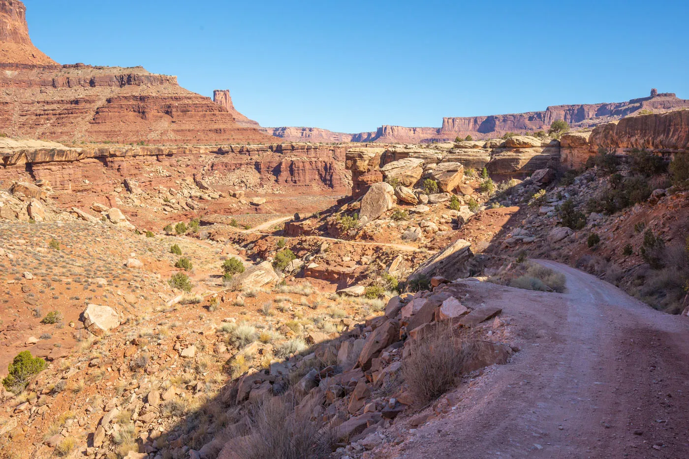
Potash Road
Turn left onto Potash Road. Note: If you do not turn left, you will begin the drive the White Rim Road. To do this, you must have a permit.
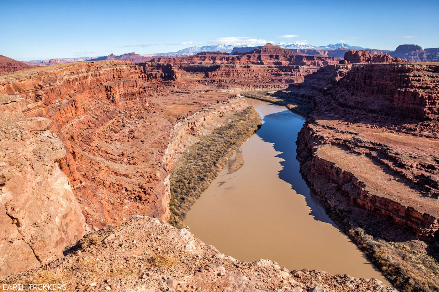
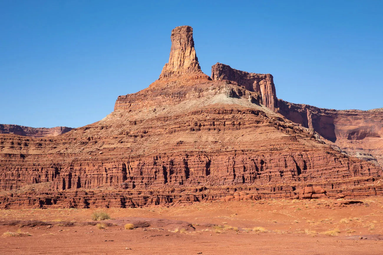
Potash Road weaves down through a canyon and then runs right along the Colorado River.
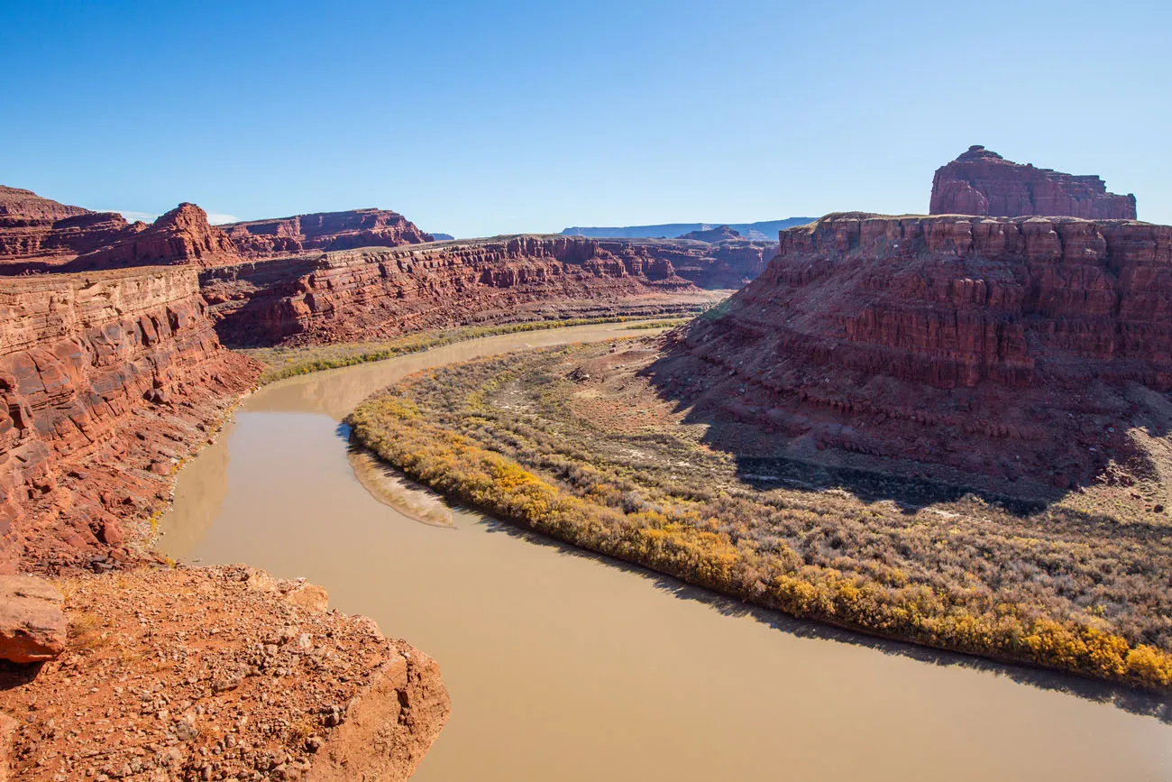
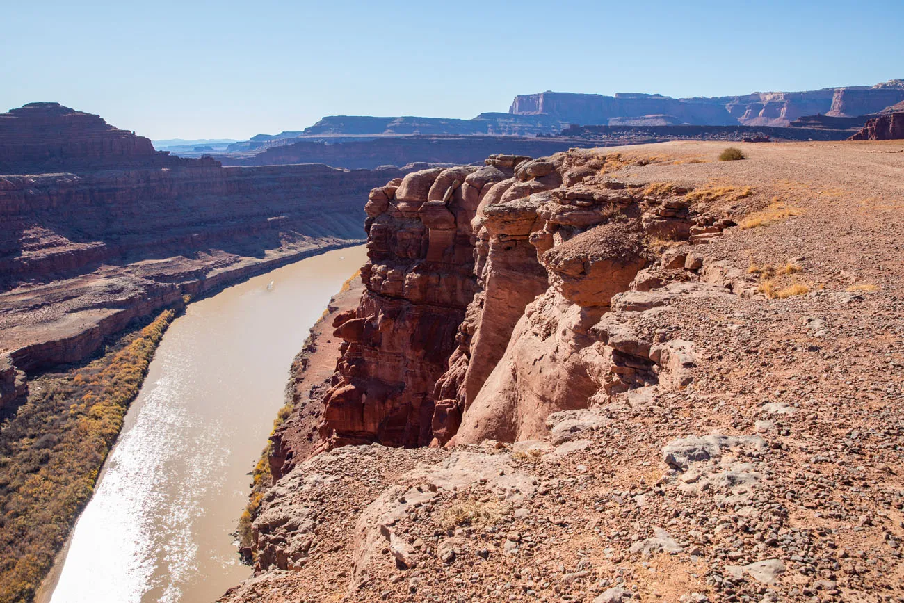
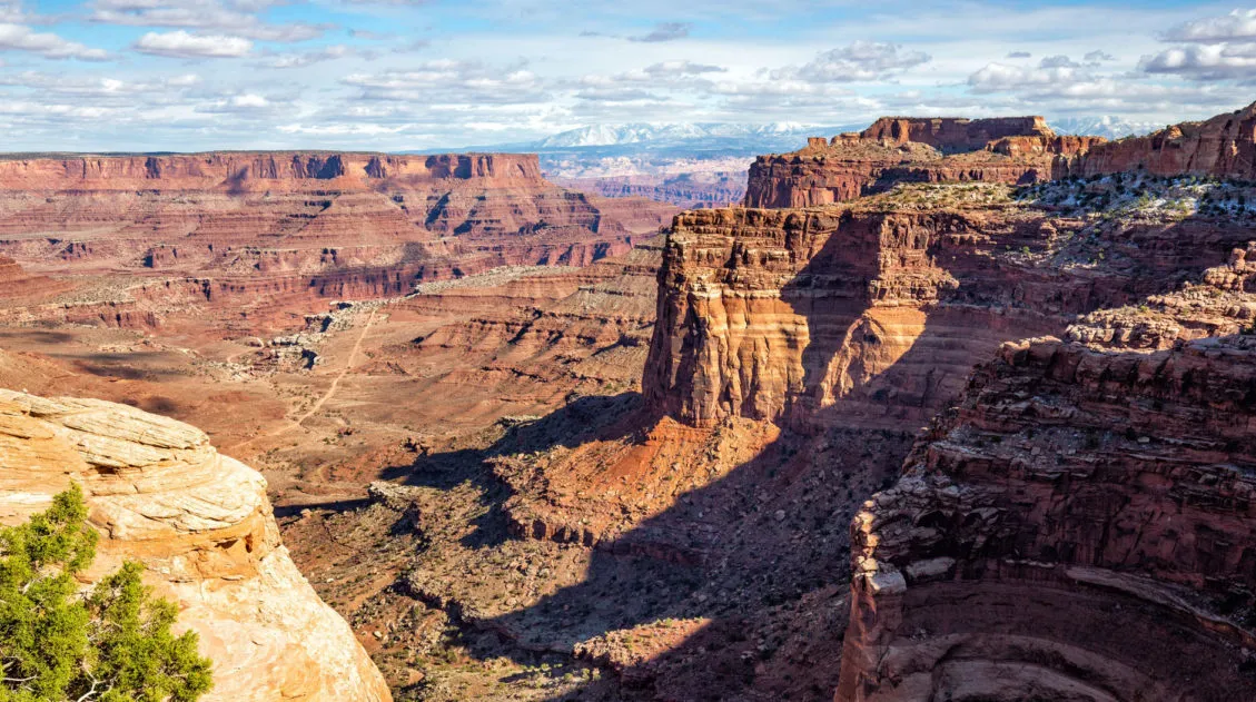
You will pass below Dead Horse Point. Here is a photo looking up at the point.
Here is a photo taken from Dead Horse Point. In this photo, you can see Potash Road as it runs along the Colorado River. Canyonlands National Park is on the right side of the photo.
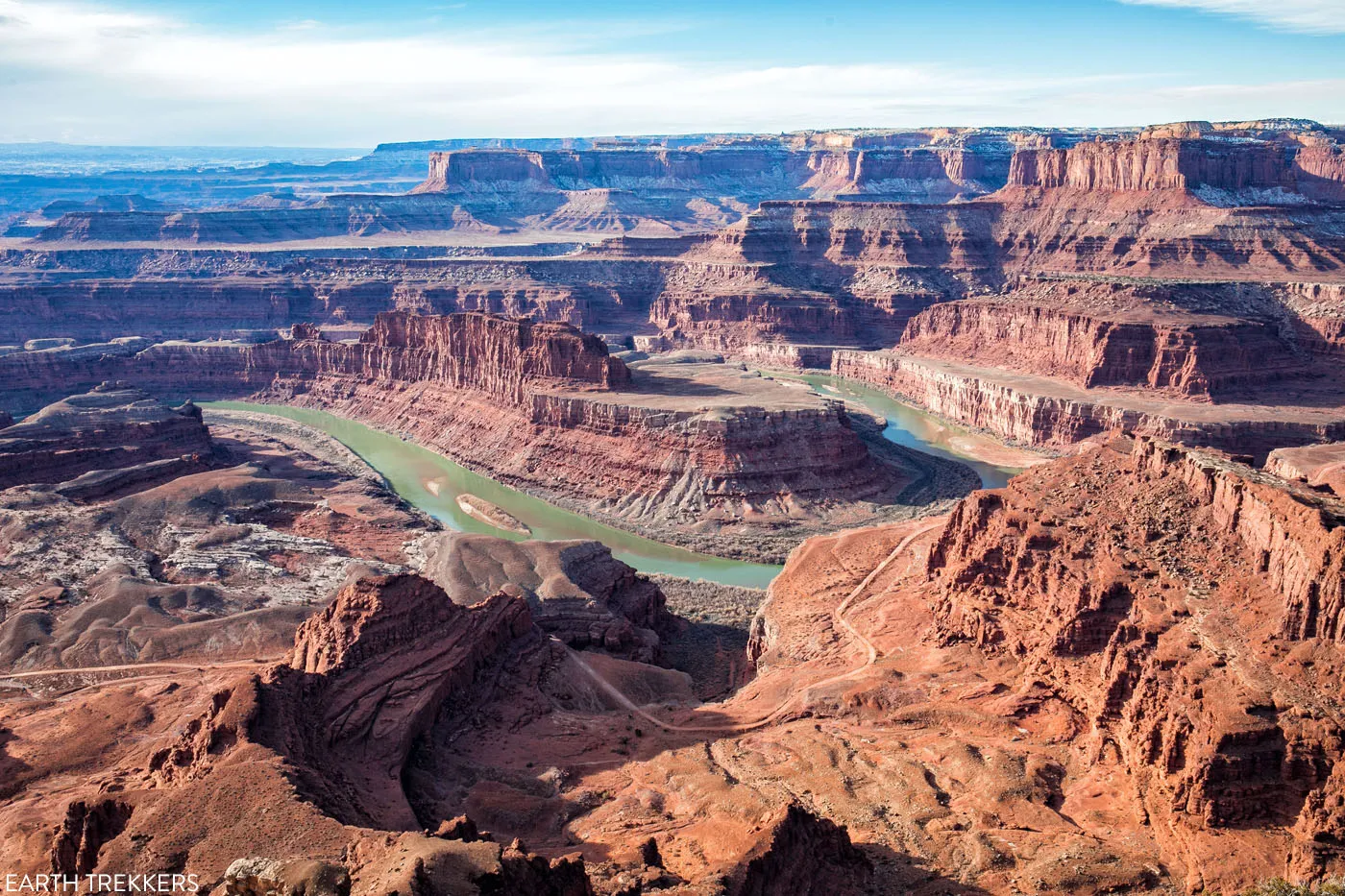
The view of Potash Road from Dead Horse Point State Park.
Thelma and Louise Point
The final scene of the movie Thelma and Louise, when they drove off of the cliff, was not filmed in the Grand Canyon. It was filmed right here, next to the Colorado River, just outside of Dead Horse Point State Park.
Here are photos taken from Thelma and Louise Point.
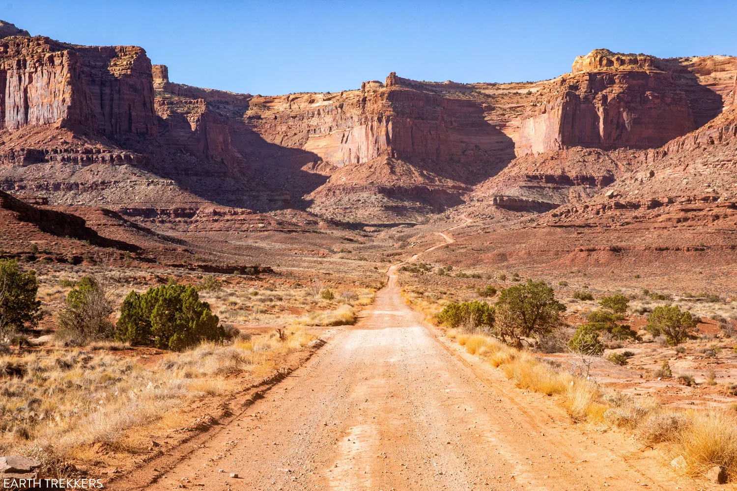
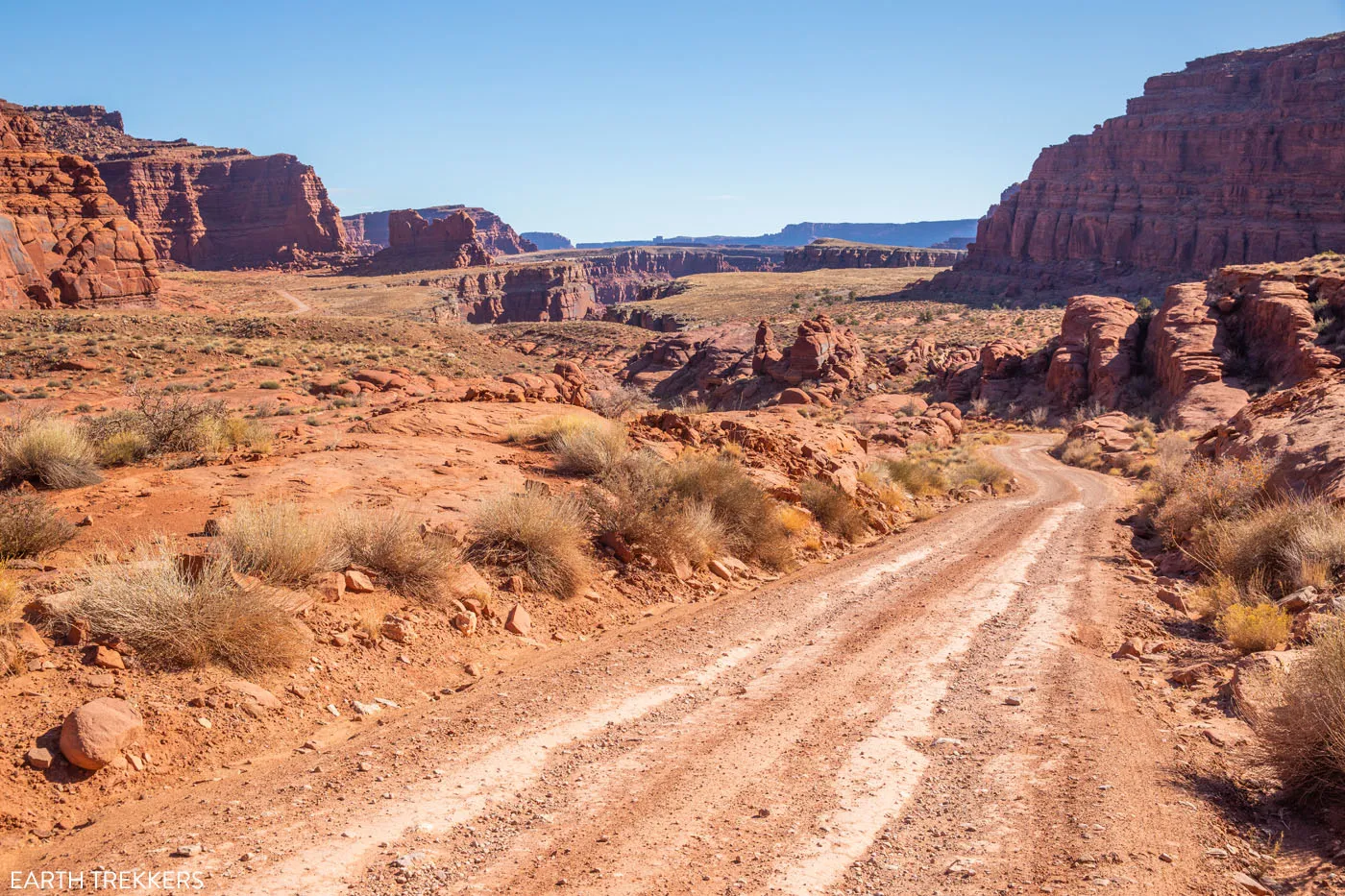
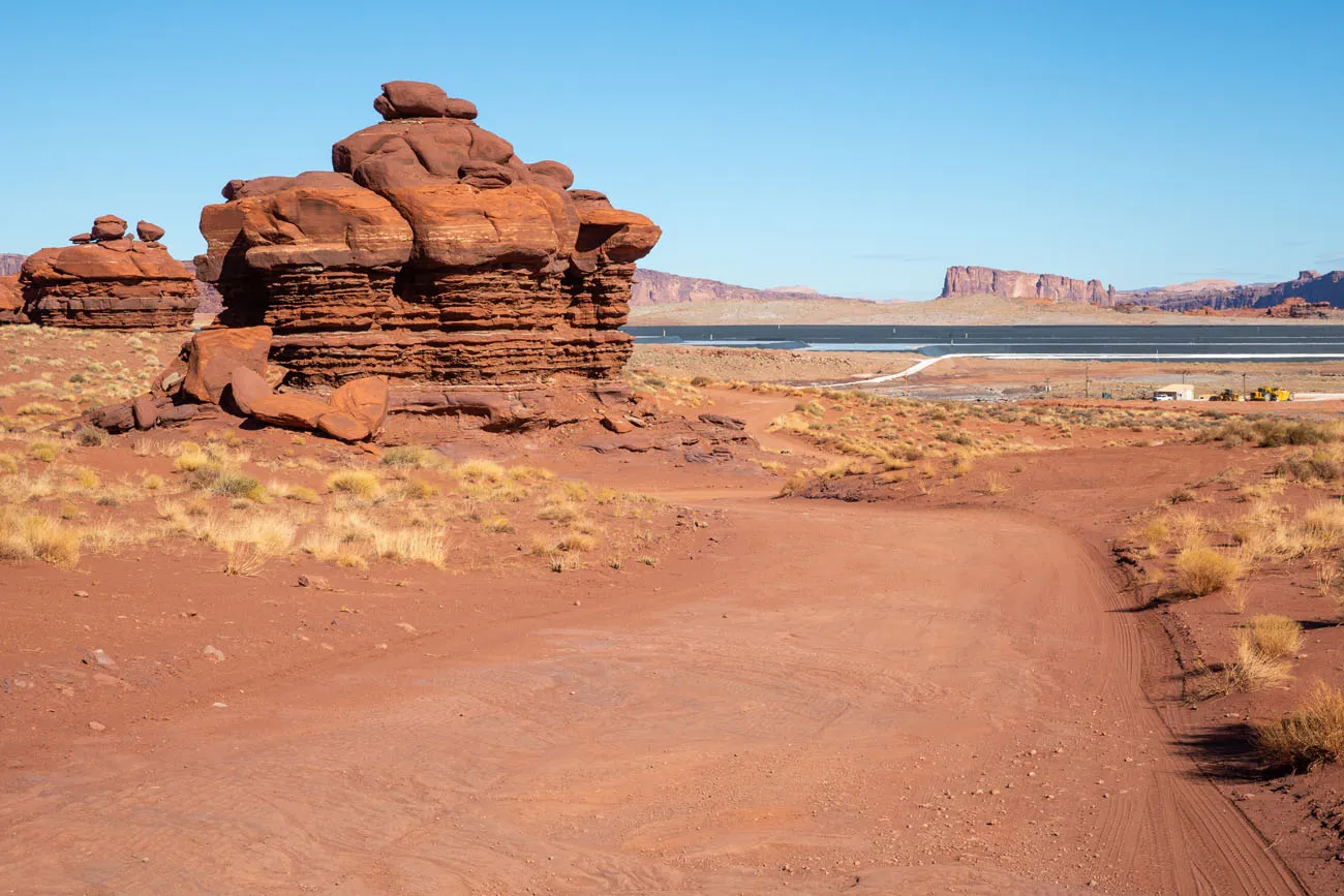
Past Thelma and Louise Point, the road heads away from the Colorado River and then goes past the Potash evaporation ponds.
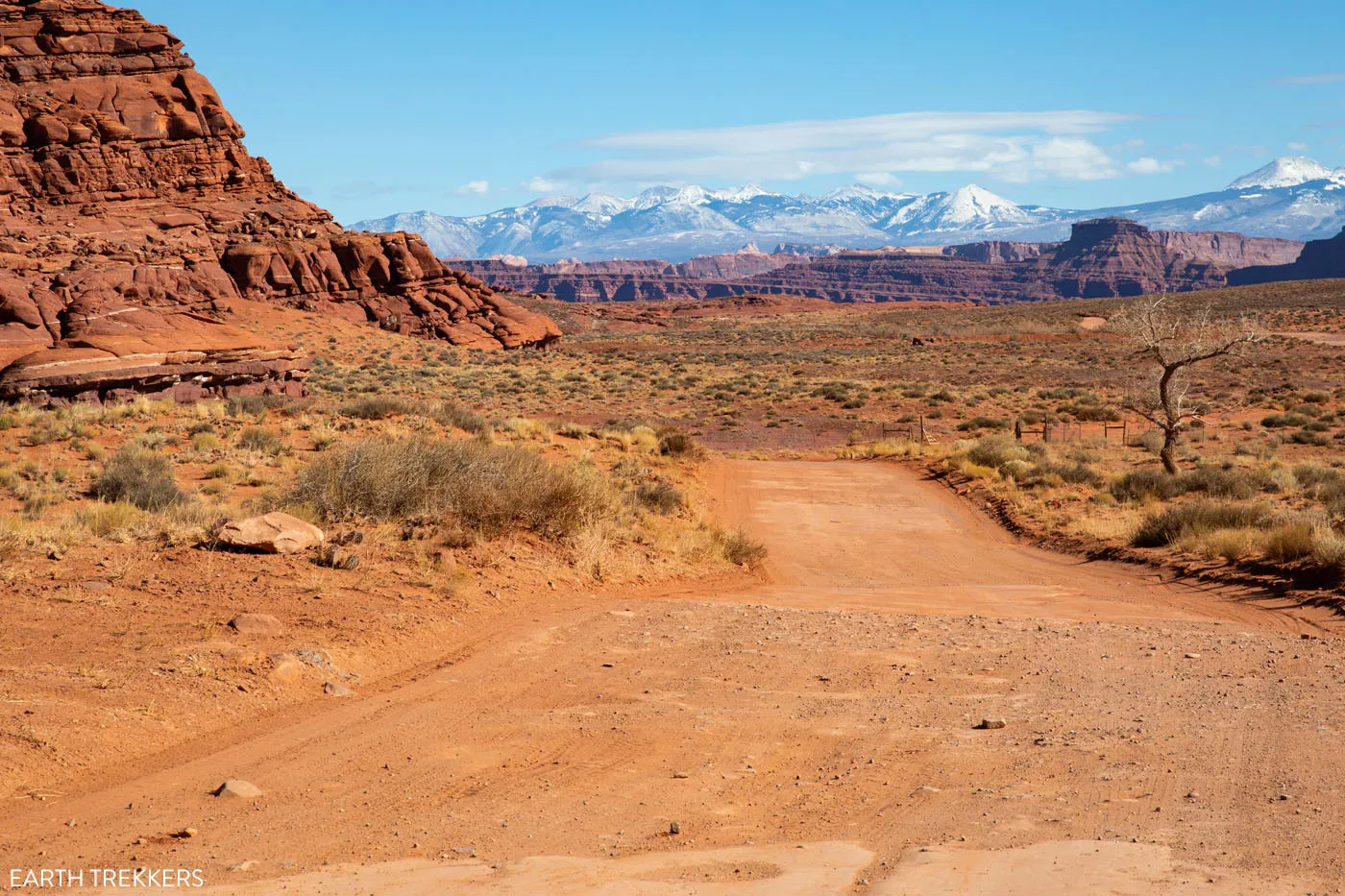
Utah-279 to Moab
Just past the evaporation ponds your tires will hit paved road. From here, it is a smooth, easy drive back to Moab. This road runs along the Colorado River.
On the way, you will pass rock climbing sites and Corona Arch. The hike to Corona Arch is 2.5 miles round trip and gets great reviews. If you still have time and energy left, this is another cool spot to add onto this drive.
Utah-279 ends at Highway 191. Turn right and in a few minutes, you will be in Moab.
Frequently Asked Questions
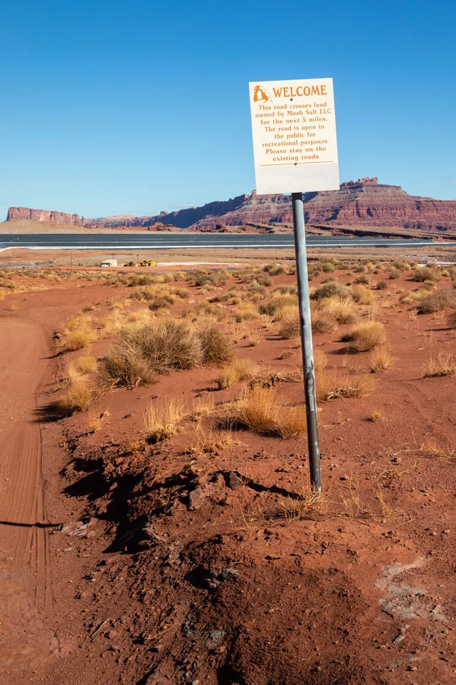
Do I Need a Permit to Drive Shafer Canyon Road and Potash Road?
No, you do not need a permit to drive these roads.
However, if you plan to include the White Rim Road, you must have a permit to drive the White Rim Road.
Can I Do This Drive All Year?
During the winter months, Shafer Canyon Road can close due to snowfall. If you plan to do this drive during this time, get updated road conditions on the National Park Service website or at the visitor center.
How Can I Add this on to My Visit to Canyonlands?
Get an early start, arriving in Canyonlands at or just after sunrise. If you are a photographer, consider visiting Mesa Arch at sunrise, to capture the glimmer of the first rays of sun under the arch. Then, spend the rest of the day visiting the overlooks and hiking the short trails in the park.
To get back to Moab, drive Shafer Canyon Road and Potash Road described above. Just make sure you give yourself at least an hour and a half of daylight, to get back onto paved road before sunset.
If you only have one day in Moab, visit Canyonlands in the morning, drive Shafer Canyon and Potash Road midday, and spend the afternoon in Arches National Park. Get the full details on how to do this in our One Day Canyonlands and Arches Itinerary.
For more details on how to plan your time in Canyonlands, read our post One Perfect Day in Canyonlands National Park.
How Can I Add on the White Rim Road to this Drive?
With one day, you can drive Shafer Canyon Road, a portion of the White Rim Road, and then return to Moab via Potash Road. To do this, you must have a permit for the White Rim Road. You also must have a high-clearance 4WD vehicle. Both the permit and the high-clearance 4WD vehicle are enforced by the national park service.
Day use permits are available up to 24 hours before your trip. You can obtain this permit online or at the visitor center. Click here to learn more.
Once on the White Rim Road, you can go as far as Gooseberry campground or Monument Basin. You will drive the White Rim Road out-and-back, since you do not have a permit and a campsite reservation to spend the night. Below is a link for the full details on how to drive the White Rim Road in one day.
Learn more about the White Rim Road in these three guides:
Before you go, check road conditions on the National Park Service website. You can also get updated conditions and advice by speaking to a park ranger in the visitor center.
Have fun driving Shafer Canyon Road and Potash Road. If you have any questions about this drive, or if you want to share your experience, you can do so in the comment section below.
More Information for Your Trip to Moab
Best Things to Do in Island in the Sky: Canyonlands National Park
Canyonlands National Park is an underrated park located near Moab, Utah. Compared to its smaller and more popular neighbor Arches National Park, Canyonlands feels more rugged, more remote, and a whole lot larger. Island in the Sky, the most popular section of Canyonlands, is filled with jaw-dropping vistas and short but sweet hiking trails. Here […]
One Perfect Day in Canyonlands National Park
Canyonlands is an enormous National Park. Over 330,000 acres are filled with arches, buttes, mesas, canyons, hiking trails, dirt roads, campgrounds, and overlooks. It would take days, weeks even, to fully explore all that Canyonlands has to offer. However, if you only have one day in Canyonlands, you have just enough time to visit the […]
12 Amazing Things to Do in The Needles, Canyonlands National Park
The Needles is an often overlooked section of Canyonlands National Park. But those who take the time to visit the Needles are rewarded with thrilling, unique hiking trails, low crowds, and jaw-dropping views of Canyonlands National Park. In this post, we cover the 12 best things to do in the Needles…12 great reasons why this […]
The Ultimate Arches and Canyonlands One Day Itinerary
Canyonlands and Arches are two national parks that sit side-by-side near Moab, Utah. Since these parks are neighbors, it is possible to visit both of them in one very busy day. In this guide, we cover the best way to spend one day in Arches and Canyonlands National Parks. We are frequent visitors to this […]
Where to Stay in Moab: Best Hotels, Resorts & Campsites for Every Budget
Trying to decide where to stay in Moab? From upscale resorts and spacious bungalows to highly rated inns, hotels, and campsites, Moab offers something for every travel style and budget. We’ve visited Moab four times, using this small town as our gateway to the stunning landscapes of southeastern Utah. Surrounded by dramatic red rock formations […]
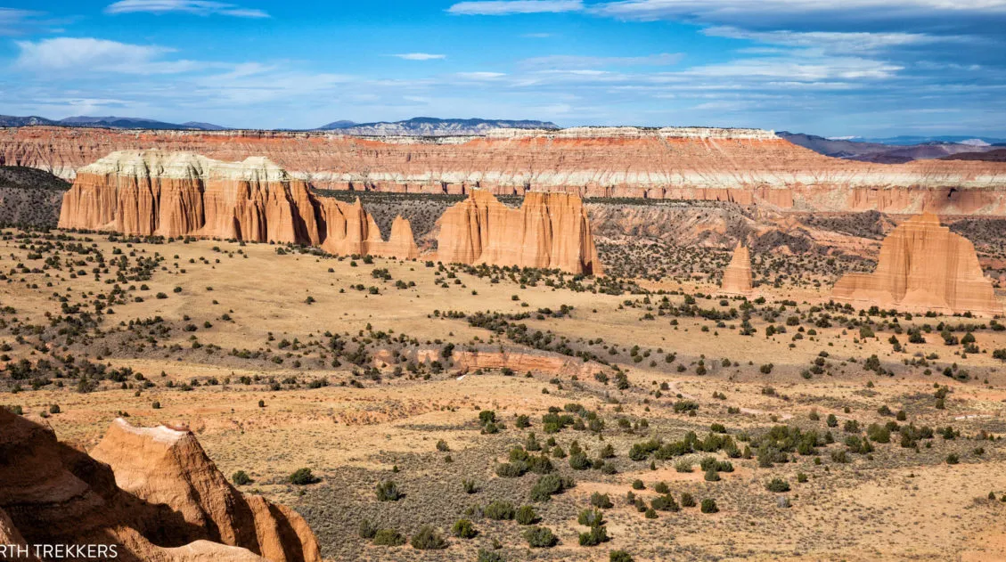
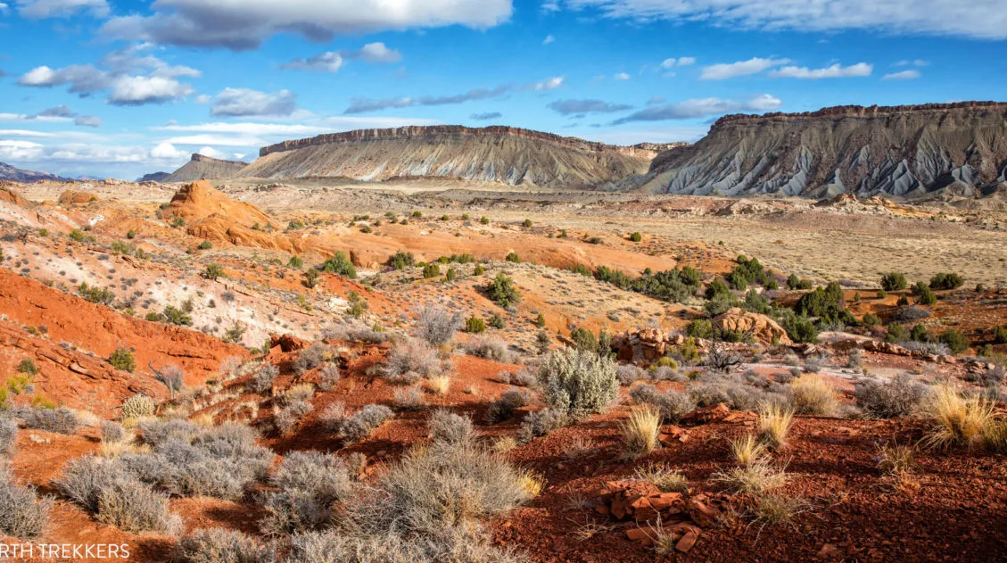
Complete Guide to the Cathedral Valley Loop (+ Map & Best Route)
Cathedral Valley is a rugged, remote district of Capitol Reef National Park. Few people travel out this way, to see this valley and its sandstone monoliths, colorful Bentonite hills, and vast desert scenery. But that’s part of its appeal. If you like the idea of leaving the crowds behind and exploring the backcountry, the Cathedral […]
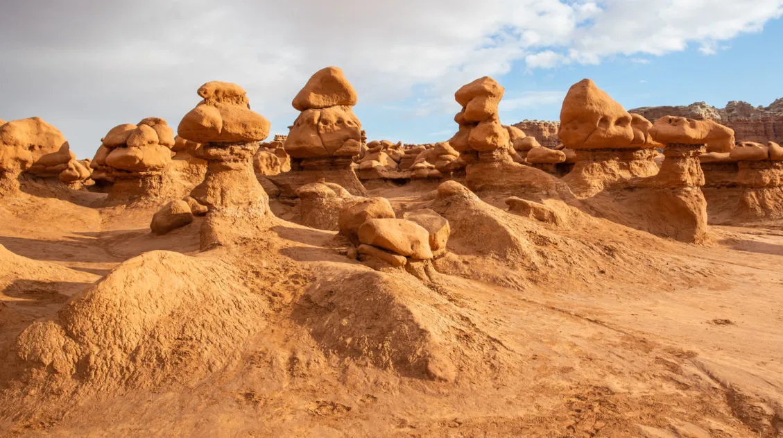
Goblin Valley State Park: Things to Do with Limited Time
Goblin Valley is an easy to visit state park that is located in southeastern Utah. With its hoodoos, toadstools, “goblins,” and short but sweet hiking trails, this park is pure fun to visit. Kids, and kids at heart, will LOVE this park!! The main section of hoodoos and goblins is free to explore…there is no […]
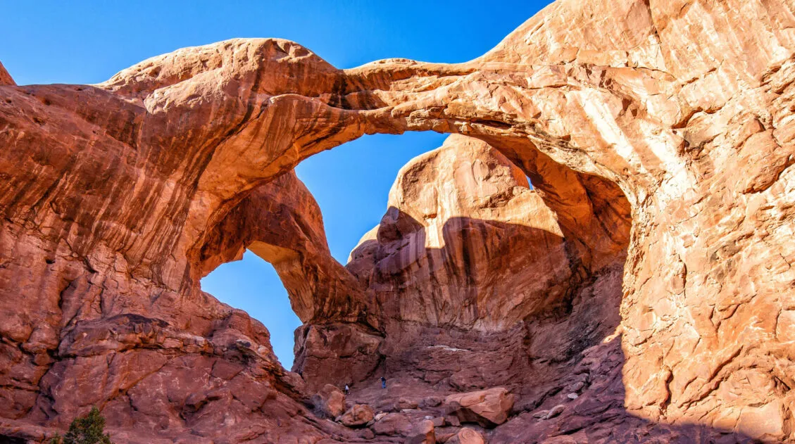
16 Amazing Things to Do in Arches National Park (+ HELPFUL Tips)
Arches National Park is a wonderland of desert vistas, short hiking trails, strange rock formations, and you guessed it, arches. Not only will you find over 2,000 arches here, but you will also see hoodoos, fins of sandstone rocks, massive mesas, and balanced rocks. Here are the best things to do in Arches National Park. […]
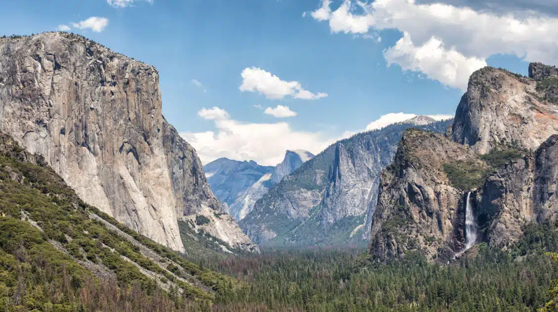
Arches, Canyonlands and Capitol Reef: 7 to 10 Day Road Trip Itinerary
Arches, Canyonlands, and Capitol Reef National Parks are three spectacular parks to visit in Utah. With 10 days, you can visit each of them, plus a few more cool spots, on this epic road trip. Tim and I did this road trip in November 2020. Prior to this trip, we had already visited each of […]
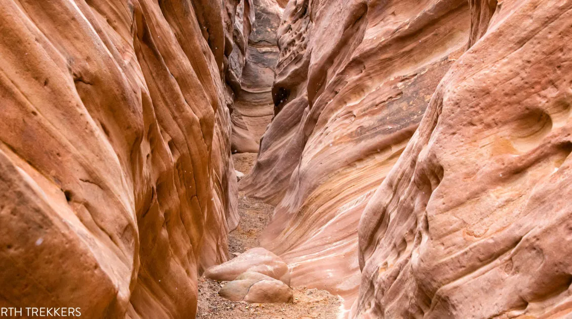
Little Wild Horse Canyon – Bell Canyon Loop: A Step-By-Step Guide
Little Wild Horse Canyon is one of the most thrilling slot canyons in Utah. With tight passageways, curving, scalloped walls, and short sections of easy rock scrambling, this hike is fun for both kids and adults. You can hike the narrowest (and most fun) section of Little Wild Horse as a fast out-and-back hike, or […]
How to Hike the Syncline Loop in Canyonlands National Park
For years, I heard amazing things about the Syncline Loop. This tough hike is known for its outstanding views, and due to the primitive nature of the trail, it is only recommended for experienced hikers. It got such rave reviews in the hiking community and it sounded so thrilling that we couldn’t wait to hike […]
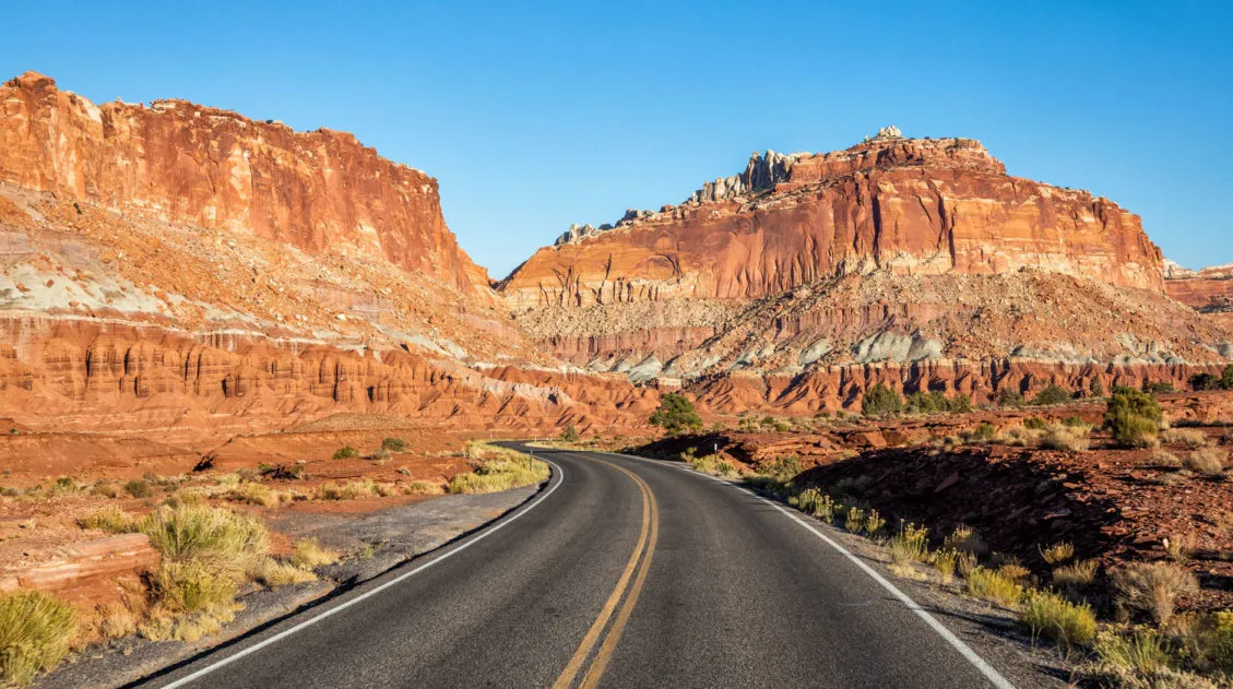
How to Loop the Fold in Capitol Reef National Park
Desert vistas, slot canyons, colorful hills made of bentonite and sandstone, marine fossils…these are just a few of the things that you will see when you Loop the Fold in Capitol Reef National Park. This incredibly scenic drive takes you through the remote, southern section of Capitol Reef. On this drive, you will circle around […]
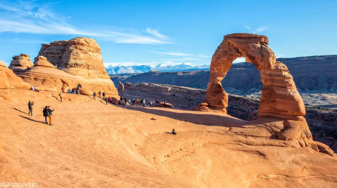
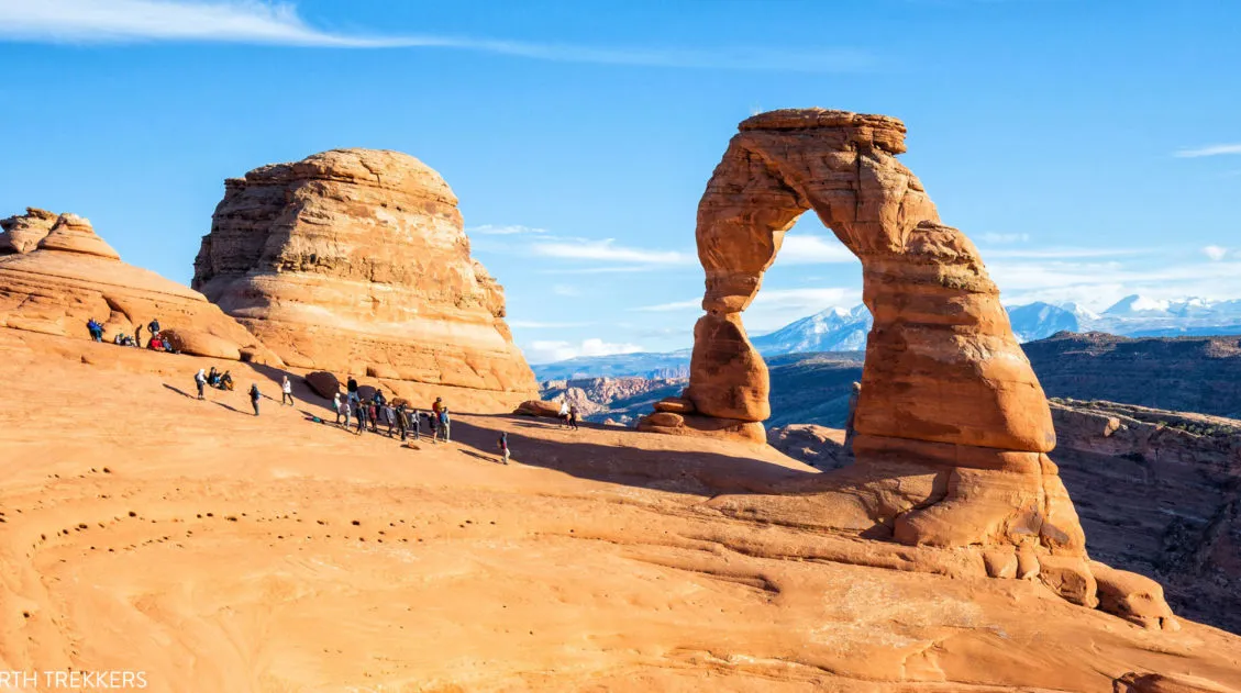
Exactly How to Hike to Delicate Arch (+ Unique Photo Spots)
Delicate Arch is one of the main attractions in Arches National Park. Most likely, this arch is high on your list of places to visit in the park. In order to have the best experience, there are a few things to know before you go. Here are our tips for visiting Delicate Arch, including what […]
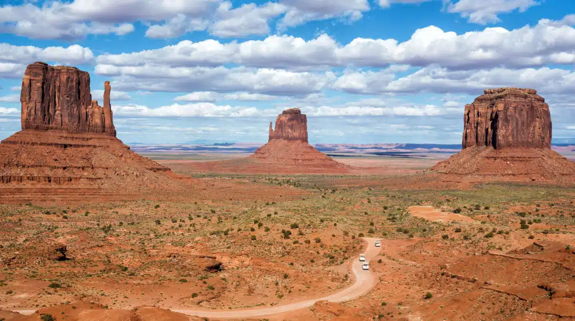
The Ultimate Guide to the 63 US National Parks
Stretching from the South Pacific, across the United States to the Caribbean, are 63 national parks. These national treasures preserve iconic landscapes, majestic mountains, primordial forests, arid deserts, misty coastlines, immense canyons, wildlife, and historic landmarks. We have visited 56 of the 63 US national parks, from the towering granite walls of Yosemite and the […]
United States Travel Guide: Places to Visit in the USA
Plan your visit to the United States. Learn about the best things to do, how to plan your time, road trip ideas, and sample itineraries.

Comments 16