
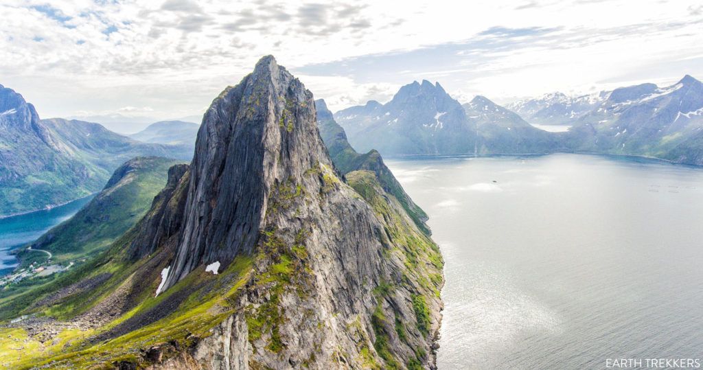
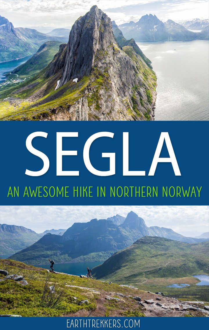
The hike up to the summit of Segla is one of Senja’s most popular hikes. And this was our main reason for visiting Senja.
Many visitors skip past Senja, heading directly to the Lofoten Islands. But those people are missing out seeing a gorgeous part of Norway and some hidden gems. That’s fine…that means less crowded hiking trails for people “in the know.”
The Segla hike is short but it is surprisingly tough. You have to be prepared to work hard to get to the summit, but you will be rewarded with breathtaking panoramic views of Norway.
It’s worth traveling to Senja just to do this hike.
How to Hike to Segla
Segla Hiking Stats
Distance: 5 km (3 miles) round trip
Difficulty: Strenuous
Elevation gain: 610 meters (2000 feet) with a max elevation of 636 meters (2088 feet) at the peak
Length of time: 3 to 4 hours
When: May through September
Optional: You can combine this hike with Barden (more at the end of this post)
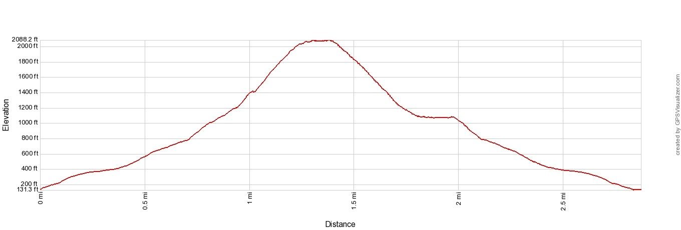
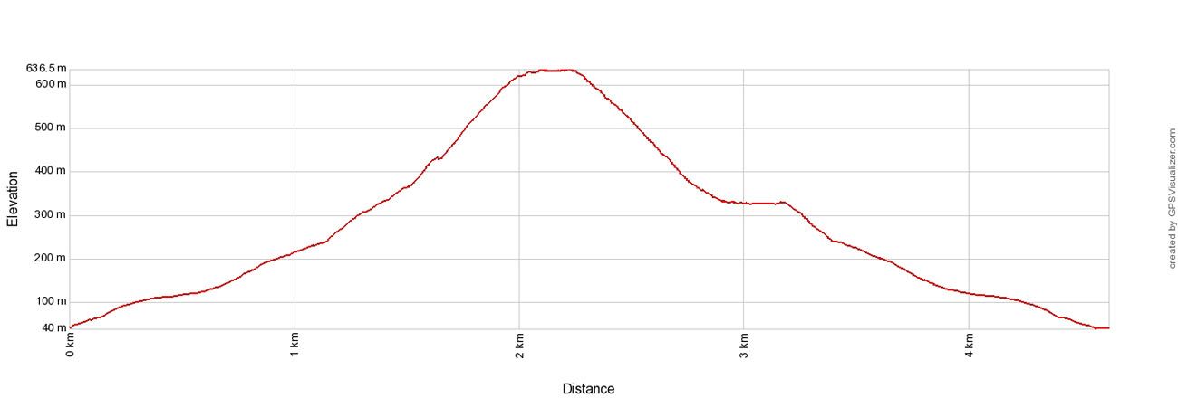
Segla Elevation Profile
Please practice the seven principles of Leave No Trace: plan ahead, stay on the trail, pack out what you bring to the hiking trail, leave areas as you found them, minimize campfire impacts, be considerate of other hikers, and do not approach or feed wildlife.
Getting to the Segla Trailhead
Segla is located on Senja, Norway’s second-largest island. Most visitors fly into Tromsø, which is the closest major airport, roughly 2.5 to 3 hours from Fjordgard by car. Harstad/Narvik (Evenes) Airport is another option, particularly if you’re combining Senja with a trip to the Lofoten Islands.
We came from Sommarøy and took the Brensholmen–Botnhamn ferry, which runs year-round and takes about 35–45 minutes. From Botnhamn, it’s another 25 minutes by car to Fjordgard. Check the current schedule at Svipper.no before your trip, as times vary by season.
The trailhead is in the small village of Fjordgard. Parking is located behind Senja Montessoriskole (the local school). Note that parking is now paid; payment can be made via the EasyApp. GPS coordinates for the lot: 69.504415, 17.625956. The lot fills up fast in peak summer, so an early start works in your favor both for parking and for a quieter trail.
For a full driving itinerary through this region, see our 10-Day Northern Norway Itinerary.
Segla Trail Guide
On the Trail to Segla
The trailhead is located next to the small parking lot behind Senja Montessoriskole, the Fjordgard school.
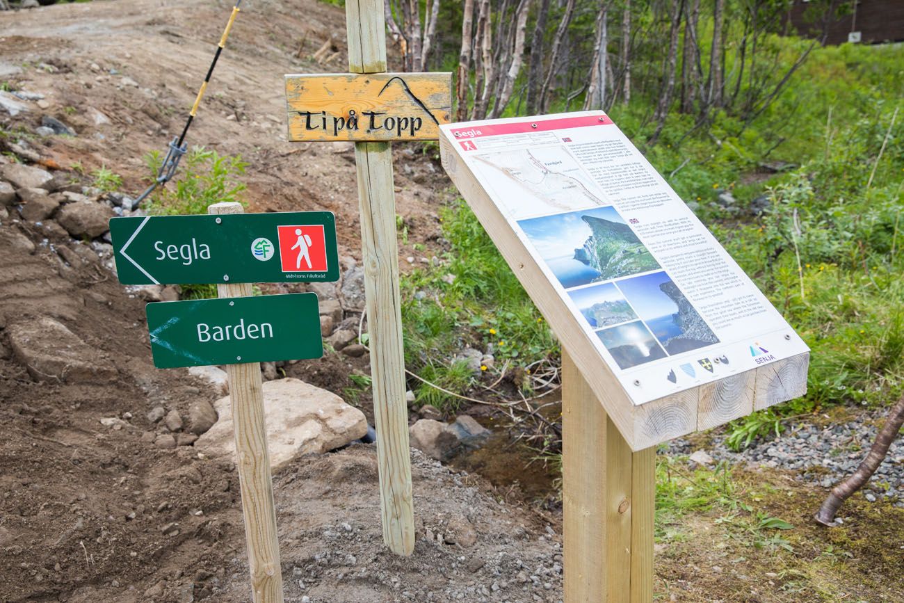
Next to the parking lot is a sign marking the trailhead.
A wide gravel path wastes no time in gaining elevation. It is a slow and steady climb until you come to a fork in the trail. Stay to the right to continue up to Segla or turn left to hike up Barden.
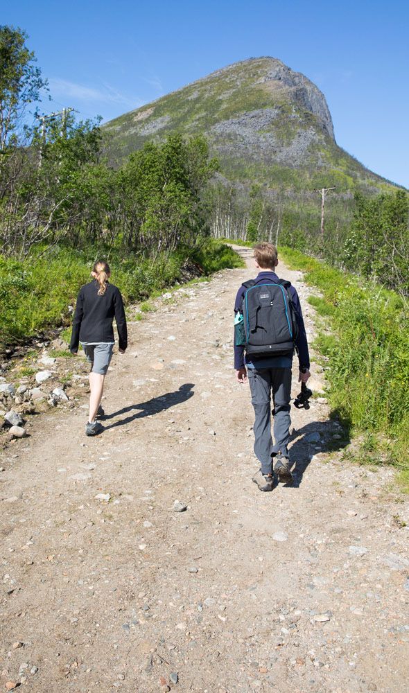
The start of the hike. The peak of Segla can be seen in this photo.
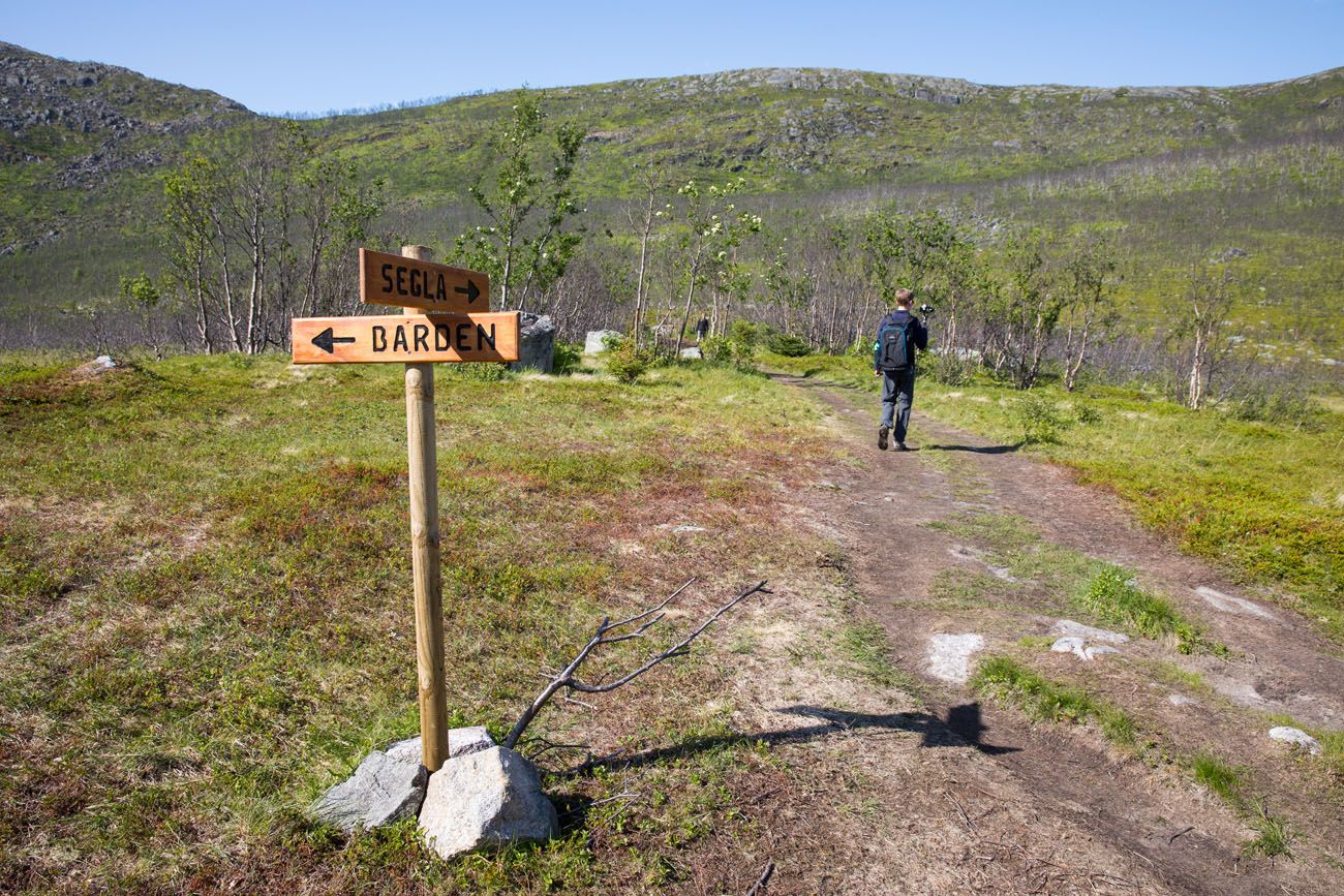
Optional Detour: You can take the trail to Barden, summit Barden, and then hike to Segla from here. We did not do this so I don’t have the details on how much elevation gain and distance this adds, but it’s quite a lot. If you have plenty of energy and a full day to do this, it looks like a great addition to the Segla hike.
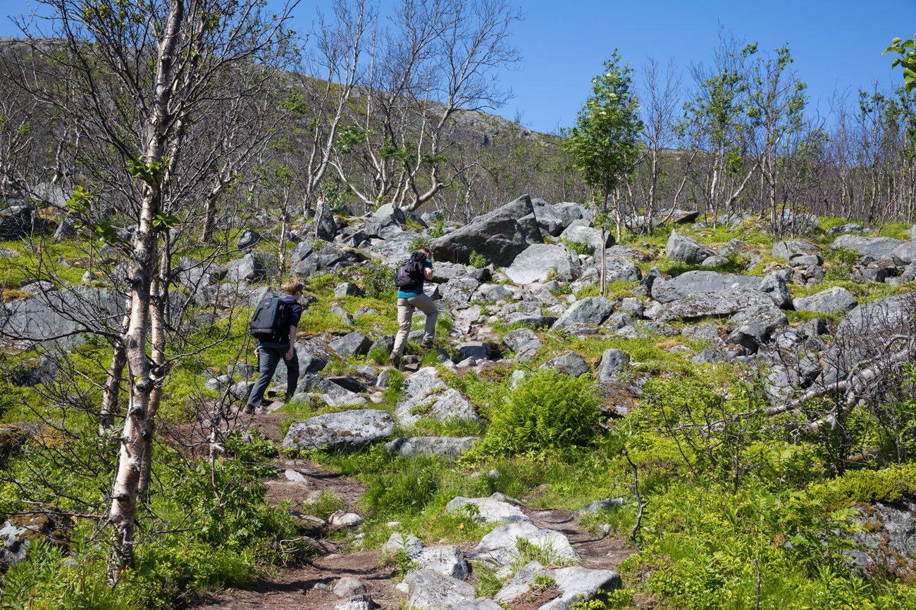
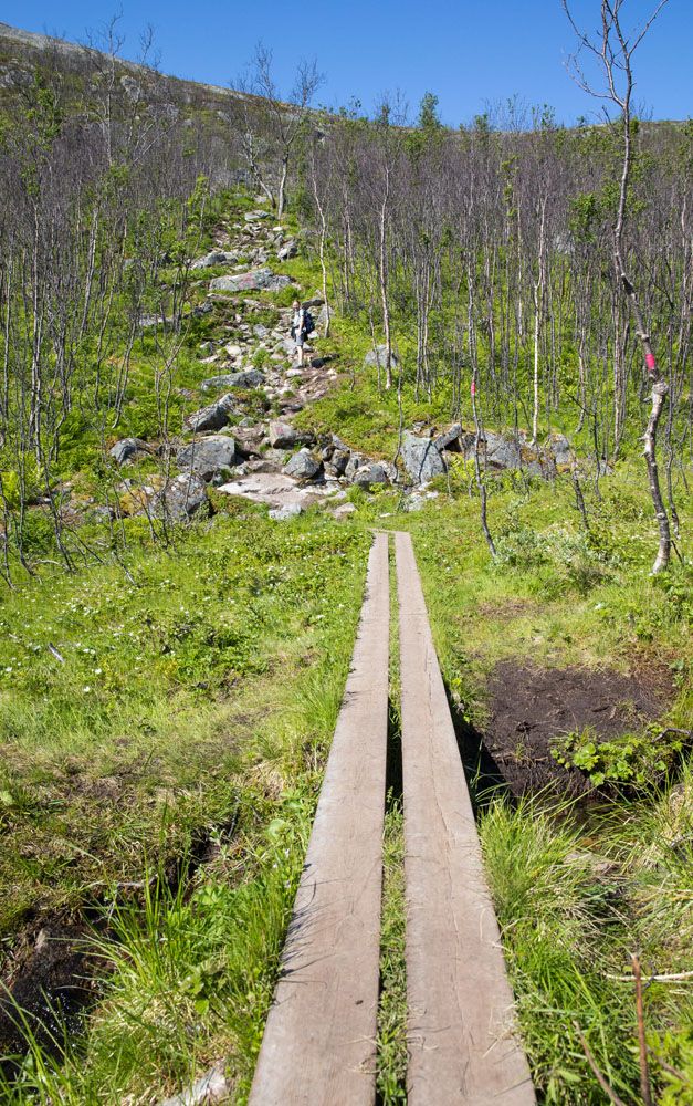
After you pass through a small, almost flat valley, the trail narrows and becomes very rocky. It also gets steeper. This is just a preview of the climb that awaits you further up the trail.
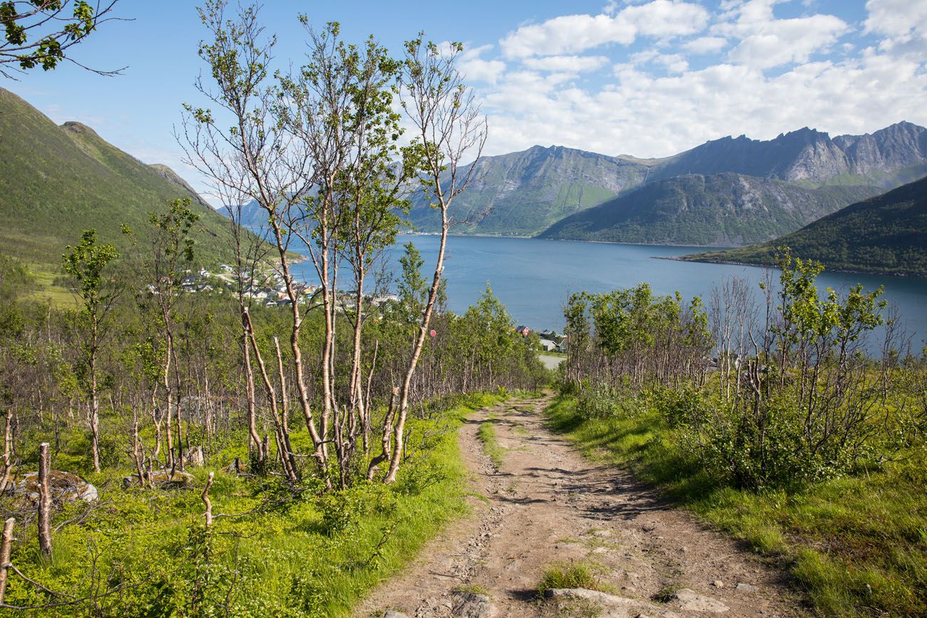
As you pause to catch your breath and rest your legs, look back towards Fjordgard and enjoy the view.
The Final Climb
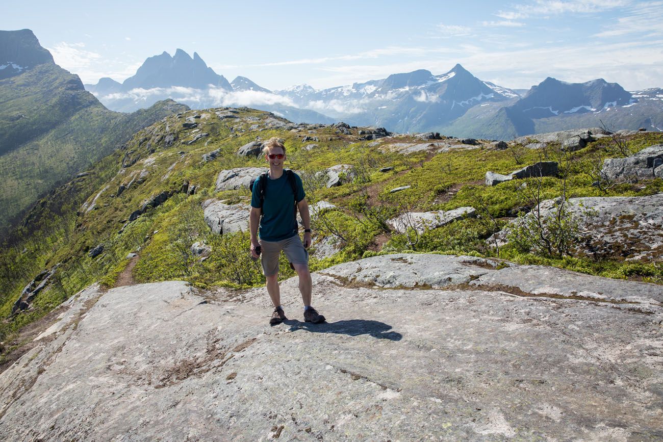
After hiking up the rocky trail through the forest, you end up on a plateau. The views really open up here and you get your first view of the final climb to the summit.
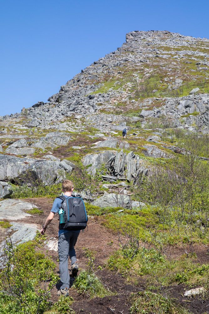
View of the final climb to the top of Segla.
To reach the top of Segla, a long, rocky, and very steep climb awaits you. It looks deceptively easier than it feels (and at times it feels like it will never end).
If you climb up just a short distance, you get one of the best views of the day (so far). Follow the view of the plateau out to Barden, with the jagged, gorgeous mountains making a stunning backdrop.
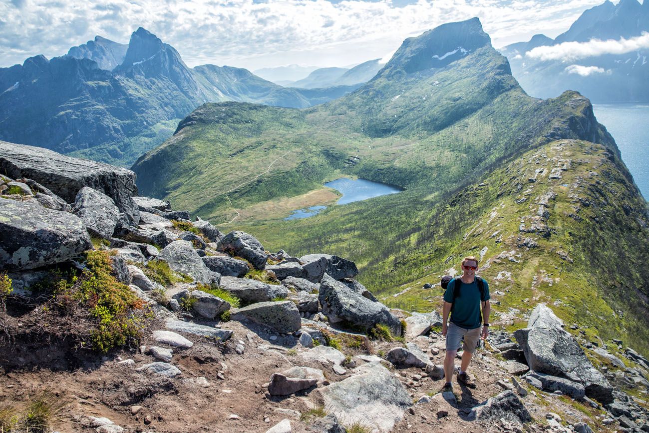
Looking back over the plateau. You can see the peak of Barden off in the distance.
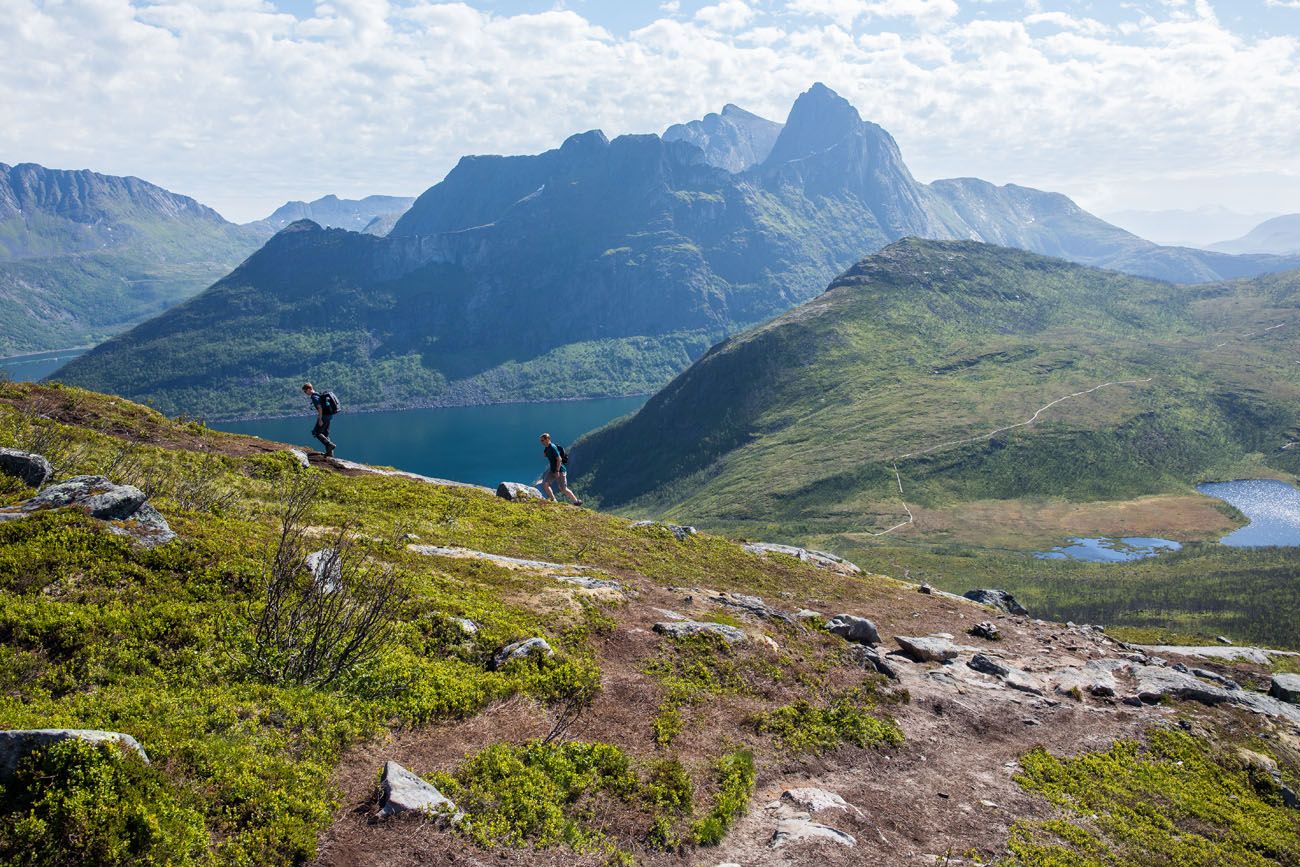
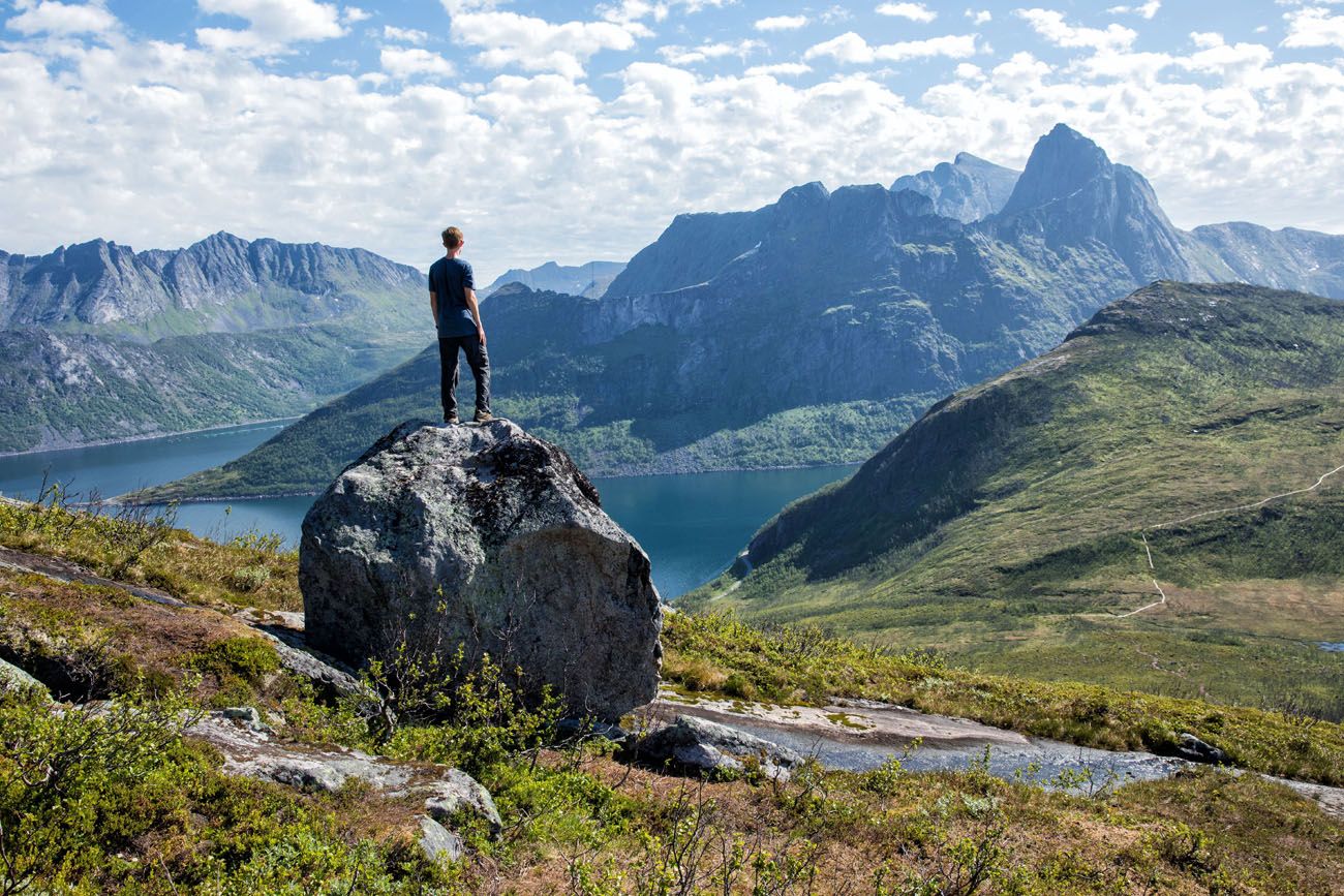
It took us roughly 30 minutes to make the final climb up Segla. This is very steep and very strenuous. We would hike up a short distance, pause to catch our breath, and continue on again. At this point, you are climbing a trail with a 45° incline.
There is no single trail to the top. Over the years, previous hikers carved out several different trails to the top. If you take the trail that is on the far left you will hike near the edge of Segla. There are some outcroppings of rock here that give you a vantage point to see the sheer face of Segla. Segla does not look impressive, or beautiful, from the hiking trail. It’s not until you get a view of the cliff plunging into Mefjord that you truly appreciate the beauty of this mountain.
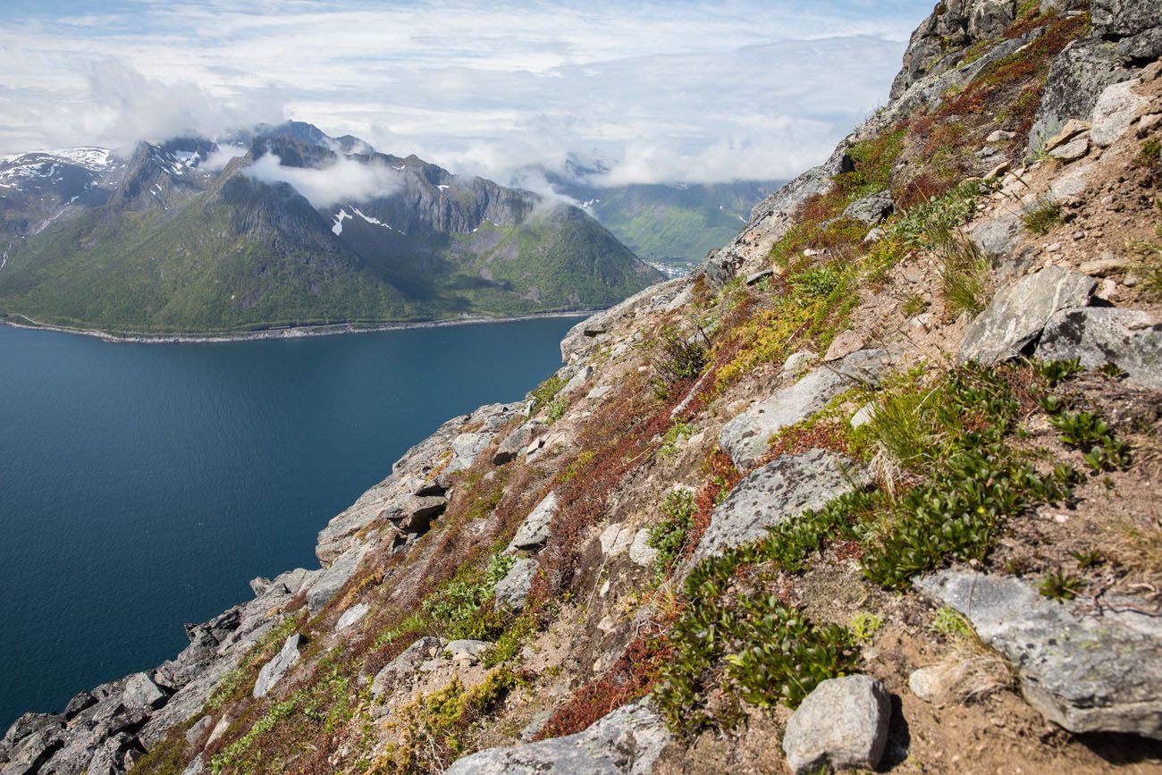
In this photo, you can get an idea of how steep the trail is.
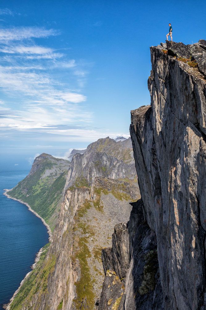
Tim, standing on Segla.
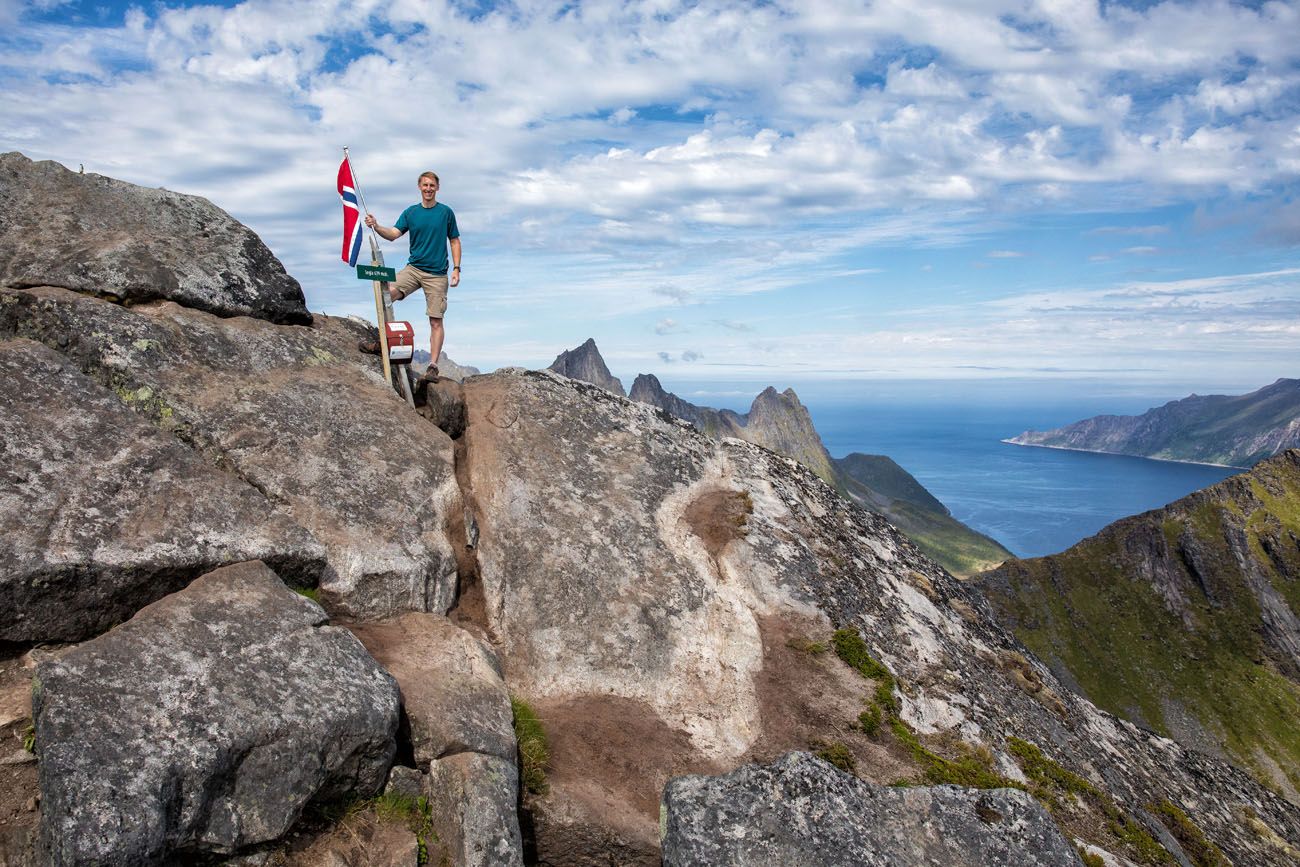
Finally, we reached the summit of Segla and were rewarded with one of our most spectacular views of Norway.
Views from the Top of Segla
From the top of Segla, enjoy 360° panoramic views of Senja. Gorgeous, right?
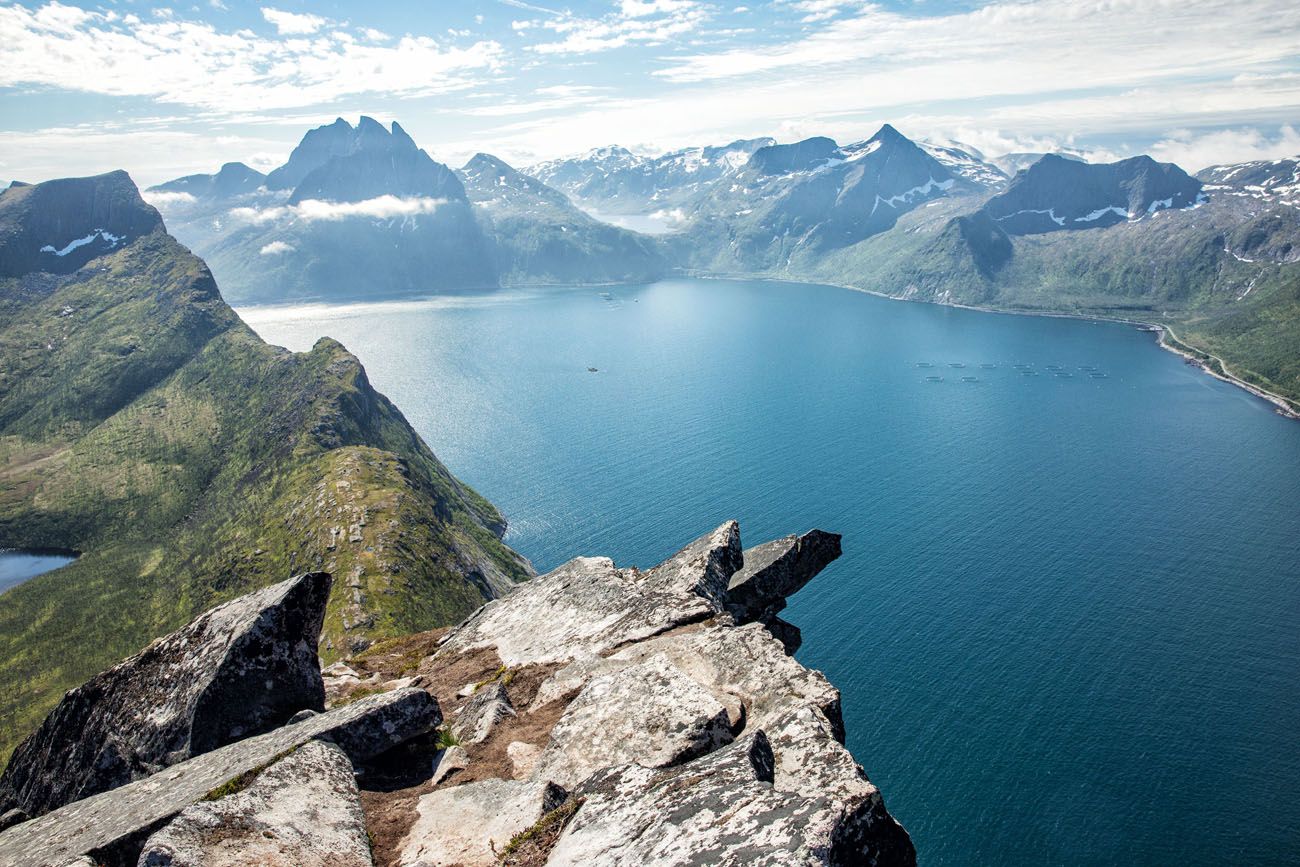
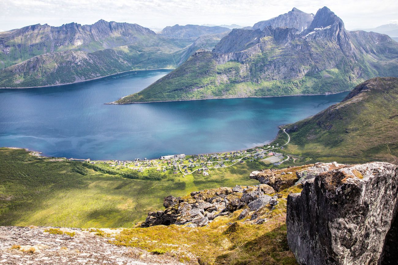
Looking down at Fjordgard.
Sign the turboka (the signature book), take your photo at the summit, and spend some time enjoying this amazing view.
We spent an hour at the summit and for a little bit we had it all to ourselves.
Return Hike
Return to your car the same way or add on the hike to Barden. To hike to Barden, descend back down to the plateau, hike across the plateau, and then hike up to the summit of Barden for another amazing view. You can then take the trail directly from Barden back to the parking lot.
Video of the Segla Hike
Want to see more of the trail? Watch our video about the hike up Segla, including clips shot with our drone.
Our Experience
We did this hike as part of our road trip through northern Norway. The night before we slept in Sommarøy.
From Brensholmen, which is the ferry stop closest to Sommarøy, we took the first ferry of the day (8:45 am). We arrived in Botnhamn at 9:30 am and drove to Fjordgard. At 10 am, there were only 3 other cars in the parking lot for this hike. When we got to the peak of Segla, there was only one other group of hikers here. Once they left, we had the peak of Segla all to ourselves. It was wonderful.
By the time we began our hike back to our car, many more people were on the trail and the parking lot was full. It wasn’t too bad but if you would like to have a quieter experience, start this hike early in the day if your schedule allows.
We did this hike as part of our 10-Day Northern Norway Itinerary, which takes you from Tromsø through Senja and down to the Lofoten Islands.
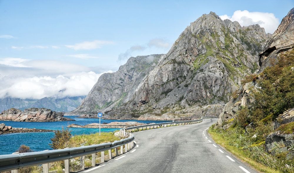
Hesten: How to Get the Iconic View of Segla
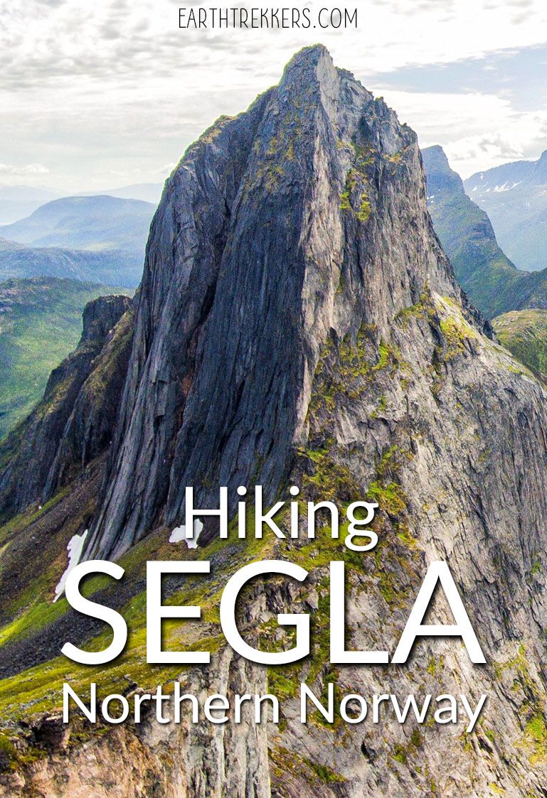
The photos you’ve seen online of Segla, the sheer cliff face dropping straight into Mefjord, are not taken from the top of Segla. They’re taken from Hesten, the peak to the north. When you’re standing on Segla, you’re standing on that cliff, not looking at it.
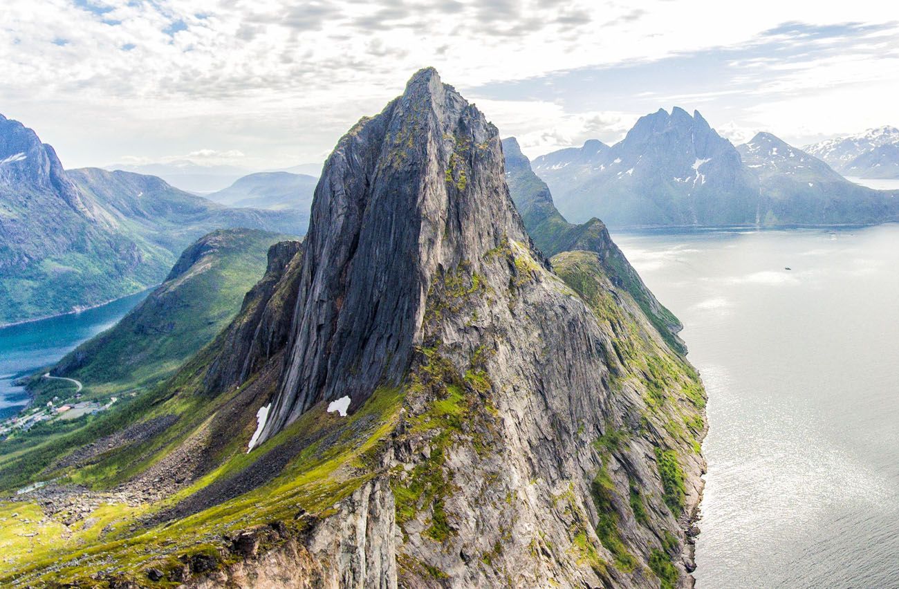
Our drone photo of Segla. You can get a similar view by hiking to Hesten.
We captured that view with our drone, but if you want it on foot, Hesten is a separate hike with its own trailhead in Fjordgard, about 600 meters from the Segla parking area. The two hikes cannot be linked. There is no trail connecting the north face of Segla to Hesten, and attempting to descend Segla’s north side would be extremely dangerous. Plan for two separate hikes if you want both summits.
We haven’t personally hiked Hesten, so we won’t walk you through the trail, but it’s well documented on AllTrails and is widely considered the better photography objective of the two.
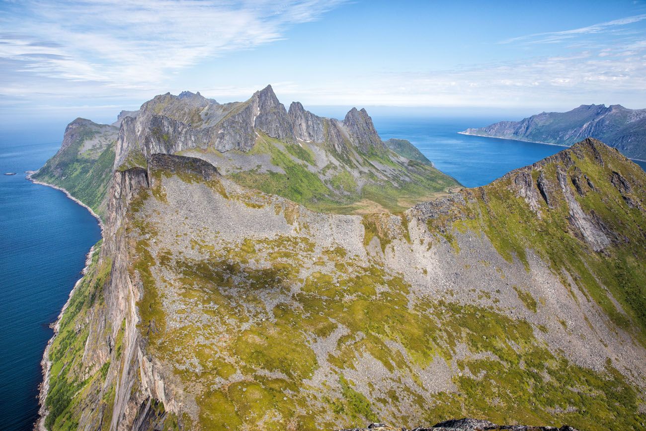
Looking north from Segla. Hesten is one of the peaks near Mefjord.
What To Bring
- Sturdy shoes with good traction. Hiking shoes are ideal but we saw people wearing sneakers and they were doing just fine.
- Water
- Camera
- Sunblock
- Snacks
- Hiking poles (optional)
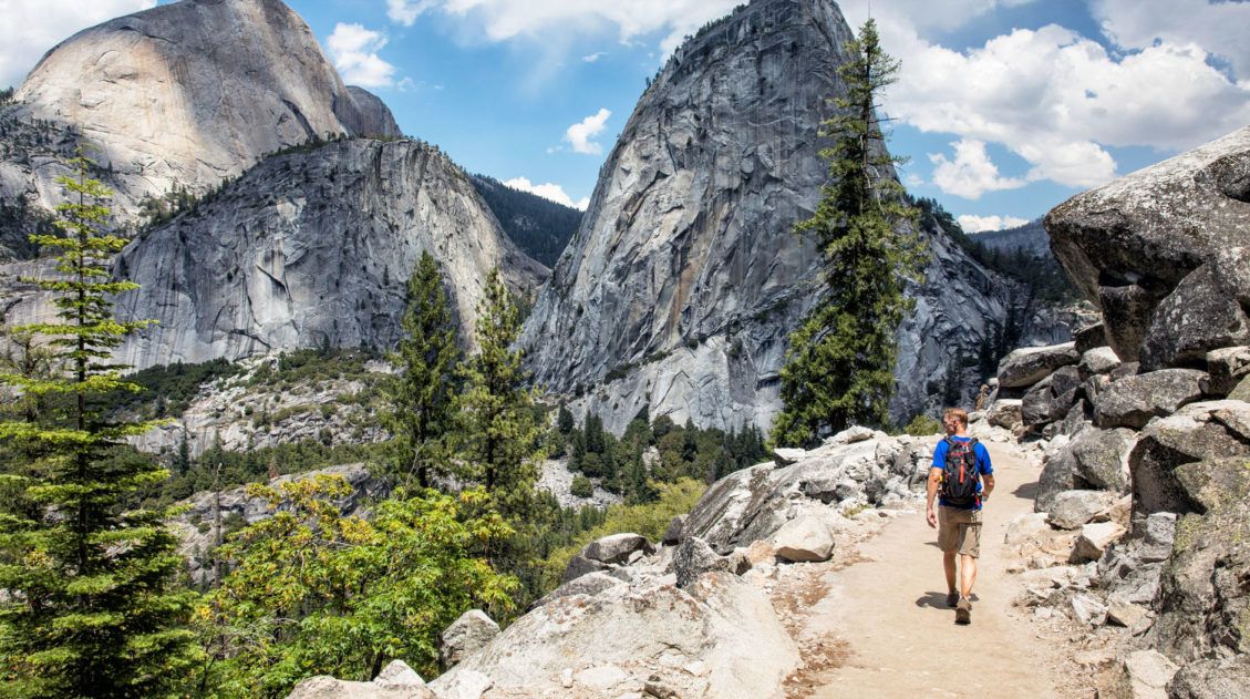
Essential Hiking Gear: What Should You Bring on a Day Hike?
If you are new to hiking or are curious about what you should bring on a hike, check out our Hiking Gear Guide. Find out what we carry in our day packs and what we wear on the trails.Safety Tips for Hiking Segla
Segla is a rewarding hike, but it deserves respect. A few things to know before you go:
The trail passes close to the cliff edge. On the final ascent, multiple informal trails lead to the summit. The leftmost trail takes you near the edge of Segla, where the cliff drops nearly straight down into Mefjord. We went this way and the views are extraordinary, but you need to be sure-footed and comfortable with exposure. If you have a fear of heights or are hiking with young children, stick to the trails on the right side of the ascent, which keep more distance from the edge.
Wet conditions make this hike dangerous. The rocky trail, especially the steep final climb, becomes seriously slippery when wet. This isn’t a hike to push through in rain. If the forecast looks uncertain, wait for a better day. The summit views are only worth it when you can actually see them anyway.
There is no trail down the north face. The north side of Segla is a near-vertical drop of close to 300 meters. Do not attempt to descend this way under any circumstances. The only safe route up and down is via the southern face from Fjordgard.
Start early. This isn’t just about crowds, it’s also about weather. Conditions on Senja can shift quickly in the afternoon. An early start gives you the best chance of clear skies at the summit and a safer descent.
Best Time to Visit Senja and Hike Segla
We hiked Segla in early July and had perfect conditions: clear skies, long daylight hours, and comfortable temperatures for the climb. The views from the summit were completely unobstructed, and we had the peak to ourselves for a stretch before the trail got busier later in the morning.
The official hiking season runs May through September, though July and August are the most reliable months for clear skies and fully snow-free trails. One thing worth knowing: Senja’s weather is famously unpredictable even in summer. Later that day, clouds moved in and the following day was wet, with a lot of rain. We got extremely lucky with our timing. The steep final section of this trail becomes genuinely dangerous when wet, so check the forecast before you go and consider postponing if rain is expected.
- Spring (May–June): Trail opens as snow melts, fewer crowds, but conditions can still be cold and wet at elevation. Late June brings near-endless daylight.
- Summer (July–August): Best weather and most reliable trail conditions. Busiest seasonso start early to beat the crowds and secure parking.
- Fall (September): Fewer hikers and beautiful light, but increasing chance of rain and early snow at the summit. Check conditions carefully.
- Winter (October–April): The hike is not recommended without winter mountaineering experience and proper gear. The steep final climb is extremely hazardous in ice and snow.
Frequently Asked Questions About Hiking Segla
How difficult is the Segla hike?
Segla is rated strenuous. The trail starts with a steady climb before flattening briefly on a plateau, then hits a very steep, rocky final ascent to the summit. It’s roughly a 45-degree incline for the last section. The total elevation gain is 610 meters (2,000 feet) over just 2.5 km (1.5 miles) one way, so the difficulty is less about distance and more about how relentlessly it goes up.
Is the Segla hike suitable for kids?
We hiked it with our kids when they were 13 and 15, and they handled it well. That said, this is a genuinely strenuous hike with steep, exposed sections near the edge of the cliff. We would not recommend it for young children or inexperienced hikers. Confident, fit teenagers should be fine, just stay on the trails that don’t approach the cliff edge.
How long does the Segla hike take?
Plan for 3 to 4 hours round trip at a comfortable pace, including time at the summit. We spent about an hour on top, which we’d recommend, because the 360° views are worth lingering over.
What is the difference between hiking Segla and hiking Hesten?
Segla takes you to the summit of the mountain itself, where you get sweeping 360° panoramic views of Senja’s fjords and peaks. Hesten is a separate hike that gives you the iconic view of Segla, the dramatic cliff face plunging into Mefjord that you’ve seen in photos. If the famous view is your goal, you need Hesten. If you want to stand on top of one of Senja’s most iconic peaks, hike Segla.
Can you hike Segla and Hesten in the same day?
Technically yes, but they are two separate hikes with separate trailheads, and you cannot link them on the mountain. Combined, it would make for a very full and tiring day. Most visitors choose one or the other.
Is Segla dangerous?
Parts of the trail pass close to the cliff edge, and the final ascent is very steep. The biggest risk factor is wet weather. The rocky trail becomes slippery and significantly more hazardous in rain. Check the forecast before you go. If it’s raining or conditions are uncertain, postpone.
Where We Stayed
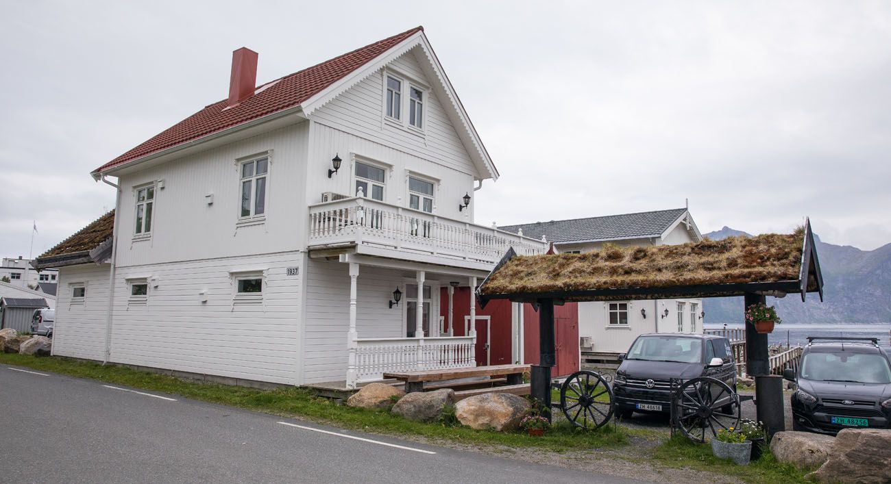
We stayed in Mefjordvaer at Mefjord Brygge. This place was great. We had our own house with three bedrooms, two bathrooms, two living rooms, and a full kitchen. It was awesome having so much space to spread out in. Mefjord Brygge also runs a restaurant that serves fresh fish and seafood and really good desserts. From the property we could look out over Mefjord and see Segla.
More Northern Norway Inspiration
Planning more of your time in northern Norway or building a bigger Norway itinerary? These guides will help you plan the rest of your trip.
- New to the Lofoten Islands? → Our Best Things to Do in the Lofoten Islands covers the essential experiences, from iconic hikes to boat trips and scenic drives.
- Best hikes in Norway → Our guide to the best hikes in Norway includes many bucket list trails, including Reinebringen, Trolltunga, Kjeragbolten, and Pulpit Rock.
- Hiking near Tromsø → The hike to Ørnfløya is a short but incredibly scenic hike near Sommarøy.
- Hiking near Svolvaer → Our guide to Svolvaer Fløya & Djevelporten covers one of the most rewarding hikes in northern Lofoten.
- A longer Norway road trip → Our 10 Day Northern Norway Itinerary takes you from Tromsø through Senja and the Vesterålen Islands before finishing in the Lofoten Islands.
- For all of our Norway content in one place → Visit our Norway Travel Guide.
If you have any questions about hiking Segla or visiting Senja, comment below!
More Places to Visit in Norway
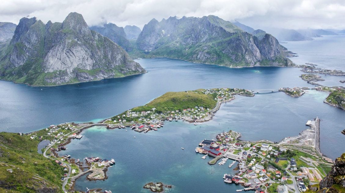
20 Best Things to Do in Norway: Fjords, Lofoten & Svalbard
Pinterest Facebook Flipboard Norway is one of our favorite countries in the world, and narrowing down the best things to do in Norway for this list was genuinely hard. There’s just so much worth doing. We’ve been twice so far, and we’re already dreaming about a third trip. Our first visit was a family trip […]
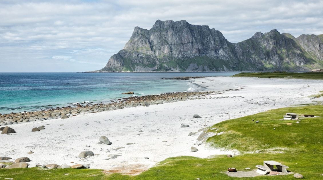
Lofoten Islands Itinerary: 4 to 5 Days in Norway’s Most Spectacular Islands
There are places that stop you in your tracks the moment you arrive. The Lofoten Islands are one of them. We pulled over constantly, not because we planned to, but because we couldn’t drive past another mountain plunging straight into the fjord, another stretch of white sand beach backed by jagged cliffs, or another cluster […]
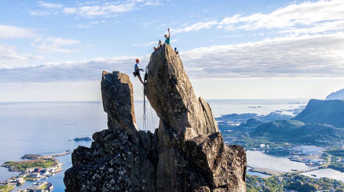
Complete Guide to Climbing Svolvaergeita in the Lofoten Islands
Svolvaergeita, also called “The Goat,” is a pinnacle of rock that is a popular rock climbing spot in the Lofoten Islands. It is named The Goat because of the two horns of rock that sit atop the rock. Those with a sense of adventure can climb to the top of Svolvaergeita and those who are […]
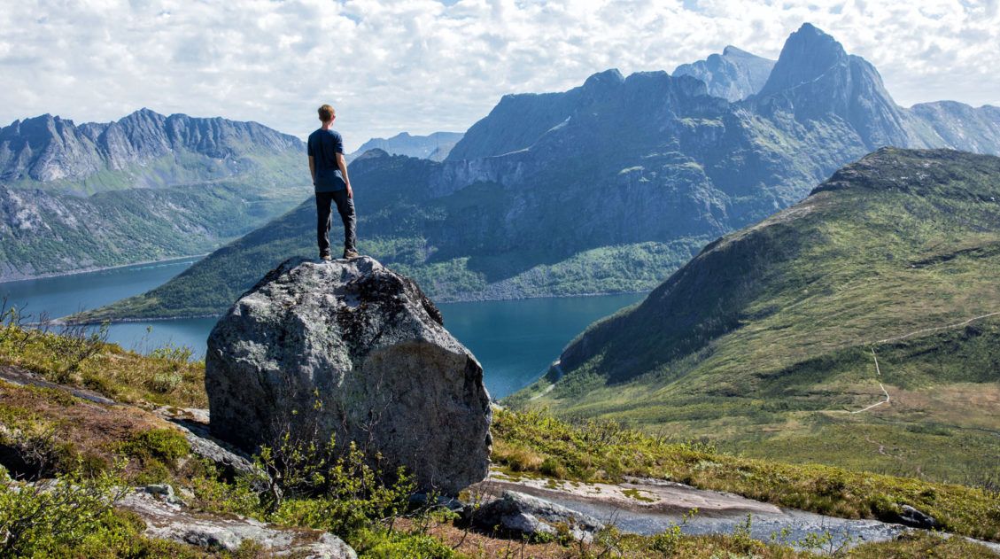
Best Hikes in Norway: 14 Epic Trails for Every Level
For hikers, few places in Europe can match Norway. The hikes in Norway are endlessly varied and genuinely world-class, from the fjords of southern Norway, the jagged peaks of the Lofoten Islands, and the remote coastline of Vesterålen and Senja. Alongside the Dolomites and the Swiss Alps, this is one of our absolute favorite places […]
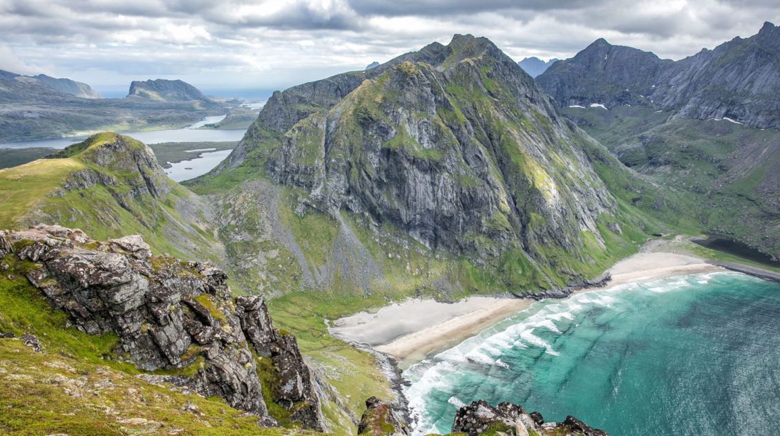
Hiking Ryten: Kvalvika Beach Views & Lofoten’s Mini-Trolltunga
The hike to Ryten has all of the ingredients of a perfect Lofoten Islands hike: sweeping vistas across the mountains and fjords, a fun but slightly strenuous hike to a mountain peak, and a breathtaking view of a white, sandy beach. The icing on the cake is a “mini Trolltunga,” an outcropping of rock where […]

Where to Stay in the Lofoten Islands: Rorbuer, Hotels & More
If you’re trying to figure out where to stay in the Lofoten Islands, the first thing you need to know is this: the islands have their own iconic accommodation type, and it’s unlike anything else in the world. Rorbuer, traditional Norwegian fishermen’s cabins, typically perched on stilts over the water, are the reason so many […]
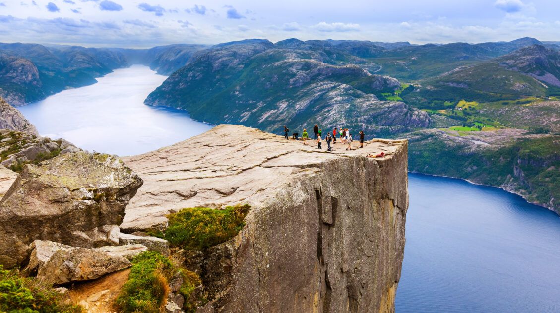
Hiking Pulpit Rock (Preikestolen): What to Expect, Trail Guide & Tips
The hike to Pulpit Rock (Preikestolen) was the first hike our kids ever did in Norway and it set the bar high. Tyler was 10, Kara was 8, and we’d spent the previous months wondering whether they were really ready for Norwegian hiking. We’d taken them on Old Rag in Shenandoah as a test run, […]
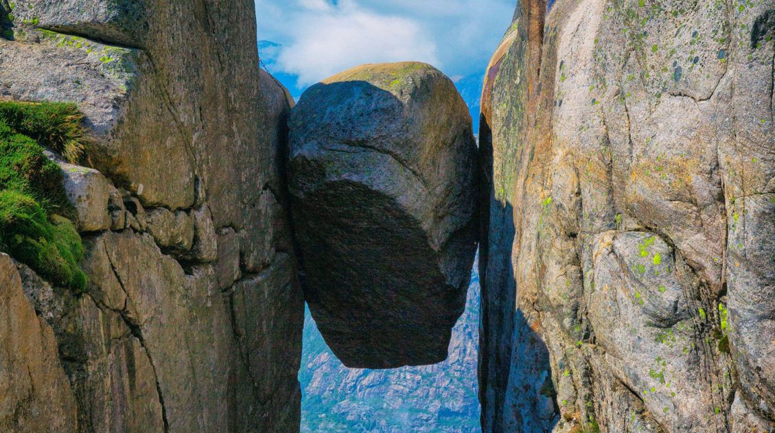
Kjeragbolten: Our Favorite Hike in Norway
Kjeragbolten is one of Norway’s most iconic and nerve-wracking hikes: a boulder wedged 1,000 meters above Lysefjord, reached by a strenuous 12 km trail from the Stavanger area. When Tim and I first researched Norway as a travel destination, we repeatedly saw photos of what looked to be crazy people standing on a boulder with […]
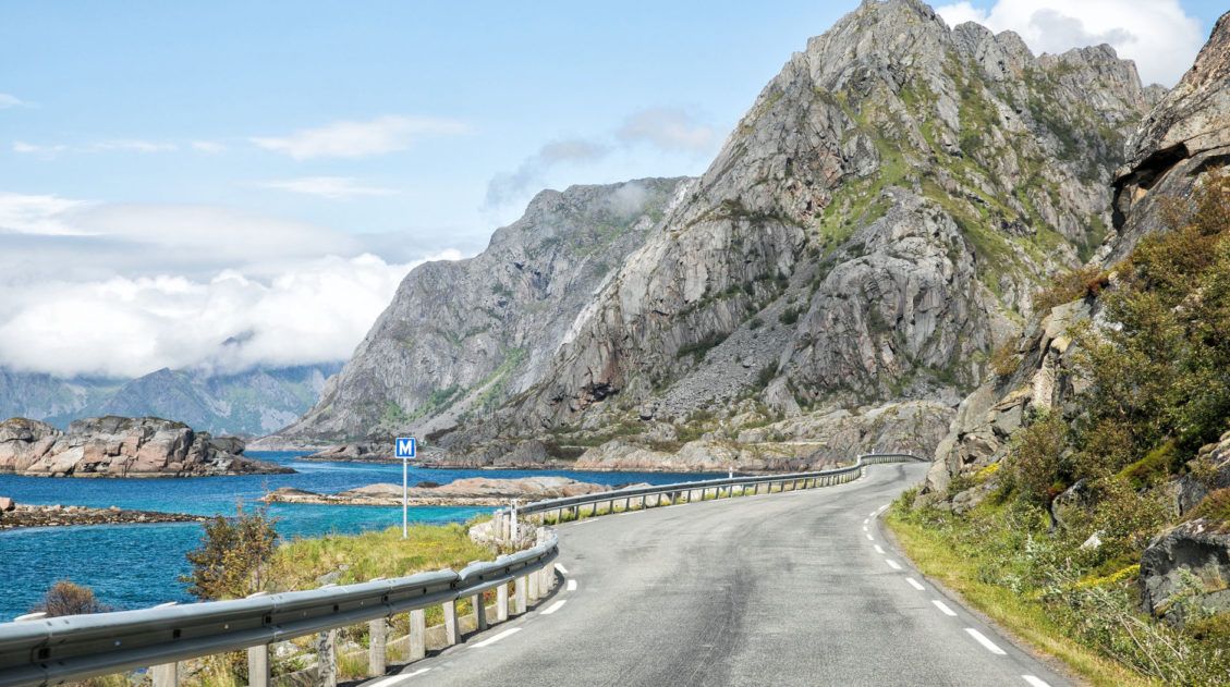
10 Days in Norway: How to Combine the Fjords and the Lofoten Islands
After two trips to Norway, one through the fjord region, one through the far north, we started getting the same question over and over in our comments: Can we combine both into one trip? How do we do the fjords AND the Lofoten Islands in 10 days? That’s exactly what this post is for. We’ve […]
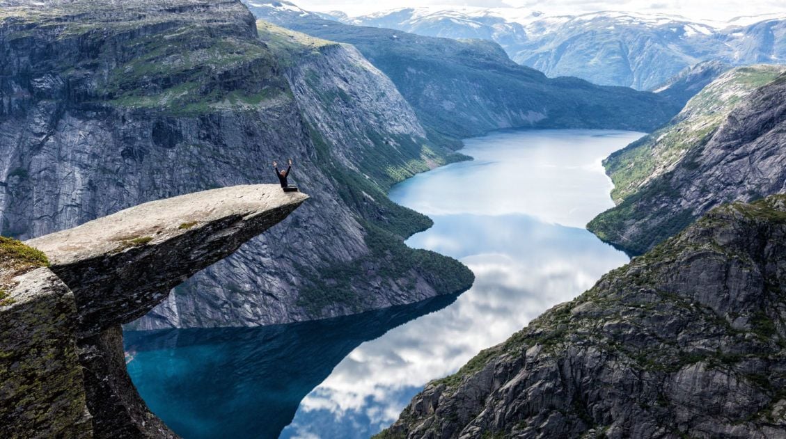
How to Hike Trolltunga: Everything You Need to Know
Trolltunga was the third hike on our first Norway trip, and by then we had a pretty good read on what Tyler and Kara could handle. They’d already done Pulpit Rock and Kjeragbolten, two hikes that would have been on most adults’ bucket lists, and they hadn’t complained once. Tyler was 10. Kara was 8. […]
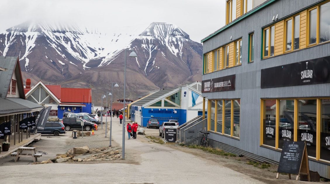
12 Best Things to Do in Longyearbyen, Svalbard
Longyearbyen is the world’s northernmost city. This is a town where the streets have no names, reindeer wander through town, and there are more snowmobiles than people. If you have plans to visit Svalbard, Longyearbyen is where you will eat, sleep, and fill your time in between arctic adventures. The best things to do in […]
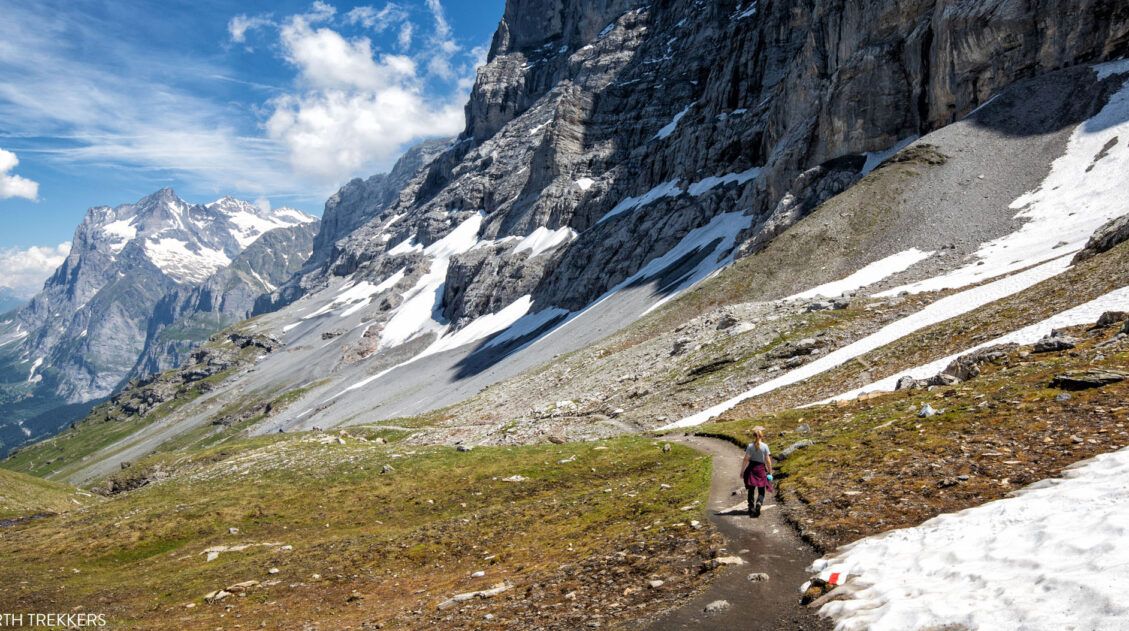
Best Hikes in Europe: 25 Incredible Hikes for Every Level
From the dramatic cliffs of Norway to the jagged peaks of the Dolomites and the volcanic landscapes of Iceland, Europe is packed with some of the most unforgettable hikes in the world. In this guide, we share our favorite hikes in Europe, trails that stand out for their scenery, uniqueness, and overall experience from start […]


Comments 16